


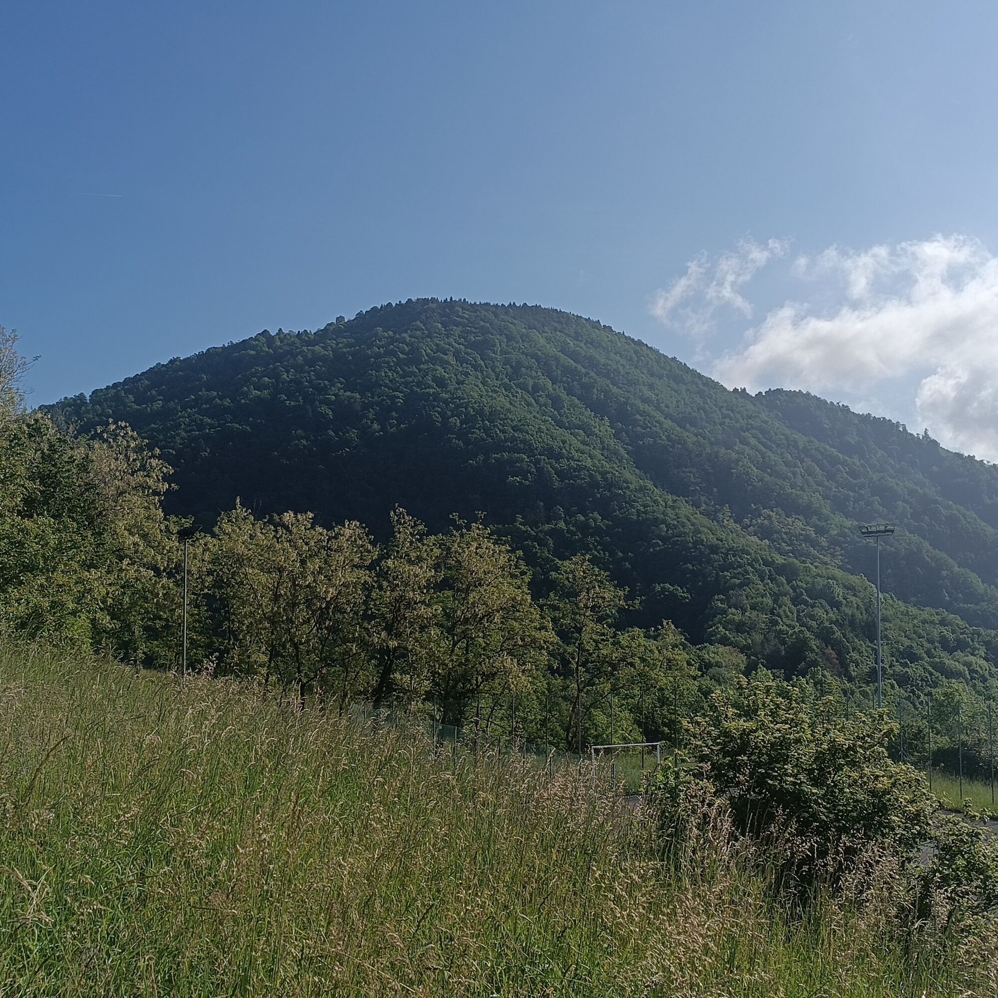
Monte Hum loop
Monte Hum has many sites of historical interest, as battles took place here during the First World War, particularly in the defeat at Caporetto. During the walk, you can observe several tunnels and trenches...
Monte Hum has many sites of historical interest, as battles took place here during the First World War, particularly in the defeat at Caporetto. During the walk, you can observe several tunnels and trenches used exactly in those years. There are also interesting natural aspects, passing from the beech forest environment to mixed woodland and meadow. Accurate descriptions on signage about the historical aspects are available on site.

A large part of the path follows the route of the Sentiero Italia, with the rest marked by local signage
Áno
Standard hiking equipment
No special precautions
From Cividale, take SS54 towards SLOVENIA, in the locality of Ponte San Quirino follow the sign to STREGNA. Arriving at Zamir, follow TRIBIL SUPERIORE
Large parking lot at the sports field of Tribil Superiore
Obľúbené výlety v okolí
-
4,6
Kozjak Wasserfall und Soča
svetloTuristika 5,18 km -
3,9
Tolminka Klamm
svetloTuristika 1,90 km -
3,3
Auf den Krn
strednáTuristika 5,90 km -
3,2
Slap Kozjak (Wasserfall)
svetloTuristika 3,40 km -
4,0
Matajur
strednáMountainbike 24,8 km -
4,2
Kolovrat
strednáMountainbike 33,0 km -
4,8
Kobarid - Stari grad - Restaurant Kamp Lazar - Veliki Kozjak
strednáTuristika 8,98 km -
5,0
JULIANA TRAIL - stage 12: Tolmin – Kobarid
strednáTuristika 17,3 km -
5,0
Planina Kuhinja - Gomiščkovo zavetišče na Krnu - Krn - Batognica
strednáTuristika 14,4 km -
5,0
Planina Razor
ťažkéMountainbike 33,1 km
Turistika a stopovanie


Nenechajte si ujsť ponuky a inšpiráciu na ďalšiu dovolenku
Vaša e-mailová adresa bol pridaný do poštového zoznamu.