



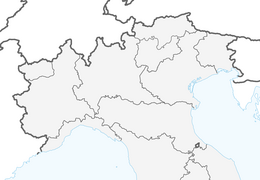


Loop of Monte di Ragogna
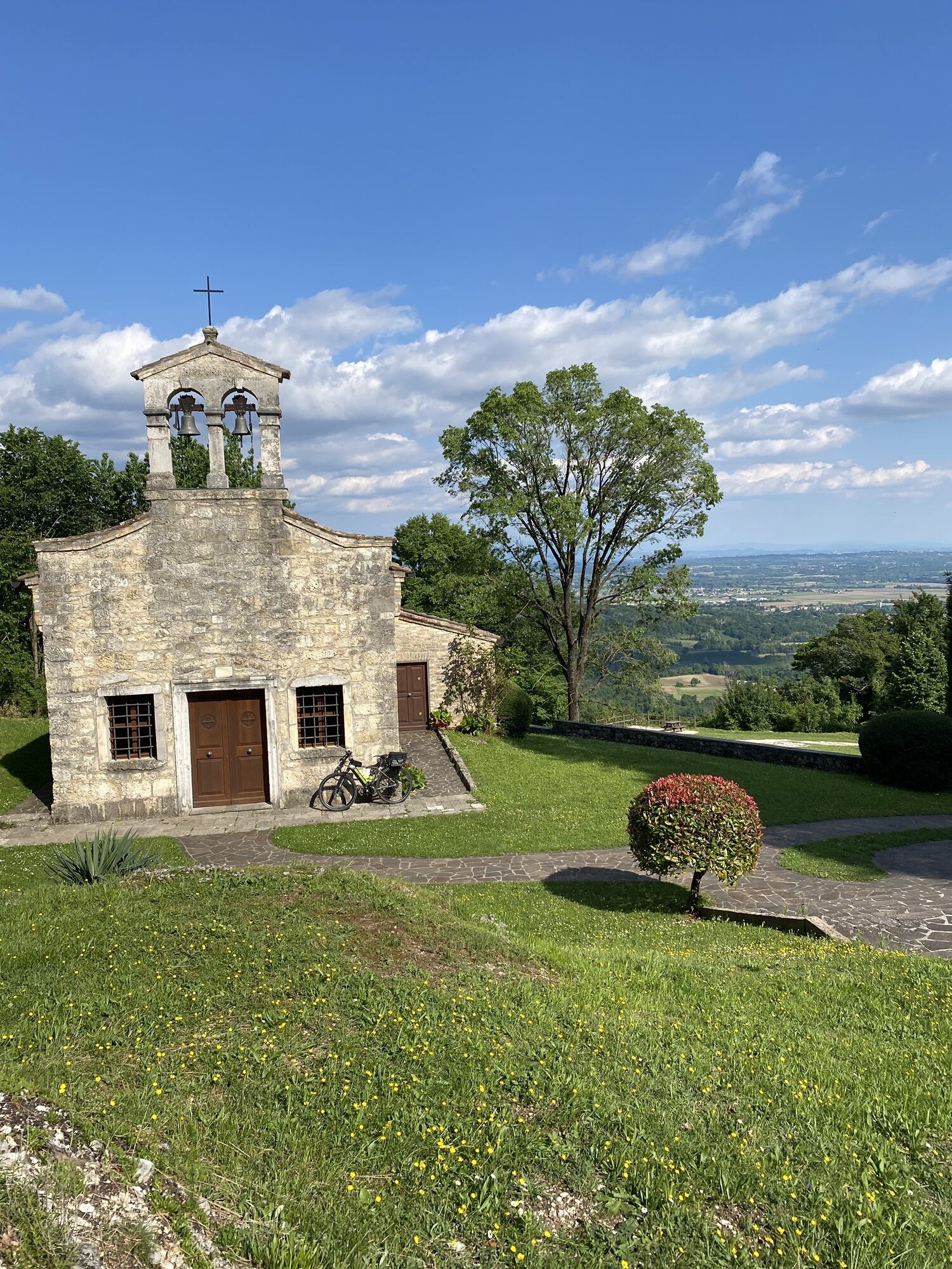
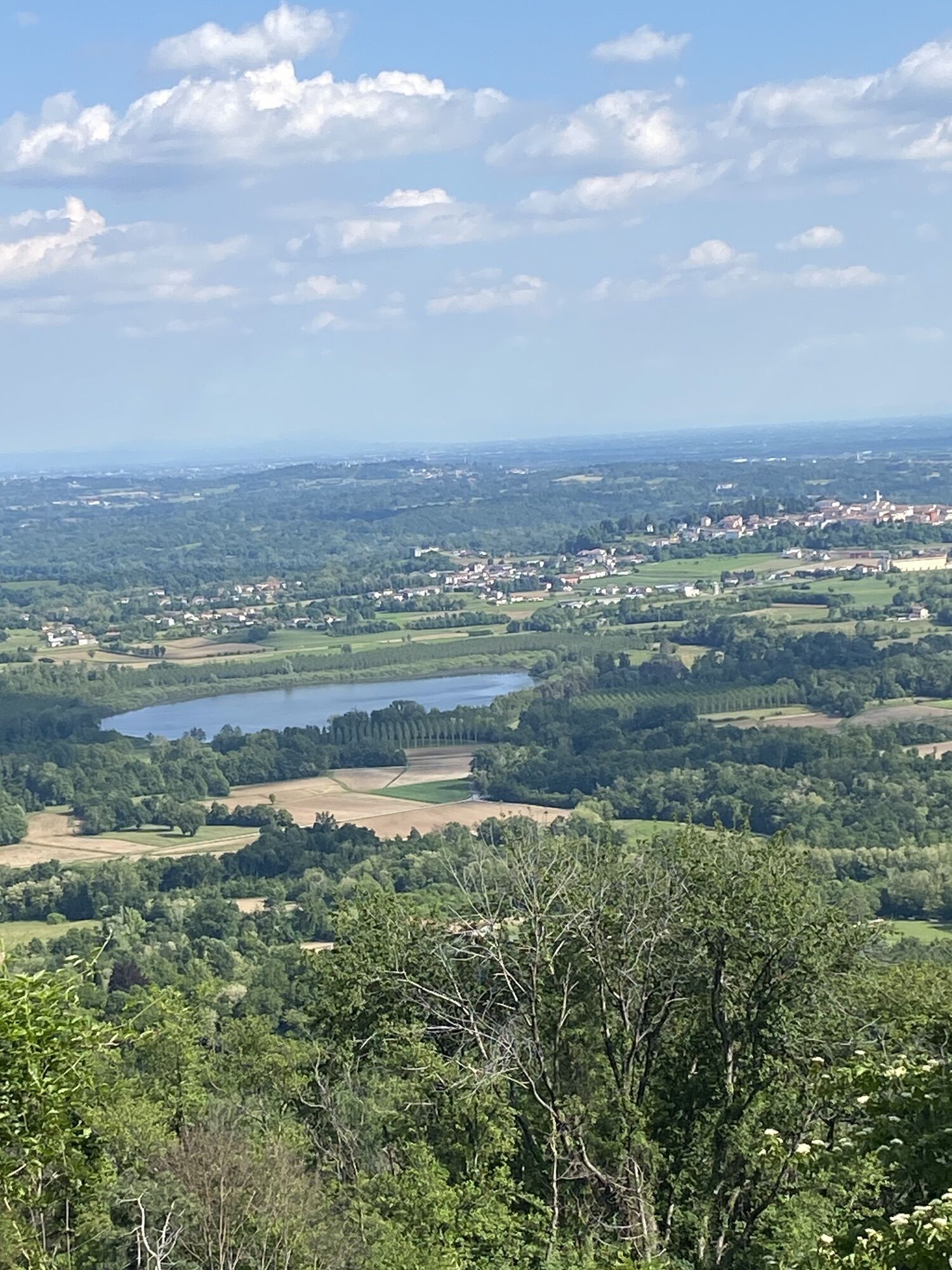
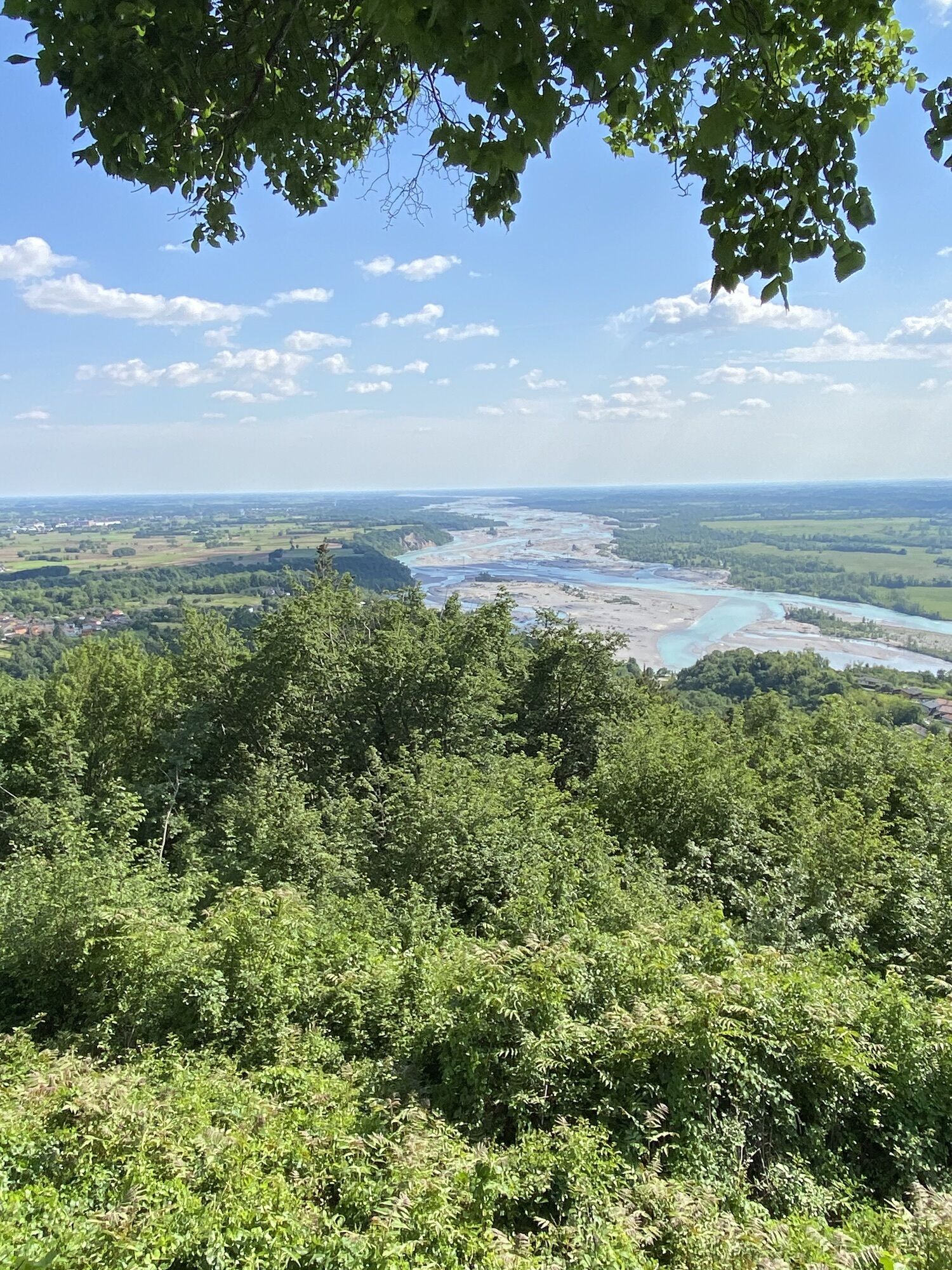
Monte di Ragogna, a modest elevation northwest of San Daniele, has a remarkable historical importance despite its altitude of only 512 meters. This moraine hill forces the Tagliamento river to form a significant...
Monte di Ragogna, a modest elevation northwest of San Daniele, has a remarkable historical importance despite its altitude of only 512 meters. This moraine hill forces the Tagliamento river to form a significant bend before continuing towards the plain and the Adriatic Sea, and it witnessed military events during the First World War. The commemoration of these events led to the establishment of the Great War Museum in Ragogna, accompanied by a historical path connecting the most significant points from San Pietro to Muris.
Along this route, you can explore numerous historical remains, such as the permanent Battery "Ragogna Bassa," the bunkers with soldiers' writings, and the Battery "Ragogna Alta" located at 482 meters above sea level, next to the armored powder magazines and the Cavallino Fort. Continuing, you can observe the second-line trenches and reach the strongholds of Cret dal Louf and Spice, thus enriching the visit with important testimonies of military history. In this context, Monte di Ragogna is not just a hill to explore but a place inviting reflection on memory and the sacrifice of those who fought there.

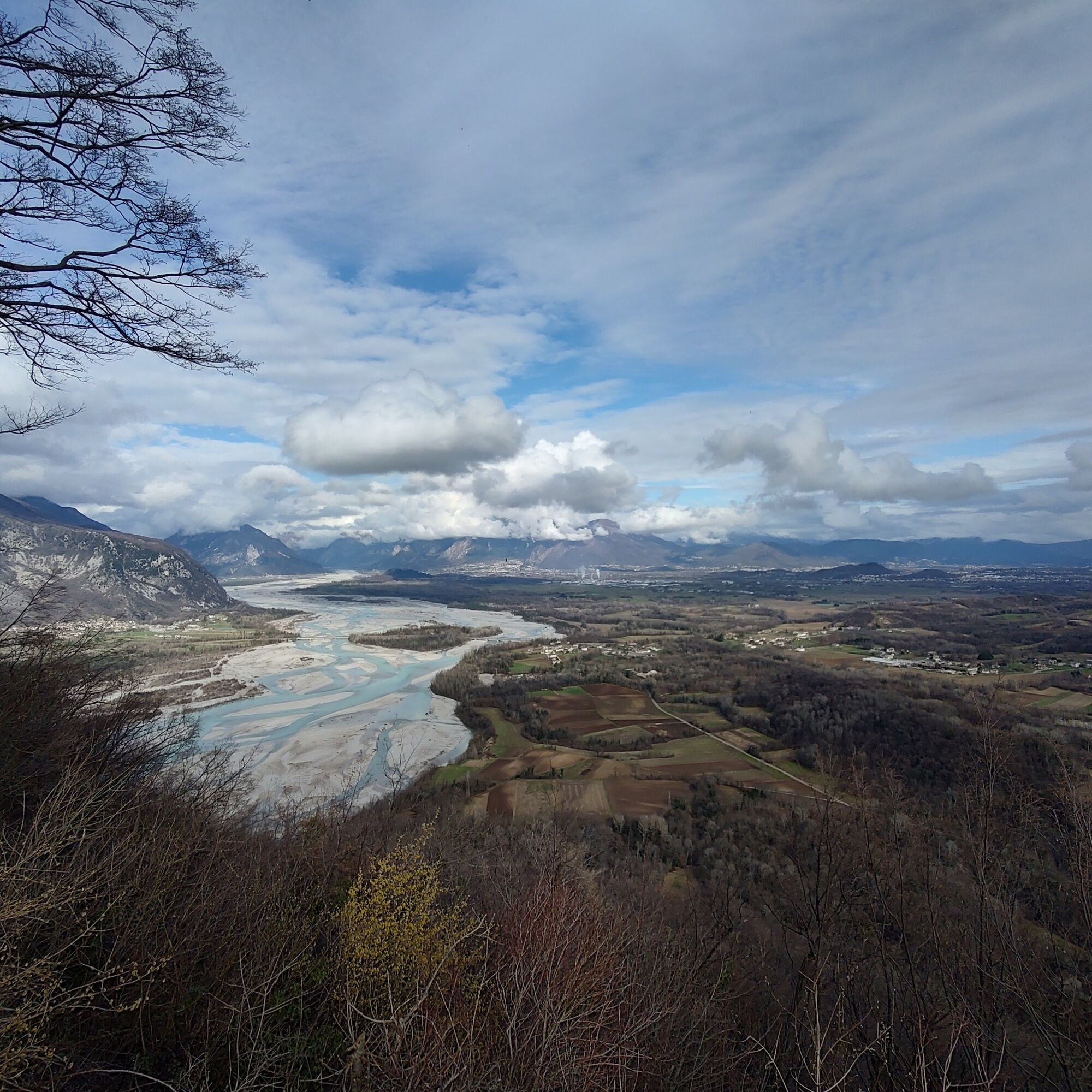
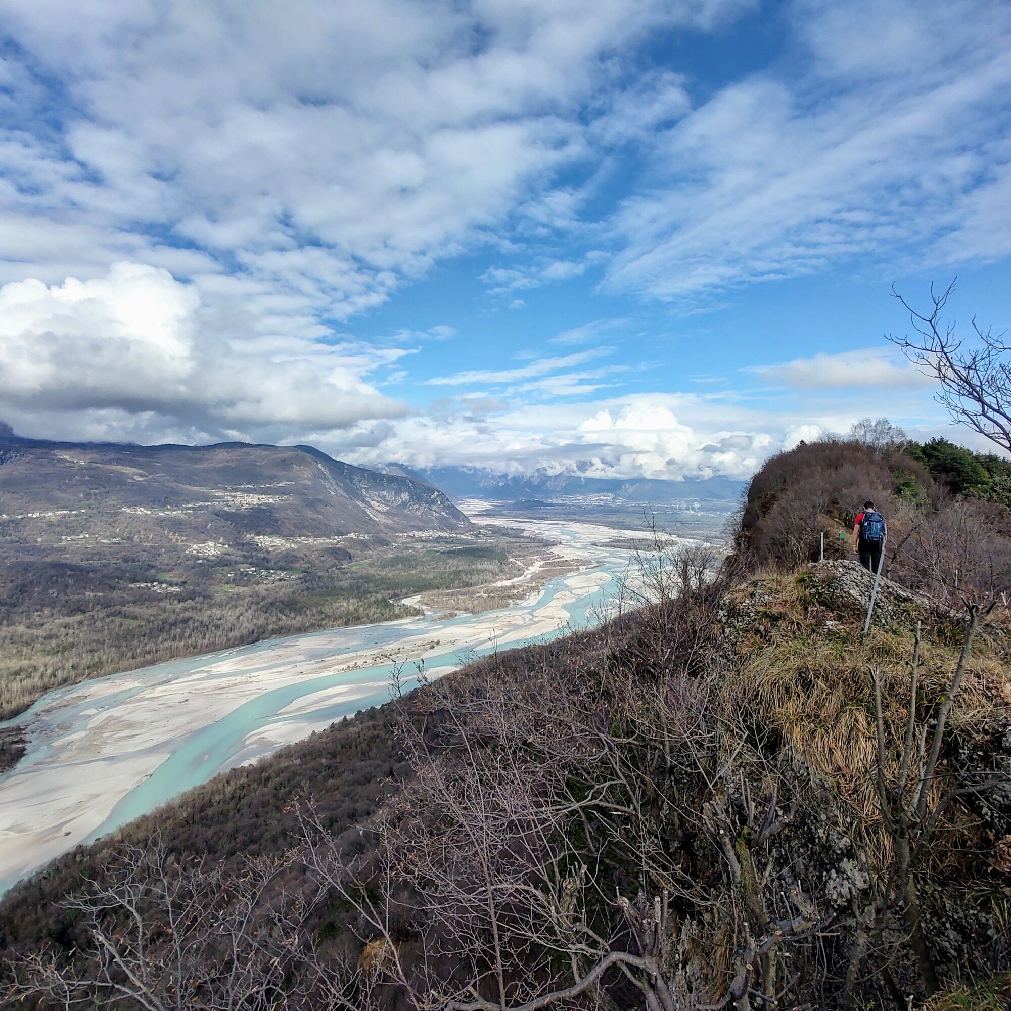
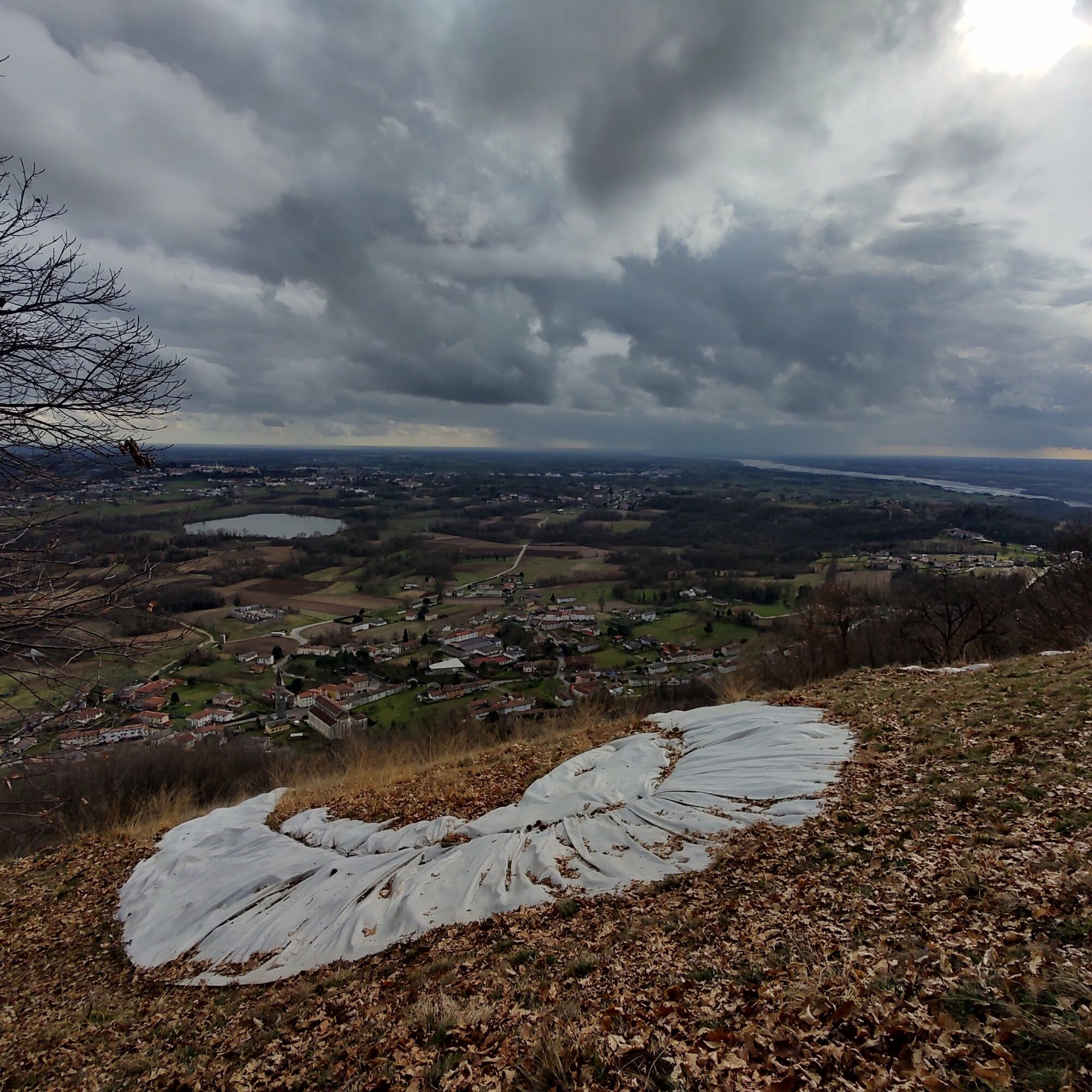
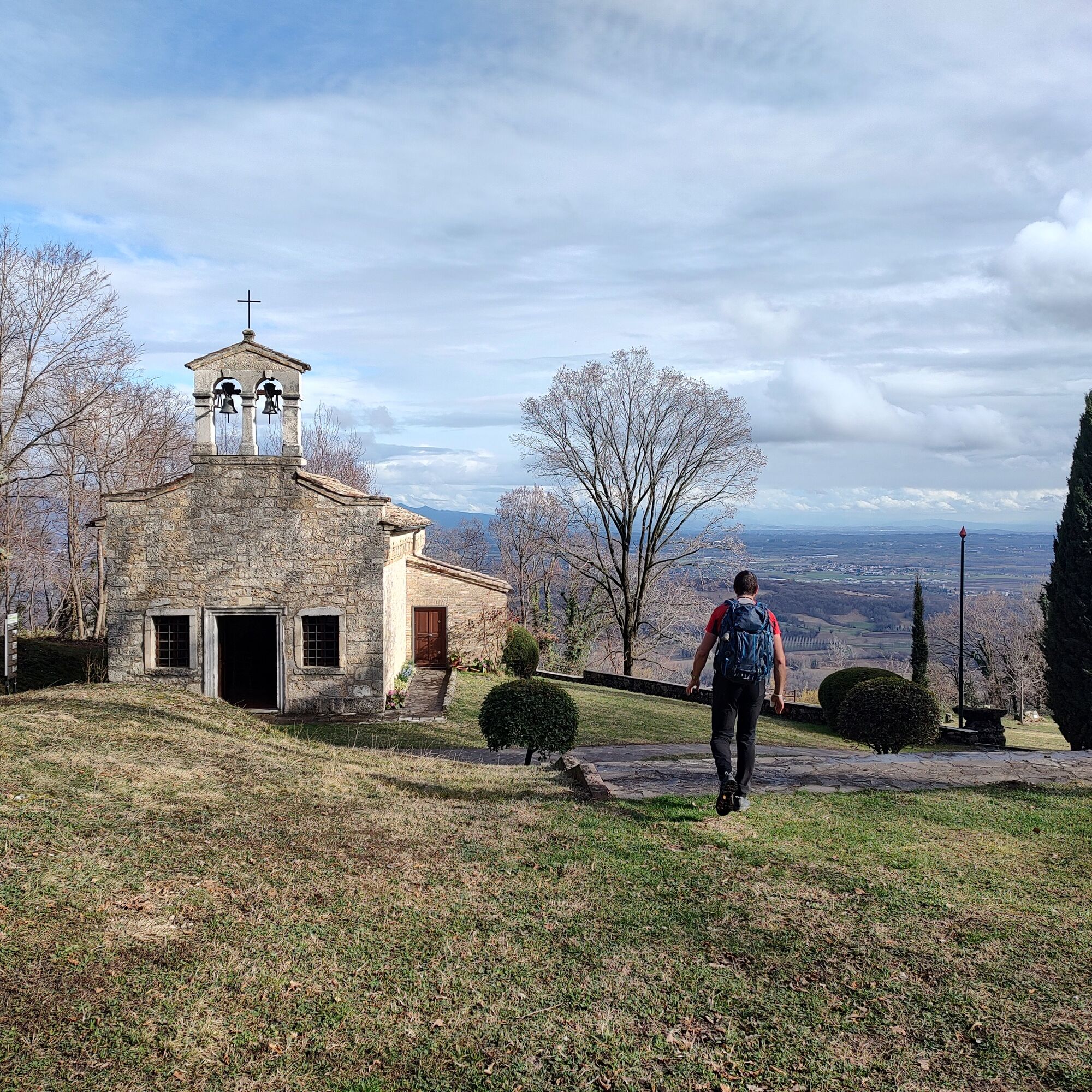
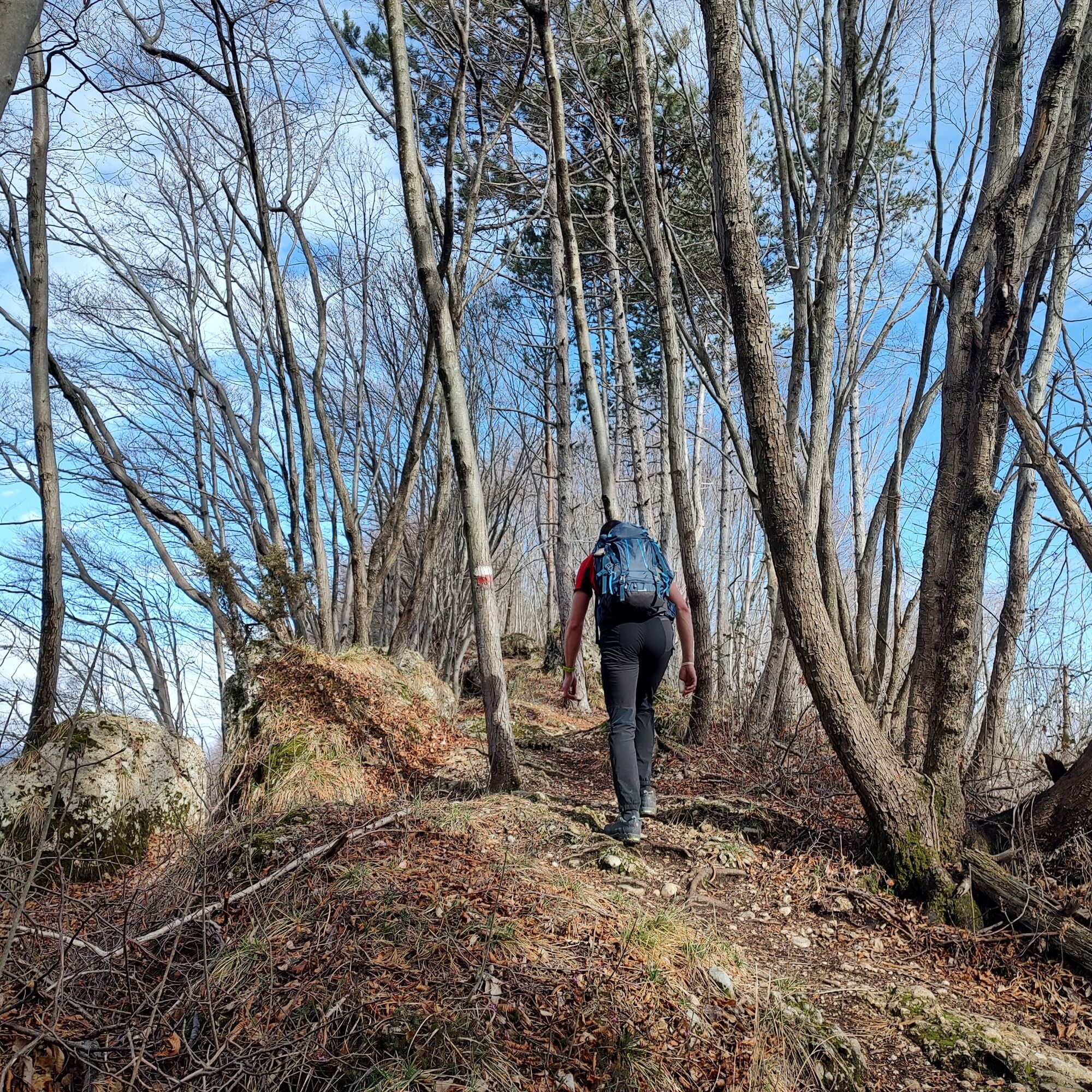
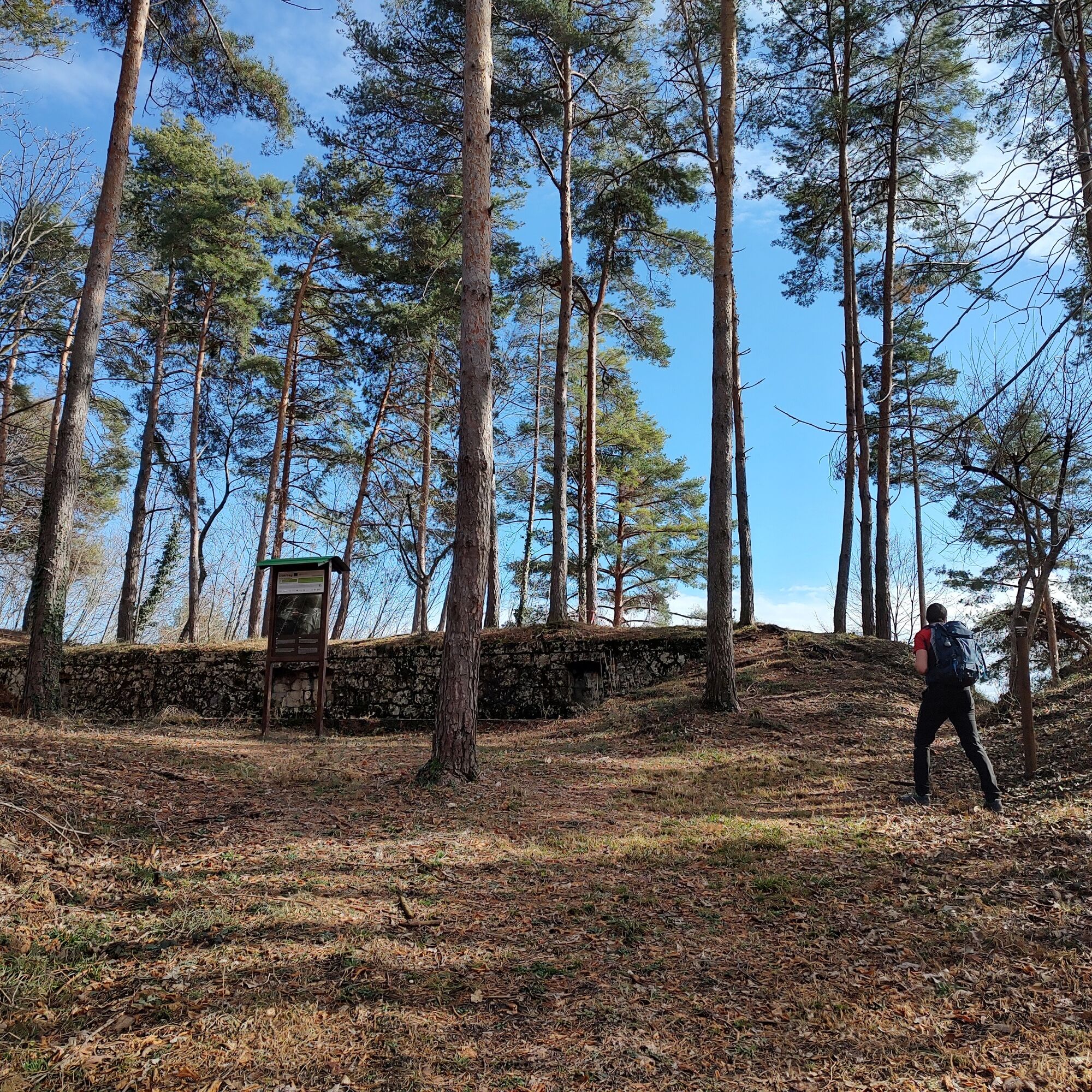
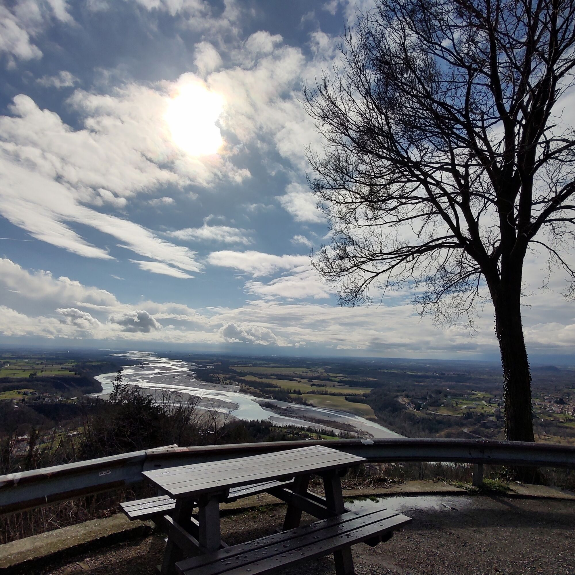

From the plateau with the panoramic point, follow the paved road which you leave after about a hundred meters to continue along the dirt road (CAI 813) that crosses the southern side of Monte di Ragogna. Along the road you find signs on the left to reach the viewpoint hosting the heart visible from San Daniele del Friuli. Continue downhill on the dirt road paying attention to the CAI markers on the right, which indicate the continuation of the path in the woods. Pass beside the ruins of a mill and reach the village. Continue first on via dai Roncs and then on via dell'amicizia returning to the castle parking lot.
Áno
Áno
Standard hiking equipment, depending on the season.
Pay special attention to the numerous paths in the area to avoid losing the trail.
From San Daniele del Friuli or from Pinzano al Tagliamento, head towards Ragogna SS463. From the main road crossing the village, follow signs for the castle of Ragogna by taking via Castello.
You can reach San Pietro di Ragogna (UD), about 10 minutes from the starting point, by bus.
Castle parking lot of Ragogna.
There are no refreshment points along the hike; remember to carry adequate reserves of water and food.
During summer weekends, the castle of Ragogna is open for visits and guided tours are possible by appointment.
Obľúbené výlety v okolí
-
4,8
Monte Cuar loop
strednáTuristika 7,26 km -
5,0
Venzone - Udine (C102)
strednáDiaľková cyklotrasa 56,7 km -
FVG3 Cyklotrasa Pedemontana (C300)
ťažkéDiaľková cyklotrasa 182,0 km -
4,8
Brancot, Palantarins e Tre Corni da Braulins
strednáTuristika 8 km -
5,0
Monte Prat loop from Cornino
strednáTuristika 15,2 km -
Palcoda a Tamar, opustené dediny
strednáTuristika 8,38 km -
Parenzana Extended
strednáMountainbike 422,0 km -
Okruh San Daniele del Friuli (R007)
strednáDiaľková cyklotrasa 31,4 km -
Monte Valinis loop from Sottomonte
strednáTuristika 8,41 km -
Monte di Ragogna by Wilson Holz
svetloTuristika 12,3 km

Turistika a stopovanie


Nenechajte si ujsť ponuky a inšpiráciu na ďalšiu dovolenku
Vaša e-mailová adresa bol pridaný do poštového zoznamu.





