


RING OF LAKE BARCIS
Úroveň náročnosti: T1
From the locality of Ponte Antoi, where the Information Point and the Visitor Center of the Forra del Cellina Nature Reserve are located, leave behind the entrance to the Vecchia Strada della Valcellina...
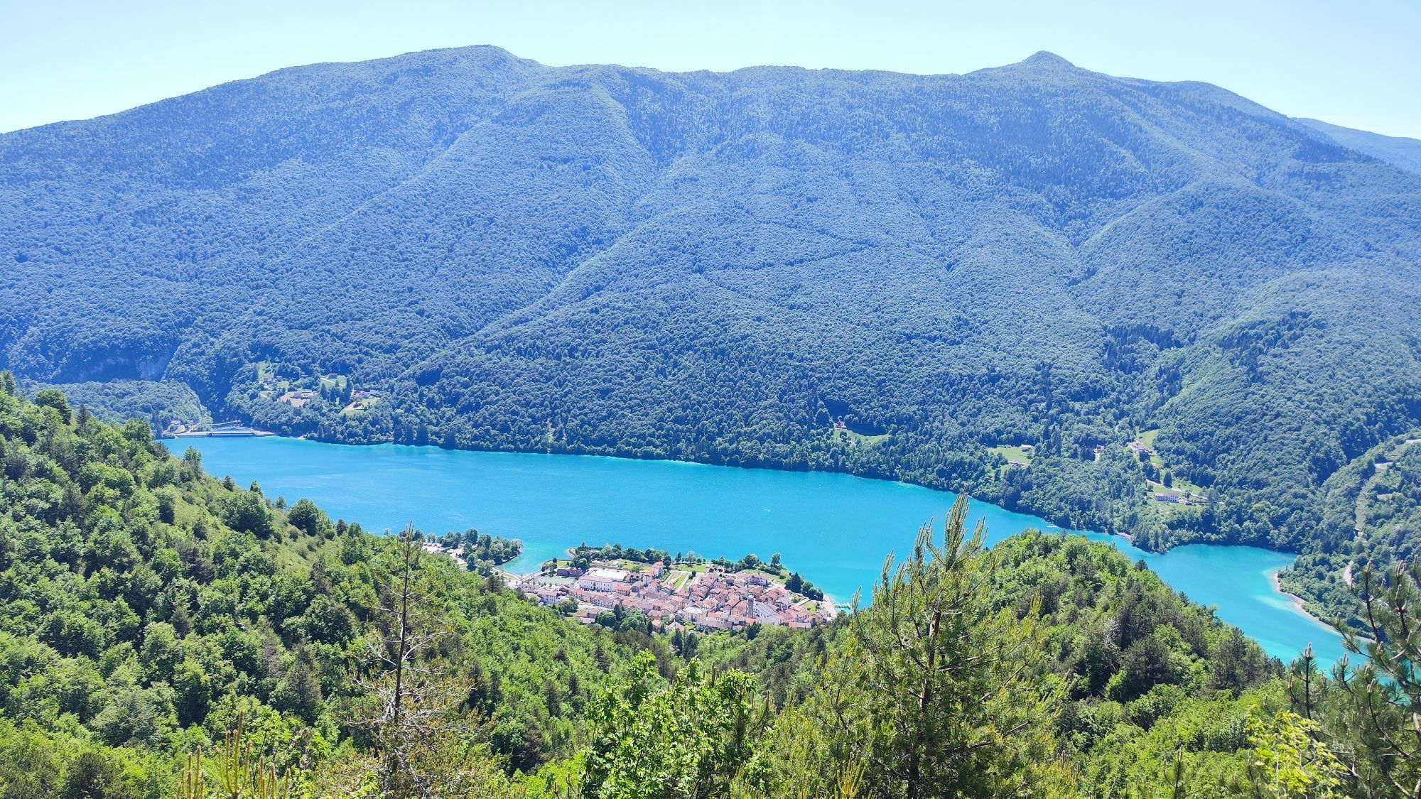
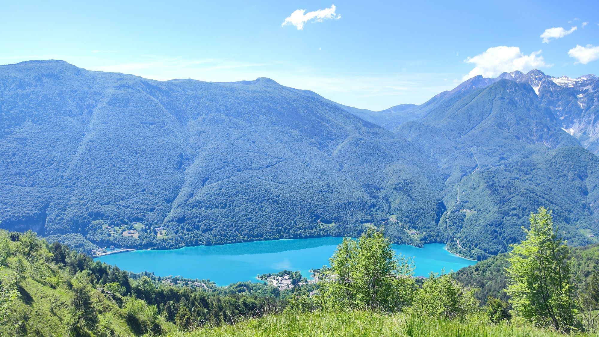
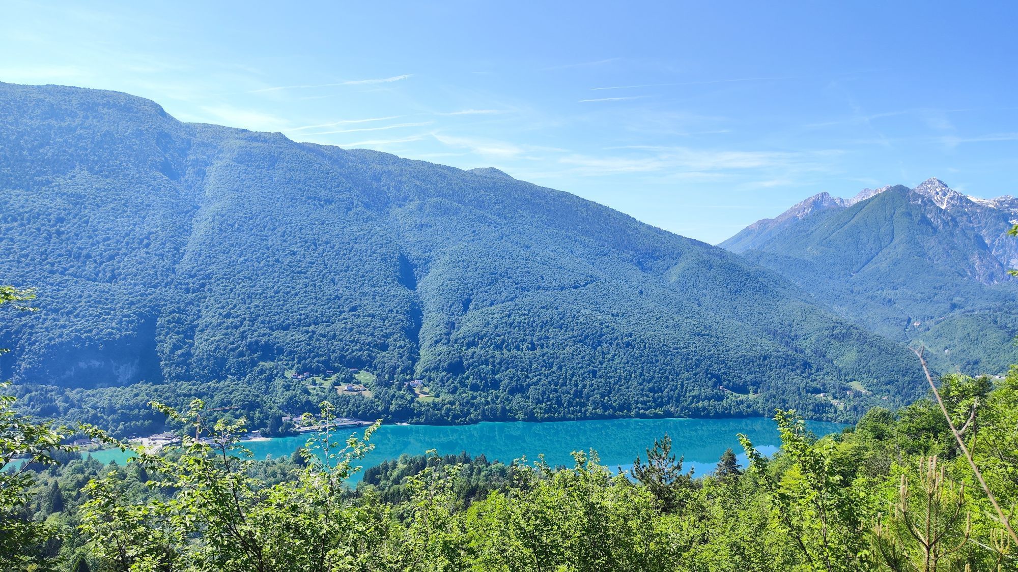
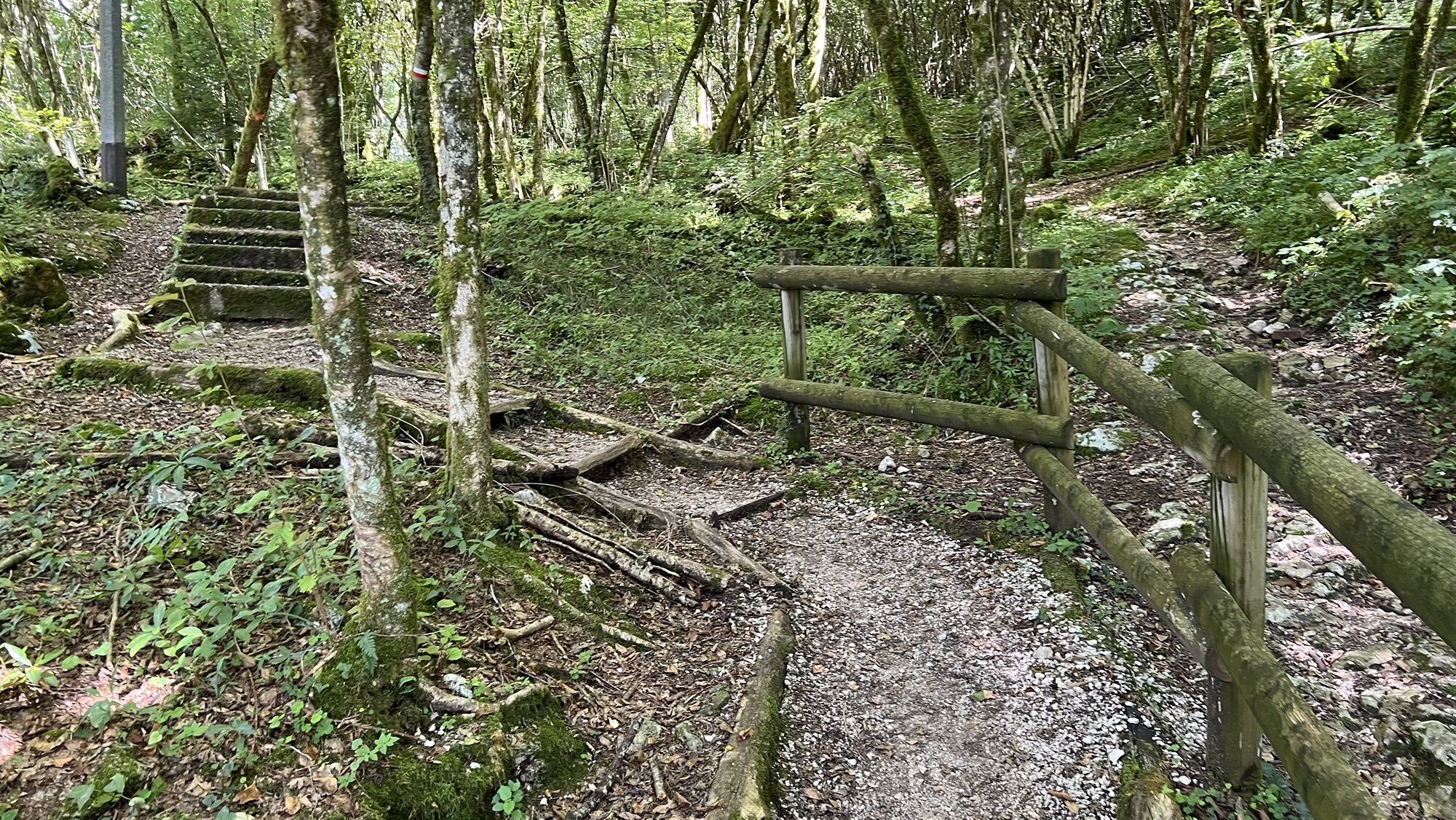
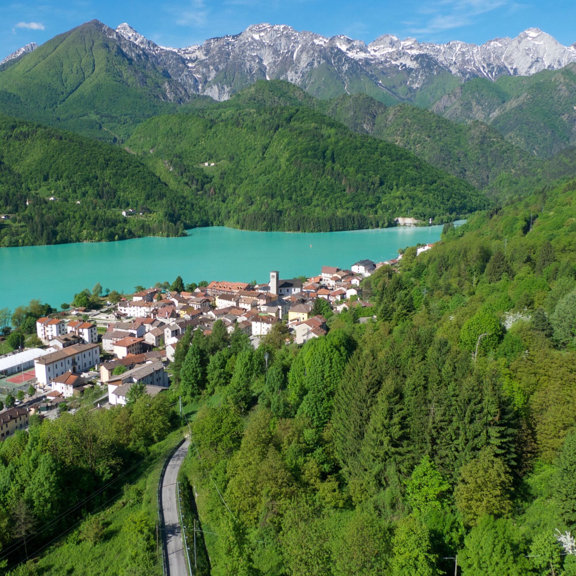
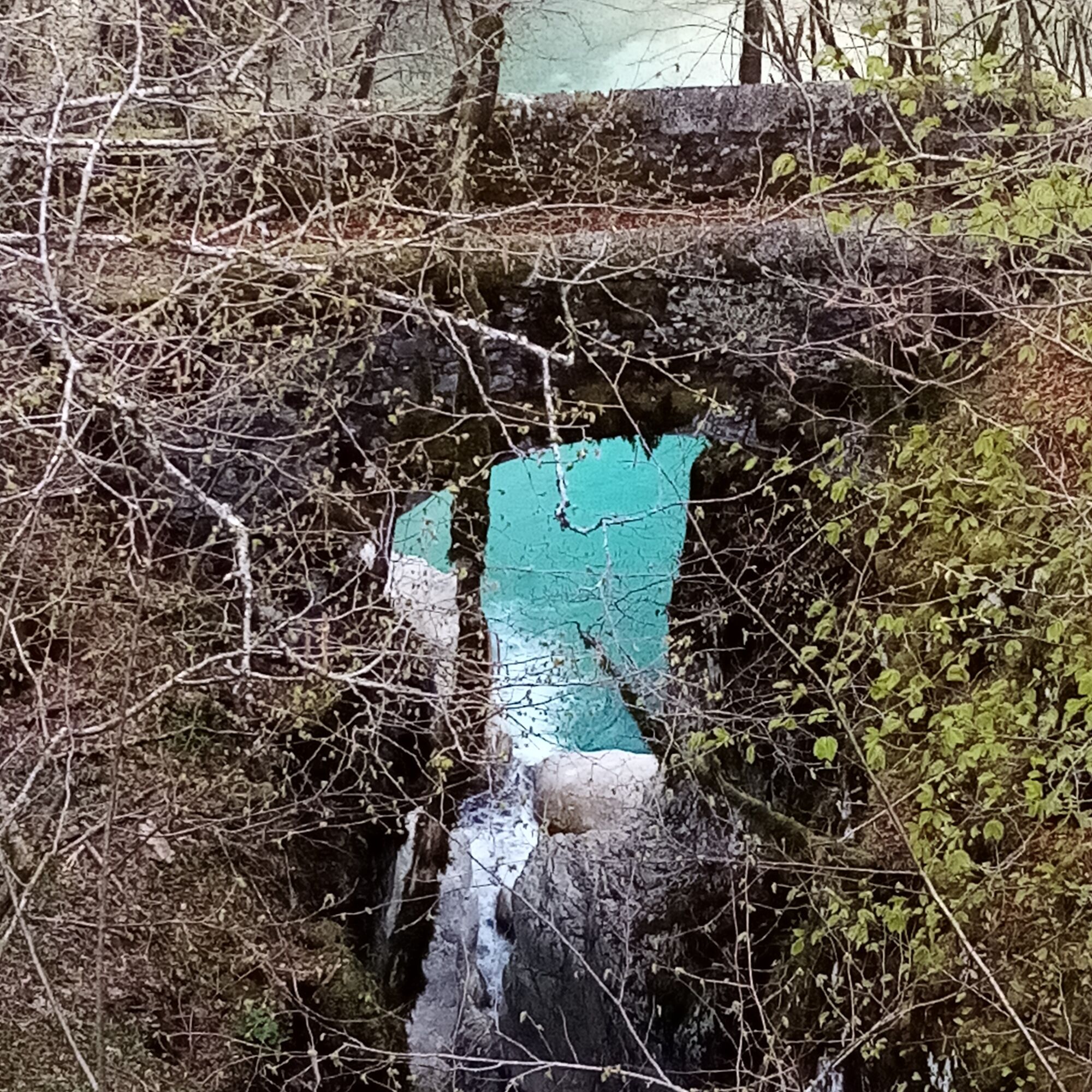
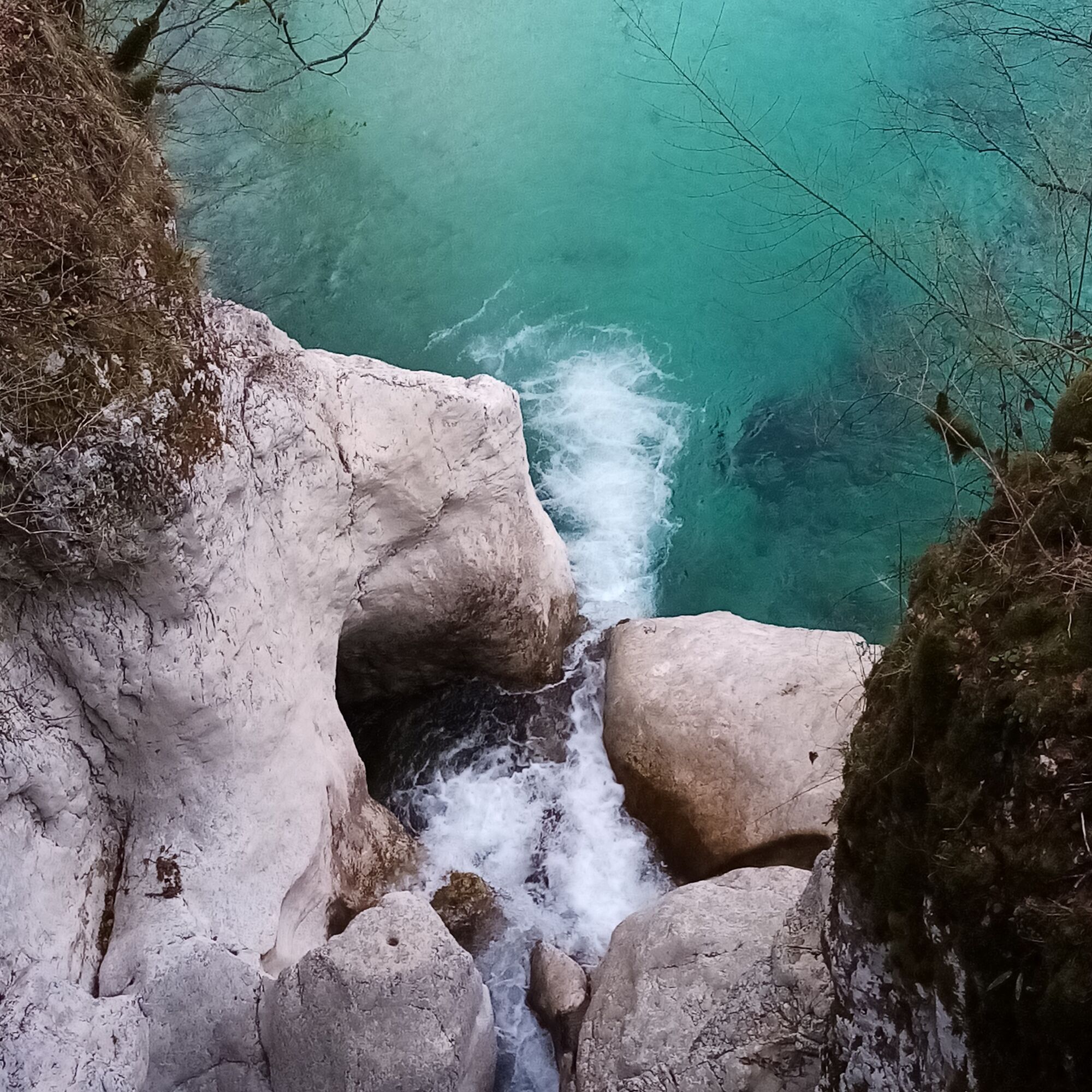
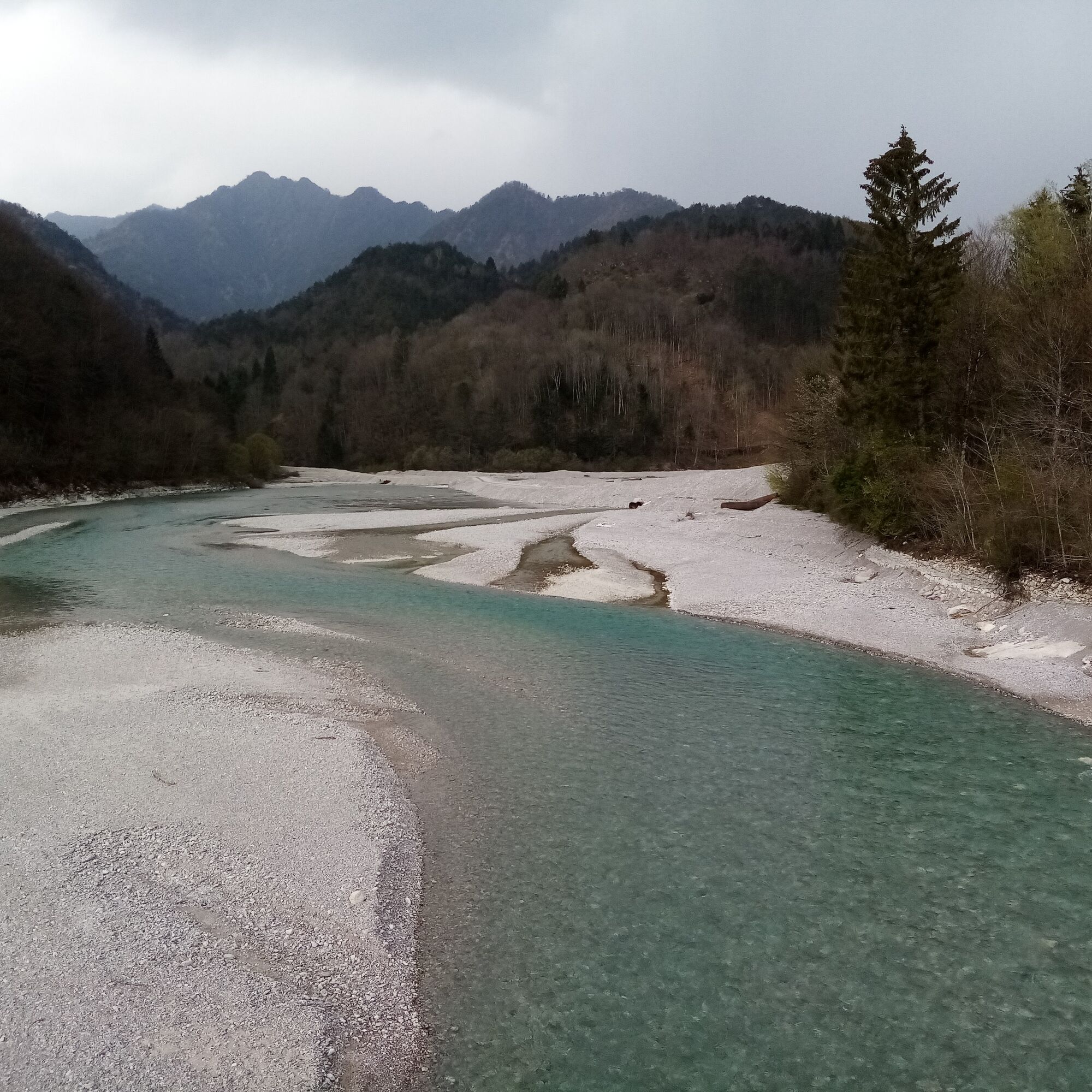
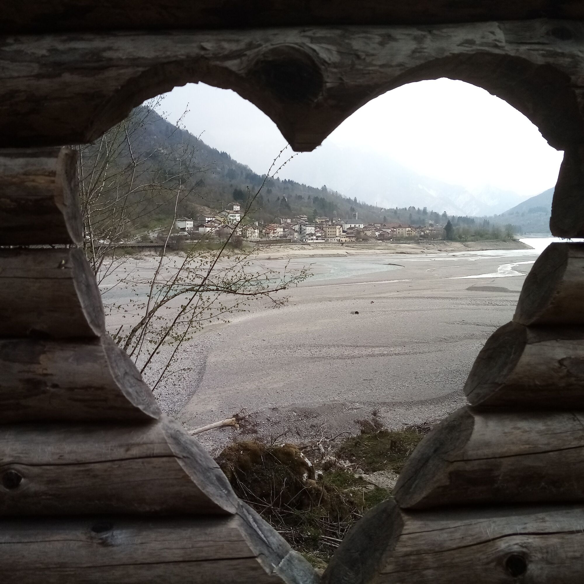
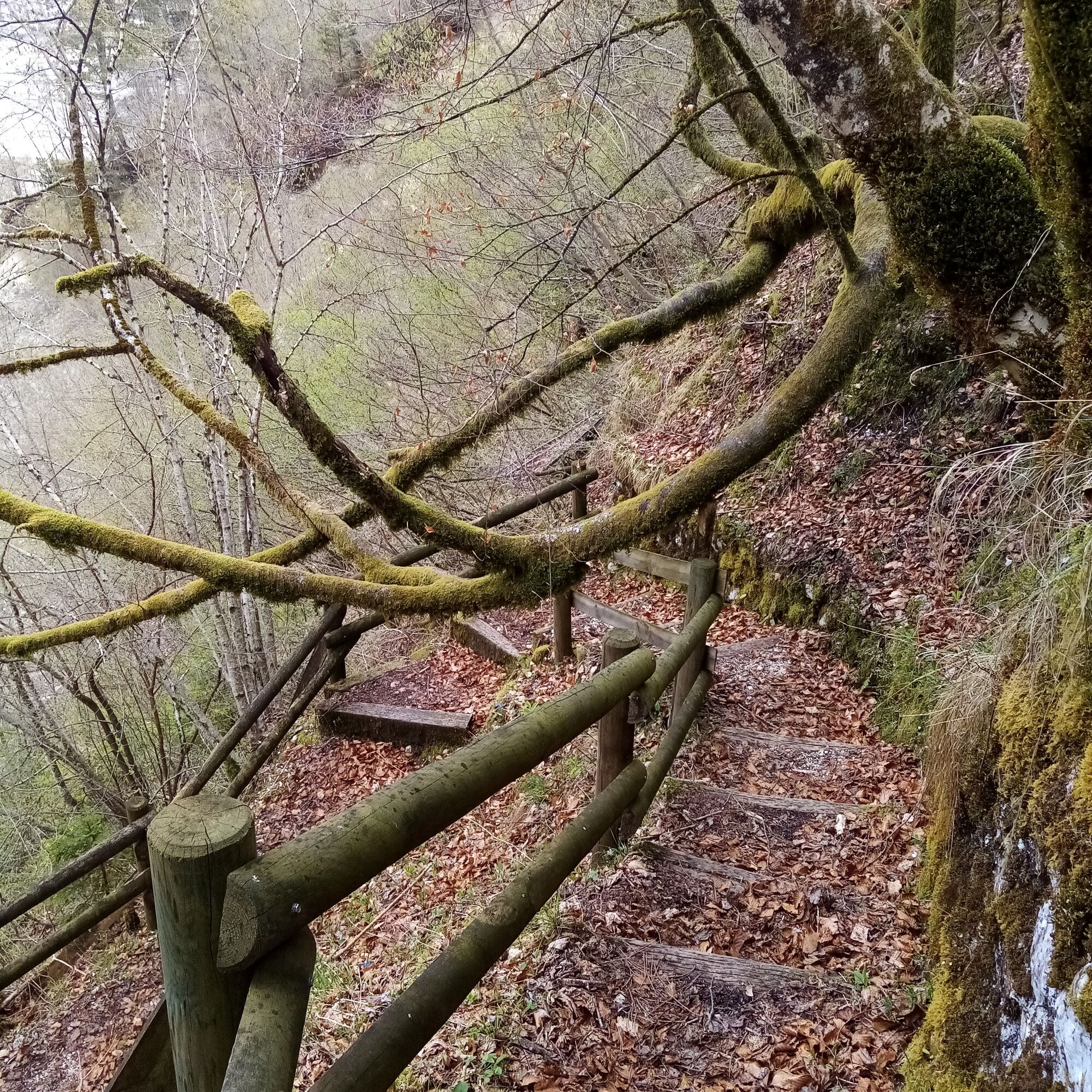
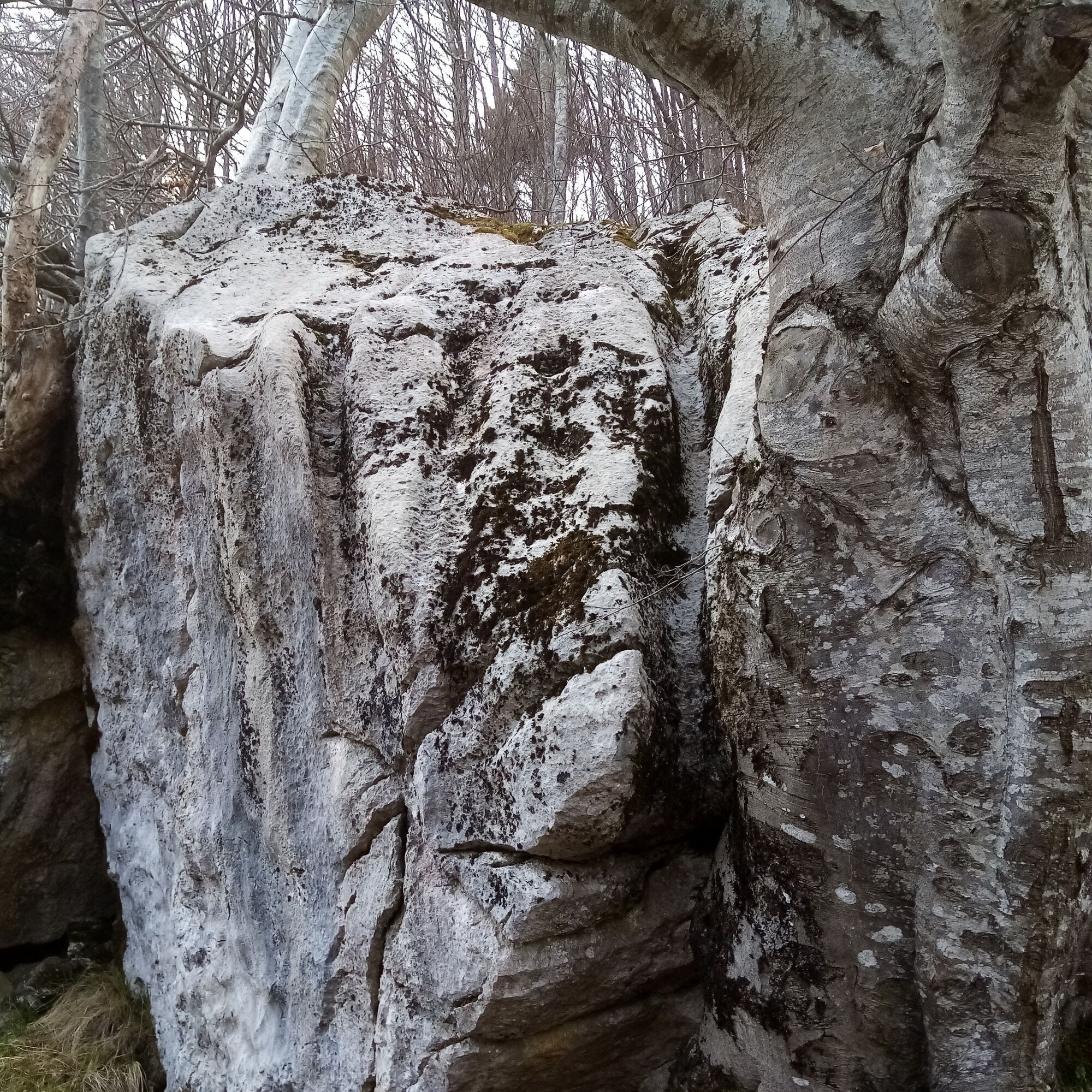
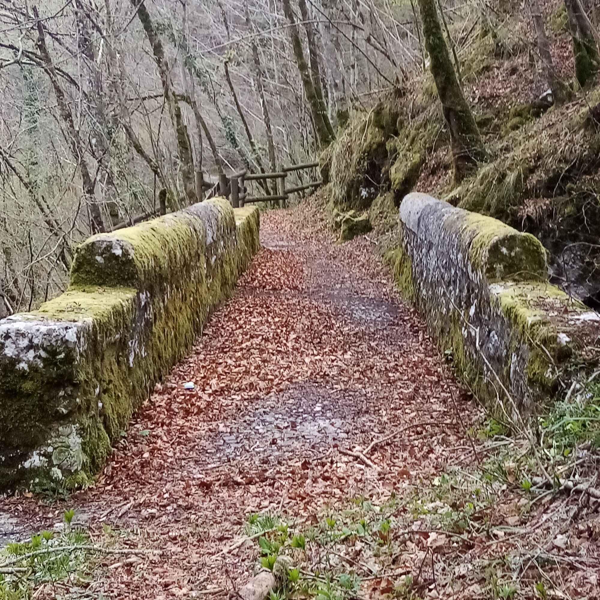
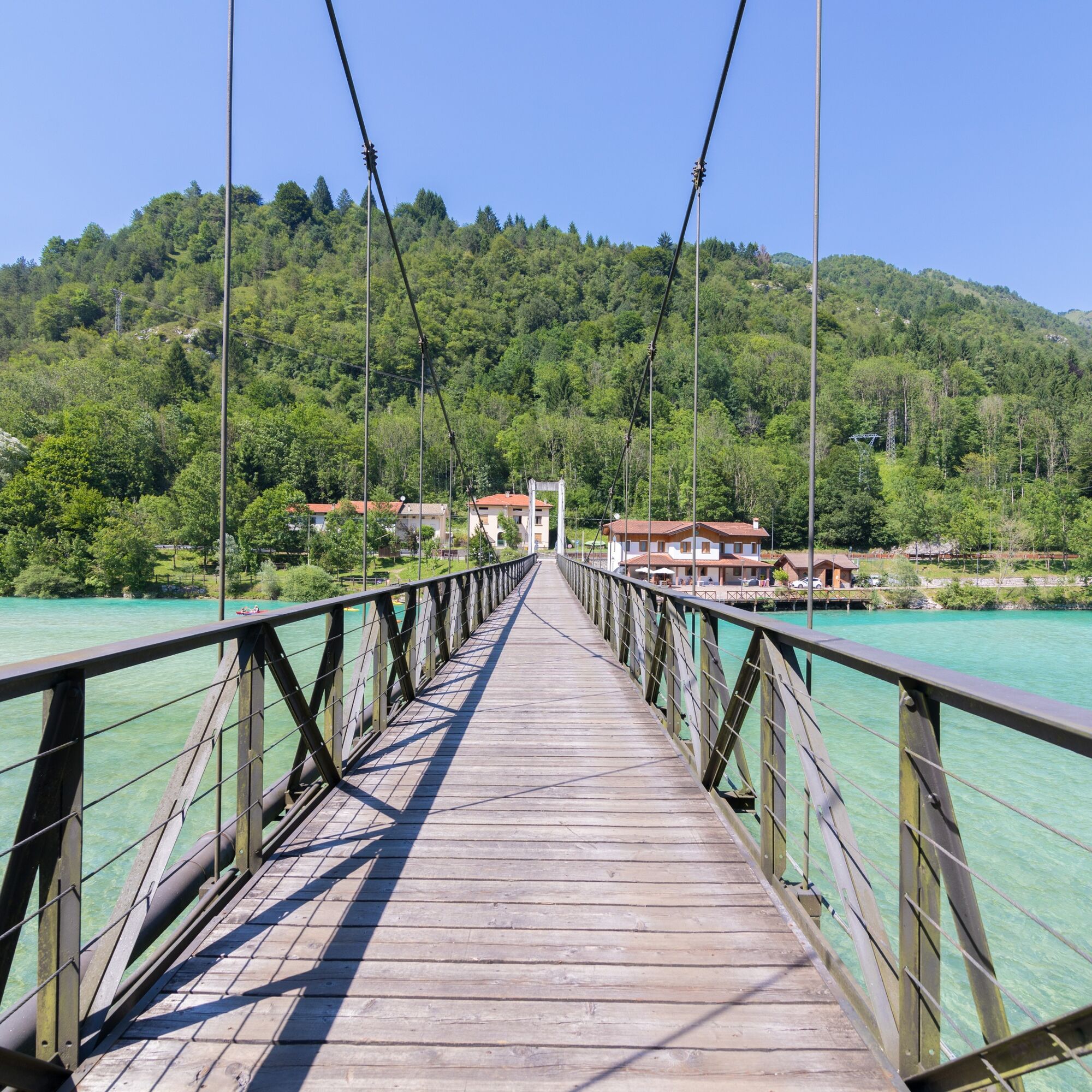
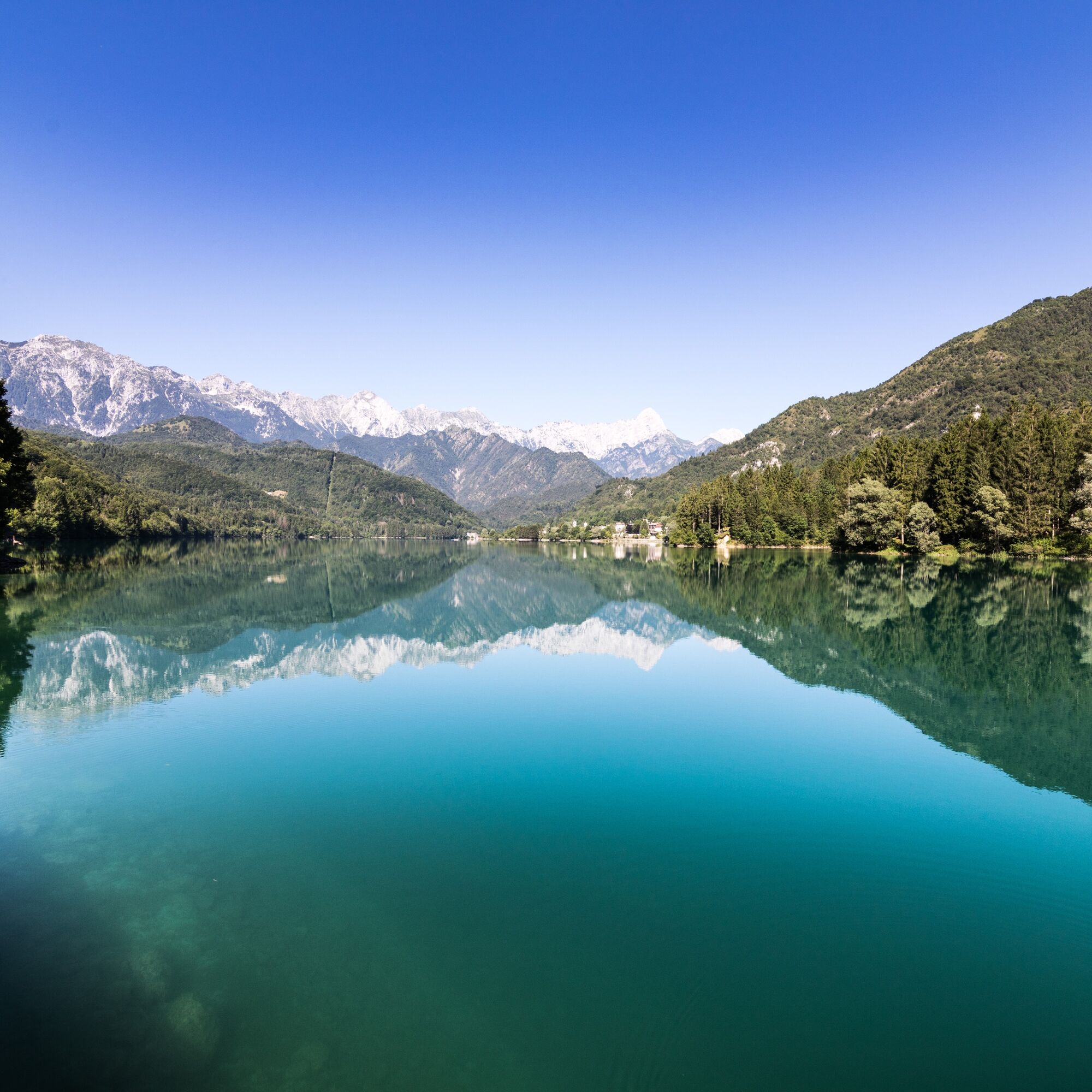
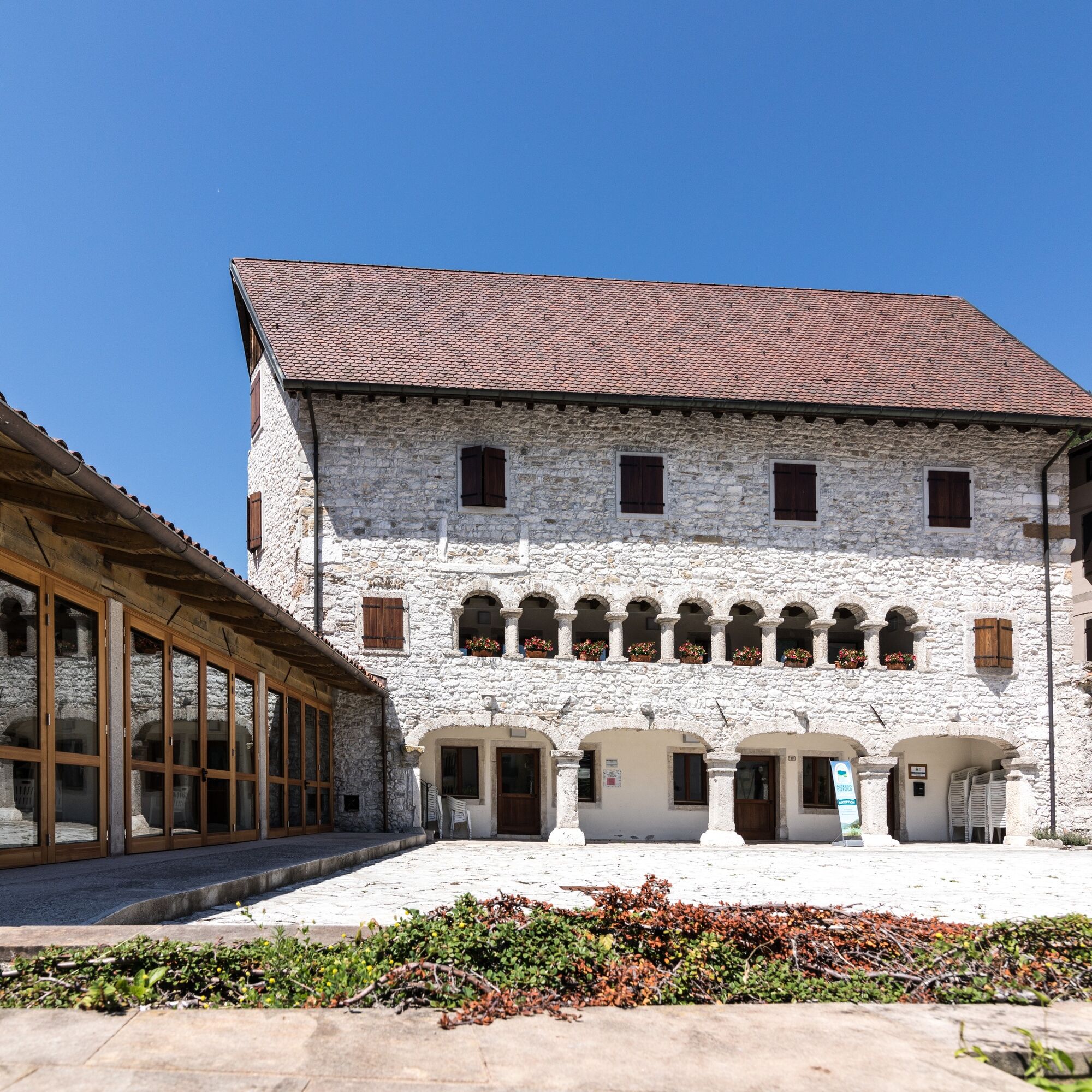
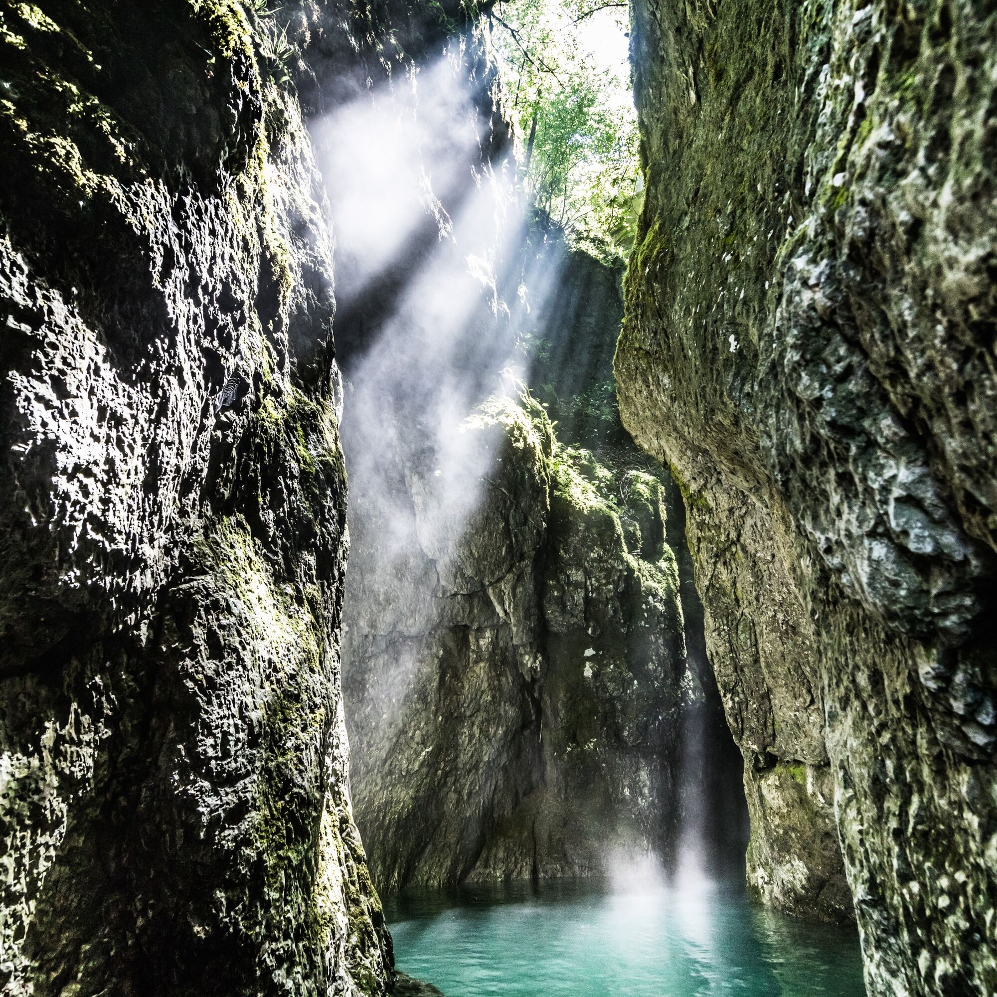
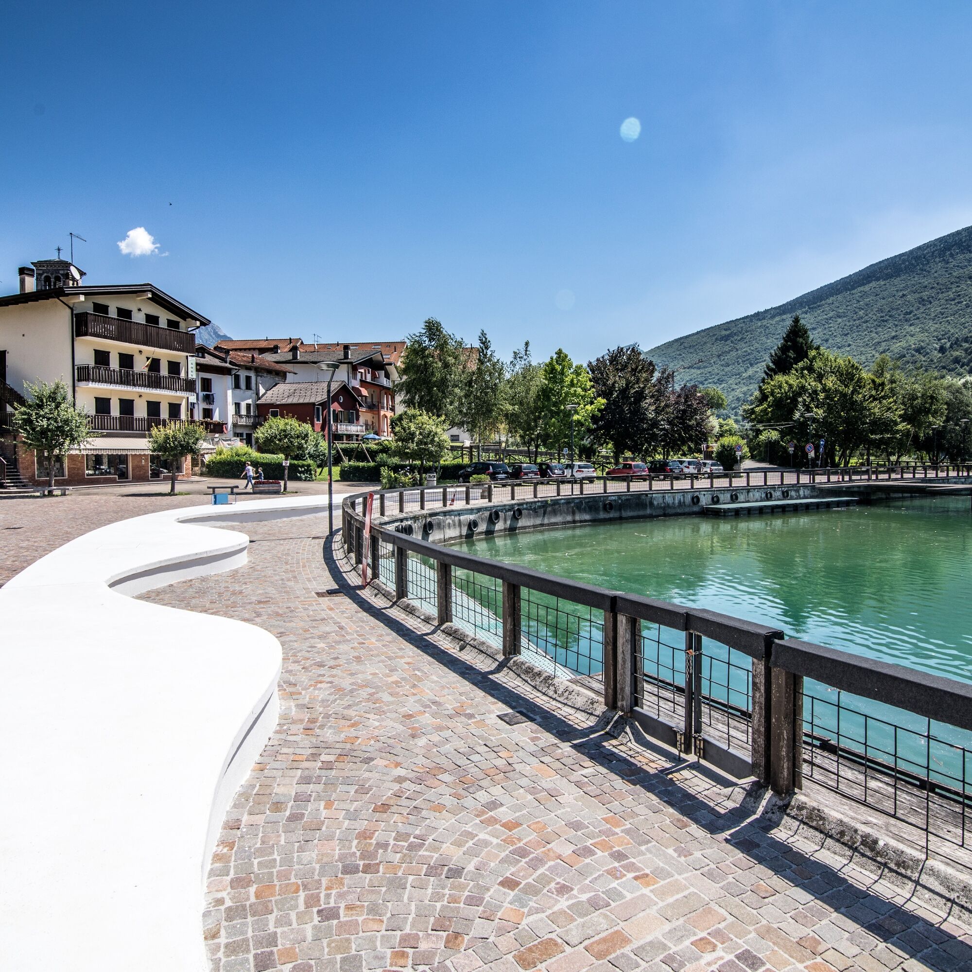
From the locality of Ponte Antoi, where the Information Point and the Visitor Center of the Forra del Cellina Nature Reserve are located, leave behind the entrance to the Vecchia Strada della Valcellina tunnel, decommissioned in 1992 and now reserved for cyclists and pedestrians, and proceed towards the embankment crossing the artificial lake of Barcis: the view is spectacular, the water, the woods, and the sky enchant visitors, immersing them in a unique nature. Upon reaching the town thanks to a comfortable cycle-pedestrian path studded with panoramic viewpoints and welcoming rest areas, a visit to the Village that was set on fire in reprisal by German troops in August 1944 is recommended. Beyond the Village, shortly after you reach the footbridge in the locality called “Fontane”, cross it and go to the opposite shore of the lake. From here, follow part of the road and a characteristic section of the Alpini Trail, where, from an ancient stone bridge, it is possible to observe the bottom of the Forra of the Caltea stream. The route crosses meadows once used for haymaking and cultivation (locality Vallata), beech forests, and other broadleaf trees. A downhill road section then leads to the short tunnel that opens onto the crest of the dam that formed the artificial lake. After crossing the dam, in a short distance, return to the starting point at the locality of Ponte Antoi.


Áno
From hike
T1
https://app.parcodolomitifriulane.it/itinerari/semplici-per-tutti/anello-del-lago-di-barcis/
Obľúbené výlety v okolí
-
4,0
Palantina, Colombera, and Tremol - 3 peaks above Piancavallo
ťažkéTuristika 8,70 km -
4,0
Dint Trail
strednáTuristika 4,34 km -
4,0
Monte Resettum
ťažkéTuristika 15,0 km -
3,5
Pala d'Altei da Grizzo
svetloTuristika 11,5 km -
5,0
Raut da Palabarzana
strednáTuristika 9,72 km -
5,0
Výstup na Giro d'Italia Aviano - Piancavallo (P002)
ťažkéCestný bicykel 13,9 km -
Malghe di Collalto loop
strednáTuristika 8,67 km -
Circular route of Casera Valle Friz and Arneri Refuge among karst dolines and splendid blossoms
strednáTuristika 11,7 km -
Sentiero dei Forestali in Val Silisia, Lake Cà Selva
strednáTuristika 10,8 km -
Col dei Piais, San Gualberto Crest Path and new Truoi de Thep
strednáTuristika 12,4 km
Turistika a stopovanie


Nenechajte si ujsť ponuky a inšpiráciu na ďalšiu dovolenku
Vaša e-mailová adresa bol pridaný do poštového zoznamu.