







Etappe 25: Alpina Antica Trail | ET25: Zuglio - Cesclans
Úroveň náročnosti: T2
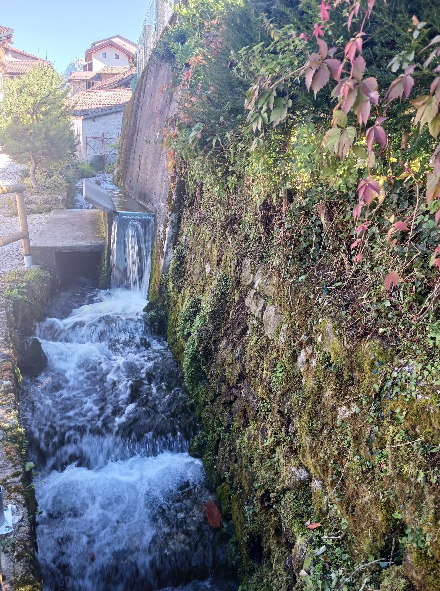
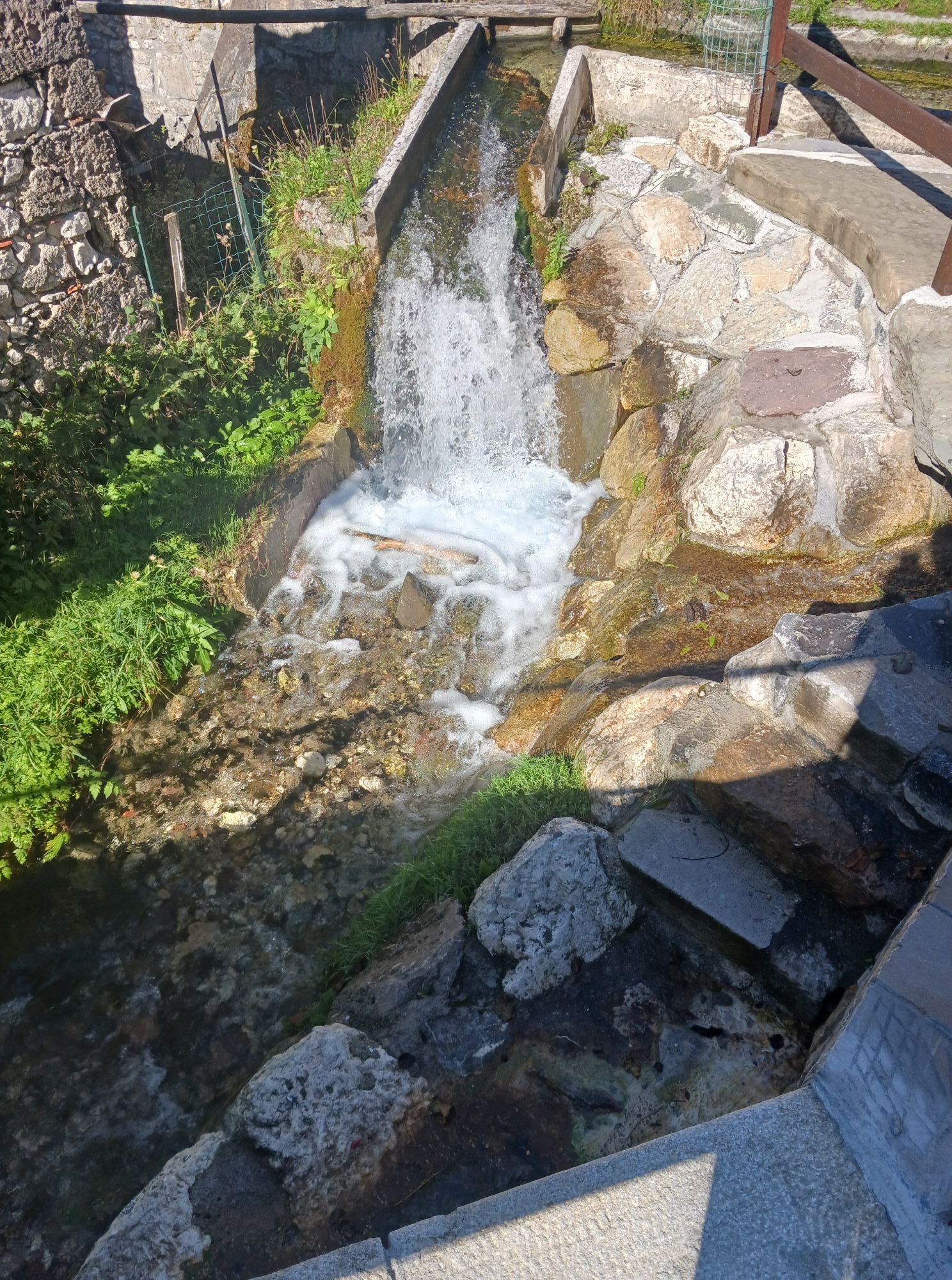
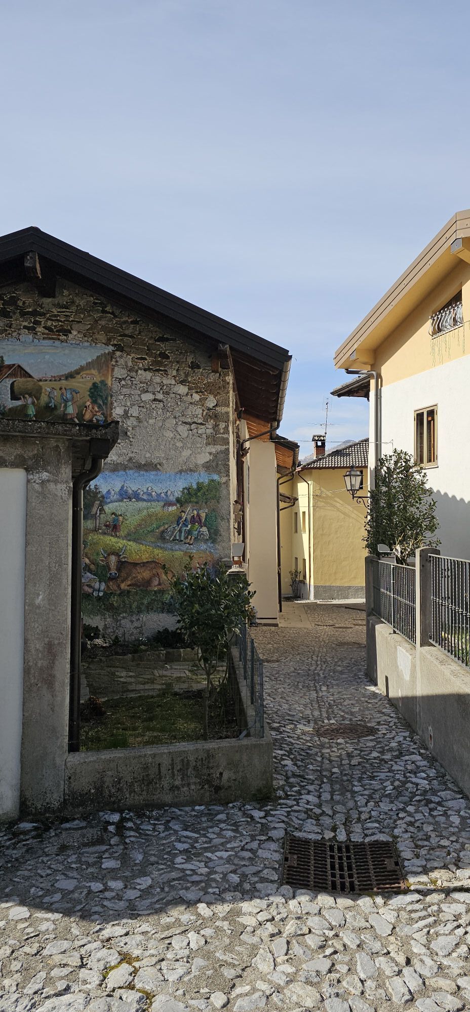
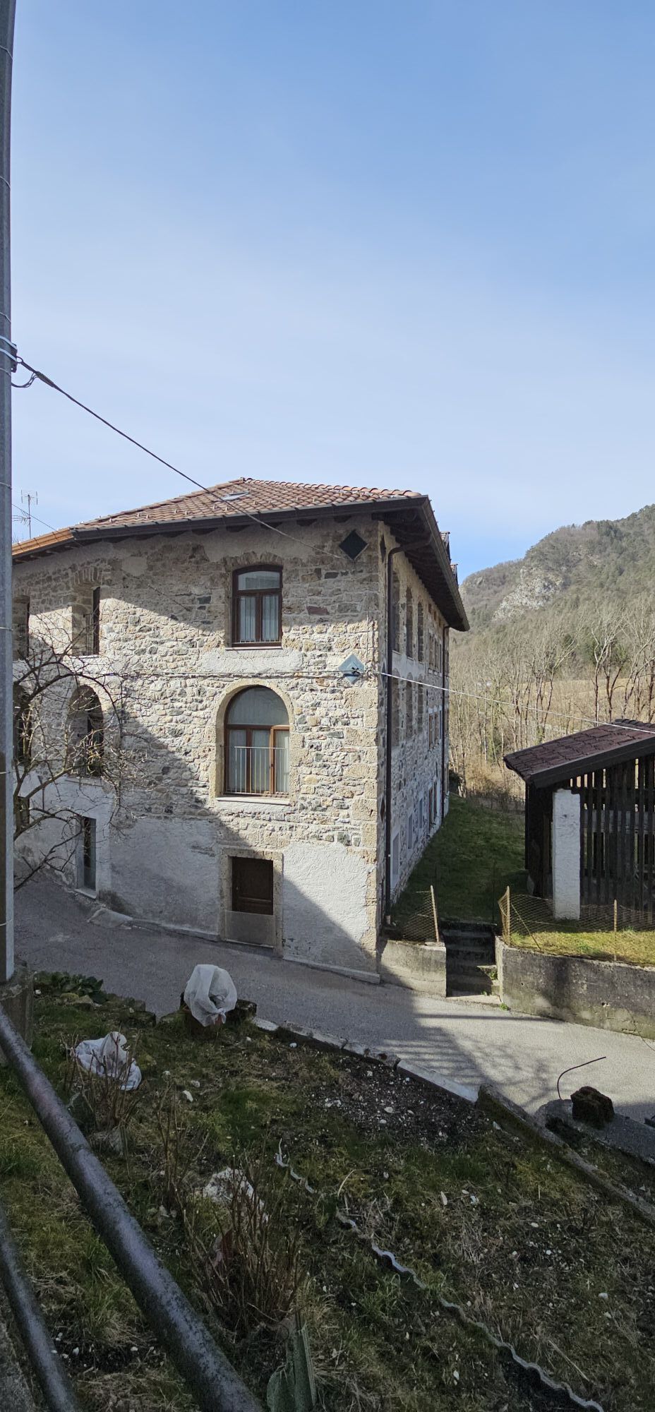
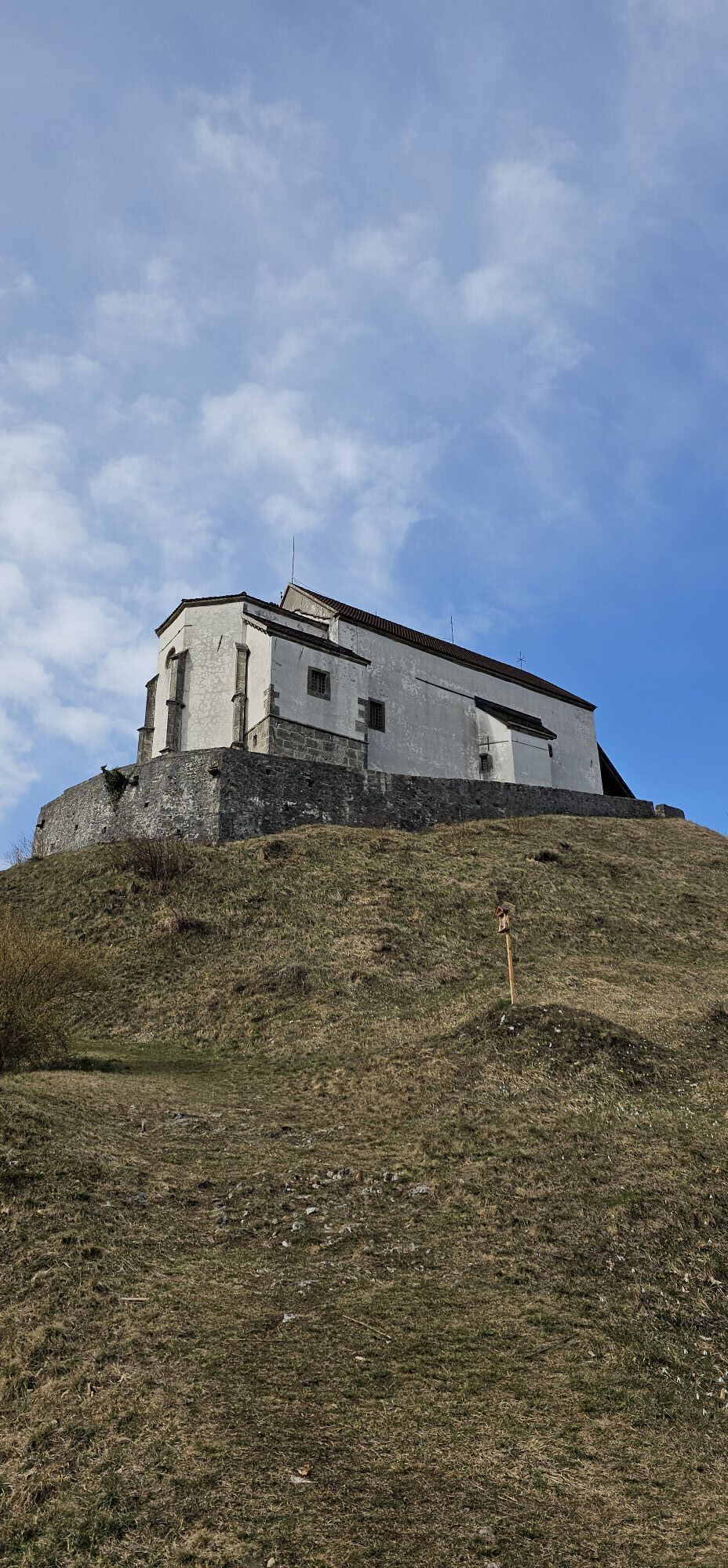
The richness of culture: a church high above the valley, a lovely ancient village in a hidden side valley and the historical regional capital Tolmezzo
In the first few metres of this stage, you will see...
In the first few metres of this stage, you will see that the valley and the passage over the Passo Monte Croce Carnico have always been an important lifeline and transport route. From Imponzo, however, you swing through beautiful forests up to the fantastically situated Pieve di San Floriano church, which sits like an eagle's nest above the valley of the River But - great views included. The route continues through a quiet side valley to the picturesque mountain village of Illegio and on to Tolmezzo, the regional capital of the region with its historic old town. The route continues along easy trails to Cesclans, a small Friulian village.

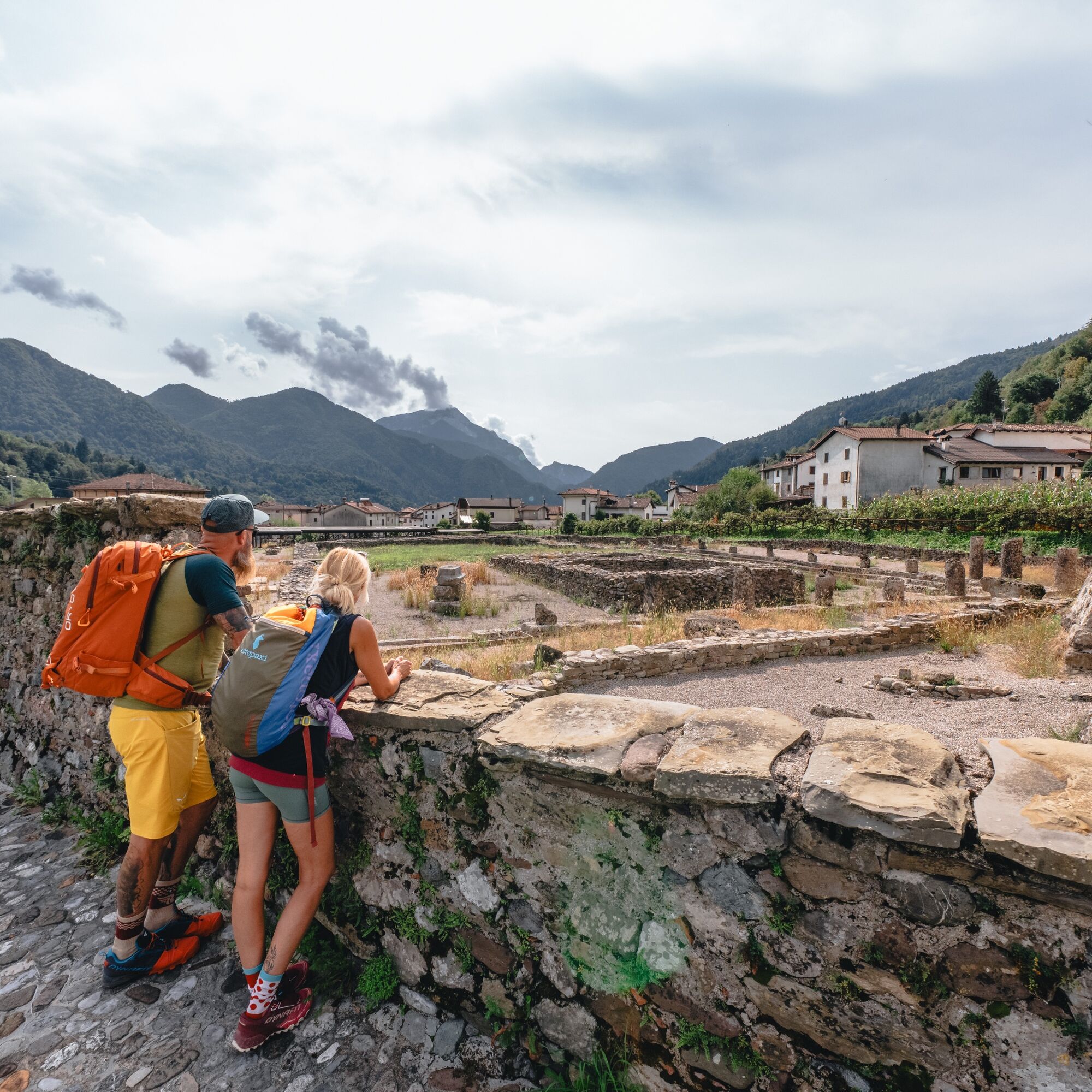

You continue straight onto Via il Giugno and reach the state road SS52bis again. After crossing the road, turn into Via Campo Sportivo on the opposite side and follow it through a left-hand bend and from now on along a gravelled road parallel to the river But until it rejoins the SS52bis after 800 metres. Cross it again and walk along the opposite Via Albino Candoni for 240 metres through the hamlet of Imponzo.
Now turn right, crossing the Rio Mignezza stream. Continue first along via Albino Candoni and then turn right into via Monte Piana. After 100 metres you turn right into via Latteria, which you follow for about another 100 metres. Turn left (via Luigi Gortani) in the direction of the church of San Bartolomeo: before you reach that church you pass the church Cjase Emmaus by an old path and right right into the small road behind the church. From here onwards you will begin to find the signs for the Cammino delle Pievi.
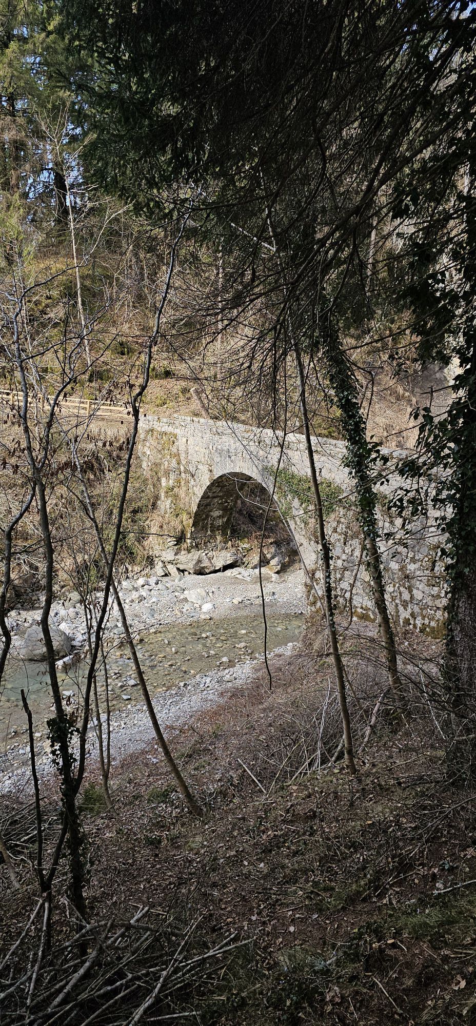
Behind the church of San Bartolomeo you turn left into a hiking path and follow the signposts of the Cammino delle Pievi (Way of the Parishes), climb up the path to the parish church of San Floriano. Once on the crest of the hill to the right, the view opens out to the rear of the pieve, which is reached by passing through an access in the walls. The path then continues in the direction of Illegio, crossing woods and meadows. Continuing on we come to a bridge, crossed by which we reach the village of Illegio. Pass the cemetery and climb up to the centre until reaching the church of the parish of San Floriano Martire. At the church proceed straight along via Beorchia, then turn left up via San Marco, after a few dozen metres there is a mill that can be visited. After the mill, continue uphill on the right along Via Damarie until it joins Via Corso. Now turn left for a few metres and then immediately take a sharp right onto the small road. It soon narrows into a wide dirt track that continues southwards at a constant altitude. After about 600 metres, a hiking trail branches off slightly to the left, which takes you further south at the same altitude (keep to the uppermost of the paths that branch off and run parallel, even if all these paths later converge again). After another 600 metres, you will come to the marked trail 461, which you follow sharply to the right down to the Tolmezzo-Illegio road.
Turn left a few metres along the road and then immediately turn right onto the small dirt road leading slightly uphill, which you follow for about 1.3 km (don´t forget to choose the left cart road at the only crossroads at that section), after which the route rejoins the main road via Illegio. The route continues on the right, descending into the valley in the direction of Tolmezzo. Approaching the town of Tolmezzo, take via Betania on the right and continue for about 1.5 km. Then turn left onto via Gemona and after a few metres turn right onto via Marchi Giuseppe towards the centre of Tolmezzo. Proceeding along via Marchi Giuseppe, which after about 300 metres turns left near a wide crossroads/Piazzale. It soon changes its name to Via Gio Batta di Marchi and you follow the direction of 'Austria'. The street is then named via Aldo Moro, go straight until its end. Here you turn left into via Val di Gorto. After about 500 metres on pavement and a cycle/pedestrian path, the street joins the main road. It is advisable to cross and pay close attention to proceed uphill towards the bridge, following the left side of the road in order to advance in the opposite direction to the direction of the cars and be better visible. Then cross the long bridge over the ring road and the Tagliamento river, leaving Tolmezzo behind and proceeding towards Verzegnis and Cavazzo Carnico. After crossing the bridge over the Tagliamento, keep to the left and proceed in the direction of Cavazzo, Gemona, Udine and after a few metres, at the height of the Regional Forestry Nursery, follow the cycle track on the left-hand side of the main regional road 512. Follow the cycle path for about 3.5 km until it connects once again with the main road (SR512). Keep left at the crossroads and enter the village of Cavazzo Carnico following via Roma. At the crossroads with via Monte Grappa, keep right and follow the street for about 1.3 km. You will then arrive at the junction with the sign for Cesclans. Turn left, cross two bridges and proceed on a steep climb followed by a descent. Following the road after about 1.5 km, you reach the center of the hamlet Cesclans.
T2
Cesclans: Der Stempel befindet sich in der Pieve di Santo Stefano (46°21'04.1"N 13°03'43.1"E)
The history of the muleteers and Cramars is also documented in the well-known Museum of Folk Life in Tolmezzo.
Obľúbené výlety v okolí
-
4,3
Monte Festa, a mountain rich in history
strednáTuristika 13,5 km -
3,5
10 thousand health steps FVG -CAVAZZO CARNICO AND BORDANO
svetloTuristika 8,68 km -
4,8
Monte Flop loop from Val Aupa
strednáTuristika 13,5 km -
4,8
Monte Cuar loop
strednáTuristika 7,26 km -
4,7
Loop of Val Venzonassa
strednáTuristika 9,74 km -
Prehľad vrchol hory Tersadia
strednáTuristika 13,1 km -
5,0
Moggio Udine
strednáTuristika 10,8 km -
4,4
Brancot, Palantarins e Tre Corni da Braulins
strednáTuristika 8 km -
FVG3 Cyklotrasa Pedemontana (C300)
ťažkéDiaľková cyklotrasa 182,0 km -
5,0
Villa Santina: La Farina del Diavolo (C)
strednáVia ferrata 6,10 km
Turistika a stopovanie


Nenechajte si ujsť ponuky a inšpiráciu na ďalšiu dovolenku
Vaša e-mailová adresa bol pridaný do poštového zoznamu.





