







Etappe 27: Alpina Antica Trail | ET27: Venzone - Gemona
Úroveň náročnosti: T2


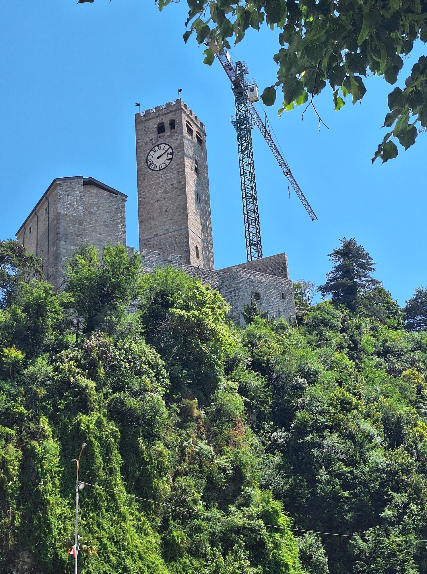
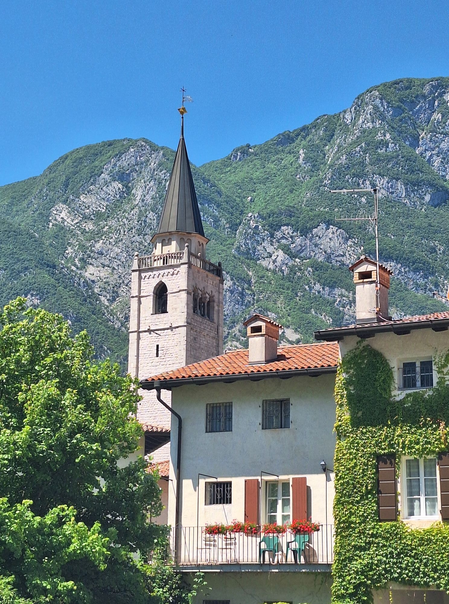
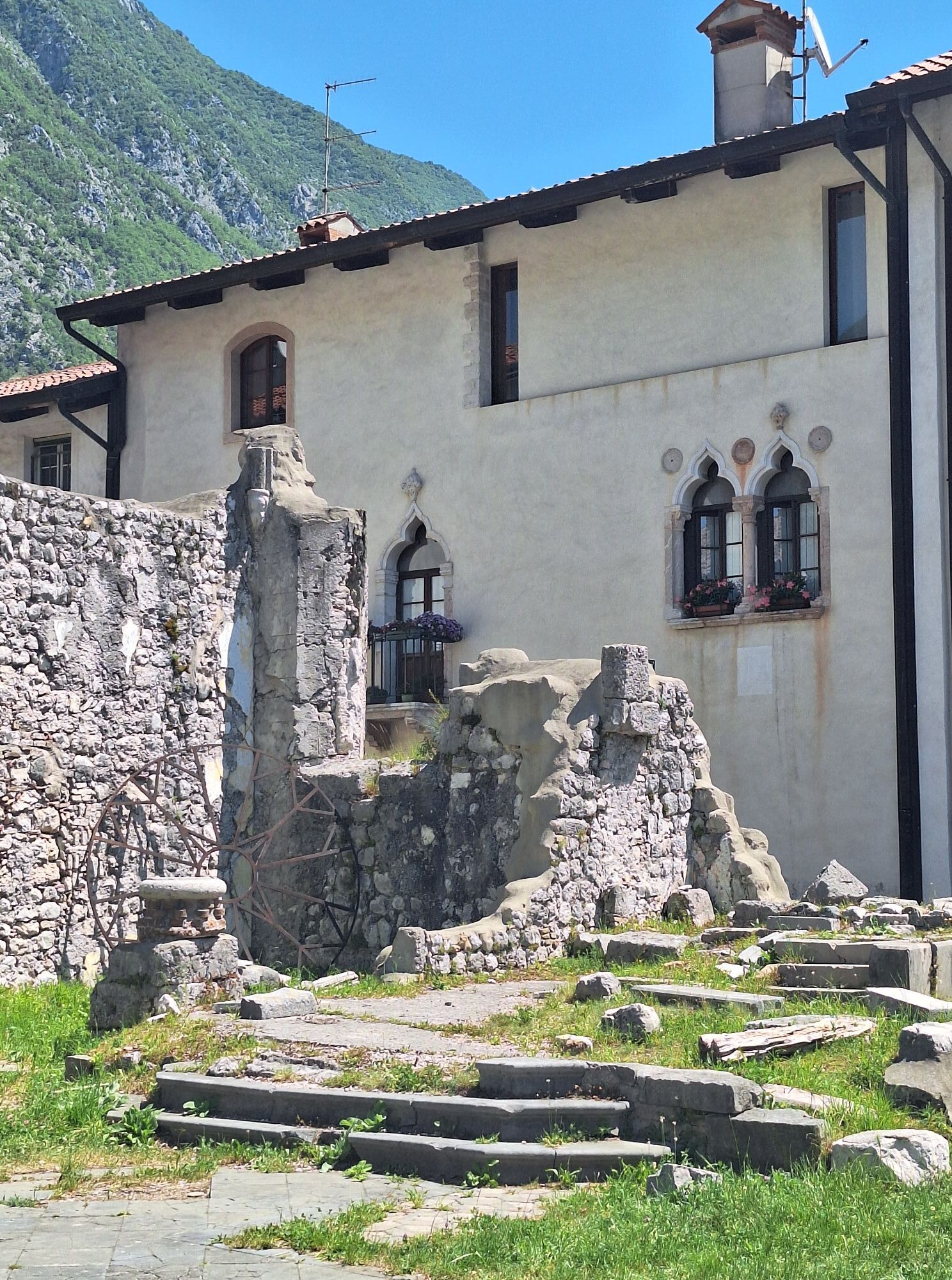
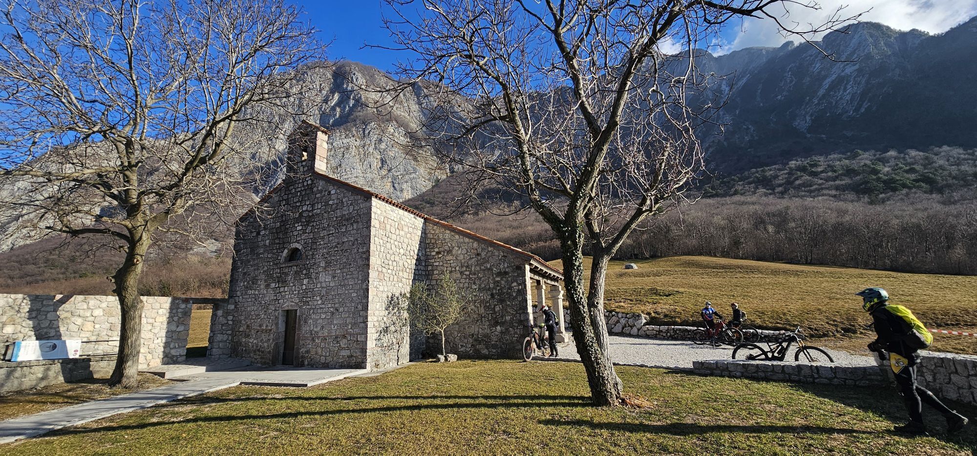
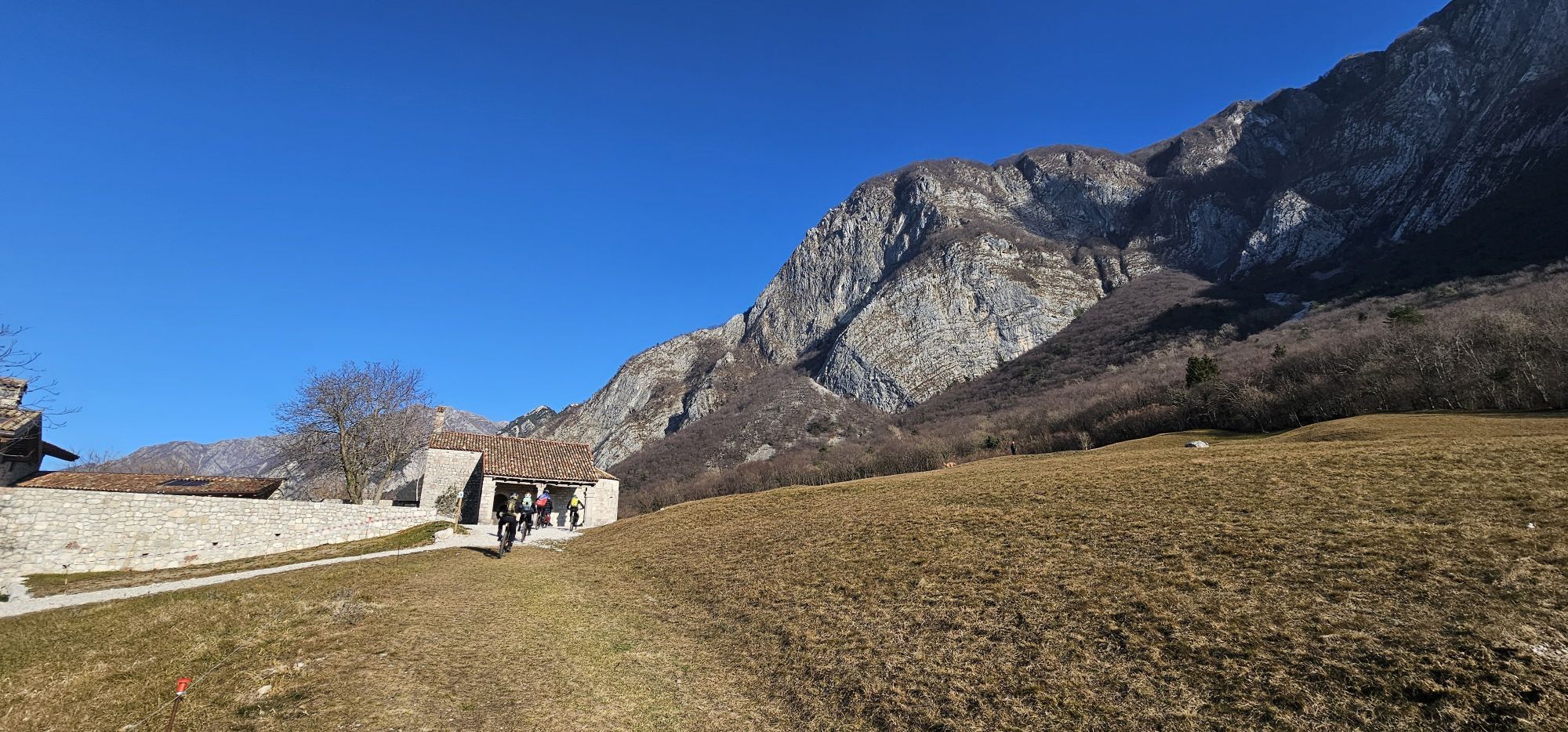
From cultural center to cultural center – and between Venzone and Gemona a nice little summit as a viewpoint over the south-eastern end of the Alps
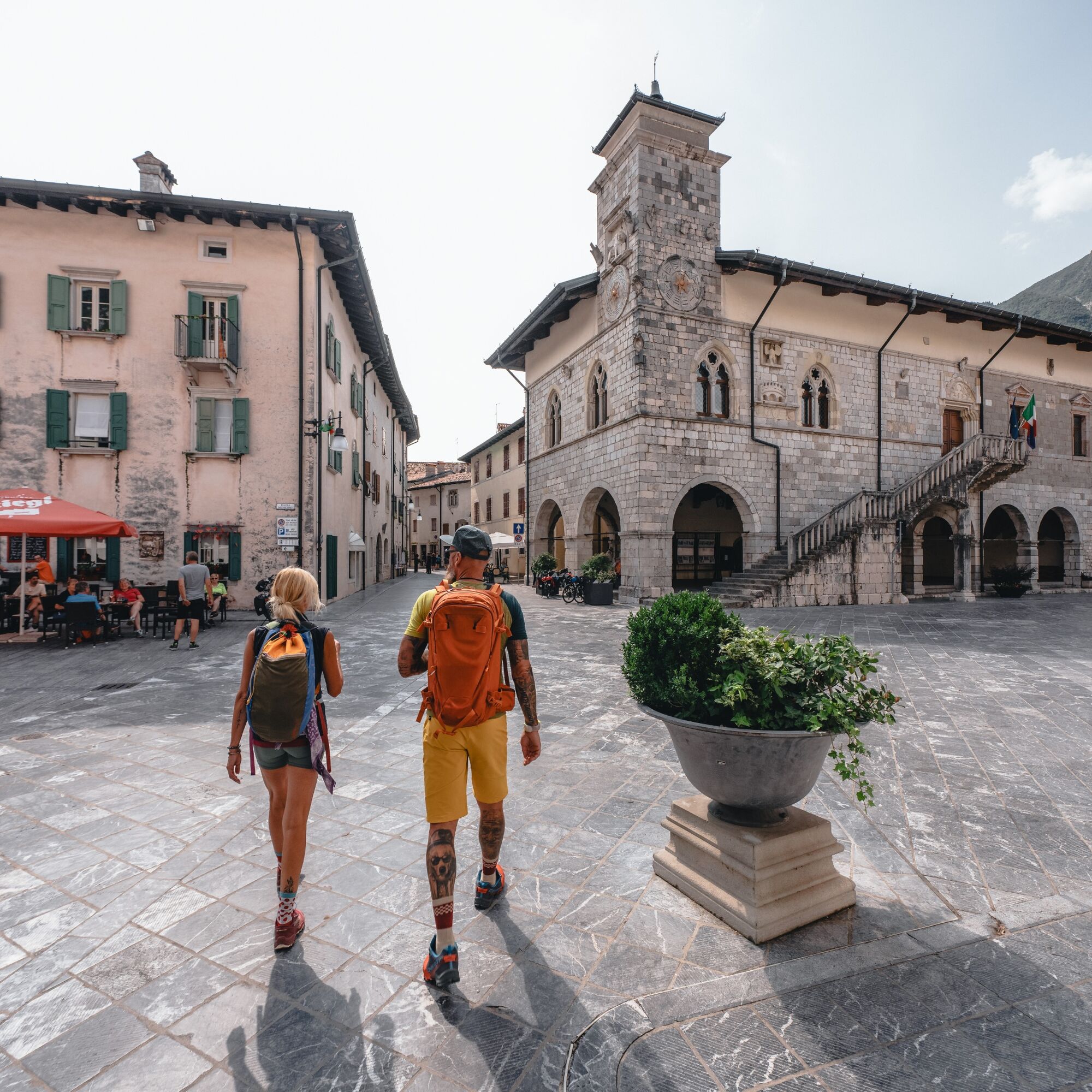
Venzone, a wonderful historic town at the start of the...
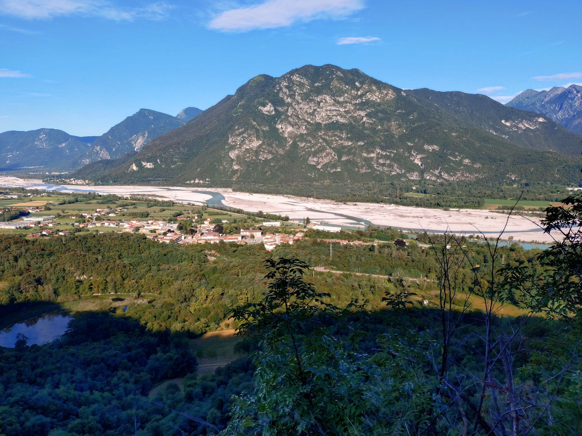
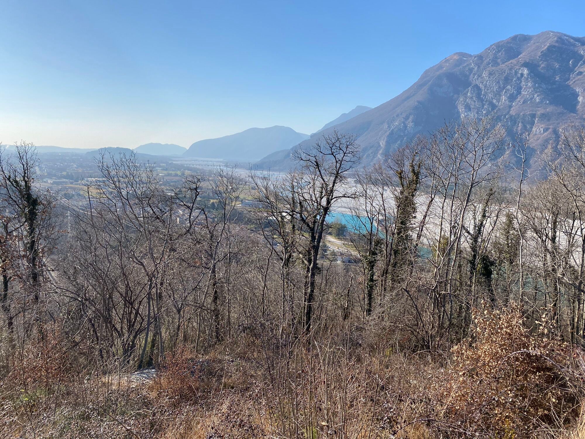
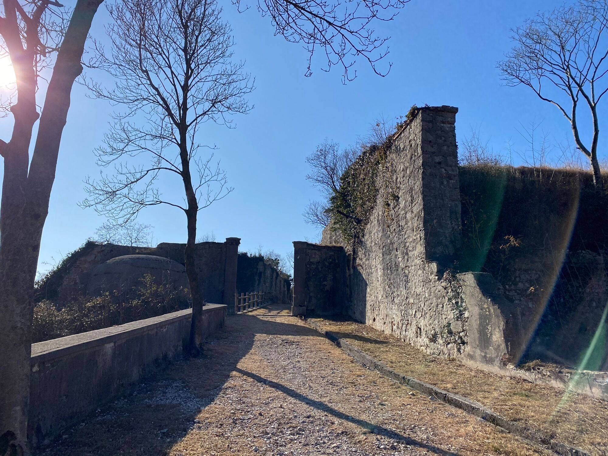
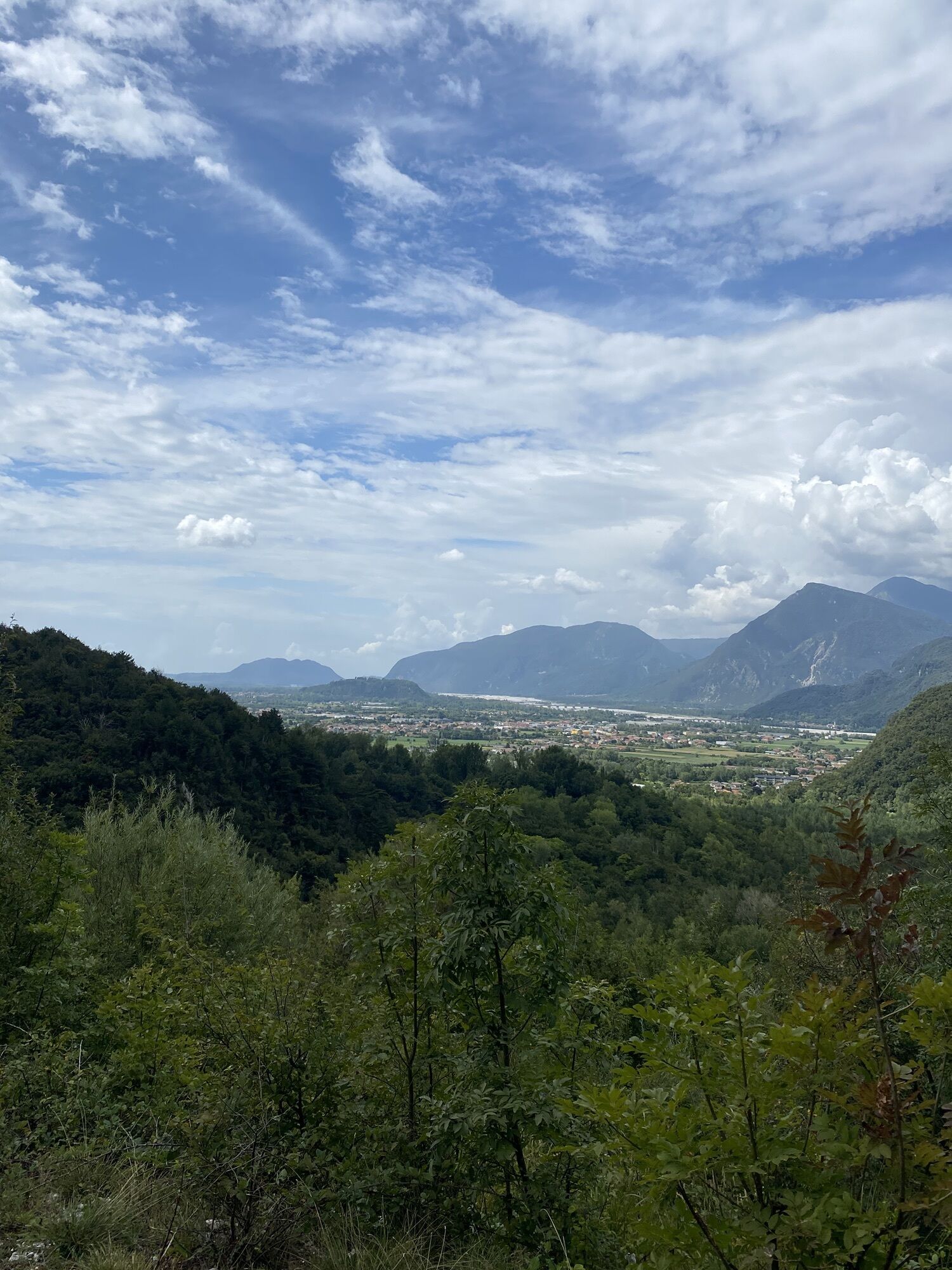
Venzone, a wonderful historic town at the start of the stage - but no less attractive is the end of the stage, namely Gemona del Friuli at the foot of Monte Chiampon on the south-eastern foothills of the Alps. A historic town with a wonderful historic centre invites you to stroll and explore. In between, you first walk along cycle paths along the valley, but then climb up again across the valley plain: old, partially paved roads lead you past fortresses from the First World War. The icing on the cake, however, is the crossing of the 571 meter high mini summit of Monte Cumieli, which offers wonderful views over the Tagliamento valley and the south-eastern foothills of the Alps.


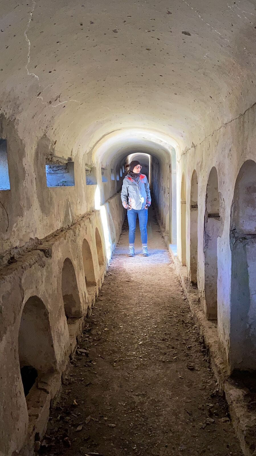
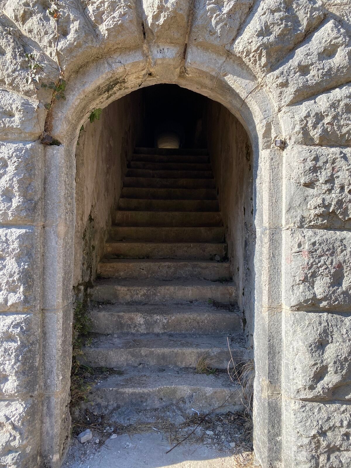
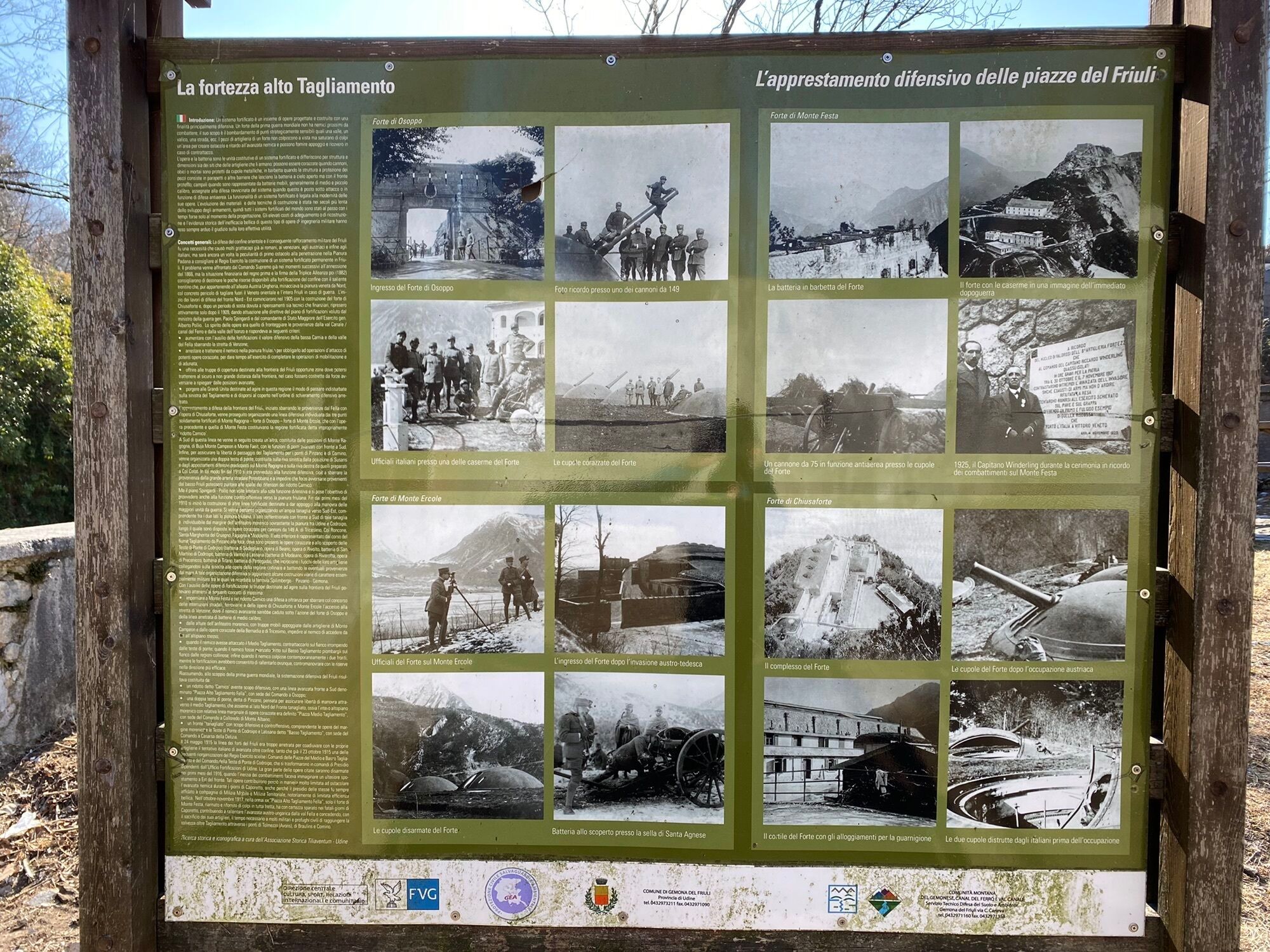
At the end of the cycle/pedestrian path in Ospedaletto, turn immediately left, passing under the railway in via del Lago. Continue uphill for about 400 metres along Via del Lago until you come to Via Monte Ercole, where you turn left. Continue straight on for about 2.8 kilometres past the ‘Forte di Monte Ercole’ open-air museum and further up the road until you reach a junction just below a small saddle. Here you take the smaller trail to the left (sign “punto panoramico Monte Cumieli”) and hike up in a couple of minutes to the small summit of Monte Cumieli with a breathtaking view towards Gemona and Tagliamento to the south and the mountains to the north.
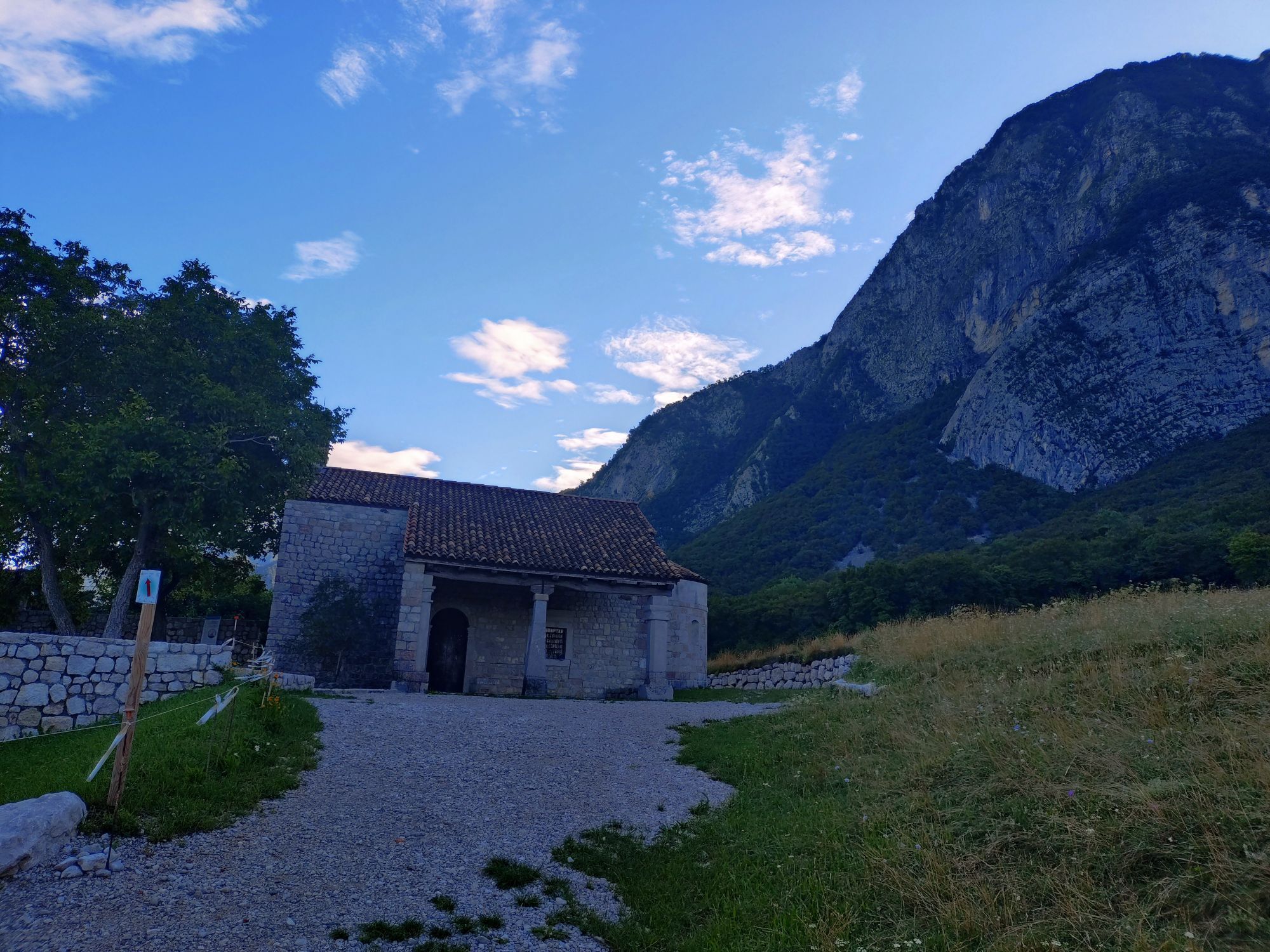
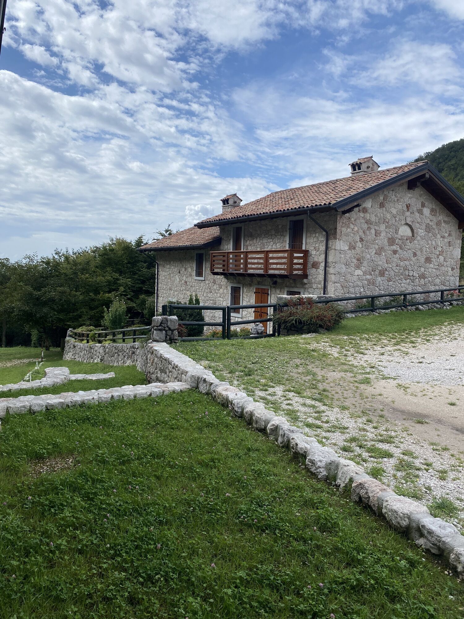
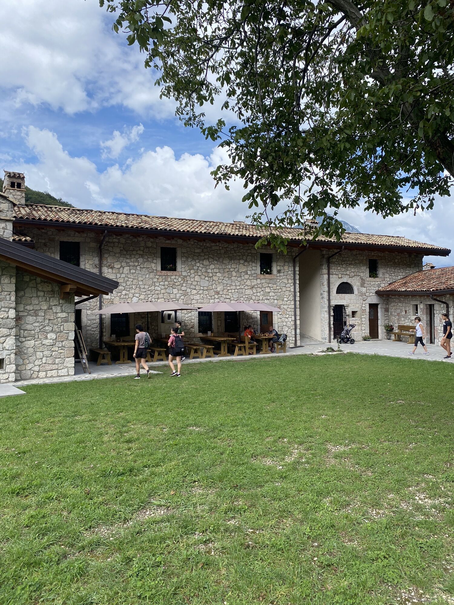
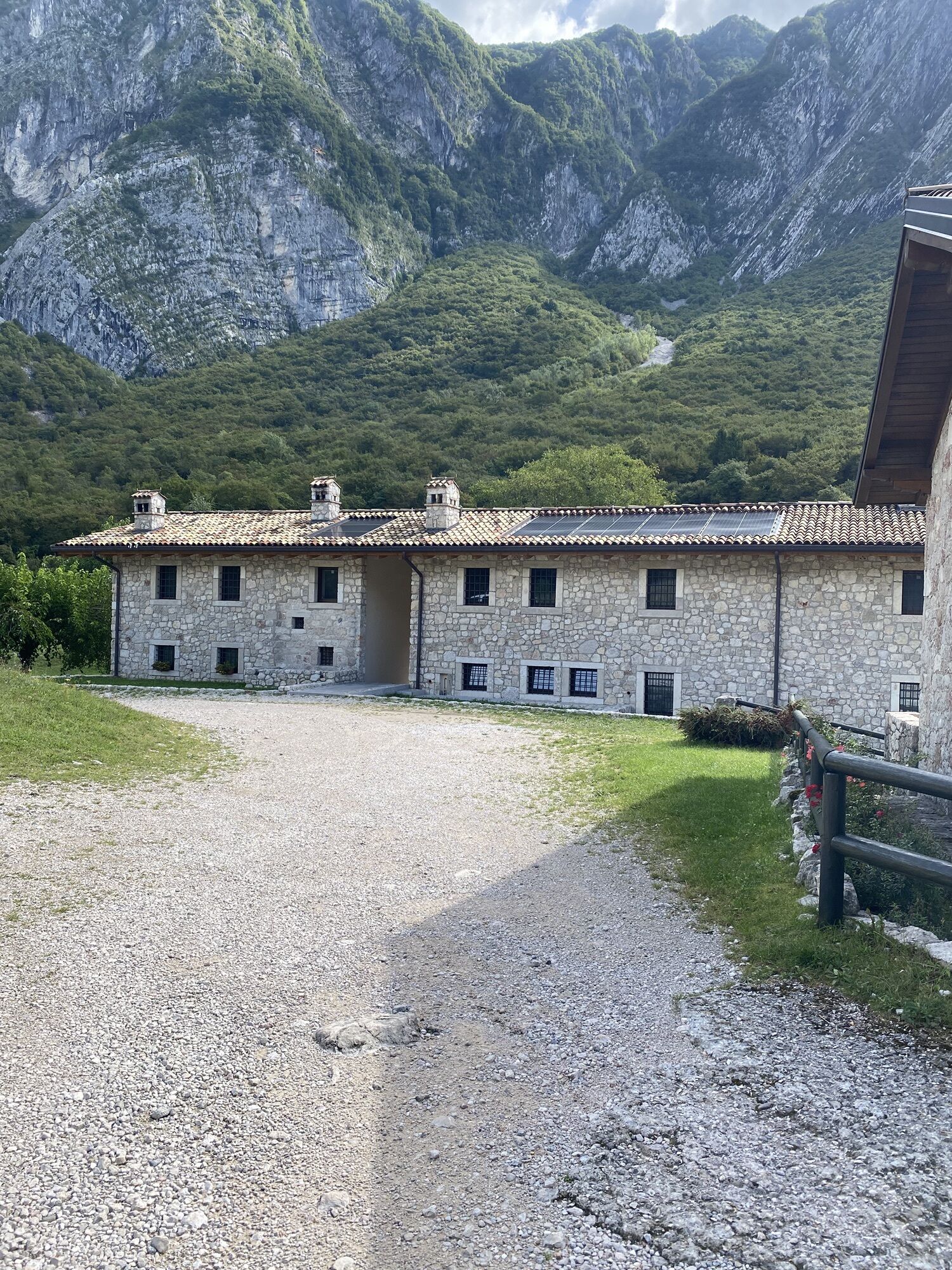
You cross the summit and descend the small path (take the right path at two junctions) until you reach the gravel road again. Here you turn left and descend a few minutes to Colle Sant'Agnese with some old houses. From here the road is asphalted at first, then becomes a dirt road. On reaching Colle Sant'Agnese and passing the little church, the dirt road (strada di Ledis) begins, which descends for a few hairpin bends, which a path allows you to avoid. The dirt road is always followed, following a nice, steady descent towards the village of Gleseutte, which can be reached after about 3 km. Here you take Via Gleseutte in the direction of the centre of Gemona. The road then takes the name Via Cappuccini to join the central Via Carlo Caneva, which leads to the historic center of Gemona.
T2
Obľúbené výlety v okolí
-
4,8
FVG1 Cyklotrasa Alpe Adria (C100)
strednáDiaľková cyklotrasa 179,3 km -
4,7
Tarvisio - Gorizia: z hôr do viníc (CX01)
strednáDiaľková cyklotrasa 155,8 km -
4,3
Monte Festa, a mountain rich in history
strednáTuristika 13,5 km -
3,5
10 thousand health steps FVG -CAVAZZO CARNICO AND BORDANO
svetloTuristika 8,68 km -
4,8
Monte Cuar loop
strednáTuristika 7,26 km -
4,7
Loop of Val Venzonassa
strednáTuristika 9,74 km -
5,0
Venzone - Udine (C102)
strednáDiaľková cyklotrasa 56,7 km -
5,0
Monte Stella, medzi malými dedinkami a širokými výhľadmi
svetloTuristika 9,18 km -
4,0
Hora Cuarnan
svetloTuristika 4,81 km -
5,0
Moggio Udine
strednáTuristika 10,8 km
Turistika a stopovanie


Nenechajte si ujsť ponuky a inšpiráciu na ďalšiu dovolenku
Vaša e-mailová adresa bol pridaný do poštového zoznamu.





