







From Sella Zoncolan to Malga Meleit

Úroveň náročnosti: T1
Start from the Sella Zoncolan parking lot and follow the paved road downhill, which leads to the Tamai Mountain Hut in about ten minutes. From here, continue along the dirt road on the left, which continues...
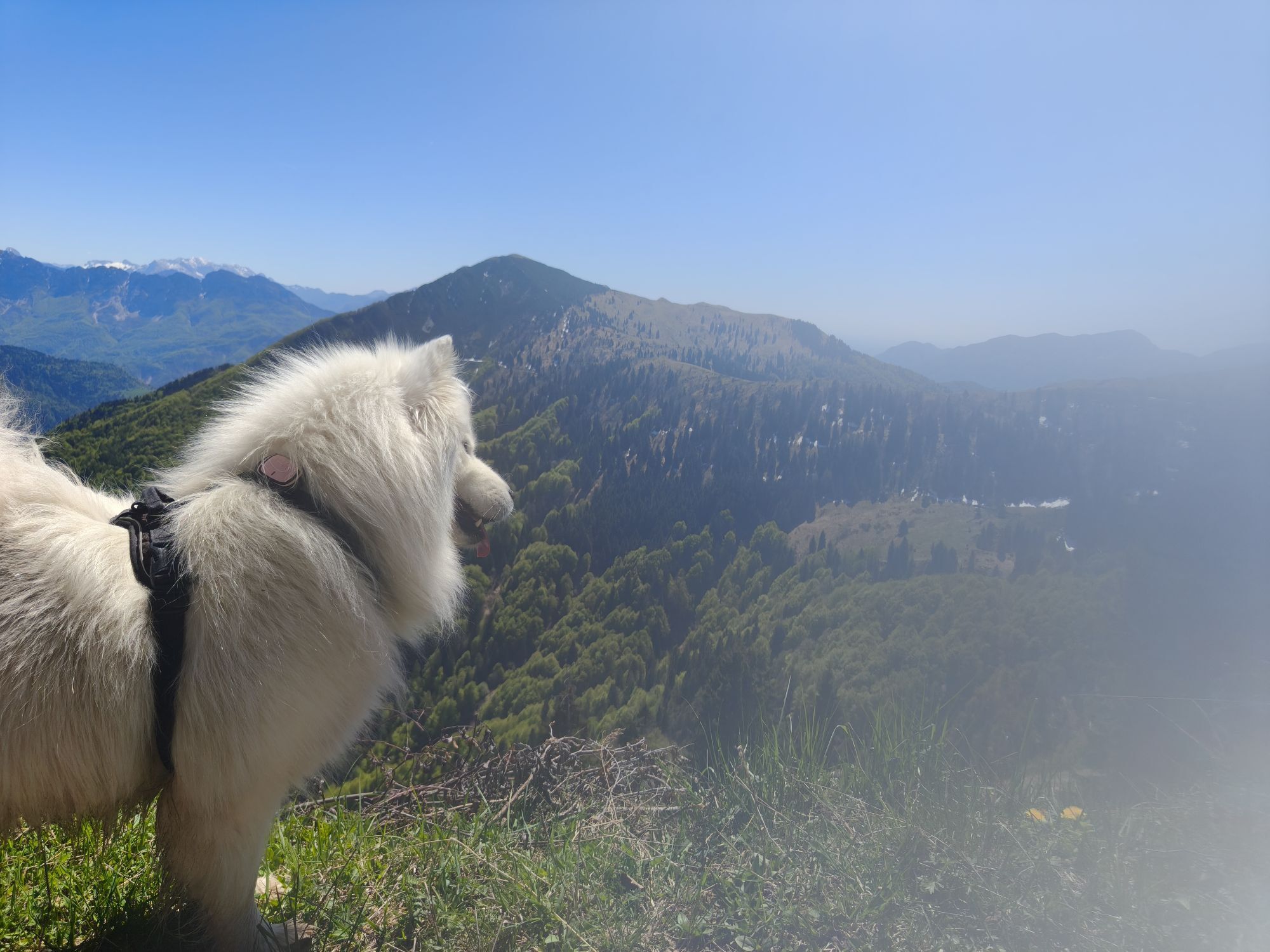
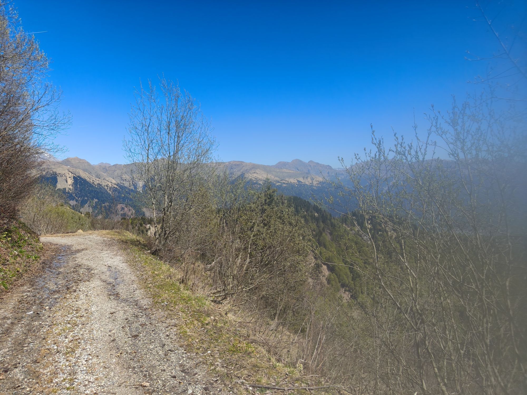
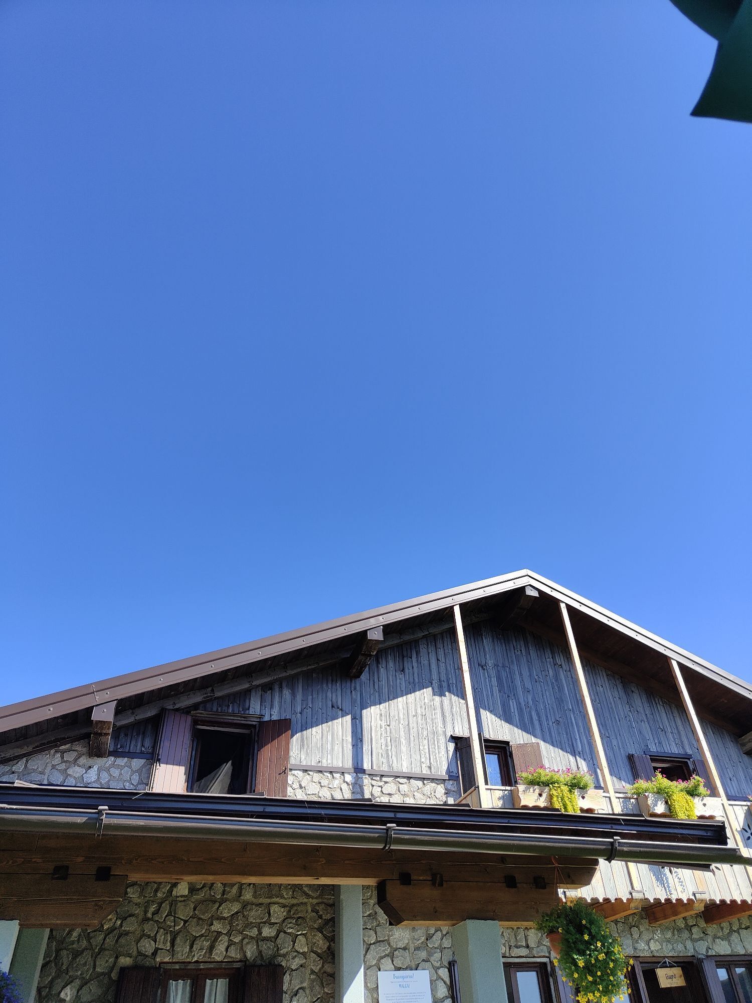
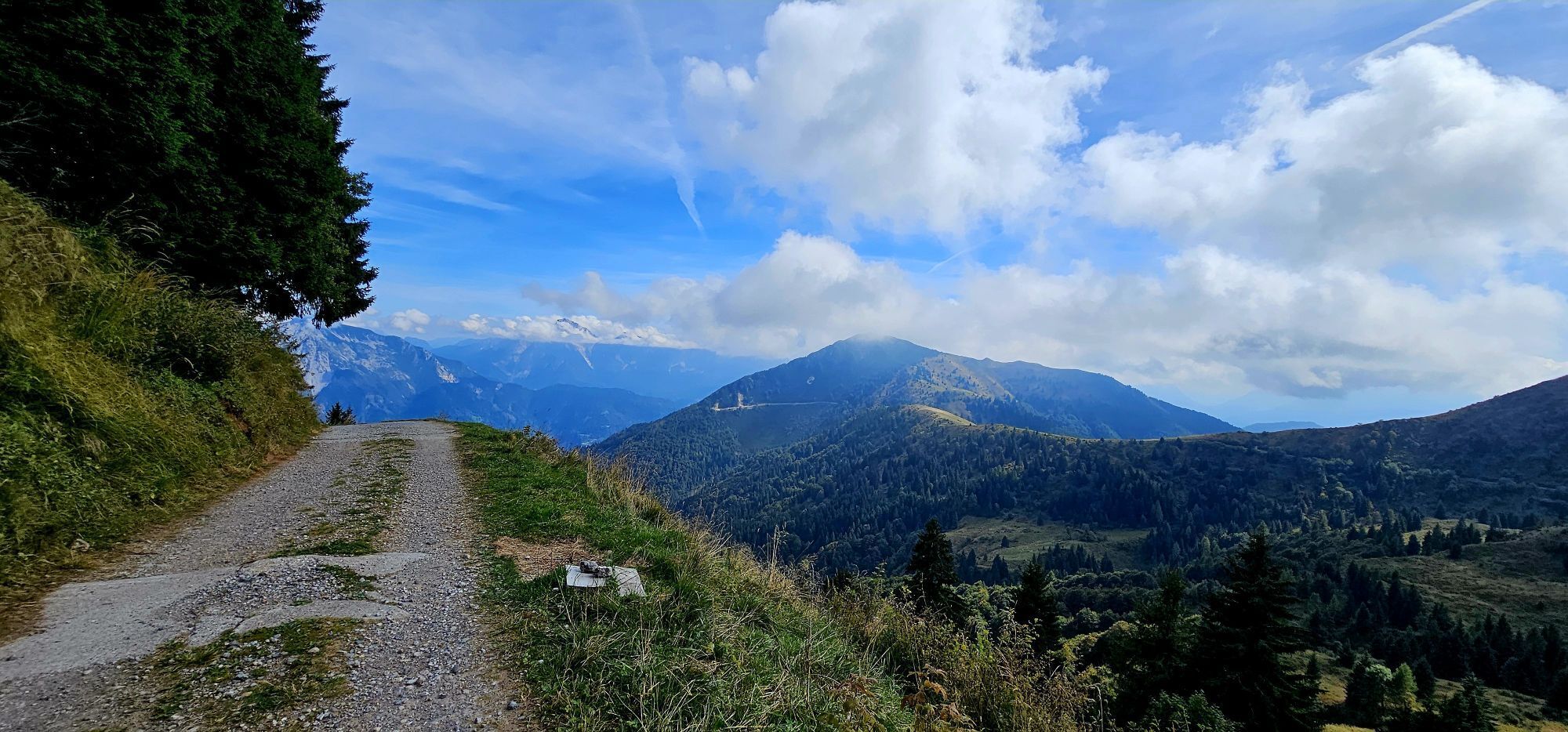
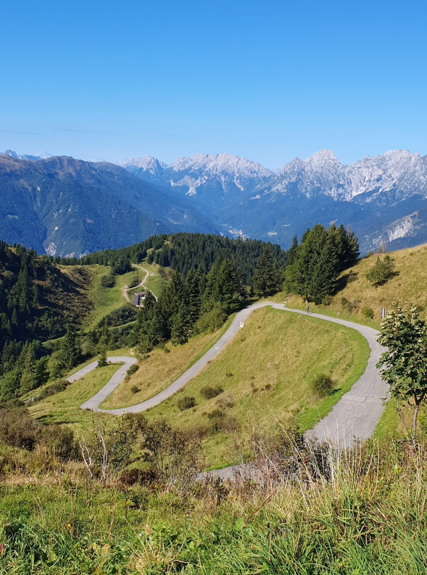
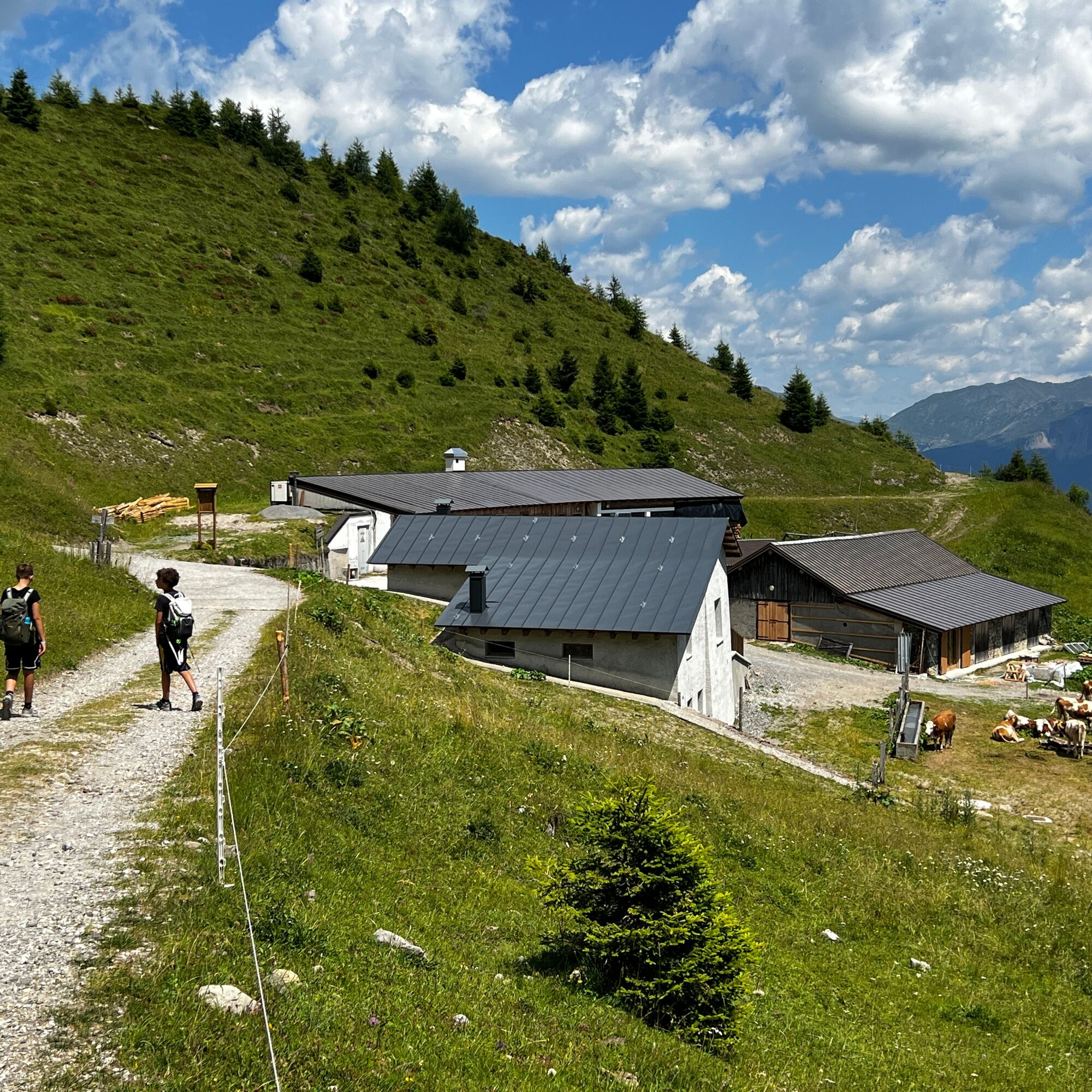
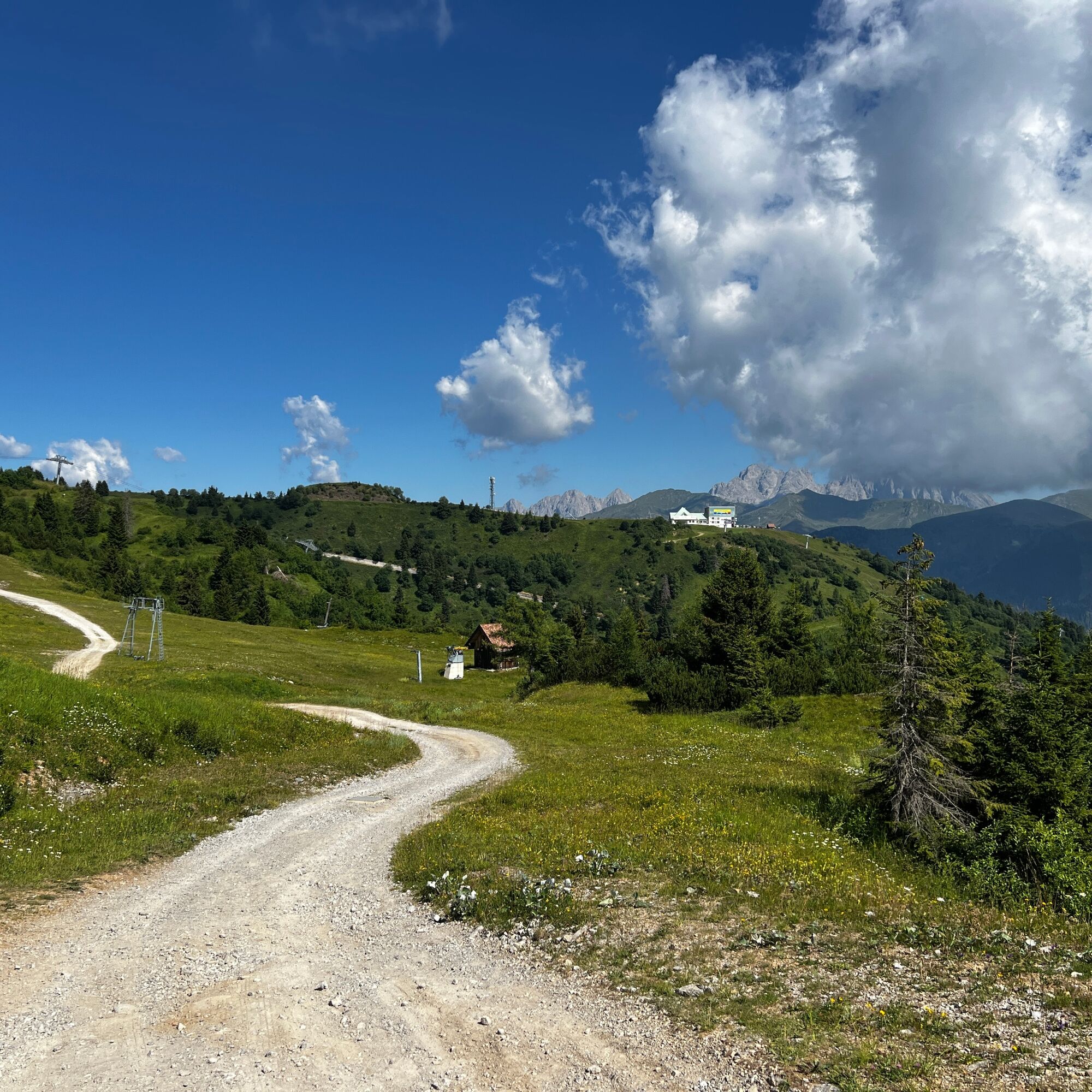
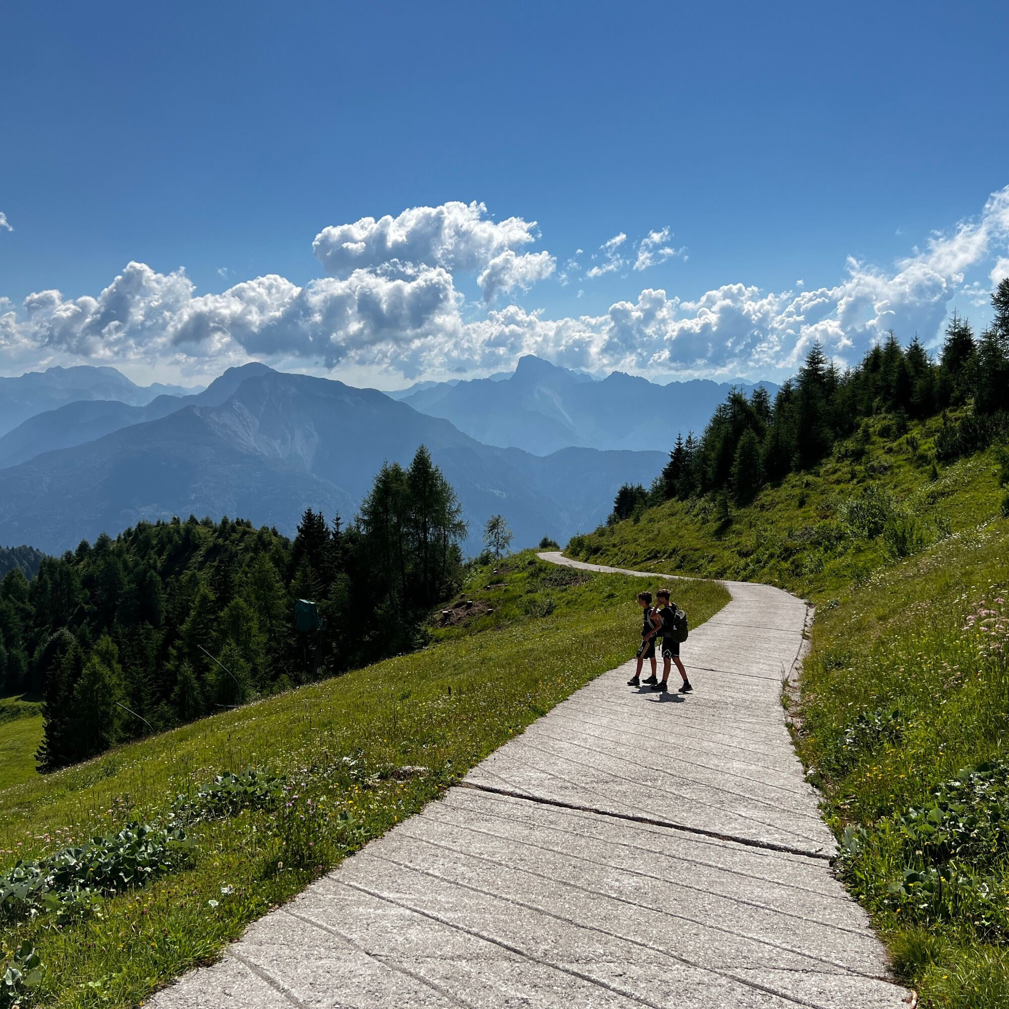
Start from the Sella Zoncolan parking lot and follow the paved road downhill, which leads to the Tamai Mountain Hut in about ten minutes. From here, continue along the dirt road on the left, which continues downhill through wide pastures, offering splendid views of the village of Zoncolan and the surrounding mountains. The trail descends to Malga Tamai—a facility not open to the public—and then continues with a short climb. Along this stretch, the view opens up onto the green slopes of Monte Tamai and the peaks of Carnia, offering truly captivating vistas. In the distance, you can see Malga Agareit, though you won’t reach it: at the marked fork, turn left. After about twenty minutes of walking through the woods, the vegetation gradually gives way to a wide meadow plateau from which the distinctive Malga Meleit comes into view a little further down. A few downhill switchbacks lead to the destination, a mountain hut open during the summer season where you can stop to enjoy traditional local dishes. The panoramic setting, surrounded by pastures and mountains, makes this hike particularly enjoyable for those who wish to spend a day immersed in the natural beauty of the Zoncolan.


Áno
Áno
Mountain Clothing
A route with no water fountains and mostly exposed to the sun
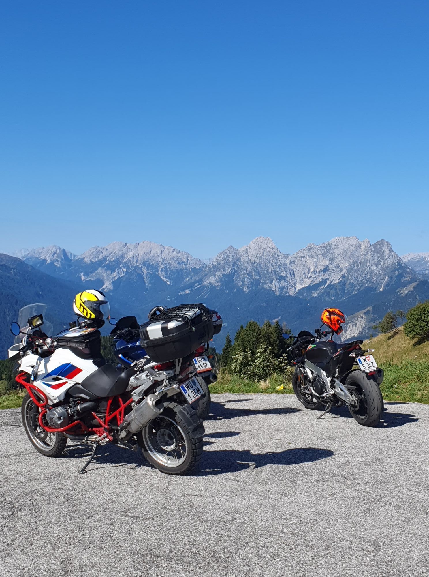
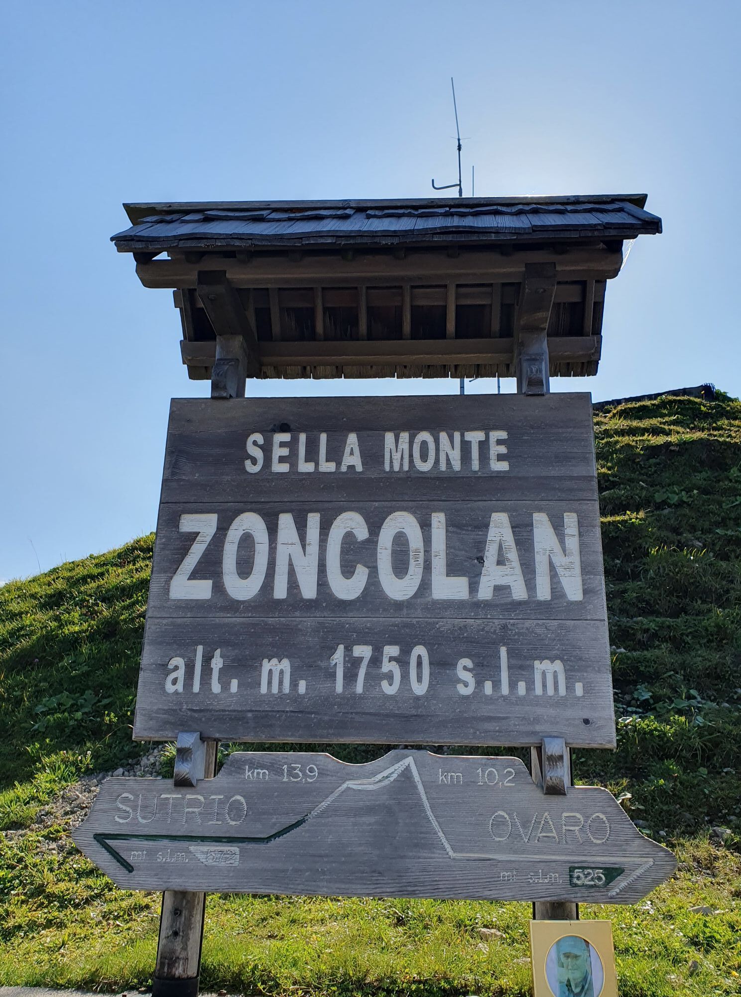
Start at Sella Zoncolan – finish at Malga Meleit. There is a small, free parking lot at the starting point.
Zoncolan Pass
T1
Malga Meleit is open during the summer from June to September; we recommend always checking to see if it’s open. Malga Meleit
Získajte prehľad
Vždy naživo na mieste s viac ako 9 500 webovými kamerami. bergfex Ako používateľ Pro si teraz môžete pozrieť príslušné webové kamery pre mnohé zájazdy v aplikácii zájazdy z. Môžete si tak priamo prezerať aktuálne podmienky.
Obľúbené výlety v okolí
-
4,9
Karnischer Hauptkamm - Hohe Warte 2.780m - Hike and Bike
ťažkéHorská turistika 19,5 km -
3,7
Cellon-Stollen und Senza Confini auf den Cellon und Steinberger Weg zum Abstieg
strednáVia ferrata 7,09 km -
3,6
RW_N61 Kleiner Pal (1,867 m)
ťažkéTuristika 6,52 km -
5,0
Valentin-Wolayersee-Runde
strednáTuristika 12,4 km -
5,0
Frischenkofel
strednáTuristika 5,25 km -
4,5
03 Südalpenweg, 24. Etappe: Valentinalm - Wolayerseehütte
strednádiaľková pešia trasa 9,63 km -
3,8
Oberst Gressel Klettersteig (C/D)
strednáVia ferrata 3,17 km -
Carnic Highroute – Stage 5: Wolayersee Hut - Zollnersee Hut
ťažkédiaľková pešia trasa 23,9 km -
5,0
Kleiner PAL, Freikofel, Großer Pal
strednáTuristika 13,0 km -
4,0
Plöckenpass: Cellonstollen und Senza Confini (D)
ťažkéVia ferrata 6,68 km
Turistika a stopovanie


Nenechajte si ujsť ponuky a inšpiráciu na ďalšiu dovolenku
Vaša e-mailová adresa bol pridaný do poštového zoznamu.





