


Ridge route in the Lower Rhine Valley of Liechtenstein
Úroveň náročnosti: T1
Fotografie našich používateľov
-
 © Xenia LangeVytvorené dňa 28.03.2026
 -
 © Manuela Ritter 1Vytvorené dňa 22.03.2026
 -
 © Manuela Ritter 1Vytvorené dňa 22.03.2026
 -
 © Manuela Ritter 1Vytvorené dňa 22.03.2026
 -
 © Manuela Ritter 1Vytvorené dňa 22.03.2026
 -
 © Manuela Ritter 1Vytvorené dňa 22.03.2026
 -
 © Manuela Ritter 1Vytvorené dňa 22.03.2026
 -
 © Manuela Ritter 1Vytvorené dňa 22.03.2026
 -

 © Heinrich ZwickyVytvorené dňa 21.09.2025
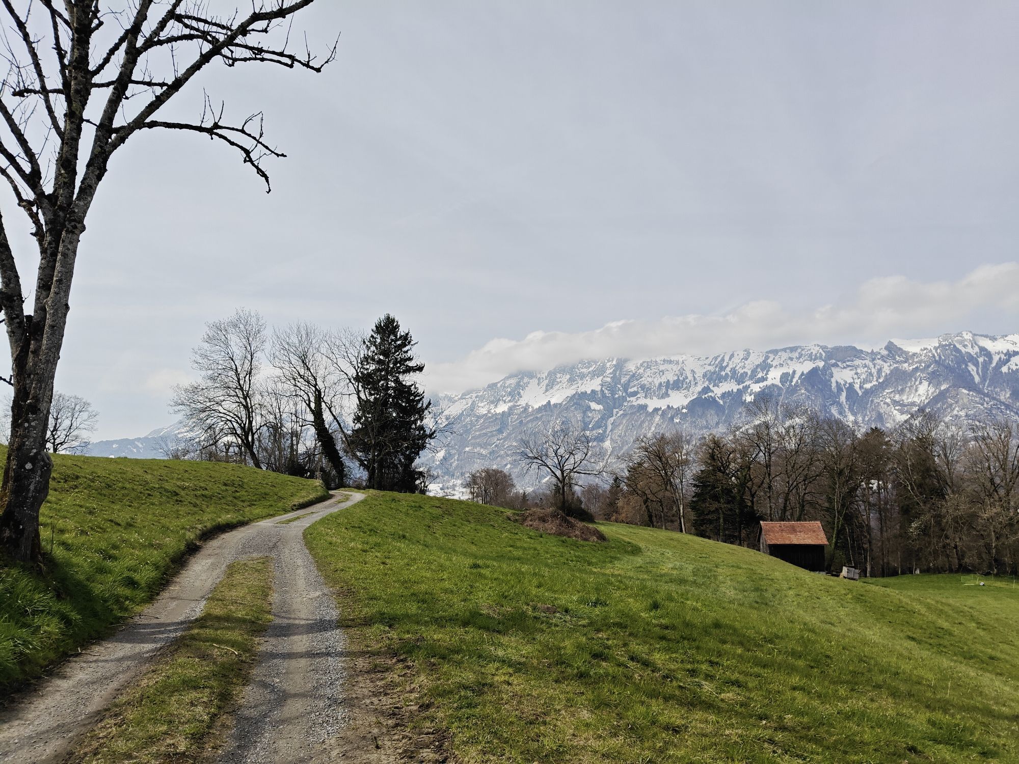
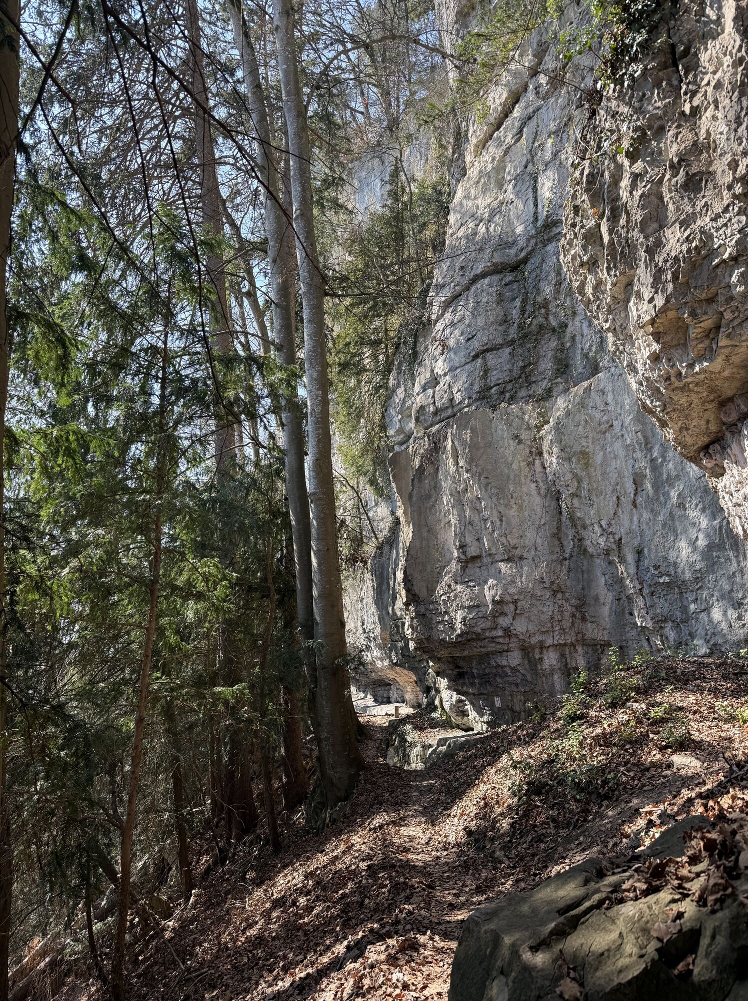
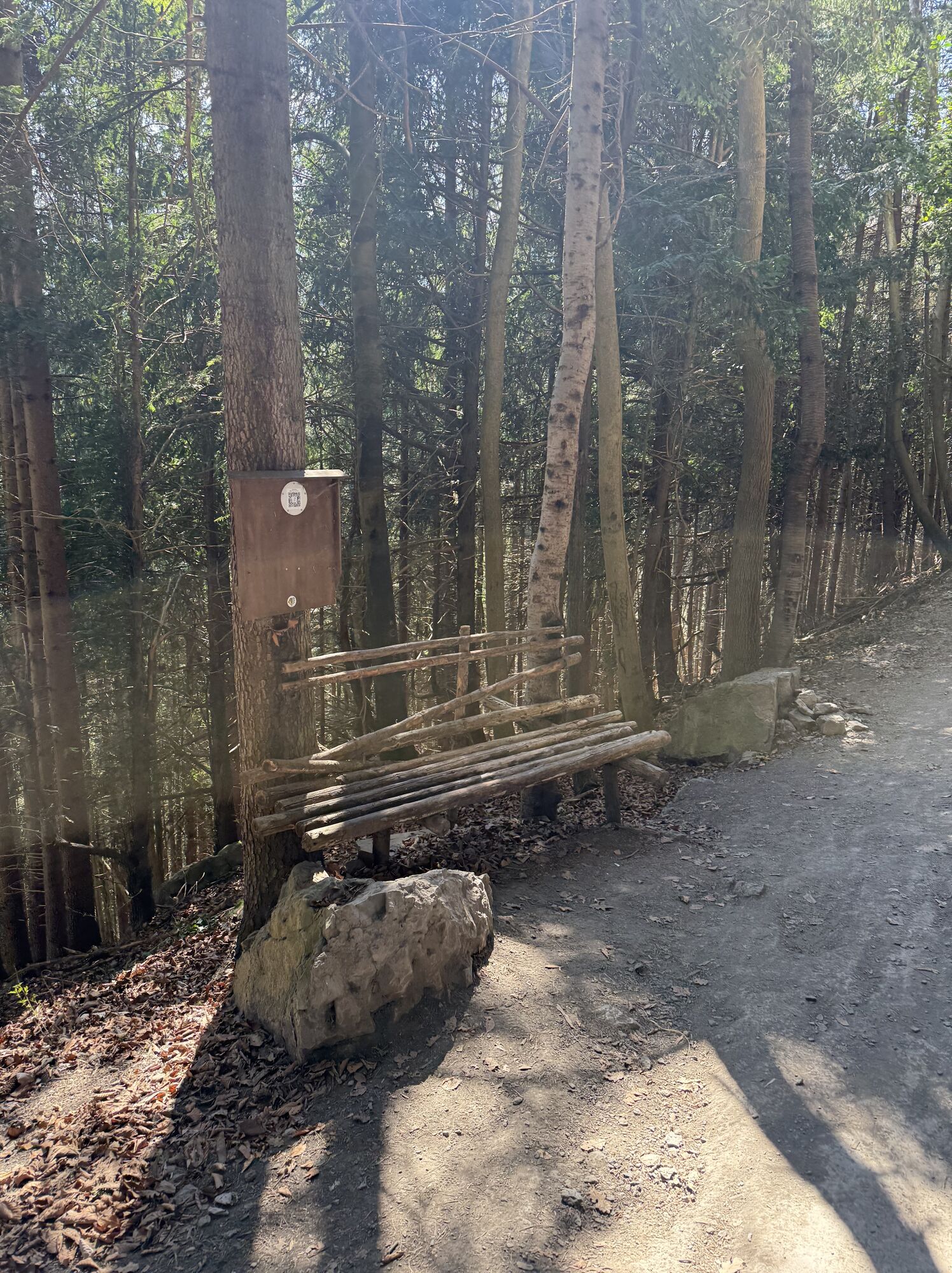


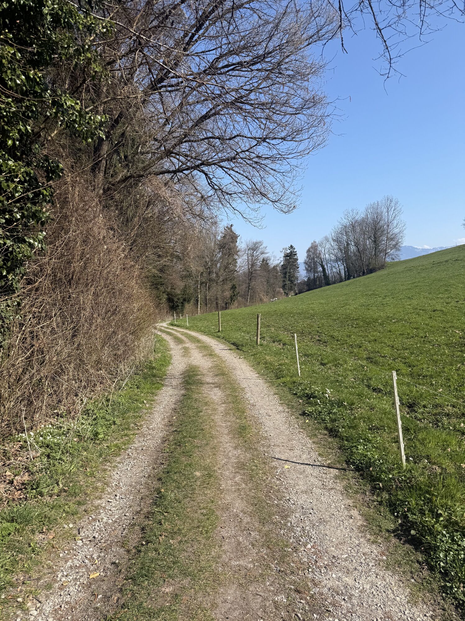
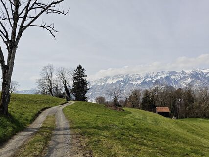
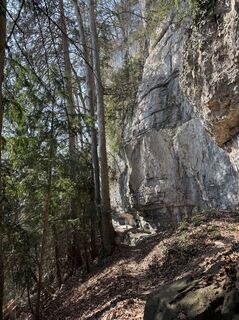
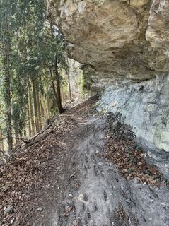
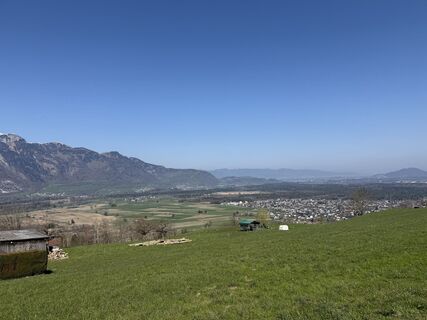
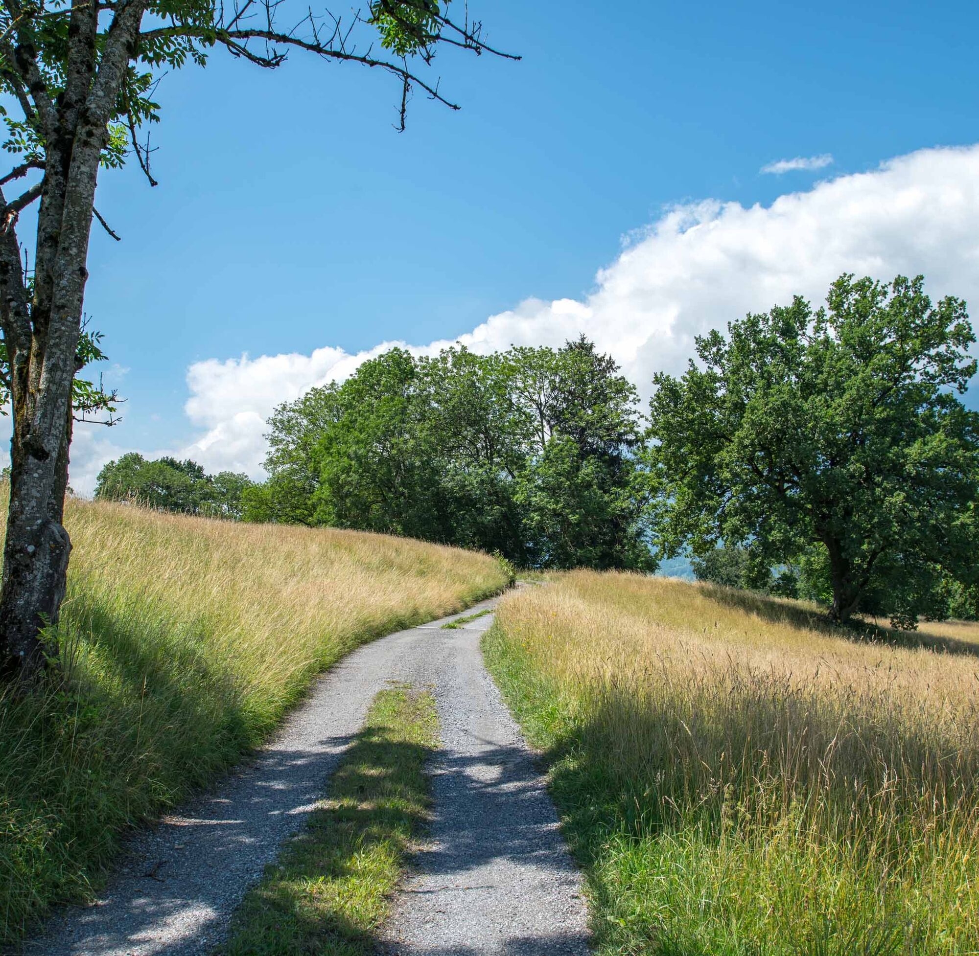
A path that tells stories: The approximately 16 km long Historical Ridge Route invites you to a varied circular hike through the Lower Rhine Valley of Liechtenstein. The starting point is Bendern, from...
A path that tells stories: The approximately 16 km long Historical Ridge Route invites you to a varied circular hike through the Lower Rhine Valley of Liechtenstein. The starting point is Bendern, from where you can experience the history of Liechtenstein up close via Schellenberg and Gamprin on partly scenic, partly shaded trails.
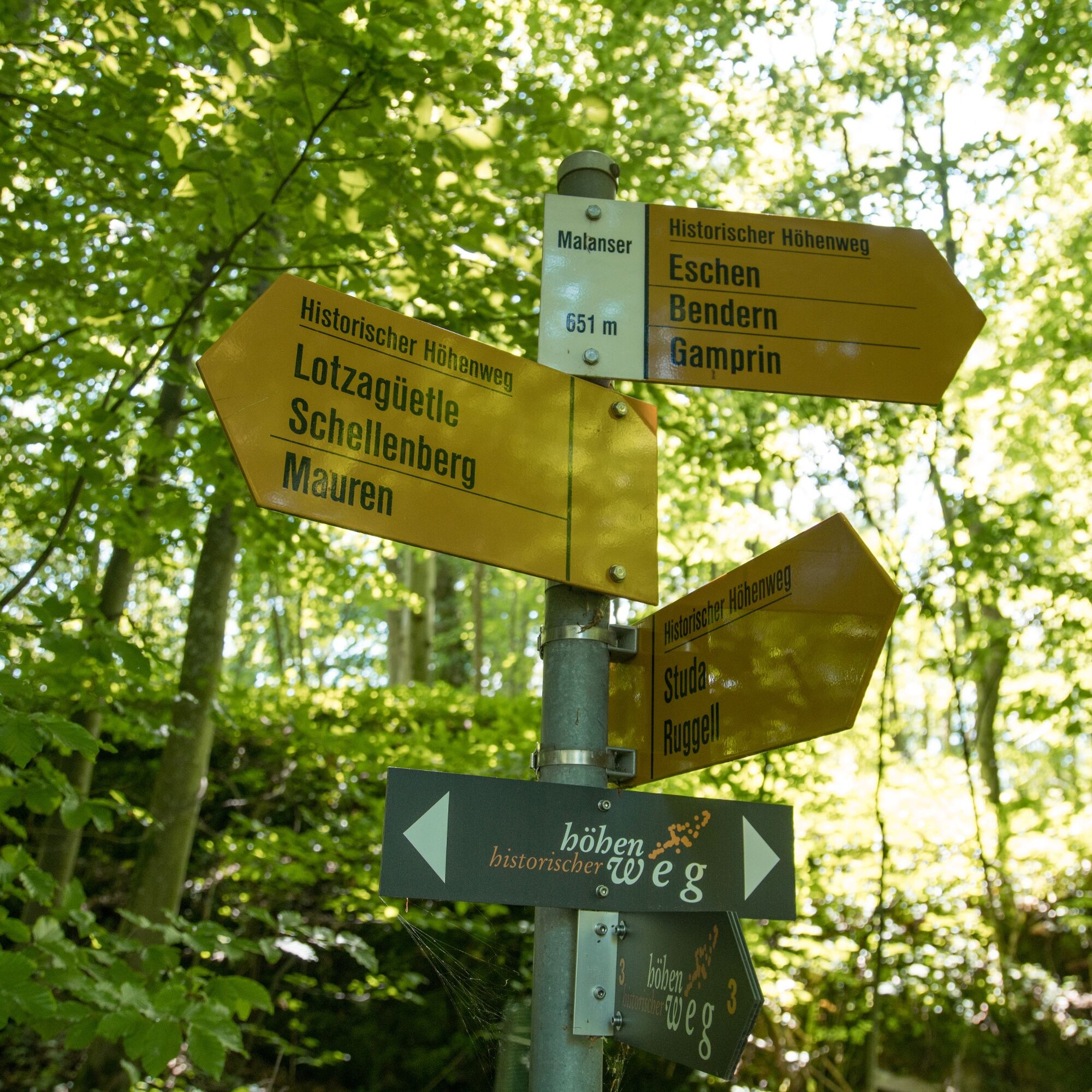
More than 30 information boards along the route give you exciting insights into archaeological sites, prehistoric settlements as well as legends, field names, and natural history features. The path leads you through time – from prehistory to the present.
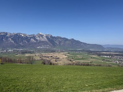
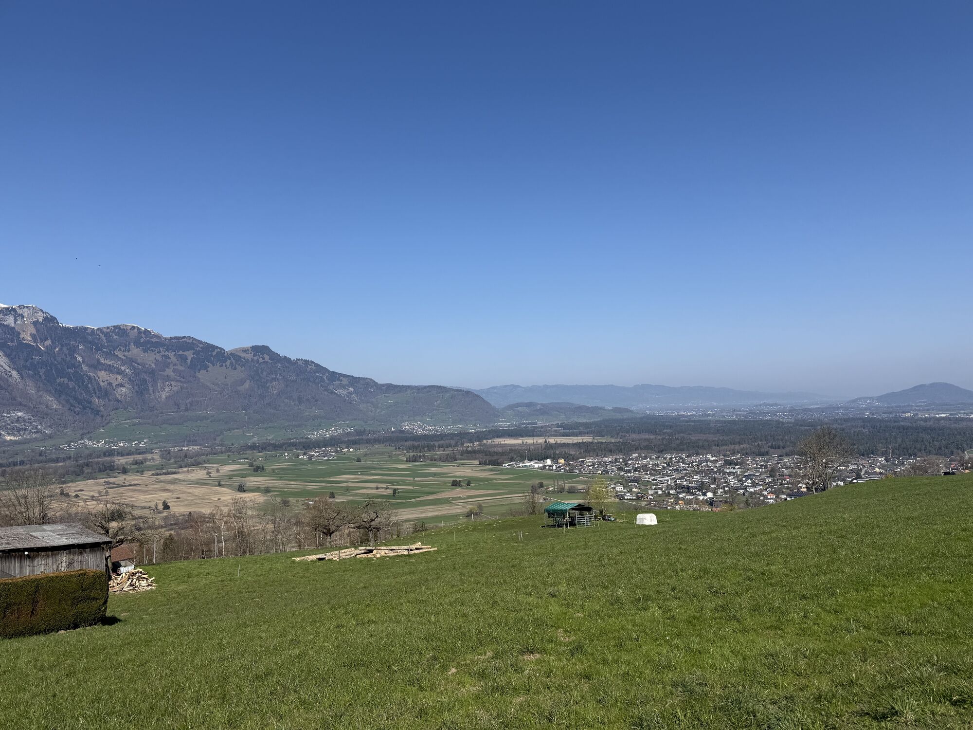
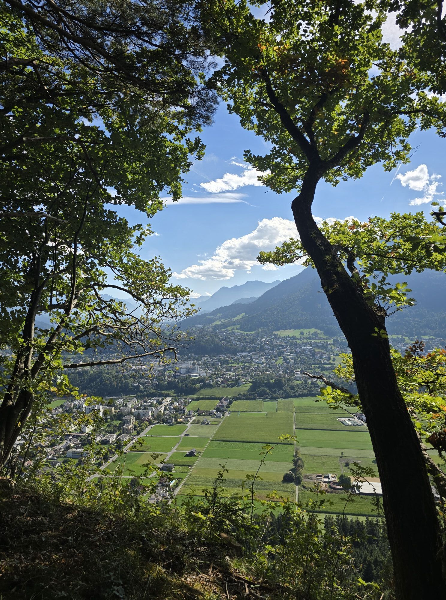
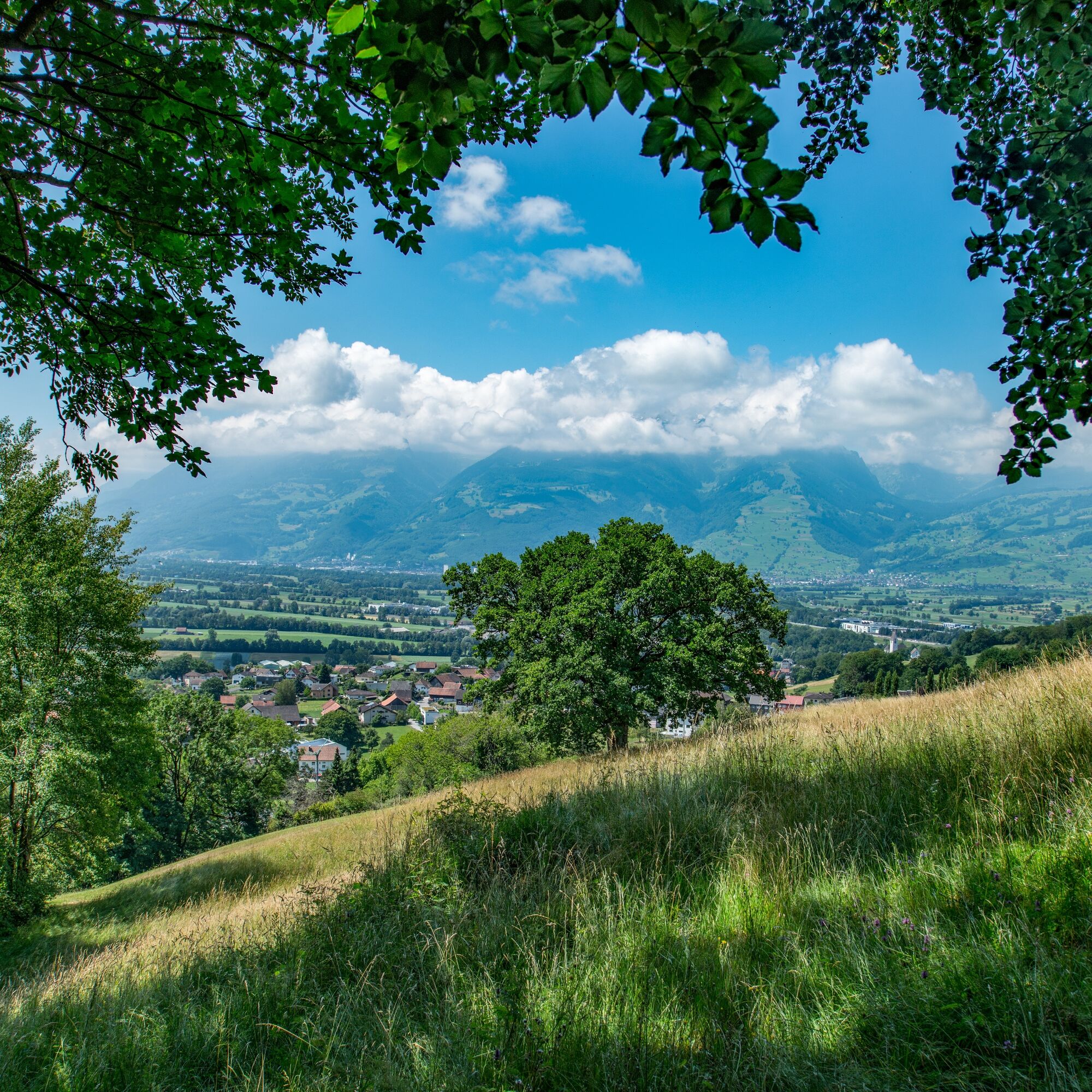
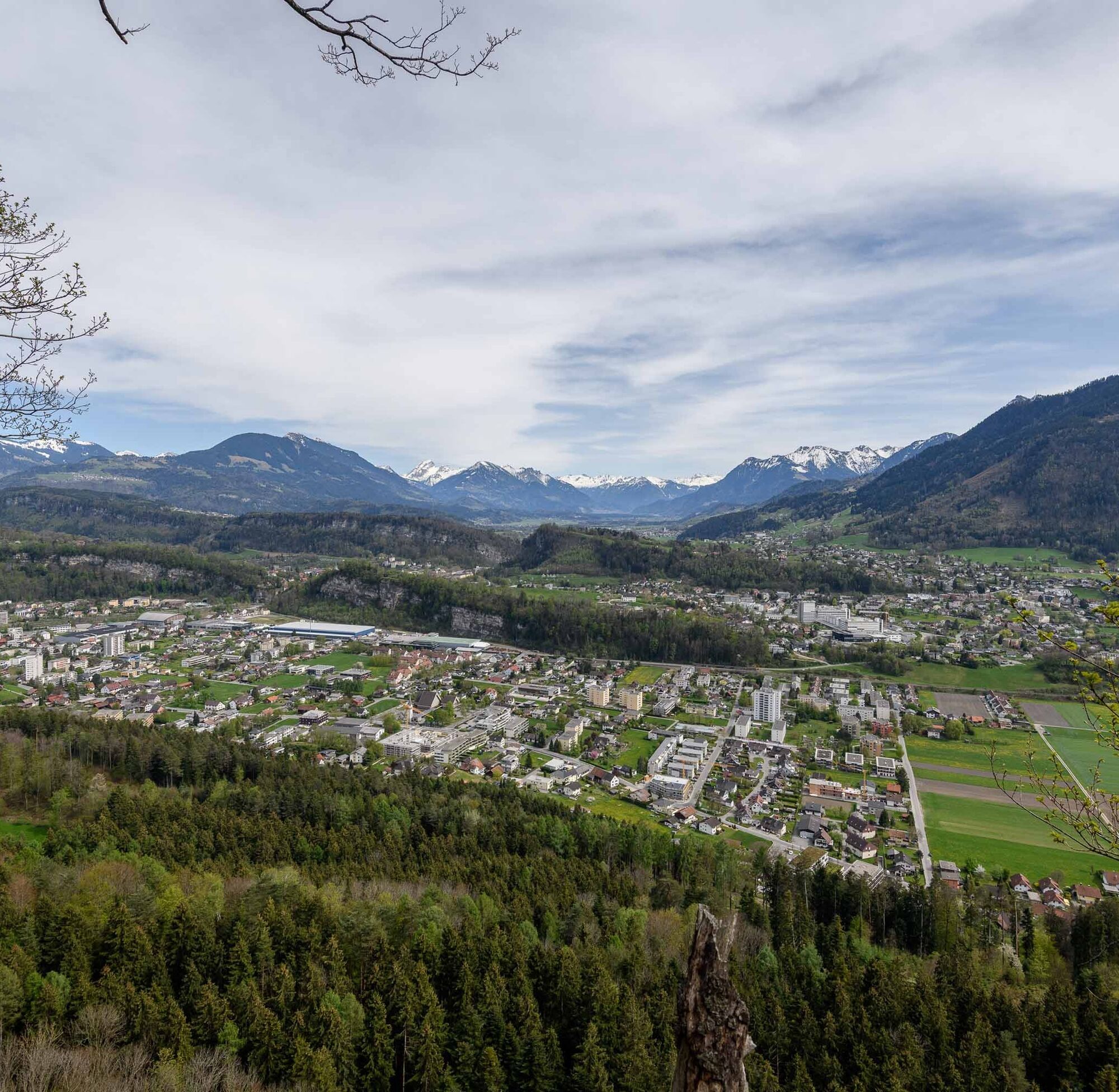
The view over the Rhine Valley and the surrounding mountain ranges of Rätikon, Alvier Group, and Alpstein make this hike a real highlight – in every season.
If you want to walk the ridge route in several stages, you can find an overview of the stages here.

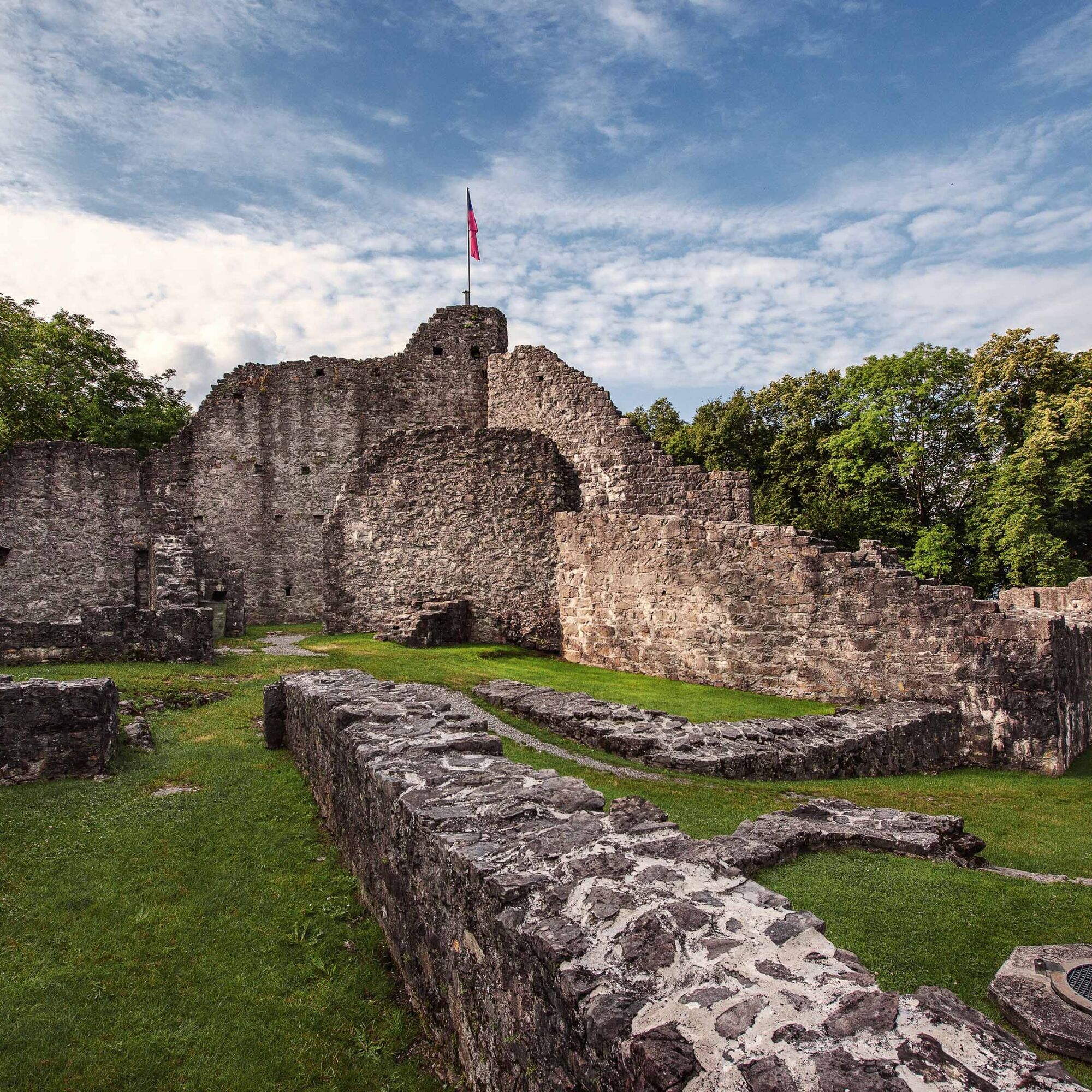
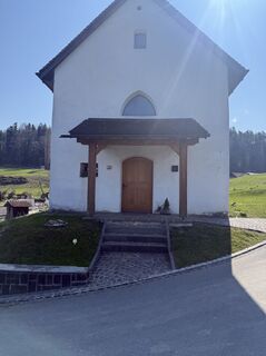
Schellenberg Church - Ruin Alt Schellenberg - Loch - Stauden - Lums - Malanserwald - Lutzengütle - Eschnerrüte - Upper Castle - Hinterschellenberg - Rütte - Schellenberg center
To undertake a route, careful planning is required. We recommend exchanging information in advance with the local information offices about the trails and weather conditions. Depending on the season and weather conditions, this route can be closed or interrupted.
There are parking spaces at the Schellenberg post office.
T1
If you want to walk the ridge route in several stages, you can find an overview here of the stages.
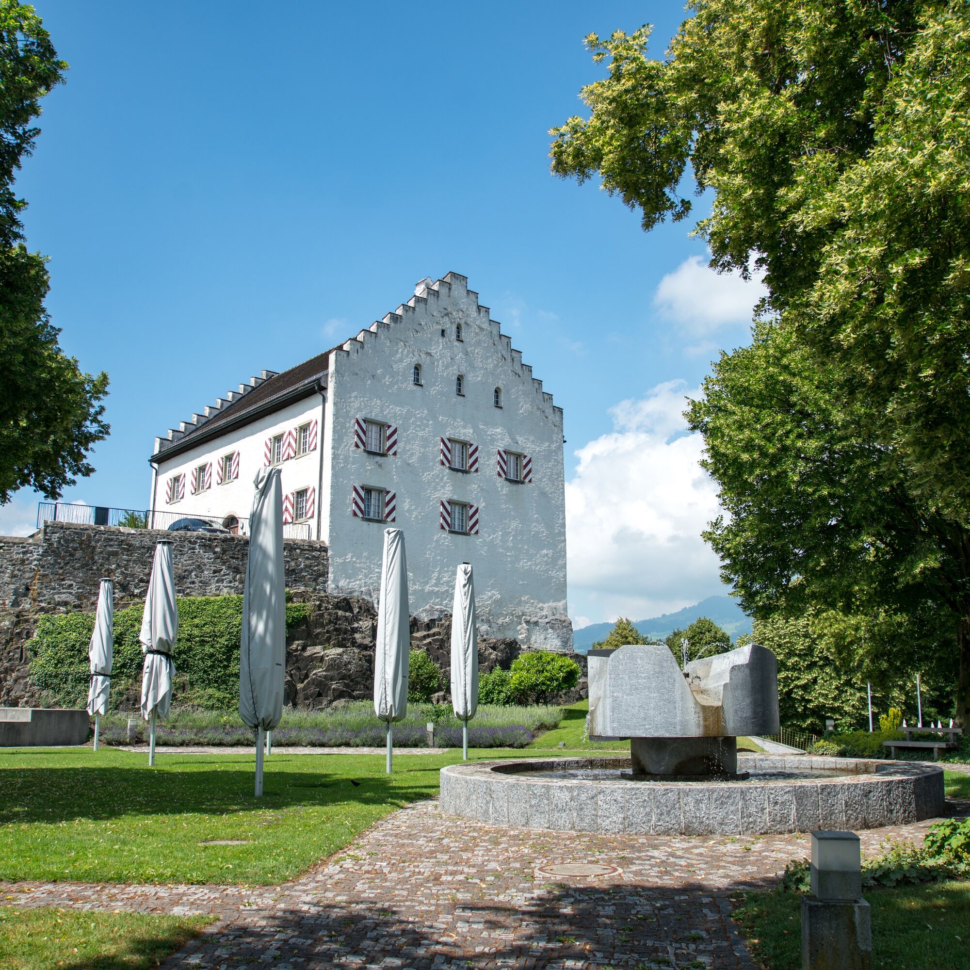
The Biedermann House in Schellenberg is the oldest house in Liechtenstein and is set up as a rural residential museum.
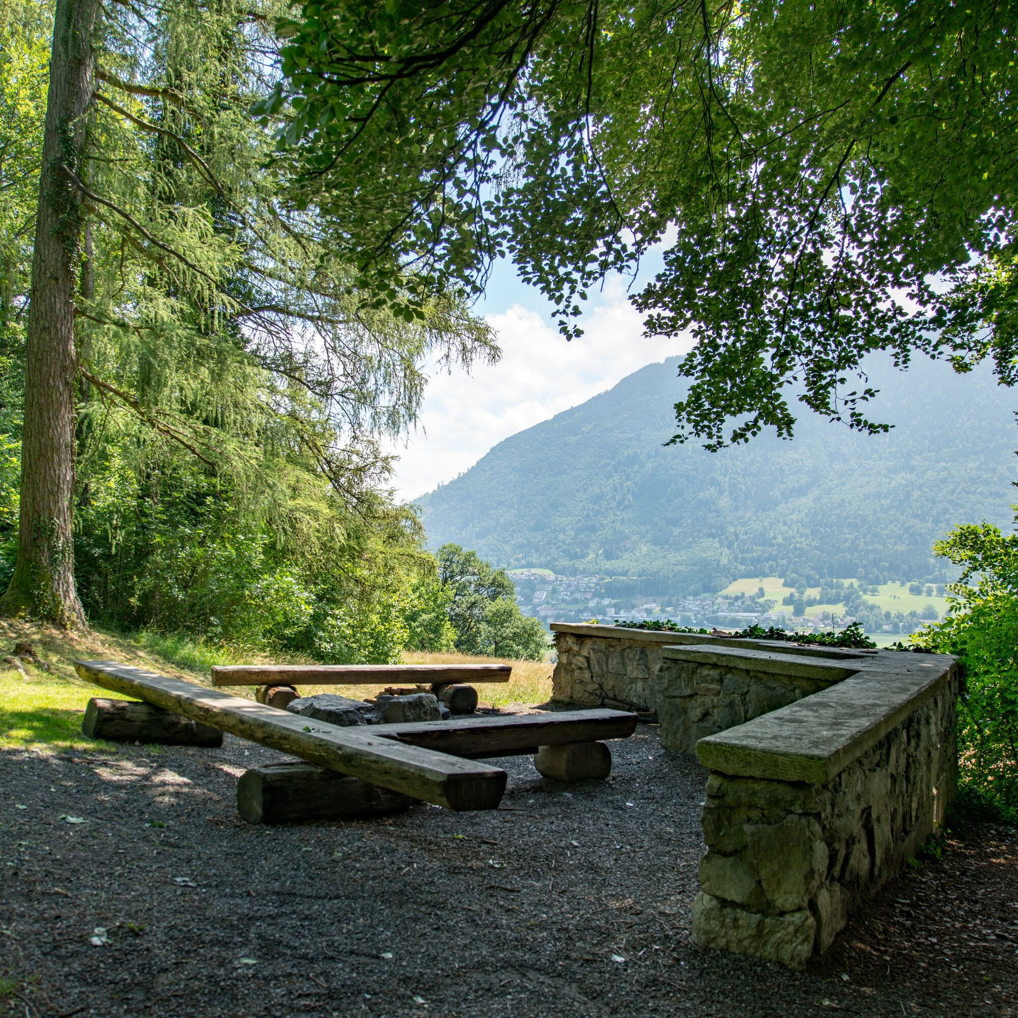
Family tip: A section leads along the family path "Wurz and Zirp on a time travel." At the castle ruins in Schellenberg there is a barbecue area.
Obľúbené výlety v okolí
-
4,3
Üble Schlucht / Laterns
strednáTuristika 6,30 km -
4,7
Wasserauen - Seealpsee - Wasserauen
strednáTuristika 7,71 km -
4,6
Tour Brülisau - Saxerlücke - Hoherkasten⛰
ťažkéTuristika 16,6 km -
4,9
Säntis-Gipfeltour, Wasserauen / Appenzell Innerrhoden
ťažkéTuristika 21,1 km -
3,8
Sassweg - von Malbun zum Sass-Seelein
Turistika 4,14 km -
4,6
To the summit cross of the Alpspitz
svetloTuristika 6,27 km -
5,0
Staubern-Runde (15.8.2021)
strednáTuristika 8,65 km -
4,8
From Malbun to the Schönberg
strednáTuristika 12,4 km -
4,8
2 Seenwanderung Sämtisersee und Fälensee
strednáTuristika 14,6 km -
3,5
Fürstensteig-Drei Schwestern
Turistika 12,9 km
Turistika a stopovanie


Nenechajte si ujsť ponuky a inšpiráciu na ďalšiu dovolenku
Vaša e-mailová adresa bol pridaný do poštového zoznamu.