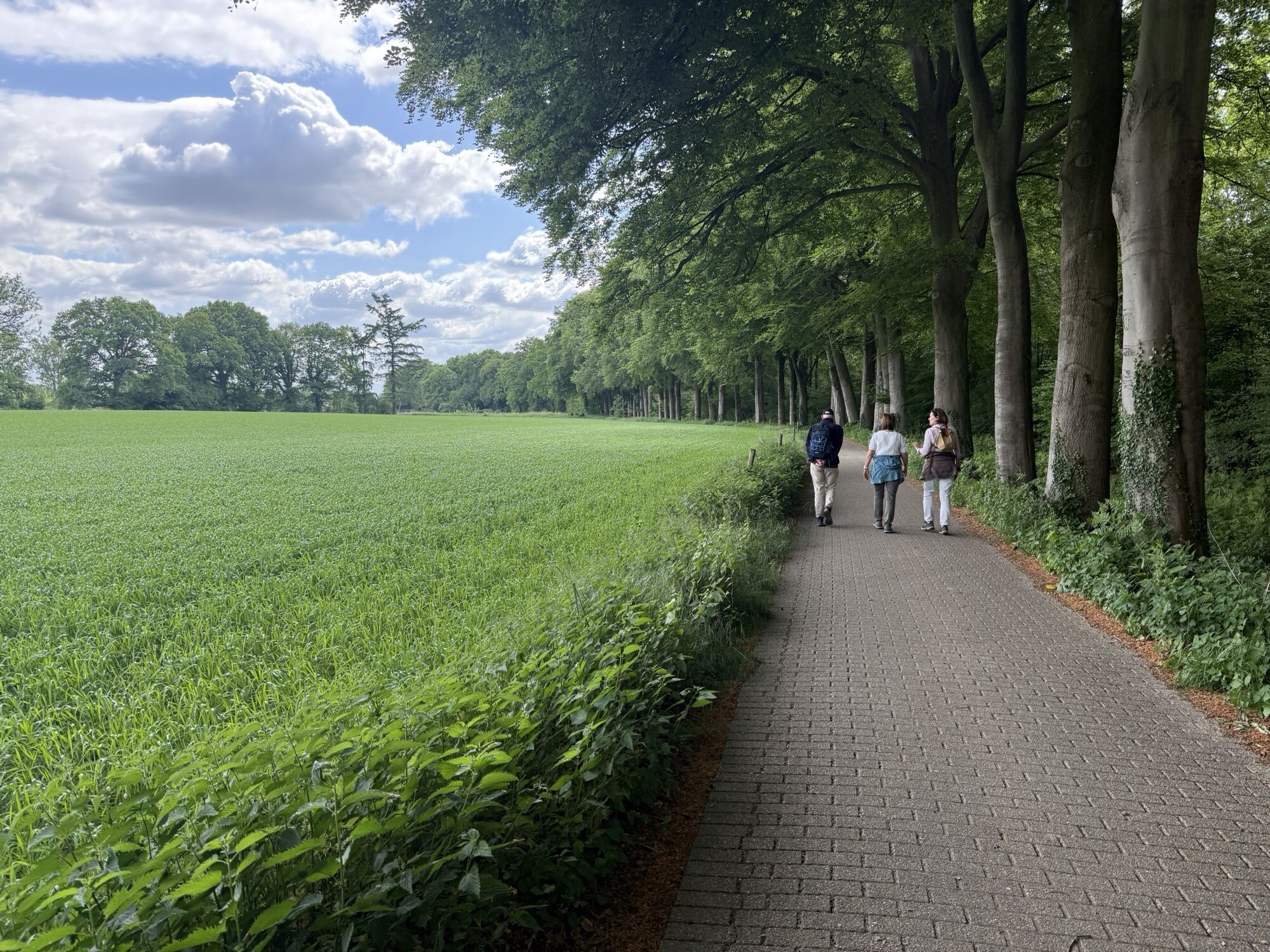
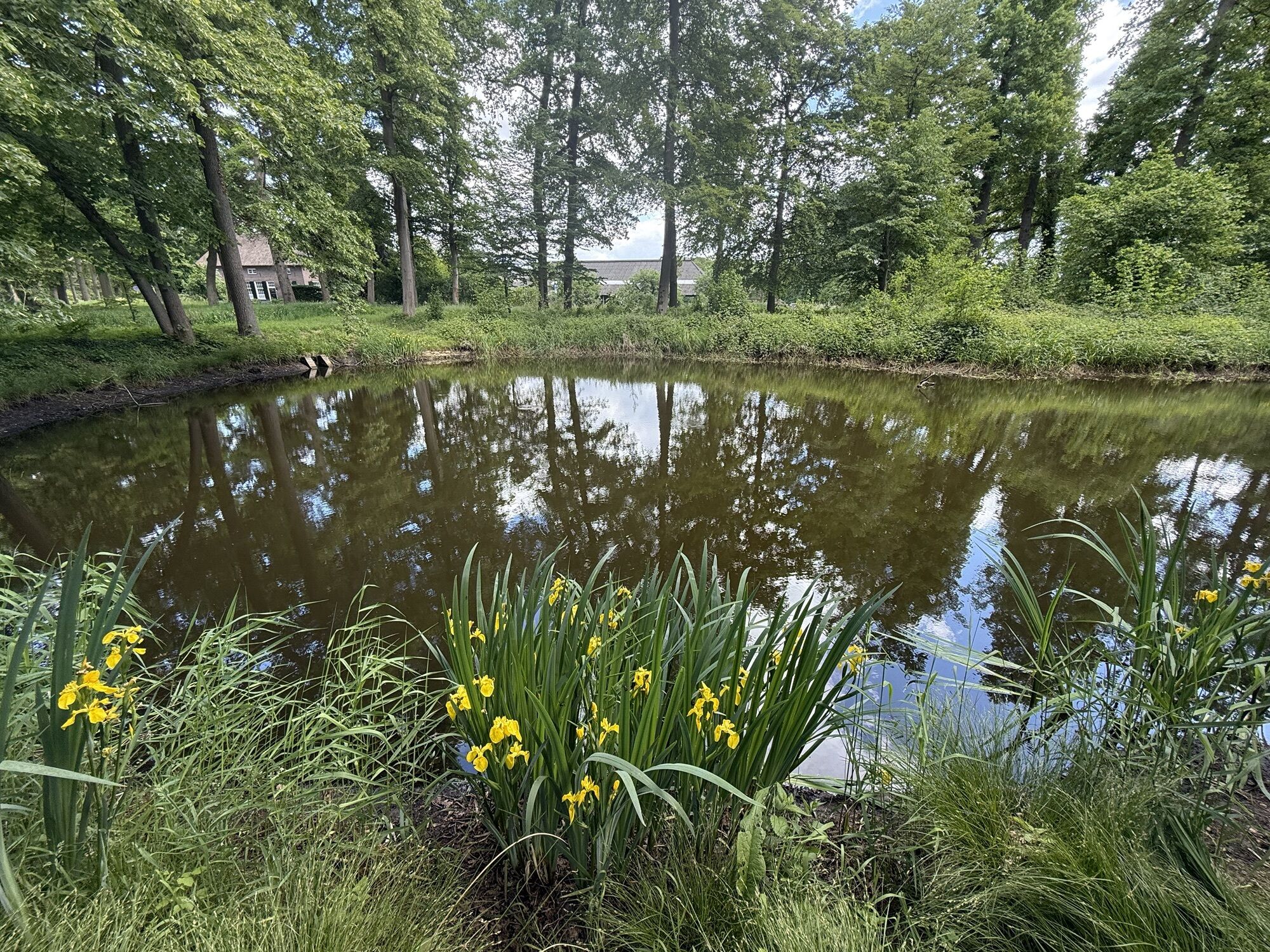
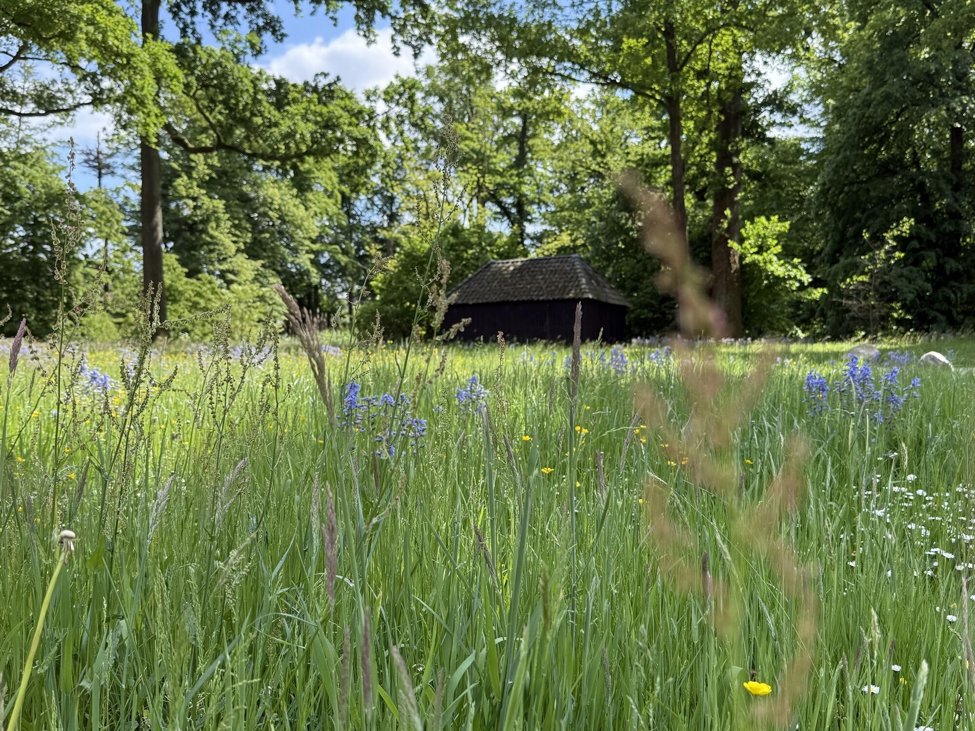
Protestantse Kerk - Mariakapel Vierakkersestraatweg - Christophorus Kerk - Rietmolen
stredná
Získajte túto prehliadku v mobilnom telefóne
Protestantse Kerk - Mariakapel Vierakkersestraatweg - Christophorus Kerk - Rietmolen
stredná
Štrkový bicykel
52,01
km
Naskenujte kód QR a spustite navigáciu v aplikácii bergfex

Turistika a stopovanie


Protestantse Kerk - Mariakapel Vierakkersestraatweg - Christophorus Kerk - Rietmolen
stredná
Vzdialenosť
52,01
km
Trvanie
03:21
h
Ascent
439
hm
Hladina mora
8 -
38
m
Stiahnutie skladby
Protestantse Kerk - Mariakapel Vierakkersestraatweg - Christophorus Kerk - Rietmolen
stredná
Štrkový bicykel
52,01
km
Trasa
Protestantse Kerk
(14 m)
Miesto uctievania
0,0 km
Mariakapel Vierakkersestraatweg
(28 m)
Miesto uctievania
0,9 km
Barchem
(18 m)
Dedina
19,2 km
Christophorus Kerk
(20 m)
Miesto uctievania
28,3 km
Nederbiel
(18 m)
Zúčtovanie
29,7 km
Lochuizen
(19 m)
Zúčtovanie
36,0 km
Rietmolen
(21 m)
Dedina
44,6 km
Trasa
Protestantse Kerk - Mariakapel Vierakkersestraatweg - Christophorus Kerk - Rietmolen
stredná
Štrkový bicykel
52,01
km
Protestantse Kerk
(14 m)
Miesto uctievania
0,0 km
Wichmond
(10 m)
Dedina
0,3 km
Mariakapel Vierakkersestraatweg
(28 m)
Miesto uctievania
0,9 km
Vorden
(15 m)
Dedina
7,1 km
Barchem
(18 m)
Dedina
19,2 km
Respelhoek
(17 m)
Zúčtovanie
26,3 km
Christophorus Kerk
(20 m)
Miesto uctievania
28,3 km
Geesteren
(18 m)
Dedina
28,4 km
Nederbiel
(18 m)
Zúčtovanie
29,7 km
Lochuizen
(19 m)
Zúčtovanie
36,0 km
Rietmolen
(21 m)
Dedina
44,6 km
Zatiaľ žiadne recenzie
Obľúbené výlety v okolí
-
5,0
Haarlo - Oude Kerk of Kluntjespot
svetloTuristika 7,78 km -
5,0
Vorden - Lochem - Lochemse Berg - Kale Berg
strednáMountainbike 38,5 km -
4,0
Le Défi - Brasserie Woods - Zwiepse Berg - Lochemse Berg
strednáTuristika 8,55 km -
3,0
Vorden - Rooms Katholieke Christus Koning Parochie - Dorpskerk Vorden
strednáTuristika 16,4 km -
4,0
Markelo - Markelose Berg - Martinuskerk
svetloTuristika 5,28 km -
Goor
svetloTuristika 5,13 km -
Barchem - Lochemse Berg - Kale Berg
strednáTuristika 14,4 km -
Barchem - Lochemse Berg
svetloTuristika 3,62 km -
Lochem
strednáMountainbike 31,6 km -
Borculo - Heure
strednáTuristika 9,52 km
Turistika a stopovanie

Viac ako 550.000 návrhov výletov, podrobné mapy a intuitívny plánovač trás robia z aplikácie povinnú výbavu pre všetkých nadšencov prírody.

Nenechajte si ujsť ponuky a inšpiráciu na ďalšiu dovolenku
Prihlásiť sa k odberu noviniek
Chyba
Vyskytla sa chyba. Prosím, skúste to znova.
Ďakujeme za vašu registráciu
Vaša e-mailová adresa bol pridaný do poštového zoznamu.
Zájazdy po celej Európe
Rakúsko
Švajčiarsko
Nemecko
Taliansko
Slovinsko
Francúzsko
Holandsko
Belgicko
Poľsko
Lichtenštajnsko
Česko
Slovensko
španielsko
Hrvaška
Bosna a Hercegovina
Luxembursko
Andorra
Portugalsko
Island
Spojené kráľovstvo
Írsko
Grécko
Albánsko
Severné Macedónsko
Malta
Nórsko
Čierna Hora
Moldavsko
Kosovo
Maďarsko
San Maríno
Rumunsko
Estónsko
Lotyšsko
Bielorusko
Cyprus
Litva
Srbsko
Bulharsko
Monako
Dánsko
Švédsko
Fínsko