







Roc d’Orsay

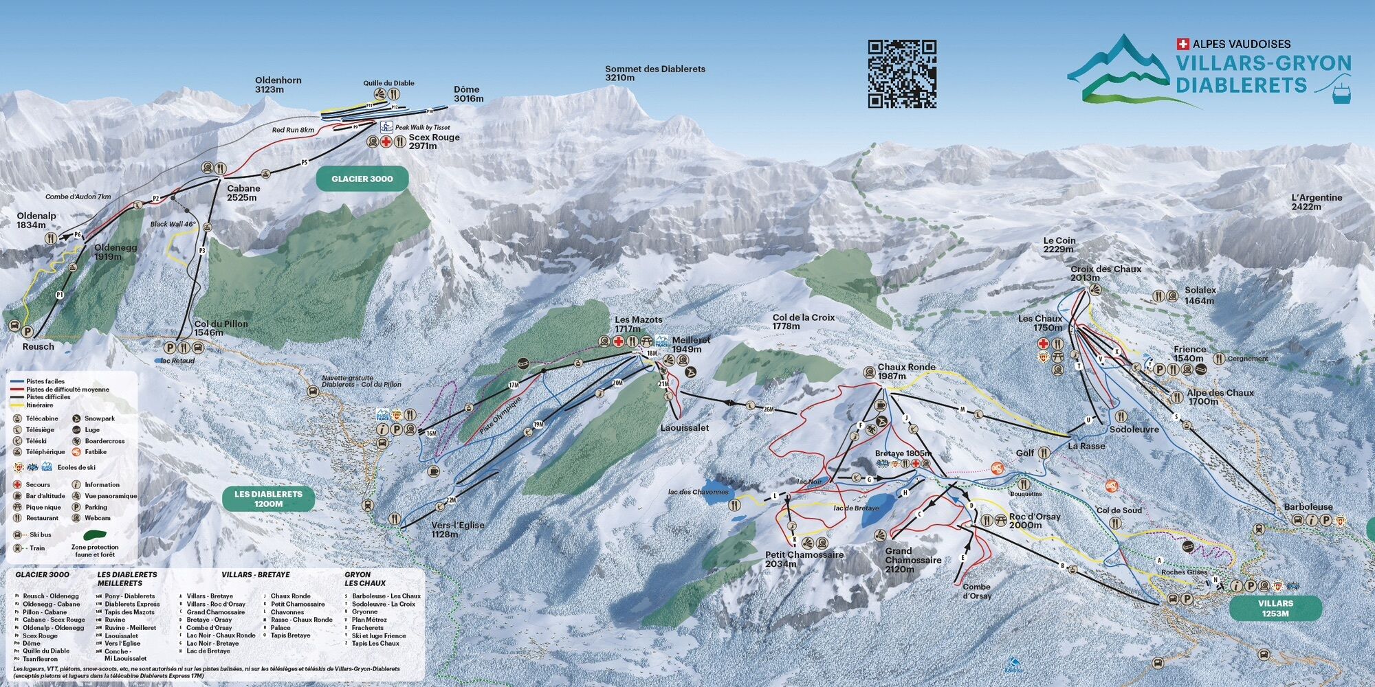
This route starts from the lower station of the Roc d'Orsay cable car. Follow the pylons for the first kilometer. Depending on the snow conditions, take off your shoes and cross one or two paths. Then...
This route starts from the lower station of the Roc d'Orsay cable car.
Follow the pylons for the first kilometer.
Depending on the snow conditions, take off your shoes and cross one or two paths. Then join the Bouquetins track and follow it briefly then turn left and join the Tailles road. Cross the road and reach the Roc d'Orsay, an area well known to regulars and requiring care if the snow is icy.
Enjoy a break at the Roc d'Orsay restaurant and return to Villars via the pistes.



Don’t leave any garbage behind, show consideration for the natural environment and the property owners of the land used! The forest is an undisturbed wildlife habitat, so please stay on the marked trails.
Webové kamery z prehliadky

Obľúbené výlety v okolí
-
4,5
Tour de l'éboulement des Diablerets
svetloTuristika 6,52 km -
4,8
La Palette
svetloTuristika 9,91 km -
5,0
De Bretaye au Lac des Chavonnes via Vy Boveyre et Conche
svetloTuristika 5,37 km -
4,6
Les Diablerets- Villars - Gryon
strednáLyžovanie 51,8 km -
5,0
Loutze
svetloZimná turistika 6,83 km -
5,0
Lapis de Zanfleuron
strednáTuristika 9,64 km -
5,0
Herbstwanderung in den Waadtländer Alpen ??
strednáTuristika 14,3 km -
4,5
Bretaye
svetloSkitour 4,59 km -
3,0
Hiking trail along the Vièze gorges
svetloTuristika 6,18 km -
3,0
Jorasse
strednáSnežnice 4,05 km
Turistika a stopovanie


Nenechajte si ujsť ponuky a inšpiráciu na ďalšiu dovolenku
Vaša e-mailová adresa bol pridaný do poštového zoznamu.





