



Cycling route Žirovnica–Smokuški Peak–parking lot below Tinčkova hut–Žirovnica


Although at first glance the cycling route seems unremarkable, it will be remembered for its climbs, views, and incredible silence in beautifully preserved nature. We start in front of the TIC or in front...
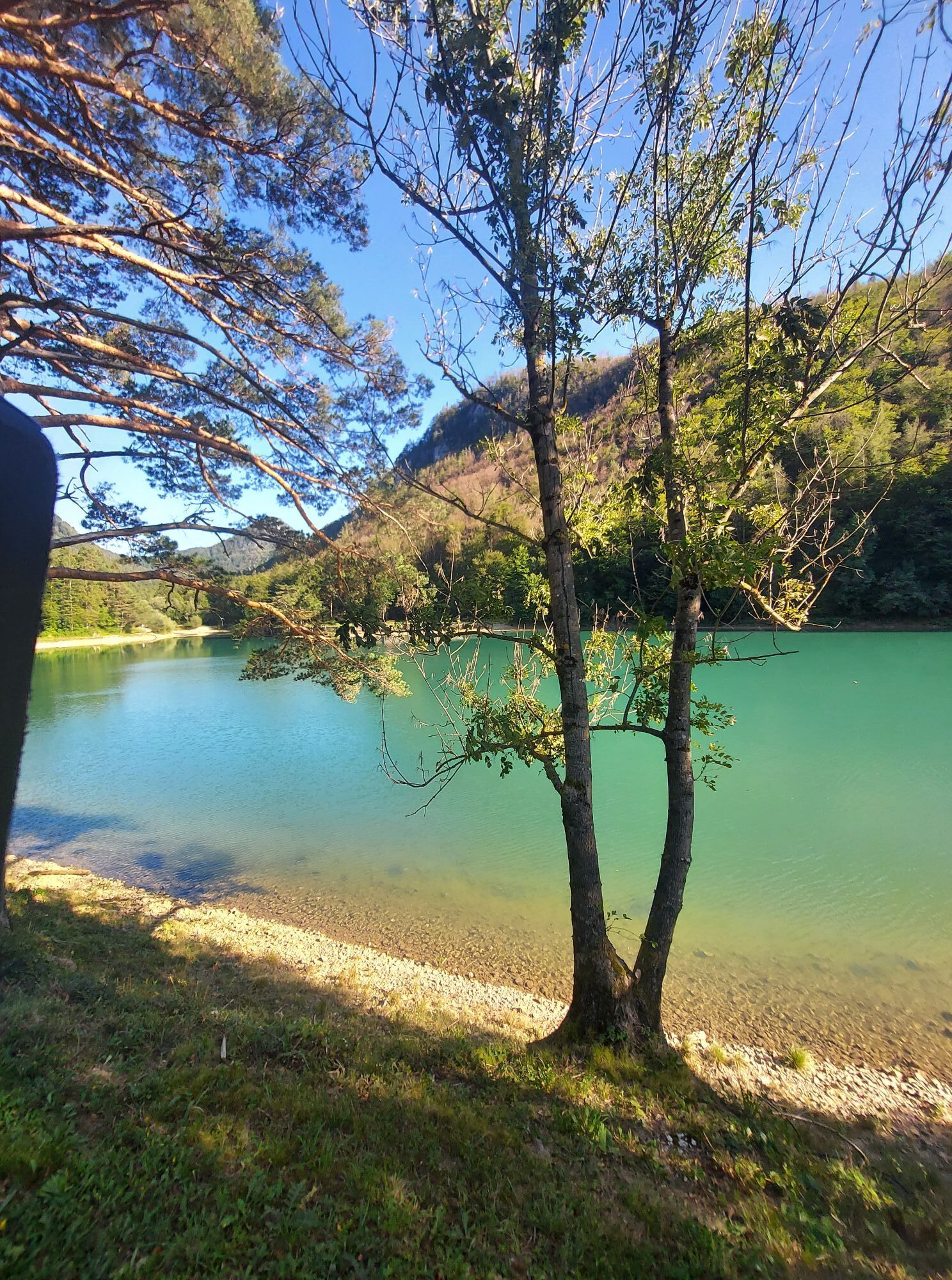
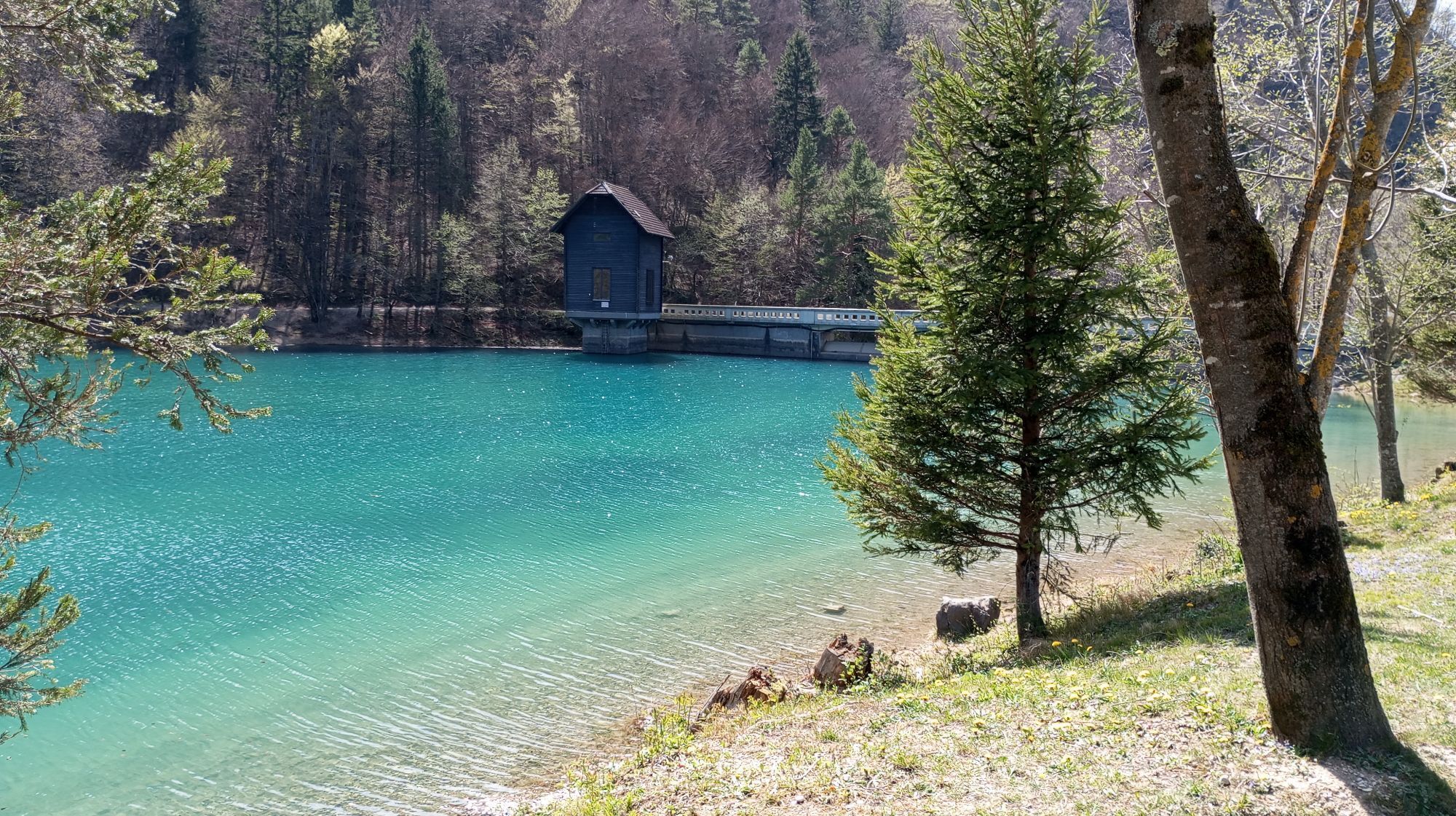
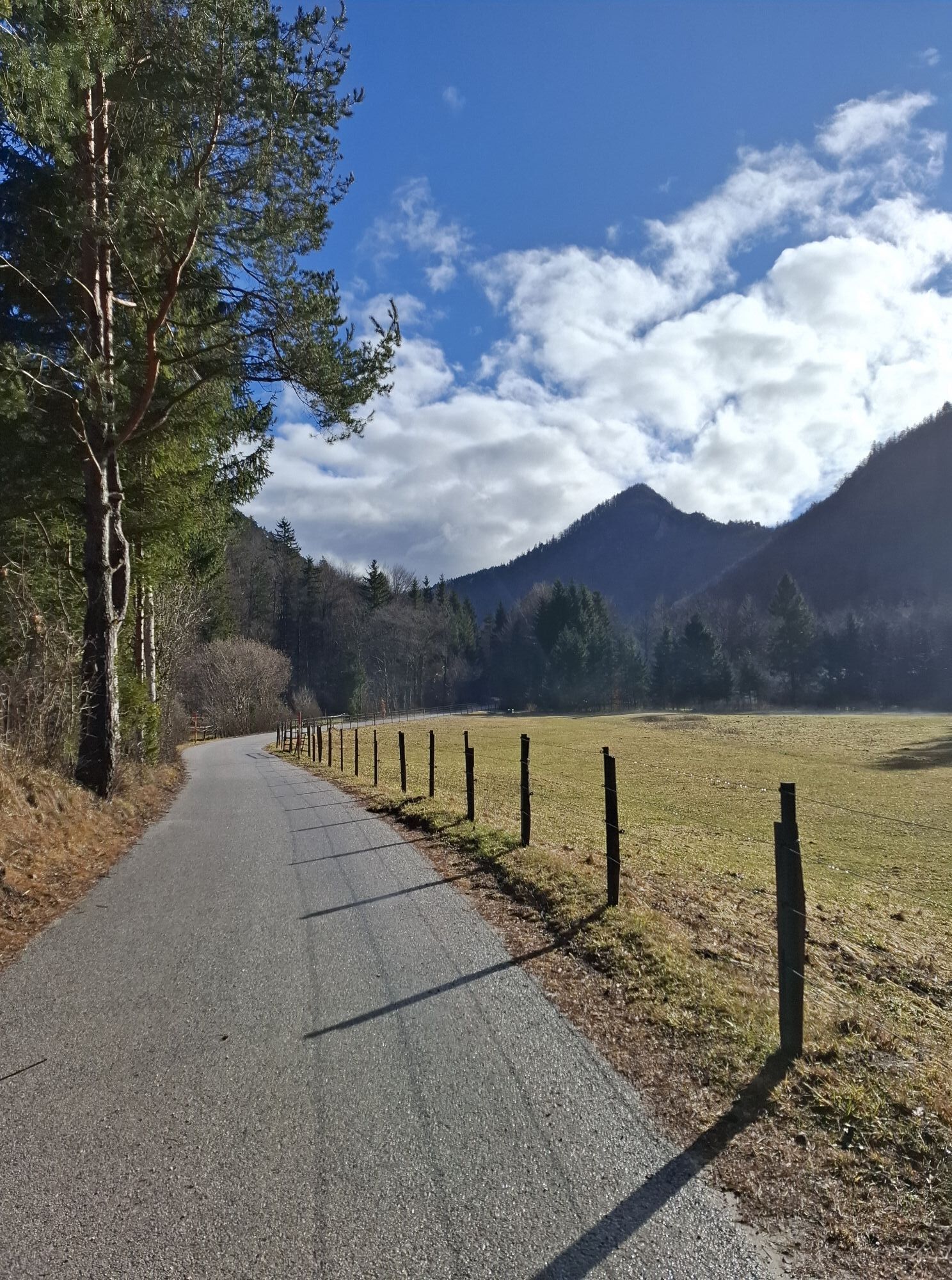
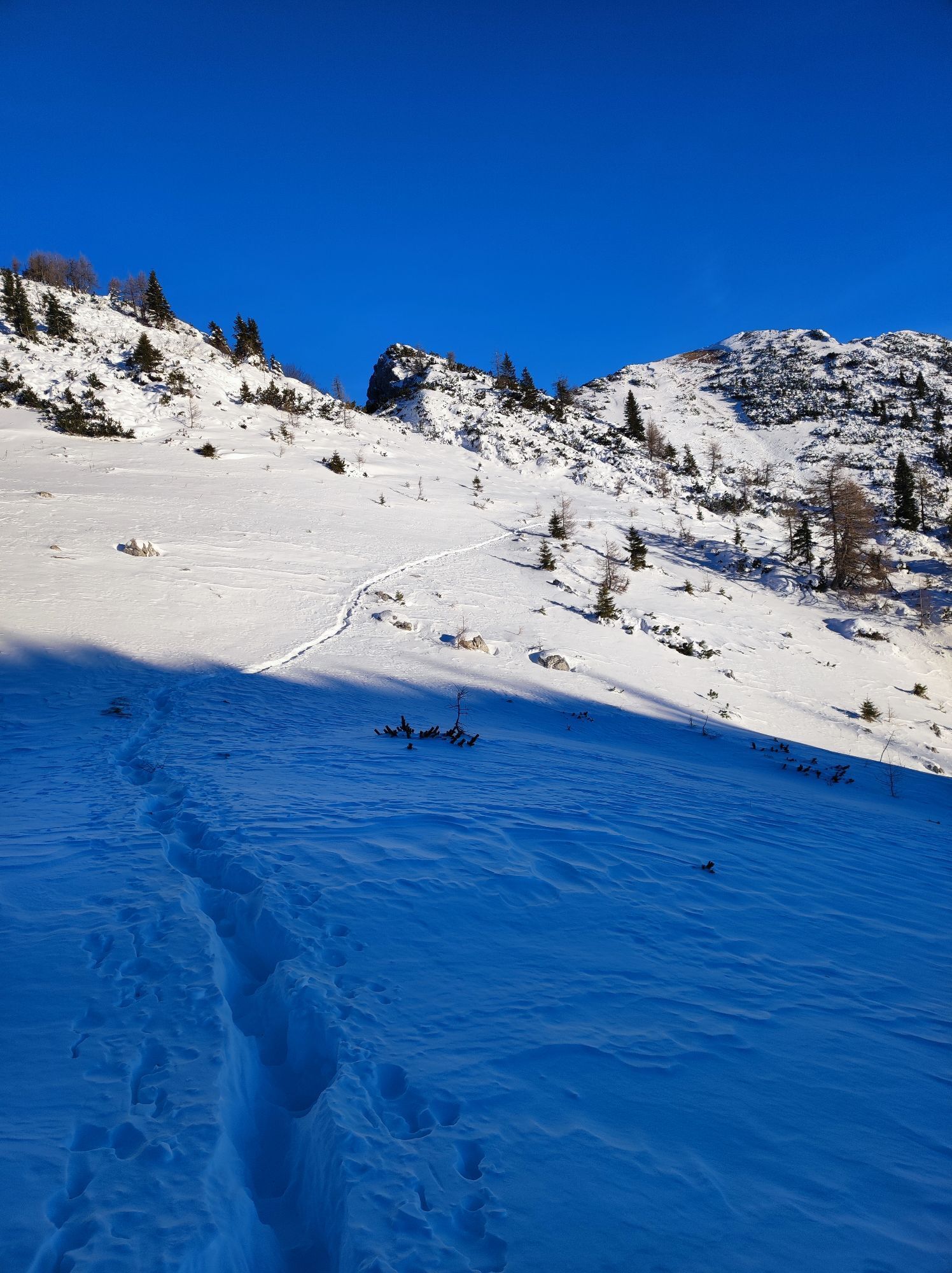
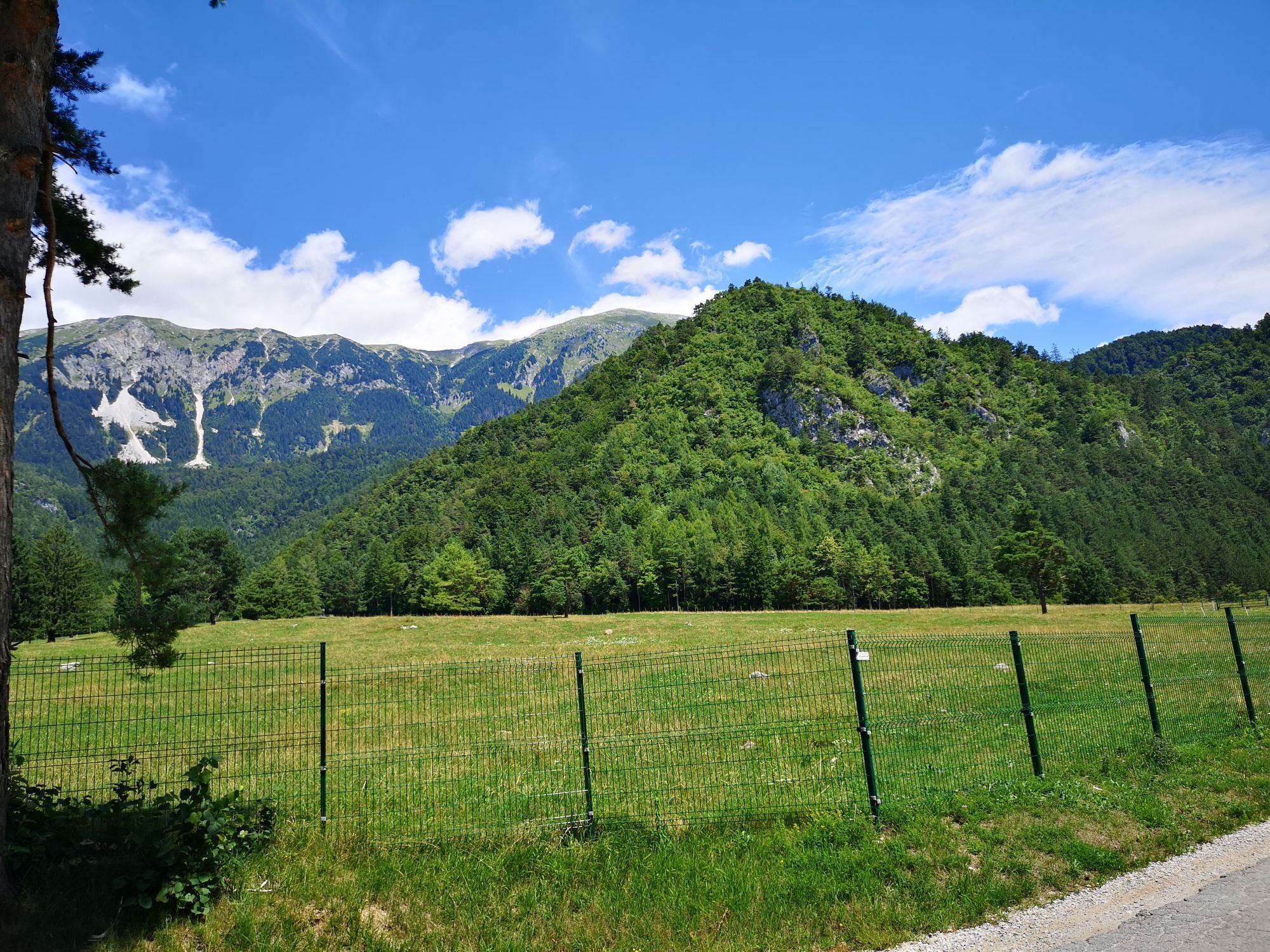
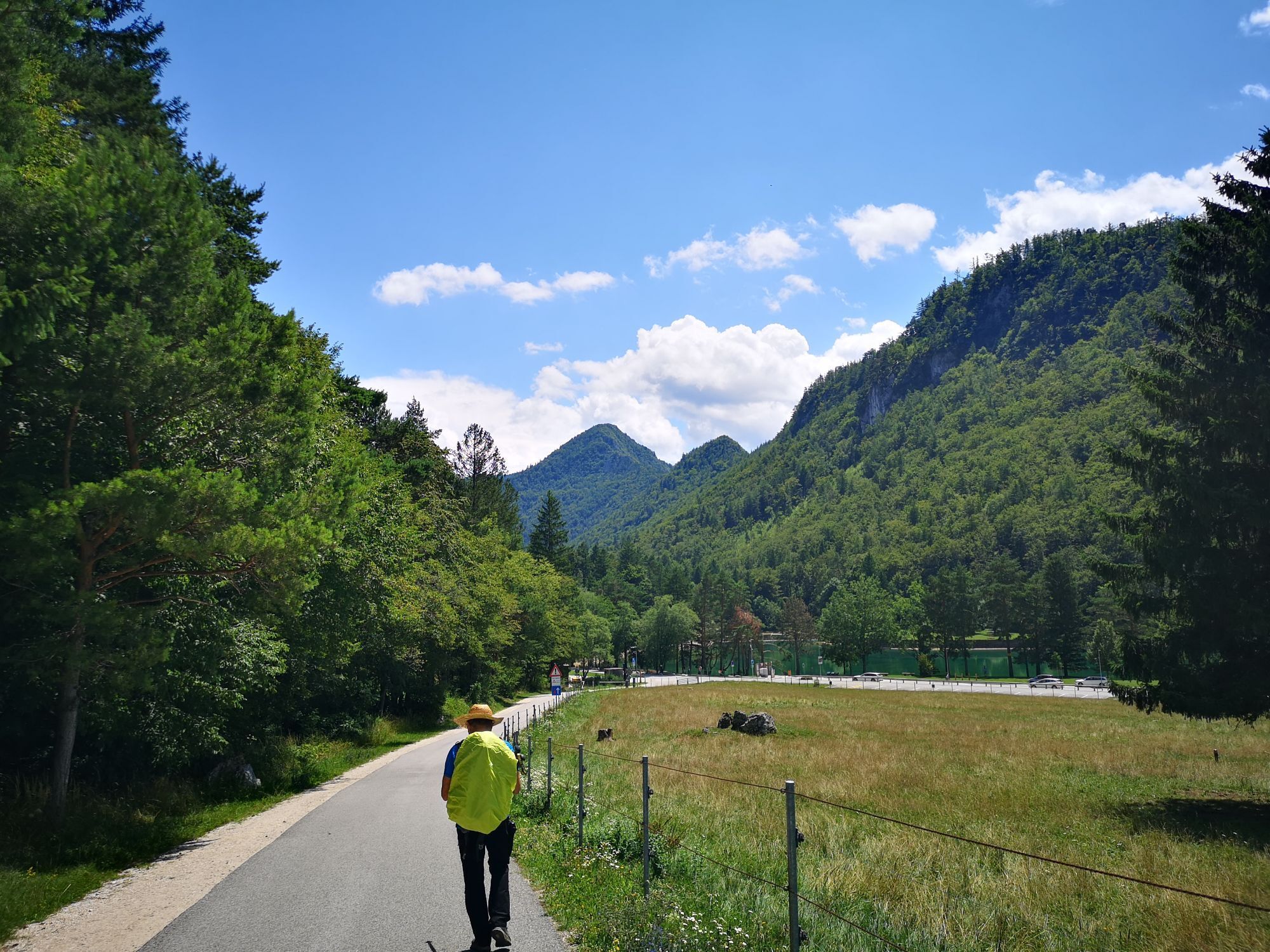
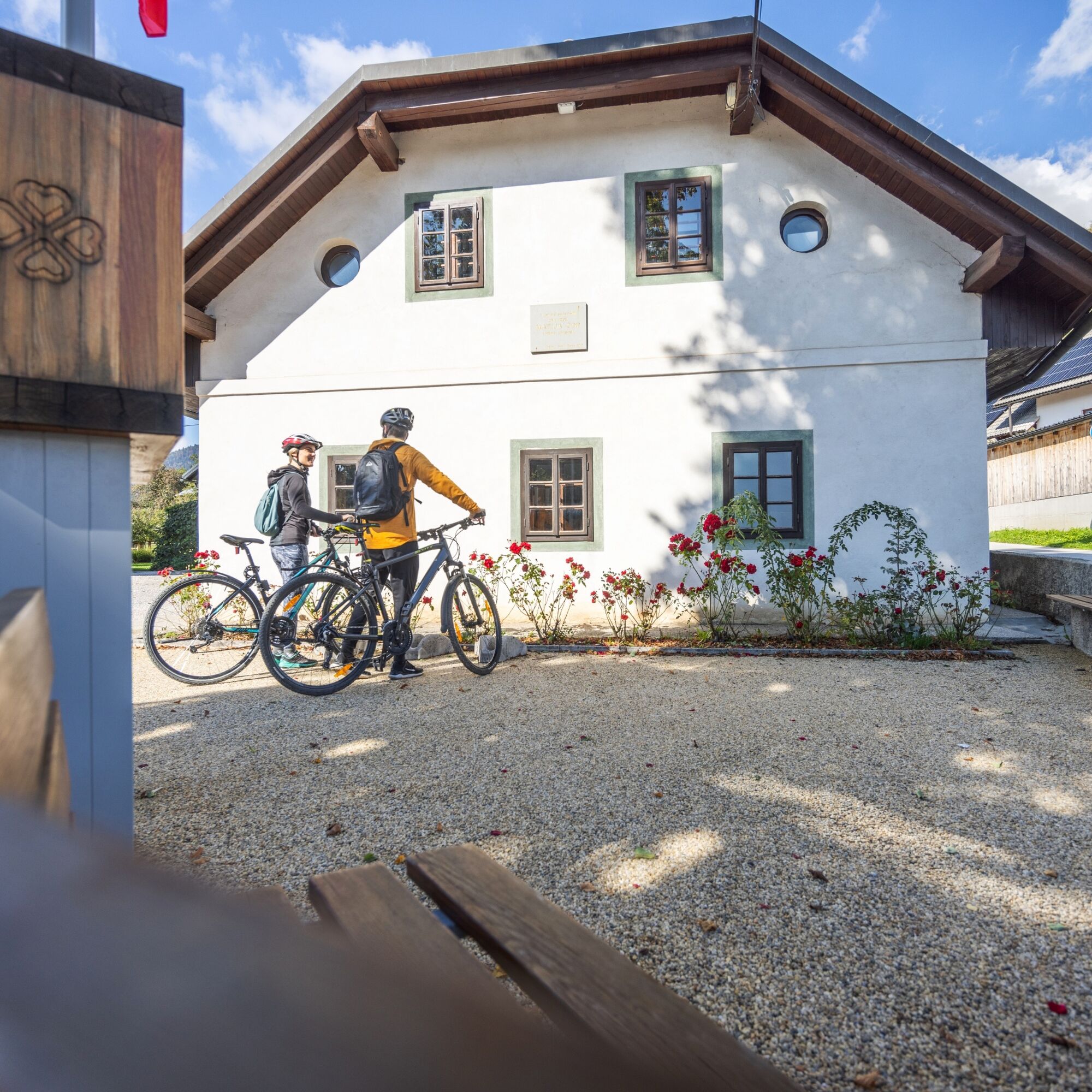
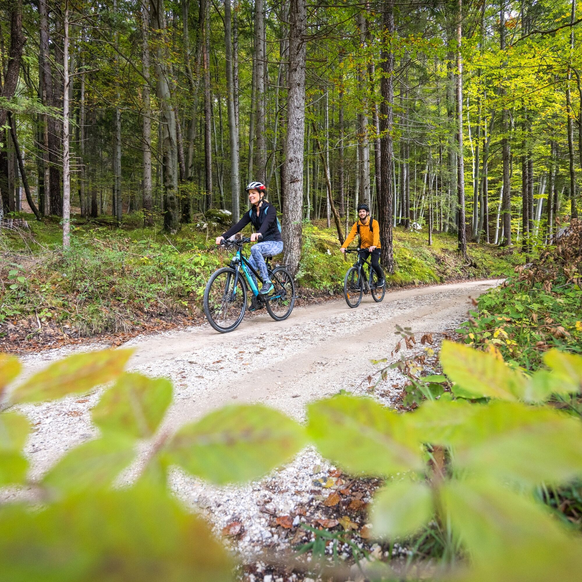
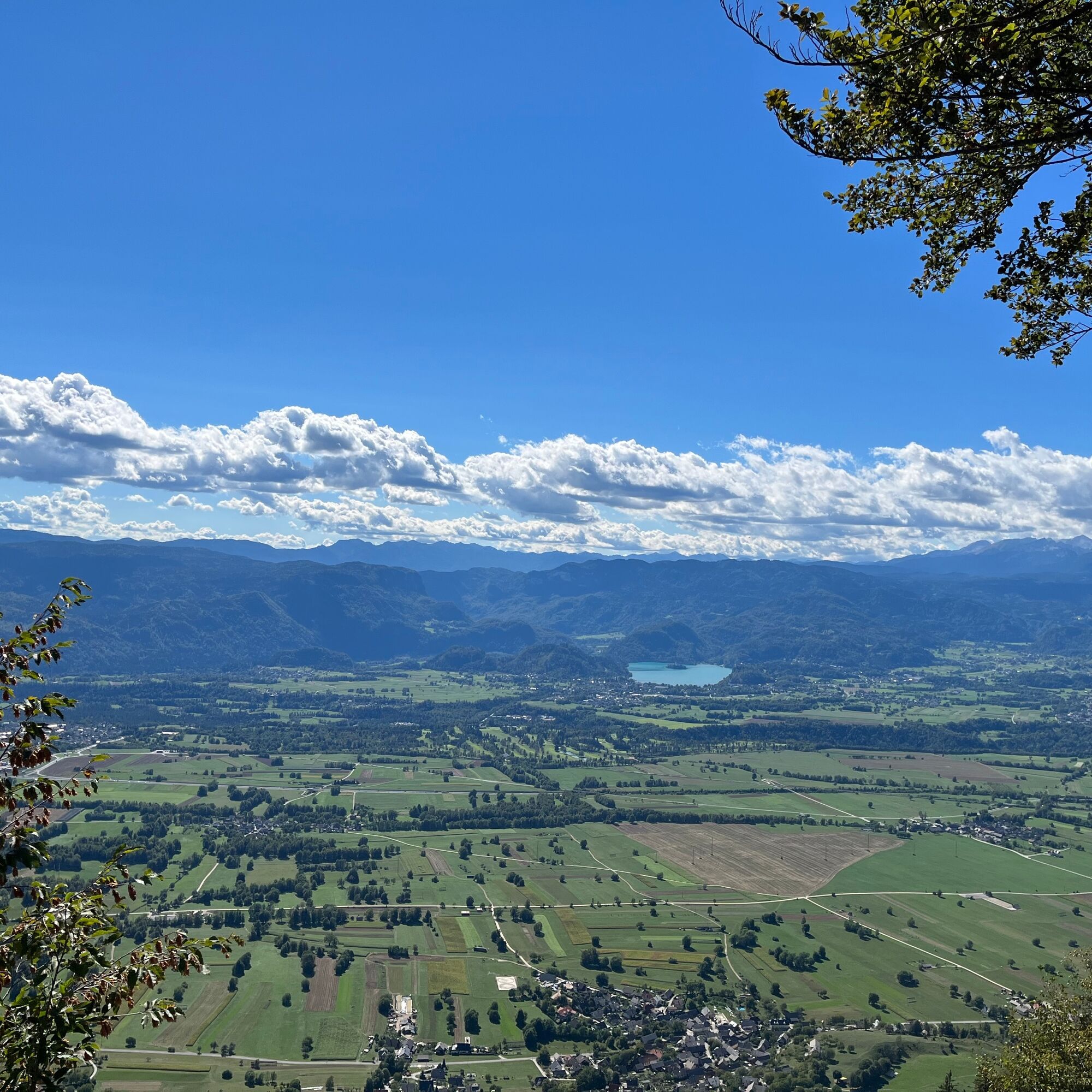
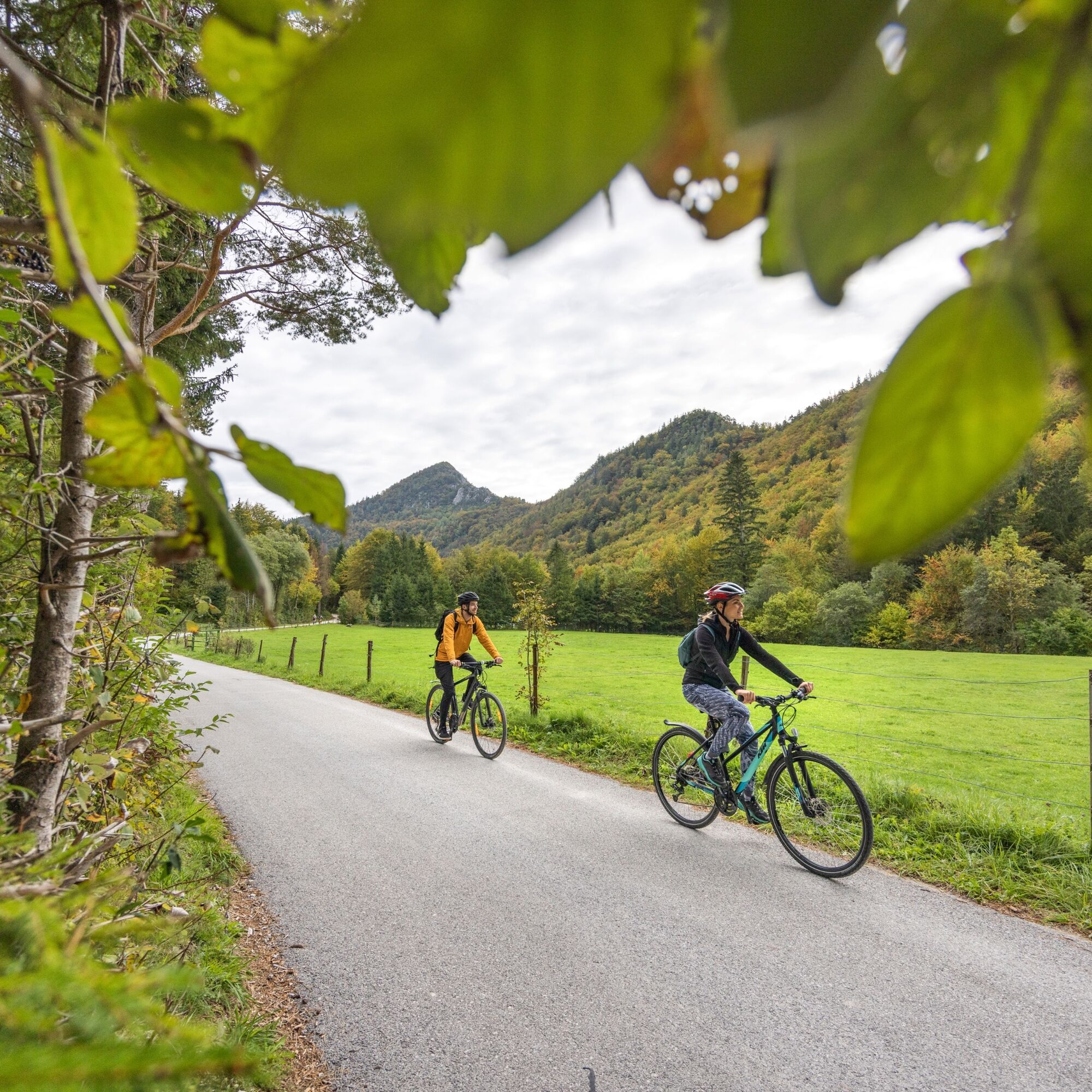
Although at first glance the cycling route seems unremarkable, it will be remembered for its climbs, views, and incredible silence in beautifully preserved nature. We start in front of the TIC or in front of Äop's birthplace in the center of Žirovnica, locally called Kašarija. We head towards the main road through the settlement, where we turn right towards Moste. We cross the railway and continue straight, as indicated also by the red direction signs of the national cycling connection. We go down under the railway and continue straight, not right as indicated by the footpath and the blue sign of the Trans Karavanke ski-mountain bike path, since we are not yet warm enough for the steep climb. After 1.5 kilometers, we turn right towards Završnica. We reach Završniško Lake after a moderate climb. At the end of the parking lot, we continue straight through the Završnica valley. Soon we reach a barrier, which cyclists can pass freely. Along the road, we notice the NOB monument and a sign showing the path to Tito’s Village, the partisan winter camp. After a gentle ascent, a steeper climb begins at 6 kilometers. At the start of the mountain pasture at 7 kilometers, we turn right towards the Sledding hut. Then follows a climb on a little-used forest road through a peaceful forest area up to an altitude of just over 1000 meters, where the road ends. Here we leave the bike and walk up to Smokuški Peak, a viewpoint above SmokuÄ with a beautiful view over the Ljubljana Basin and Jelovica. After descending the same path back to the crossroads, we turn right and ascend past the Smokuška pasture near Žaga to the parking lot below TinÄkova hut. We have finished the climbs; next follows the descent through the Završnica valley to Završniško Lake. Towards Moste, we return on the steeper marked road back to the starting point.


Áno

Obľúbené výlety v okolí
-
4,2
MTB-Tour zur Klagenfurter Hütte
strednáMountainbike 12,6 km -
3,9
Tscheppaschlucht Ferlach
svetloTuristika 5,90 km -
4,8
Through the Tscheppaschlucht into the Loibltal
strednáTuristika 4,58 km -
4,7
Heart trail around Bled lake
strednáTematická trasa 5,93 km -
4,6
Water experience trail Hainschgraben
strednáTuristika 9,23 km -
4,6
Slow Trail Meerauge
svetloTuristika 5,25 km -
4,4
From Bärental to the Kosiak (Klagenfurter Hut)
strednáTuristika 9,67 km -
4,8
KARAWANKEN: Ferlacher Horn vom Gh. "Deutscher Peter"
strednáTuristika 12,0 km -
4,3
Through the Tscheppa Gorge to Bodental
strednáTuristika 10,6 km -
4,6
Sinacher Gupf crossing
strednáTuristika 8,32 km
Turistika a stopovanie


Nenechajte si ujsť ponuky a inšpiráciu na ďalšiu dovolenku
Vaša e-mailová adresa bol pridaný do poštového zoznamu.


