







BOHINJ I2: TIC Ribčev Laz - Pokljuka

Úroveň náročnosti: 3
On the route, you will enjoy riding along the Klodič cycling path through the upper Bohinj valley, then ascend to the highest lying villages in Bohinj. These are Koprivnik and Gorjuše, which are especially...
On the route, you will enjoy riding along the Klodič cycling path through the upper Bohinj valley, then ascend to the highest lying villages in Bohinj. These are Koprivnik and Gorjuše, which are especially known for pipe making. The path will take you through the mighty Pokljuka forests all the way to the Kranjska dolina mountain pasture, where you can join the Juliana Bike trail.

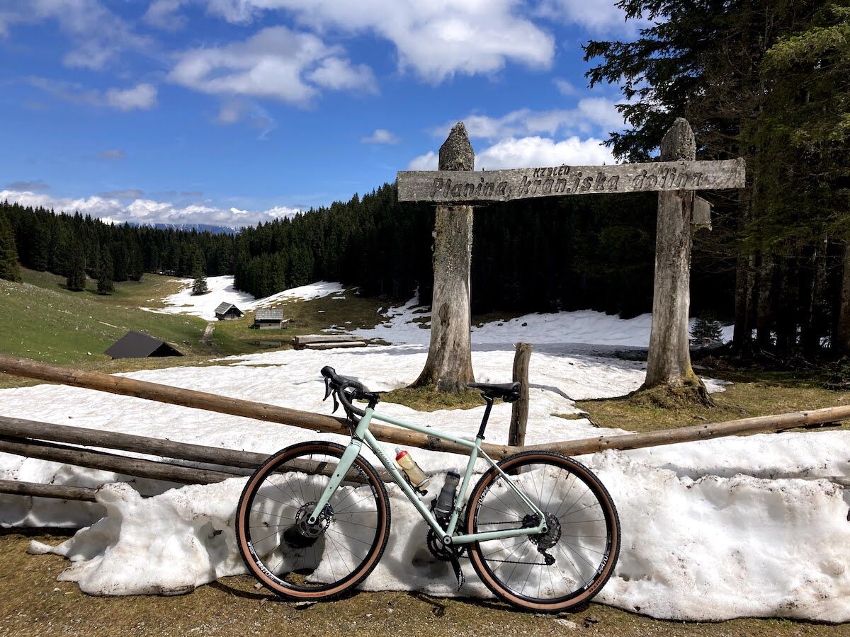
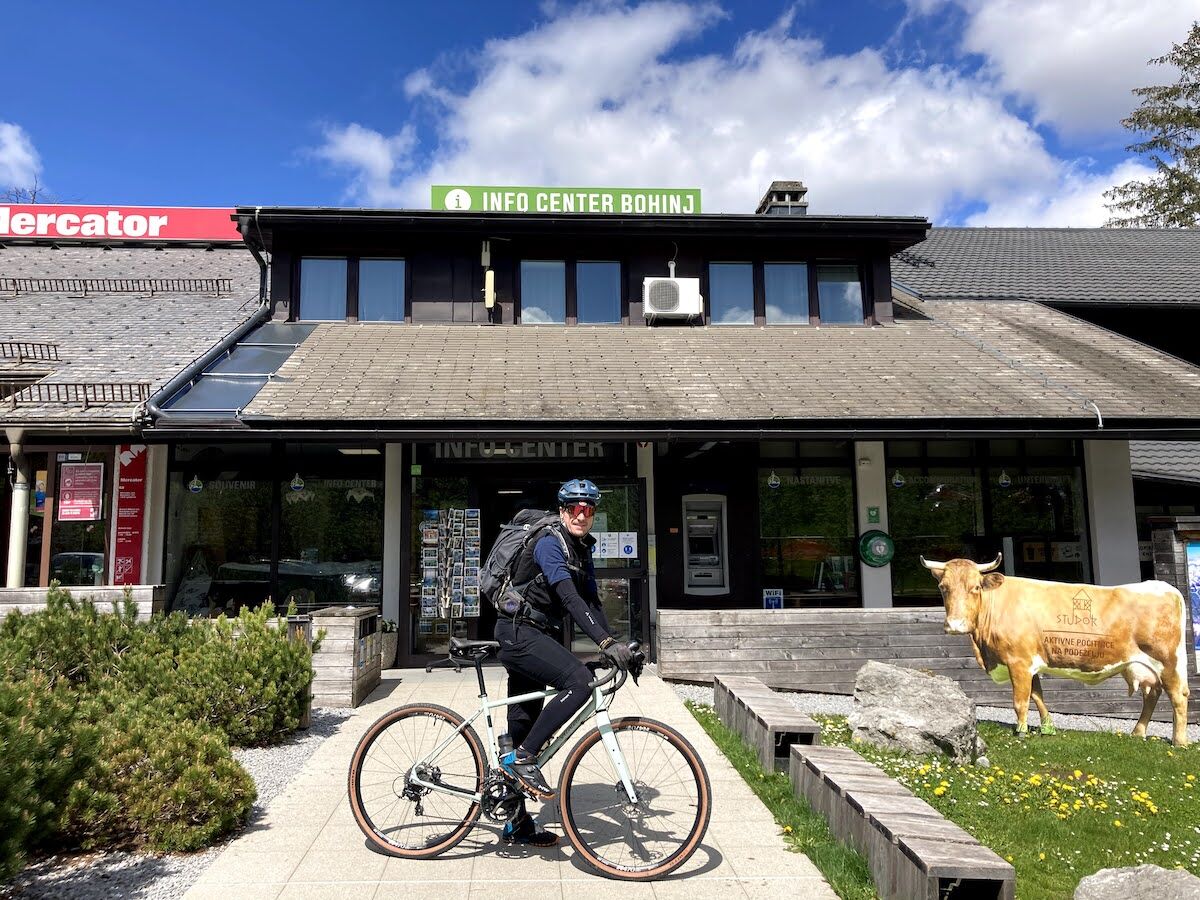
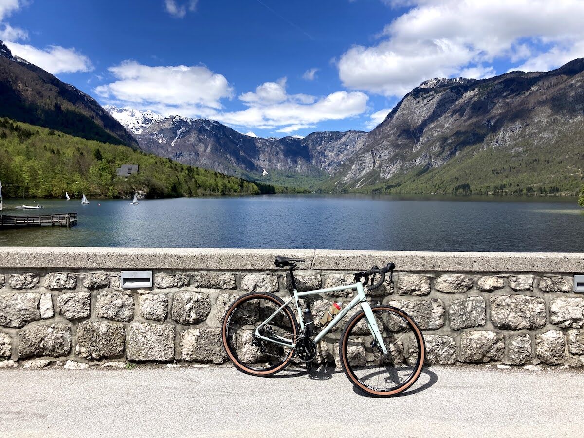
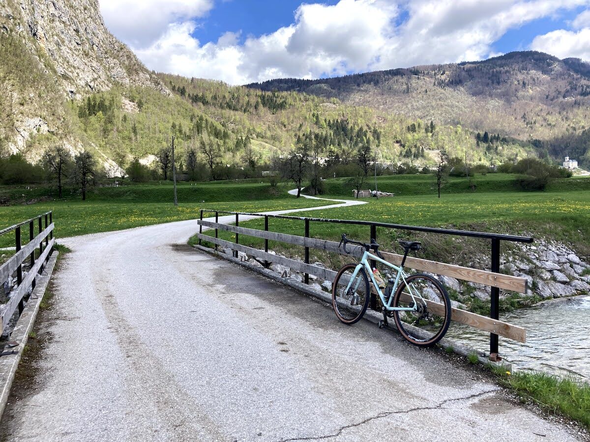
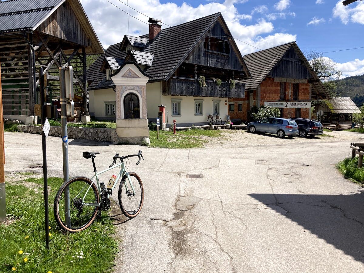
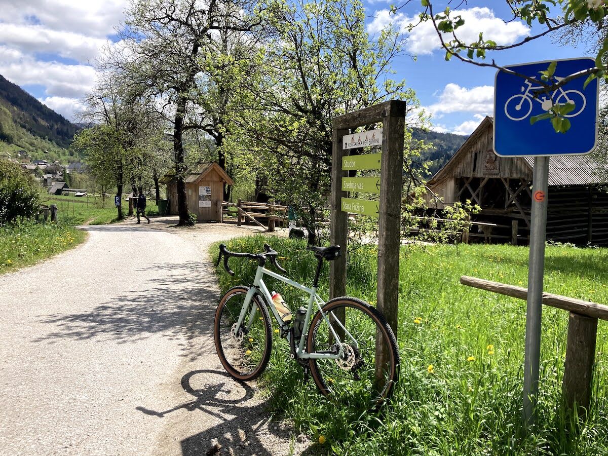

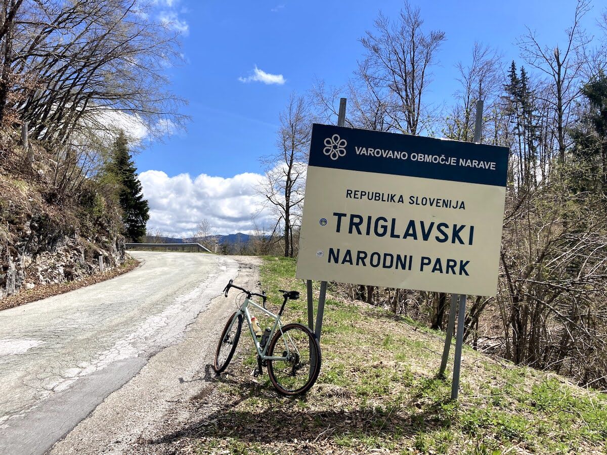
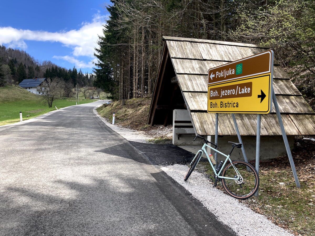
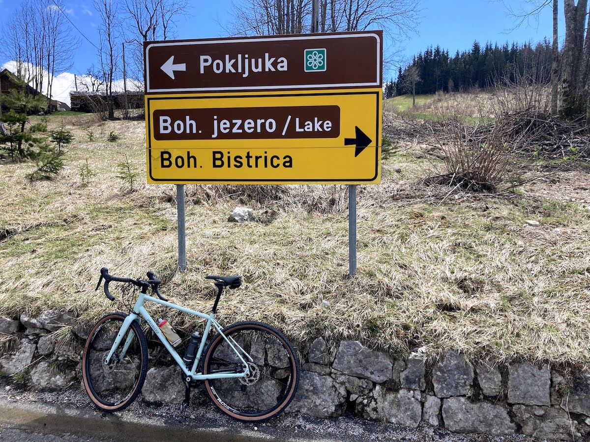
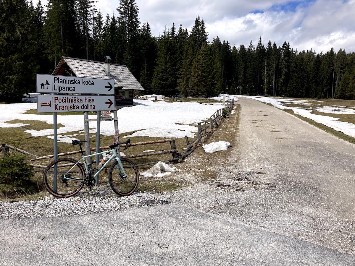
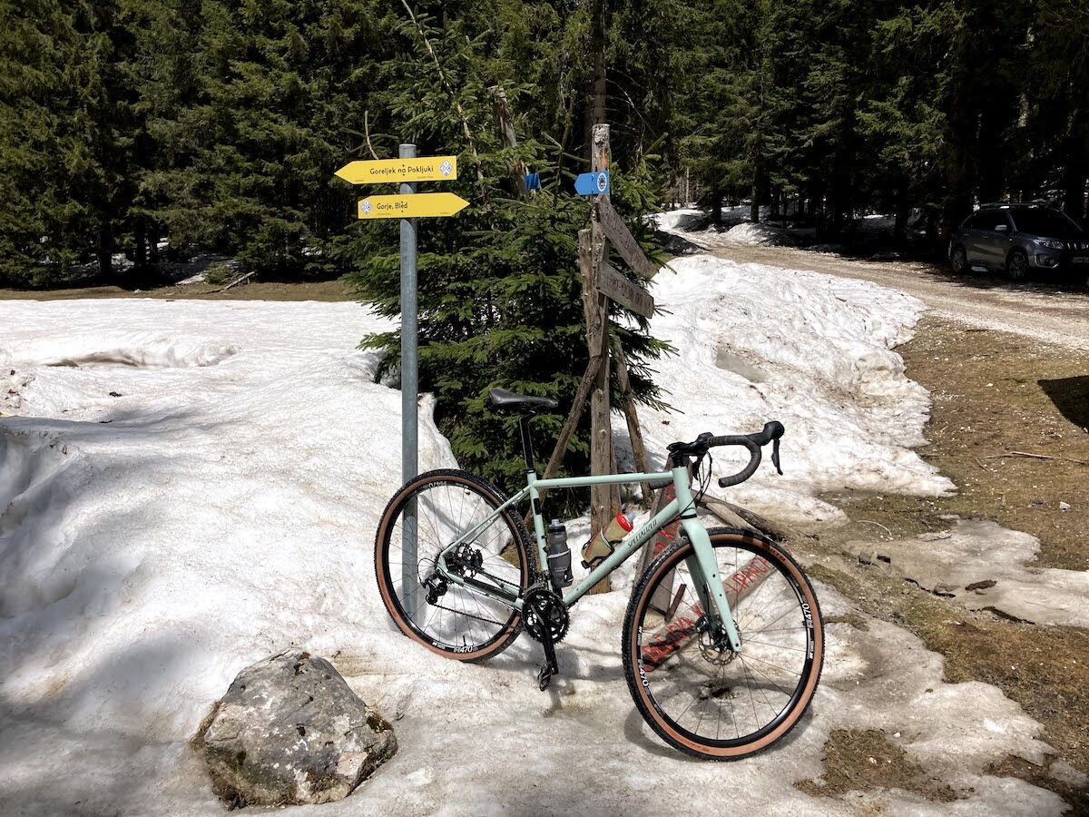

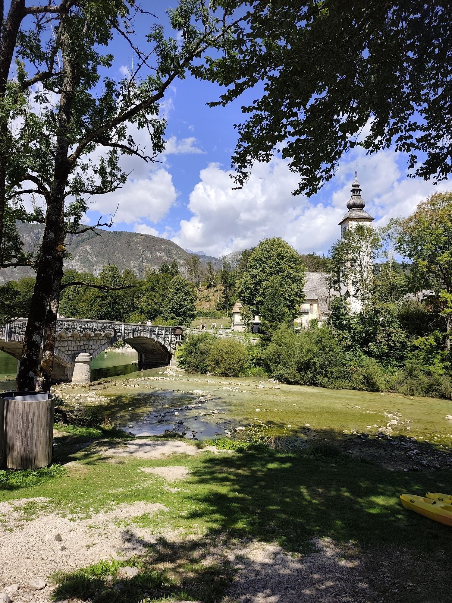
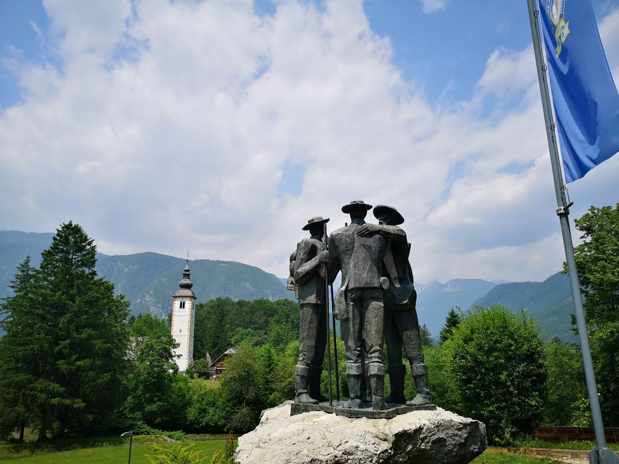
We start the route in the village of Ribčev Laz in front of the Bohinj Info Center. From the parking lot in front of the info center, turn left towards Lake Bohinj. When you reach the bridge, turn right and cross it. On the right, you will pass the famous Church of St. John the Baptist. Continue along the road to the village of Stara Fužina and at the first intersection, turn right over the bridge. After crossing, turn left onto the cycling path and follow it continuously. Leave the village of Stara Fužina on your left and continue cycling through the upper Bohinj valley. Before a short climb, cross the main road through the valley and then proceed through the village of Studor, located below the mountain of the same name. In the village by the chapel, turn right and after a few meters turn left past the Mrcina ranch (on the right). A short descent follows and another crossing of the main road, then over fields and meadows to the Senožeta ski resort. Leave the ski resort on your right and continue cycling towards the village of Češnjica. Shortly before the village, you will notice direction signs for Senožeta and Brod; we keep left and join the main road on the left side in the village. Proceed straight through the village and further towards the village of Jereka. At an intersection, turn left (direction: Pokljuka, Koprivnik, Jereka). Pass the Church of St. Margaret (on your left) and after crossing the bridge over the Jerečica stream begin the ascent. To the village of Koprivnik awaits approximately 5.5 km of easy climbing. Upon reaching the village of Koprivnik (on your left), continue straight towards Pokljuka. The beautiful path soon leads to the village of Gorjuše. The village is quite spread out, and we stay on the main road continuously, following it. Leave Gorjuše on your left and continue towards Pokljuka. The path soon starts climbing. About 3.5 km of ascent follows, then we begin a gentle descent through beautiful forests. On the left during the descent, you can spot the Šijec peat bog. After a few kilometers, you reach the intersection at Mrzli Studenec, where you turn left (direction: Rudno Polje) and after a few hundred meters leave the gravel road, then at the second junction turn right (direction: Lipanca mountain hut, Kranjska dolina holiday home). About 3 kilometers of gentle climbing on gravel remain. After 2.5 km, you arrive at the Kranjska dolina mountain pasture (on the right) from where the Karavanke mountains can be nicely seen on a clear day. From this place, only a few hundred meters separate us from our destination. When you reach the intersection for Zajavornik mountain pasture (left) and Medvedova konta, Klek (right), you have reached the destination and can continue on the Juliana Bike trail.
technically flawless bike (gravel, mountain, trekking or e-bike, road bike (note: the last 3 km of the route are on gravel roads)
helmet, gloves, sunglasses
food and drinks from your backpack
spare inner tube, pump, multitool, first aid kit
personal identification, health insurance card
The route runs partially along the cycling path from Bohinjska Bistrica and then along the main road, so caution while riding is advisable. From Mrzli Studenec on Pokljuka onwards, the path is gravel, increasing the risk of slipping somewhat. Forestry machinery may be encountered on the forest road, so caution while riding is advisable. Be especially careful on the return towards the village of Jereka if returning to the starting point the same way.
IMPORTANT: The Pokljuka plateau is crisscrossed with forest roads, rails, intersections, and junctions and is challenging to navigate. For easier orientation, we recommend using a GPS track on your phone or navigation device and a map with properly marked paths.
3
Webové kamery z prehliadky

Obľúbené výlety v okolí
-
4,6
Heart trail around Bled lake
strednáTematická trasa 5,93 km -
4,9
Krma - Triglav
ťažkéHorská turistika 18,6 km -
4,7
Viševnik 2050m
svetloHorská turistika 6,97 km -
4,9
Triglav
ťažkéVysoké turné 12,1 km -
4,5
Vintgar Gorge
strednáTuristika 7,69 km -
4,5
Savica Wasserfall
strednáTuristika 1,89 km -
4,5
Roundthelake
svetloTuristika 11,4 km -
4,2
Slap Slavica
strednáTuristika 9,62 km -
4,9
Mala Osojnica, Bleder See
svetloTuristika 2,68 km -
4,6
Rudno polje-Viševnik
strednáZimná turistika 7,15 km
Turistika a stopovanie


Nenechajte si ujsť ponuky a inšpiráciu na ďalšiu dovolenku
Vaša e-mailová adresa bol pridaný do poštového zoznamu.





