






Cycling path Kranj - Preddvor - Kranj

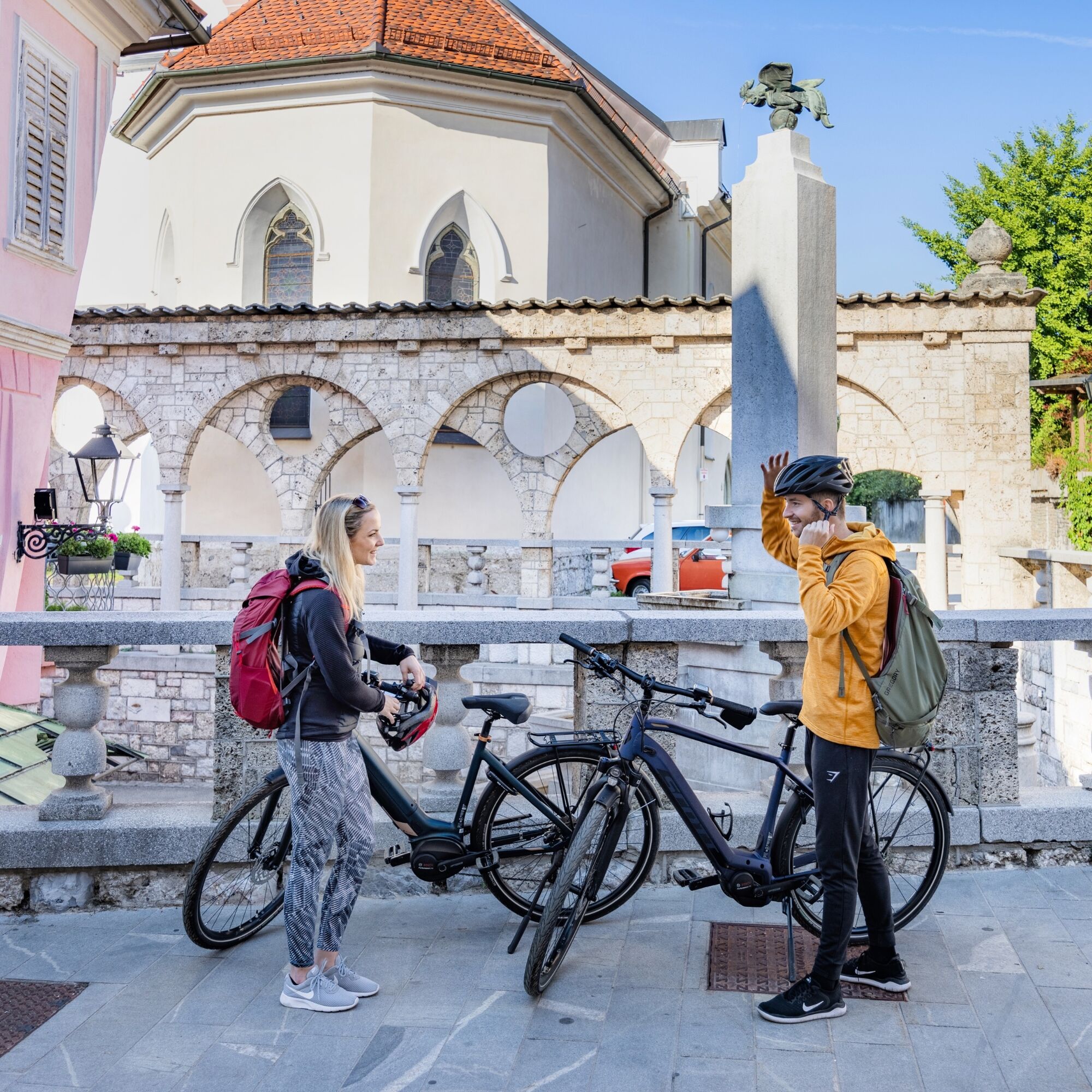
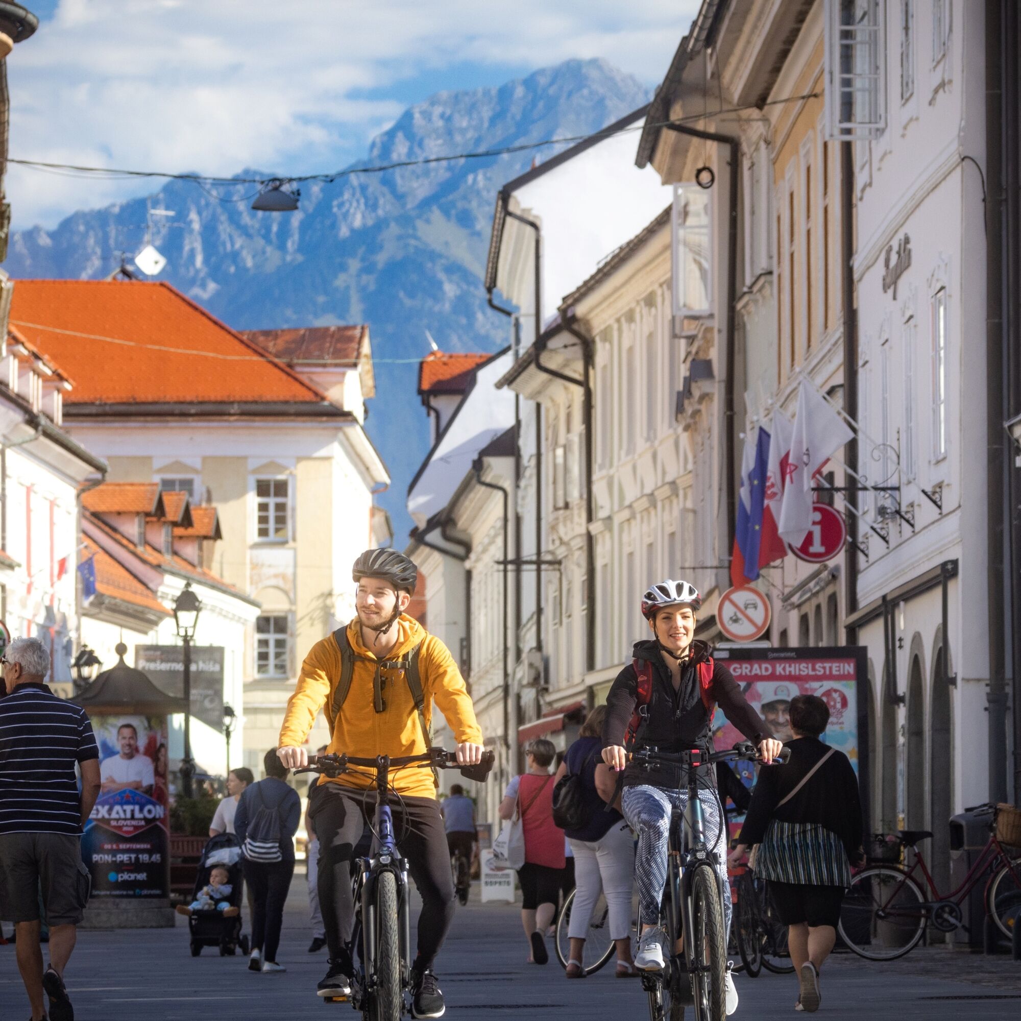
The cycling route starts in front of the city fountain at the Main Square, in front of the TIC in the centre of Kranj. First, we ride to the end of the town at Pungert and along the side street to Maistrov...
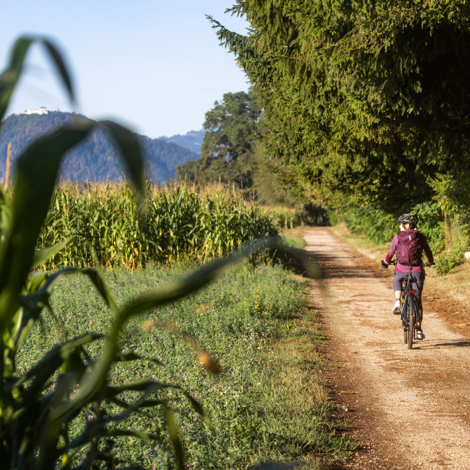
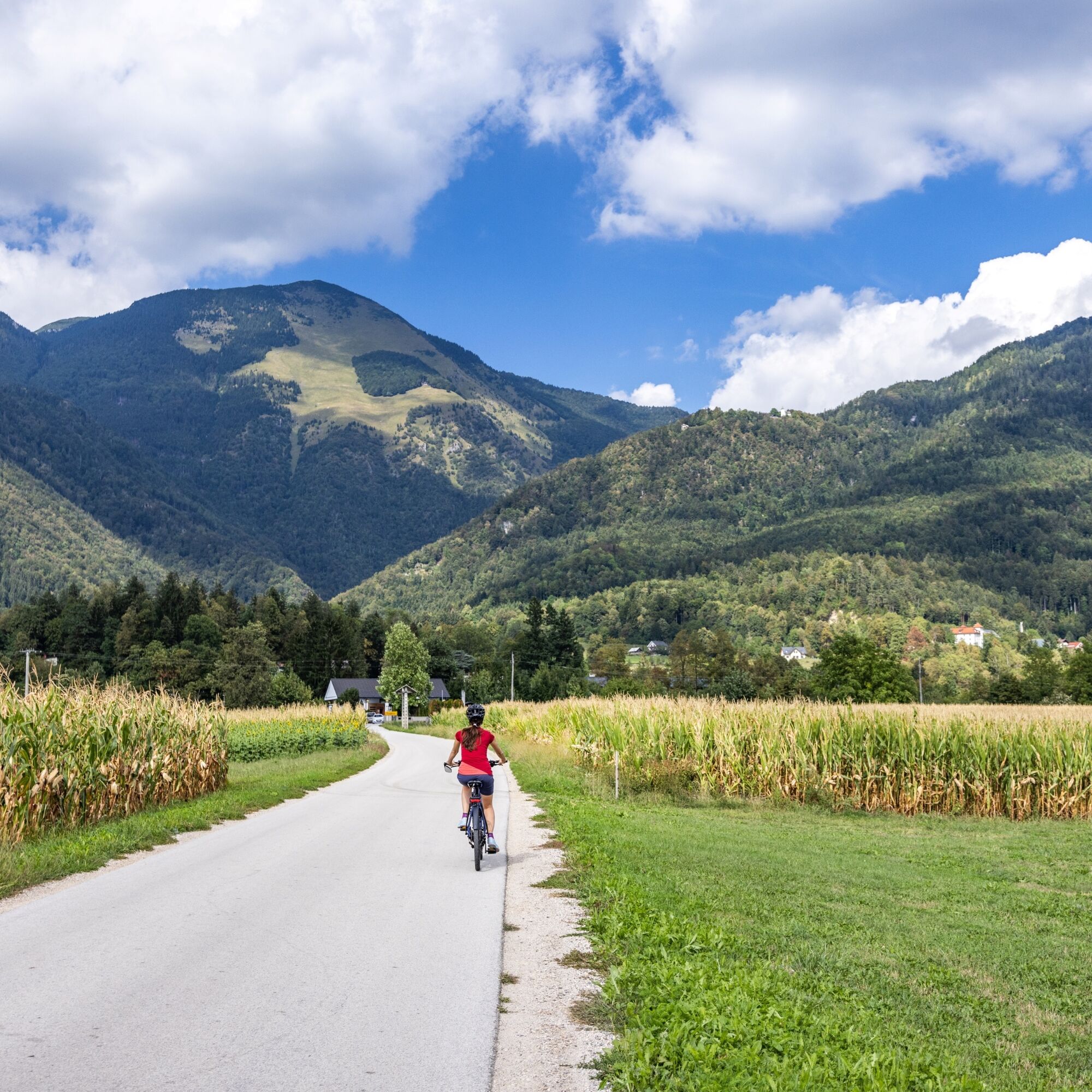
The cycling route starts in front of the city fountain at the Main Square, in front of the TIC in the centre of Kranj. First, we ride to the end of the town at Pungert and along the side street to Maistrov trg. We turn right past the City Library, Prešeren Grove, continue towards the sports park and further towards Rupa, where at the top of the settlement we turn right into the forest. We descend under the motorway and steeply climb to Ilovka. We continue on a field road towards the Brdo estate. At the main road, we turn right and in Predoslje just before the Krištof Inn turn left. Across the field, we reach Suha pri Predosljah, where at the beginning of the village we turn right. After 300 metres, we turn right again. Soon we switch to a gravel road leading to the Kokra river, which we cross and continue along the educational path on the left bank of the Kokra. When we return to the asphalt road, we turn left towards Breg ob Kokri and cross the field, with a view of HudiÄev boršt, towards Preddvor. If there is enough time, we also stop at Lake Ärnava, then continue the route to Spodnja Bela. Before Kokrica, we make another stop at the Bobovški lakes, then return to the main road, cross it, and past the outdoor gym and the Brdo estate head to the cycle path. Returning to Kranj, we pass by the barracks.


Áno
Easy cycling path suitable for trekking bikes.
Obľúbené výlety v okolí
-
3,5
Bad Eisenkappel: Vellacher Kotschna
Turistika 12,1 km -
4,7
Via ferrata Češka koča
Via ferrata 2,10 km -
5,0
Grintovec
strednáTuristika 16,3 km -
4,7
Grintovec
ťažkéTuristika 12,4 km -
4,5
Überquerung der Steiner Alpen mit Grintovec 2.558m, Dolgi hrbet 2.473m, Skuta 2.532m, Turska Gora 2.251m, Planjava 2.392m & Ojstrica 2.350m
strednáVia ferrata 27,5 km -
5,0
Steiner Alpen - Grintovec 2.558m - Anspruchsvolle Überschreitung
ťažkéHorská turistika 18,5 km -
Češka koča mountain hut
strednáTuristika 4,82 km -
3 Tage in den Steiner Alpen
ťažkéTuristika 14,4 km -
Storžič
ťažkéHorská turistika 6,22 km -
Loiblpass and Seebergsattel
ťažkéCestný bicykel 138,0 km
Turistika a stopovanie


Nenechajte si ujsť ponuky a inšpiráciu na ďalšiu dovolenku
Vaša e-mailová adresa bol pridaný do poštového zoznamu.





