







RADOVLJICA E1: TIC Radovljica – TIC Bled
Úroveň náročnosti: 2

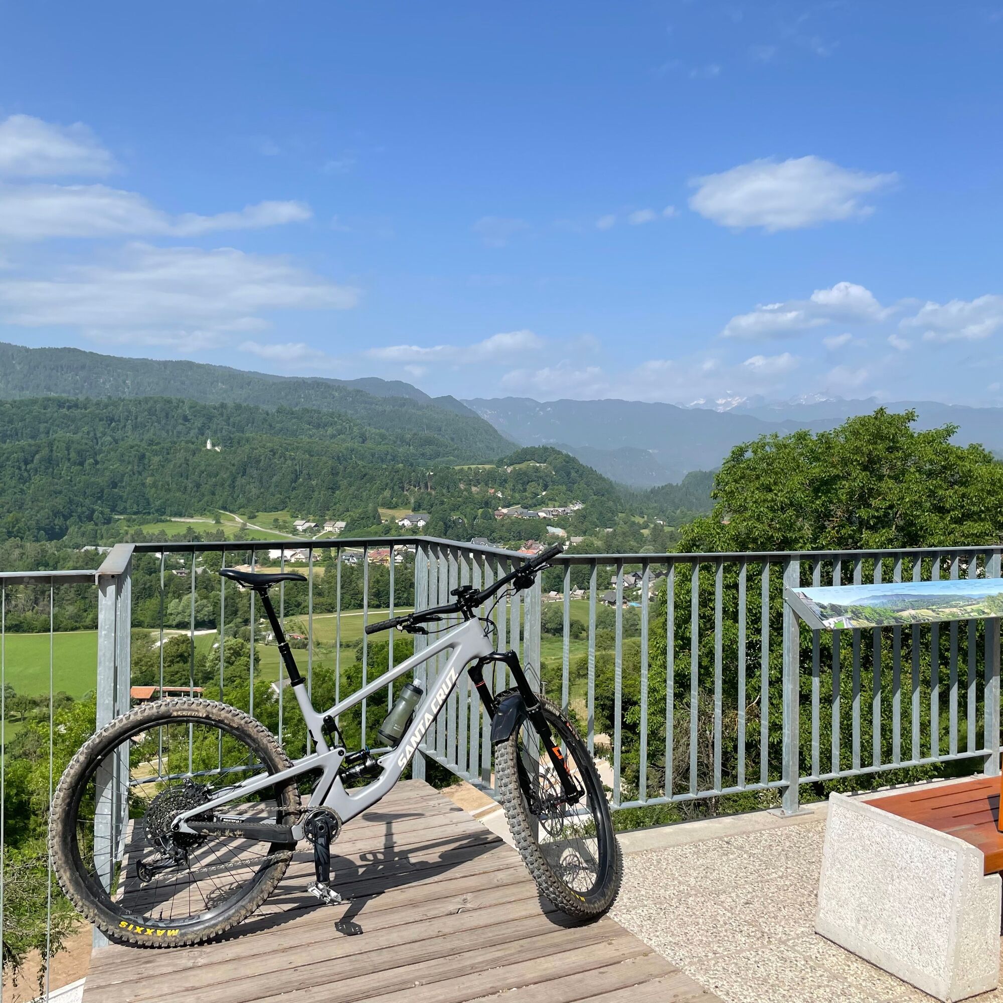
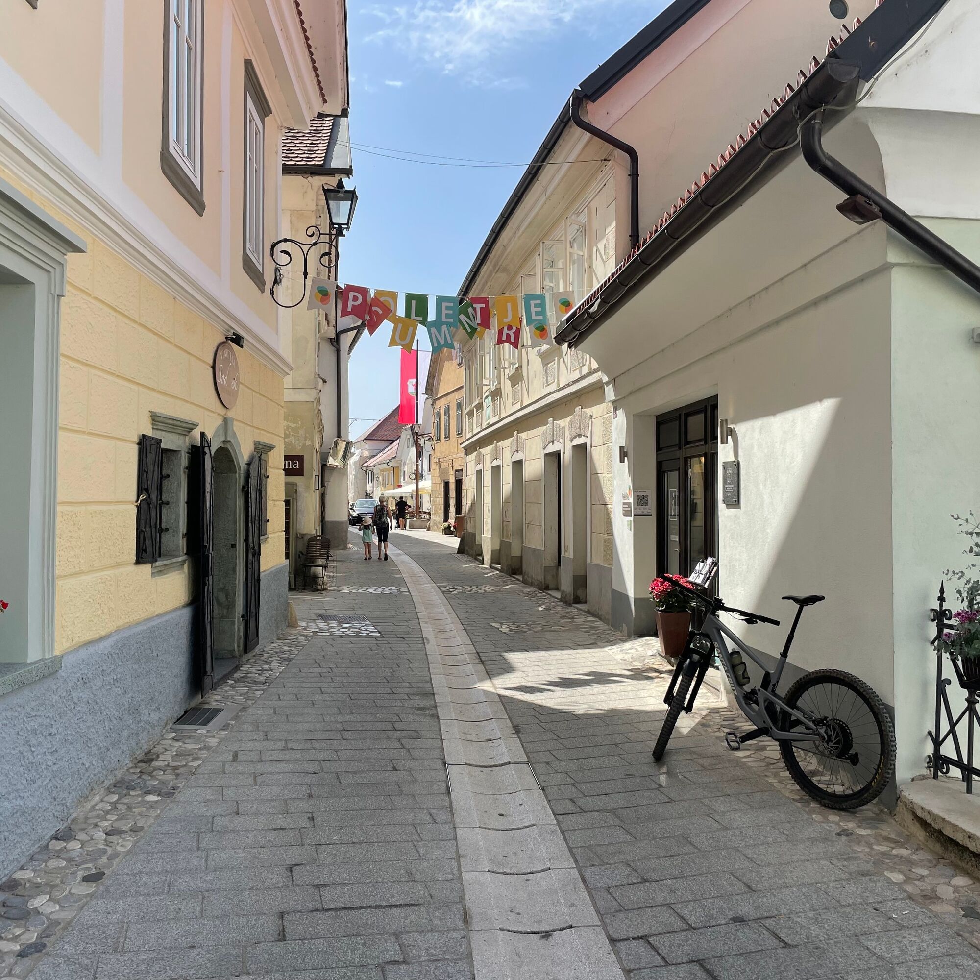
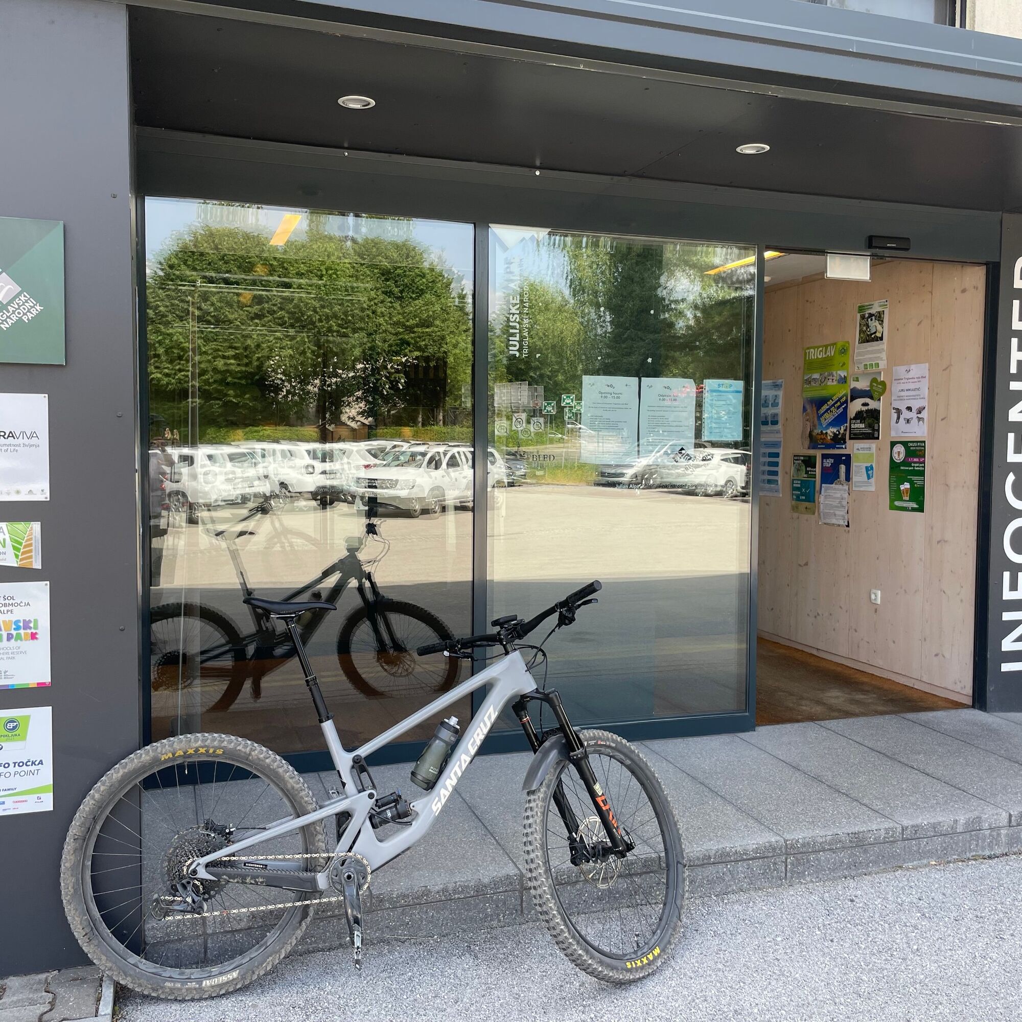

From in front of TIC Radovljica, set off along a short narrow street to the picturesque Linhart Square, located in the old town centre of Radovljica. Cycle straight through the square (or enjoy a morning coffee in one of the cafés), then turn right onto a short street leading to a beautiful viewpoint by the former city gate of medieval Radovljica. Turn right and descend along the road under the old city walls. Cross the railway overpass and continue downhill towards the river Sava.
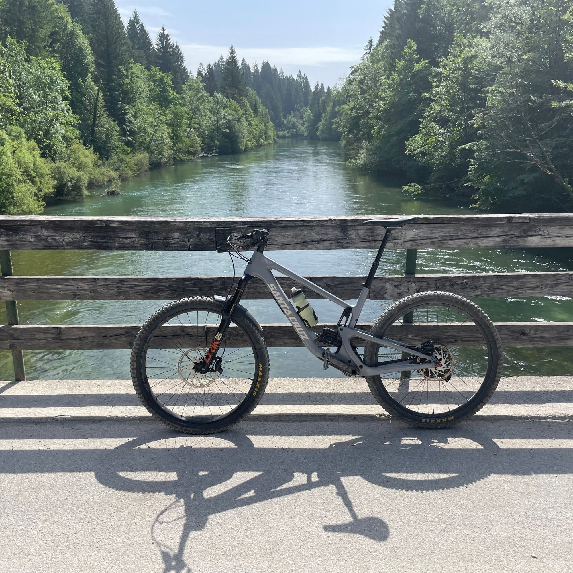
After about 600 metres, you reach the main road. Join it carefully, turn left and descend towards the bridge over the river Sava. As soon as you cross the bridge and arrive at Lancovo, turn right and continue along the road. Ignore the road that goes left. When you reach a fork, take the upper/left road (signposted Bled). The road climbs slightly into the forest above the right bank of the Sava (you are near the confluence of the two "sister" rivers, the Sava Bohinjka and the Sava Dolinka) and the asphalt changes to gravel. If you are lucky and don't encounter cars, you can enjoy fantastic cycling through the shady forest above the pristine clear flow of the Sava Bohinjka.
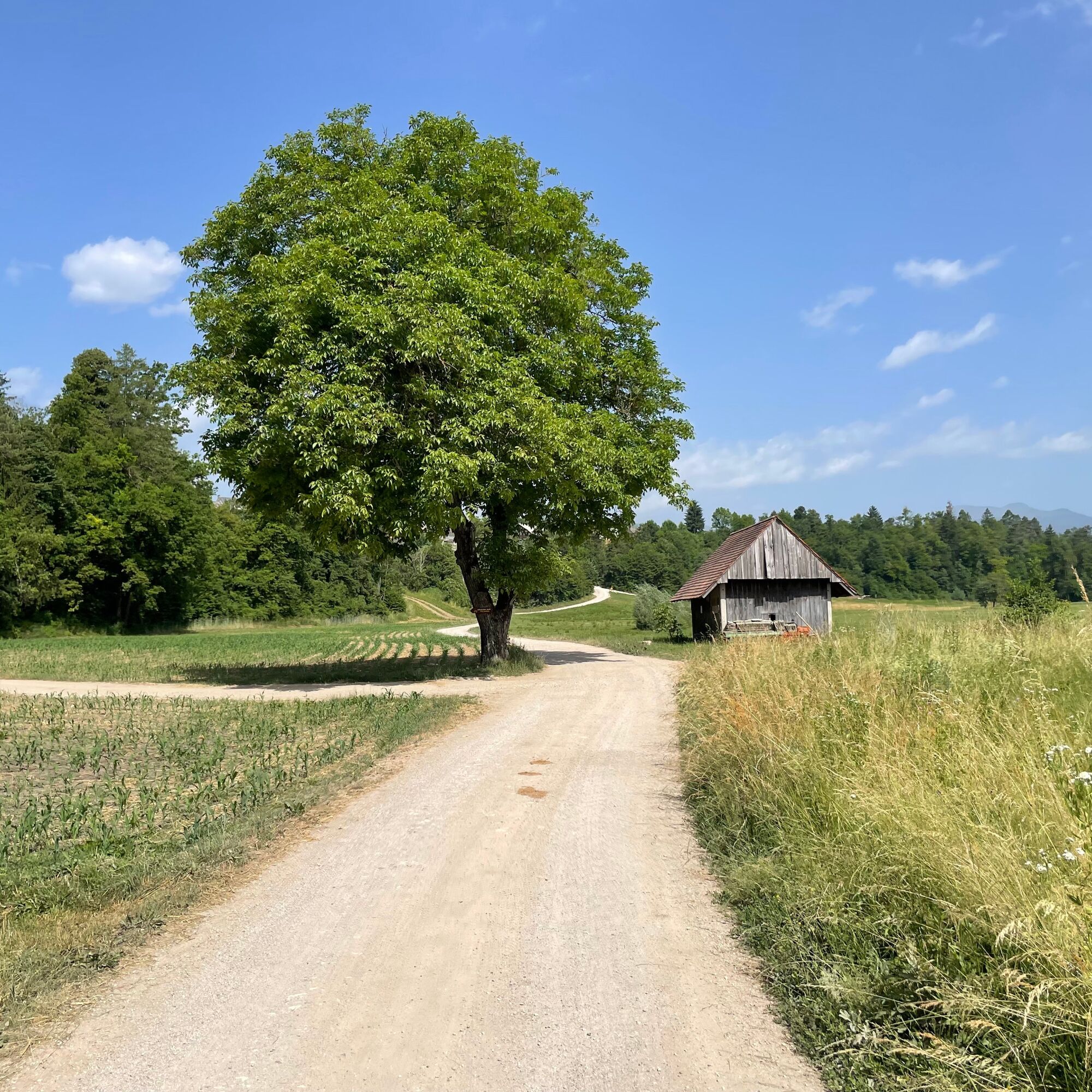
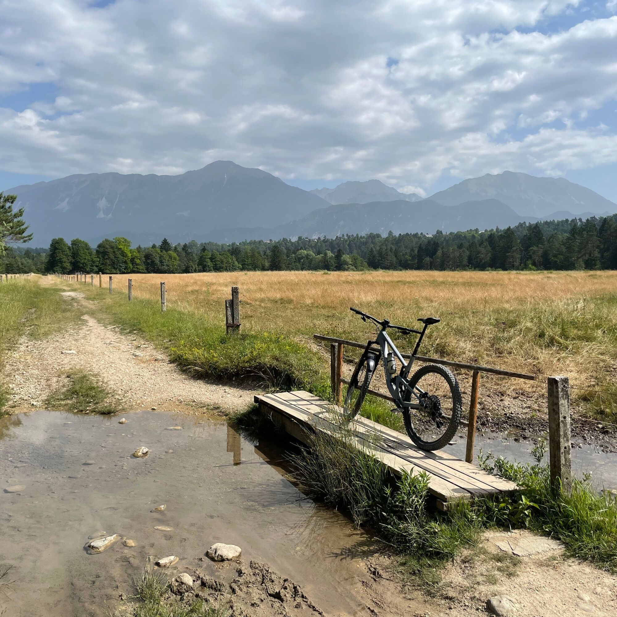
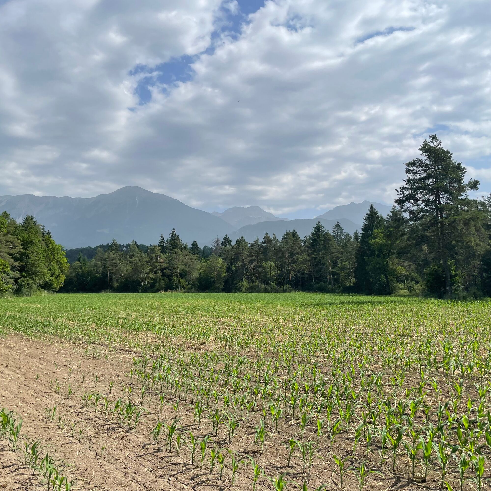
The gravel path leads you to a bridge over the Sava Bohinjka, which you also cross. As soon as you cross the river, take a sharp right onto a steeply rising forest track. Ride past a barrier uphill heading east. After a few minutes, you reach a smaller pass offering beautiful views of the river and the Jelovica plateau. Stay on the road and descend northwards along the gravel path. After a short descent, the path levels out and a field track continues along a wide field. After crossing a small creek, continue straight north through wide pastures with beautiful views of the Karawanks.
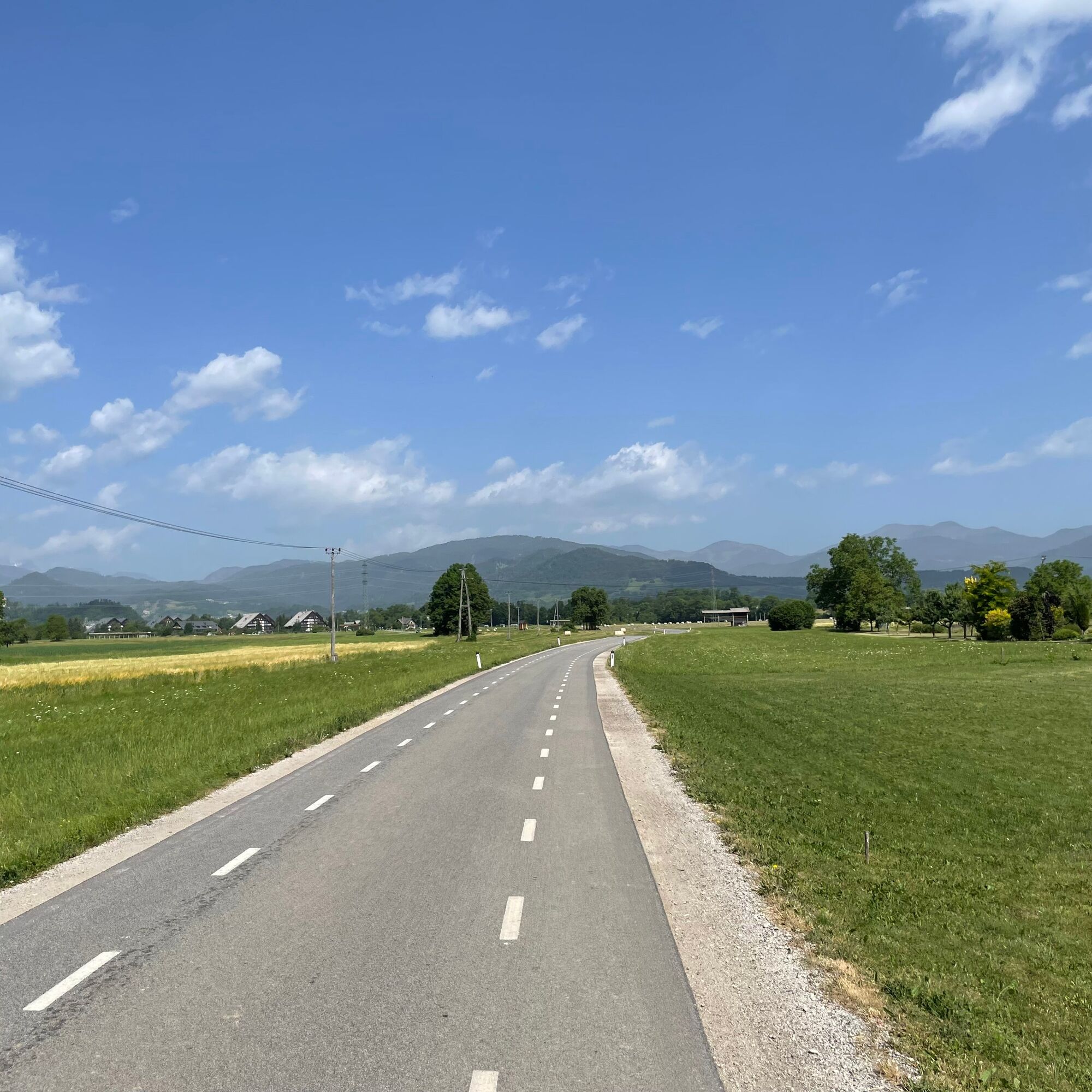
Along the way, you reach the Sava Dolinka and a private wooden bridge (the Šobec campsite is on the other side of the bridge). Cycle on along the river, where the forest track gradually widens into a gravel road and then begins to climb into the forest. On the first river terrace, you are surrounded by meadows and wetlands with diverse vegetation. Continue along the gravel road (signposted Bled). You cross a large meadow, then the road enters the forest, avoiding a farm to the right-hand side, and continues straight across meadows. At the end of the large meadow, the road turns right and climbs to the next river terrace. From here, cycle westwards to a private road leading to a farm. At the fork, turn right (straight ahead) and ignore the road branching off to the left after 50 metres. The field road leads straight across meadows towards the village of Koritno (houses on the slope in front of you).
You continue steeply uphill on an asphalt road. When you reach a T-junction in the village, turn left and then climb another steep section to the upper part of the settlement. When you reach the village crossroads at the top, turn right and continue straight towards Bled. When you reach the roundabout, take the first exit and continue on to TIC Bled.
technically flawless bike (road, gravel, mountain, trekking or e-bike)
helmet, gloves, sunglasses
food and drink from the backpack (refreshments available at the destination)
spare inner tube, pump, multitool, first aid kit
personal ID, health insurance card
2
Získajte prehľad
Vždy naživo na mieste s viac ako 9 500 webovými kamerami. bergfex Ako používateľ Pro si teraz môžete pozrieť príslušné webové kamery pre mnohé zájazdy v aplikácii zájazdy z. Môžete si tak priamo prezerať aktuálne podmienky.
Obľúbené výlety v okolí
-
4,1
MTB-Tour zur Klagenfurter Hütte
strednáMountainbike 12,6 km -
4,6
Heart trail around Bled lake
strednáTematická trasa 5,93 km -
4,5
Slow Trail Meerauge
svetloTuristika 5,25 km -
4,3
From Bärental to the Kosiak (Klagenfurter Hut)
strednáTuristika 9,67 km -
4,7
Ogrisalm ab Bodenbauer, Kärnten/Österreich
svetloSkitour 11,2 km -
4,5
Vintgar Gorge
strednáTuristika 7,69 km -
4,9
Bärental: Vrtača 2180, Svačica 1959
strednáTuristika 13,4 km -
4,0
Hochstuhl (2237m) über Klettersteig (B/C) und Klagenfurter Hütte
ťažkéVia ferrata 10,3 km -
5,0
Rjautza, Bodental, Österreich
strednáTuristika 10,6 km -
4,8
Begunjscica
strednáTuristika 12,0 km
Turistika a stopovanie


Nenechajte si ujsť ponuky a inšpiráciu na ďalšiu dovolenku
Vaša e-mailová adresa bol pridaný do poštového zoznamu.





