




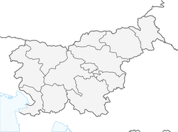


Slovenia Green Gourmet Route - Radol'ca loop

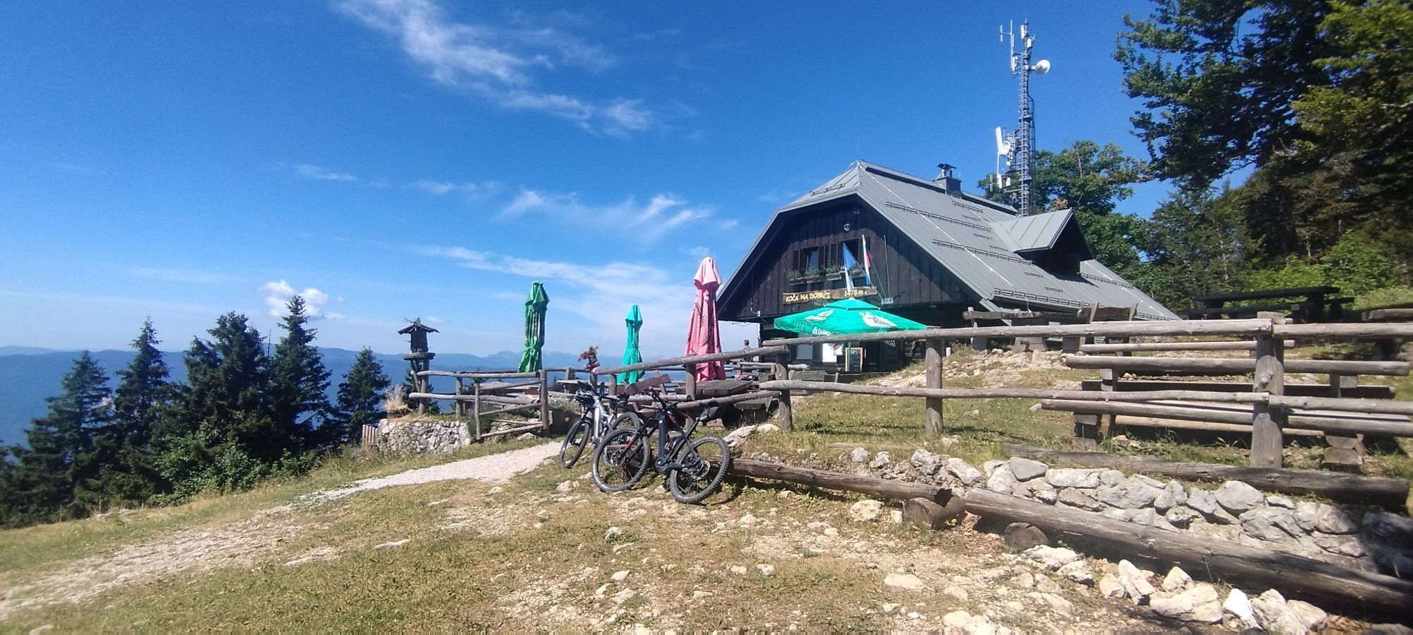
The starting point of this 72-kilometer long cycling route is in the picturesque old town centre of Radovljica. After the initial descent to the Sava River, the route leads upwards into the lush green...
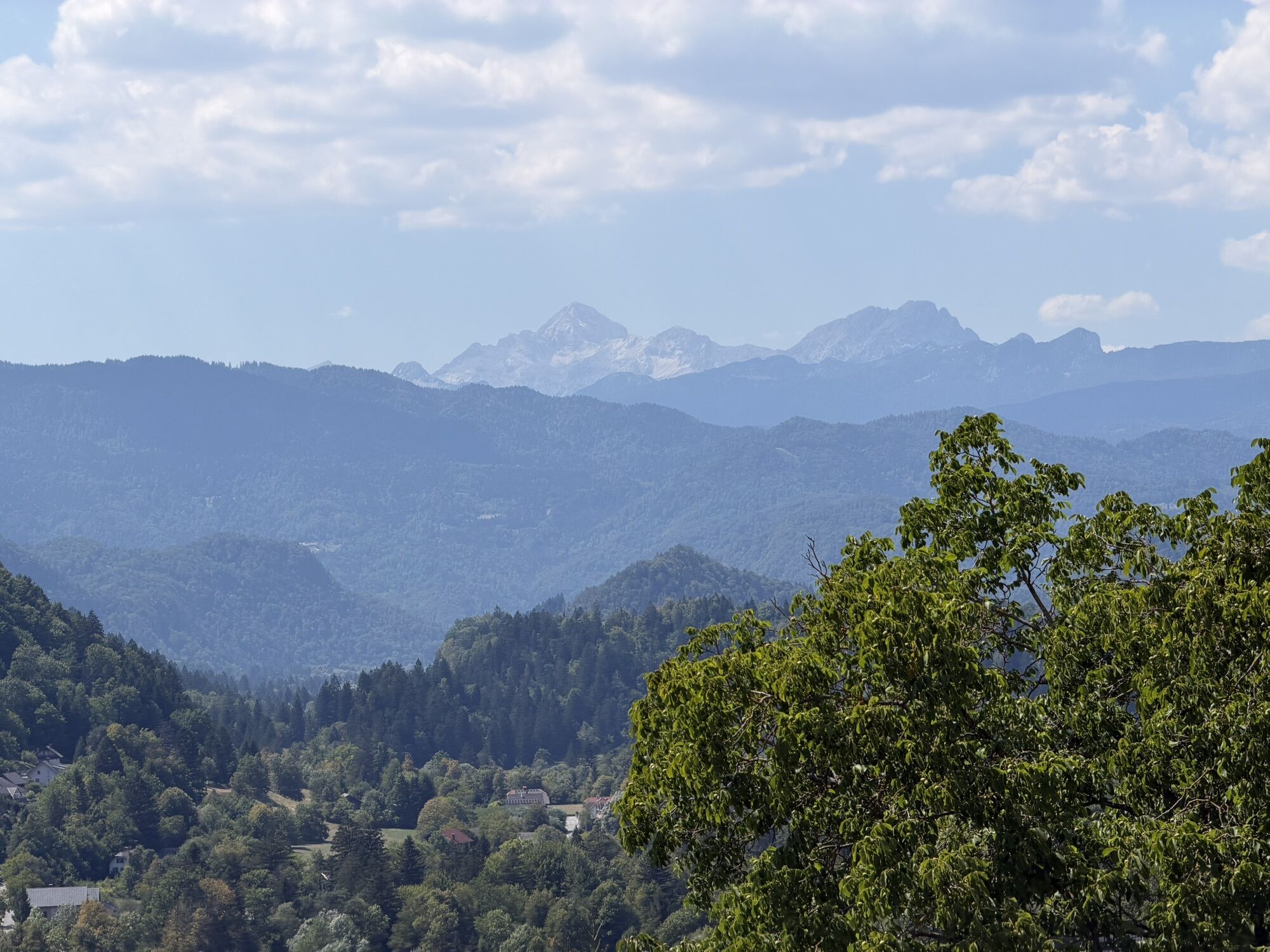
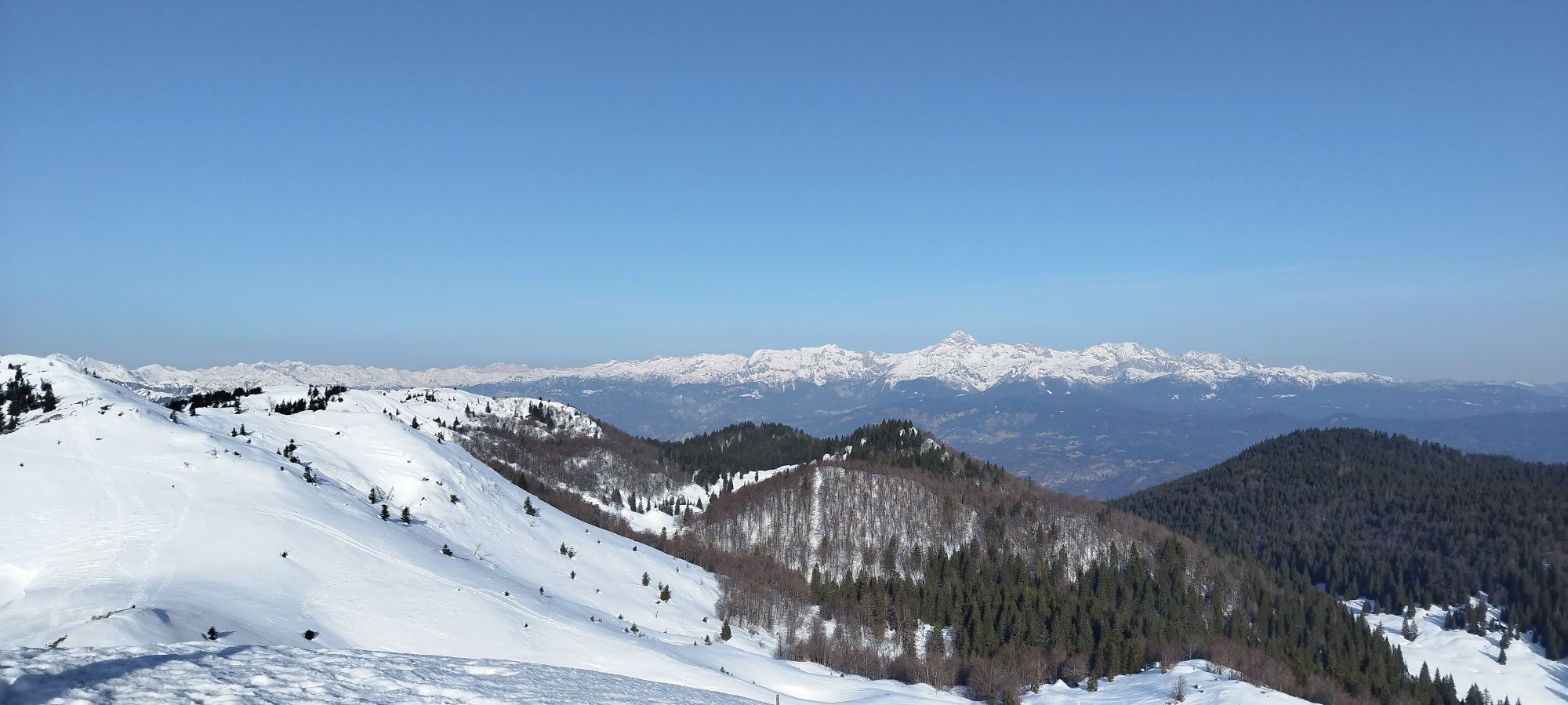
The starting point of this 72-kilometer long cycling route is in the picturesque old town centre of Radovljica. After the initial descent to the Sava River, the route leads upwards into the lush green Lipnica Valley. Passing through pictoresque market town Kropa, we reach the edge of the steep forested plateau of Jelovica, which invites with its challenging serpentines to the village Jamnik. The reward for the 350 meters of forest climb is a majestic view across the Gorenjska region, followed by a steep descent through to Besnica and onwards to Kranj, the capital of the region. From this ancient town at the confluence of two rivers, we continue through the plains to Bobovek Lakes and Golnik. At the foot of Kriška gora Mountain, the route leads further to TržiÄ, the third historical town on our route. A short ascent to Brezje pri TržiÄu is followed by enjoyable cycling to Begunje na Gorenjskem and Radovljica, enhancing the ride with beautiful views of Triglav and the Julian Alps.


From the Radovljica Tourist Information Center, ride through a narrow street leading southeast towards the old town center of Radovljica. Cycle straight through Linhart Square (or take time enjoy a morning coffee in one of the many bars or inns). At the end of the square, turn right onto a short street leading to a wonderful viewpoint situated near the former town gates of Radovljica. Turn right and descend down the road at the foot of the former town walls. Cross the railway overpass and continue cycling downhill towards the Sava River. Alternatively, you can shorten the route by descending straight down an extremely steep road from the Tourist Information Center, (near the entrance to the former castle moat), leading directly down to the train station.
After about 600 meters of descent, you will reach the main road. Approach it carefully, turn left, and head downhill towards the bridge over the Sava River. Cross the bridge and continue cycling on the main road, which gradually ascends on the right side of the valley and making a left turn at the end of the settlement (with a nice view of the old town center of Radovljica). After half a kilometer of gradual ascent, the road turns sharply to the right. Follow the main road upwards (ignore the left turn) than ride through a blind turn (be cautious!) to reach the Lipnica Valley floor. Follow the main road past the settlement (cultural center, bar, and store on the left) southwards, cycling through the bottom of the valley past the village of Zgornja Lipnica. Shortly after seeing a small ski slope with a ski lift on the right side of the road, you'll reach the village of Kamna Gorica. You can continue cycling on the main road, but for the charming atmosphere of the old blacksmith village, it's worth turning right just over a hundred meters after crossing the bridge over the Lipnica stream. The narrow village road along the watercourse leads you to the old village center, where you turn right at the post office. You'll find yourself in a beautiful village square surrounded by interesting historical facades. At the end of the square, turn left and follow the narrow village road to the bridge over the Lipnica stream. Cross the bridge and continue on the narrow street to the intersection with the main road near the fire station. Turn right here and continue on the main road through a fast flat section on the right side of the Lipnica stream.
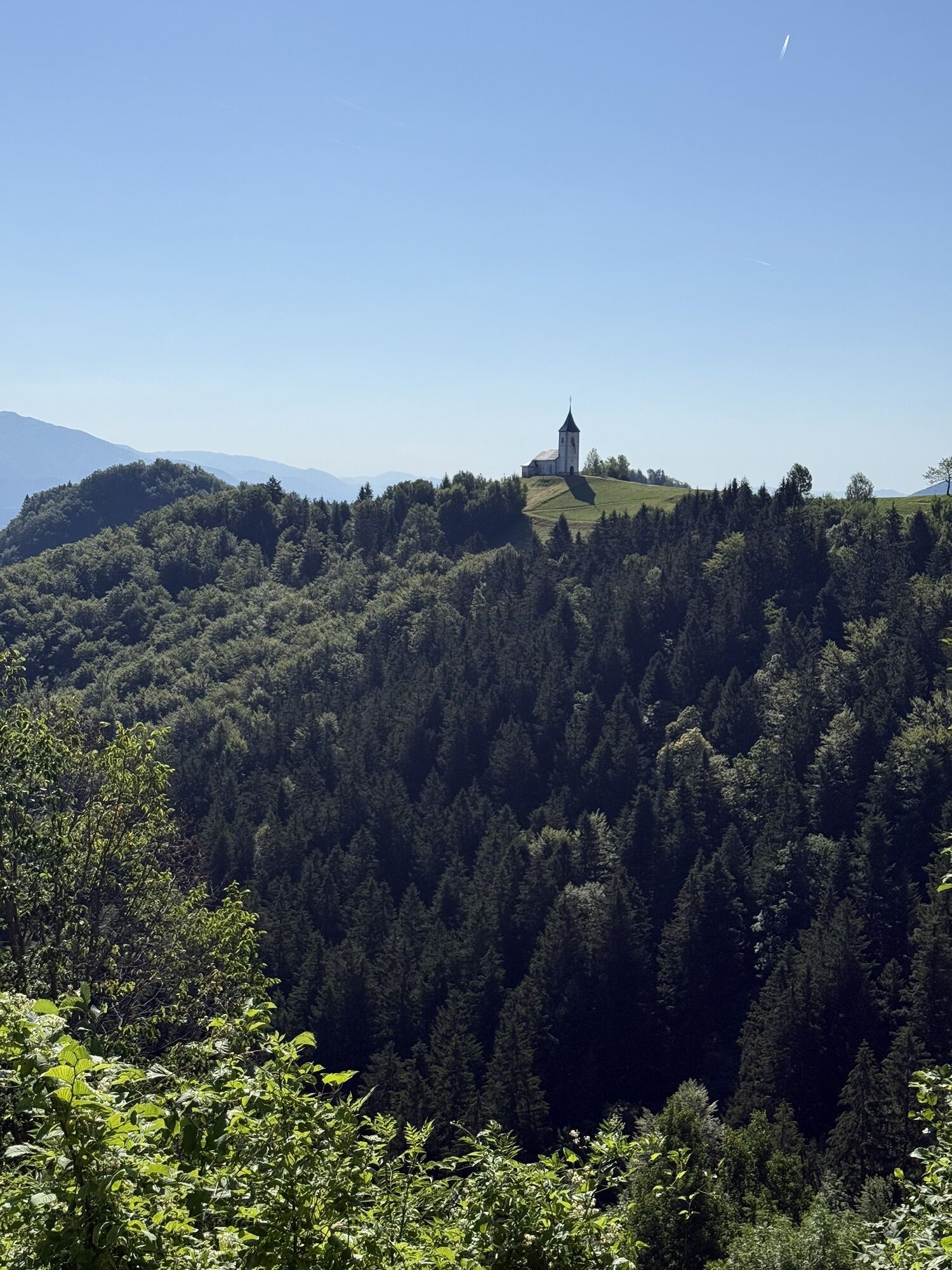
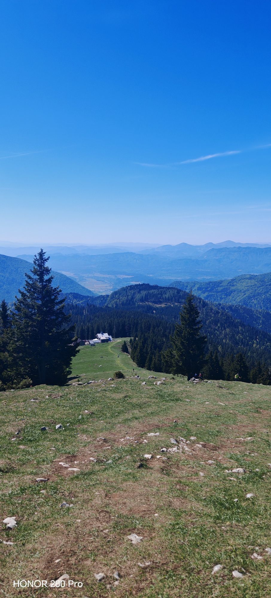
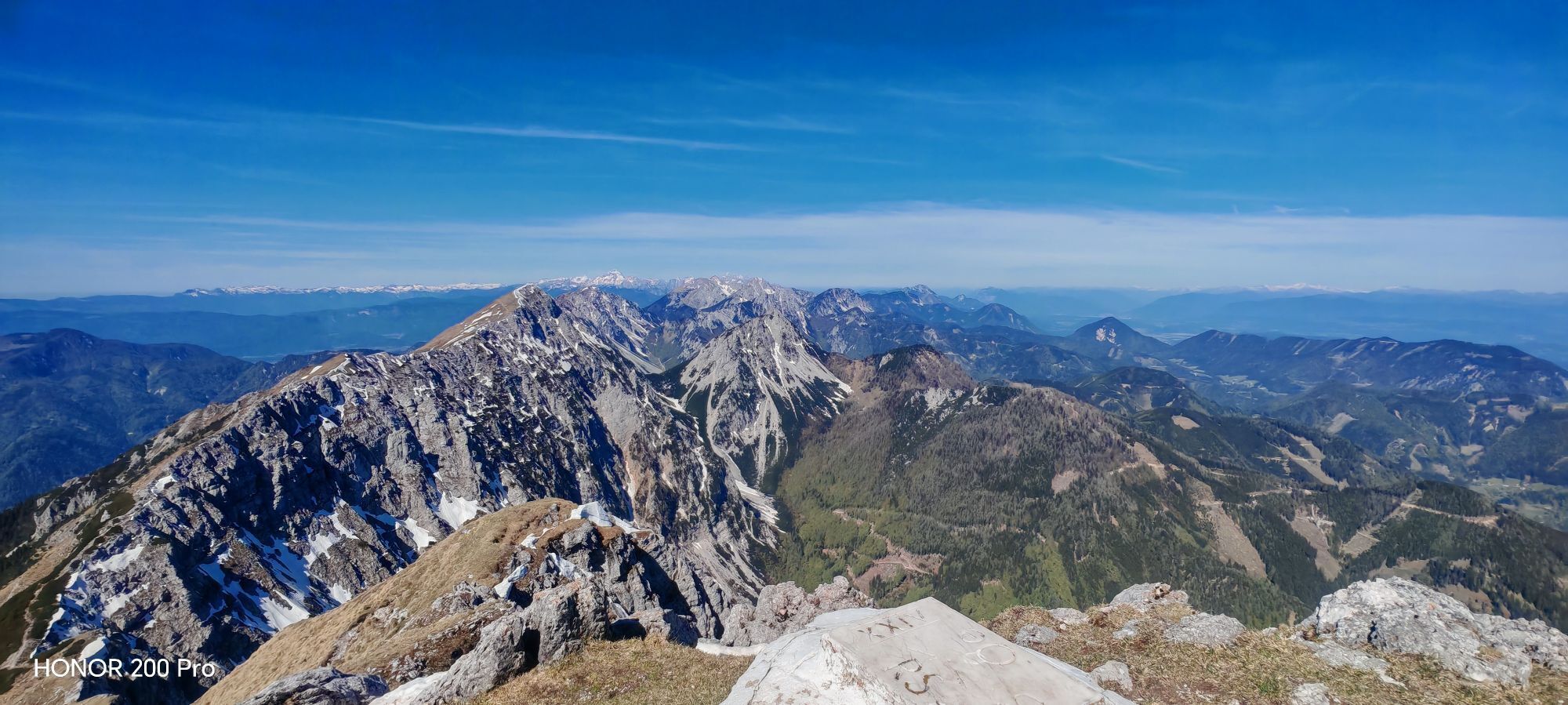
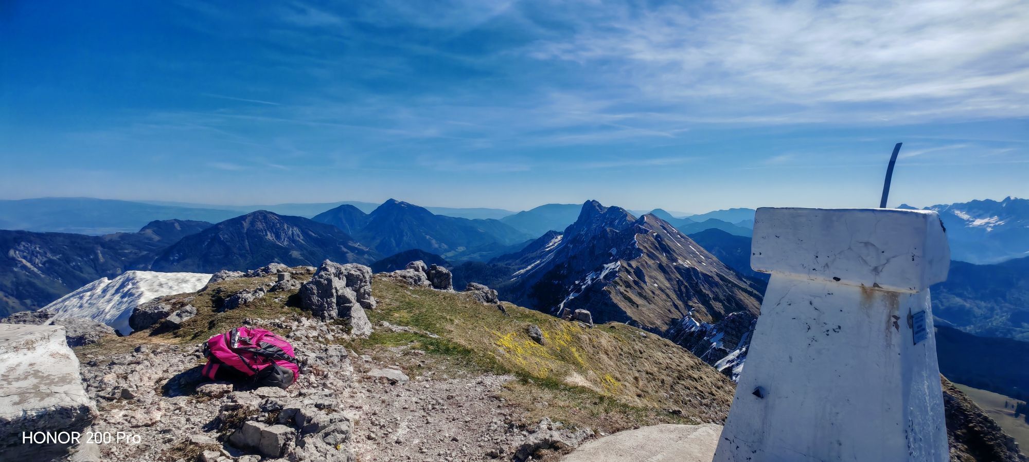
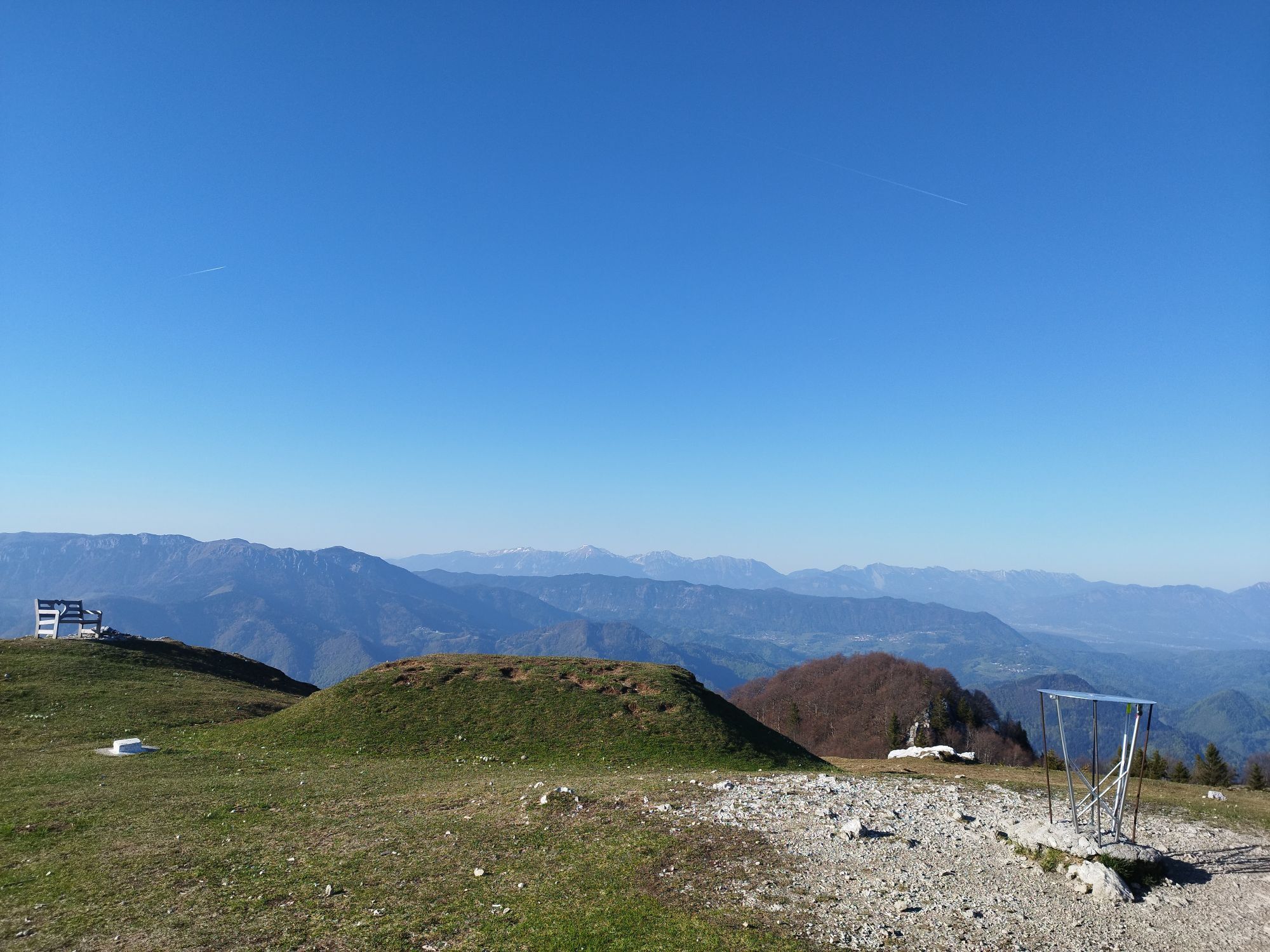
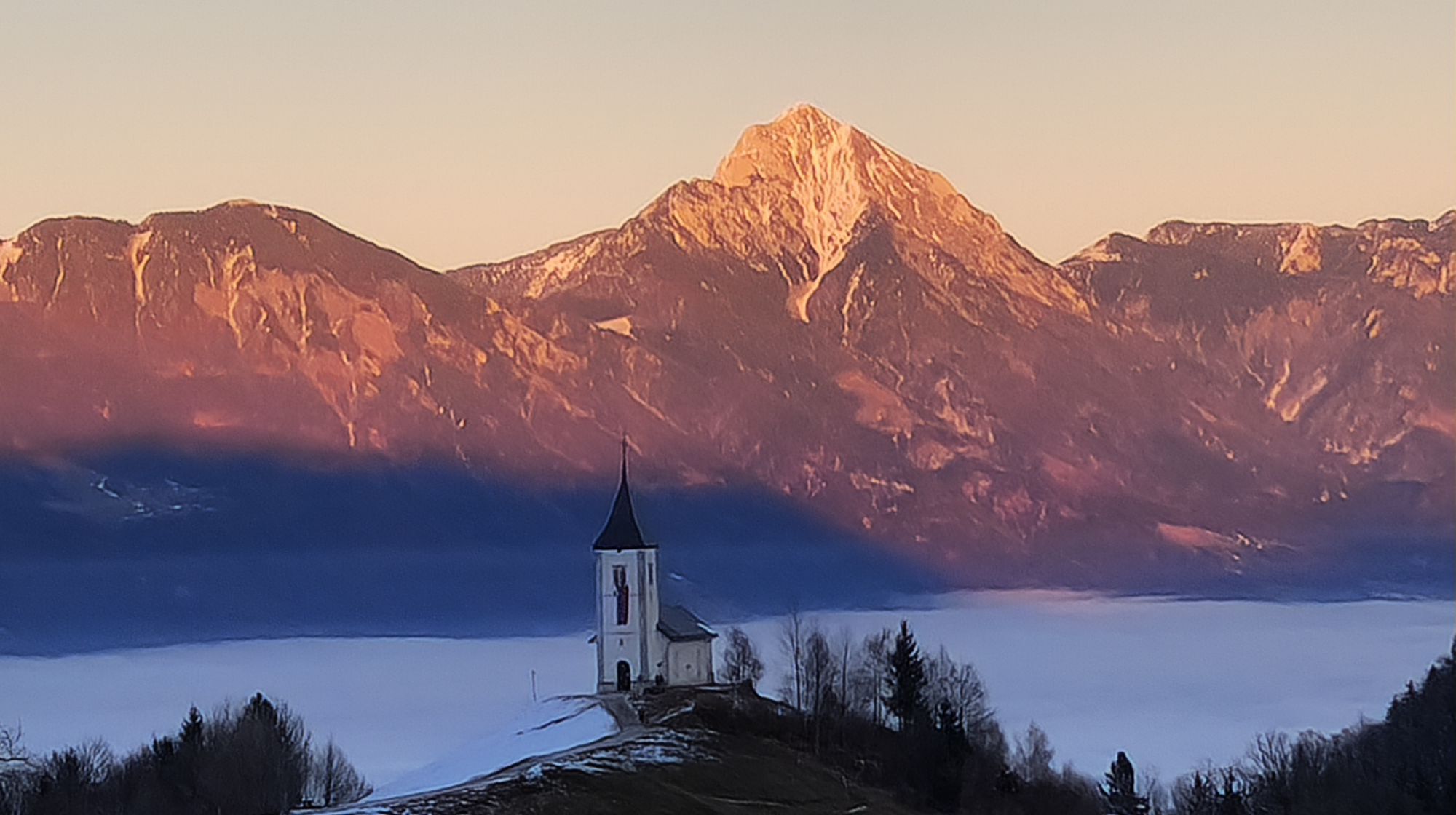
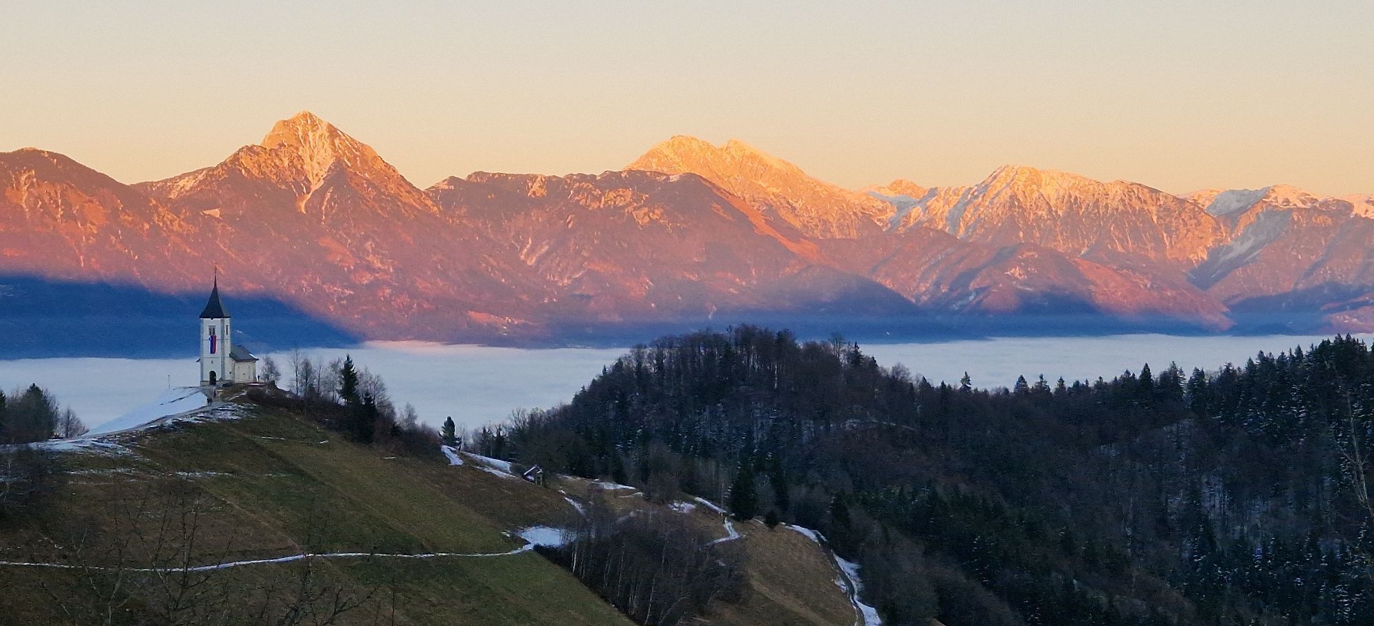
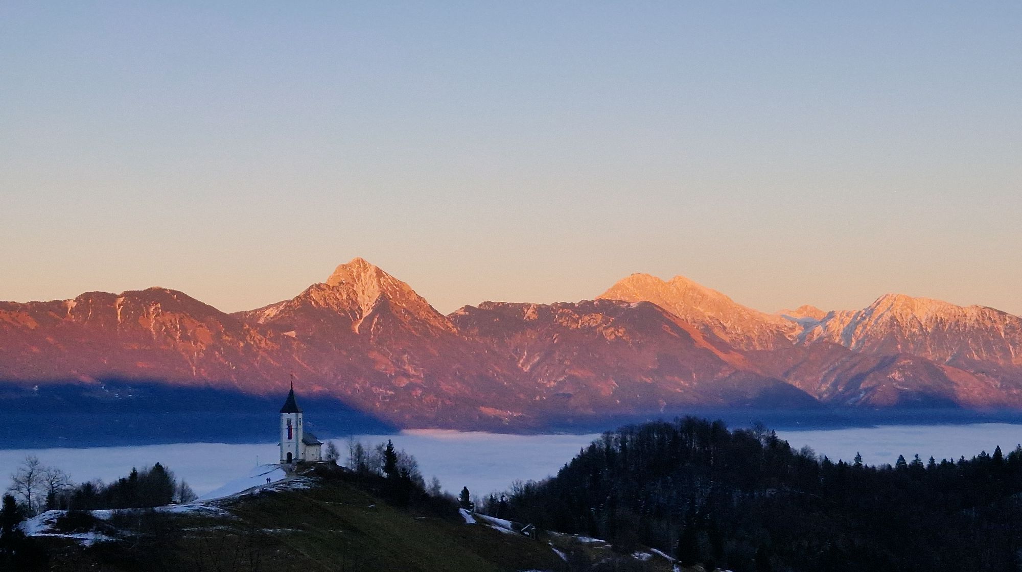
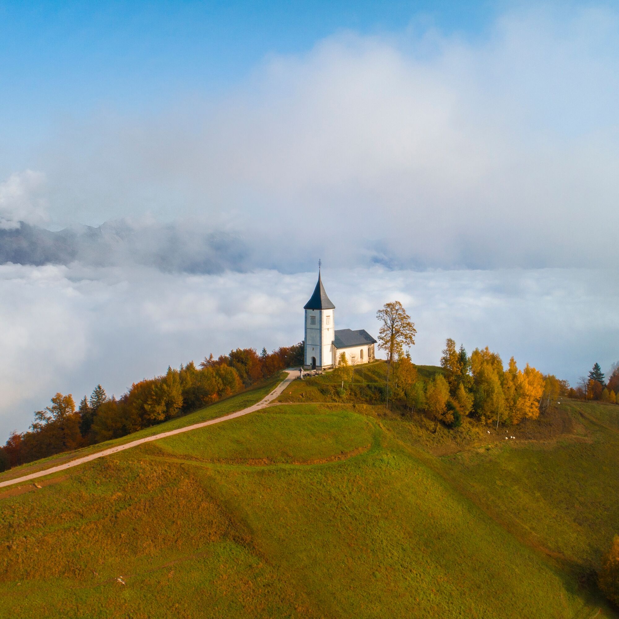
Ignore all side roads leading left and right and continuously cycle ahead on the two-lane road leading through the valley floor towards the southeast. When you cross the Kroparica stream, you'll find yourself at a crossroads with a stone carved partisan monument. Turn right (direction: Kropa) and continue cycling on the road that ascends towards the Jelovica plateau alongside the stream. Soon, you'll reach the newer part of the village of Kropa (Plamen factory), followed by the picturesque old market center situated in the middle of a narrow valley. Turn right across the bridge, then left along the stream (nice views of old blacksmith houses and the lively stream). The valley becomes narrower, houses become sparser, and soon there's only room for the stream and the road. After the last house in the village (next to the interesting technical monument "Slovenian Furnace"), the road sharply turns left, and in a steep slope soon brings you to a panoramic meadow with views of the Karavanke mountains and the Kamnik-Savinja Alps. The road then turns right again, and ascents further through a forested slope. You need to conquer five sharp switchbacks before the steepest incline begins to slowly ease. At the roadside chapel , the steep slope finally diminishes. Ahead of you, at the end of the grassy ridge, you'll see the famous church of St. Primus and Felician in Jamnik. Enjoy this beautiful cycling section to the village of Jamnik, where it's worth stopping for a few minutes to take in the surroundings. The view of the isolated church, high mountains in the background, and the Gorenjska towns and villages is truly unique. Continue cycling on the main road in a gentle descent, now with the view of the expansive forests of St. Mohor and St. Jošt. You can ignore the first unmarked left turn, but certainly should not miss the second left turn leading to the village of Podblica (signpost: Kranj).
The narrow asphalt road descends in a long arc towards village Podblica (the birthplace of cycling champion Matej MohoriÄ), where you'll encounter two sharp chicanes. Cycle on the main road through the village and ignore all turns into private yards. At the crossroads at the end of the village, turn left (direction: Kranj) and enjoy a fantastic panoramic descent on the road that leads over wide open grassy slopes. In the forest below, there's a sharp right turn, followed immediately by a sharp left turn. Then, a quite visible section follows, allowing for a fast descent to the bottom of the valley. At the crossroads below the village (inn and linden tree), turn left and continue on the wide clear road leading through the picturesque valley of the NemiljšÄica stream (on the right side of the road, you'll see a beautiful old "Pšcova" shrine). Ignore all turns and access roads, and continue on the main two-lane road leading through the idyllic valley. The road soon approaches the stream and begins to descend more steeply but than soon levels out again near the village of Njivice.
---
The long straight road ends in sharp turn (catholic shrine). Turn right and cycle steeply uphill. Between the residential houses t he road quickly ascends above the valley and (in a sharp right turn) leaves Bistrica pri TržiÄu. You have already started cycling on the second major ascent of the day, which leads you towards the village of Brezje pri TržiÄu. If the ascent on the slopes of Mt. DobrÄa has made you thirsty, you can quench your thirst by the fountain along the path ("Žegnani studenec"). Shortly after the church of St. Agnes, the steep ascent ends, and you are rewarded with broad views of Upper Carniola. The next few kilometers are very straightforward in terms of orientation: Always follow the beautiful panoramic road that takes you straight through the villages of Hudi graben, Zadnja vas, and Slatna. Ignore all turnoffs that lead down to lower-lying villages (Leše, PaloviÄe, Mlaka...) or up towards Mount DobrÄa.
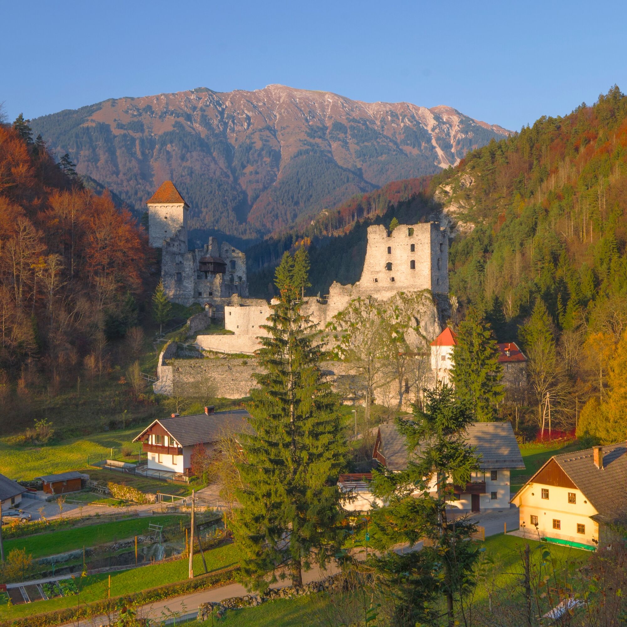
After twelve kilometers of panoramic ride (stunning views of Jelovica, Pokljuka, and the Julian Alps), you reach the village of Begunje (don't miss the imposing ruins of Kamen Castle). Descend straight through the village on the main road, past the church of St. Urh, Katzenstein Castle, the famous Avsenik inn, and the Elan factory. Follow the factory fence right to the end and continue in the same direction to the intersection of paths in the middle of the field (WWII monument and wayside catholic shrine), where you turn right towards the village of Zapuže. After 500 meters, in the center of the village (at the blacksmith's shop /just before the bridge), turn right and continue along the main road running alongside the stream towards village Nova vas. In Nova vas, follow the main road through the blind S turn, and soon you will find yourself on a wide open field near the Lesce Airport. Cycle on the main road winding across the field. On the right, you will be greeted by Mount Stol, Mount Triglav, and Bled Castle, and in front of you, the sharp Gothic tower of the church of St. Peter in Radovljica will show you the right course. Cycle through the underpass under the motorway, tho reach the traffic lights. From the traffic lights continue straight ahead (in the same direction) to reach the town of Radovljica. The road gradually descends and reaches the main bus station. At the end of the bus station (next to the Gorenjska Bank building), turn left and continue past the courthouse and school building straight towards the old town center of Radovljica and the starting point of this cycling tour.
Straßen- bzw. Trekkingrad
Arriving from Bled:
Use the motorway A2 and take the exit 4 (OMV petrol station). Follow the signs for Radovljica, when reaching the first junction. Turn left and drive towards the town until reaching the junction with traffic lights, than turn left again. Follow the principal road (Kranjska cesta), than Gorenjska cesta for the old town centre.
Arriving from Ljubljana:
Use the motorway A2 and take the exit 4 (OMV petrol station). Reaching the local road, turn right for Radovljica and cross the motorway overpass. Drive towards Radovljica until reaching the junction with traffic lights, than turn left again. Follow the principal road (Kranjska cesta), than Gorenjska cesta for the old town centre.
By train: arriving from the direction of either Ljubljana or Jesenice, exit the train at Radovljica train station, than cycle (push a bike) straight up the steep narrow street (Kolodvorska ulica) leading you directly to the square (roundabout) in front of the Tourist information centre in Radovljica.
By bus: frequent buses connect Radovljica to Bled, Kranjska Gora, Jesenice and Ljubljana. On most Arriva operated bus lines you can load the mountain bike on the bus free of charge,providing there is enough space in the luggage compartment.
From the bus station in Radovljica, cross the main road at the road crossing by the market, than cycle through the park stretching in-front of the Grajski dvor hotel. Turn right at the end of the gravel lane, and you will find yourself on the square (roundabout) in front of the Tourist information centre in Radovljica.
Most parking spaces in Radovljica are time limited. For mountain biking tours we therefore advise you, to find parking area without time limitation. The nearest such parking area to the old town is in Kajuhova street. After having passed-by the bank (on your left), and the court and high school (on your right-hand side) turn right and follow the street leading pass the school to the edge of a natural terrace above the railway line. Parking spaces can be found on the left hand side of the road. If this parking area is busy, try the parking spaces near the Health centre (Swimming pool) in Kopališka ulica street.
Make a coffe stop in one of the historical towns along the way: the old town streets of Radovljica, Kranj and TržiÄ invite you to explore their charm!
Obľúbené výlety v okolí
-
Storžič
ťažkéHorská turistika 6,22 km -
Loiblpass and Seebergsattel
ťažkéCestný bicykel 138,0 km -
5,0
Zavetišče v Gozdu - Tolsti vrh - Jircek - Vrh Vrata
strednáTuristika 9,62 km -
Panoramic route Javorov Vrh
svetloTuristika 12,6 km -
The Lipnica Castle Trail
svetloTuristika 9,36 km -
Karavanke Trail - Overall Trail
strednádiaľková pešia trasa 143,3 km -
Forests and Views of Jelovica High-plateau
ťažkéMountainbike 37,6 km -
5,0
Hidden Countryside of Radovljica
strednáMountainbike 31,3 km -
5,0
Kranj - Sv. Jošt nad Kranjem - Kapela Marije Snežne
strednáTuristika 3,88 km -
Circular route to Jamnik
strednáTuristika 10,7 km
Turistika a stopovanie


Nenechajte si ujsť ponuky a inšpiráciu na ďalšiu dovolenku
Vaša e-mailová adresa bol pridaný do poštového zoznamu.





