







Struška 1944 m: A winter visit to the mountain pastures above Javorniški Rovt
Úroveň náročnosti: F
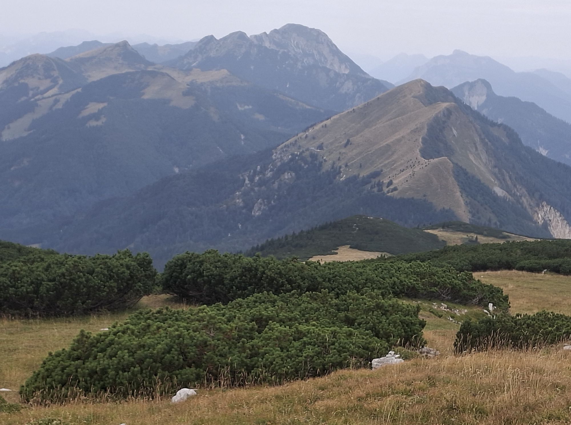
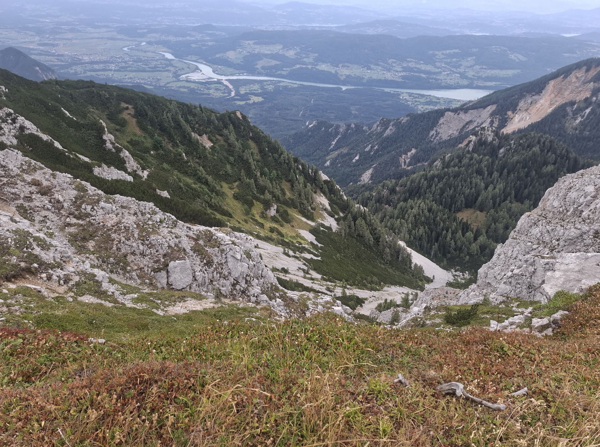
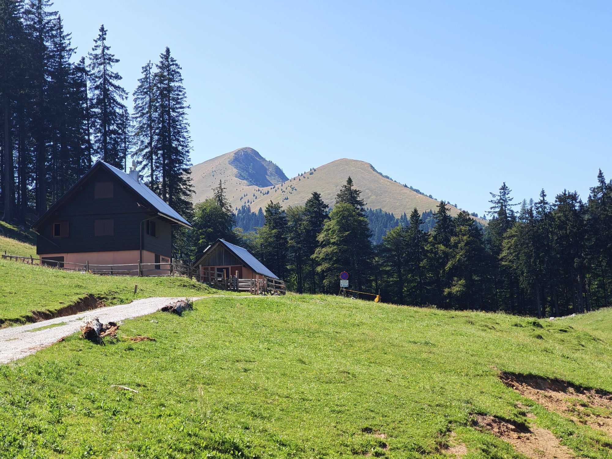
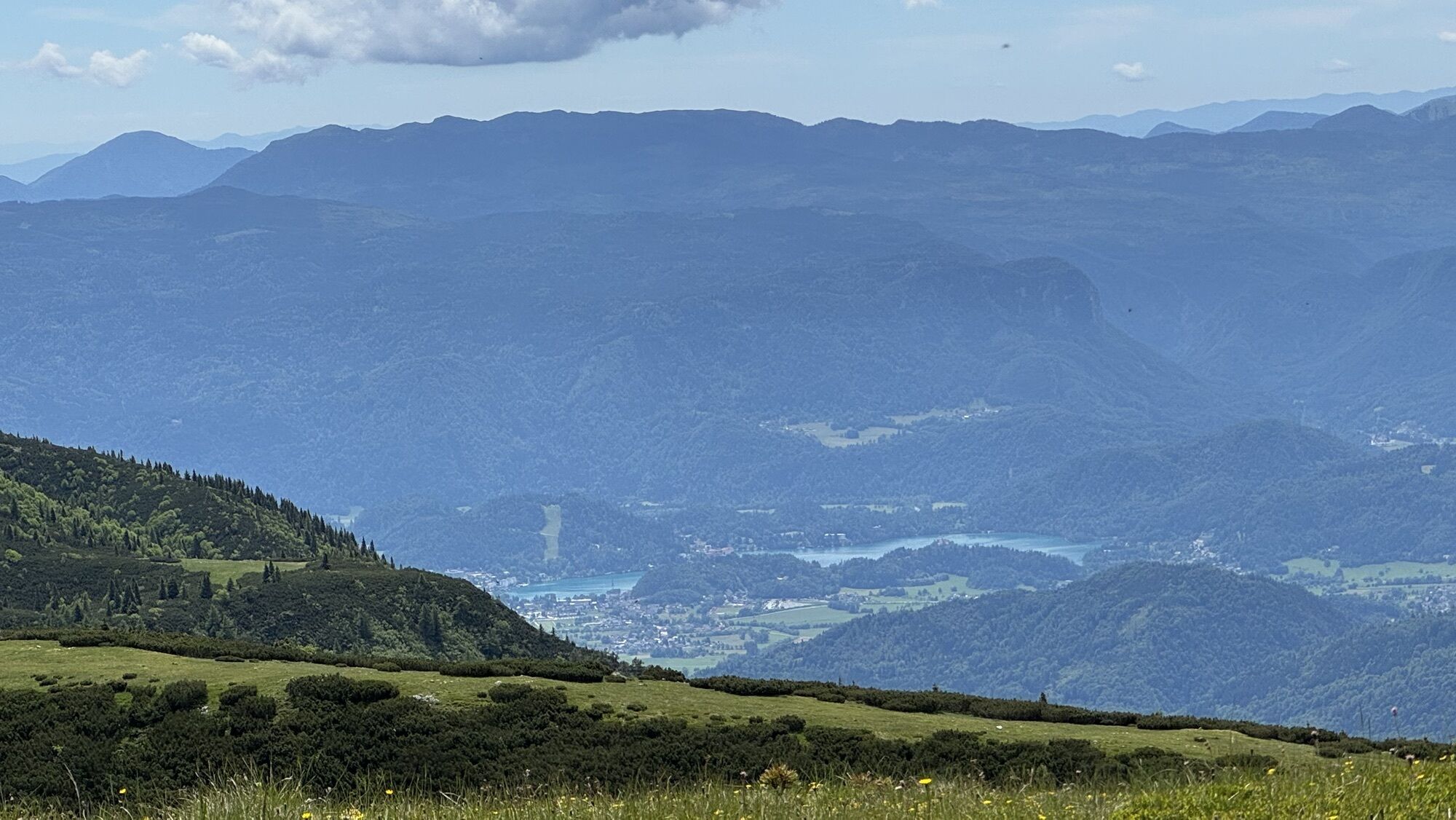

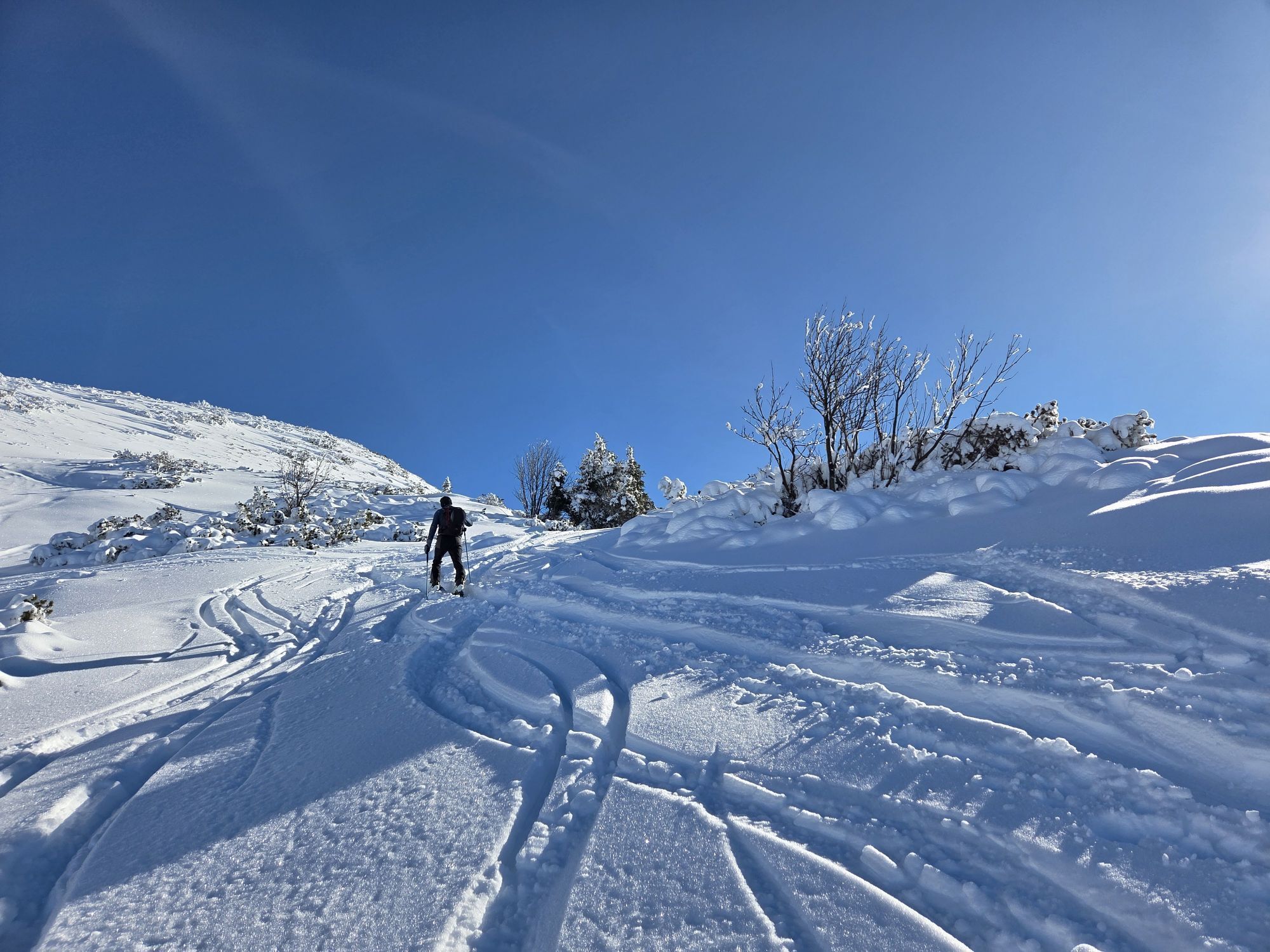
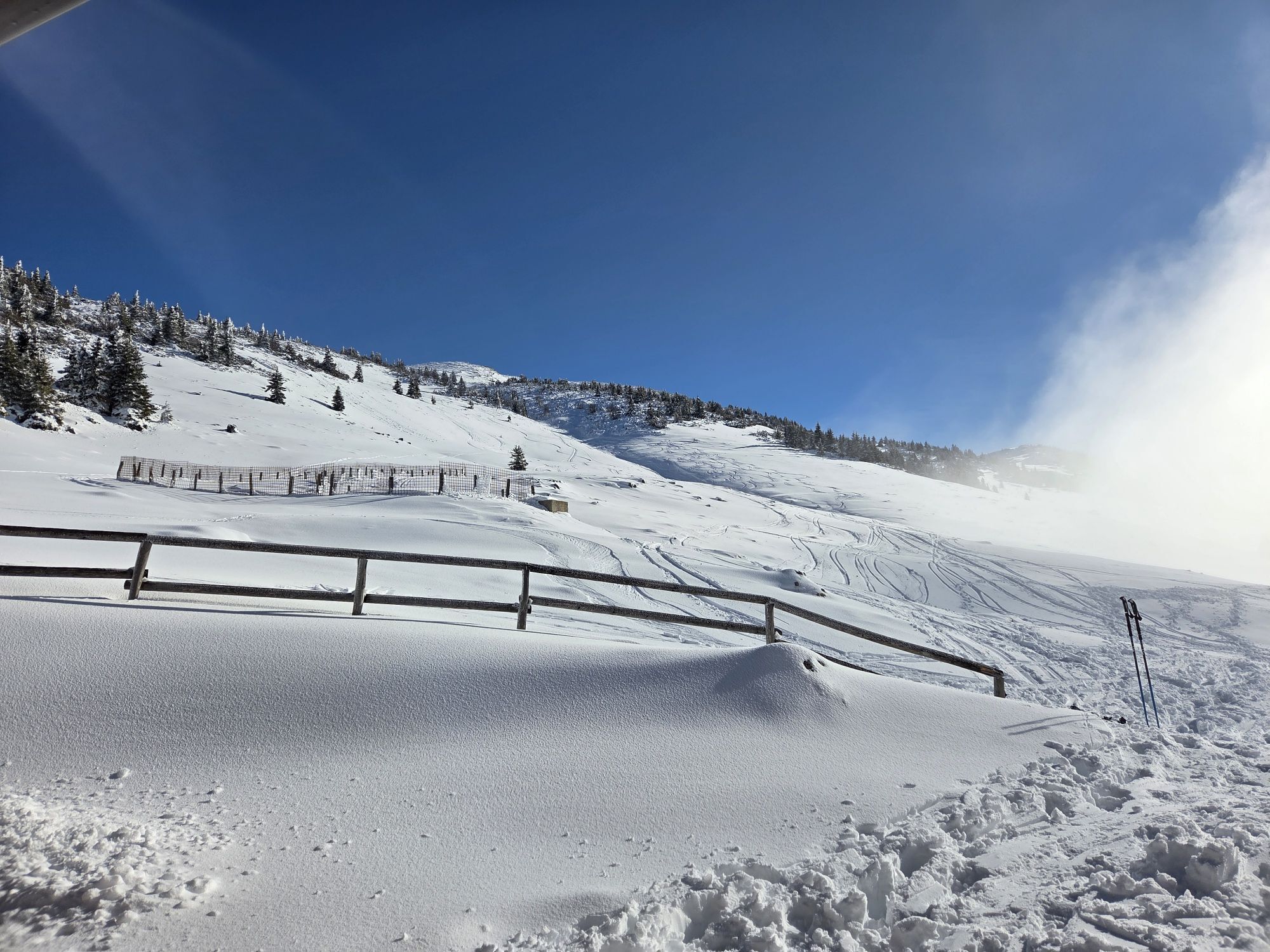
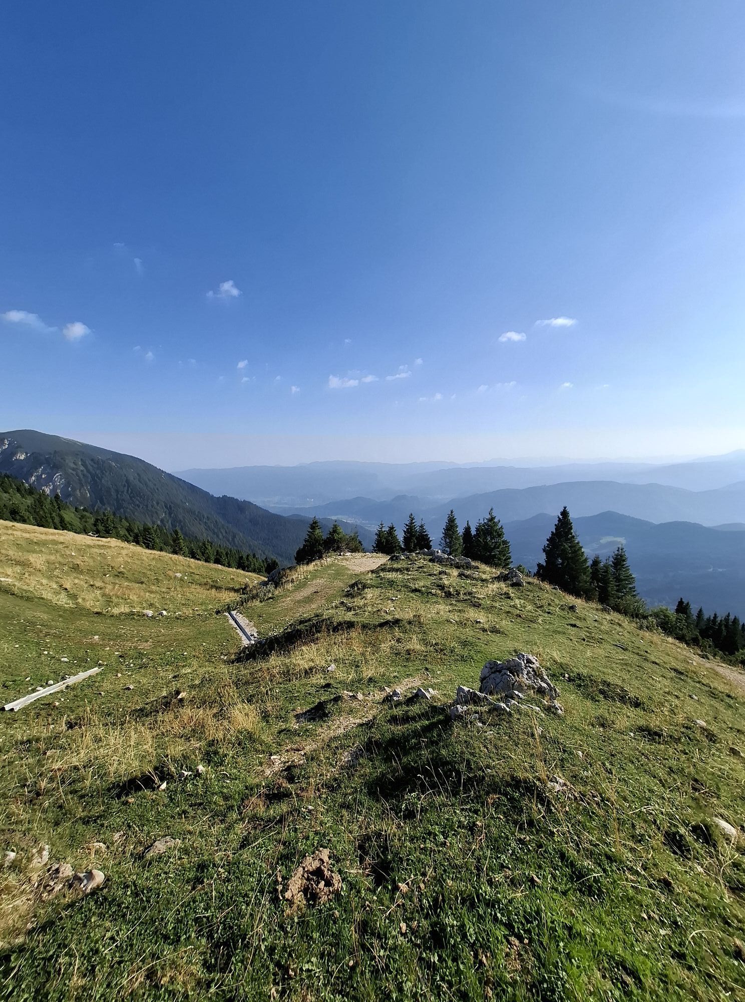
Struška is an elongated mountain ridge between Golica and the peaks surrounding Stol, the highest mountain of the Karavanke. On the sunny Gorenjska side, where our tour takes place, there are no major...
Forest roads, usually ploughed up to the Križovec saddle starting point, ease access. The ski descent is not difficult, avalanche risk is low, and the route is suitable for beginners. It is especially useful as an alternative when conditions in the high mountains are dangerous.
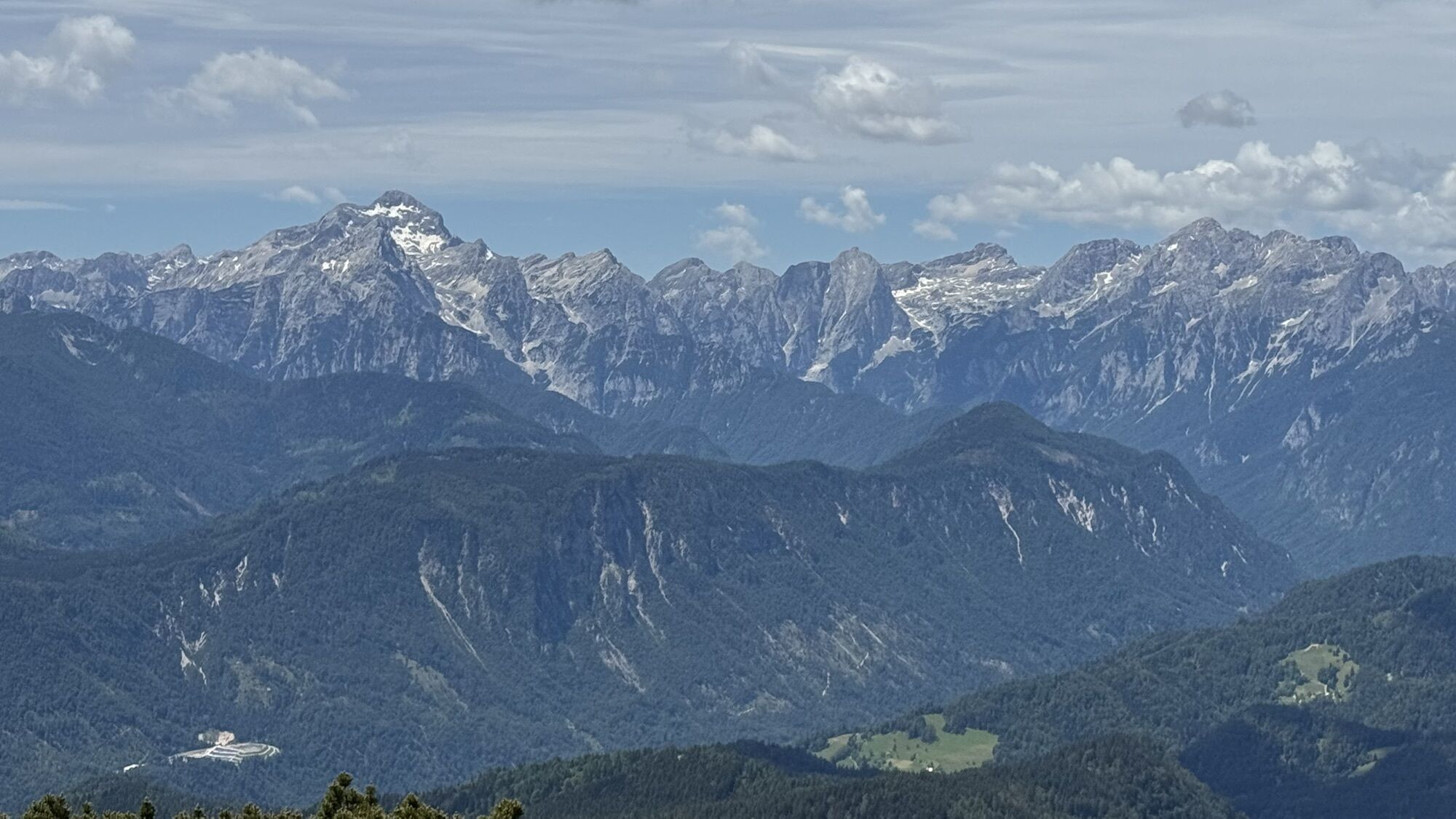
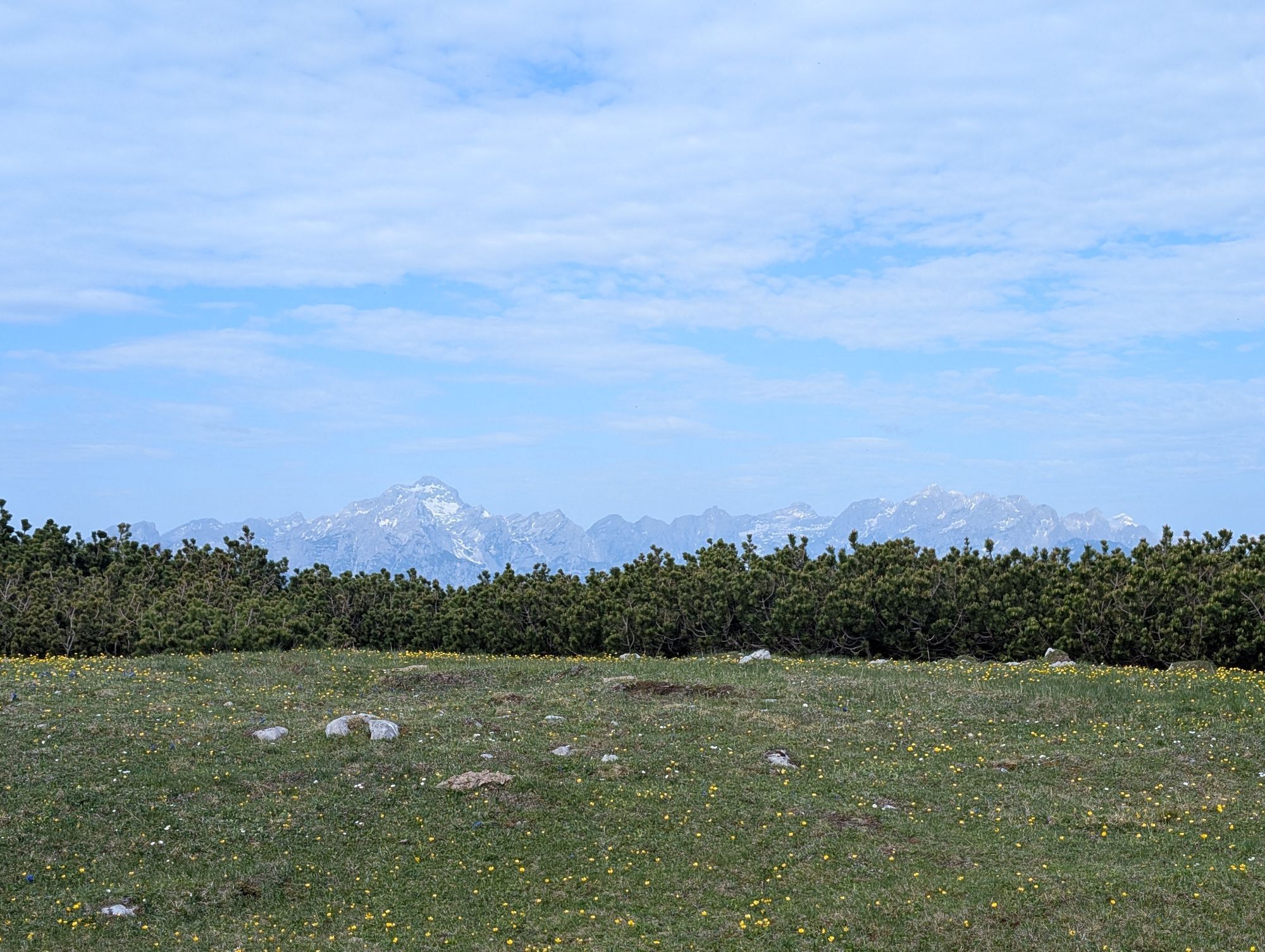
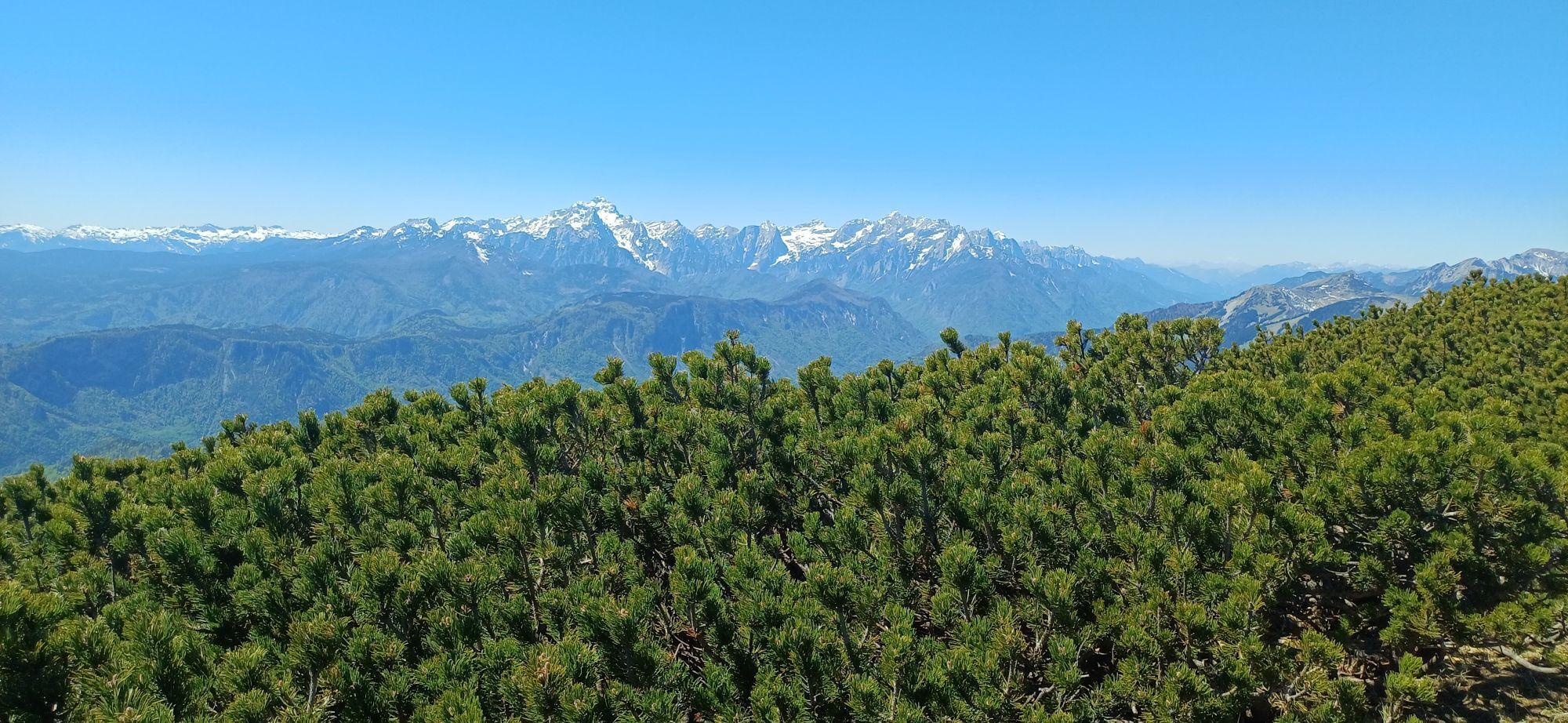
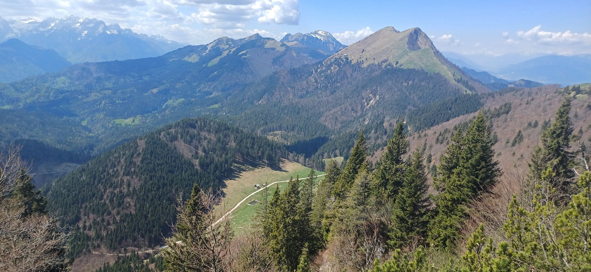
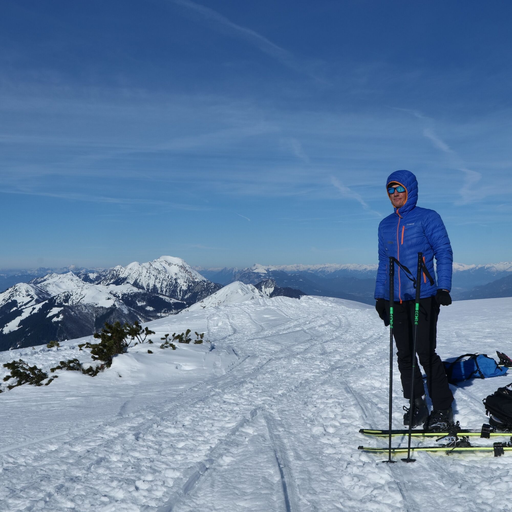
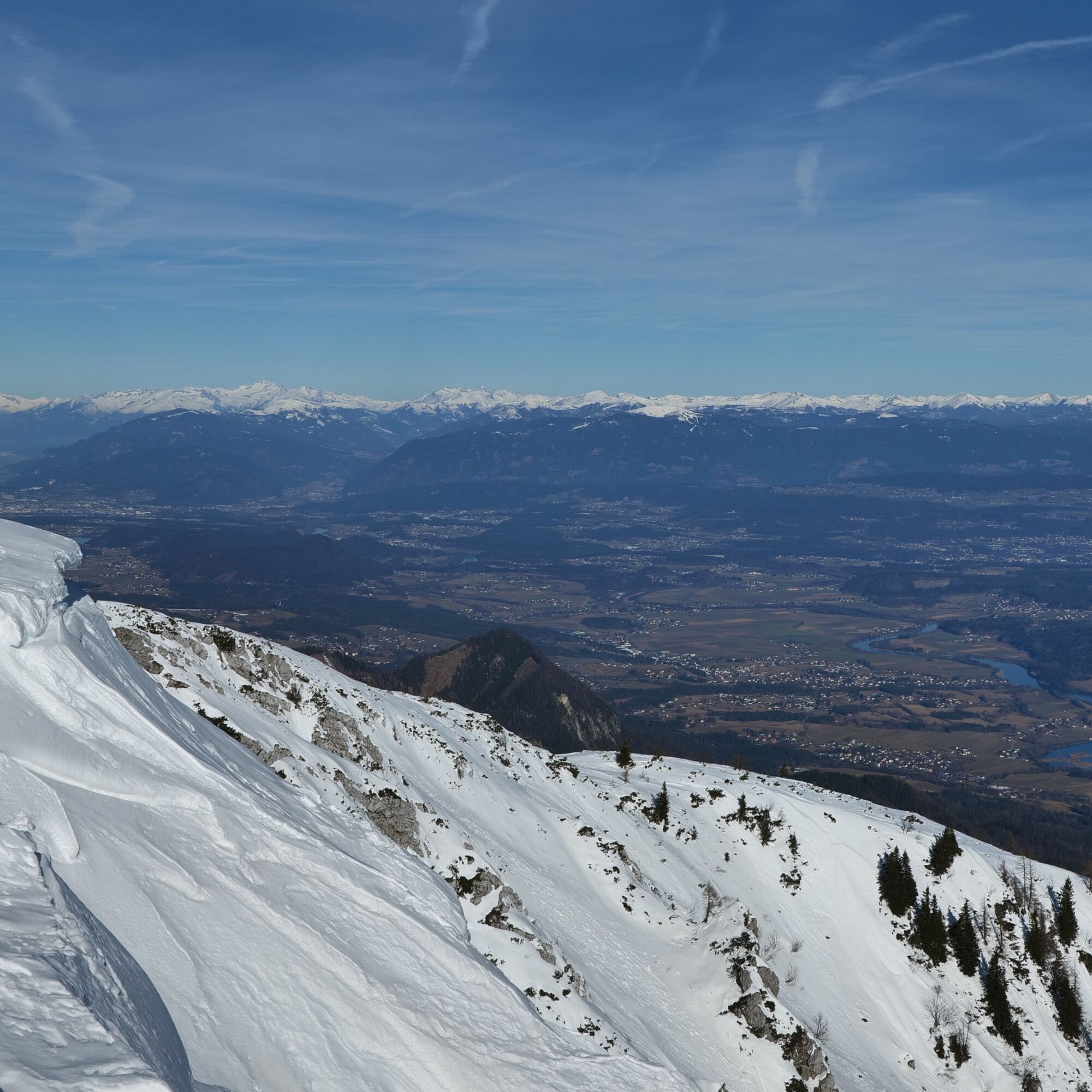
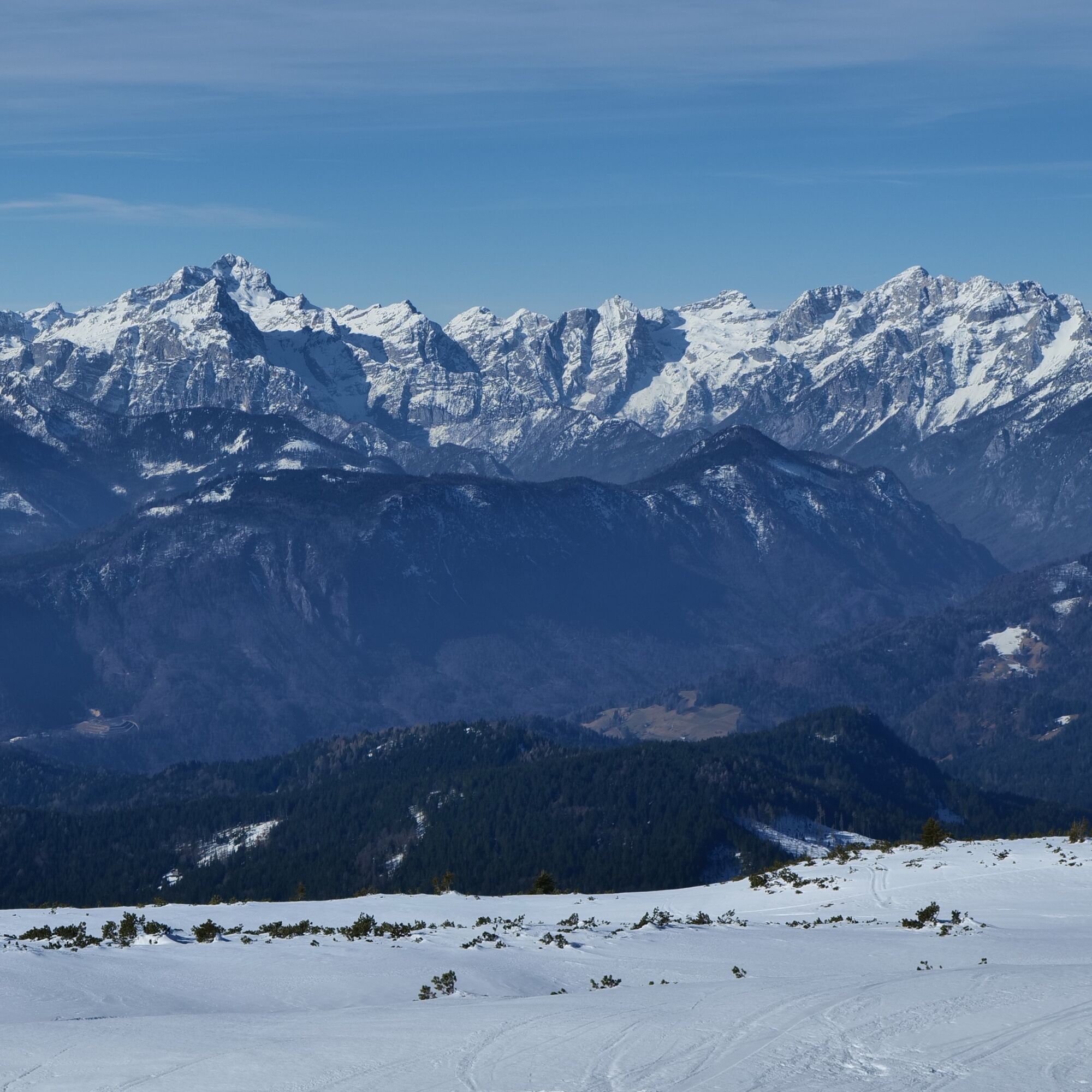
As with other Karavanke tours, the ascent to Struška offers excellent views. The higher we climb, the better they become. To the south rise the highest peaks of the Julian Alps clustered around Triglav and Škrlatica; to the north the view stretches across the wide Carinthian basin to Austria’s highest summits.
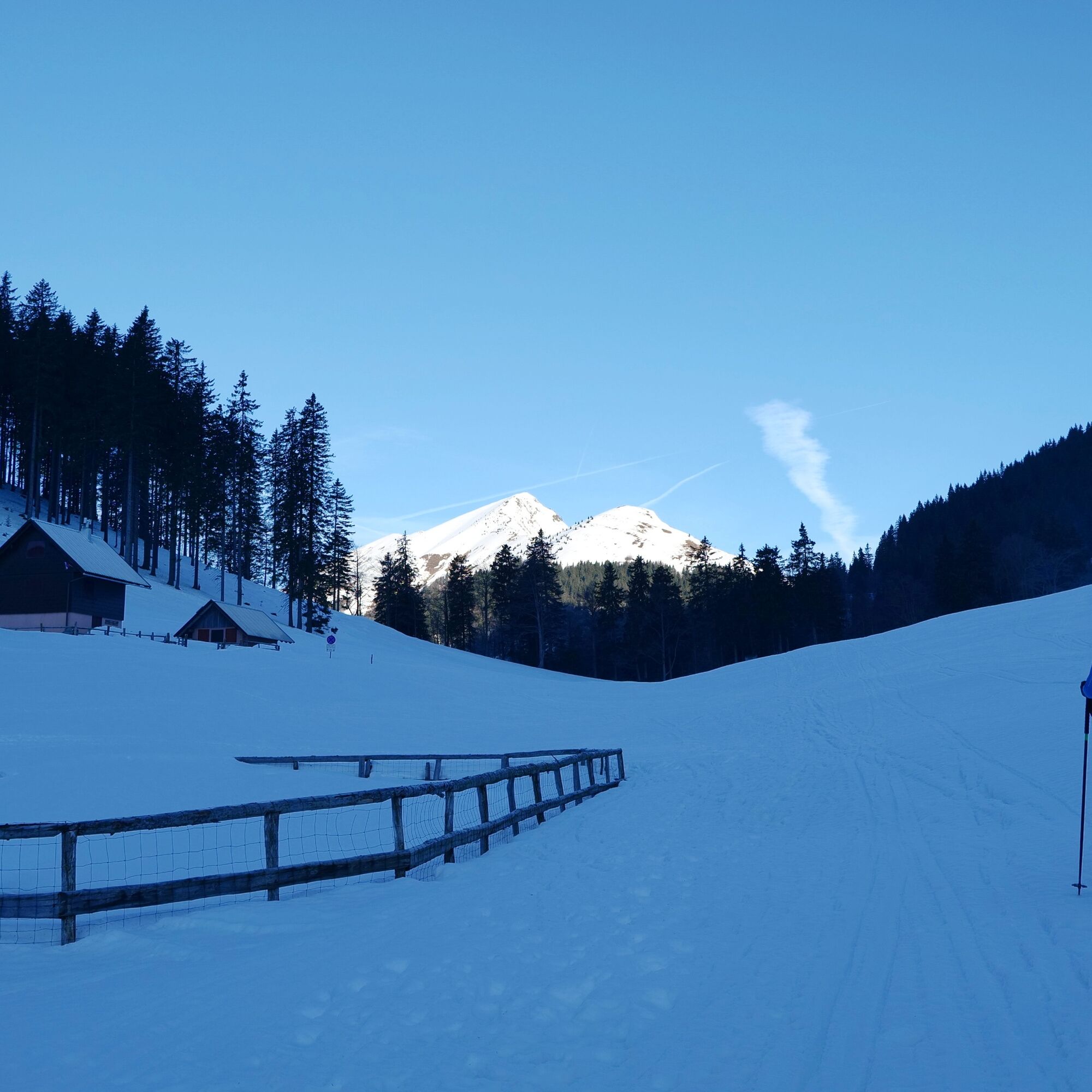
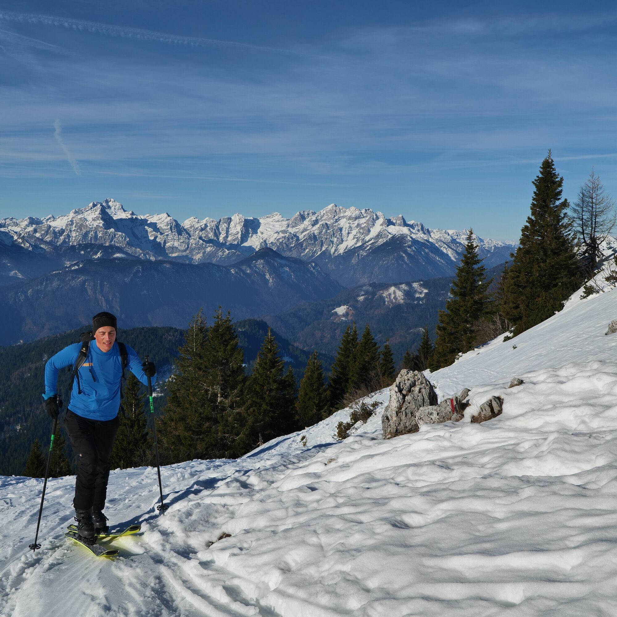
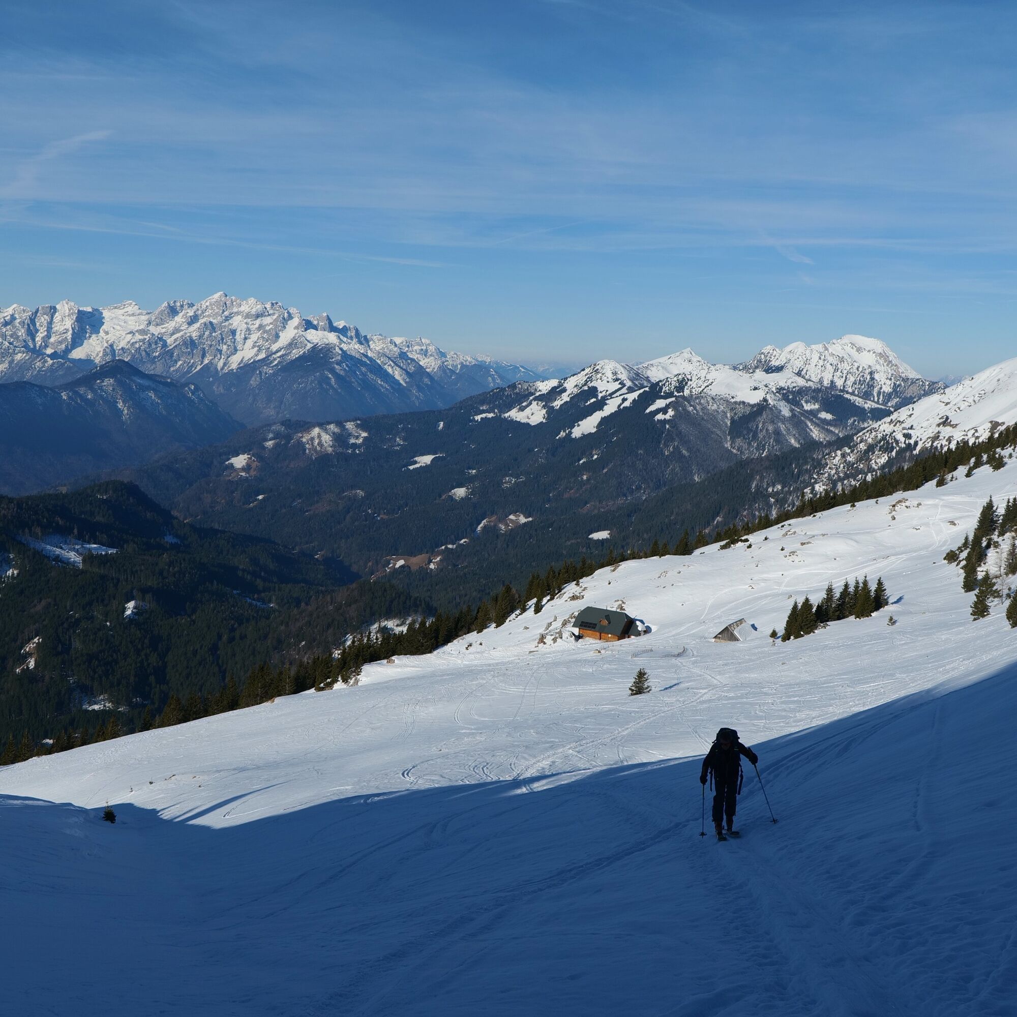
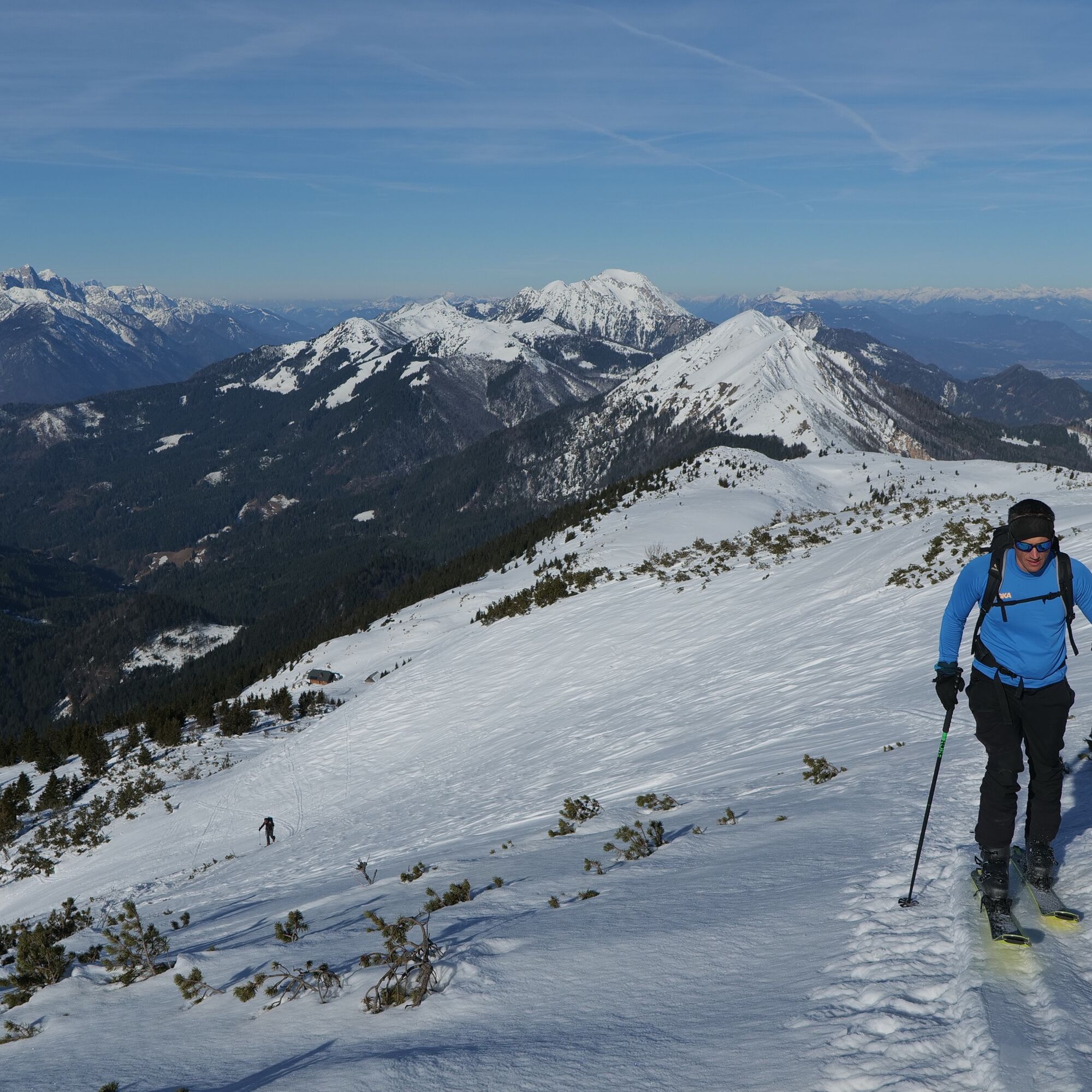
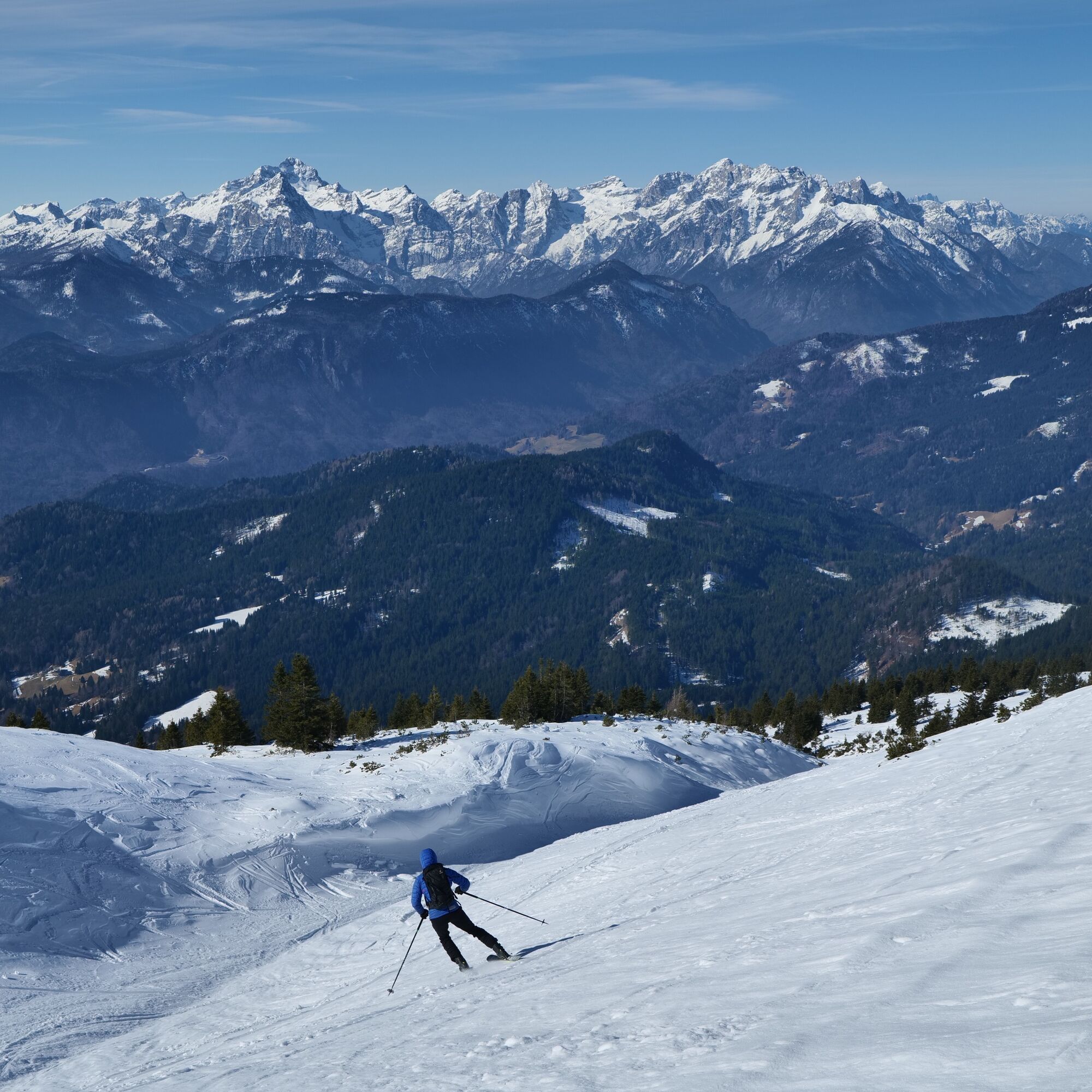
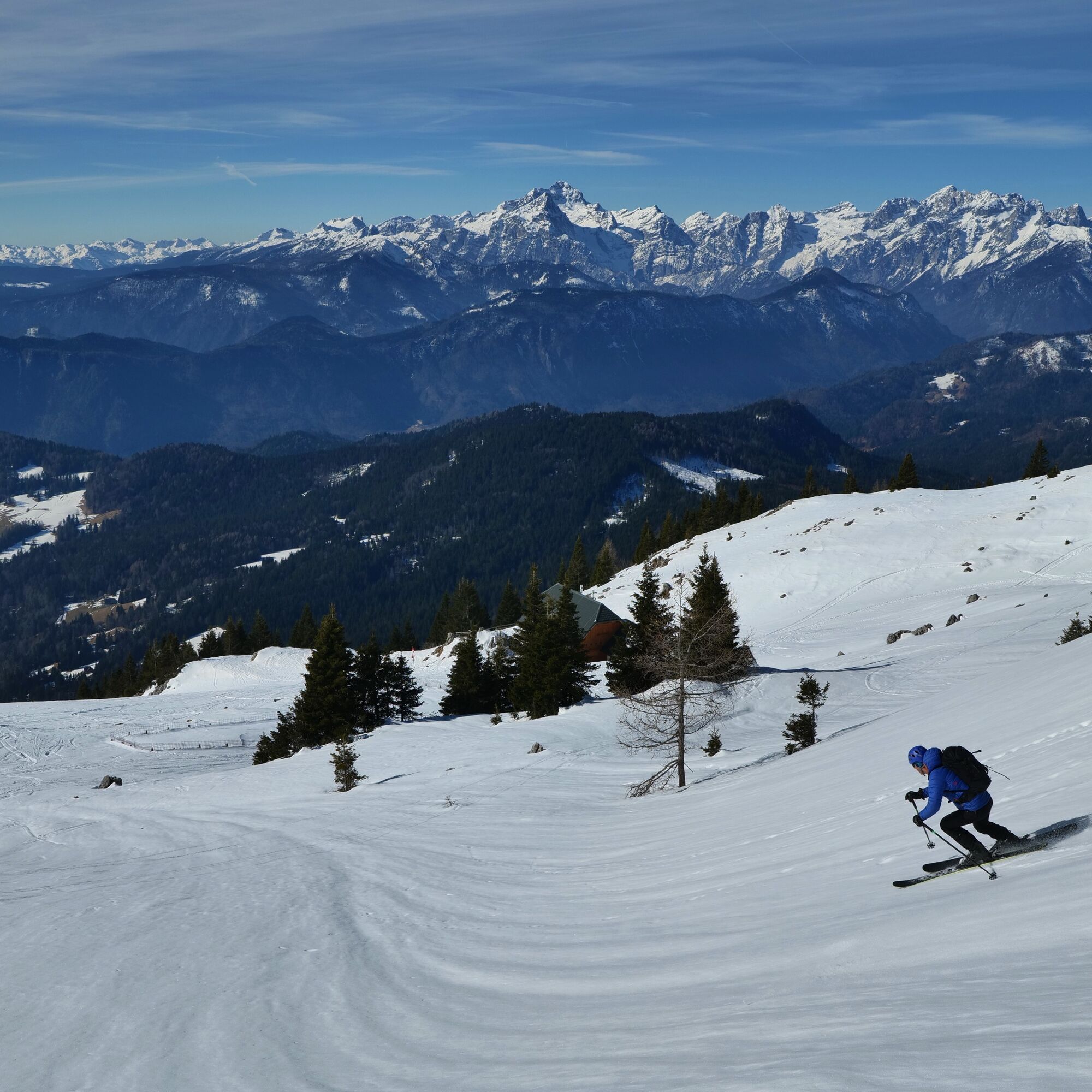
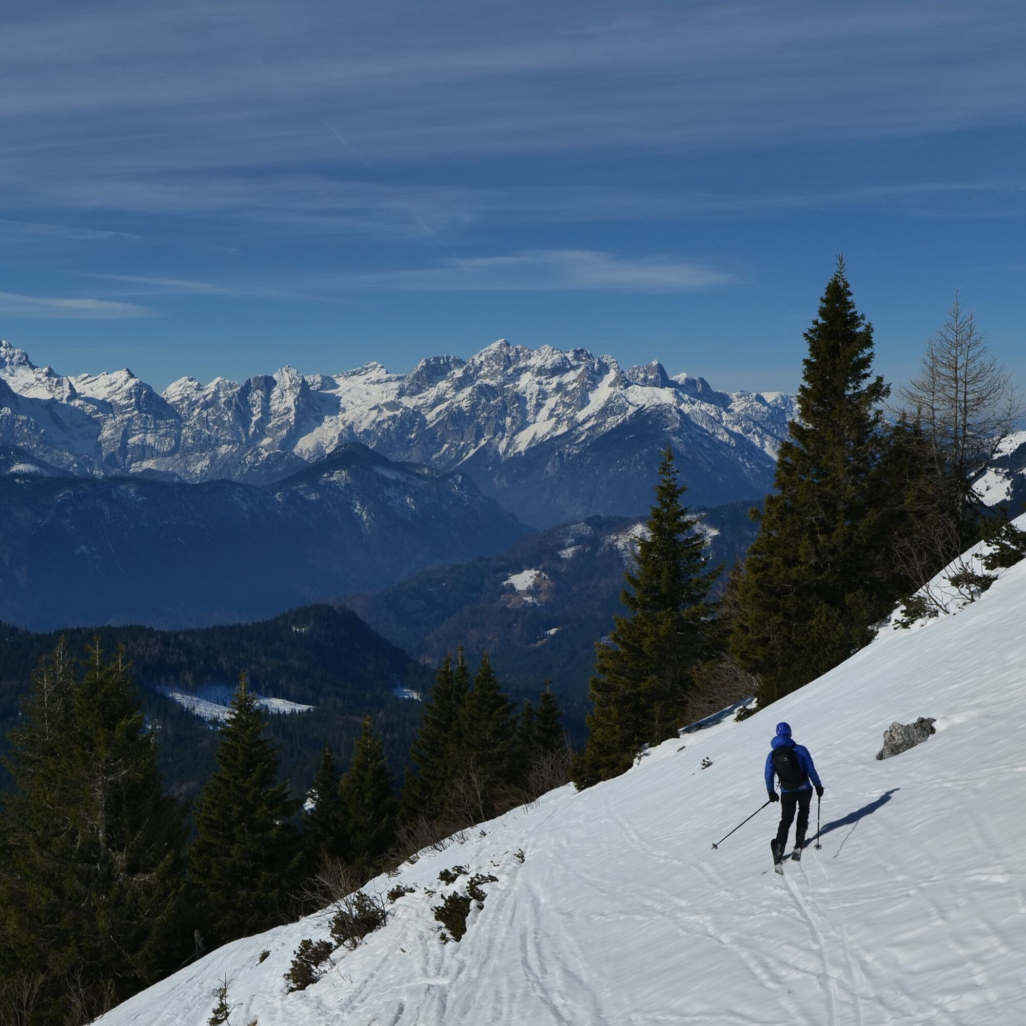
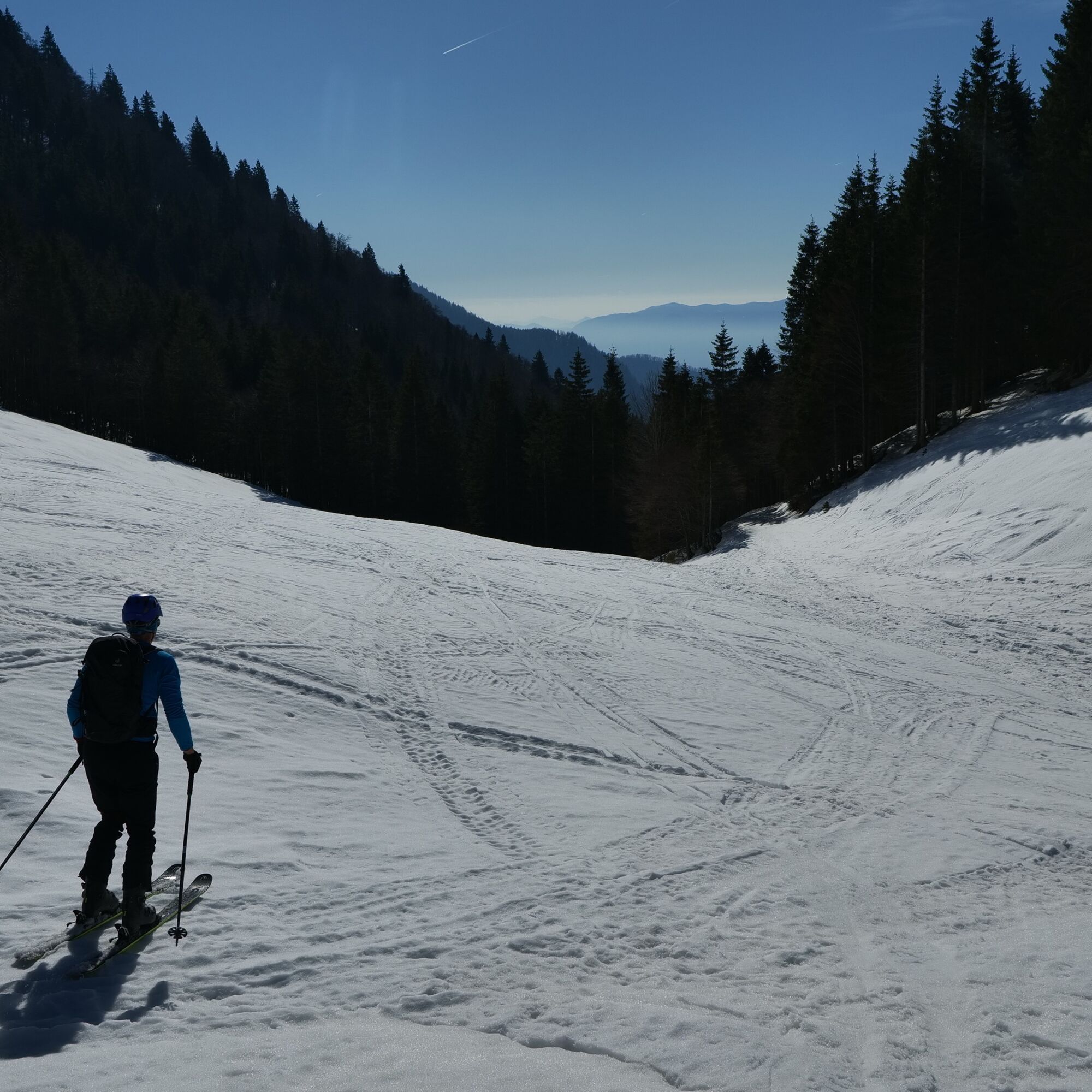

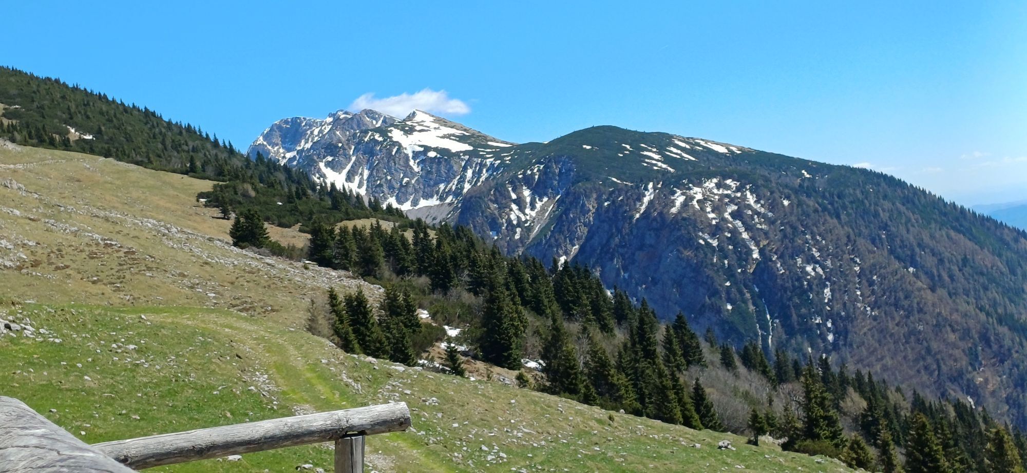
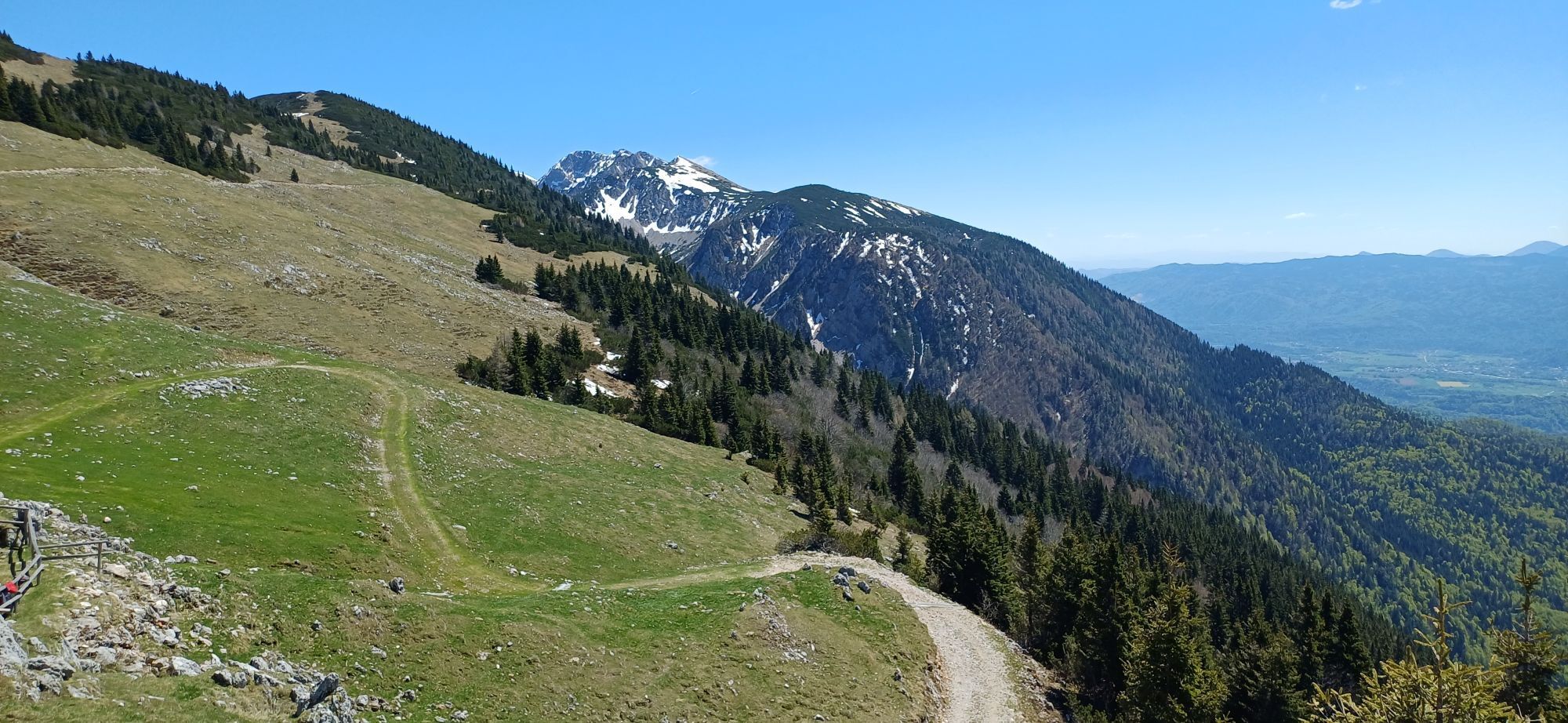
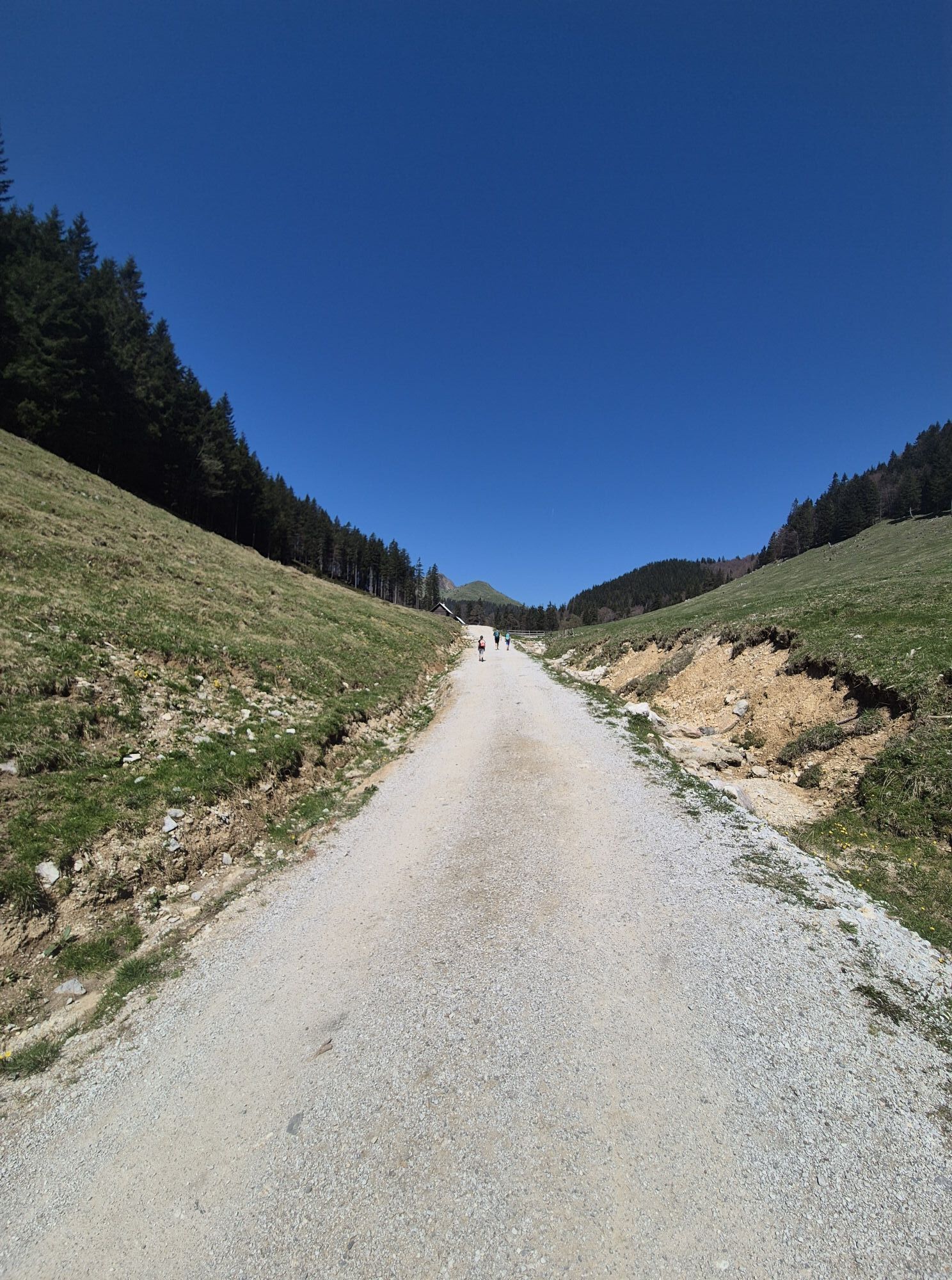
Continue across the pasture, past the huts and uphill into the forest, where you soon find a forest road turning back east. Follow it across steep forested slopes in a long, unbroken ascent to the shepherd’s hut at Belska planina mountain pasture (1698 m).
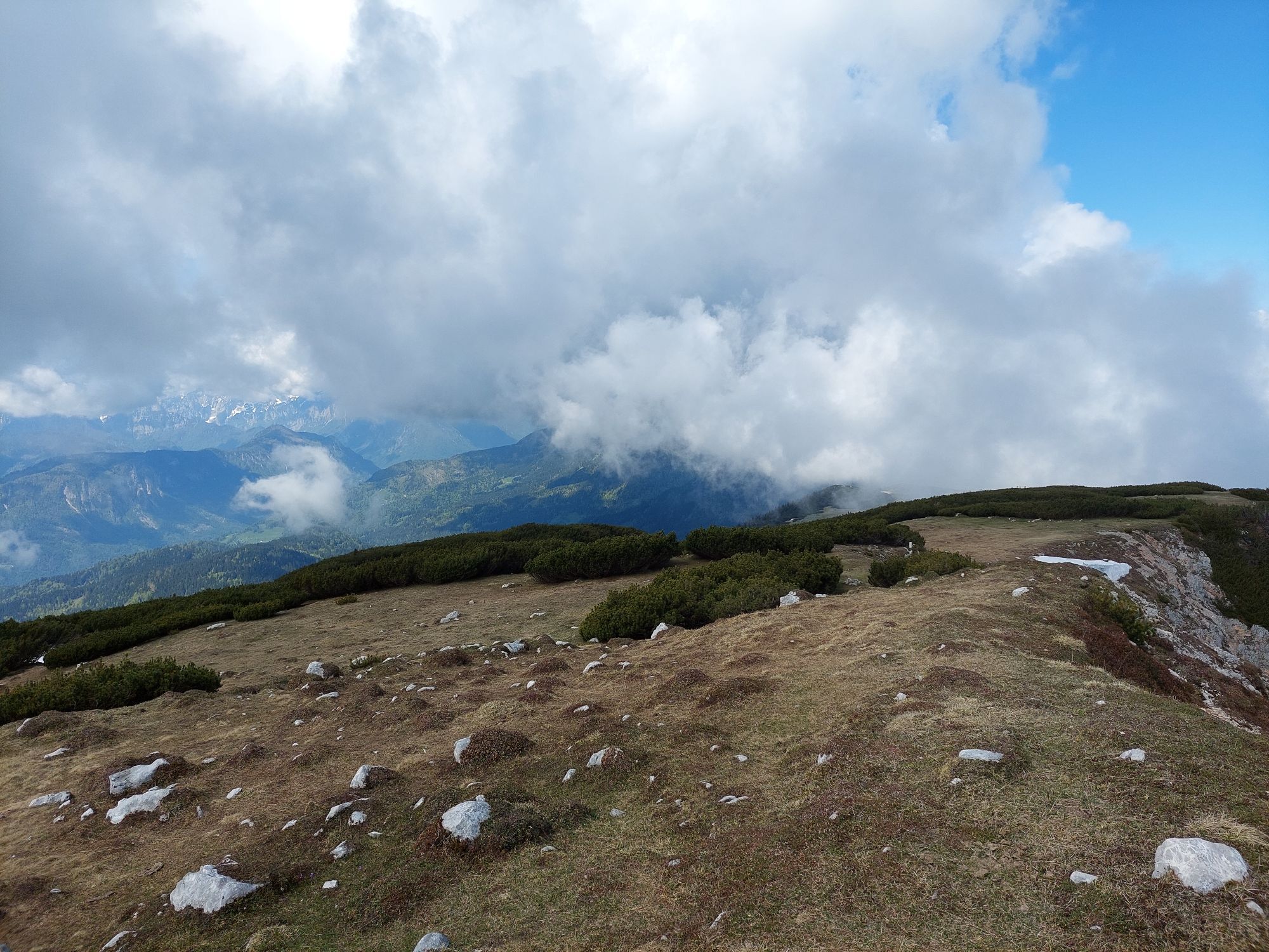
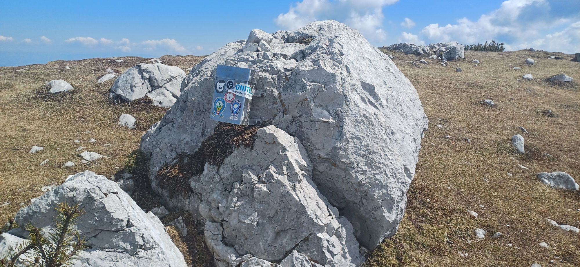
Above the hut the terrain opens. Continue always keeping right. First head toward a distinct gully leading to the highest part of the ridge and pass through it. Above the gully the slope eases. Around a few corners and shallow hollows, find your way to Veliki vrh, the highest point of the broad Struška ridge (1944 m). The summit is not a prominent peak but a small, tableâlike plateau; cornices here are less dangerous than on other parts of the Karavanke ridge. Slightly below the summit stands a radioâamateur equipment box.
Ski back along the ascent route. The descent is clear and up to Belska planina you can choose your preferred ski line freely. From the pasture to the starting point follow the forest road.
Áno
Standard winter equipment: avalanche transceiver, probe, shovel; touring skis, bindings, boots, helmet; skins, ski crampons; crampons and ice axe.
The tour is relatively safe. Up to Belska planina mountain pasture it follows a forest road, then continues across ski‑friendly slopes with little exposure to slips or avalanches. The forest road can be the most unpleasant part if it is frozen or icy.
Leave the regional road connecting Kranj and Jesenice at the steelworks in Slovenski Javornik and take the local road toward Javorniški rovt. Follow signs for Javorniški rovt and Dom Pristava. From Javorniški rovt continue about 4 km along the forest road to the Križovec saddle. The road is usually ploughed; if not, the approach becomes longer.
There are no useful public transport options.
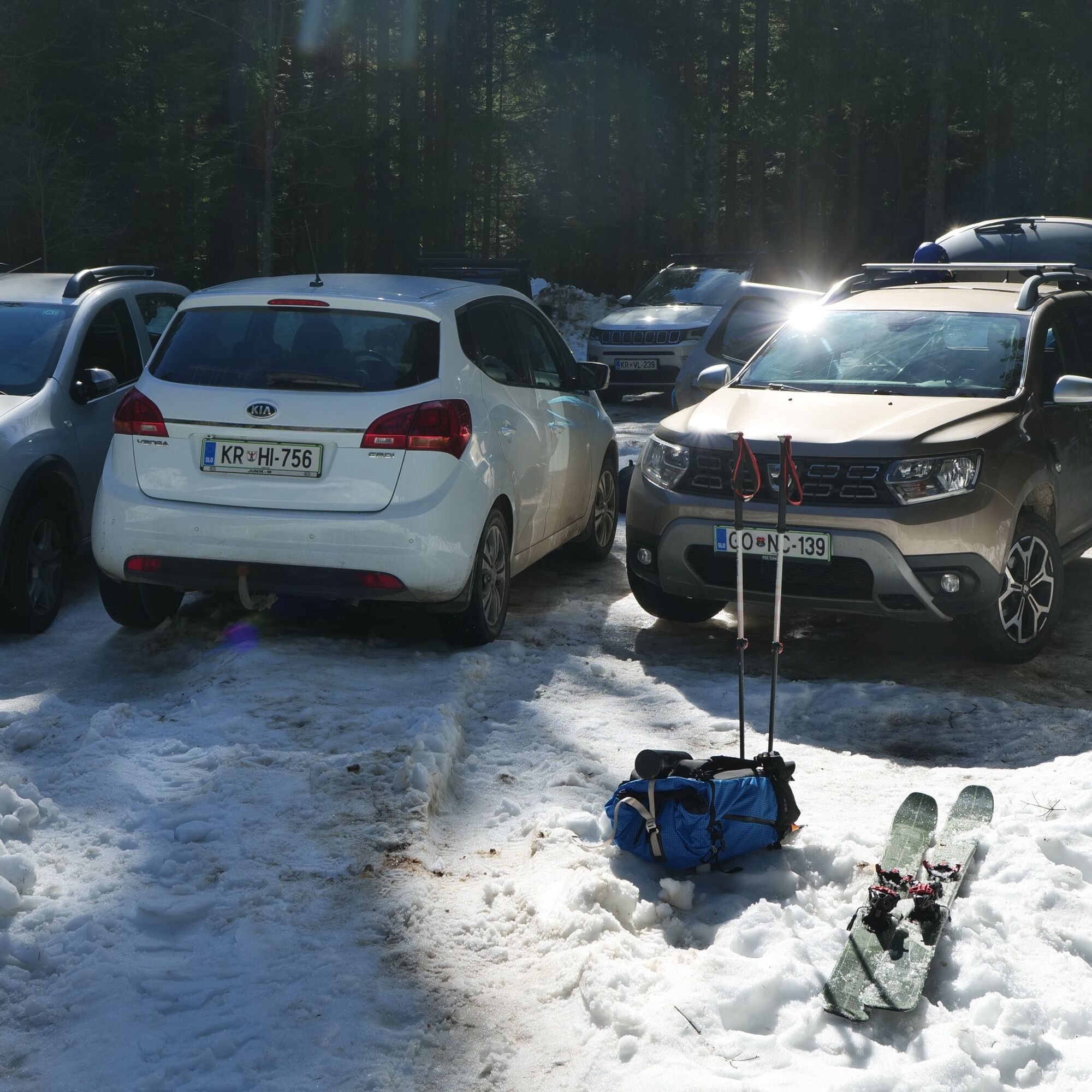
Park at the Križovec saddle (1222 m), where there is plenty of space.
F
In stable conditions you can slightly shorten and enliven the descent with a steeper shortcut from the road down through the forest to Pusti rovt mountain pasture.
Struška is a good choice even for less experienced ski tourers.
Obľúbené výlety v okolí
-
4,4
Mittagskogel - Rundwanderung
ťažkéTuristika 14,5 km -
4,2
MTB-Tour zur Klagenfurter Hütte
strednáMountainbike 12,6 km -
3,9
Tscheppaschlucht Ferlach
svetloTuristika 5,90 km -
4,8
Through the Tscheppaschlucht into the Loibltal
strednáTuristika 4,58 km -
4,6
Heart trail around Bled lake
strednáTematická trasa 5,93 km -
4,5
Slow Trail Meerauge
svetloTuristika 5,25 km -
4,3
From Bärental to the Kosiak (Klagenfurter Hut)
strednáTuristika 9,67 km -
4,6
Sinacher Gupf crossing
strednáTuristika 8,32 km -
4,2
Through the Tscheppa Gorge to Bodental
strednáTuristika 10,6 km -
4,7
Ogrisalm ab Bodenbauer, Kärnten/Österreich
svetloSkitour 11,2 km
Turistika a stopovanie


Nenechajte si ujsť ponuky a inšpiráciu na ďalšiu dovolenku
Vaša e-mailová adresa bol pridaný do poštového zoznamu.





