



Circular journey from Radovljica to Brezje



A long but wonderful hike through the Radovljica countryside leads from the town of Radovljica to the largest Slovenian pilgrimage center, Brezje. We have chosen beautiful paths that offer plenty of lovely...
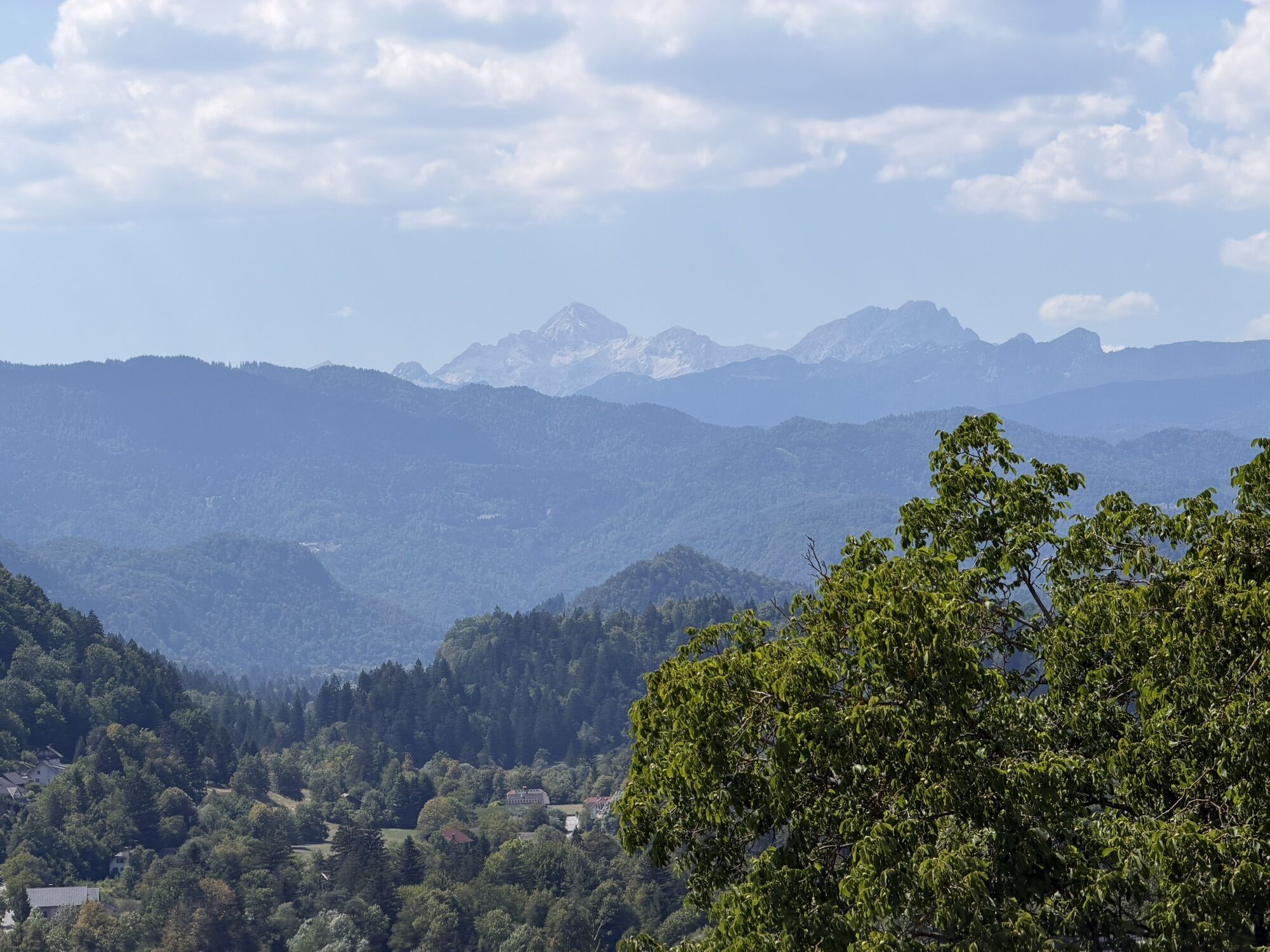
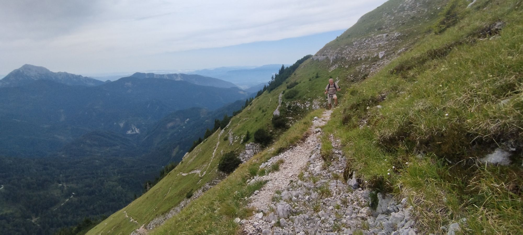
A long but wonderful hike through the Radovljica countryside leads from the town of Radovljica to the largest Slovenian pilgrimage center, Brezje. We have chosen beautiful paths that offer plenty of lovely views but primarily lead through lesser-known villages and existing thematic and pilgrimage trails. In Radovljica, you start on the Nature Educational Trail, which you follow to the Sava River and onwards towards Kamna Gorica. Just before the village, turn left and uphill towards Ojstra Peč. Past this scenic viewpoint, the path takes you to Zgornja and Srednja Dobrava. From here, you have wonderful views in all directions. From Srednja Dobrava, descend via Aljaž’s home-to-home path (which goes in the opposite direction) to the village Otoče, from where you proceed along the pilgrimage path Otoče-Brezje towards Brezje. You can also make a detour to the picturesque village of Ljubno. The path leads you to Brezje, whose main attraction is the Basilica of Mary Help of Christians and its cultural sights. You return from Brezje to Radovljica via Jakob’s path, which leads through Mošnje and past the Forest Educational Trail back to Radovljica.

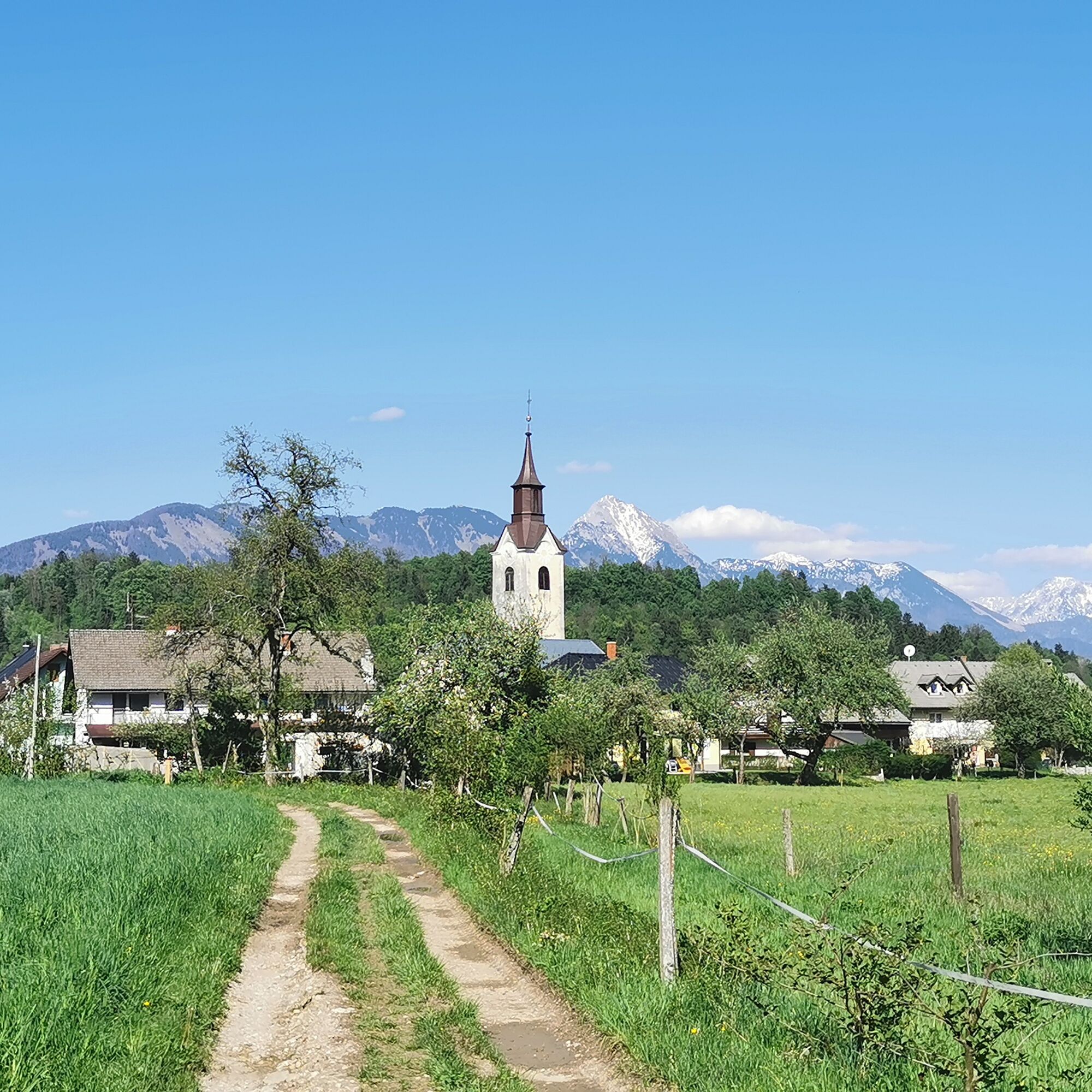


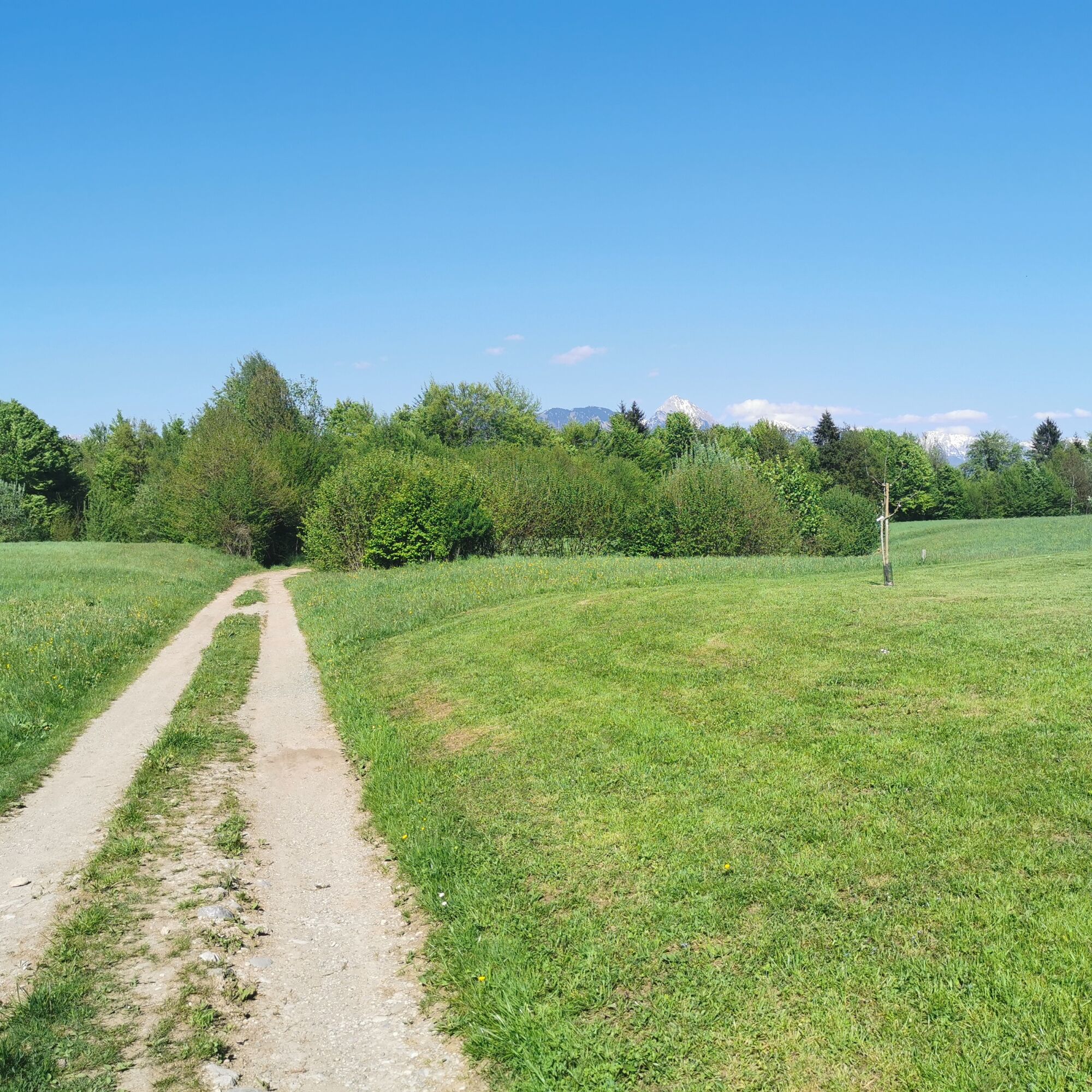

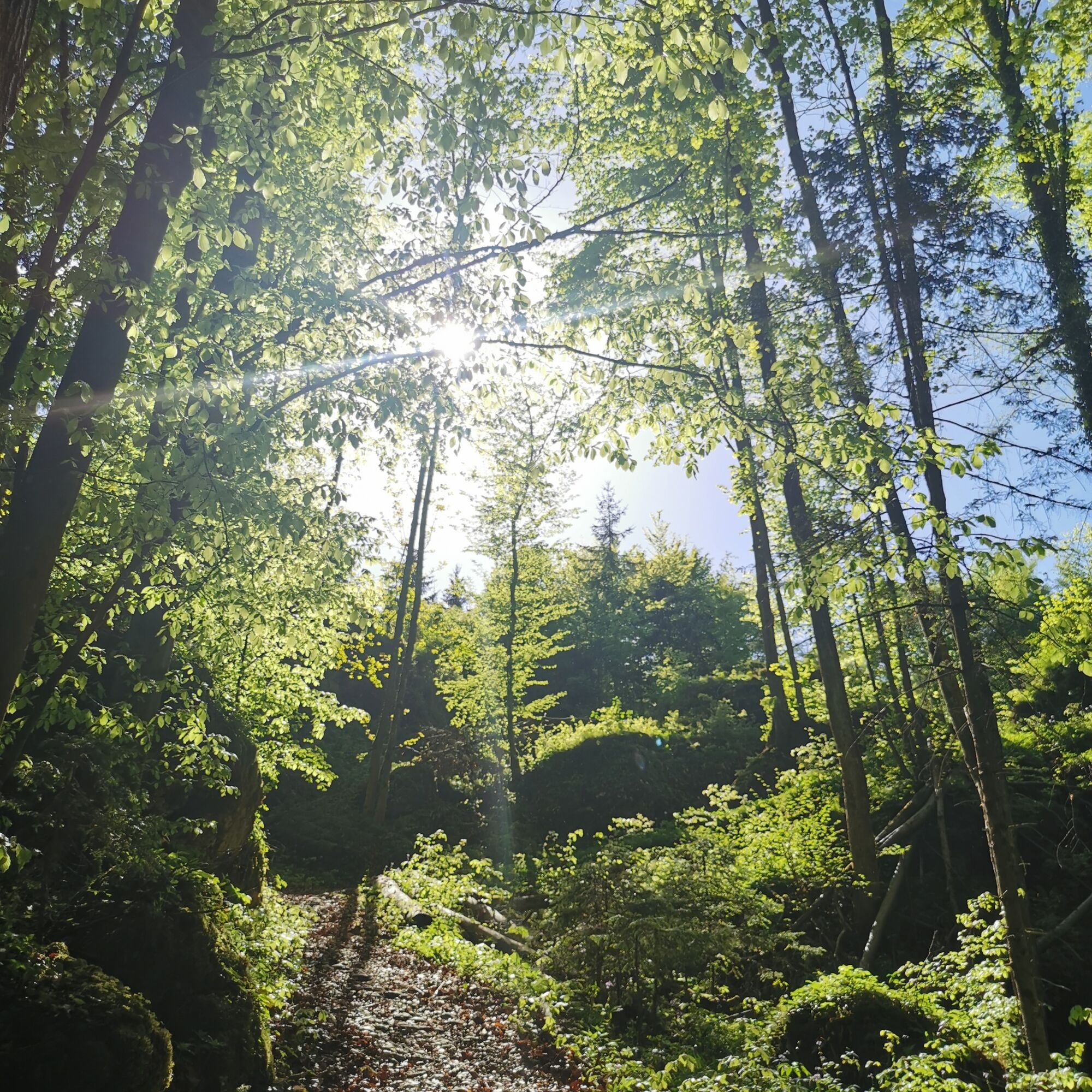


You start the route in the town center of Radovljica. The first part of the path is along the Nature Educational Trail Pusti grad. From TIC Radovljica, walk through Linhart Square past picturesque bourgeois houses, then turn right onto a street leading to a viewpoint. We definitely recommend a stop before continuing. From the viewpoint, head towards the cemetery, which, if you stand at the viewpoint looking at the town, is to the right. Before the bridge, descend stairs on the left side of the road into the forest (signs for the Nature Educational Trail Pusti grad).
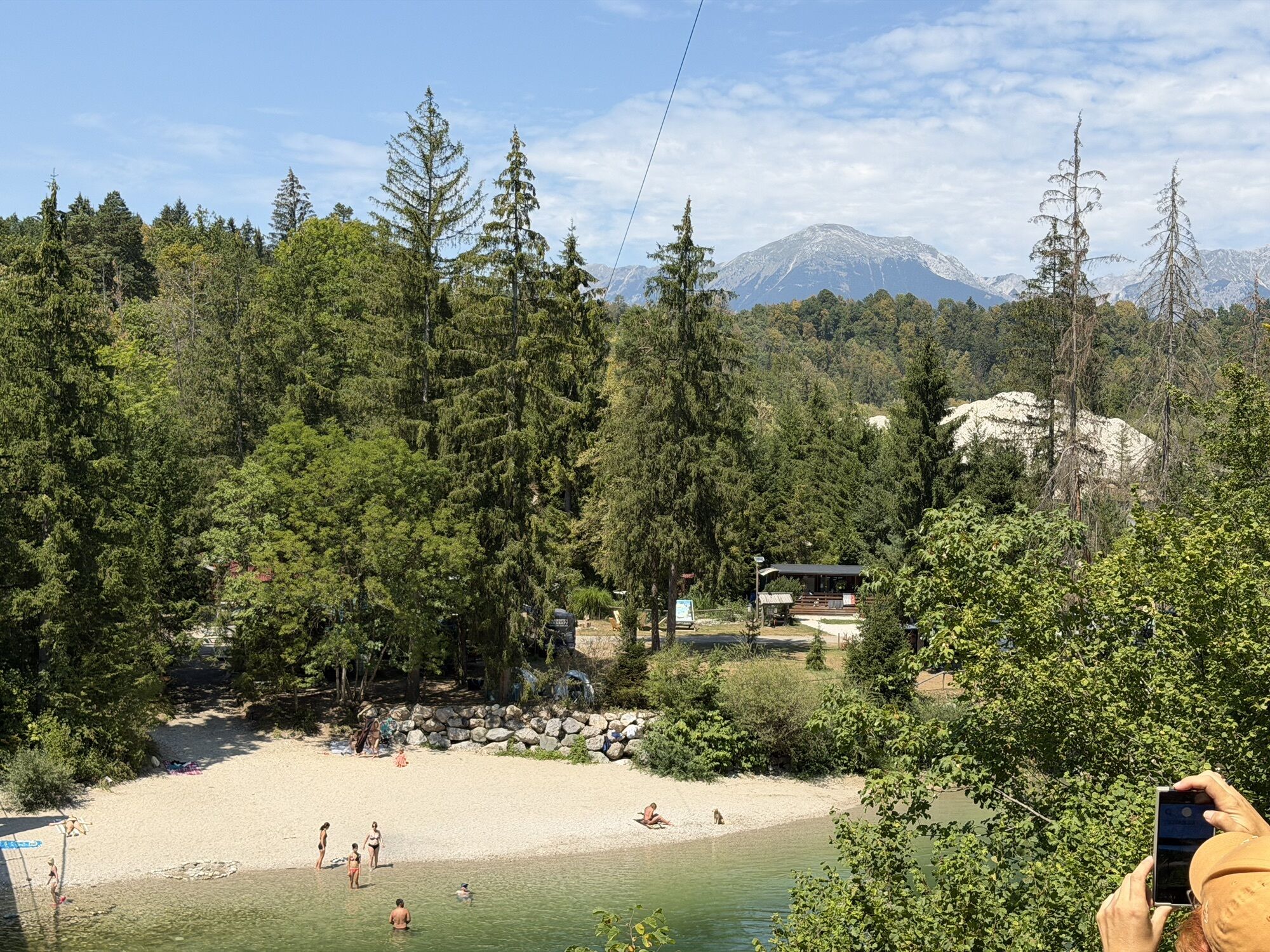
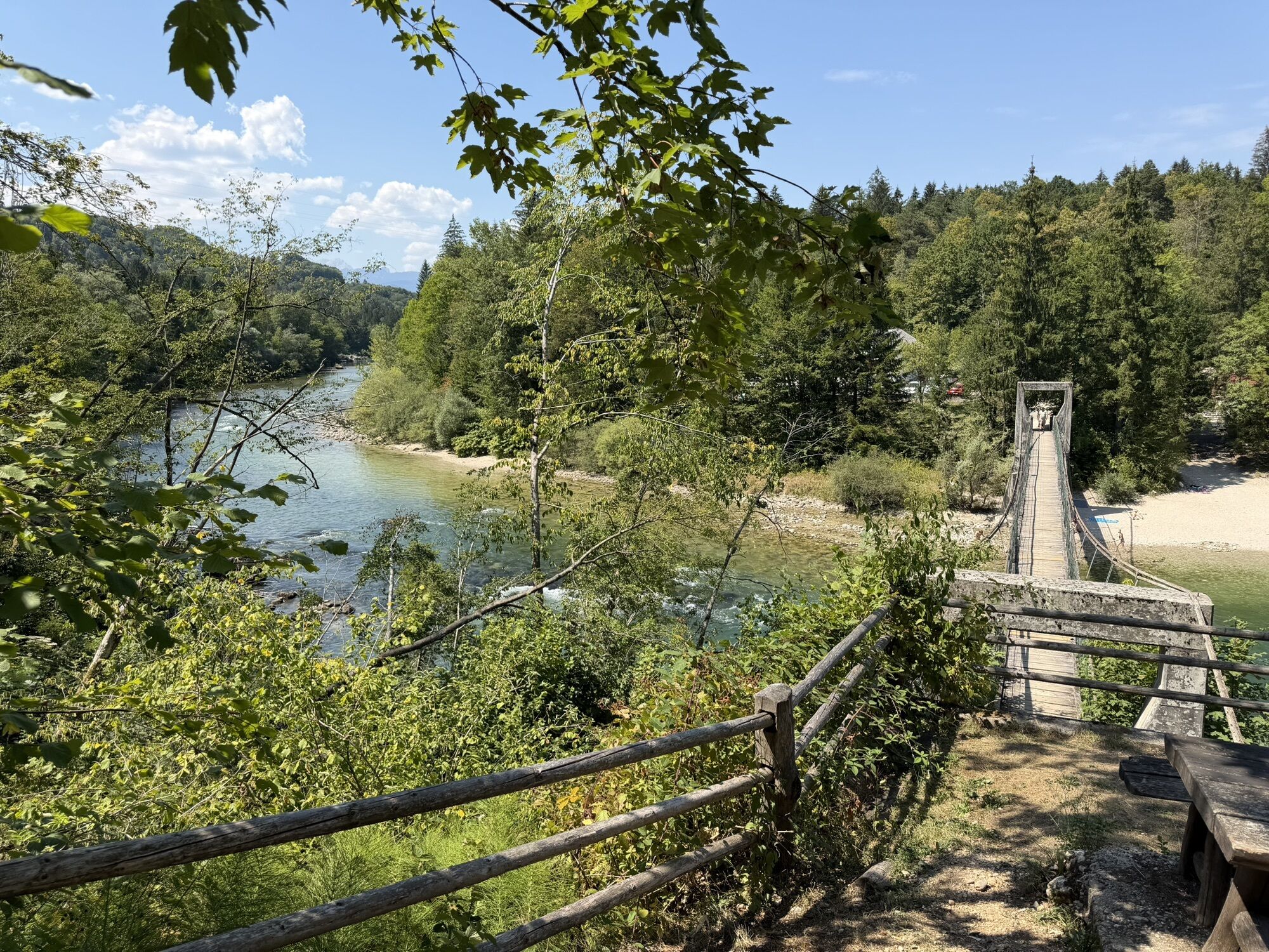
The path descends into the valley, then slightly ascends past a residential house and continues as a forest road towards the forest. You walk along a pleasant forest road until you reach a street. At the street, turn right, go through the railway underpass, then notice a smaller parking lot on your right in the village. On the other side of the parking lot, the Nature Educational Trail Pusti grad resumes as a forest path, which you also follow all the way to the Sava River. Approach the river past the Tina-Raft rafting center and cross the river on Fux's footbridge. On the other side, continue uphill, ignore the signpost to the Path along the Sava (which turns right here), and continue straight along the Nature Educational Trail Pusti grad. Several paths branch off left and right from the forest road, but remain on the path following signs to Kamna Gorica until you reach a larger crossroads of forest paths. (Just before this crossroads, the path for the Nature Educational Trail Pusti grad branches right, but you continue straight.) You will recognize this crossroads by an information board with a map directly in front of you, and on your left in the village, there is a Marian shrine. If you want to visit the picturesque village core of Kamna Gorica (5 minutes on foot) during the route, take the wider path to the right, otherwise choose the path that climbs “VreÄe” just after the information board. The path passes an interesting rock called "Vidovc" or "Frtala" up to the summit. At the top, you have two options again. If you choose the path straight ahead, which later bends slightly right, you will reach the Zijavko viewpoint (view of the village core of Kamna Gorica), or if you choose the left path, you come to the Ojstra PeÄ viewpoint (view over the Sava valley, Dežela, and Karavanke mountains). To visit both viewpoints, we recommend visiting Zijavko first using this circular route description.
As mentioned, the left path leads you to the Ojstra PeÄ viewpoint (mandatory stop at the viewpoint, but be careful at the edge!), then the path, which later widens into a forest road, continues through the forest. The path takes you to Zgornja Dobrava, arriving through a newer housing settlement. Walk straight and also straight at the crossroads. First, walk past farms, then the view opens to meadows ahead, and on the left, you notice the Church of the Exaltation of the Holy Cross. When you reach the hayrack in the grass, notice a path leading to the church. You can also walk further along the road past the village inn, then turn left onto a street leading to the cemetery wall. The church was served by parish priest Jakob Aljaž from 1880 to 1889, and his housekeeper was his mother Elizabeta, who also died in Dobrava and is buried here. The next part of the route is walked along the memorial Aljaž's home-to-home path. Next to the church is a cemetery with graves and a monument to WWII fighters. Among the comrades rests the Dobrava teacher, public educator, and national hero Stane Žagar. The eighteen broken wheat ears of the partisan monument were forged in Kropa in 1957 according to architect Boris Kobe's design, with verses written by Matej Bor.
From the church, continue right towards the houses in Srednja Dobrava (not back towards Zgornja Dobrava). Pass the Fire Station and old leaseholder’s house, then turn left at the crossroads. At the second newer house on the left side, notice the driveway continuing as a forest road. Turn onto this path, which leads past a new orchard into the forest. Several forest crossroads follow where you must be attentive and follow navigation. At the first Y-shaped crossroads, choose the right/upper path; after a few meters, you will reach another Y-shaped crossroads, cut perpendicularly by a narrower path. Here continue straight on the left path, which passes a sign for the Water Intake and soon turns into a forest trail. The beautiful path descends past rocky boulders and widens again in the lower section. Walk straight, and on the right, you will notice a sunny clearing with a hut; continue onwards towards the village. You approach the village OtoÄe passing a larger wooden hut along the forest road. When the forest road meets an asphalt road, turn onto the asphalt path, which leads between two farms to the main road. Here, turn right and descend along the village road towards the railway line. Ignore all subsequent right turn-offs and cross the railway line at the bottom. Here you can go through a park by the railway station that contains a replica of the Marian statue. OtoÄe was once an important railway station from where pilgrims walked to nearby Brezje. This is still commemorated by the park statue, which is a replica of the original. The original is located at a side entrance to the Basilica of Mary Help of Christians at Brezje. From here, you will continue on the pilgrimage path OtoÄe - Brezje. From the railway station, continue along the main road to a bridge over the Sava River. Cross the river (there is an inn on the right) and continue straight to the main road.
When you reach the road, you have two options. You can continue on the God's path OtoÄe - Brezje and visit the picturesque village of Ljubno. In this case, cross the road, turn left, and choose the footpath (signs) that leads to the village in 15 minutes on foot. Alternatively, you may skip Ljubno by turning left onto the road and walking about 10 minutes along the main road. This leads to the PeraÄica stream (bridge), which you cross, then immediately turn onto stairs on the right side rising into the forest in the village. Follow the pleasant trail up to Dobro polje, then continue past a house along the path. At a smaller crossroads, turn left towards the main road, then right to the underpass. Go through the underpass, continue along the road, and then turn right onto a road climbing to Brezje. Upon arrival in the village, walk straight through it and at the third crossroads, turn left towards the Basilica of Mary Help of Christians.
From Brezje, return to Radovljica along the long-distance Jakob’s path, which leads across Gorenjska to Sv. Višarje. From the Basilica, head west on the main road (direction Ärnivec/AC). Cross a large roundabout, pass a pizzeria, cross the road, and continue straight on a gravel road. Ignore all turn-offs left and right and keep going straight until the gravel road ends. Then continue along a trail leading to the village Mošnje. Just before the village, turn right on a path that joins another path at a right angle. Turn right again and ascend into the center of Mošnje village. Upon reaching the road, turn left and before the church of St. Andrew, turn left again. The road takes you to a Y-crossroad where you join the main Mošnje - Globoko road and head straight towards Globoko. Walk along the main road past houses. At the end of the settlement, a smaller road branches off to the right that takes you to the ruins of Villa Rustica (5 min), while you continue down the main road and under the underpass to the crossroads. Here, turn right onto a road that initially runs parallel to the highway, then descends into the forest towards Radovljica. The road descends into the valley of the Zgoša stream, turns into a gravel road, and then ascends again. Now you walk along the Forest Educational Trail Radovljica, which spreads through the forest on both sides of the gravel road. Signposts, tree nameboards, and information boards at parking indicate the Forest Educational Trail. As you approach Radovljica, the highway appears again on your right. Near the highway parking area, the gravel road changes into asphalt. Continue straight, ignore all turn-offs from the main road to the left and right, and stay on the road (Ljubljanska Street) until the crossroads with GubÄeva Street. GubÄeva Street joins Ljubljanska Street from the left after you have already noticed a series of old farms on your right, standing perpendicular to Ljubljanska Street, and on your left across the green valley, you spot the old town center of Radovljica with a church and manor. GubÄeva Street leads steeply downhill and then climbs towards the old town center. To conclude this picturesque journey, walk through the town’s defensive moat at the end of GubÄeva Street and climb stairs on the other side of the moat to the roundabout, where you will already see your starting point - TIC Radovljica.
The start of the route is near the Radovljica bus and railway station. Radovljica is excellently connected by bus lines with Bled, Jesenice, Kranj, and Ljubljana. The Radovljica railway station is located on the Ljubljana - Jesenice line.
In Radovljica, we suggest parking at the parking lot on Kajuhova Street, where there is no time limit.
The trail is not marked, so navigation is required, especially on the section between Kamna Gorica and Otoče.
Obľúbené výlety v okolí
-
4,7
Heart trail around Bled lake
strednáTematická trasa 5,93 km -
4,1
Über den Bärensattel auf den Hochstuhl
ťažkéTuristika 17,2 km -
4,5
Vintgar Gorge
strednáTuristika 7,69 km -
4,9
Bärental: Vrtača 2180, Svačica 1959
strednáTuristika 13,4 km -
4,1
Hochstuhl (2237m) über Klettersteig (B/C) und Klagenfurter Hütte
ťažkéVia ferrata 10,3 km -
4,8
Begunjscica
strednáTuristika 12,0 km -
4,8
Vertatscha
Turistika 12,8 km -
4,9
Mala Osojnica, Bleder See
svetloTuristika 2,68 km -
4,3
Hochstuhl über Klettersteig, Kärnten/Österreich
strednáTuristika 11,1 km -
4,8
A circle from Ljubelj/Loibl
svetloTuristika 13,4 km
Turistika a stopovanie


Nenechajte si ujsť ponuky a inšpiráciu na ďalšiu dovolenku
Vaša e-mailová adresa bol pridaný do poštového zoznamu.


