



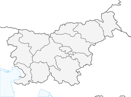


From Radovljica to Bled (and to Straža)
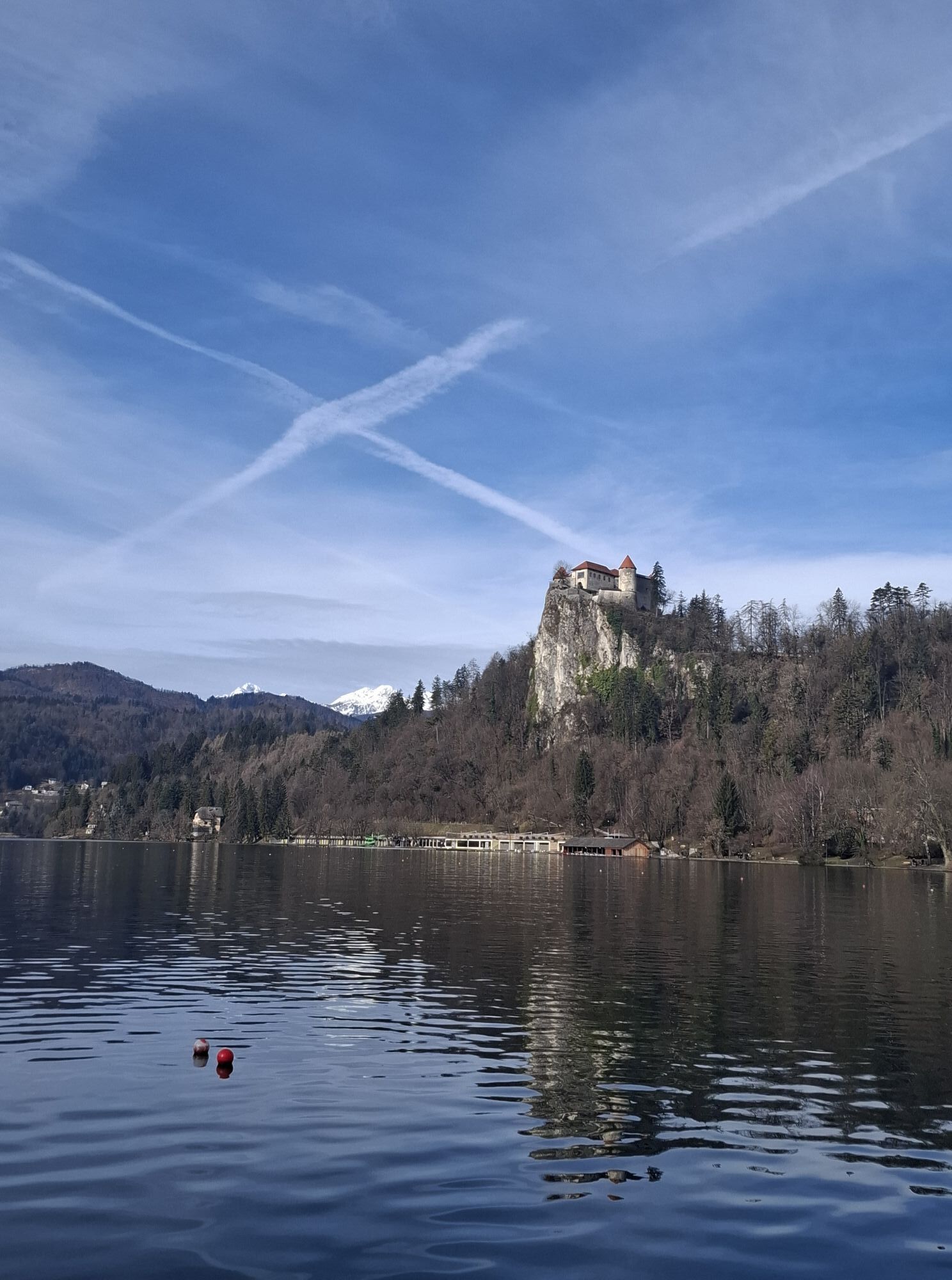
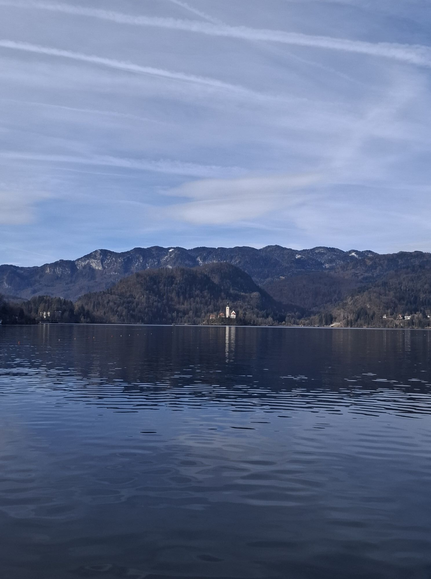
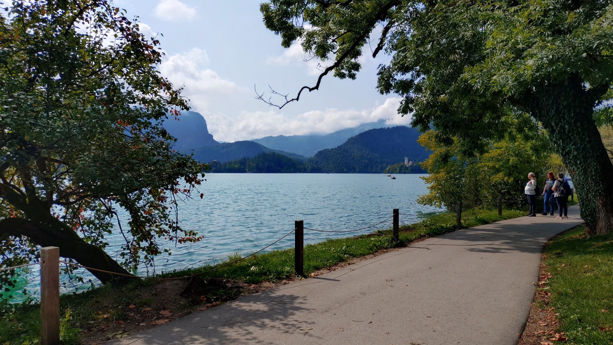
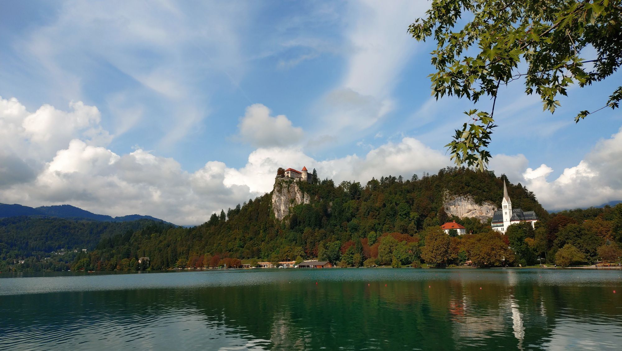
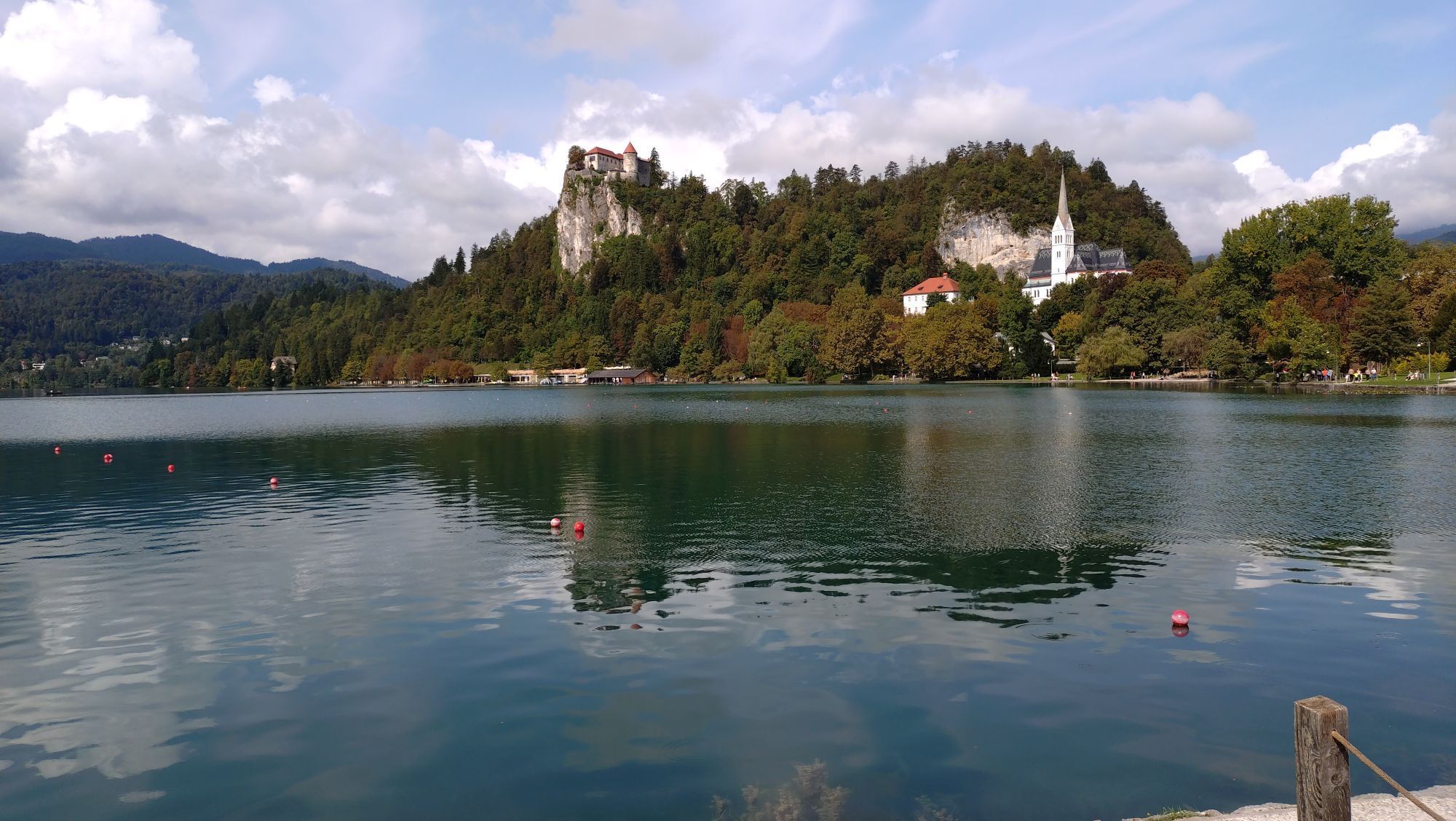
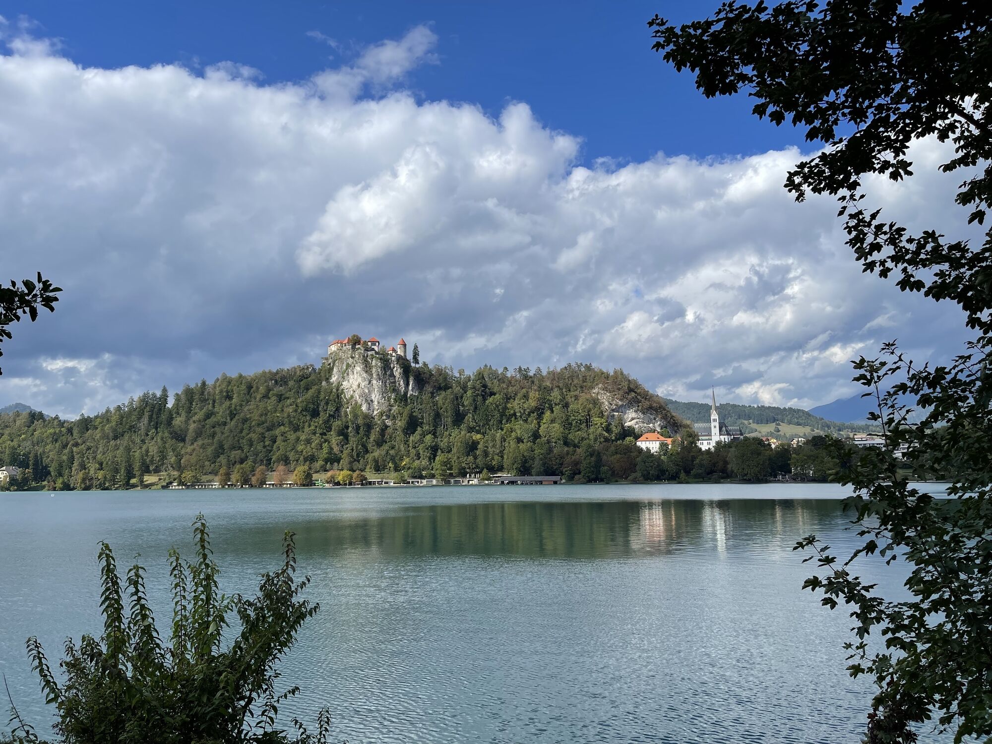
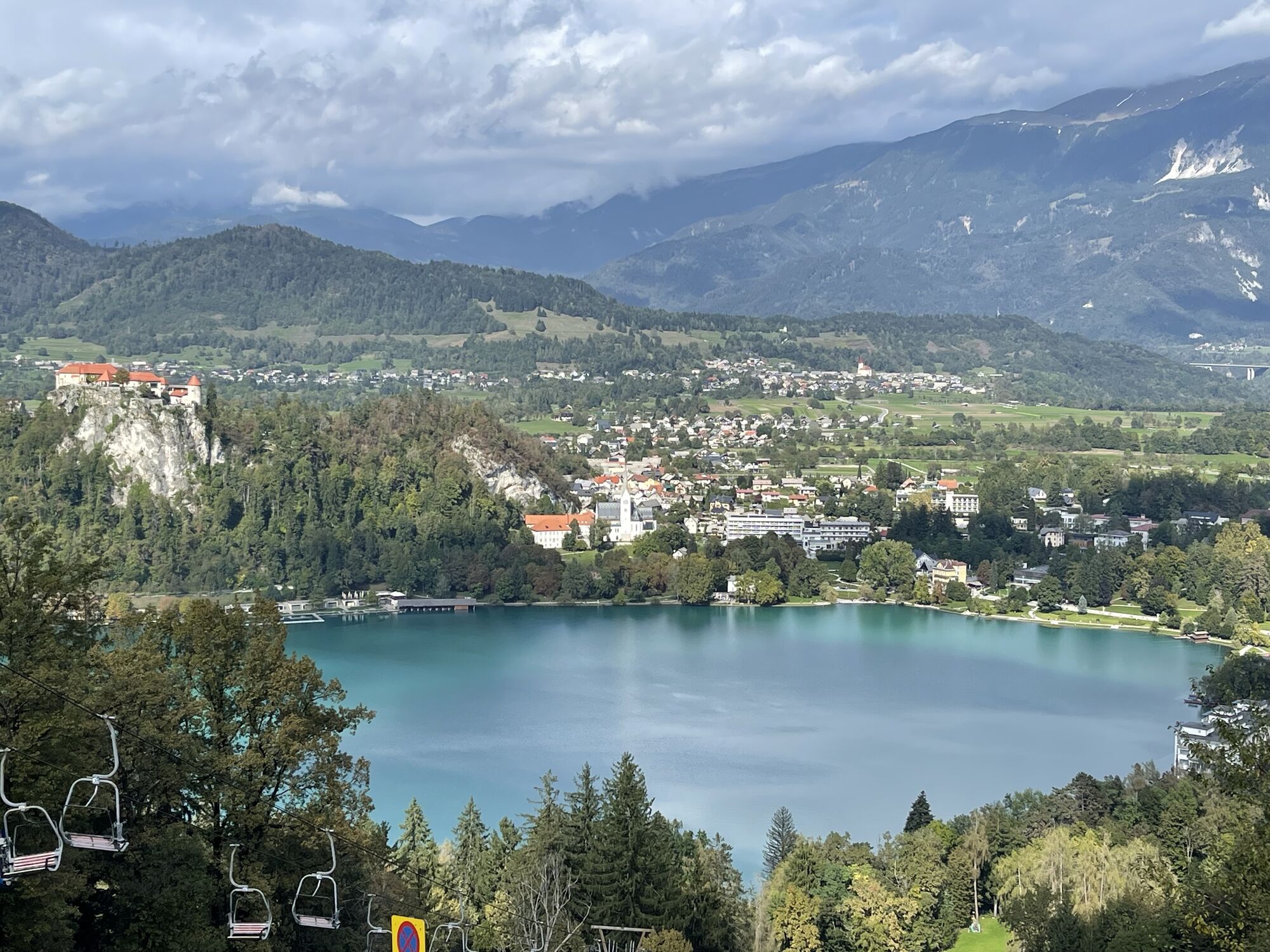
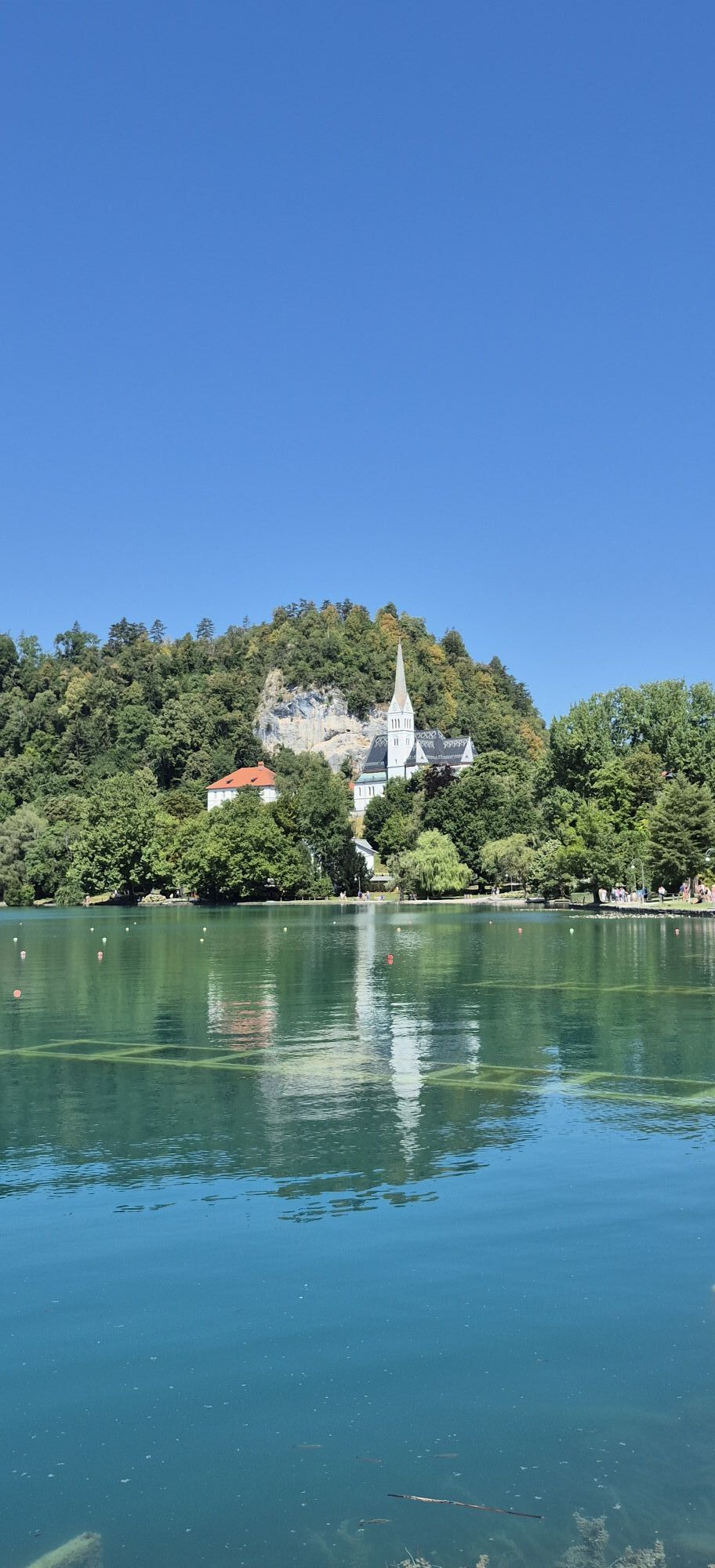
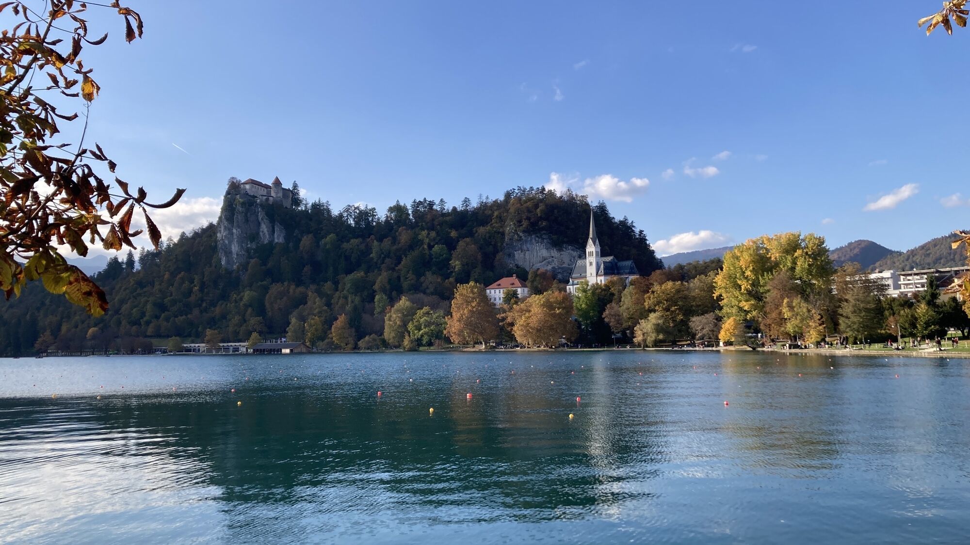
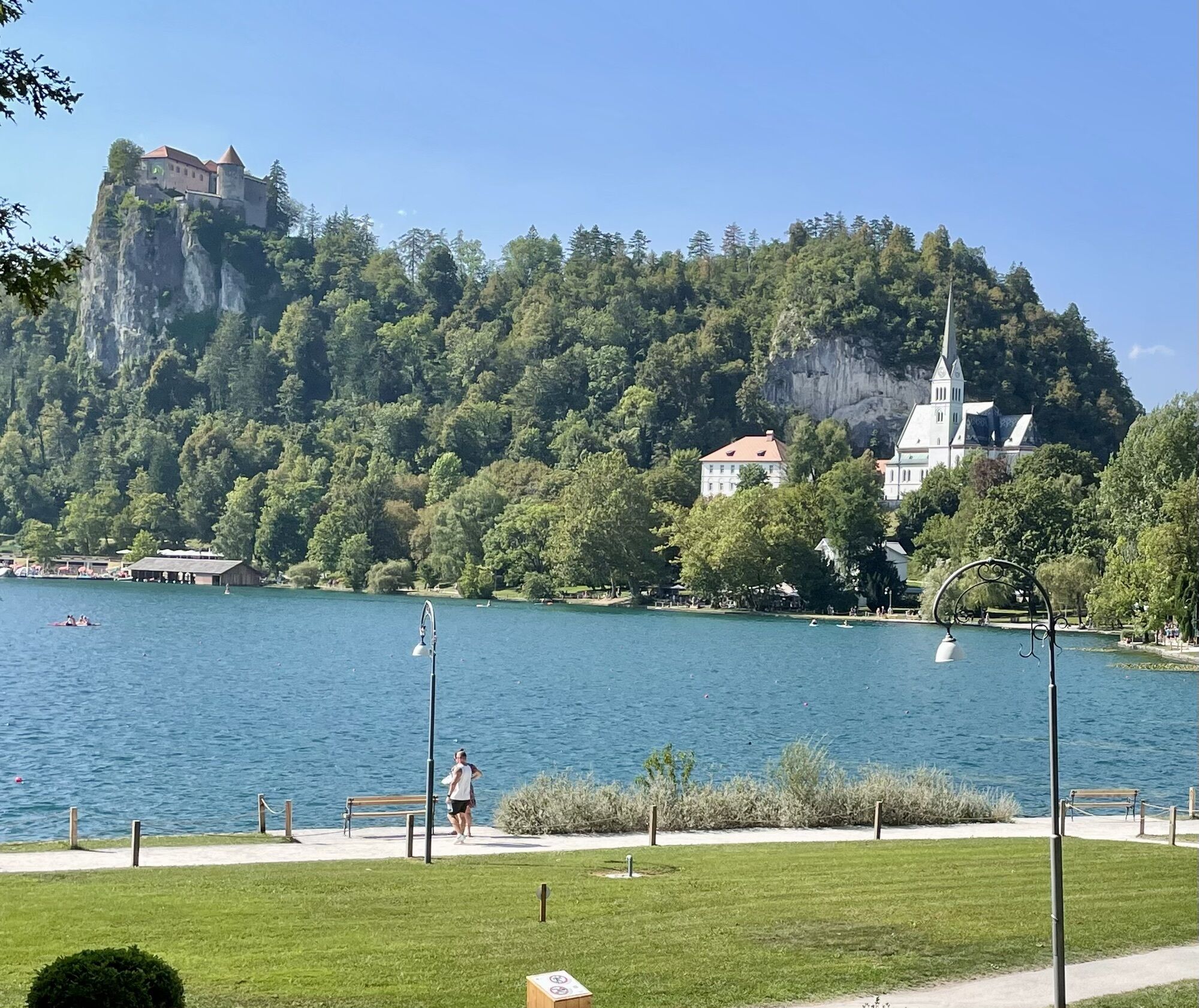
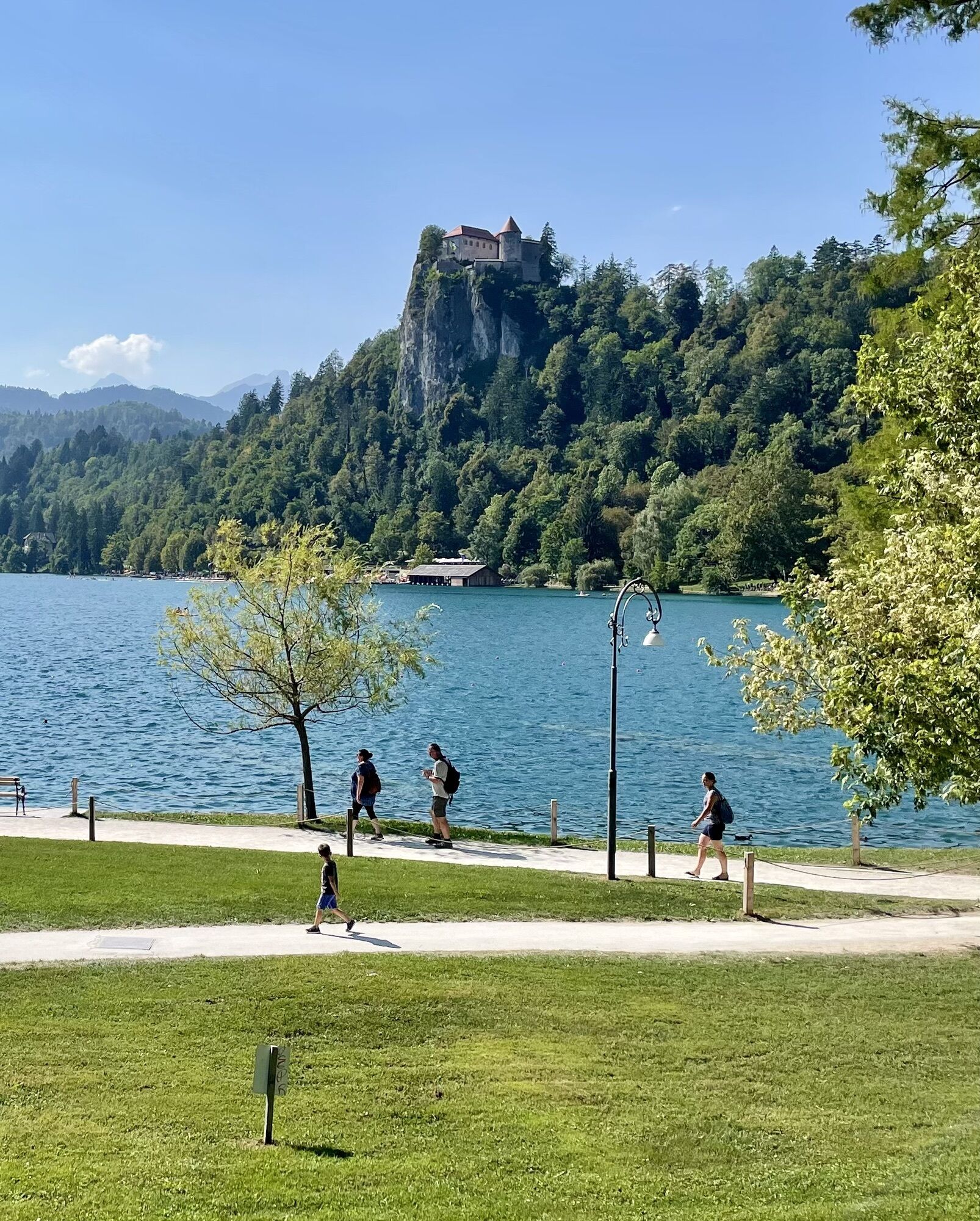
There are several paths between Radovljica and Bled. This proposal mainly follows forest and field trails. From the town center of Radovljica, head to Bled along the 4th trail of the popular Julian long-distance...
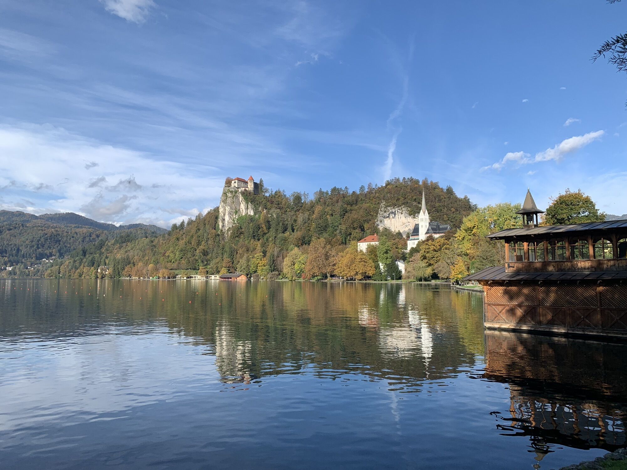
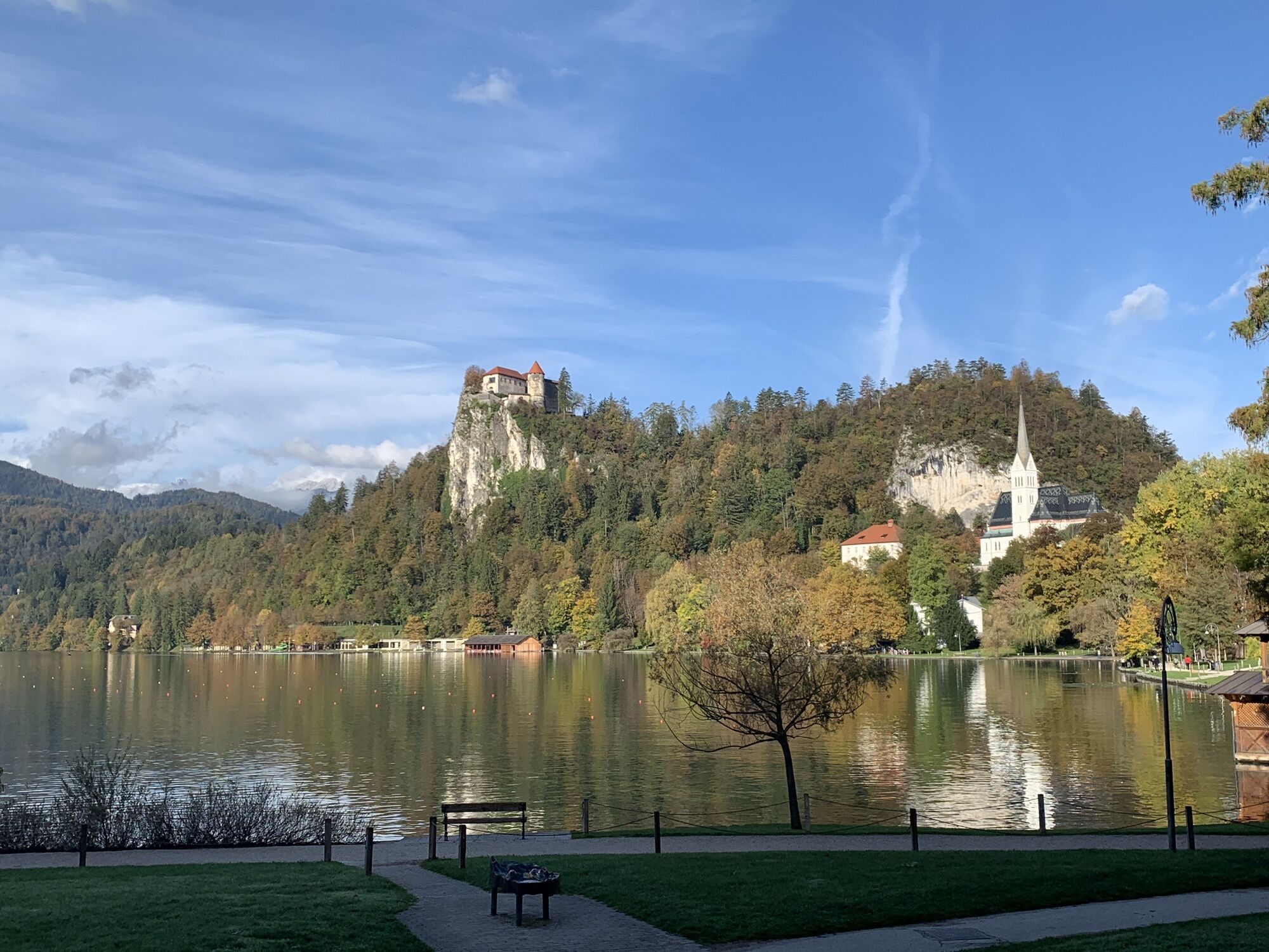
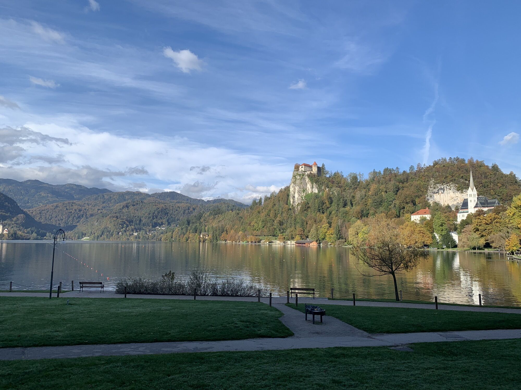
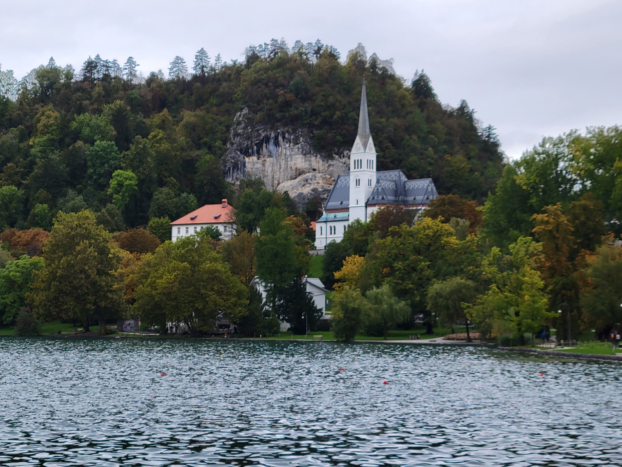
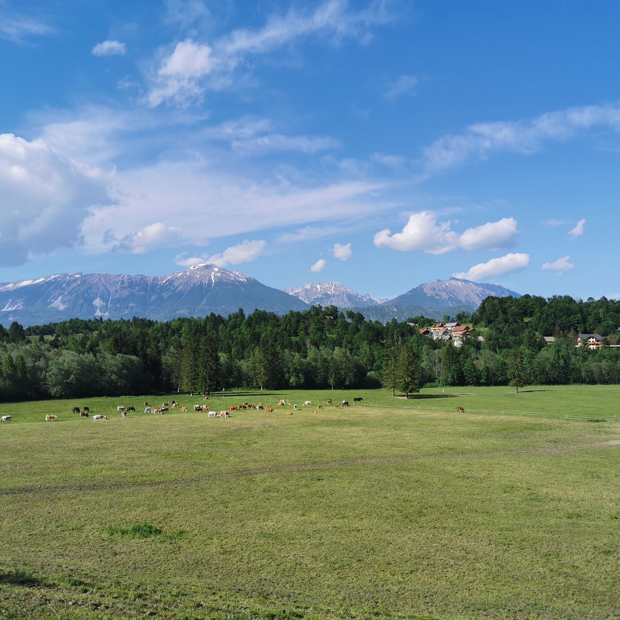
There are several paths between Radovljica and Bled. This proposal mainly follows forest and field trails. From the town center of Radovljica, head to Bled along the 4th trail of the popular Julian long-distance hiking trail, and the return path goes through the village Ribno and along the Sava Bohinjka river. To ensure the path includes a proper view and a summit, head to the popular hill Straža at Bled, located right by the lake. There awaits you an excellent view of Lake Bled and the Julian Alps on one side and the Radovljica Plain on the other side.
For the circular route, it is recommended to take a whole day, as the path offers many opportunities for gourmet enjoyment, relaxation on the meadows by the Sava Dolinka or Sava Bohinjka rivers, and sightseeing in Bled. As a curiosity, on this path you will cross both the Sava Dolinka and the Sava Bohinjka rivers, and finally the Sava river itself.

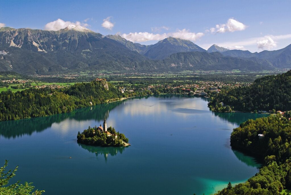
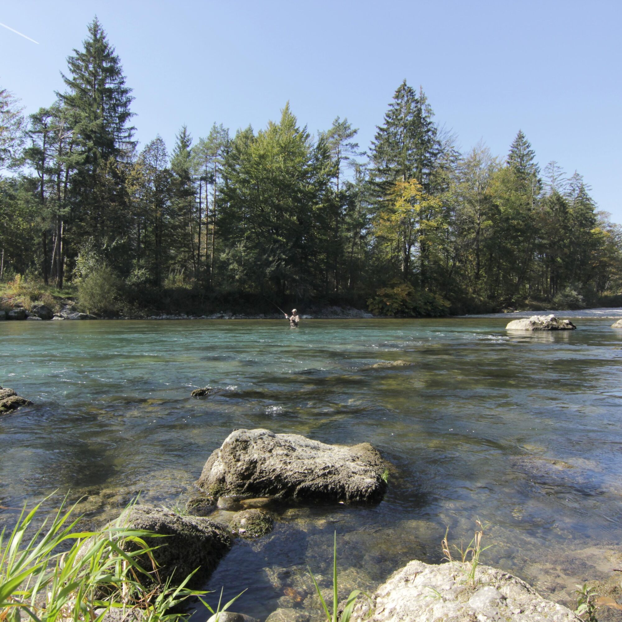
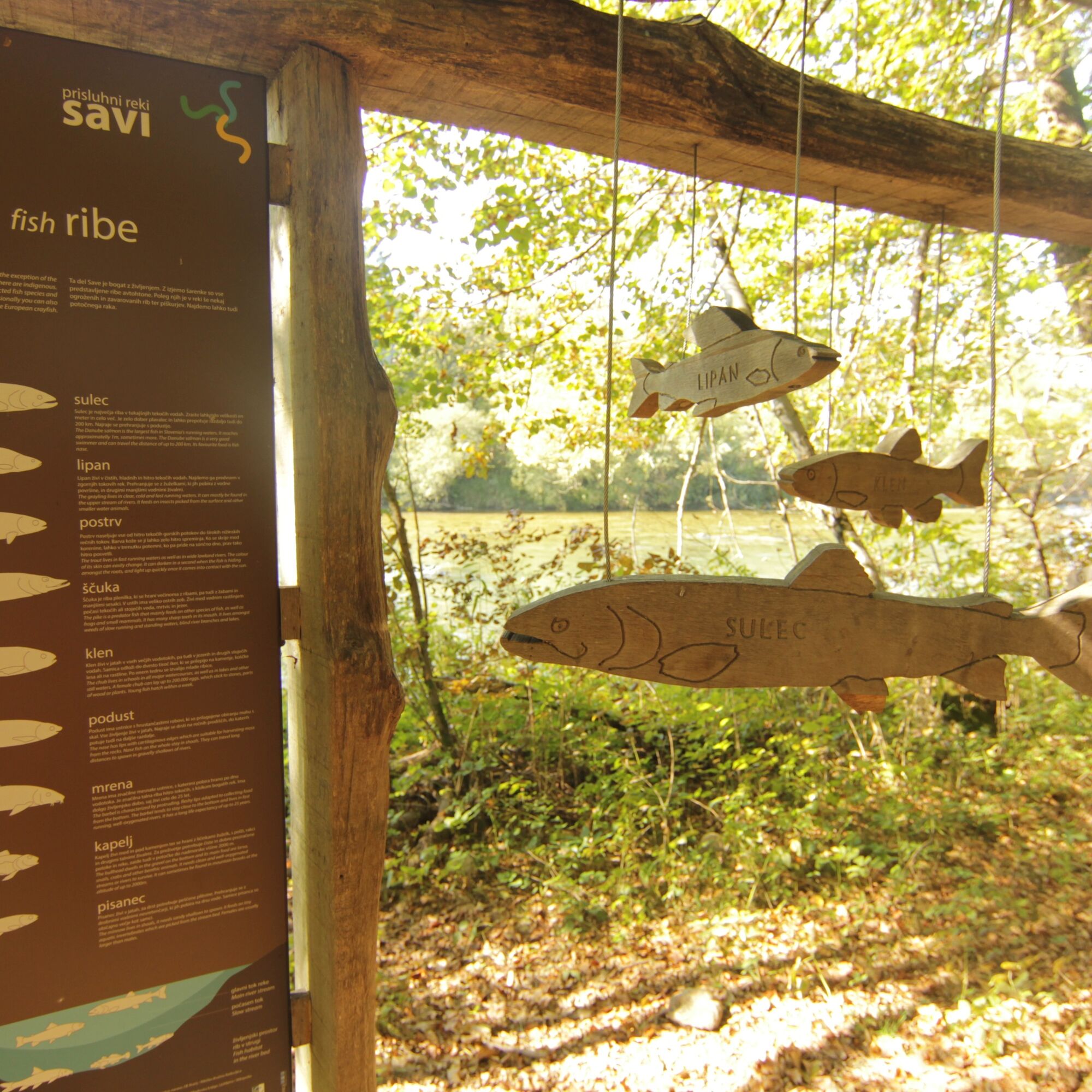
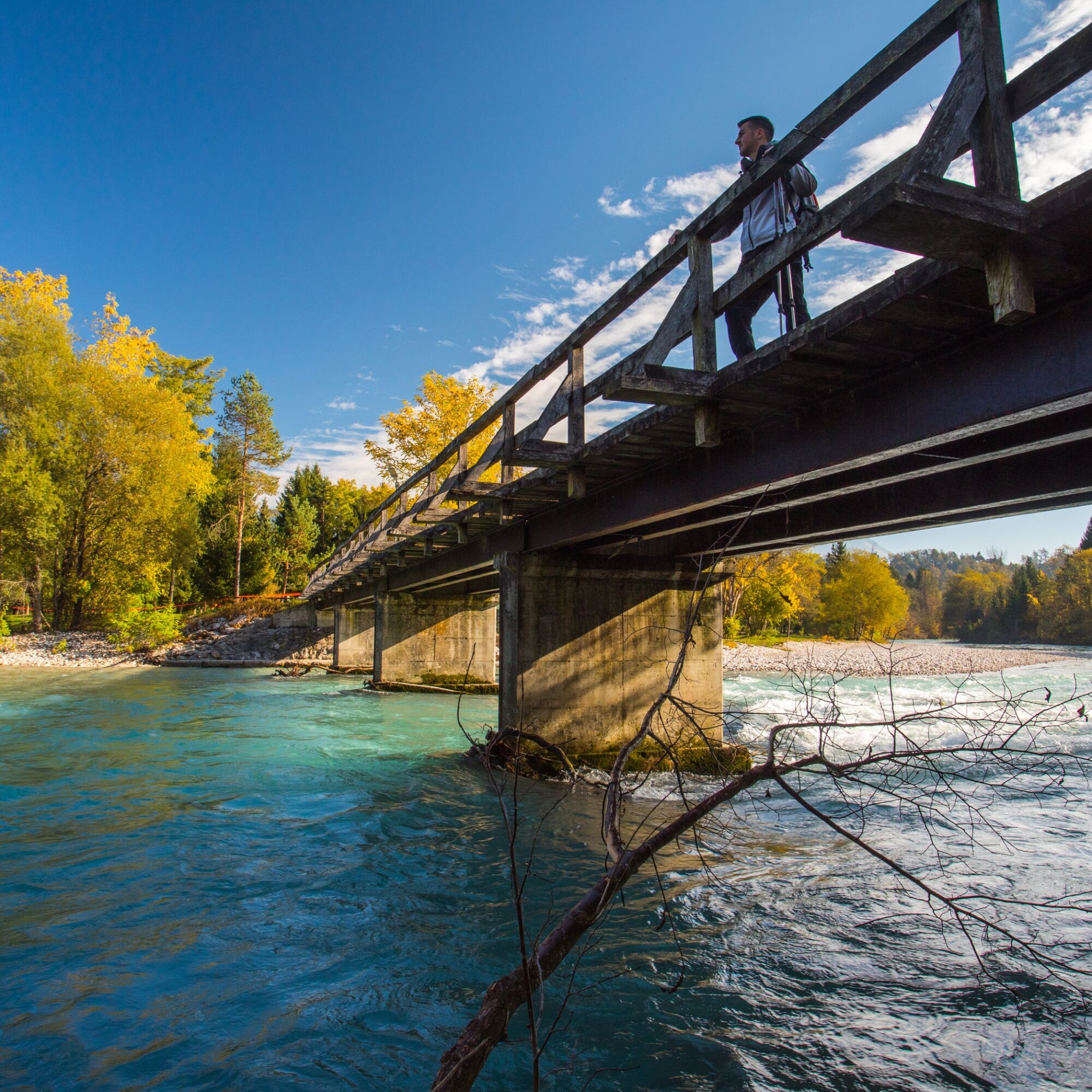
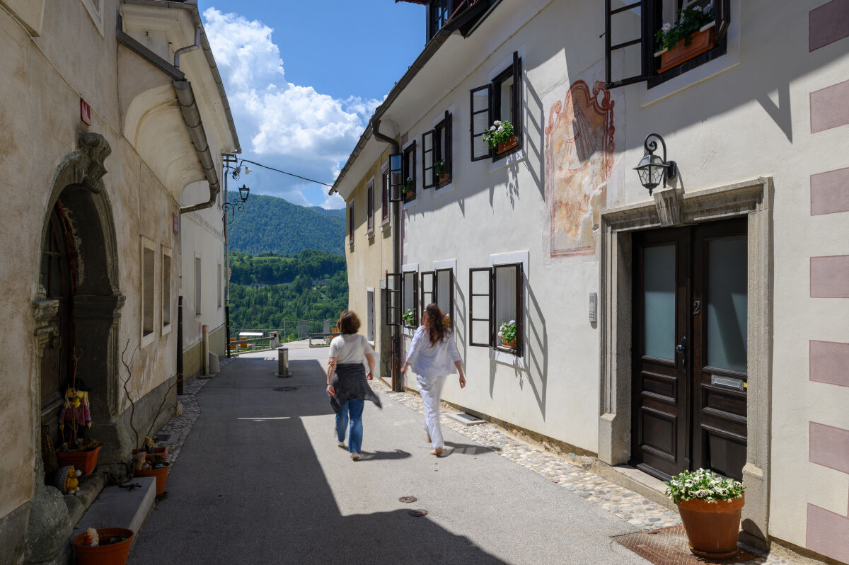

Start the path near the bus station in Radovljica. From there, cross the street and head toward the smaller market. Just before the market (bar Kocka), turn left and you will see an information board for the Julian long-distance hiking trail. From here, follow the trail signs all the way to Bled. First, turn right down a local road past the local pharmacy, then continue on a forest track. This leads under the walls of Radovljica Park and past the birthplace of architect Ivan Vurnik towards the old town center. When you reach the intersection below the town, on the right look for the road that steeply ascends through a tunnel. Enter the tunnel, which is actually a former defensive city moat (the only preserved one in Slovenia). Walk through the moat, then for a while leave the Julian trail and continue downhill on the hill. Save the stroll through the charming Linhart Square for the end. When the steep road ends at a bridge over the railway, you are back on the Julian trail. Turn right and walk down Freedom Street towards the Sava river. Just before the road joins the main Radovljica - Lancovo road, you will notice a path on the left going down. Take this path down and before the bridge over the Sava, turn right towards the woods. From here to the Šobec campsite follow the themed Sava path. It leads you to a meadow above the campsite where you turn left and walk along a gravel path, then turn right and soon left again downhill. You reach the Šobec campsite parking lot and enter the campsite past the reception. Although there is an entrance fee for the campsite in summer, the wardens understand and recognize hikers and allow them through. Walk through the campsite (at the roundabout choose the right main branch - the toilets are on your right) and walk parallel to the Sava Dolinka river flow. When you reach the bridge over the Sava, cross it and on the other side turn right. The path first runs along the river then rises to the village of Koritno. At the asphalt road, turn left and go through the village to the main road. Here turn right and walk beside the main road for a while which takes you to Bled. When you reach the main road in Bled, turn left and walk to the lake. Here a stop is mandatory to admire the beauty of Bled before continuing the path.
When you decide to continue, return to the main road towards the shopping center. To the right of the shopping center you see an asphalt slope to climb. At the top look for stairs on the left that lead between houses and follow them. On the street turn right and then follow the path to the local road. Turn right, before a large gravel parking lot turn left uphill. Keep climbing and at two crossroads always choose the right path. Stone stairs lead you to a viewpoint with a wooden hut. Continue right towards the ski resort. When you reach it, walk up the ski slope to the top of the ski area. Then continue straight and at the first crossroads turn left, and stay on the path around the adrenaline park. Complete the loop below the ski slope summit on the familiar path. Head down and soon turn right on the way down. On the descent, stay slightly right and remain on the main path. When you reach a larger intersection in front of a settlement of single-family houses, go straight and walk along the slope of Dobra gora (on your right) towards the village Selo pri Bledu. Ignore all side paths until the path you are on splits. Choose the left path. Walk towards the village Ribno. When the path approaches the main road, turn left, cross the road and continue on the path slightly to the left. The path brings you to the village of Ribno. When you reach the main road through the village near the fire station, turn right and then at the first intersection turn left. Take this road downhill into the Sava valley. When you come to another road, turn right and soon leave Ribno. Continue ignoring all side paths left and right, and proceed towards the bridge and cross the Sava Bohinjka river over the bridge. On the other side at the intersection turn left and continue on the gravel path across the meadows. At the crossroads choose the lower left path and walk on it until the next bridge. This time do not cross the Sava Bohinjka river but continue straight along the right bank of the river towards the village of Lancovo. When you reach the village, continue straight ignoring all side paths. The road takes you to the main road Radovljica - Lancovo and on the left you see a bridge over the Sava river. Cross the river and you are on the familiar path. This time climb back towards Radovljica by the same path. At the end do not forget the Radovljica town center. After crossing the railway bridge on the road, continue right and after about 100 meters you will reach a well-maintained viewpoint. Turn left and you are in the beautiful Linhart Square. Walk straight through the square to a smaller roundabout. Cross the roundabout and turn into the park (Vila Savnik is on your right), walk through the park and you will see the bus station.
Áno
 Získajte prehľad
Vždy naživo na mieste s viac ako 9 500 webovými kamerami. bergfex Ako používateľ Pro si teraz môžete pozrieť príslušné webové kamery pre mnohé zájazdy v aplikácii zájazdy z. Môžete si tak priamo prezerať aktuálne podmienky.
Získajte prehľad
Vždy naživo na mieste s viac ako 9 500 webovými kamerami. bergfex Ako používateľ Pro si teraz môžete pozrieť príslušné webové kamery pre mnohé zájazdy v aplikácii zájazdy z. Môžete si tak priamo prezerať aktuálne podmienky.
Obľúbené výlety v okolí
-
4,1
MTB-Tour zur Klagenfurter Hütte
strednáMountainbike 12,6 km -
4,5
Slow Trail Meerauge
svetloTuristika 5,25 km -
4,6
Heart trail around Bled lake
strednáTematická trasa 5,93 km -
4,3
From Bärental to the Kosiak (Klagenfurter Hut)
strednáTuristika 9,67 km -
4,7
Ogrisalm ab Bodenbauer, Kärnten/Österreich
svetloSkitour 11,2 km -
4,5
Vintgar Gorge
strednáTuristika 7,69 km -
4,9
Bärental: Vrtača 2180, Svačica 1959
strednáTuristika 13,4 km -
4,0
Hochstuhl (2237m) über Klettersteig (B/C) und Klagenfurter Hütte
ťažkéVia ferrata 10,3 km -
5,0
Rjautza, Bodental, Österreich
strednáTuristika 10,6 km -
4,8
Begunjscica
strednáTuristika 12,0 km
Turistika a stopovanie


Nenechajte si ujsť ponuky a inšpiráciu na ďalšiu dovolenku
Vaša e-mailová adresa bol pridaný do poštového zoznamu.





