


Begunje Shepherd's Trail

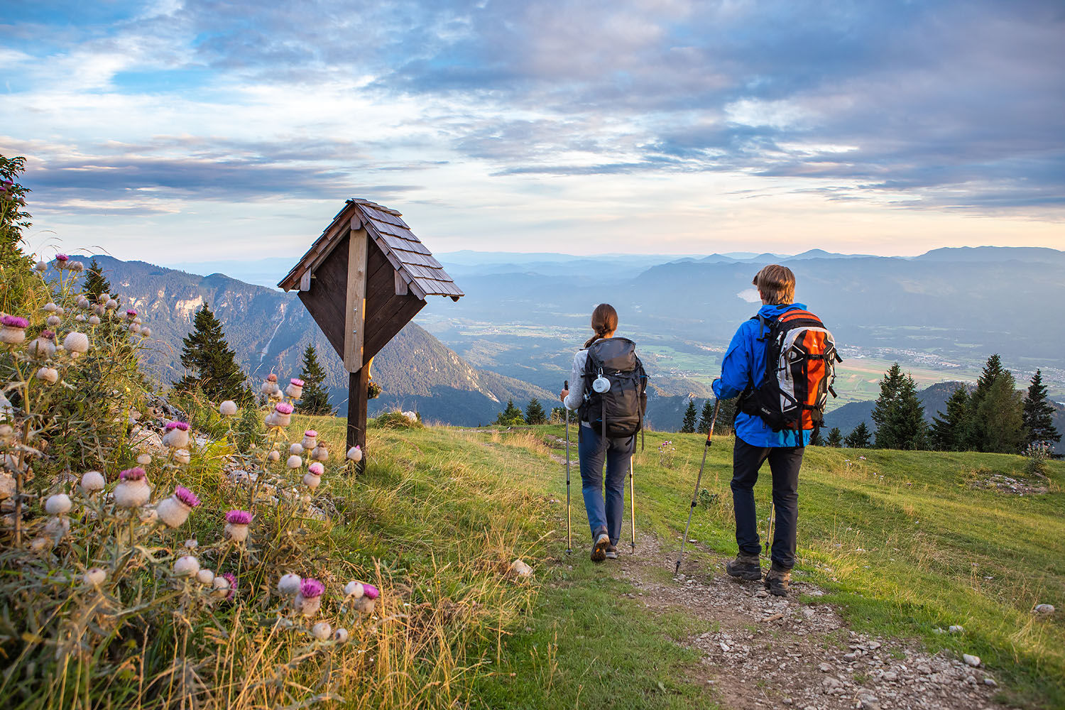
This circular trail begins in the Draga valley from where it leads to the Preval mountain pasture and onwards traversing panoramic slopes past the source of the Roža spring all the way to the Roblekov...
The route can be prolonged with a hike up to the summit of Mt. BegunšÄica. It can be reached via the steep path from the Preval mountain pasture or via the somewhat easier route from the Roblekov dom mountain hut. Refreshments are available at all the mountain pasture huts.

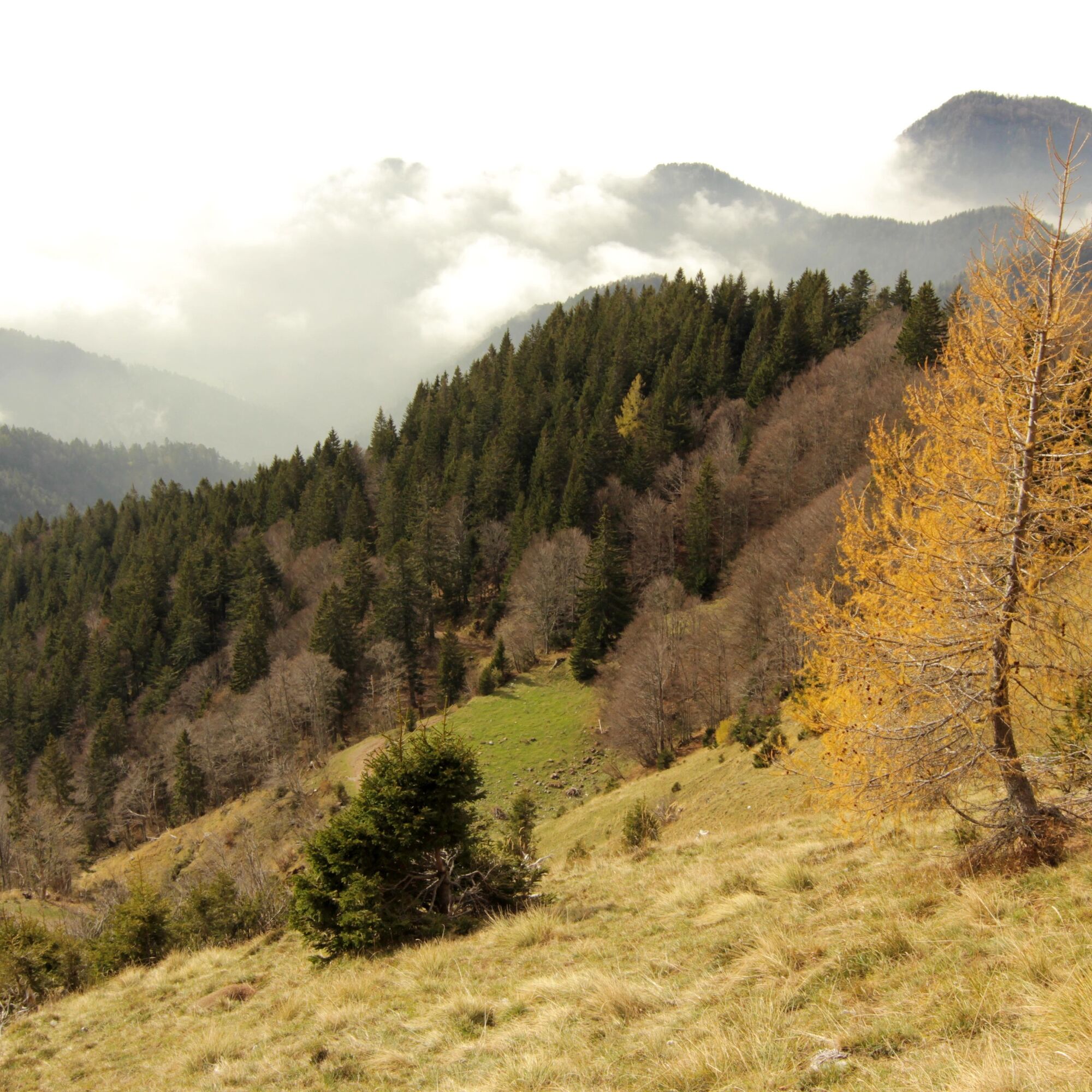
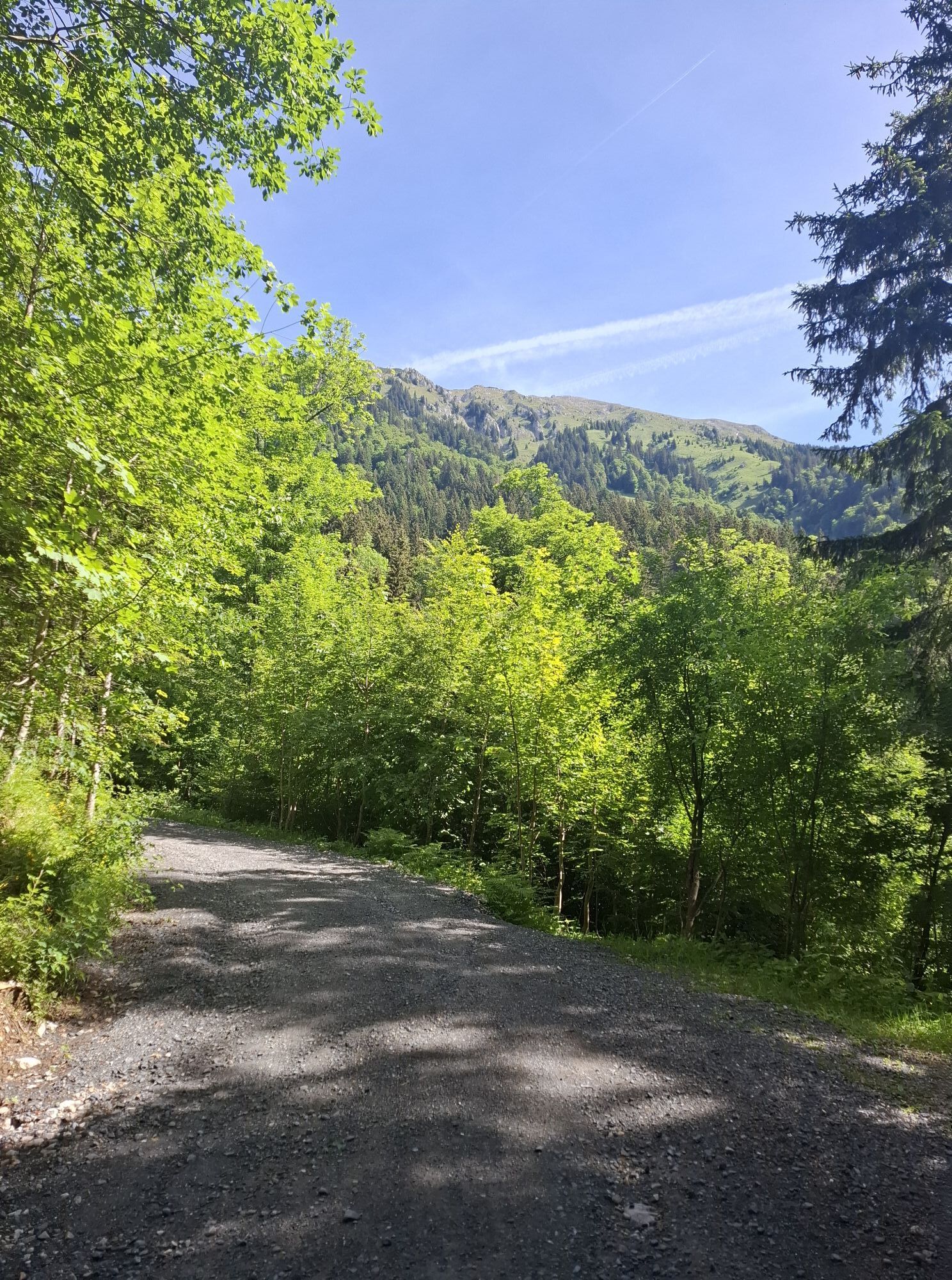
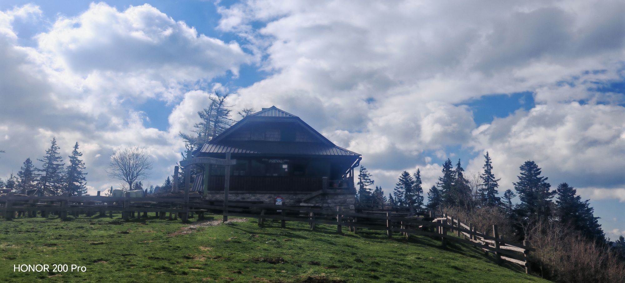
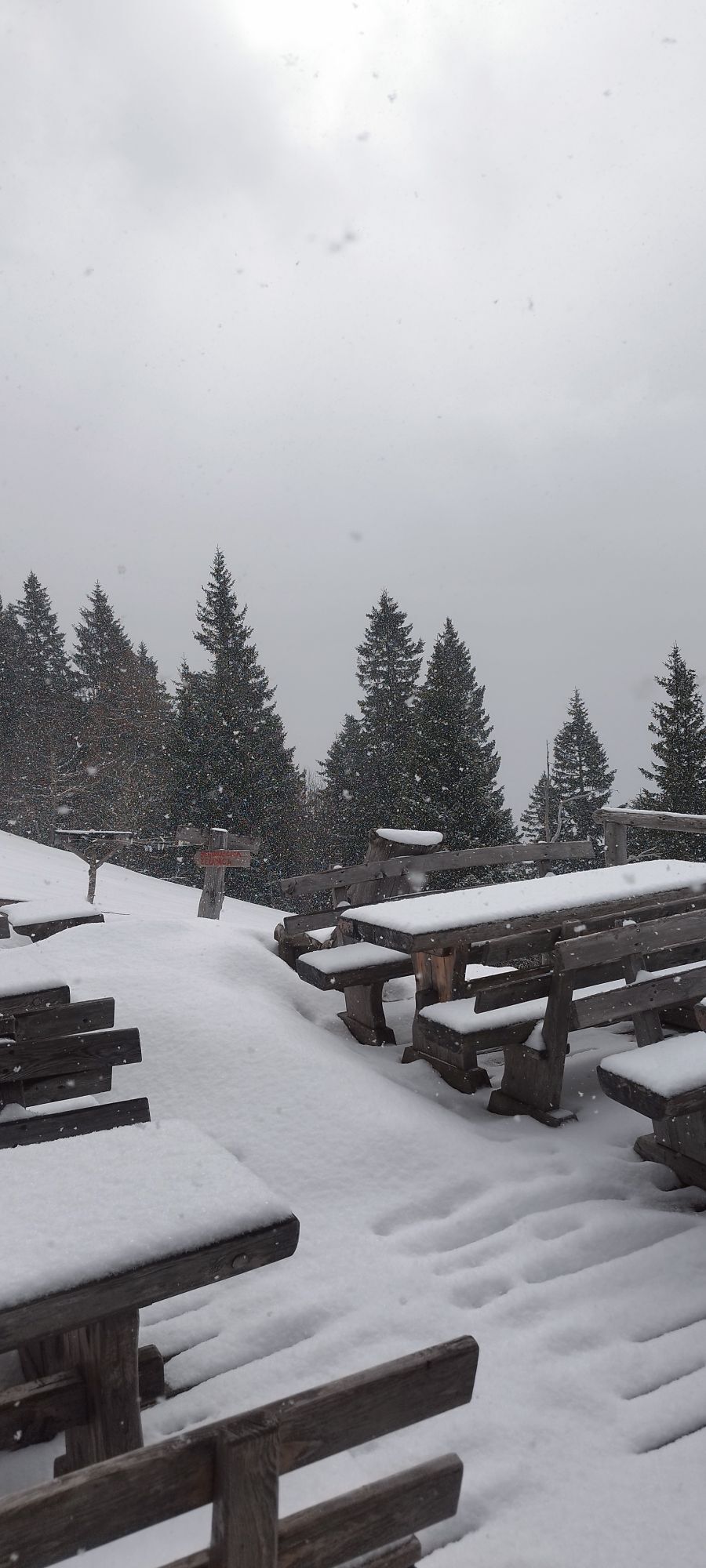
The (occasionally very steep) trail zig-zags up the forest until reaching the wide open meadows of Prevala pastures. Herdsmen's hut at Prevala pastures is well worth a stop, not only for the fabulous views of BegunjšÄica, Mt. Triglav and Košuta range, but also for a taste of delicious »štuklji« (cottage cheese rolled dumplings).
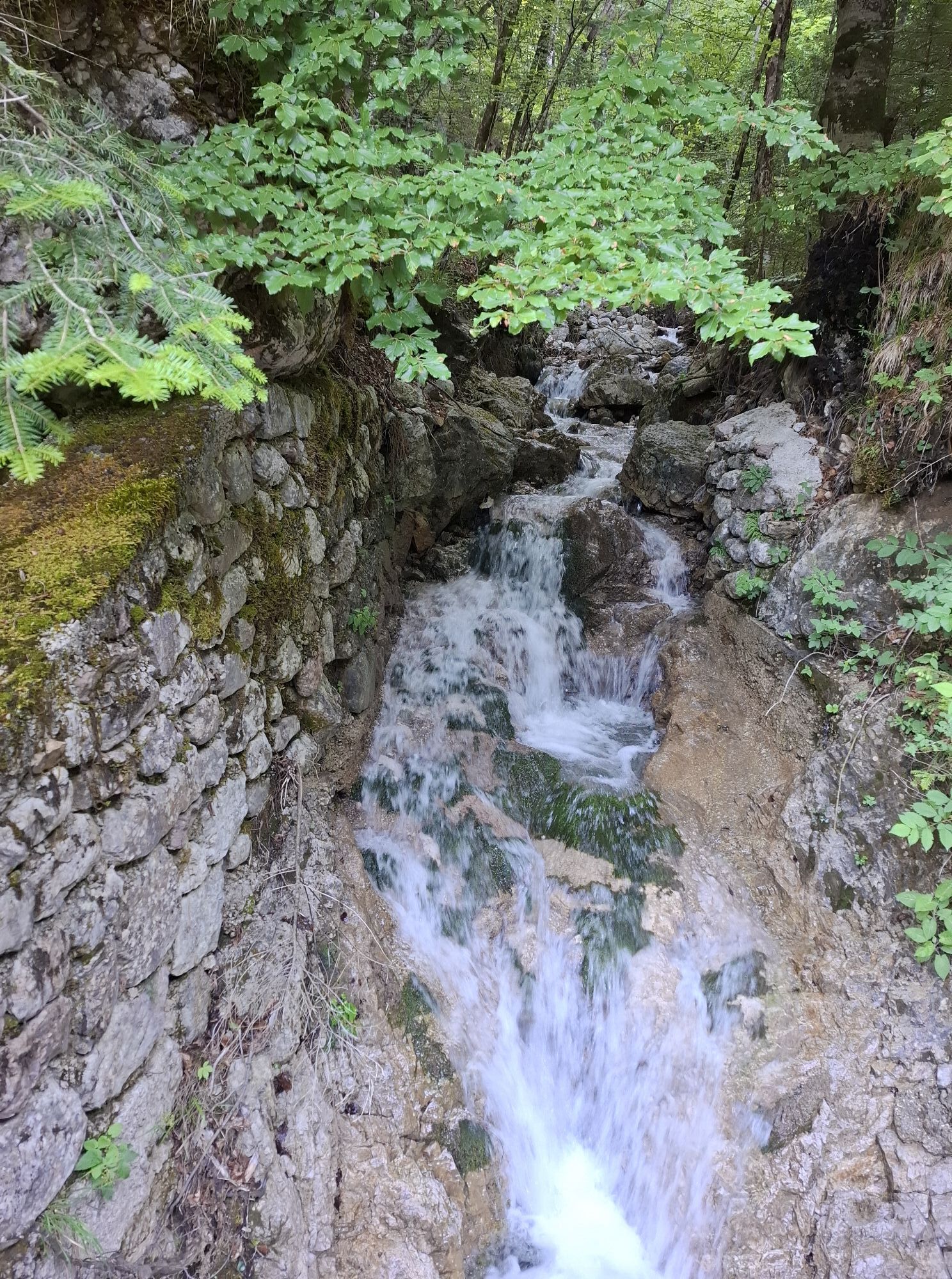
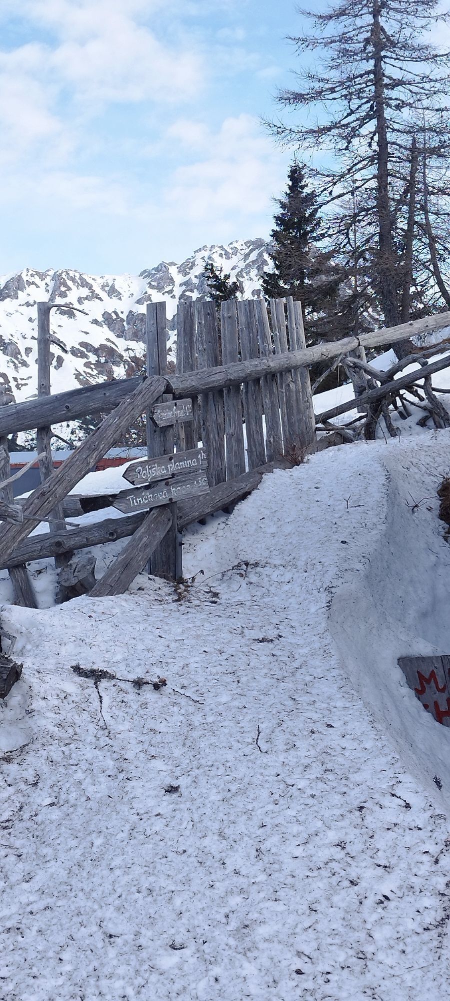
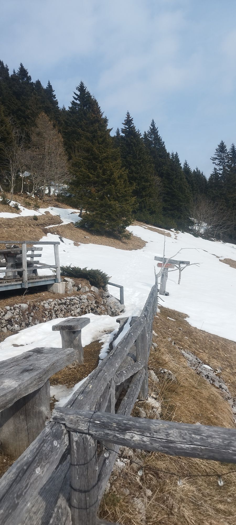
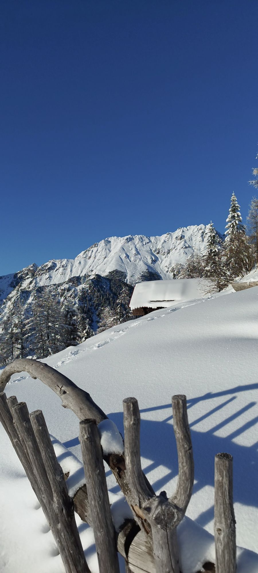
From the hut, descend down to the wooden crucifix at the junction of the roads. Choose the one ascending gradually to the left hand side (signed : Roblekov dom, Äez Rožo). Gravel track leads you between forests and alpine meadows and occasional scree slopes. Where the gravel road reaches the highest point (and starts descending to the valley), continue walking straight ahead on a narrow trail entering the mountain forest. The single trail ascend steeply, as the forest becomes less and less dense. Soon you will come across a small spring named Roža (the flower). Locals from Begunje believe that the water from Roža spring has healing powers, therefore make sure you have a sip before you continue the walk.
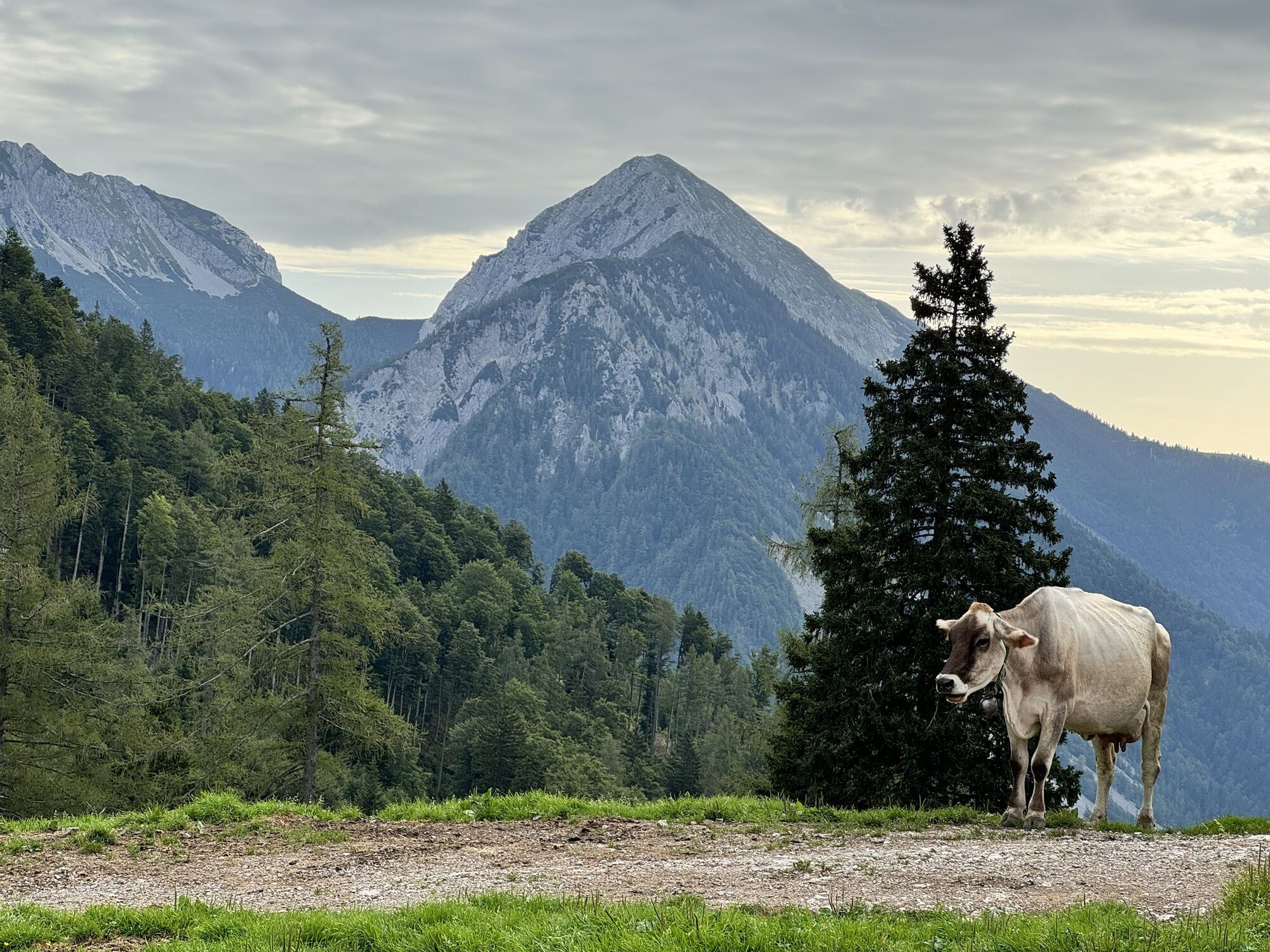
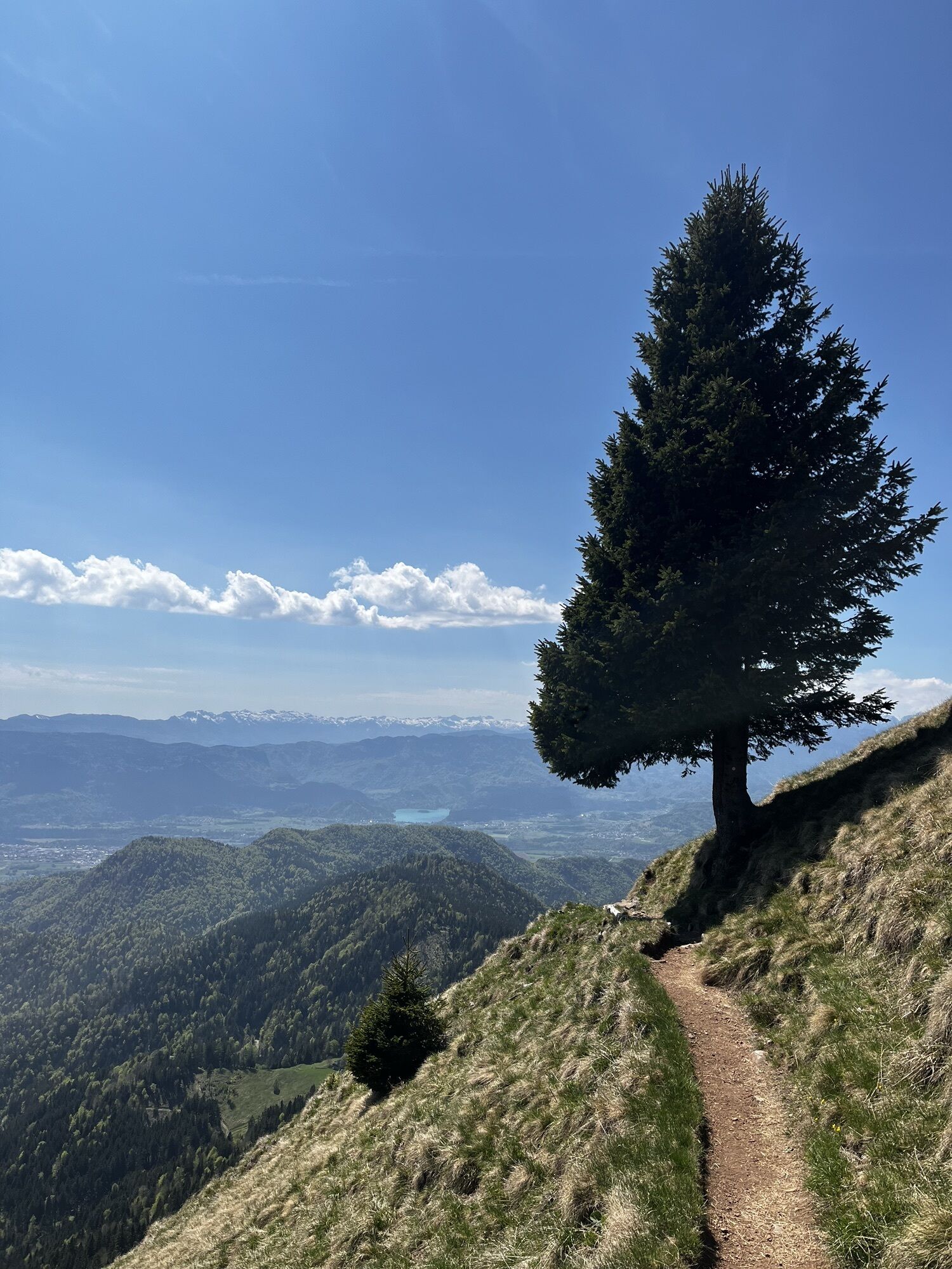
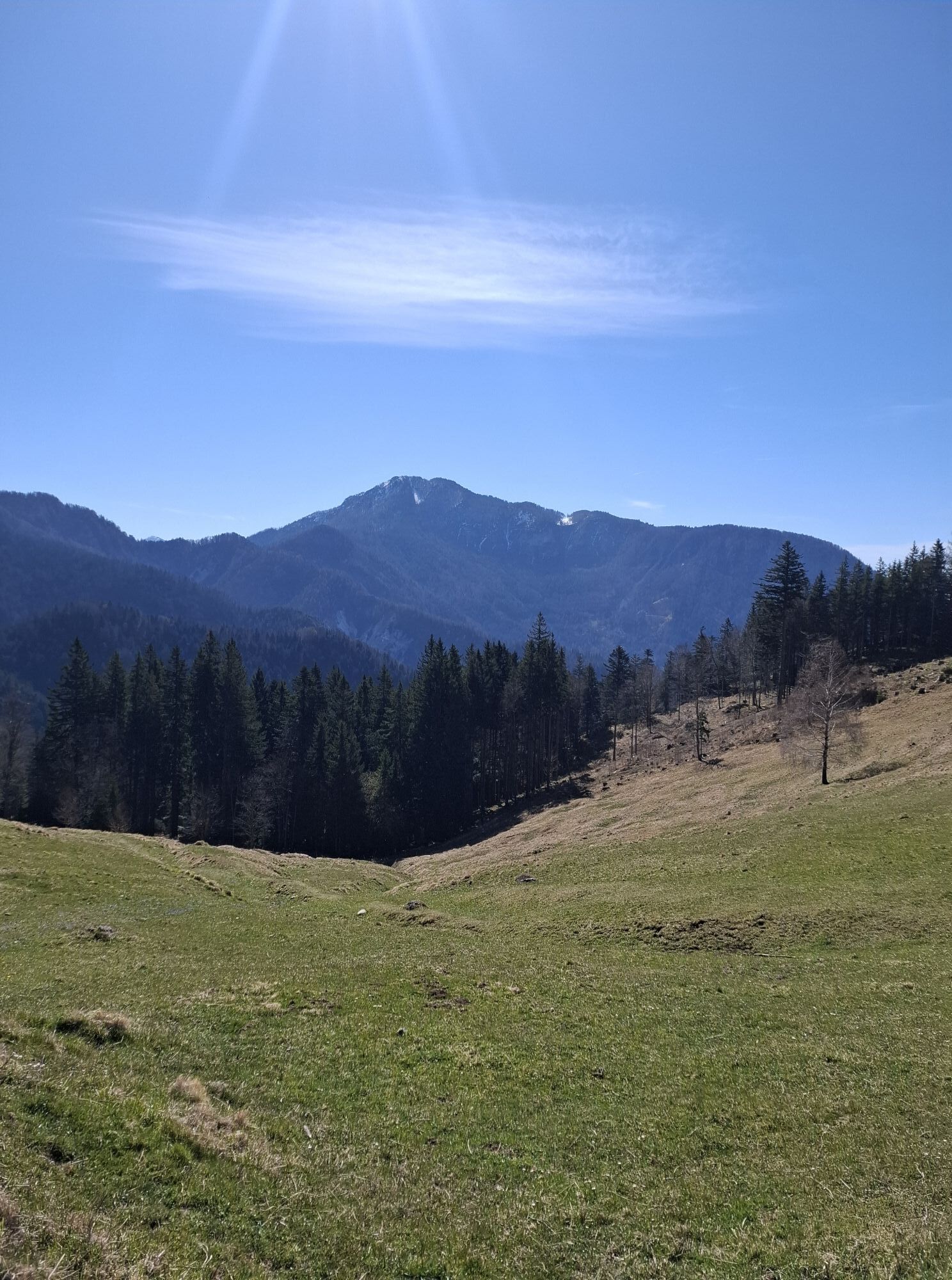
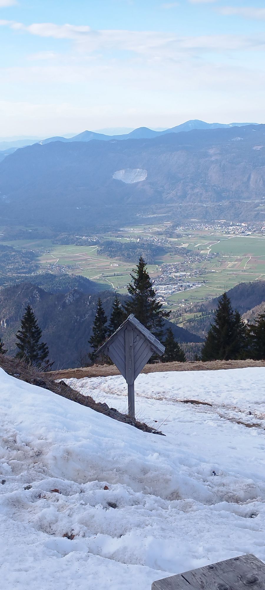
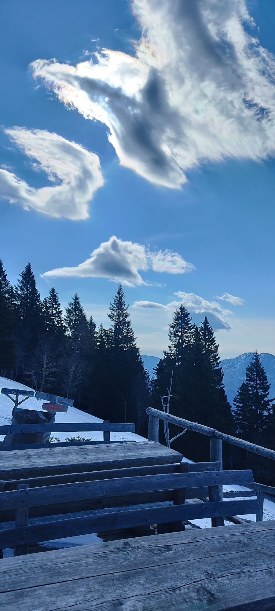
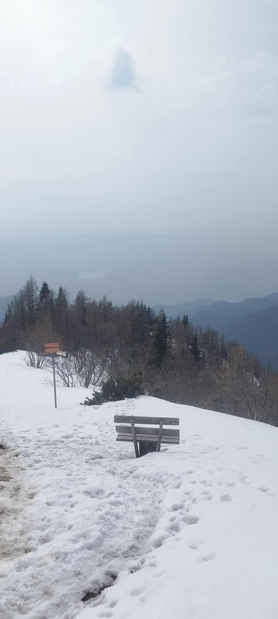
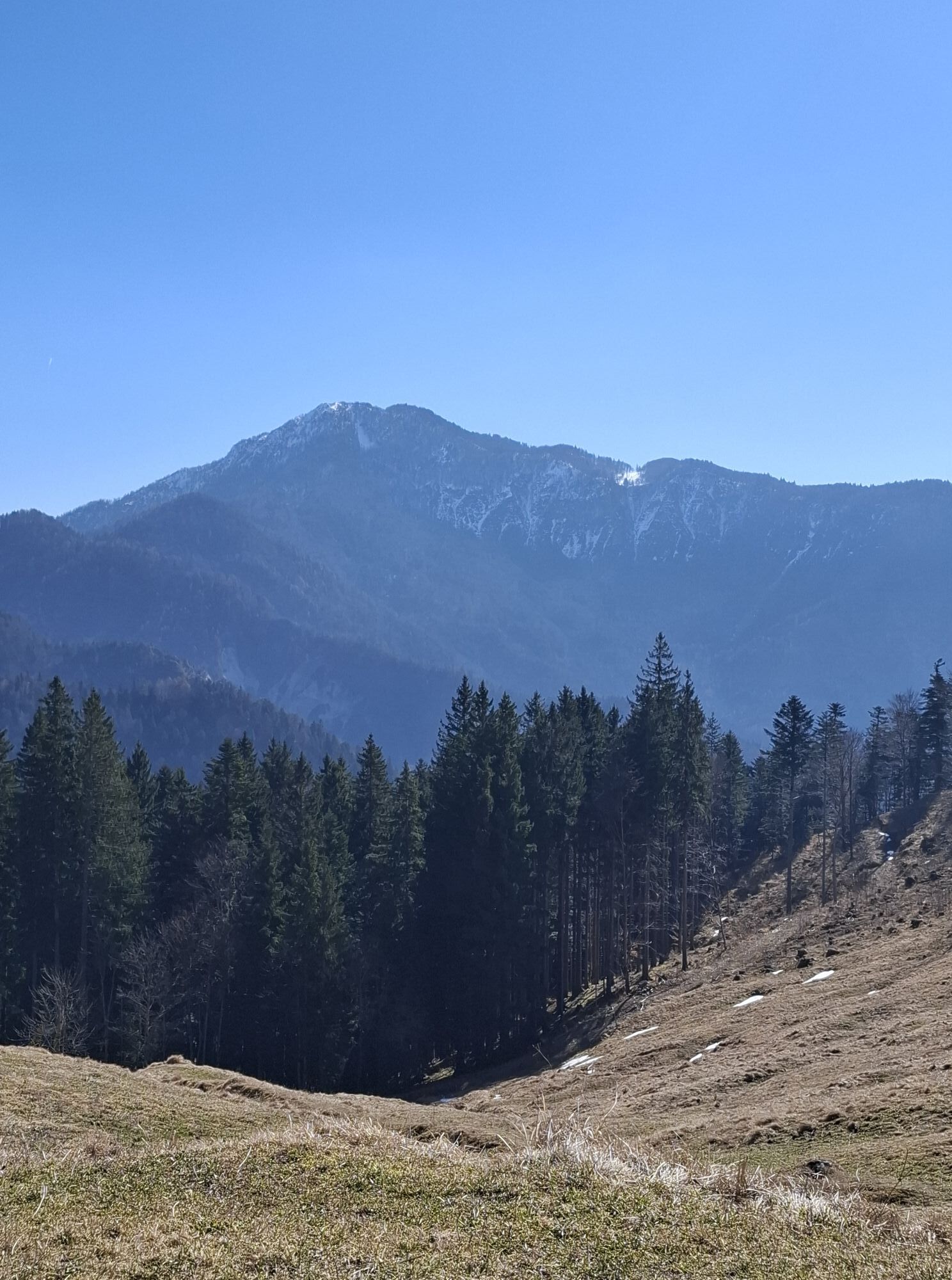
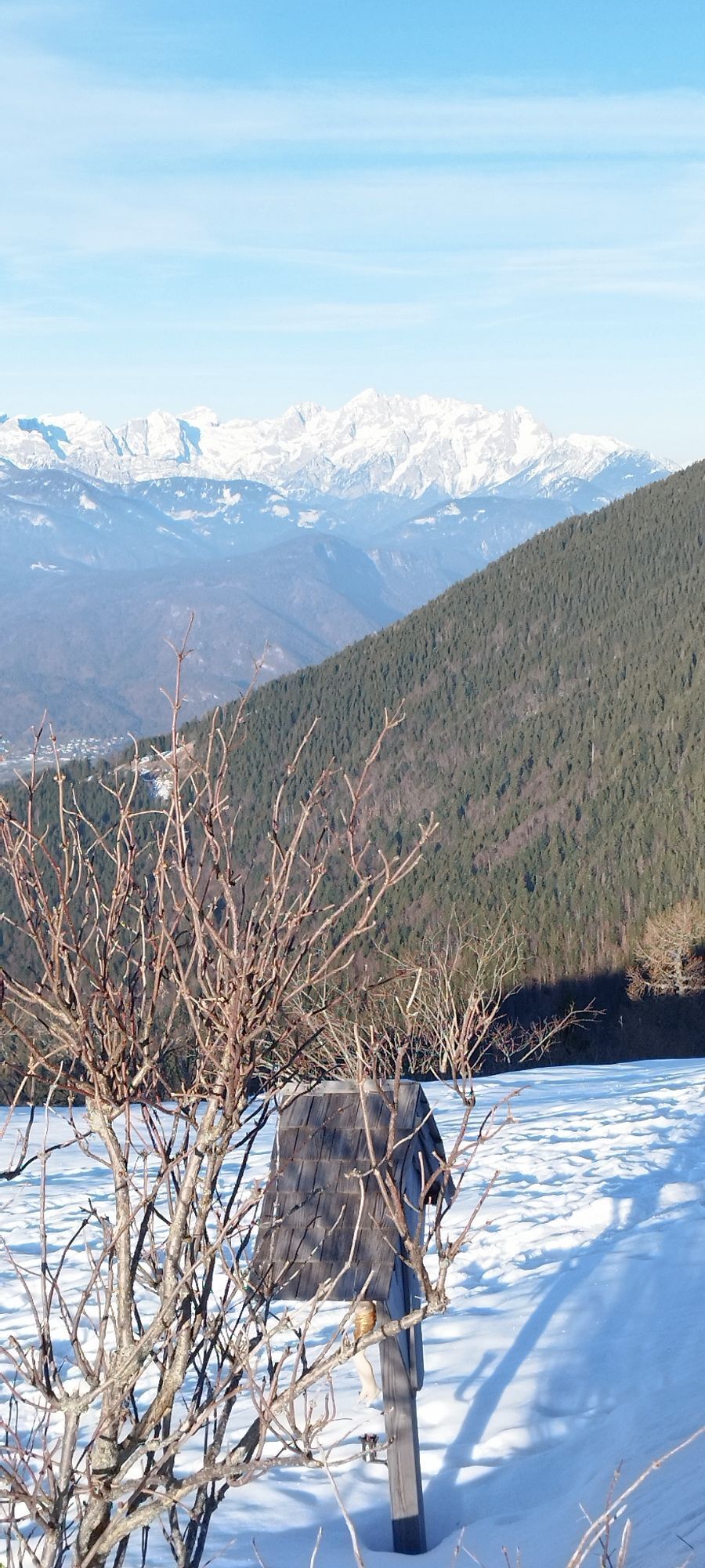
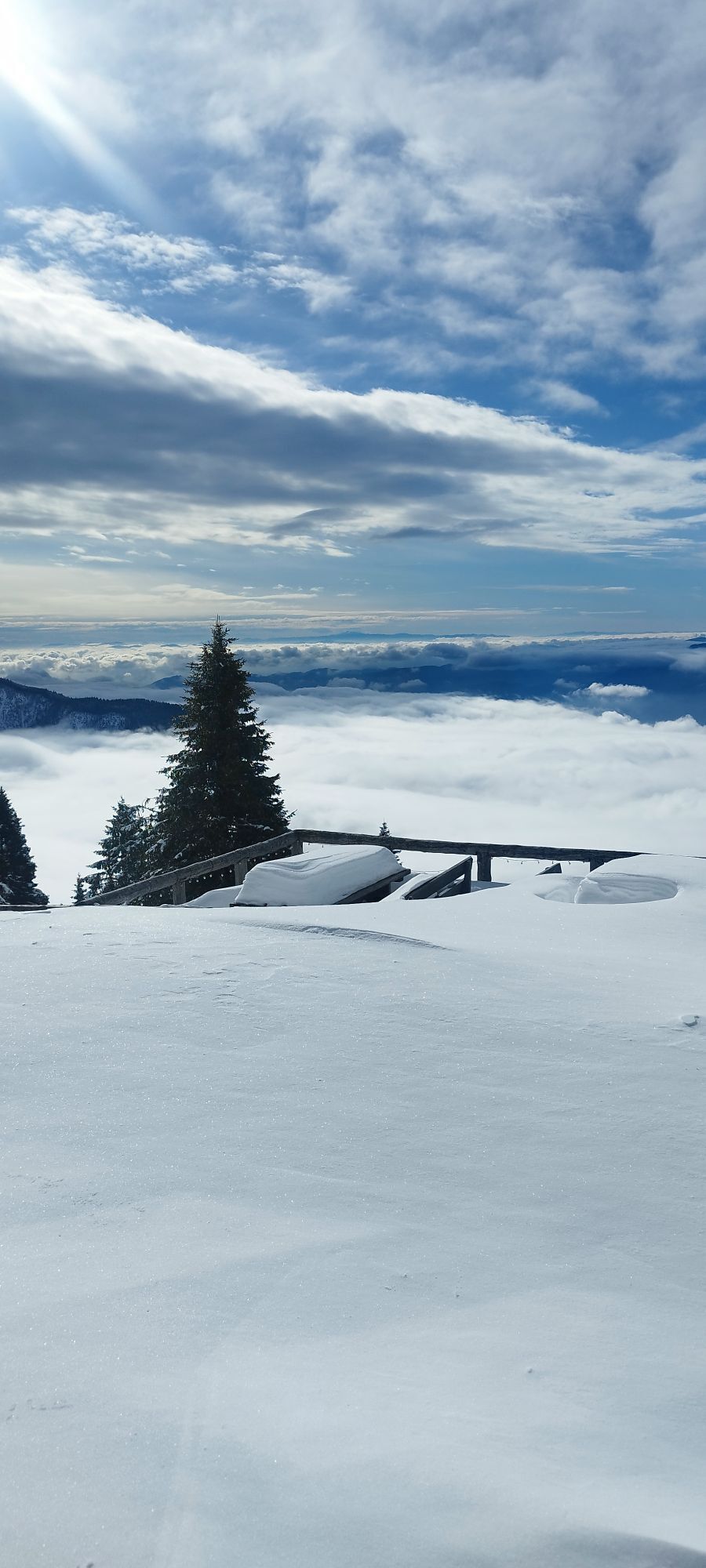
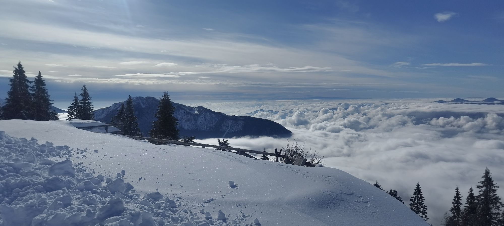
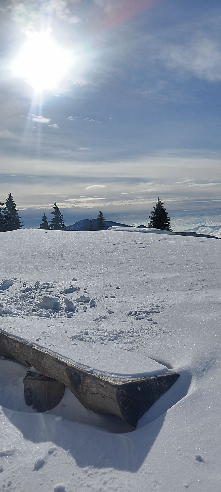
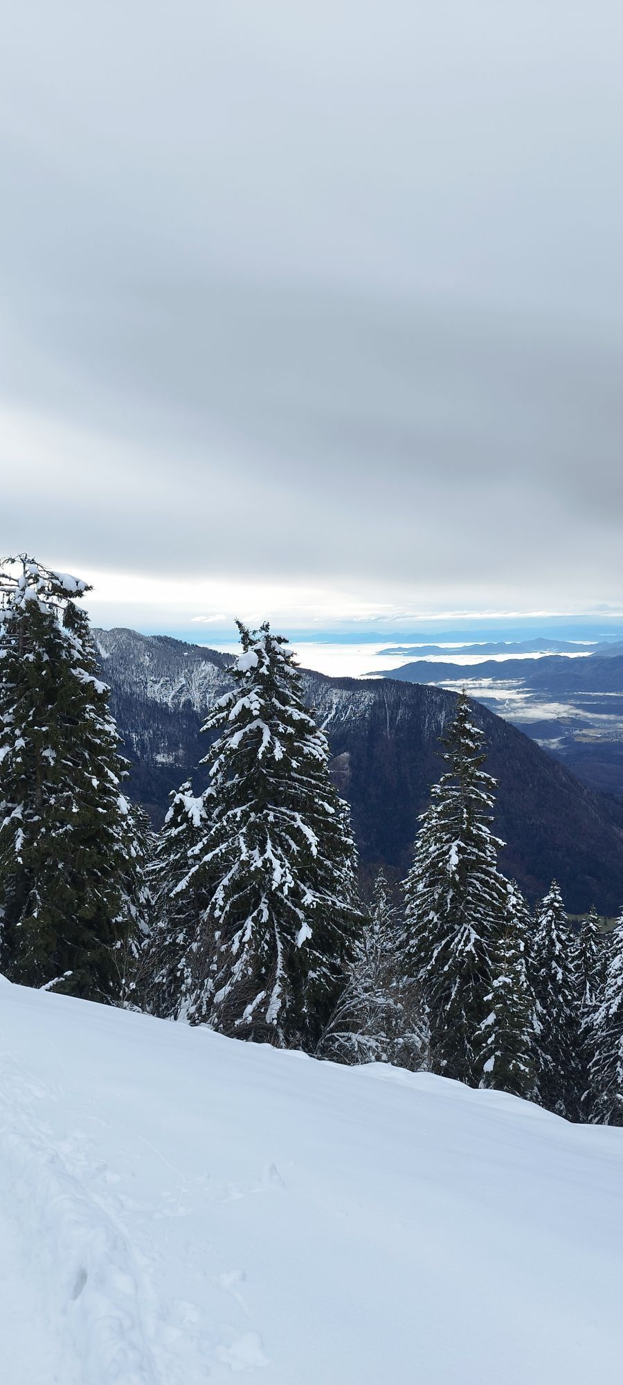
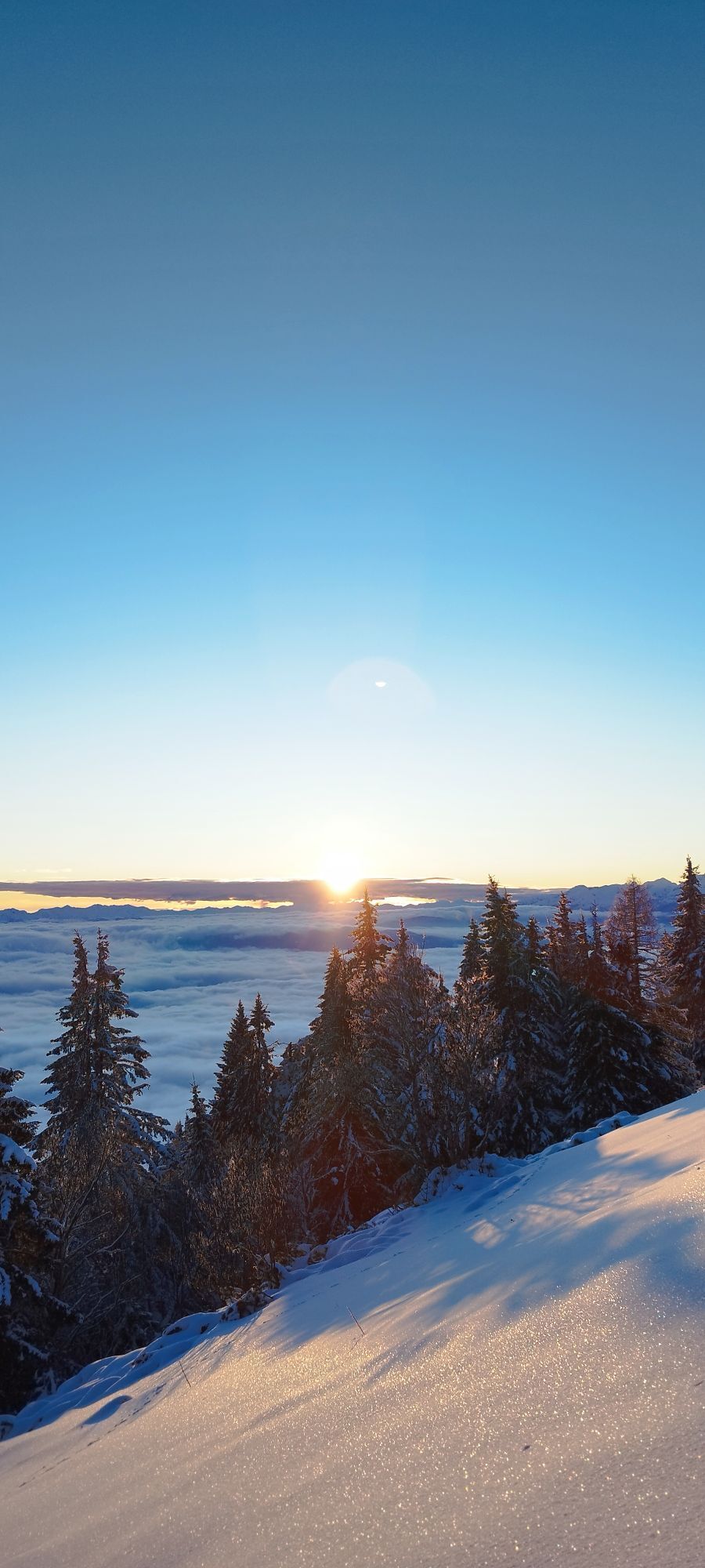
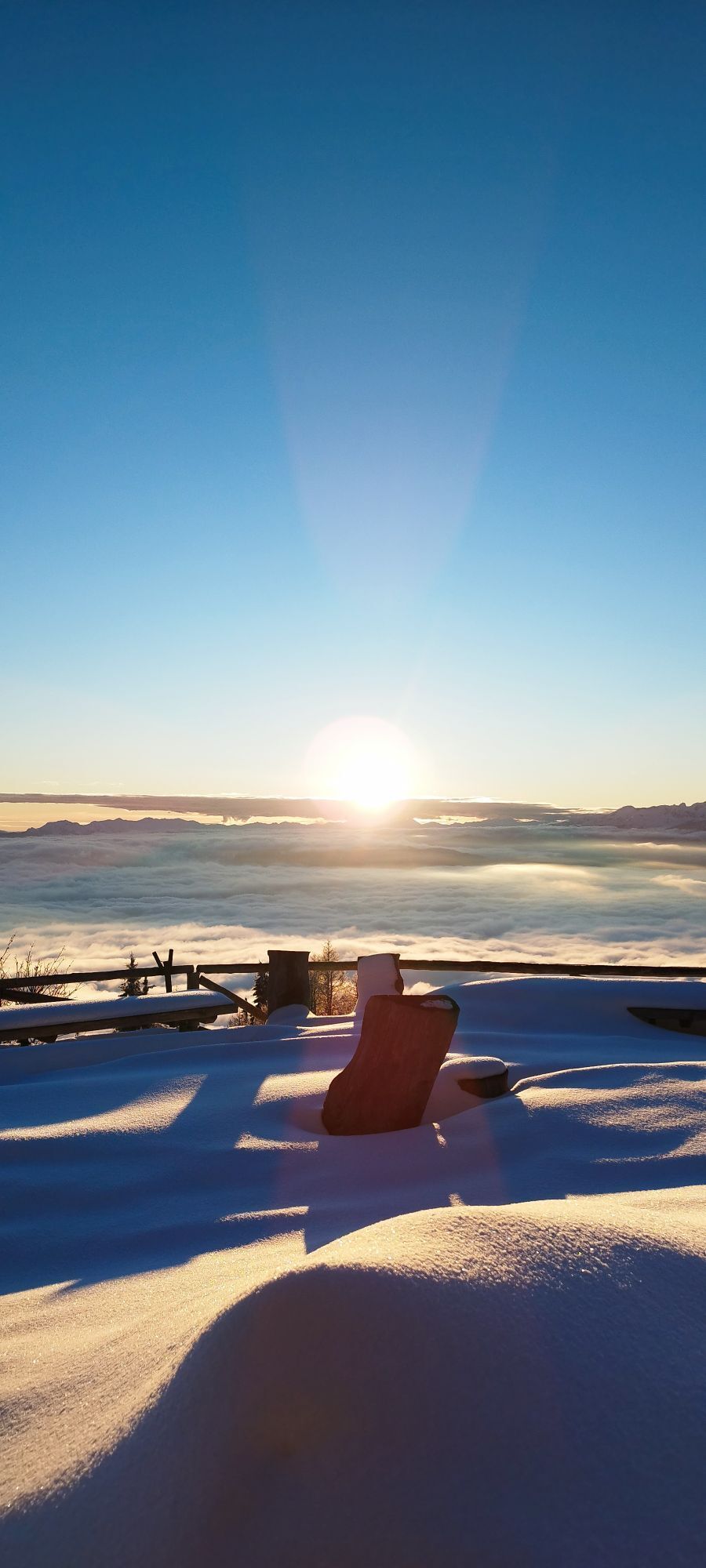
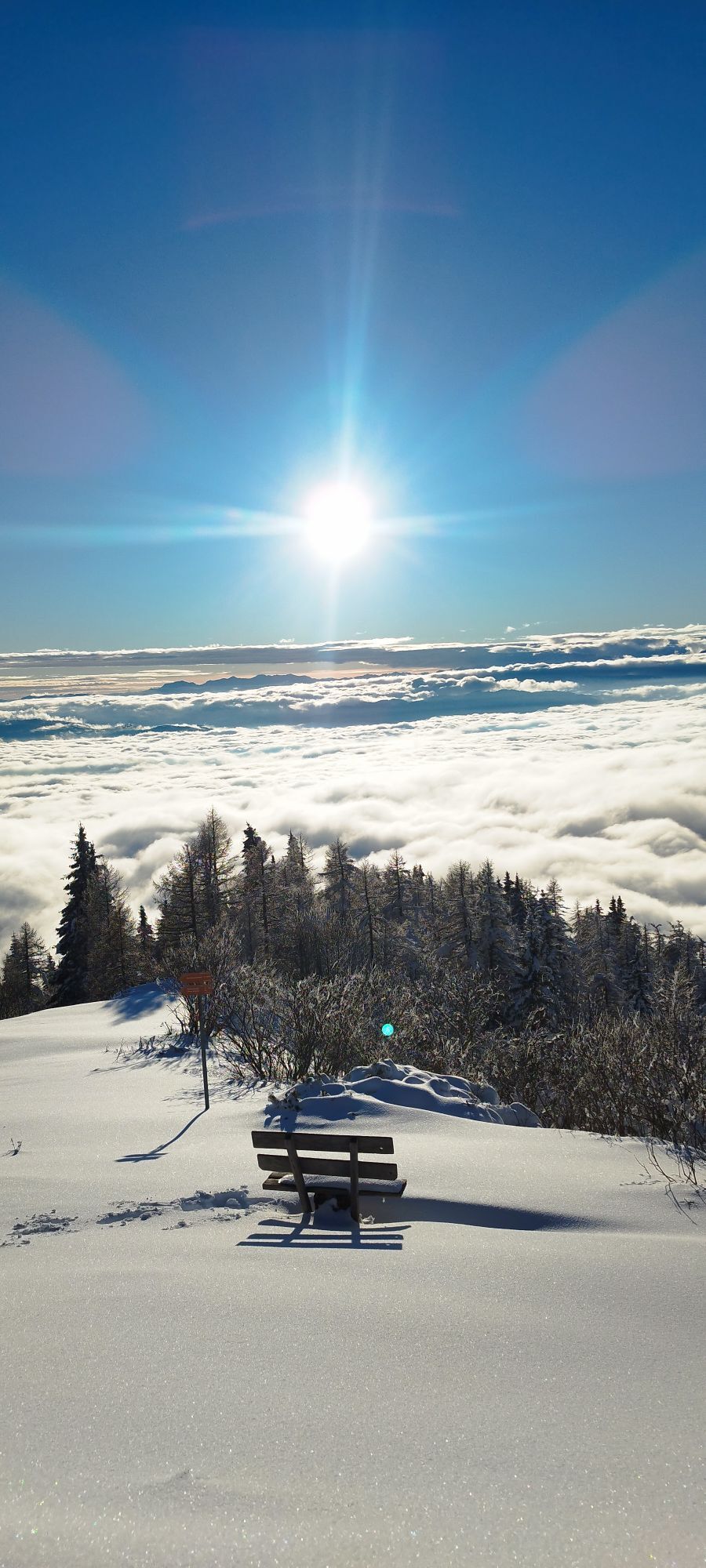
The trail now traverses the wide open pastures of Mt. BegunjšÄica from east to west, as the views strech further and further across Gorenjska region. The terrain is very steep, the path occasionally very narrow - therefore be attentive crossing the wide open gullies. You might be surprised to see a stone vaulted entrance to an underground hall, this is a remnant of one of three former manganese mine existing on the mountain in the 19th and early 20th century (information panel). Follow the path further towards a small forest, where you will soon encounter a much more beaten trail ascending from the valley. Turn right and follow the trail leading uphill. After only few minutes you will be on open ground again, gazing at Lake Bled, the Julian Alps and nearby Mt. Stol of the Karavanke mountains.
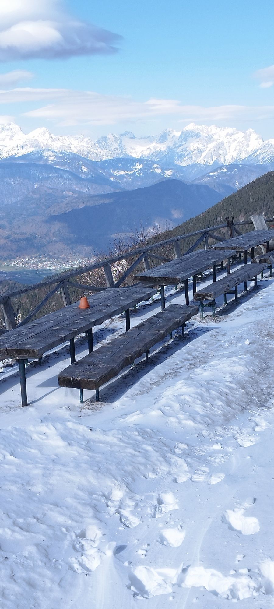
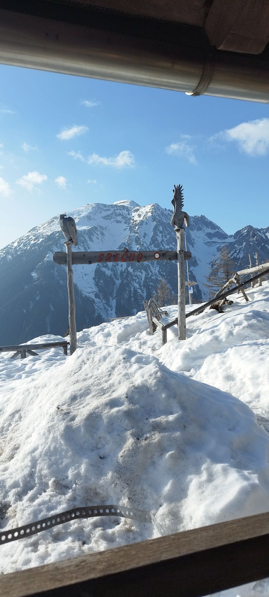
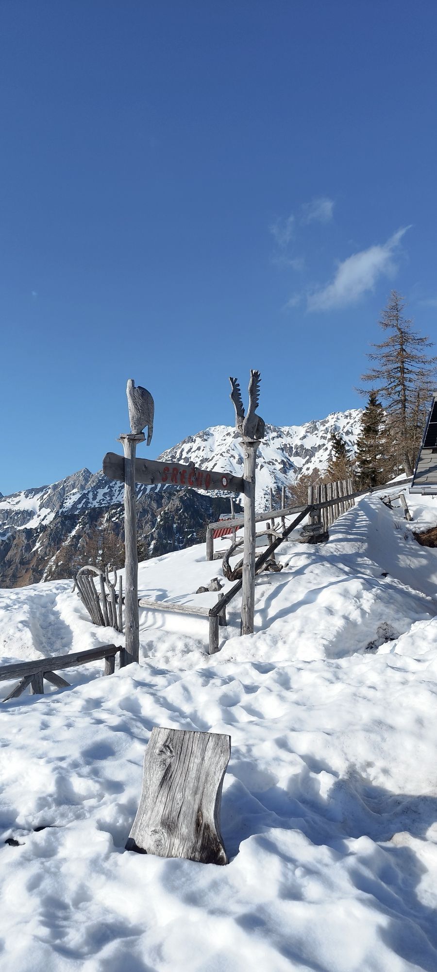
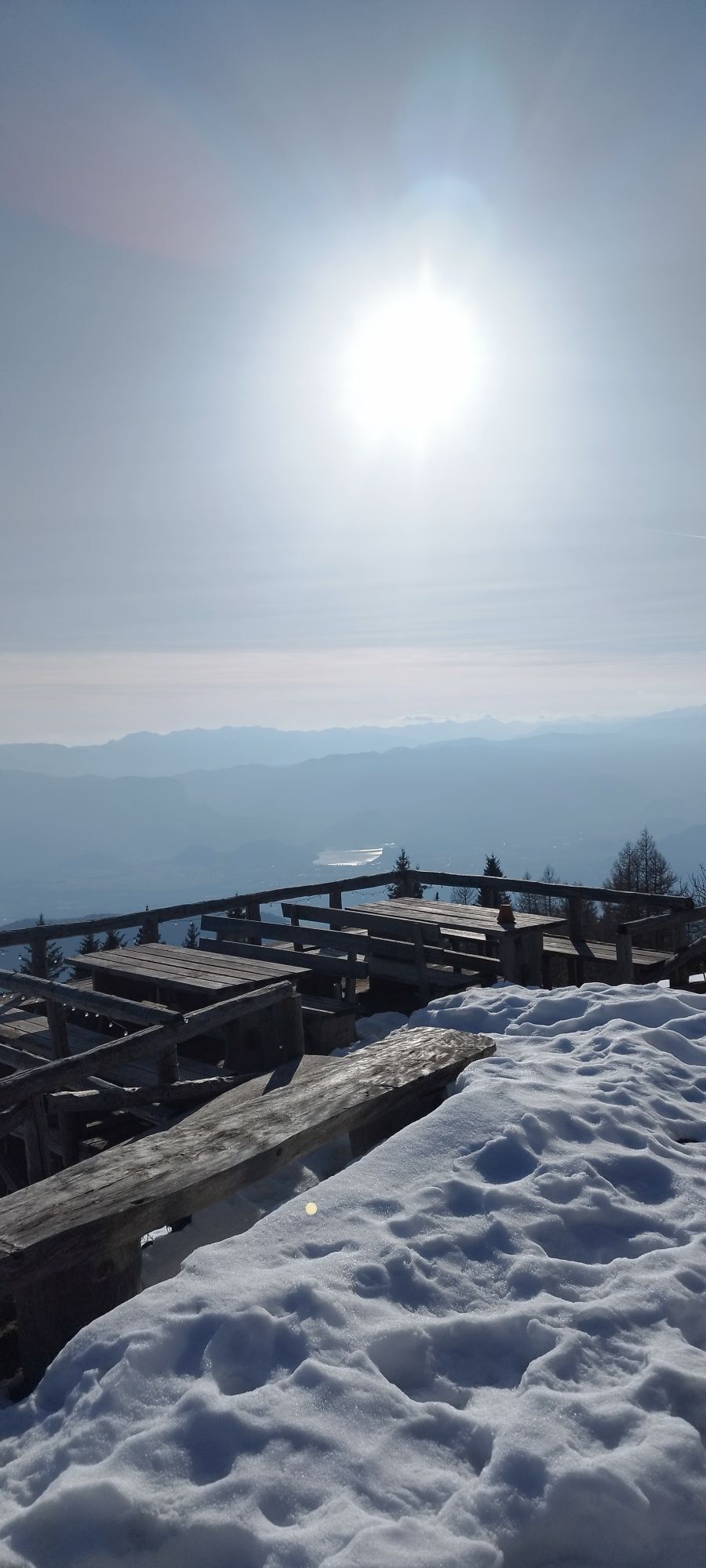
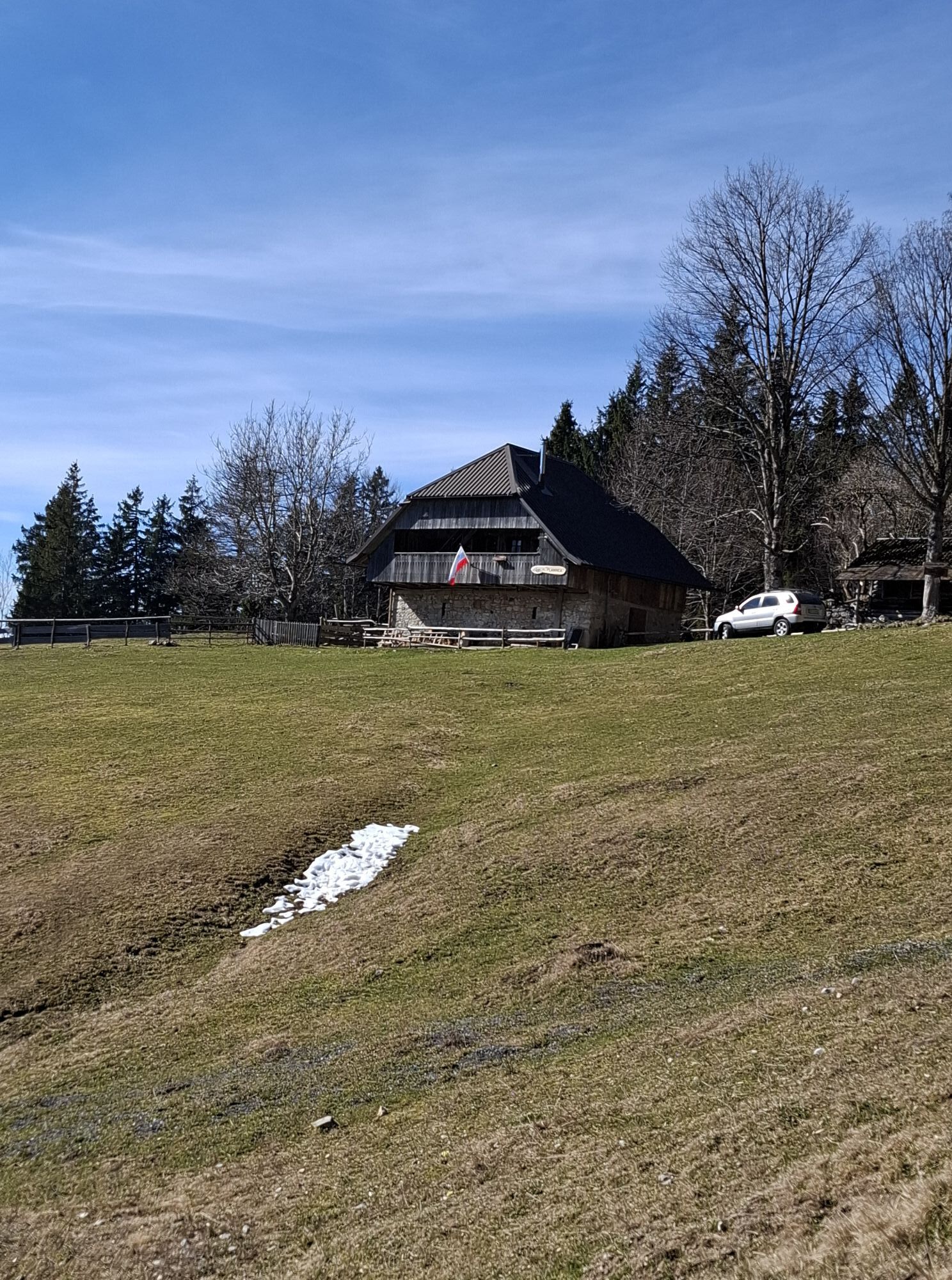
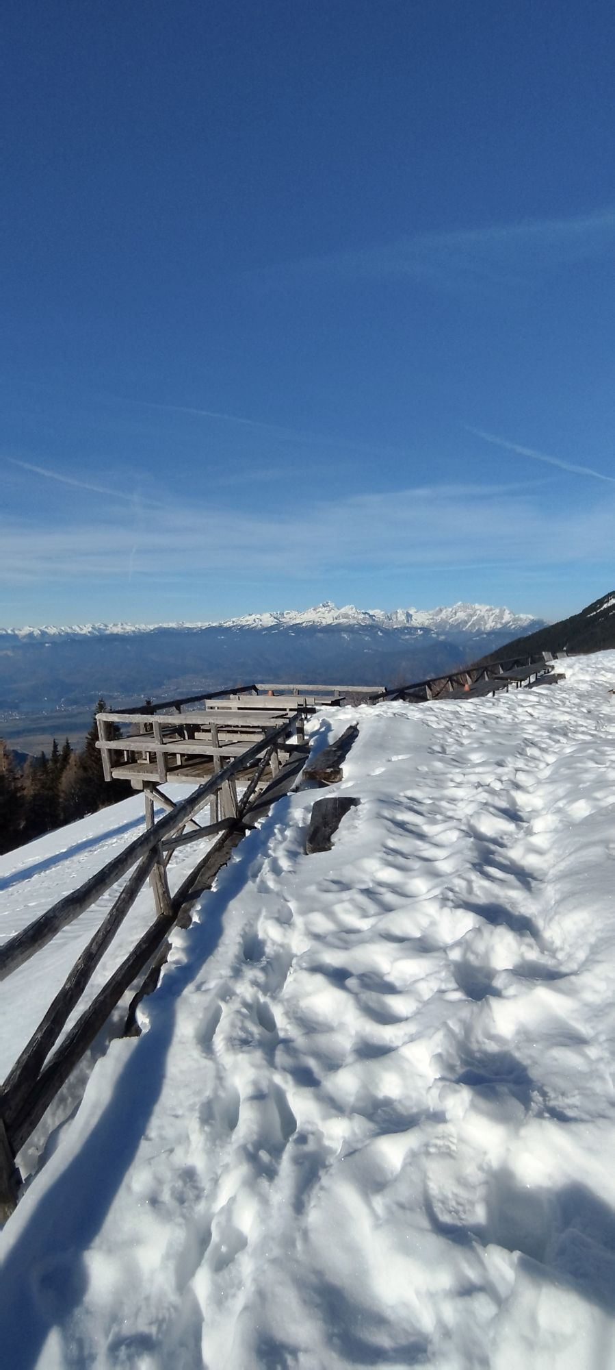
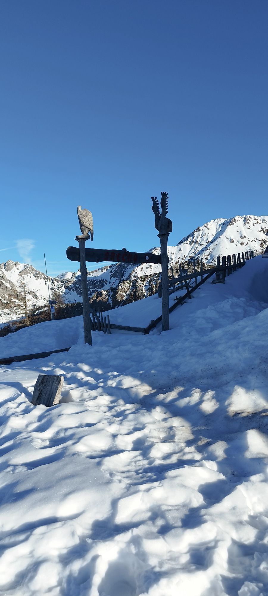
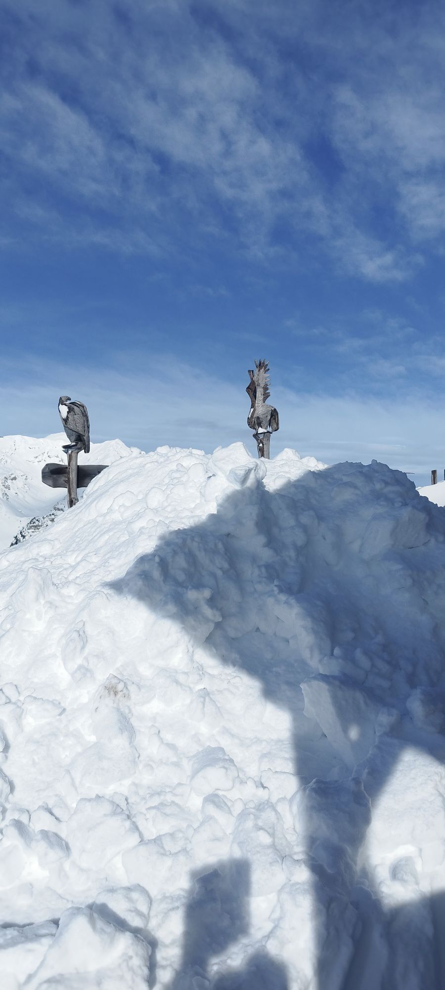
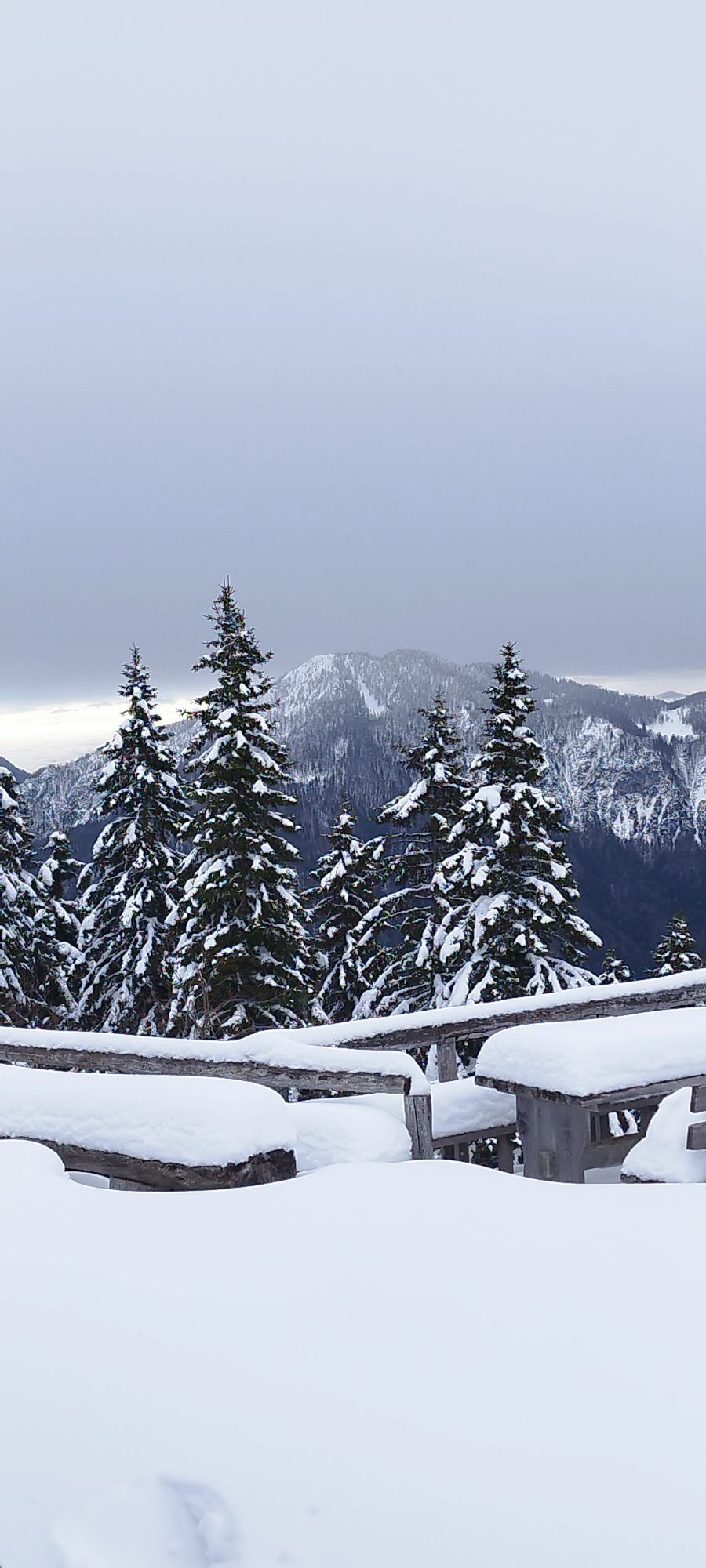
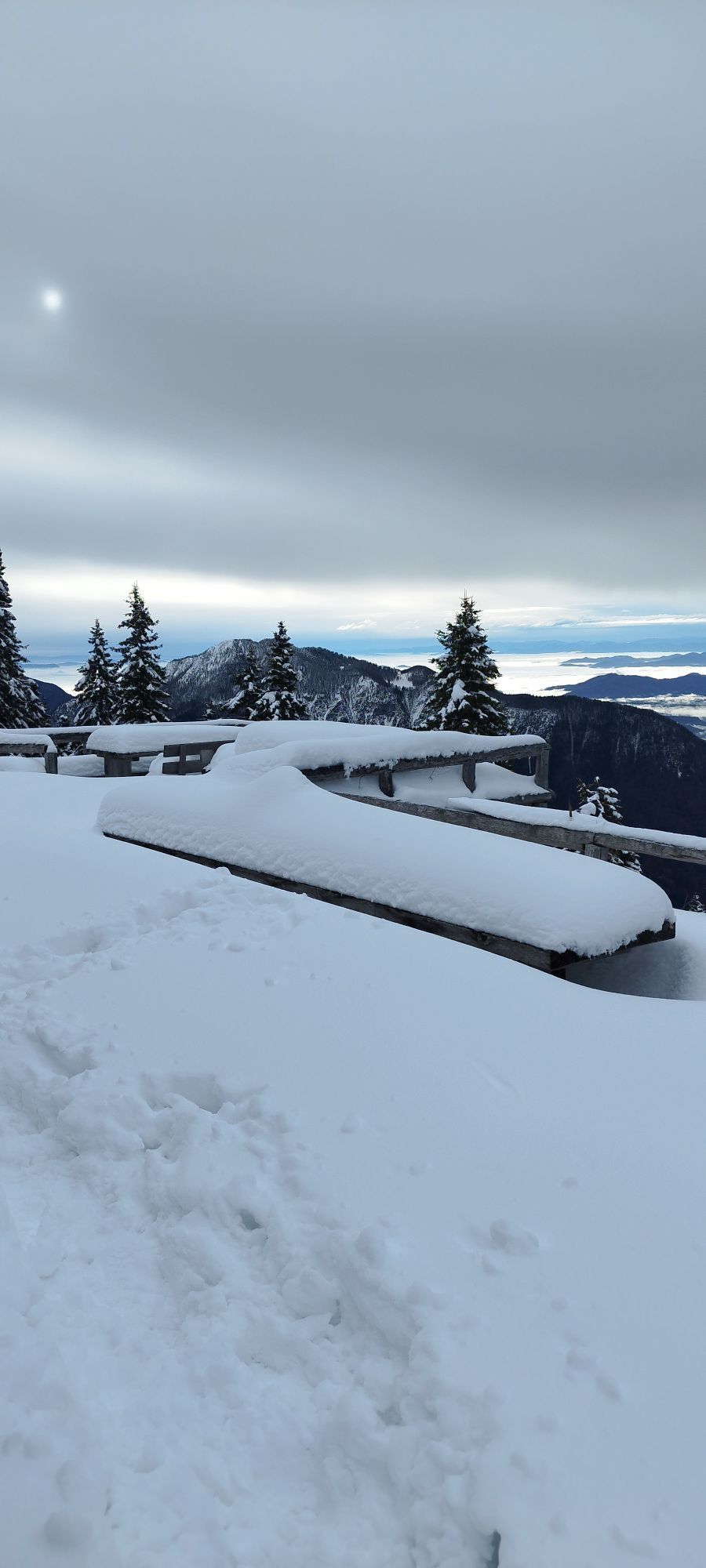
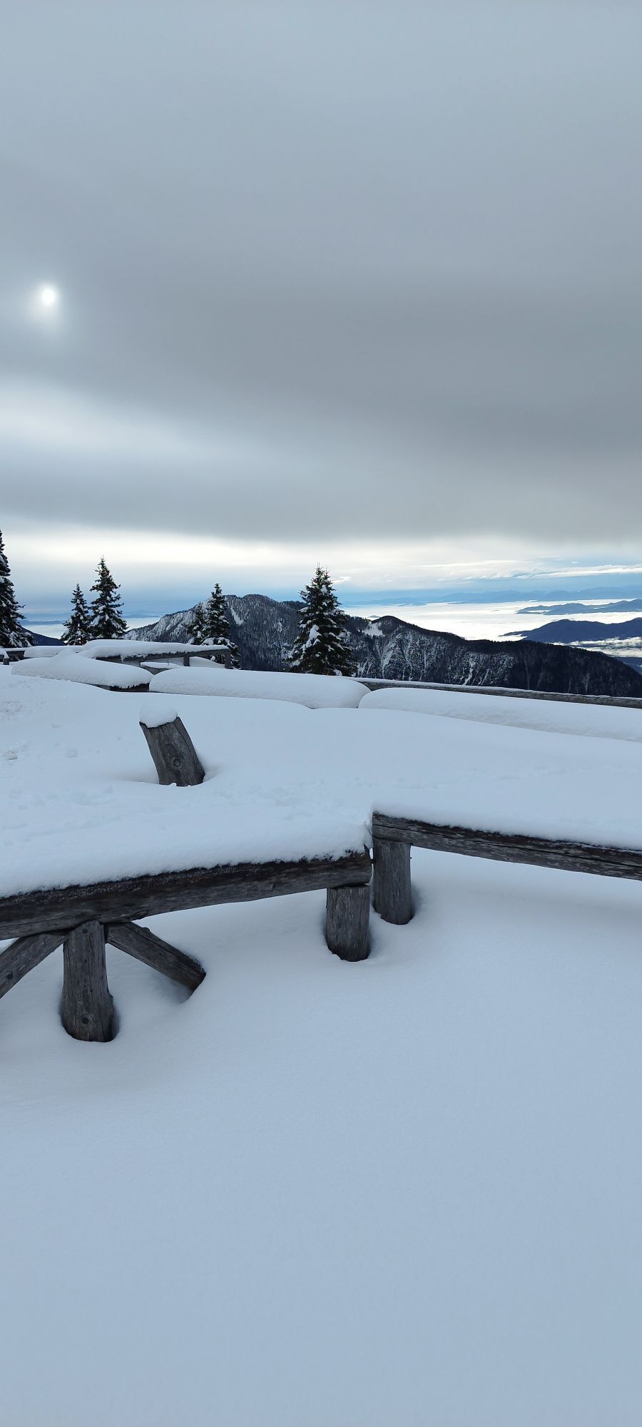
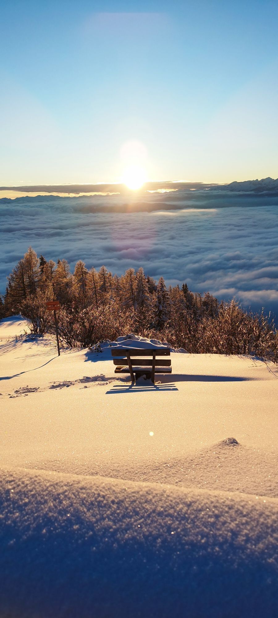
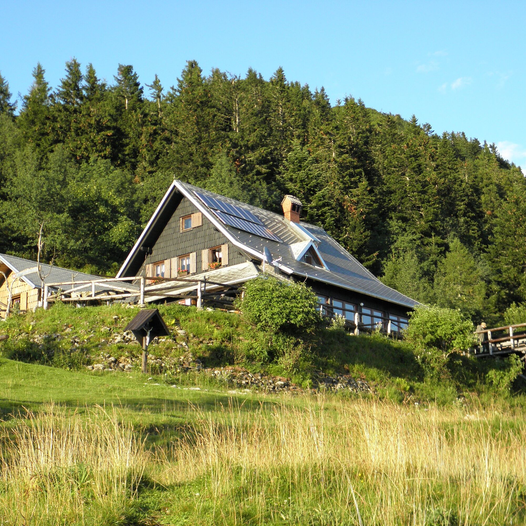
Right amidst the meadow stands the famous Roblek mountain lodge, scene of the immenly popular slovenian folk song VeÄer na Robleku. Next to excellent food and generous wievs, Roblek hut also witnessed the turbulent history of 20th centrury (presented on the information panel and photograps inside the house).
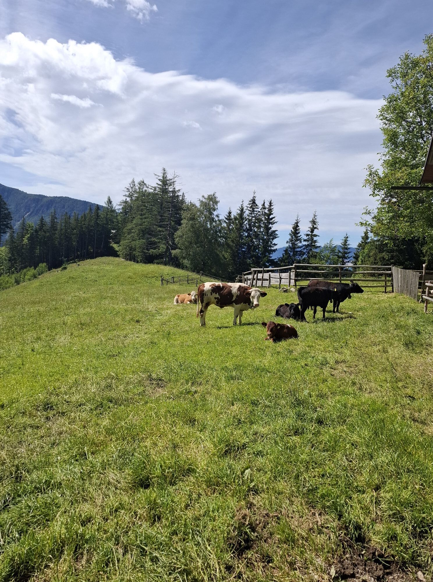
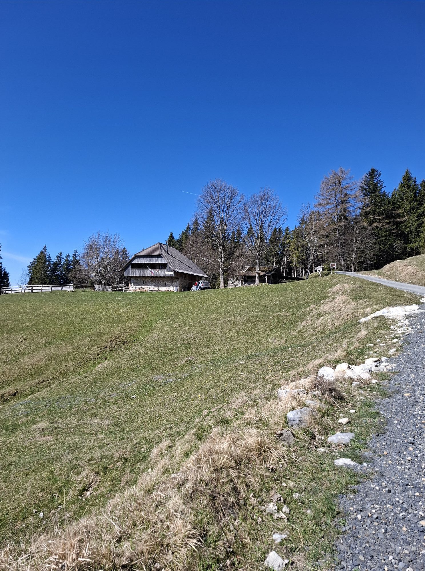
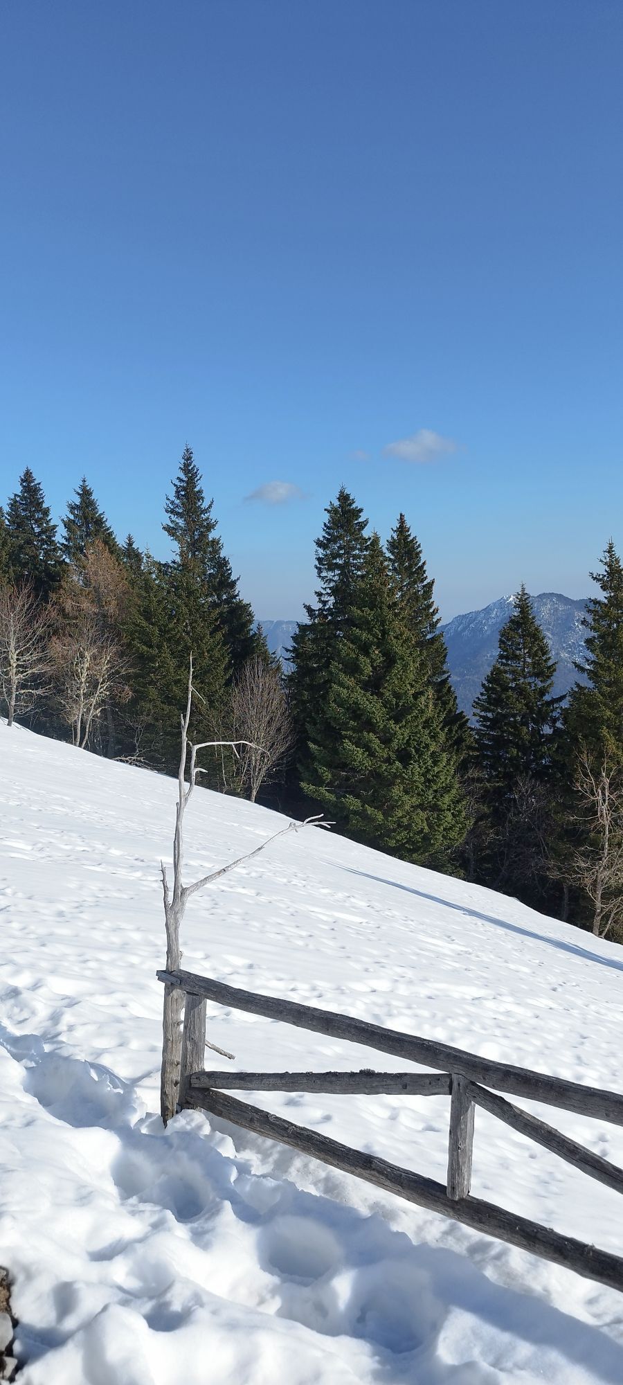
After a rest by the Roblek hut you can decide to ascent the peak of Mt. BegunjšÄica (1 hour), or follow the Shepherds trail down to the valley. Retrace your steps down to the junction in the forest, than continue descending straight ahead (signs: Draga, Poljška planina). The steep wide road descend through mountain forest in noumerous switch backs and shortcuts. Try to stay on the principal path (protection of natural environment), however: if you do end up on a shortcut, you can be quite certain it will eventually bring you back on the main trail. After about 45 minutes of descend you will reach Poljška planina alpine pastures, where you can refresh with a cold drink or a bowl of warm soup.
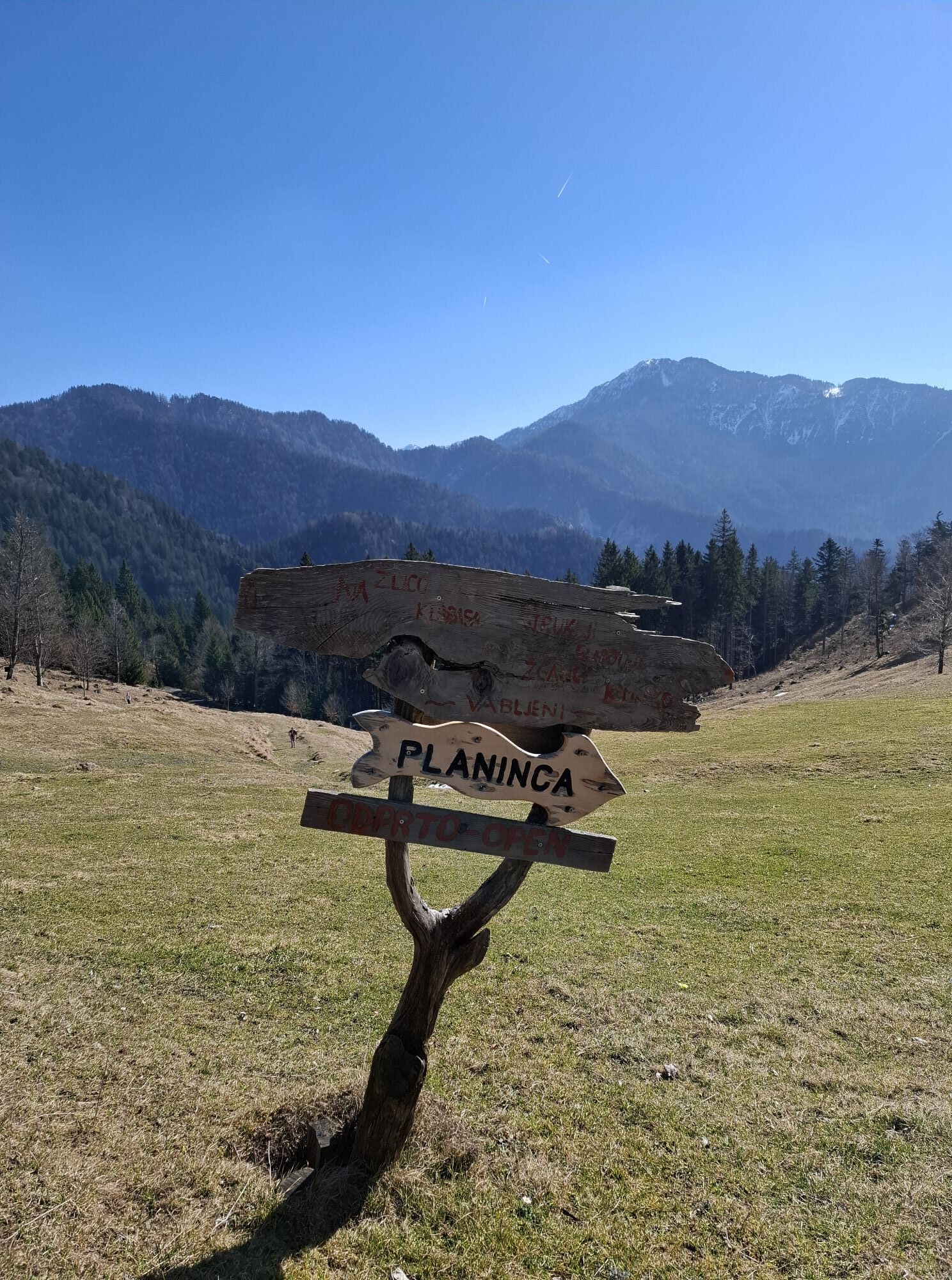
Reaching Poljška planina, turn left and continue walking on a wide gravel road. The road will soon bring you to the second alpine pasture named Planina Planinca.
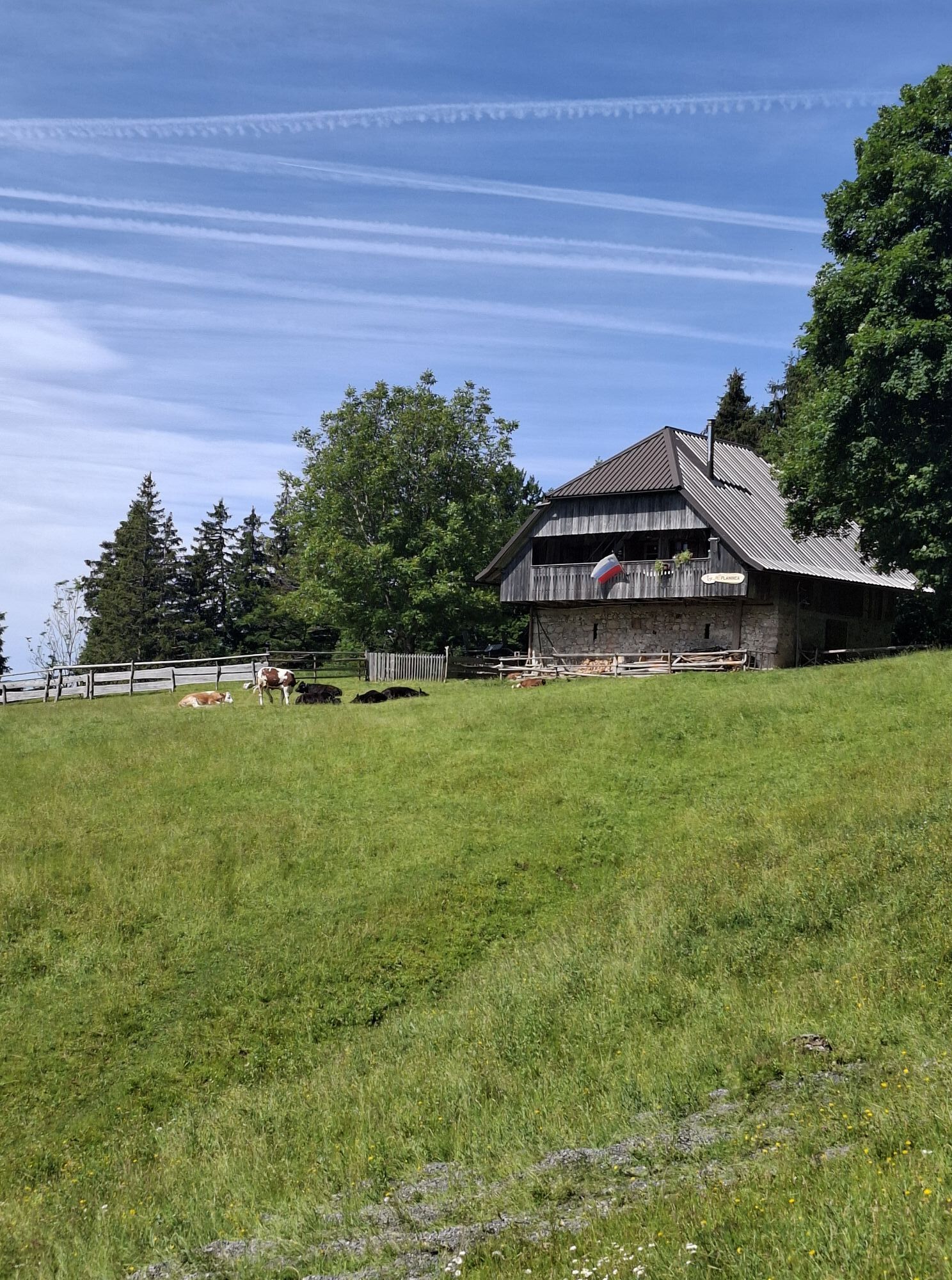
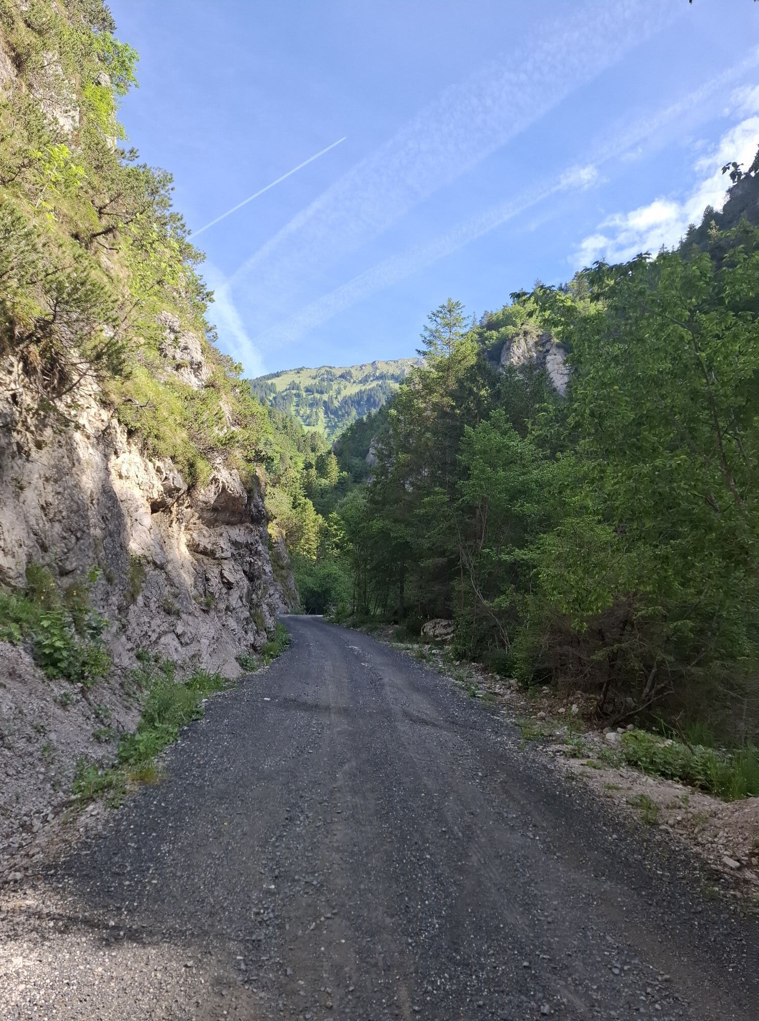
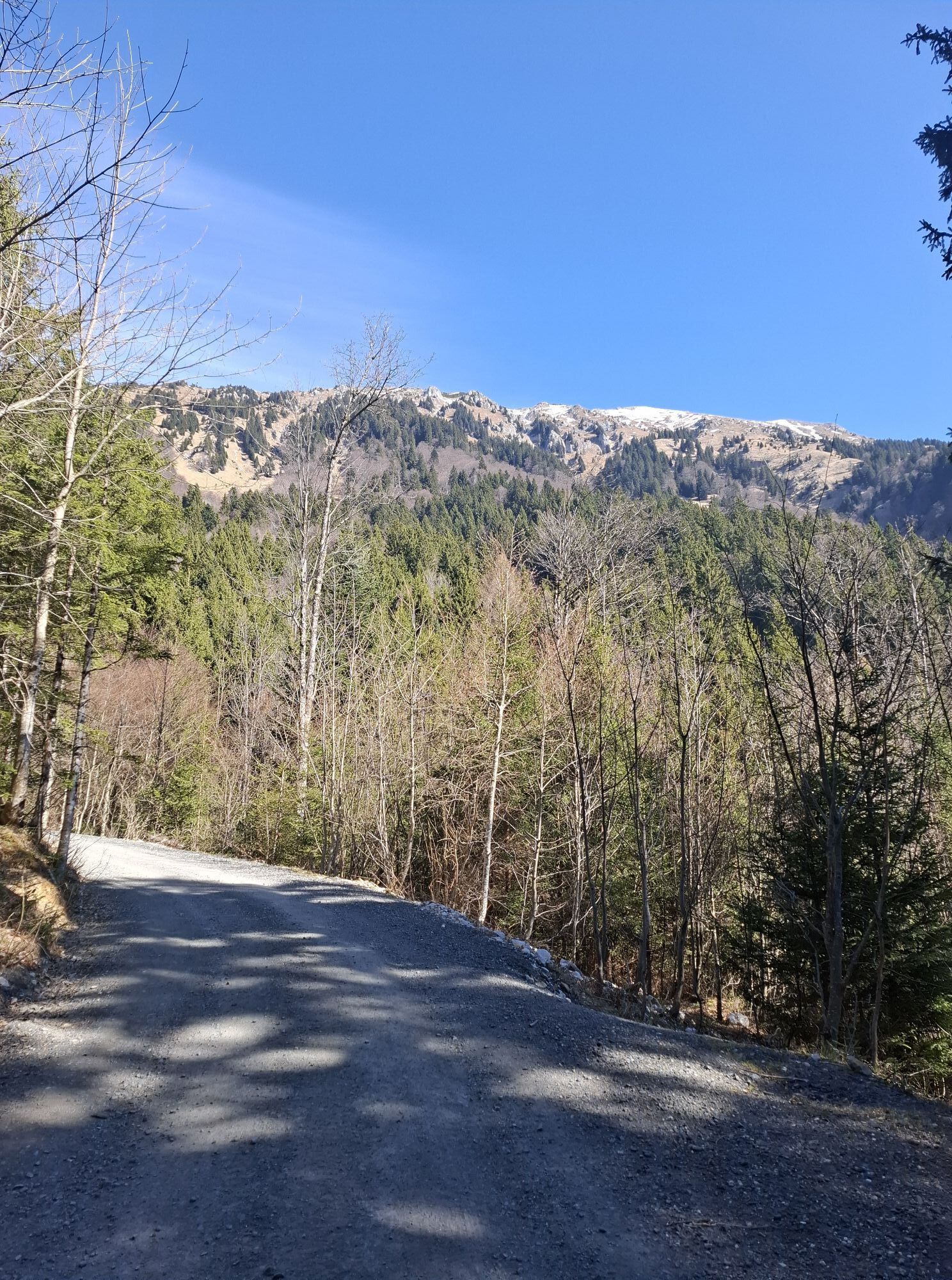
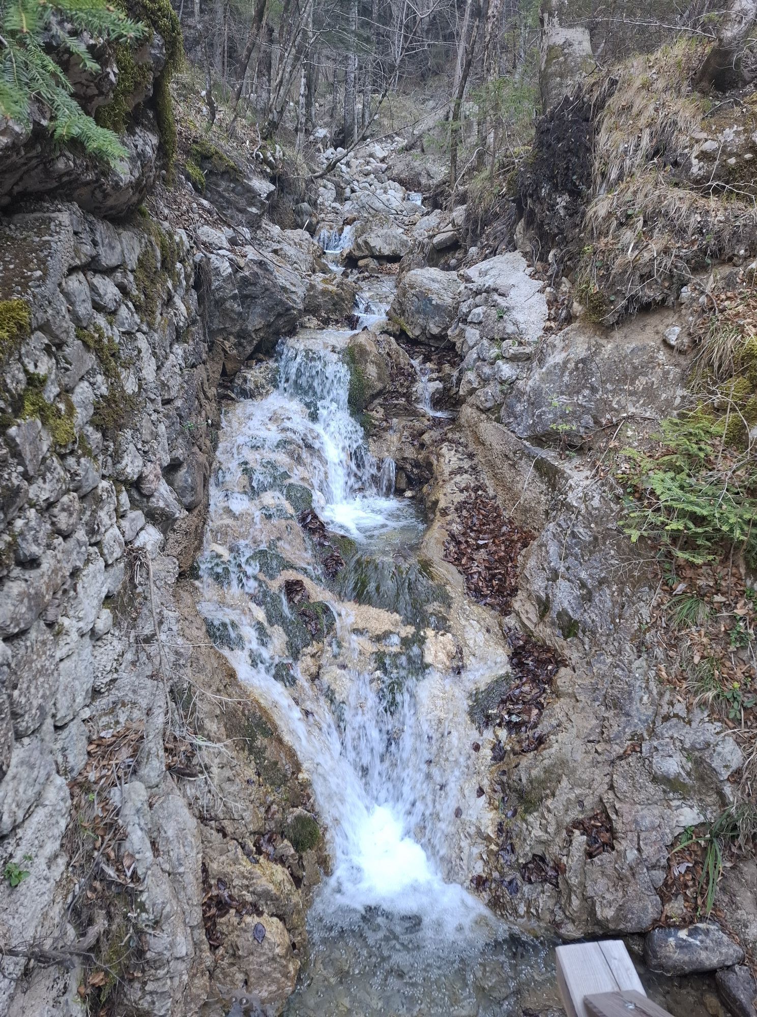
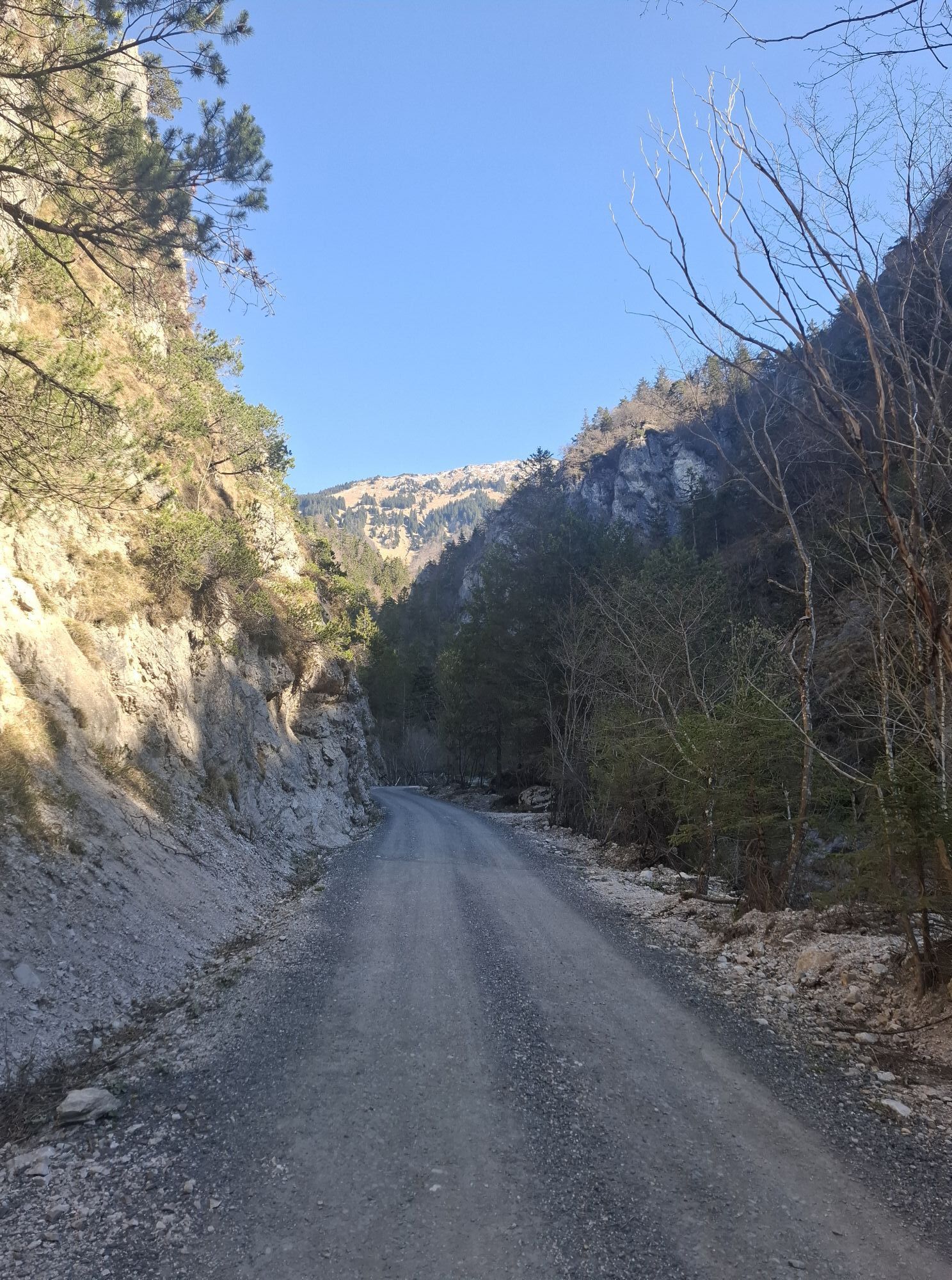
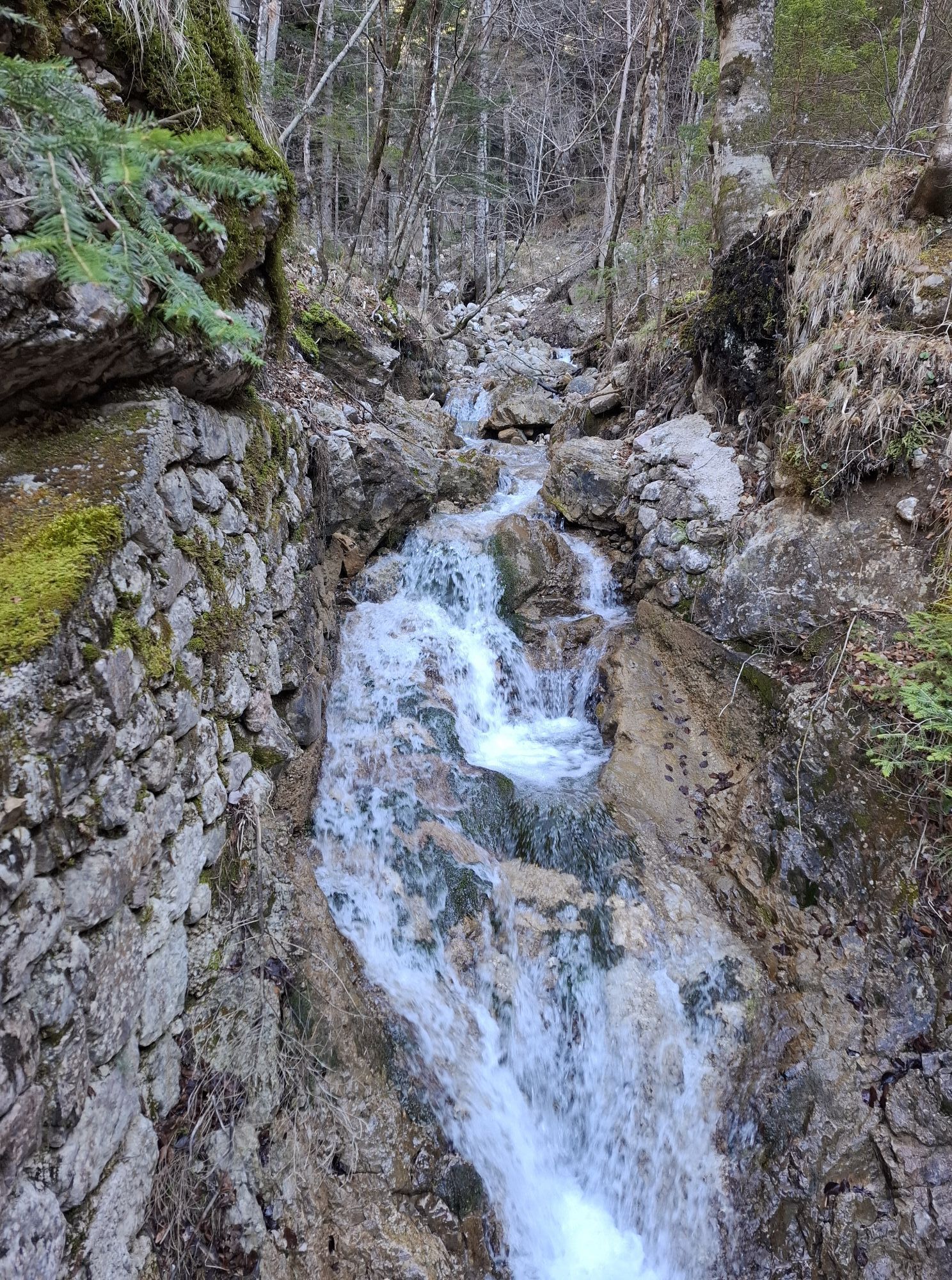
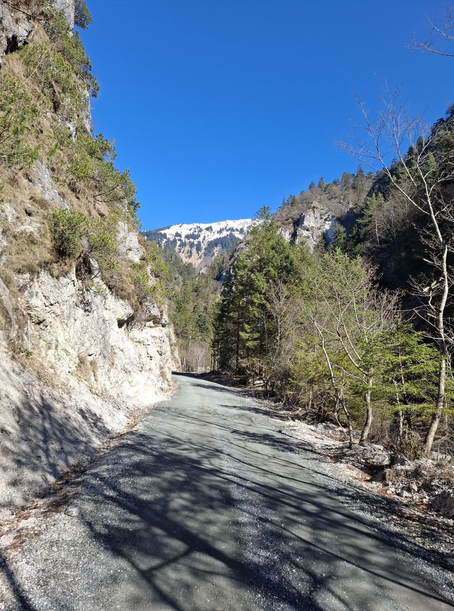
At this point you can decide to continue the descend on the road, of follow the Shephers trail on the official shortcuts (recommended). The trail leads you across the pastures and enters the forest close to the the first left turn on the gravel road. The well beaten trail continues straight trough the forest, occasionally crossing the gravel road. Eventually the trail joins with the road and enters a narrow gully. Though the walk follows the gravel road, this section is very scenic due to the company of a lively mountain stream and surrounding rocky crags. There road gradually levels and reaches the Draga Inn at the start of the circular walk.
Áno
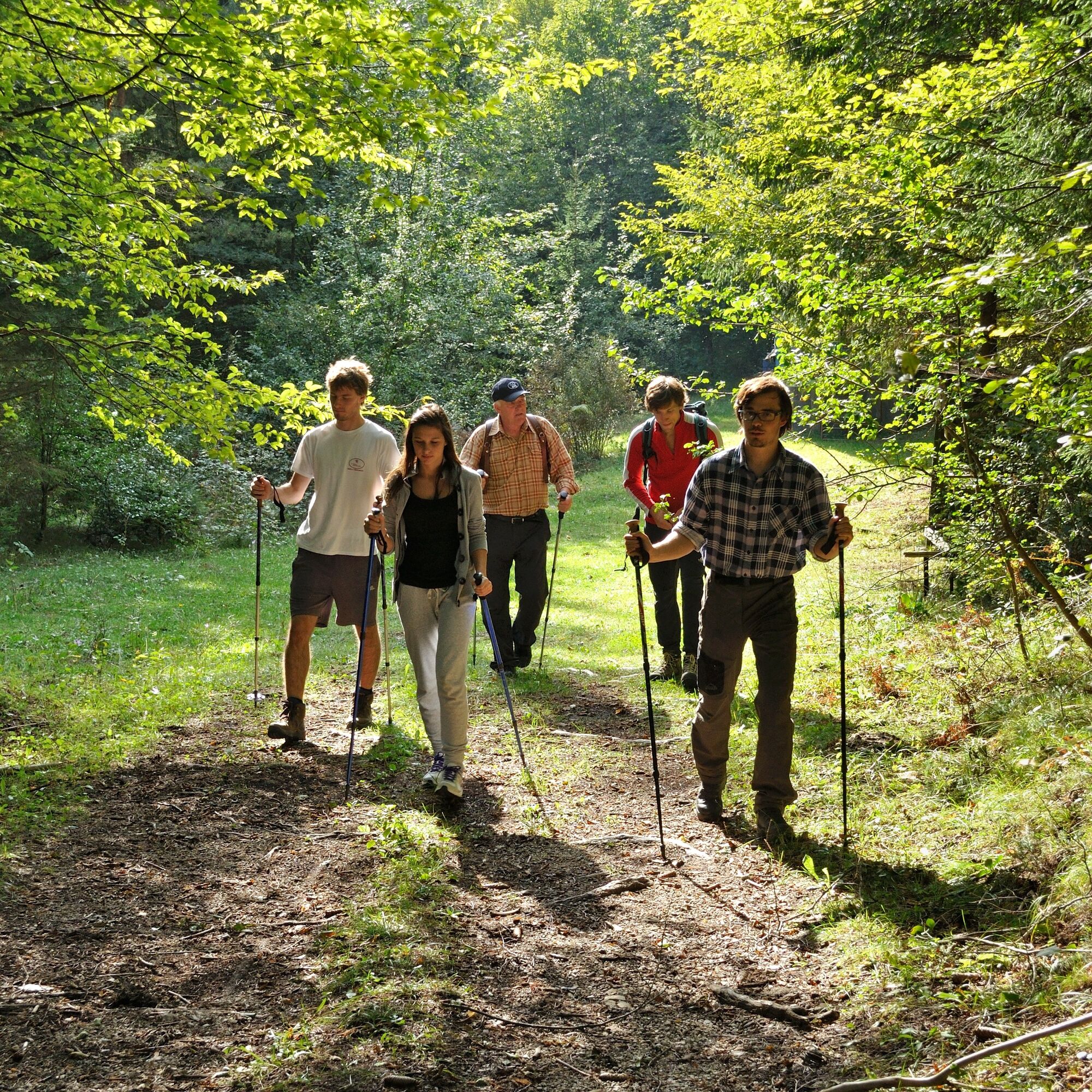
Sturdy boots are warmly welcome, especially on the traverse from Prevala alpine pastures to Roblekov dom alpine lodge. Begunje Shepherd's trail is a proper alpine hike, therefore a back-pack with rain jacket, water flask etc. is recomended.
In Luknja Gorge (10- 15 minutes after the start of the walk) a short metal ladder has to be scaled in order to ascent the ravine (easy).
Exit Ljubljana - Jesenice Highway (E61) on Lesce-Bled exit and drive towards Begunje na Gorenjskem. Stay on the main road through the village (direction Tržič). Turn left towards Kamen Castle on the of the village. Drive past Kamen Castle and leave your car on one of the parkings after you reach Draga Inn.
If using public transport, the bus will leave you in Begunje na Gorenjskem. From there you can start the hike via Lambergh's Trail or on the main roud through Draga Valley.
There are smaller parkings in Draga Valley. Parking free.
Accommodation is possible on Roblekov dom Mountain Hut or in Draga Inn at the begining of the tour.
Webové kamery z prehliadky
Aktivity počas prehliadky


Obľúbené výlety v okolí
-
3,9
Tscheppaschlucht Ferlach
svetloTuristika 5,90 km -
4,1
MTB-Tour zur Klagenfurter Hütte
strednáMountainbike 12,6 km -
4,5
Slow Trail Meerauge
svetloTuristika 5,25 km -
4,6
Water experience trail Hainschgraben
strednáTuristika 9,23 km -
4,6
Heart trail around Bled lake
strednáTematická trasa 5,93 km -
4,3
From Bärental to the Kosiak (Klagenfurter Hut)
strednáTuristika 9,67 km -
4,7
Ogrisalm ab Bodenbauer, Kärnten/Österreich
svetloSkitour 11,2 km -
4,1
Through the Tscheppa Gorge to Bodental
strednáTuristika 10,6 km -
3,9
Singerberg, über die Südseite
strednáTuristika 7,87 km -
4,6
Sinacher Gupf crossing
strednáTuristika 8,32 km
Turistika a stopovanie


Nenechajte si ujsť ponuky a inšpiráciu na ďalšiu dovolenku
Vaša e-mailová adresa bol pridaný do poštového zoznamu.