


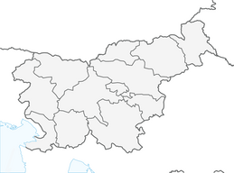


Banjšice: the Sedevčič Trail

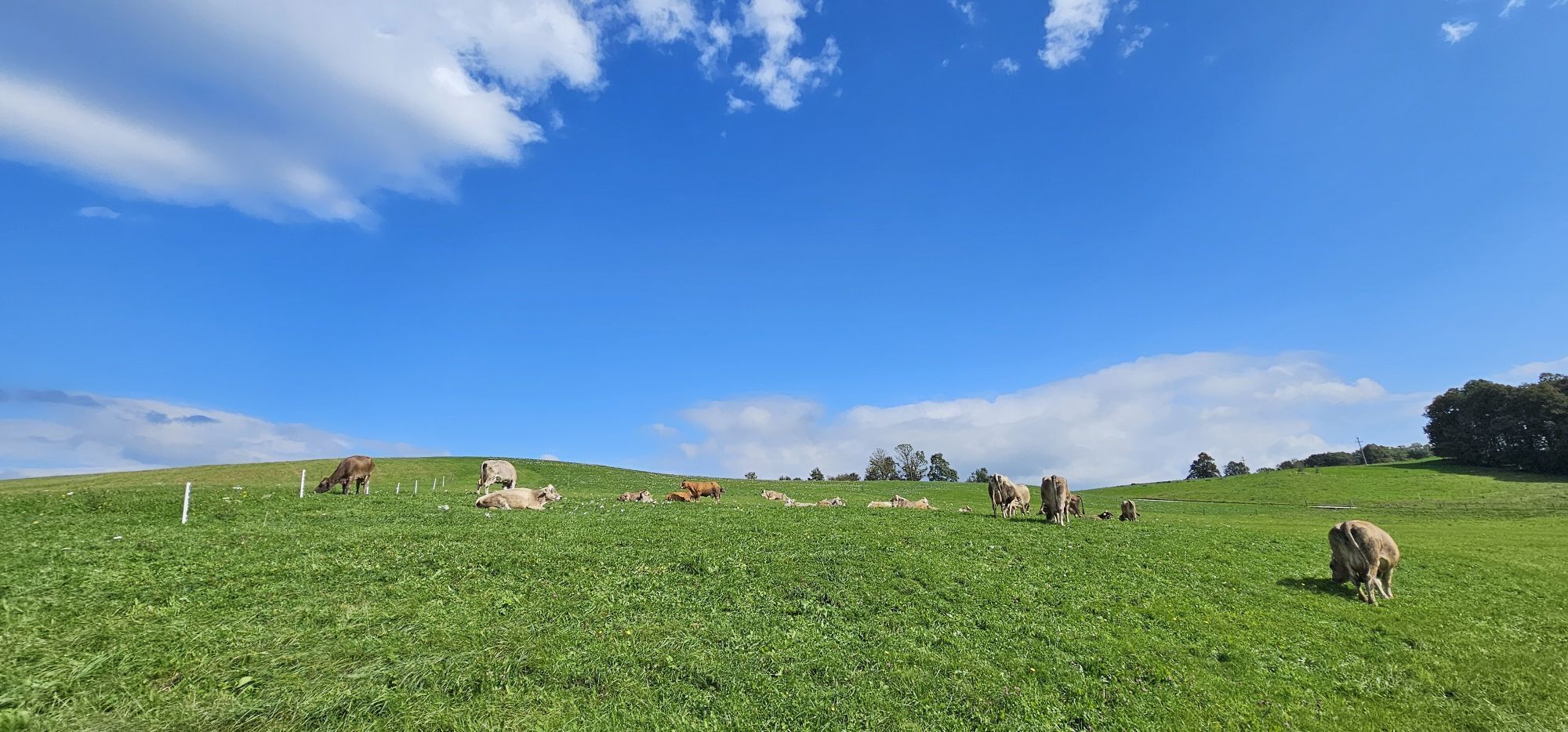
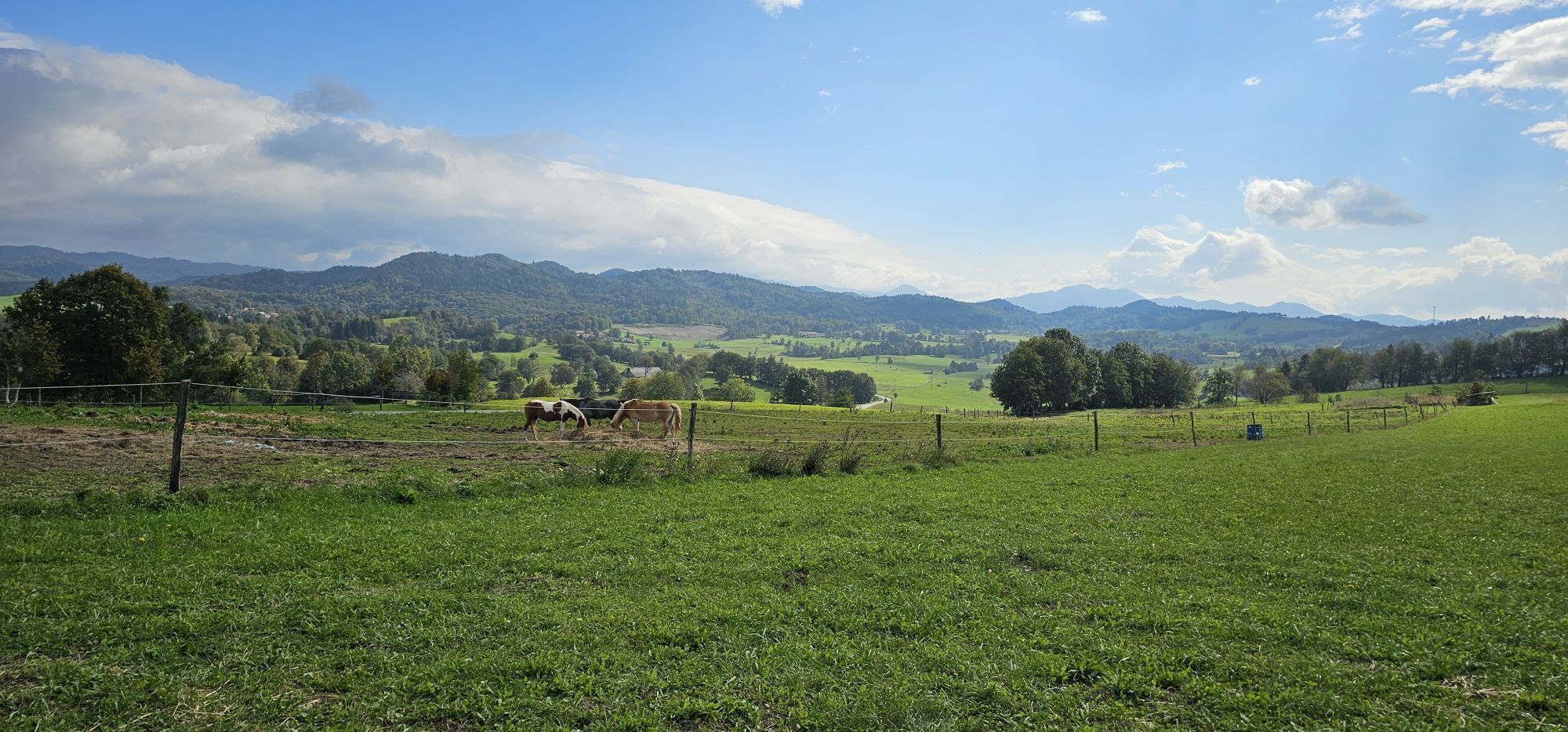
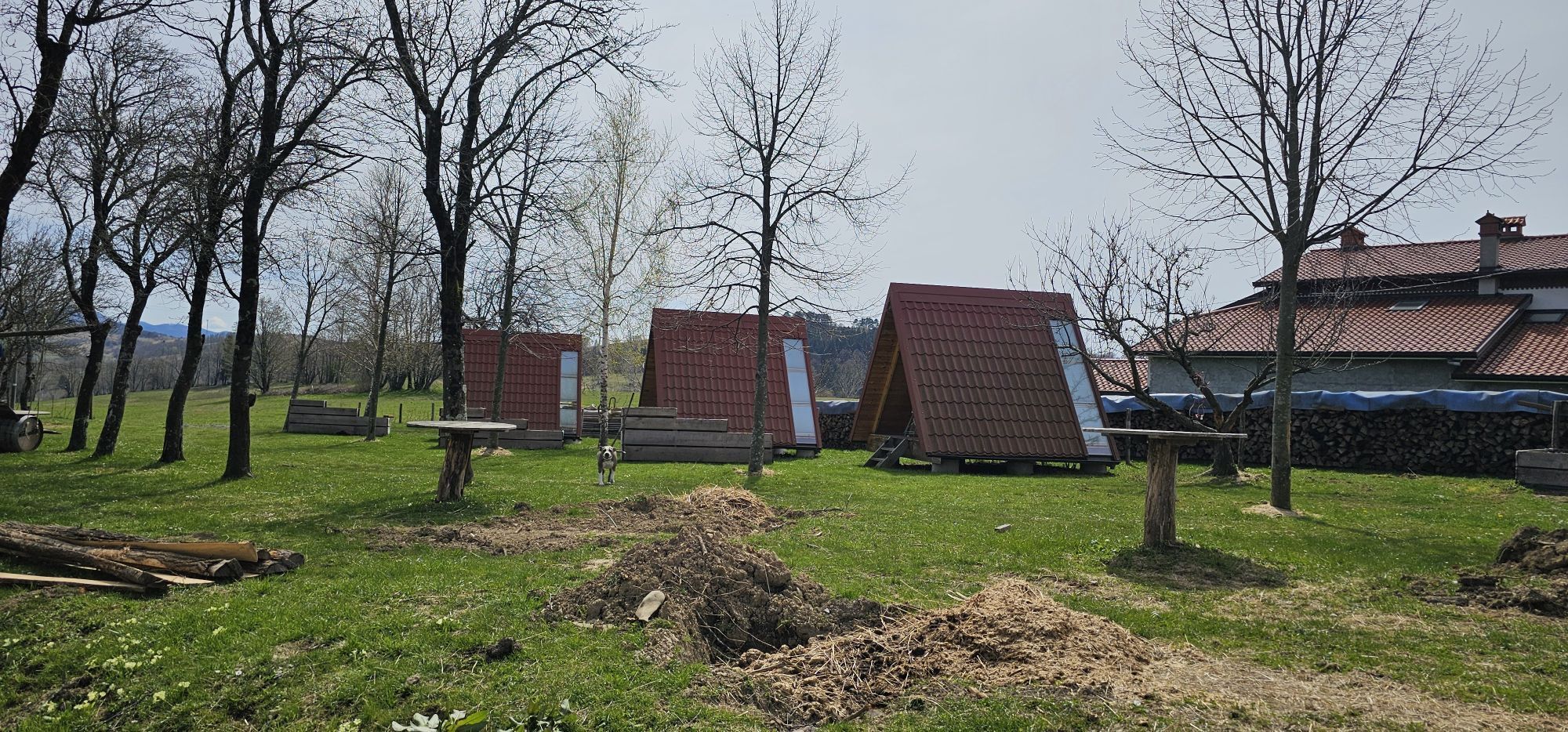
This mellow yet slightly longer trail leads through the primal world of the Banjšice Plateau, past signature villages, over grassy slopes and through pristine forests. The trail is the perfect choice for...
This mellow yet slightly longer trail leads through the primal world of the Banjšice Plateau, past signature villages, over grassy slopes and through pristine forests. The trail is the perfect choice for hikers who want to quiet their mind and spend their day listening to nature, or to simply get away from the summer heat.

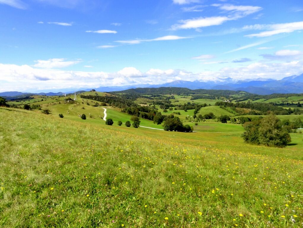
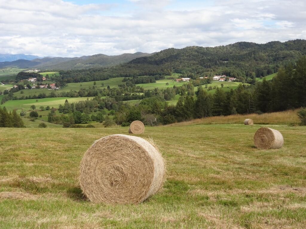
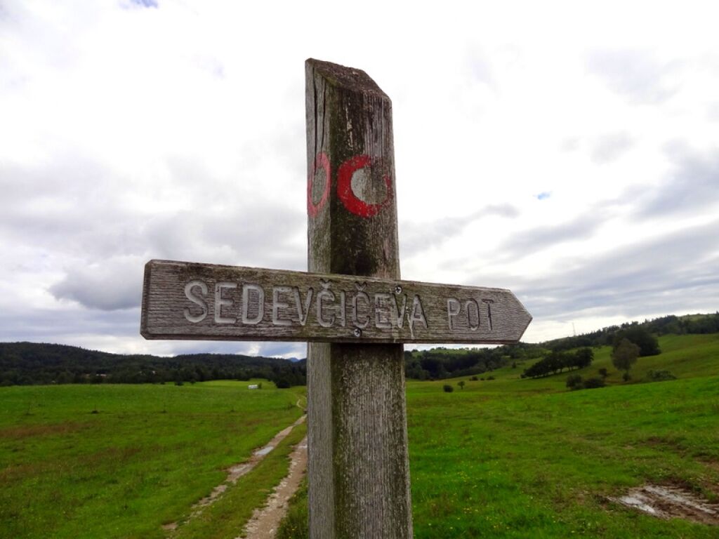
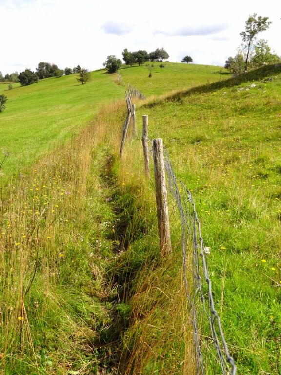
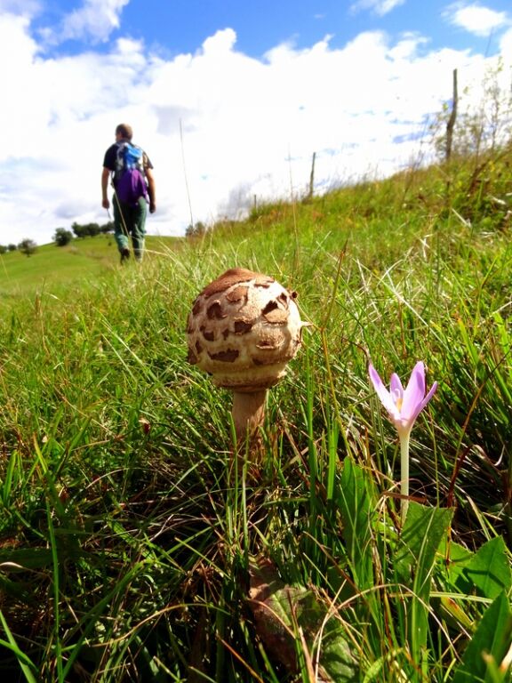
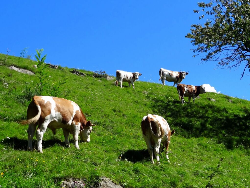

Start at the parking lot in front of the village hall in Banjšice. Head to the road towards Nova Gorica. After approx. 300 m, the marking directs you to Mt Slemen (800 m). You will reach Kuk over an up-and-down grassy slope, pass the Sveto–Krvavec road, and in a slight incline hike up the pasture to a forest until you finally reach Mt Zgorelec (876 m). From its summit, head east and down the cart track that takes you to the Banjšice–Lokovec gravel road. After one kilometre, the marking directs you right up the hill over a marked shortcut, until, after 300 m, you will reach a cart track that takes you to a small wooden shack. Continue on the path over a small ridge that will lead you to the next woodland path. You will leave Mt Smrdikovec (899 m) behind you on your left. Before long, the marking shows right again to the woodland path which takes you to the foot of Mt Vetrnik (903 m). The ascent and descent from Mt Vetrnik over rocks will require you to use your hands. Next, you go downhill through Biškovec to arrive in PodlešÄe. Continuing on the asphalt road to Trušnje, you will reach the Church of the Holy Spirit. From here, first descend through the hamlet of PodgriÄ to arrive in Marcinje and next ascend to Luže. In Luže, cross the Trušnje–Kanalski Vrh road, visit the plaque to Valentin StaniÄ, pass the military cemetery from WW1, ascend the winding mule track and finally arrive on Mt Golek (821 m). On the summit, markings direct you to the hamlet of Lohke. After another two kilometres, the asphalt road will take you back to the start.
Hiking boots and hiking poles
No special safety issues


Obľúbené výlety v okolí
-
4,2
Kolovrat
strednáMountainbike 33,0 km -
3,7
Trail to the natural stone bridge Skozno
svetloTuristika 5,62 km -
JULIANA TRAIL: etappe 11 Most na Soči – Tolmin
strednáTuristika 8,12 km -
Trasa Gorizia - Kanal (SLO) (P004)
strednáDiaľková cyklotrasa 22,2 km -
Collio - Brda Ring (R014)
strednáDiaľková cyklotrasa 60,6 km -
SOČA VALLEY I6: Kanal - Most na Soči
strednáCyklistika 14,5 km -
5,0
JULIANA TRAIL - stage 17: Tolmin - Pod Ježo mountain hut
ťažkéTuristika 12,7 km -
Vitovlje circular hiking trail
strednáTuristika 7,80 km -
4,5
Tolmin - Kozlov rob - Zatolmin
svetloTuristika 3,53 km -
JULIANA BIKE - ACCESS stage: Goriška Brda - Tolmin
strednáCyklistika 48,3 km
Turistika a stopovanie


Nenechajte si ujsť ponuky a inšpiráciu na ďalšiu dovolenku
Vaša e-mailová adresa bol pridaný do poštového zoznamu.


