







Adventure at the highest point of the Vosges
Úroveň náročnosti: T1
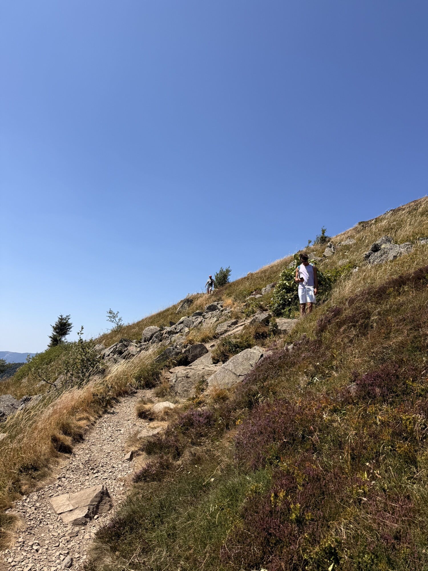
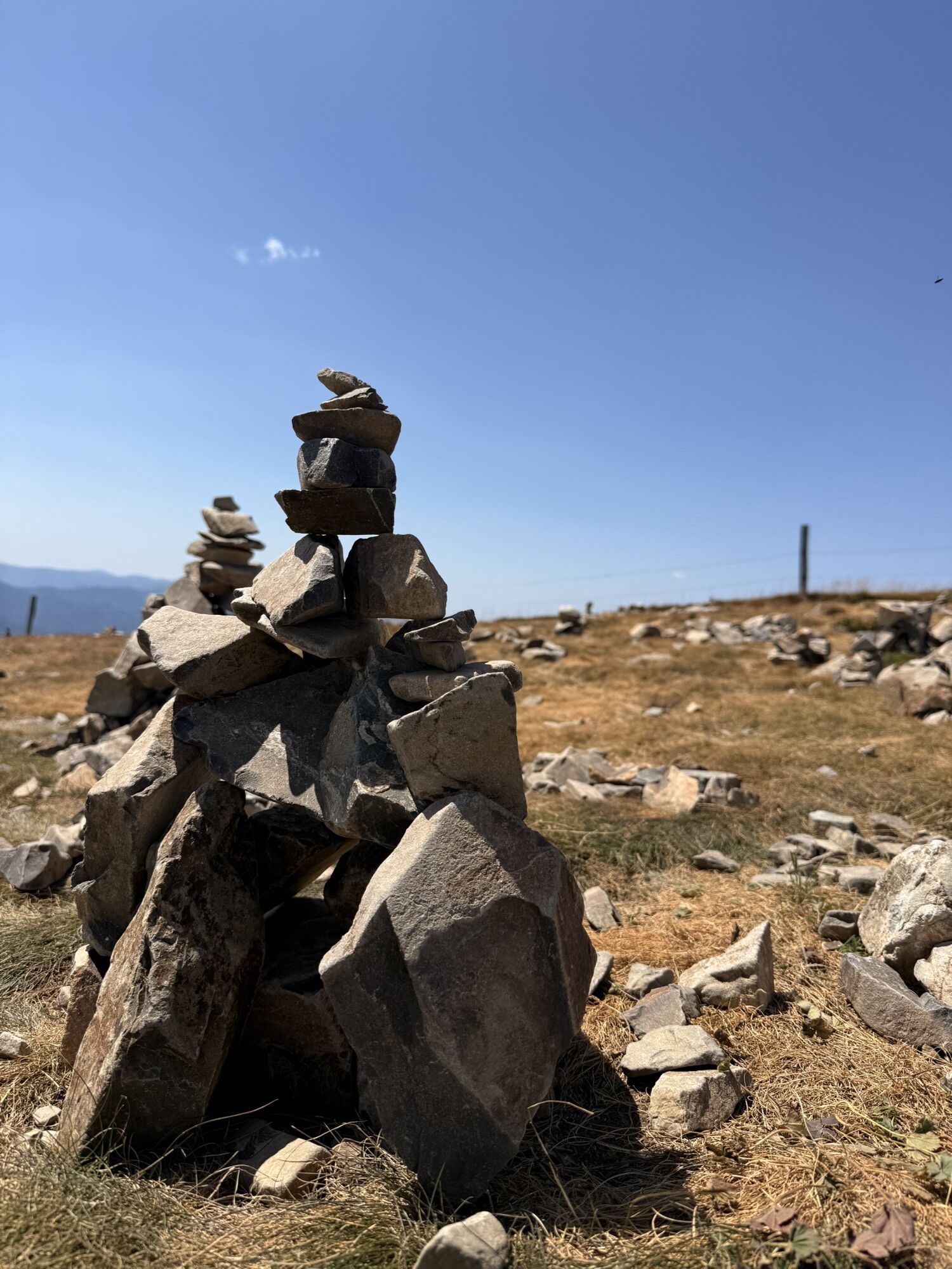
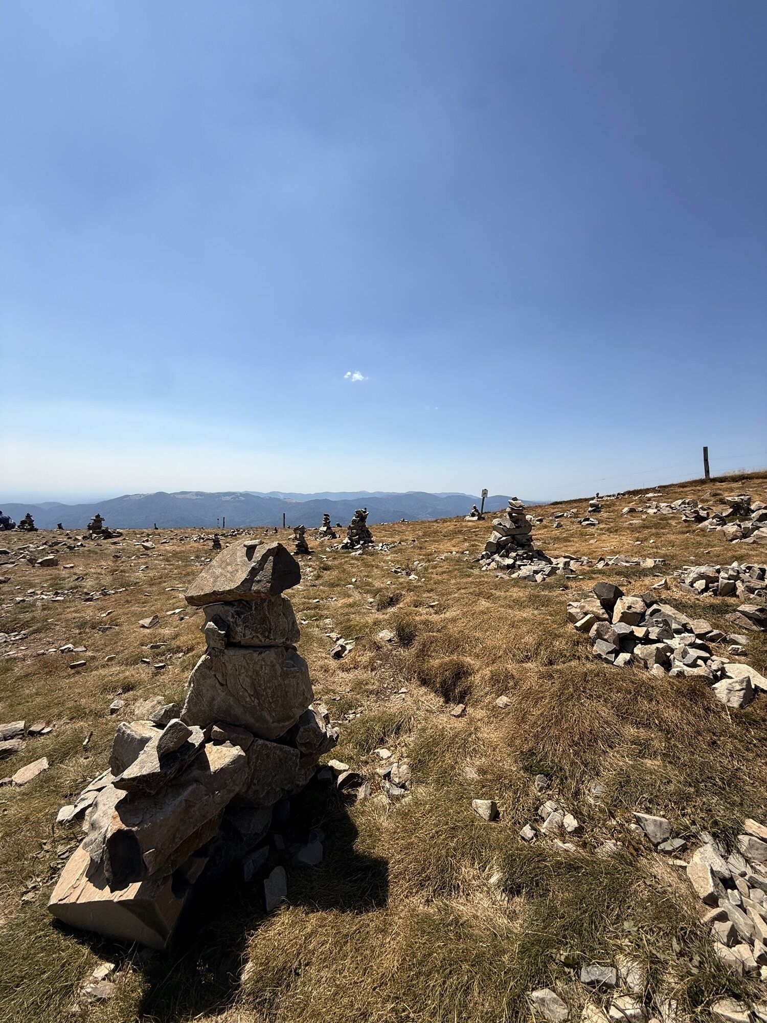
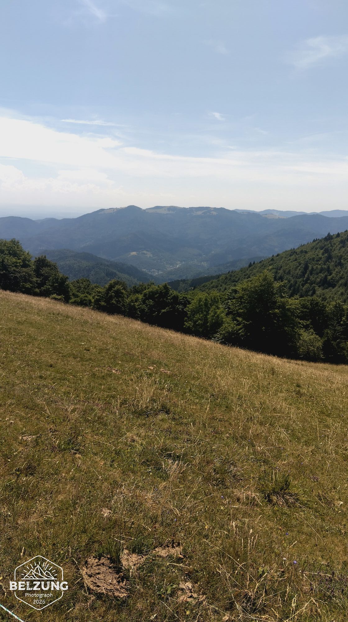
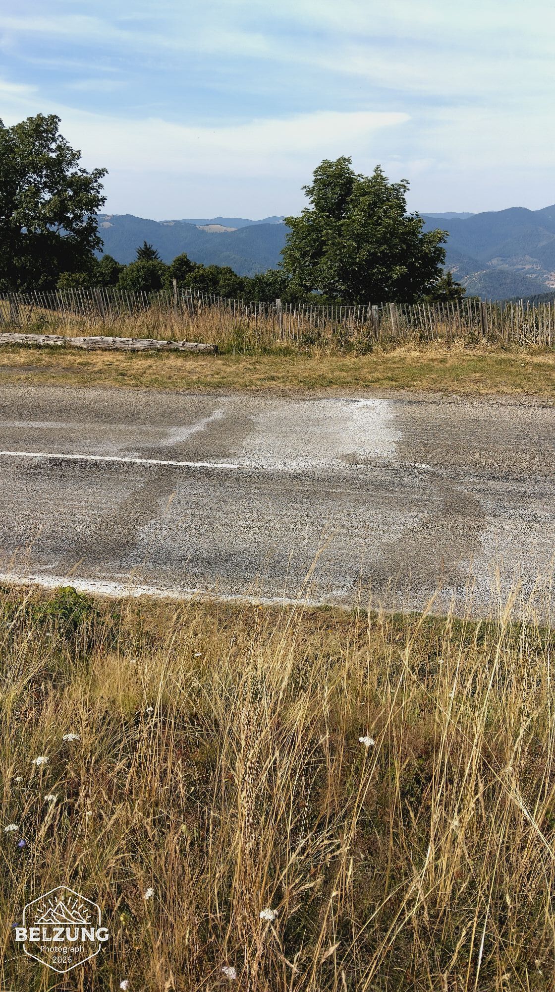
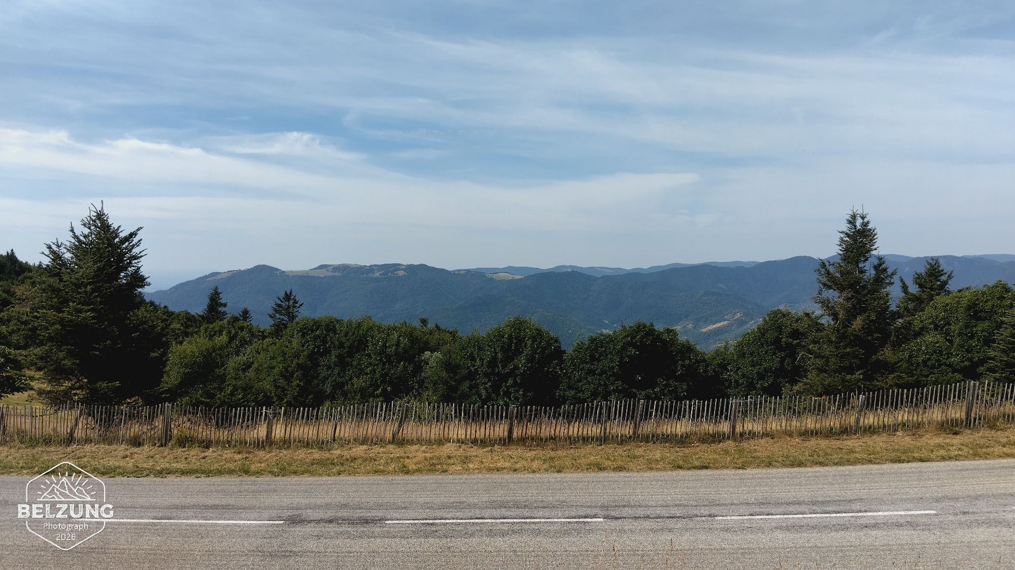
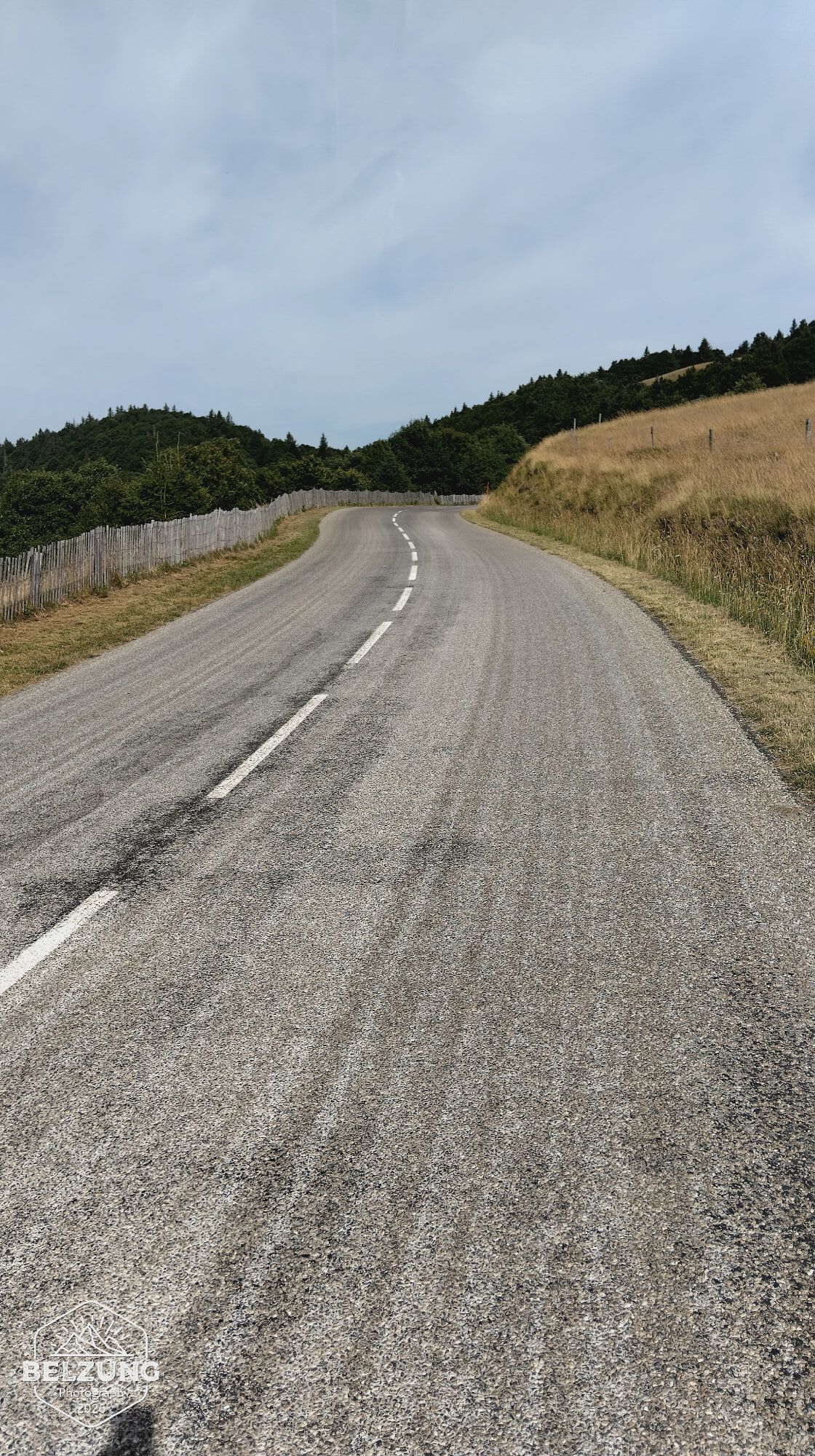
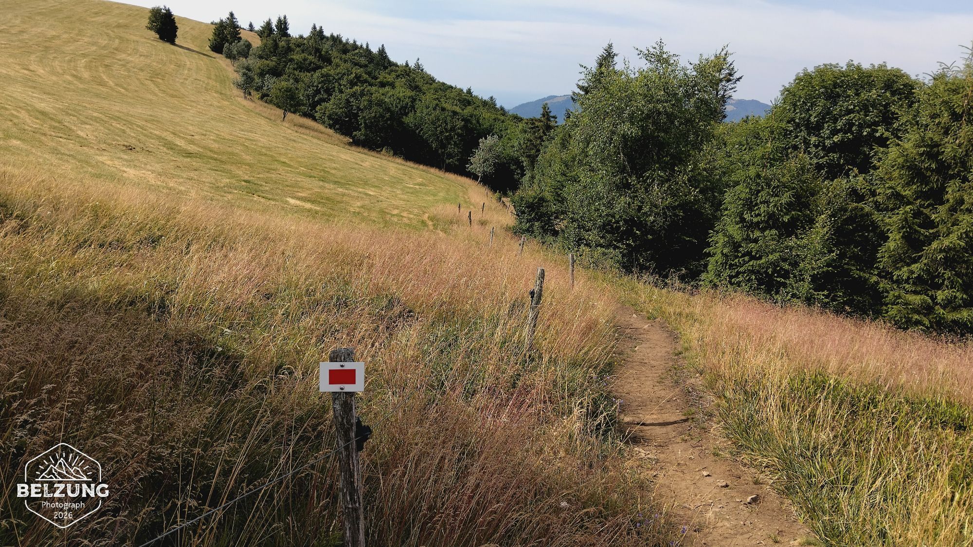
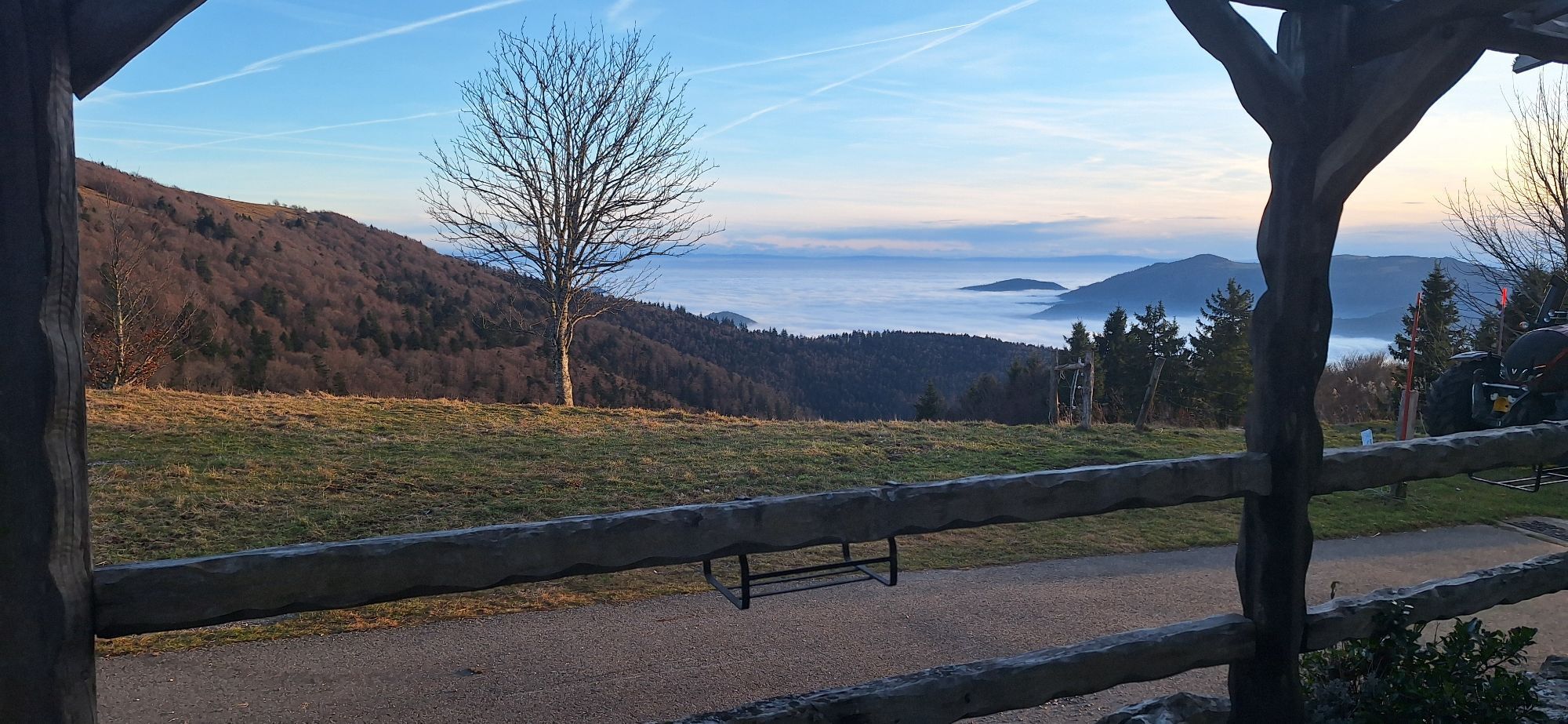
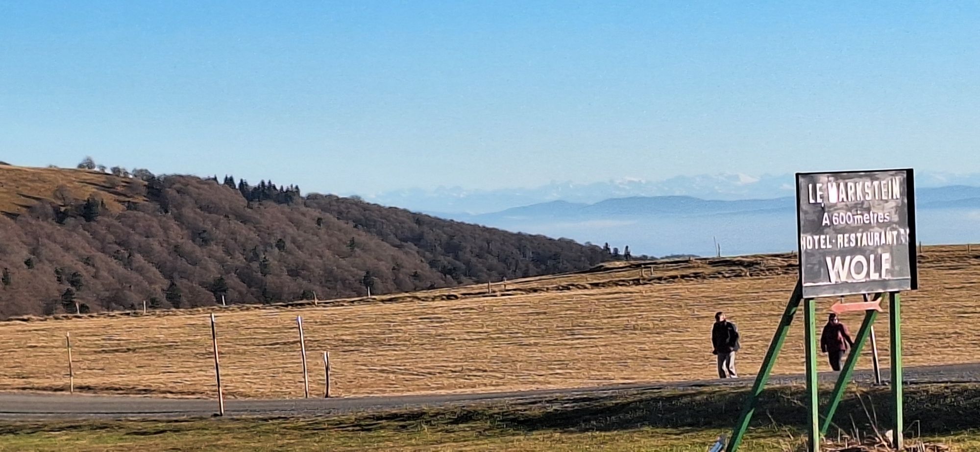
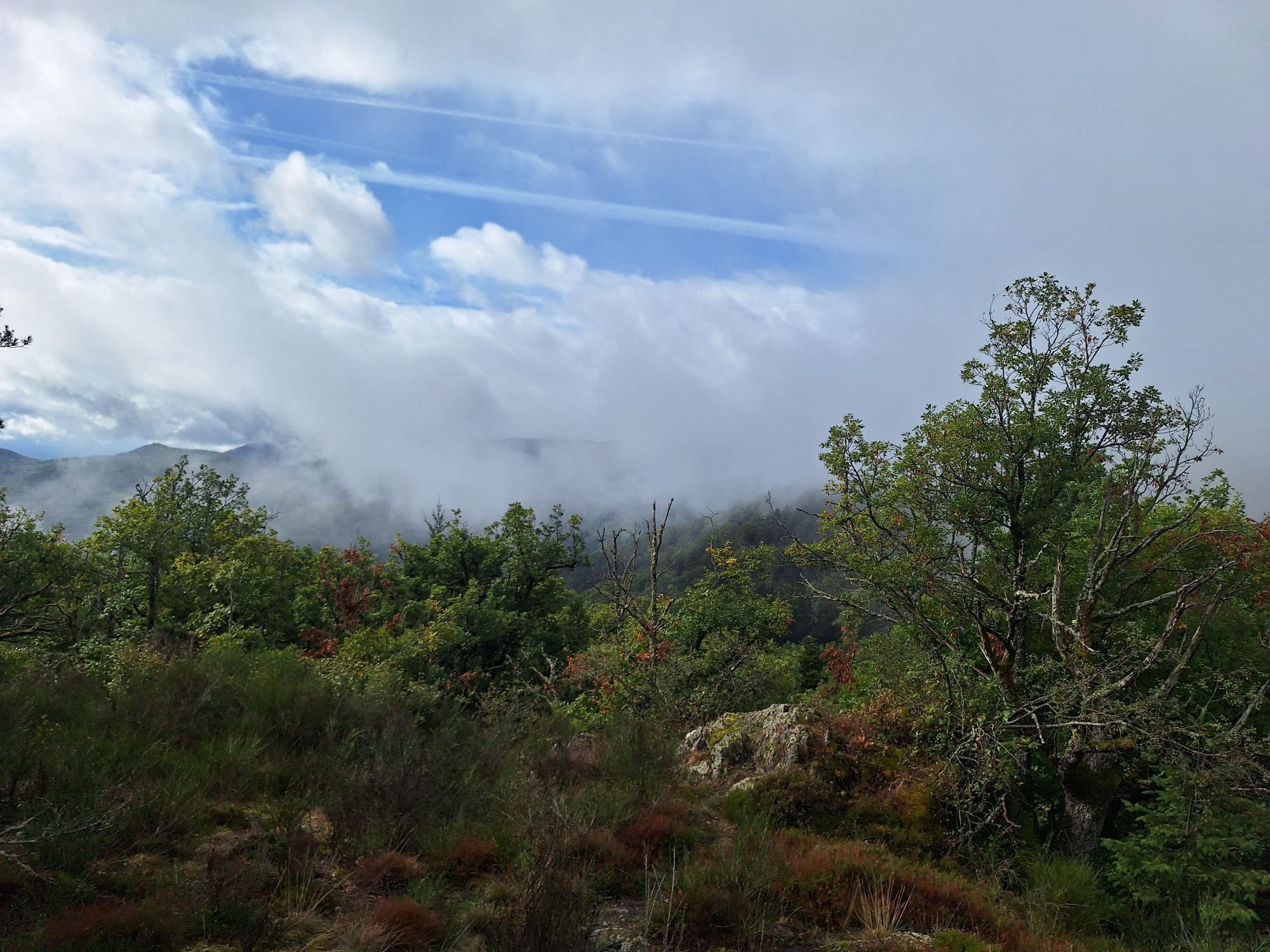
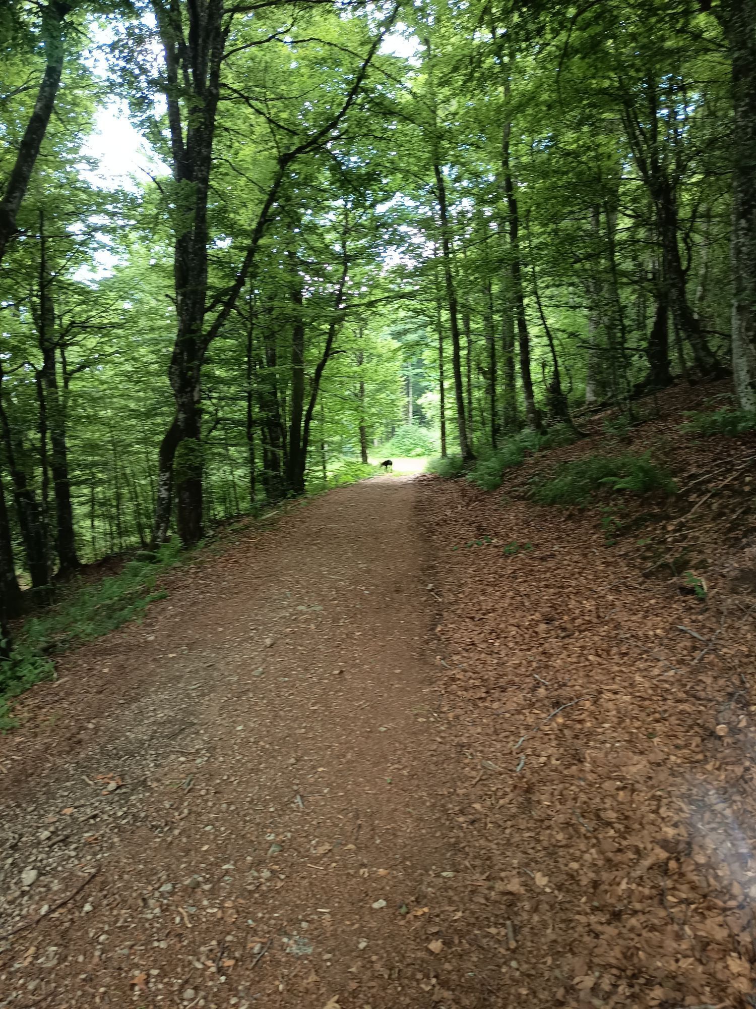
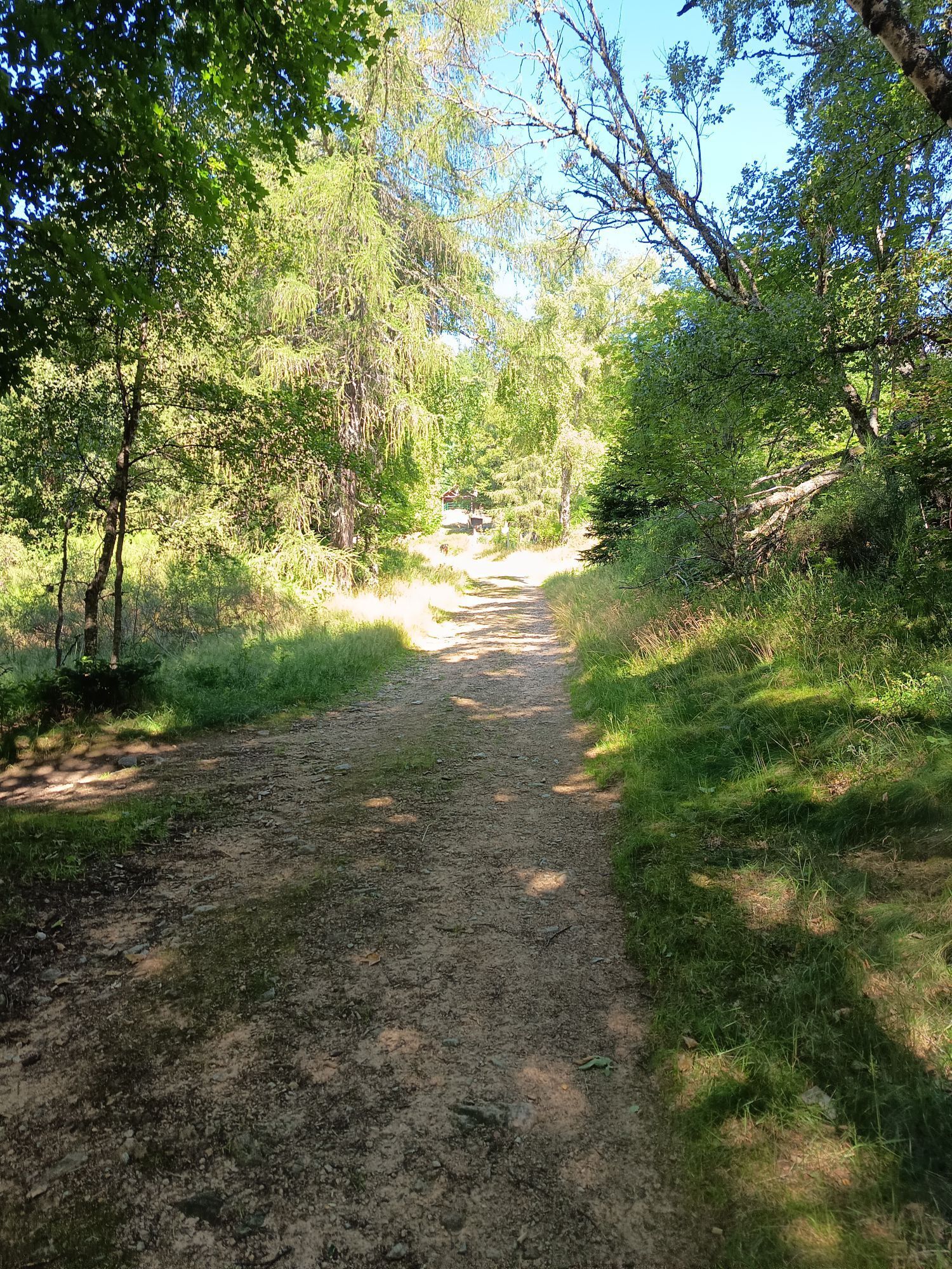
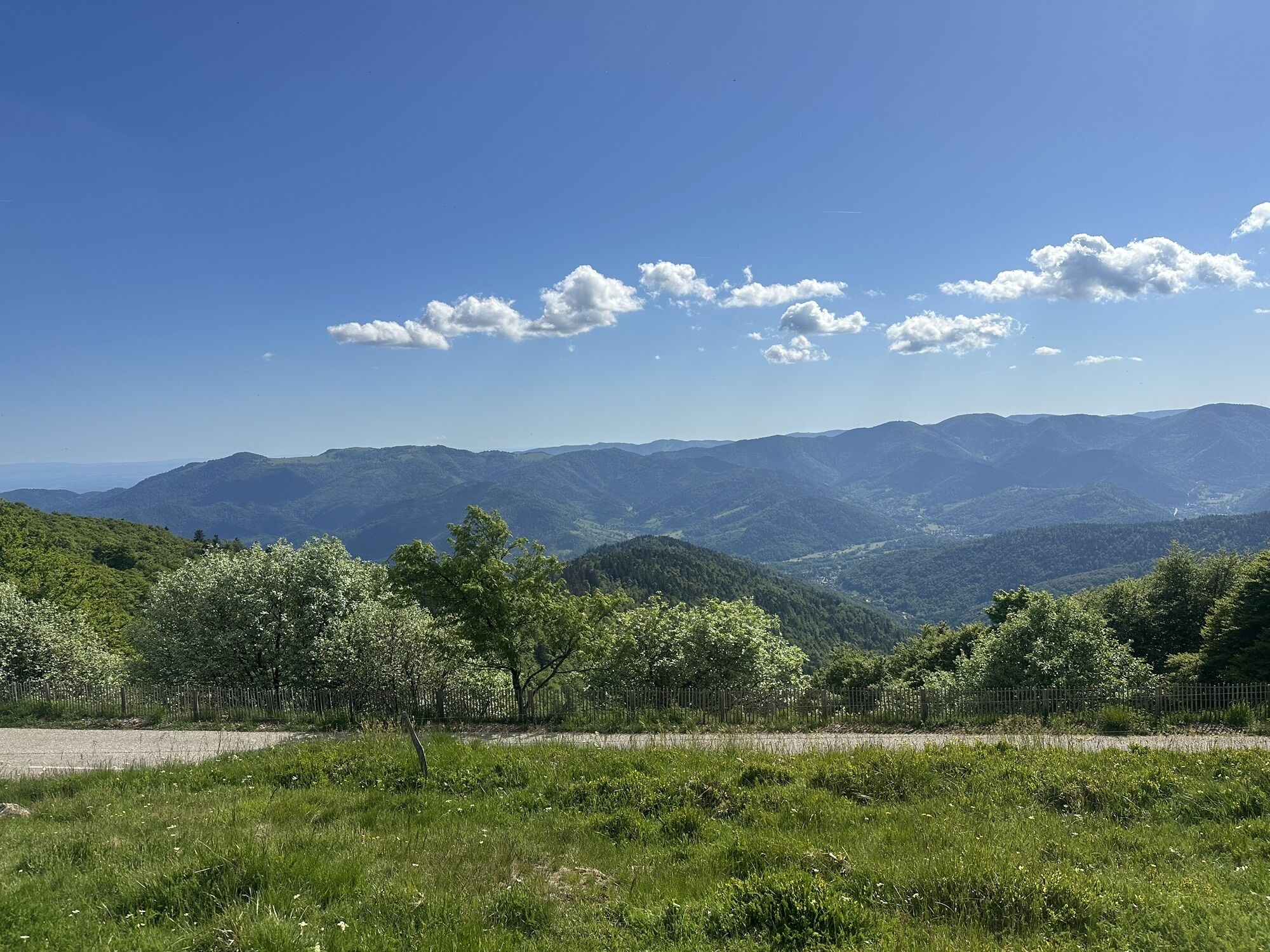
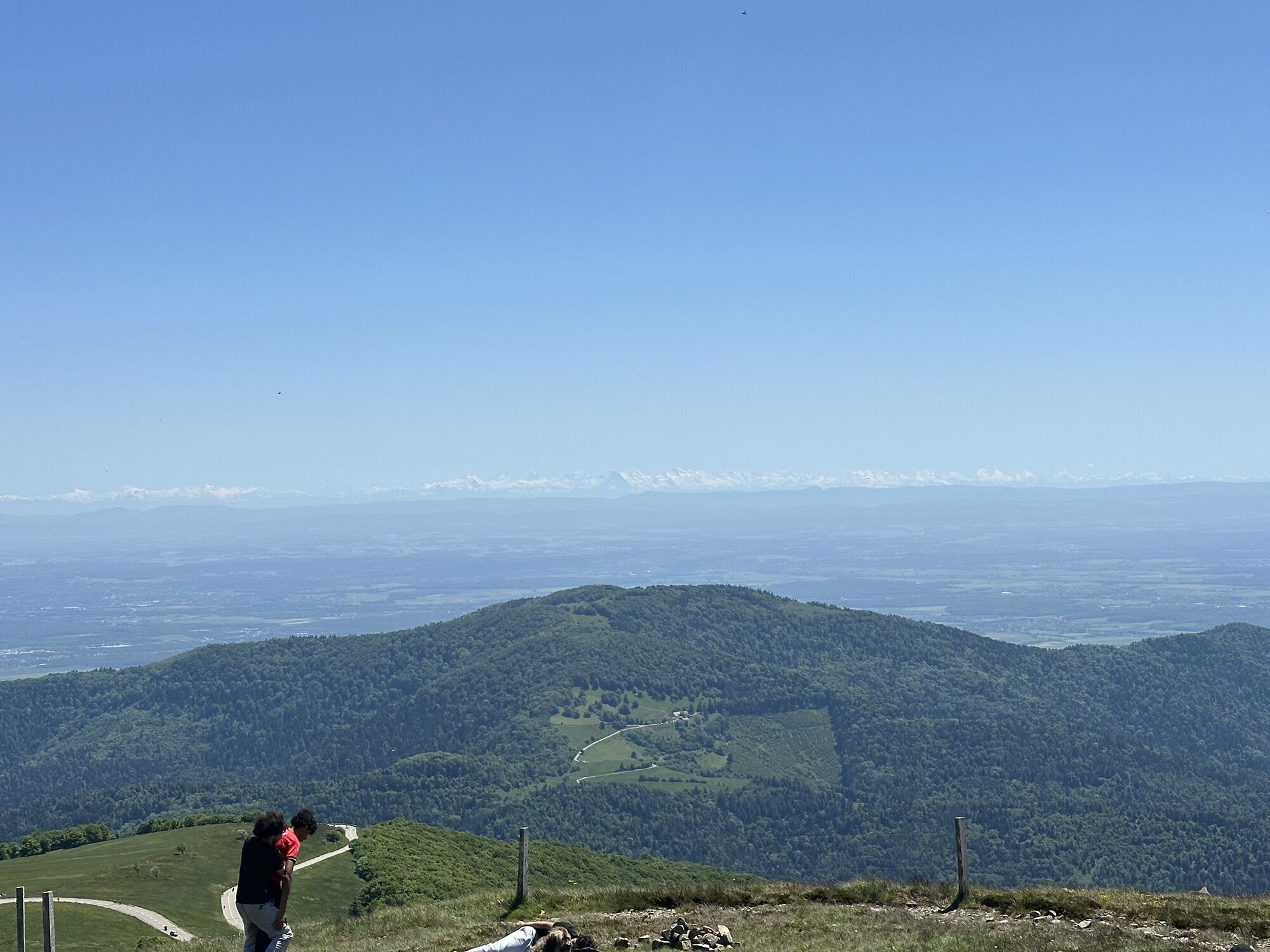
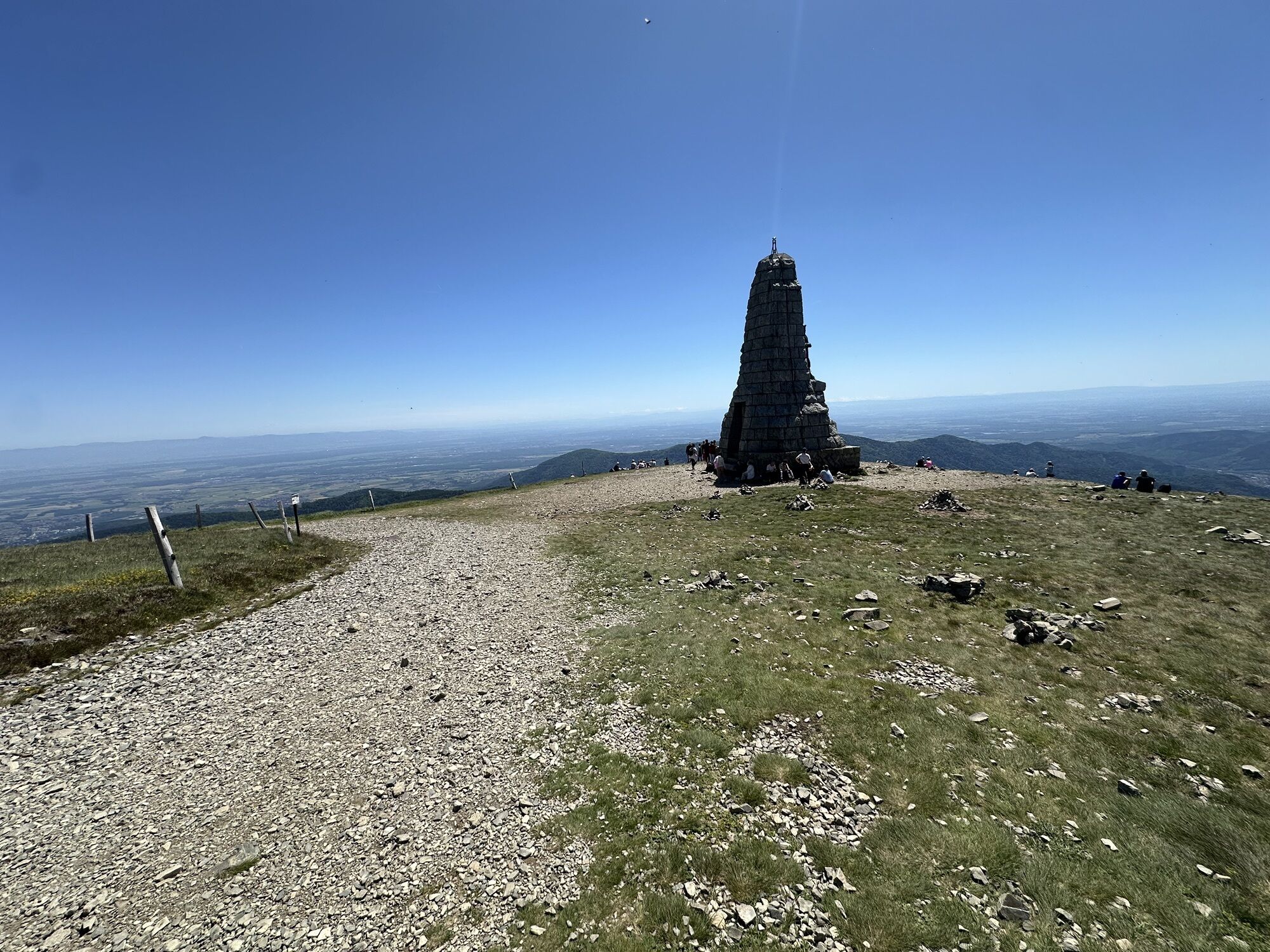
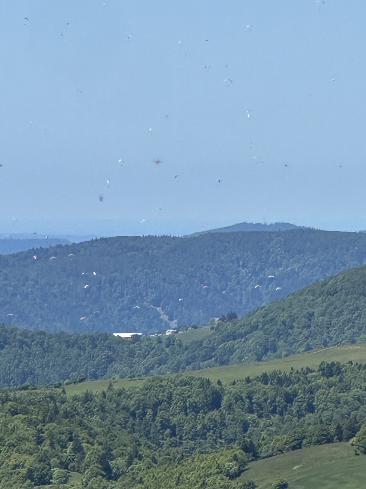
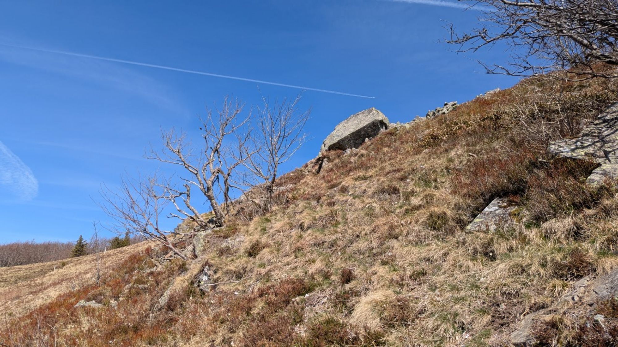
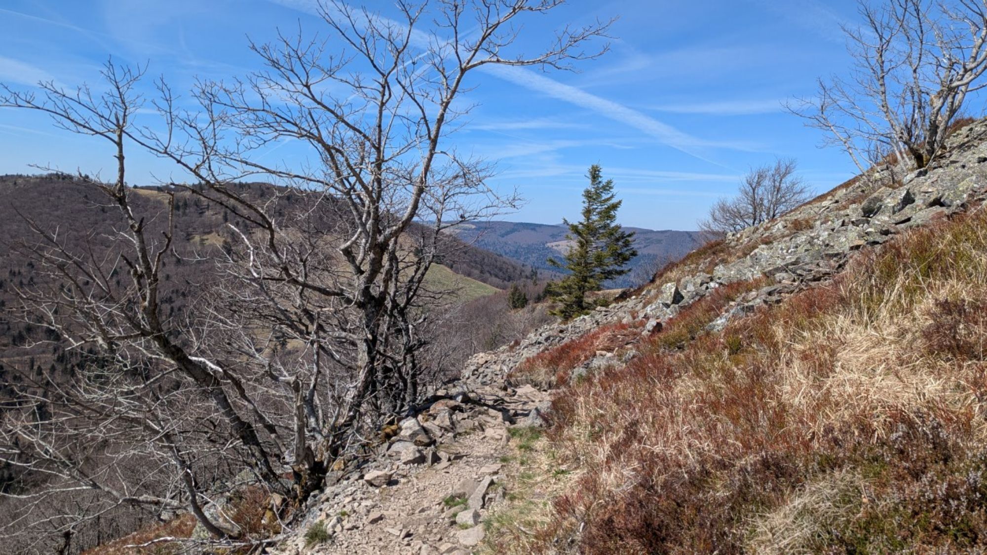
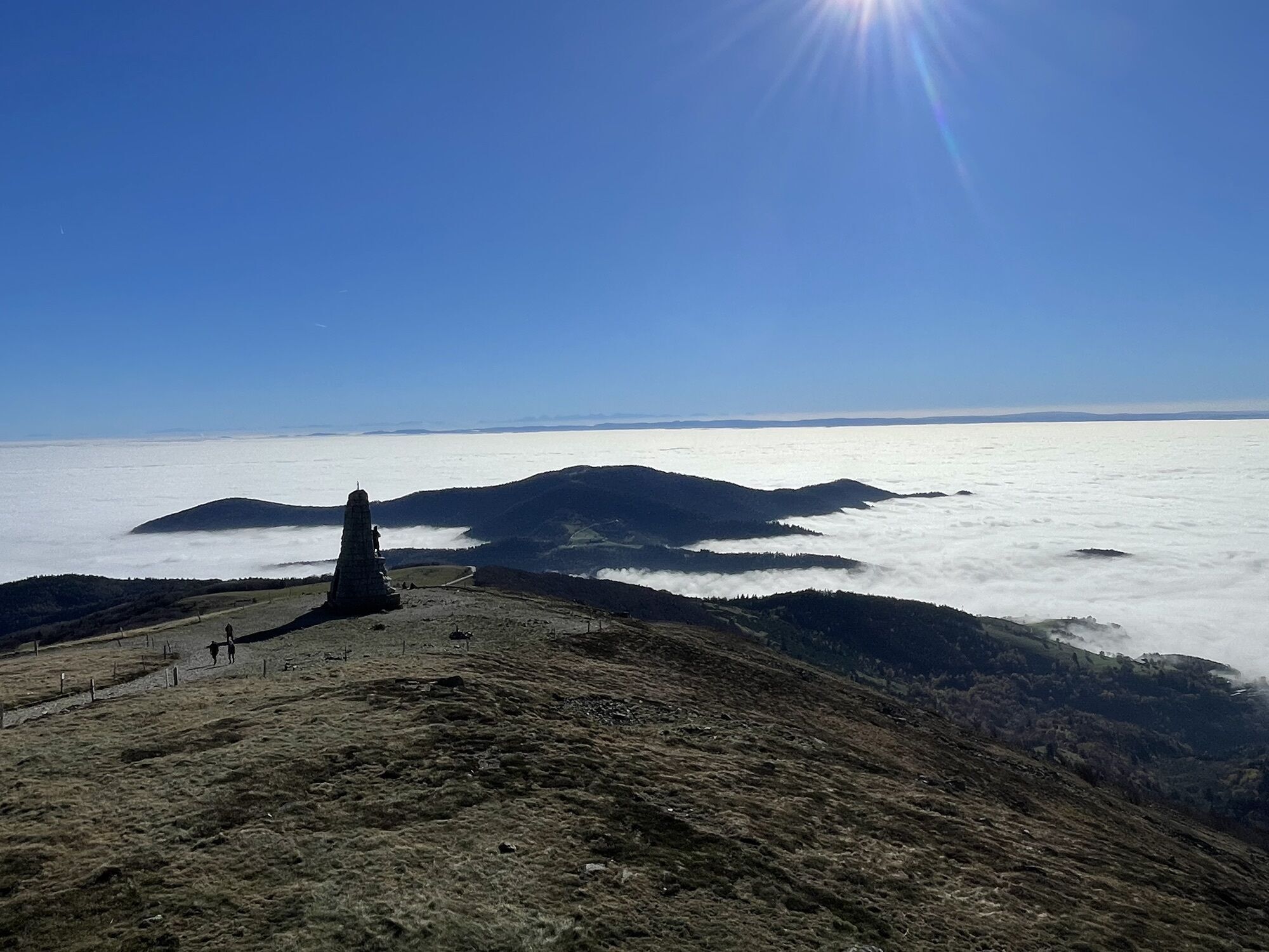
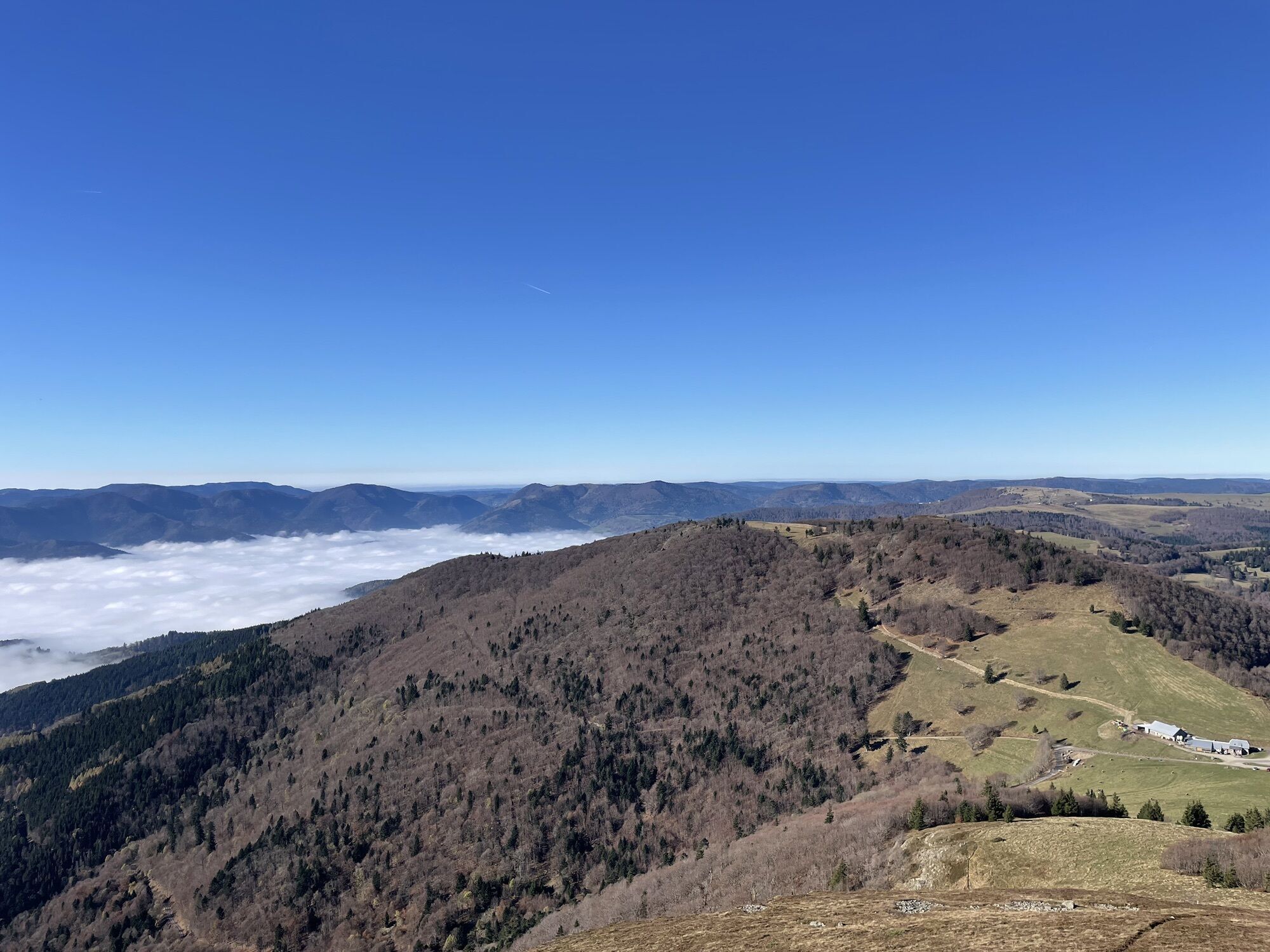
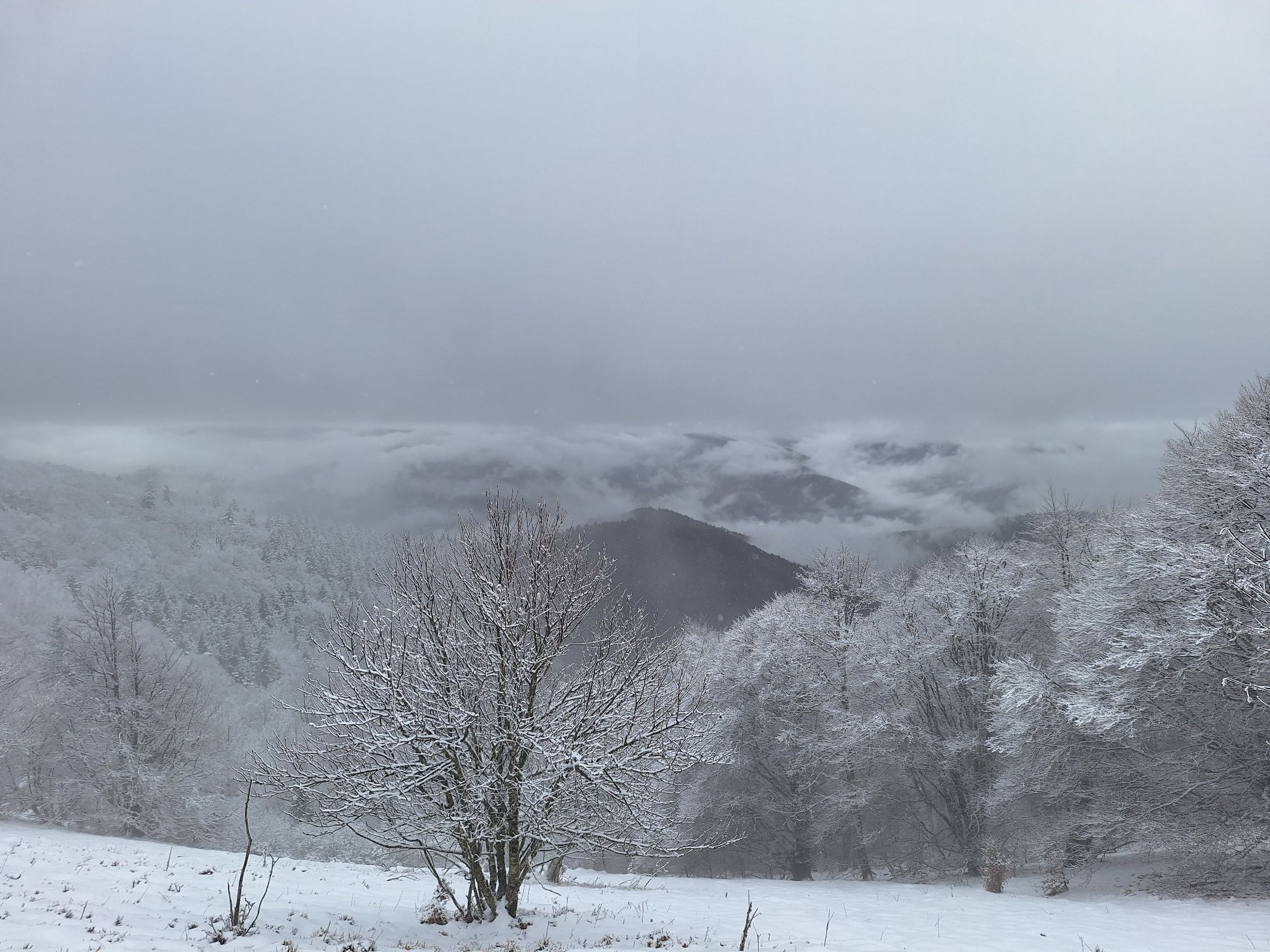
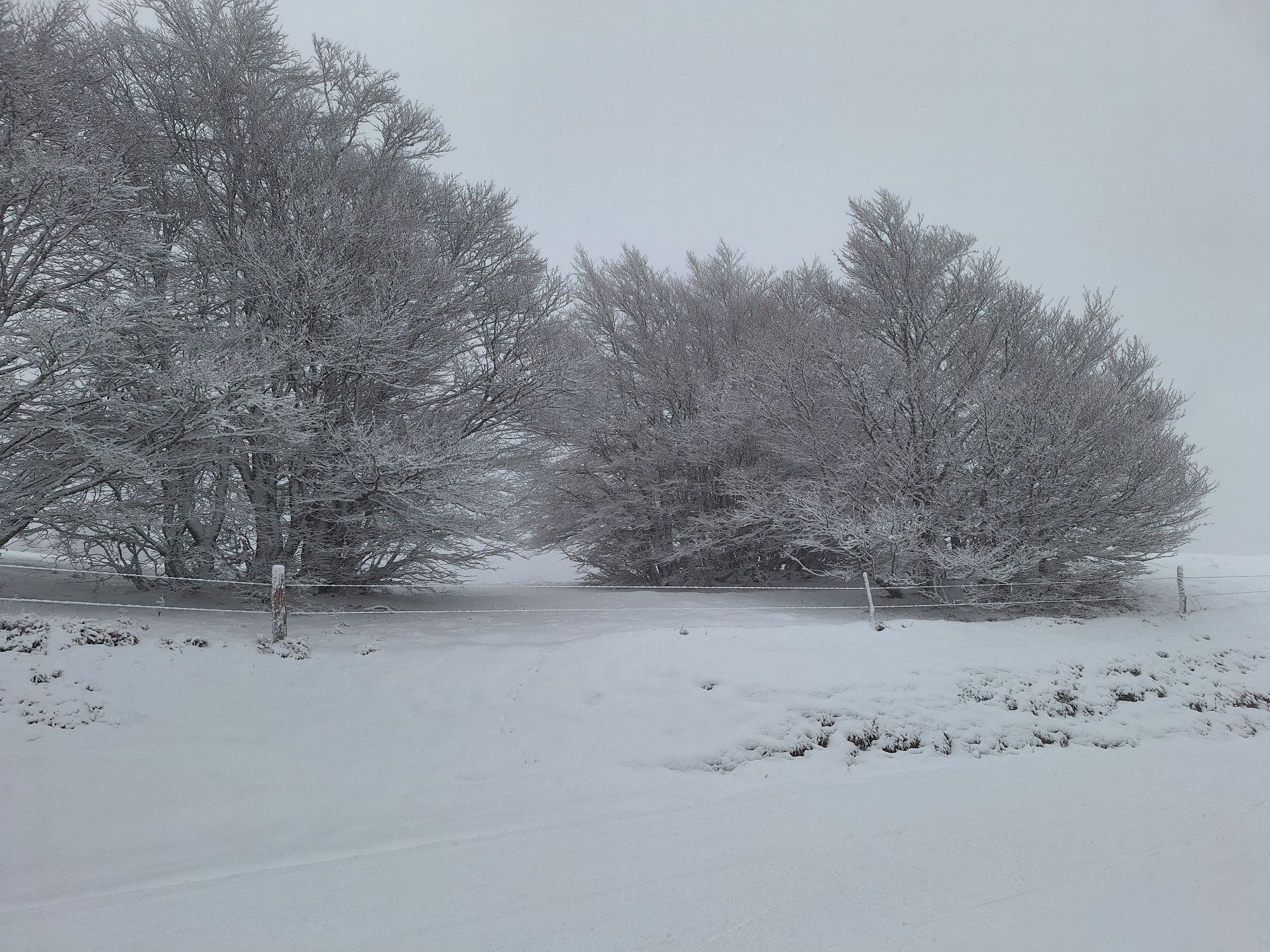
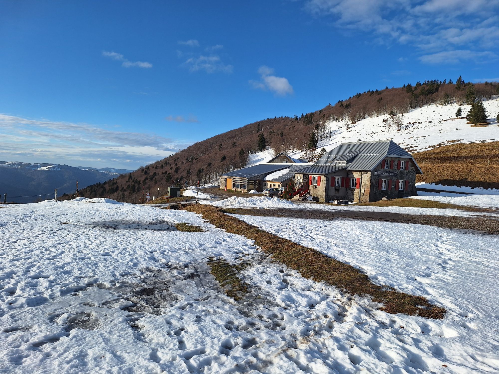
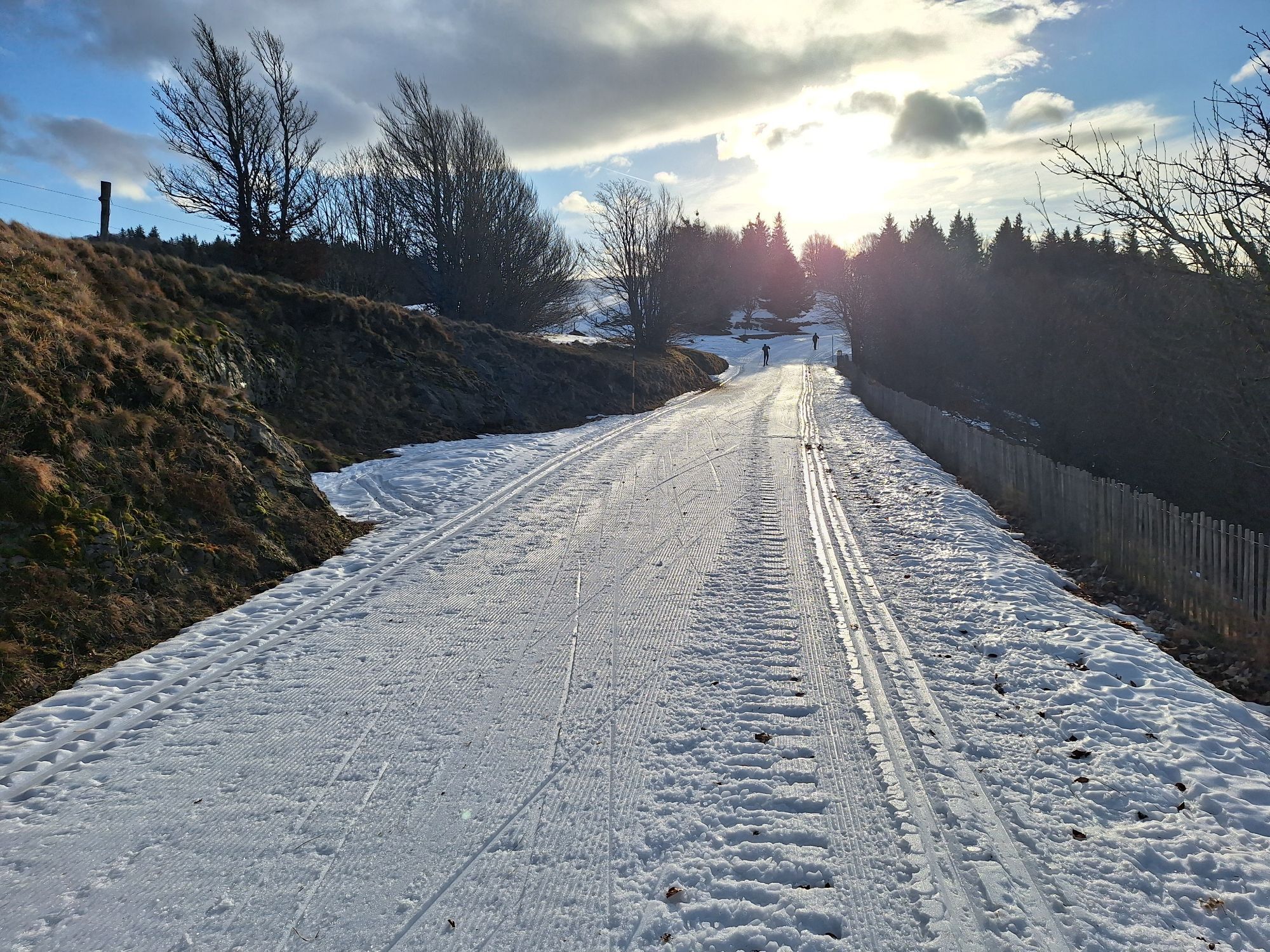
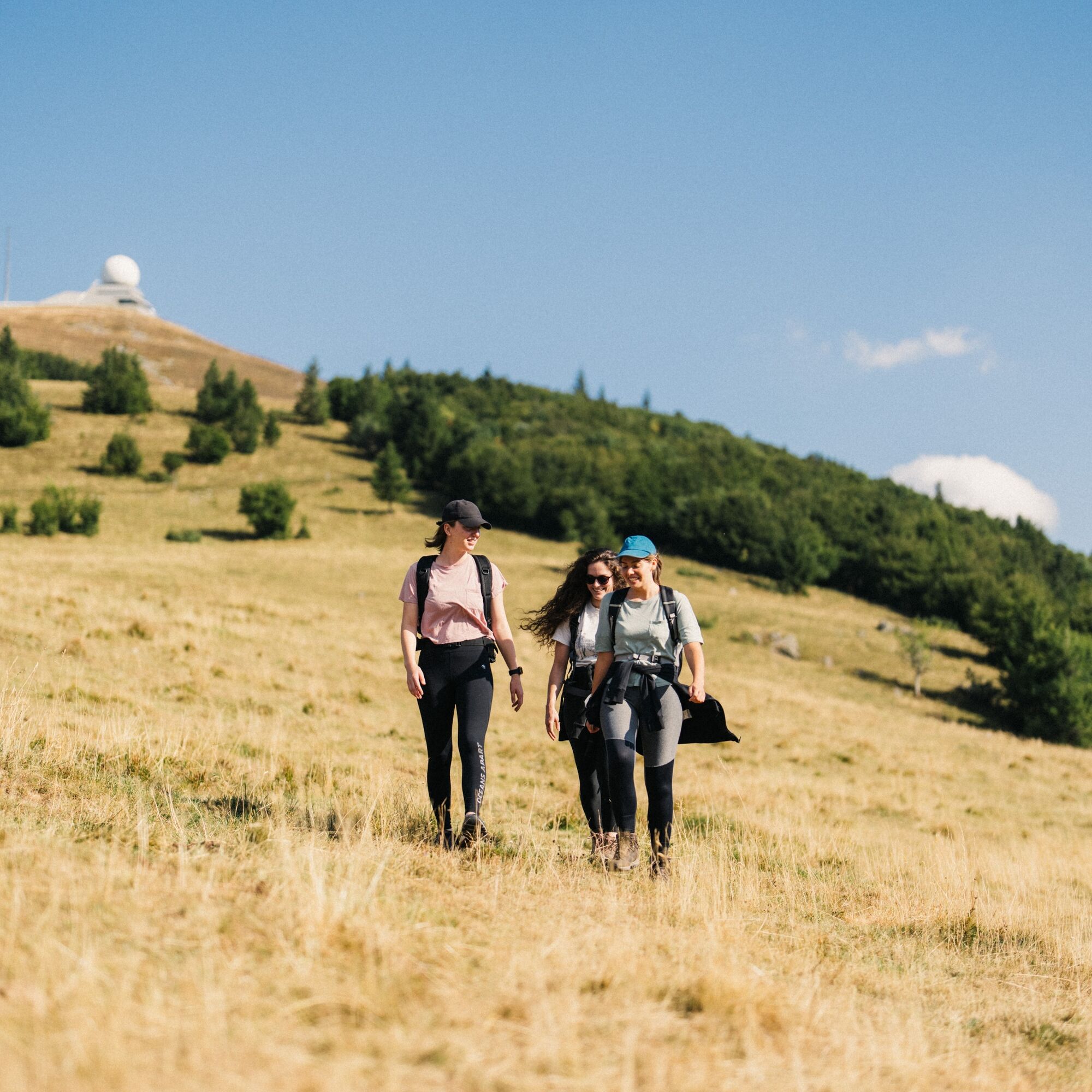
Between clearings, pastures, and summits, enjoy the warm welcome of farm inns, savor their mountain specialties, and admire varied flora depending on altitude and season. Along the way, enjoy breathtaking...
Between clearings, pastures, and summits, enjoy the warm welcome of farm inns, savor their mountain specialties, and admire varied flora depending on altitude and season. Along the way, enjoy breathtaking views of the Alsace plain, the Black Forest, and the Alps.

Day 1 Guebwiller - Markstein
Day 2 Markstein - Petit Ballon
Day 3 Petit Ballon - Guebwiller
Clothing adapted to the season and conditions (cold, hot, humid…)
Hiking shoes suitable for the terrain (even for children!)
Hiking poles (useful for stability and to relieve joints)
Mobile phone and spare battery
Before leaving:
Check the general and local weather ensuring the absence of precipitation
Get information on the approach walk, itinerary height, walking times, possible escape routes (IGN map, GPS, guidebook, etc.)
Assess possible risks by consulting mountain professionals, refuges, lodgings
Inform a close contact of your objective and contact them in case of changes: departure and return times, number of participants with each one's phone number, vehicle(s), parking
Avoid leaving alone, use equipment suited to the activity, properly adjusted and in good condition, headlamp, complete first aid kit, survival blanket, etc.
In case of problem, call 112 (European emergency number)
Guebwiller (88)
www.fluo.eu line 440 Colmar - Guebwiller
Crêtes shuttle summit line and line from Thann (stop Grand Ballon)
Free parking on site
T1
Guebwiller Tourist Office
3 rue du 4 Février
Château de la Neuenbourg
68500 Guebwiller
Phone: 03 89 76 10 63
info@tourisme-guebwiller.fr
www.tourisme-guebwiller.fr
https://www.rando-grandballon.fr/fr/
3 days of walking starting from Guebwiller to reach the highest summit of the Vosges Massif.
Possibility of departure from the Grand Ballon (access by the Crêtes shuttle):
day 1 Grand Ballon > Markstein
day 2 Markstein > Petit Ballon
day 3 Petit Ballon > Guebwiller
Získajte prehľad
Vždy naživo na mieste s viac ako 9 500 webovými kamerami. bergfex Ako používateľ Pro si teraz môžete pozrieť príslušné webové kamery pre mnohé zájazdy v aplikácii zájazdy z. Môžete si tak priamo prezerať aktuálne podmienky.
Obľúbené výlety v okolí
-
5,0
Le tétras bistrot - Hohneck - Chapelle Notre-Dame-des-Chaumes - Brasserie de la Schlucht
ťažkéTuristika 10,7 km -
Grand Ballon route in 3 days
ťažkédiaľková pešia trasa 54,2 km -
4,0
Boucle du Grand Ballon de Goldbach-Altenbach, France
strednáTuristika 14,7 km -
Tour de l'Altenweiher et Rainkopf, Mittlach, France
strednáTuristika 12,6 km -
4,8
Longemer Col des Feignes Walk
strednáTuristika 8,83 km -
5,0
From the Schlucht to the Hohneck
strednáTuristika 8,21 km -
5,0
Visit of the Hartmannswillerkopf battlefield
svetloTuristika 5,45 km -
5,0
Hiking route: The Wormsa waterfalls and Fischboedle lake
strednáTuristika 8,15 km -
5,0
The lake of Crows
strednáTuristika 5,65 km -
Schafert Farmhouse Walk "Towards a 360 degree high view"
strednáTuristika 5,49 km
Turistika a stopovanie


Nenechajte si ujsť ponuky a inšpiráciu na ďalšiu dovolenku
Vaša e-mailová adresa bol pridaný do poštového zoznamu.





