






Walking through old Wissembourg

Úroveň náročnosti: T1
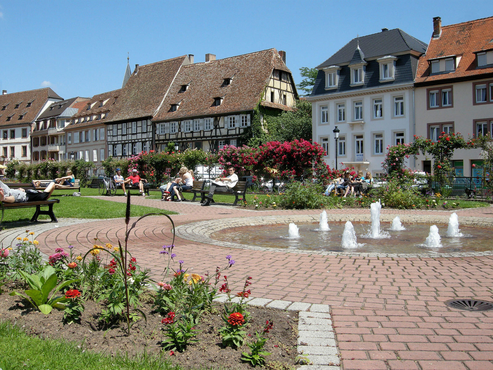
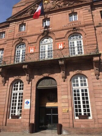
On the border with Germany, discover a town that bears witness to the Romanesque period: Gothic buildings, the Salt House and ramparts are just some of the places to discover on your walk.


https://apps.tourisme-alsace.info/photos/niederbronn/photos/219005493_d1_ETAPES_DU_CIRCUIT.pdf
Áno
Hiking shoes suited to the terrain (even for children!)
Telescopic poles (useful for stability and joint relief)
Cell phone and spare battery if necessary
Find out about general and local weather conditions, making sure there's no precipitation.
Find out about the approach to the route, its height, how long it will take to reach the summit and any possible retreats (IGN map, GPS, topo-guide, etc.).
Evaluate possible risks by asking mountain professionals, mountain huts and gîtes.
Inform someone close to you of your objective, and contact them again if there are any changes: departure and return times, number of participants with telephone numbers for each, vehicle(s), parking, etc.
Avoid setting off alone, and use equipment that is suitable for the activity, adjusted and in good condition: headlamp, complete first-aid kit, survival blanket, etc.
In case of emergency, call 112
Wissembourg (67)
www.fluo.eu
Parking fossé des tilleuls
T1
www.alsace-verte.com
Obľúbené výlety v okolí
-
4,6
Bruchweiler-Bärenbach - Jüngstberg - Drachenfelshütte - Drachenfels
strednáTuristika 13,6 km -
4,5
Northern Vosges - Circuit of the 4 castles
strednáTuristika 6,49 km -
5,0
Hexenplätzel - Löffelsberg - Buhlsteine - Heidenberg
ťažkéTuristika 25,5 km -
4,5
Palatinate Wine Trail stage 11 Bad Bergzabern - Schweigen-Rechtenbach
strednádiaľková pešia trasa 16,0 km -
3,5
Pfälzer Weinsteig Stage 10 Klingenmünster - Bad Bergzabern
strednádiaľková pešia trasa 12,9 km -
4,5
Border region route
strednáTuristika 11,4 km -
5,0
4 Burgen Tour Nothweiler
strednáTuristika 9,52 km -
Gleiszellen - Burg Landeck - Martinsturm
strednáTuristika 12,2 km -
Palatinate Forest Trail stage 07 Dahn - Erlenbach
strednádiaľková pešia trasa 17,0 km -
4,0
Palatinate Forest Trail Stage 09 Erlenbach - Schweigen-Rechtenbach
strednádiaľková pešia trasa 17,2 km
Turistika a stopovanie


Nenechajte si ujsť ponuky a inšpiráciu na ďalšiu dovolenku
Vaša e-mailová adresa bol pridaný do poštového zoznamu.





