


GR® de Pays de la Déodatie (South Loop) - Grandes Echappées Vosgiennes
This walking circuit is a true invitation to discover the highest Lorraine slopes of the Vosges. Starting from the capital of the massif, Saint-Dié-des-Vosges, the path will gradually reveal the beauty...
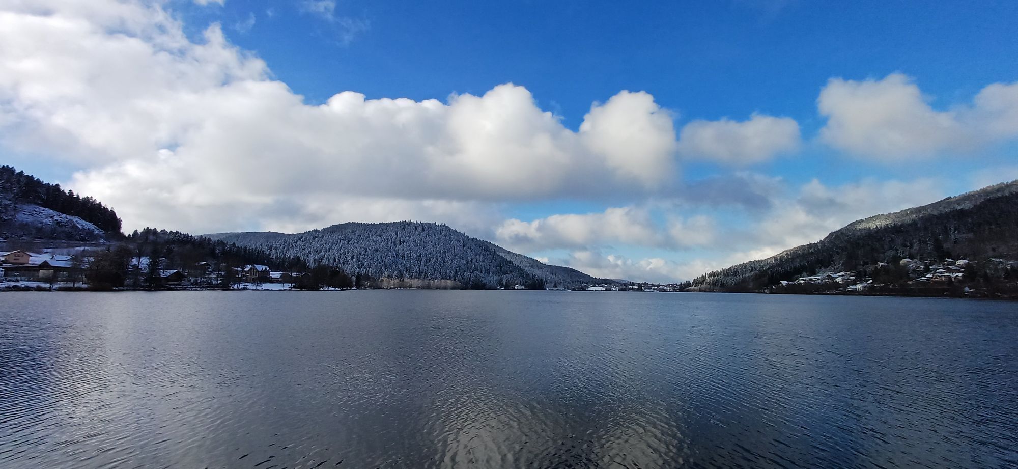
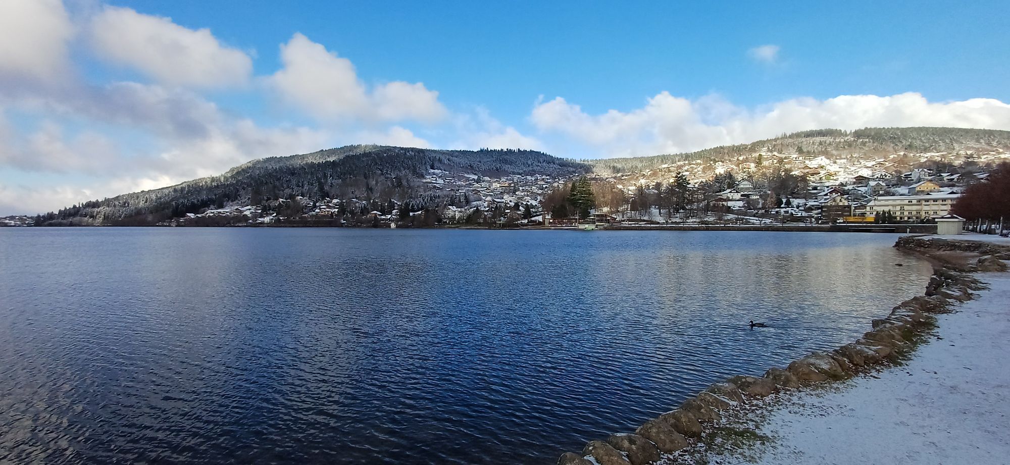
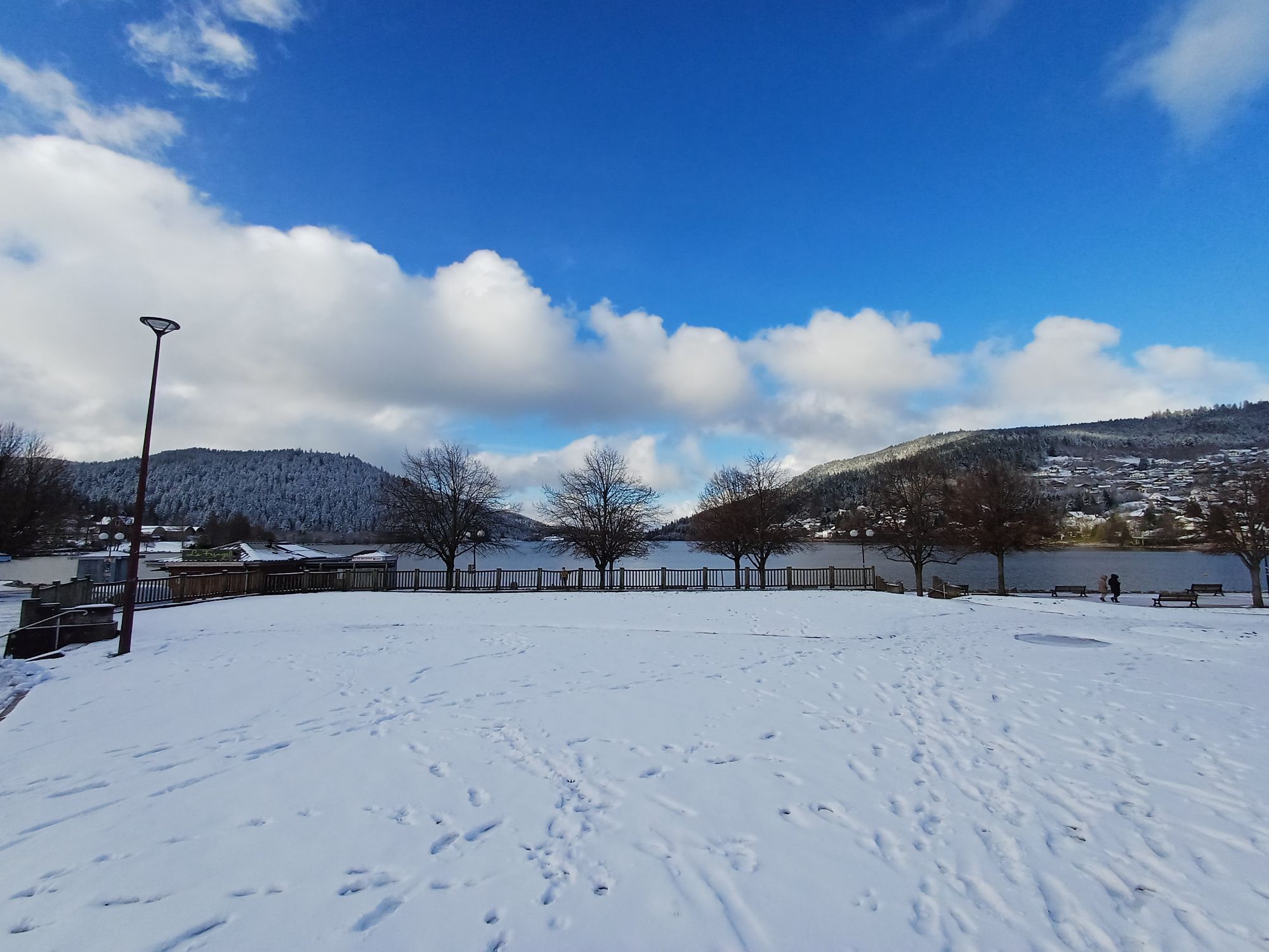
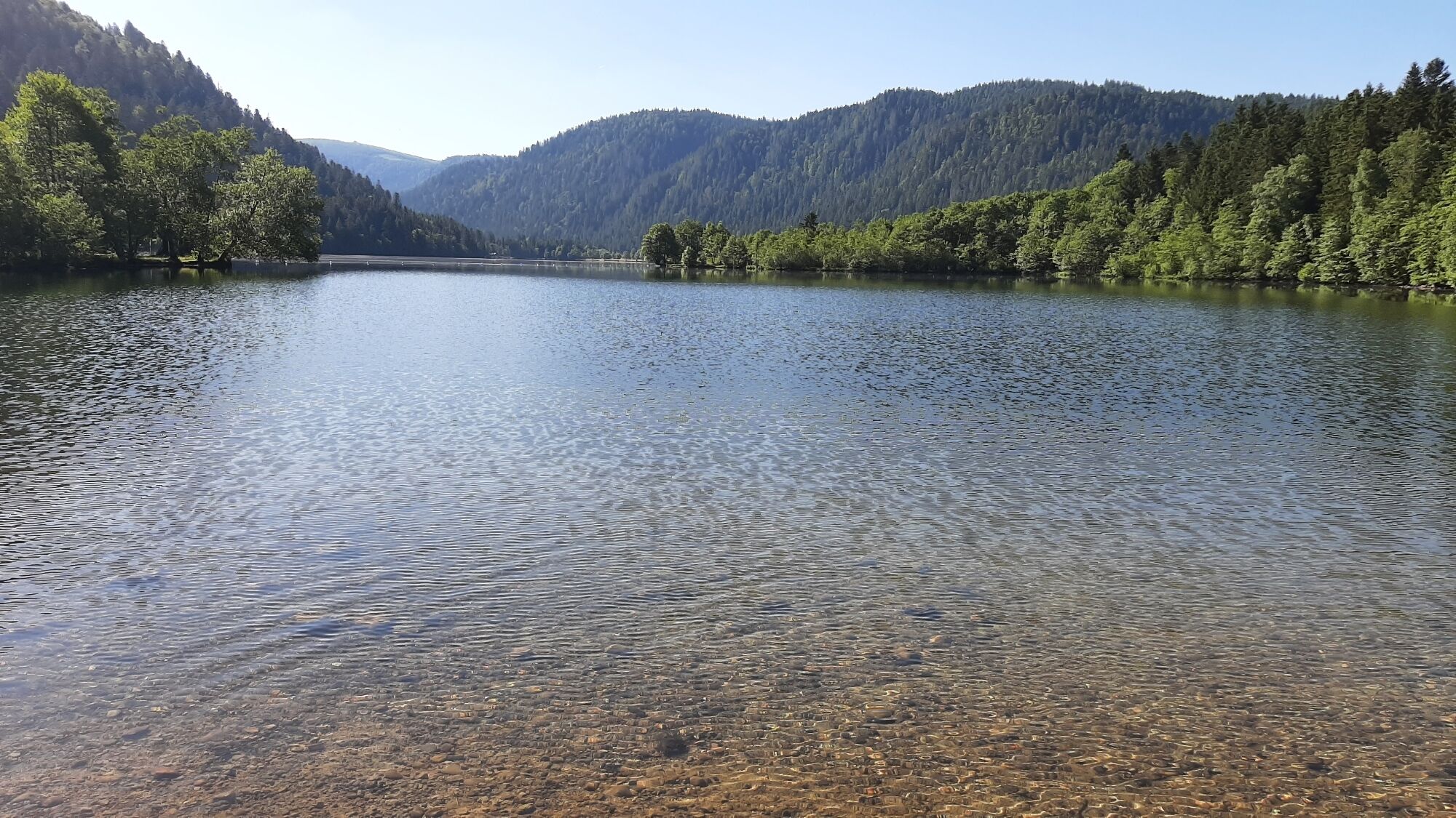
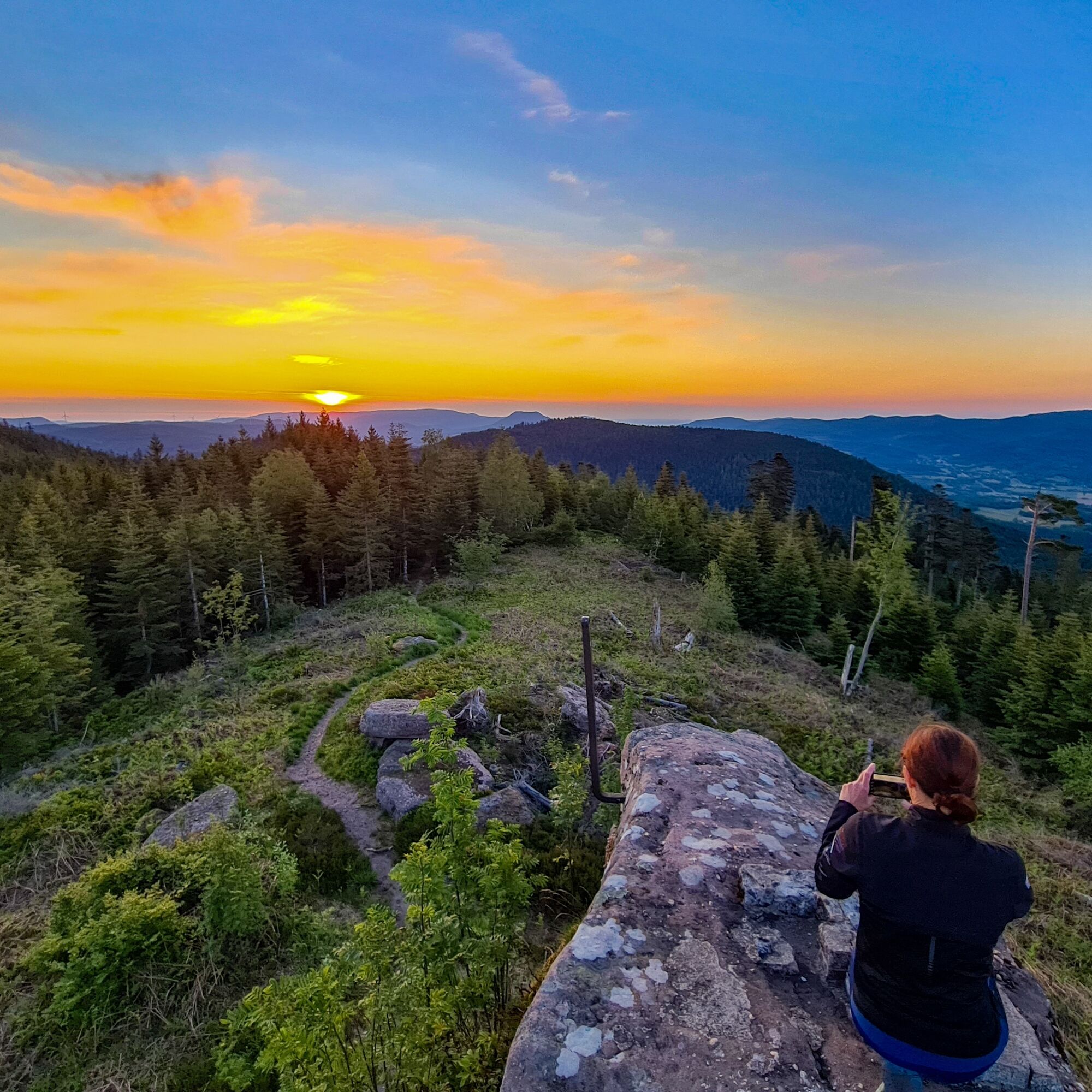
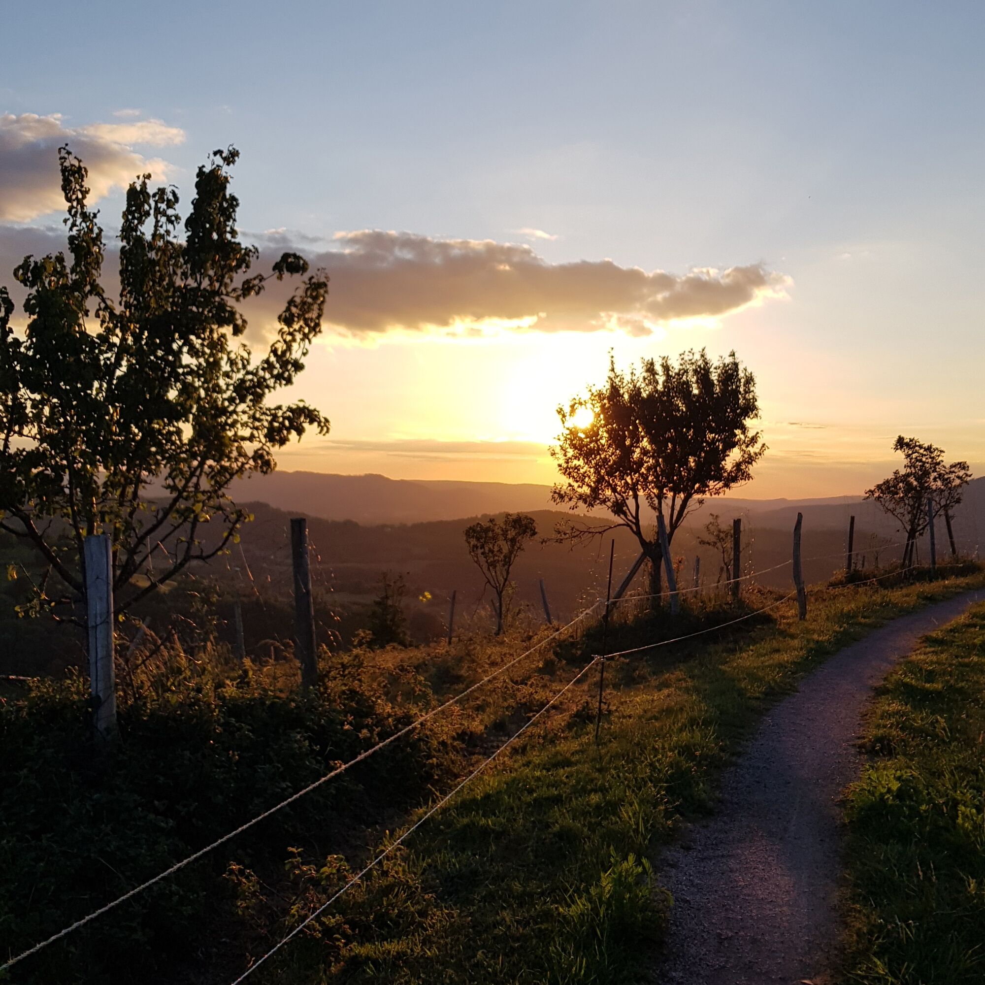
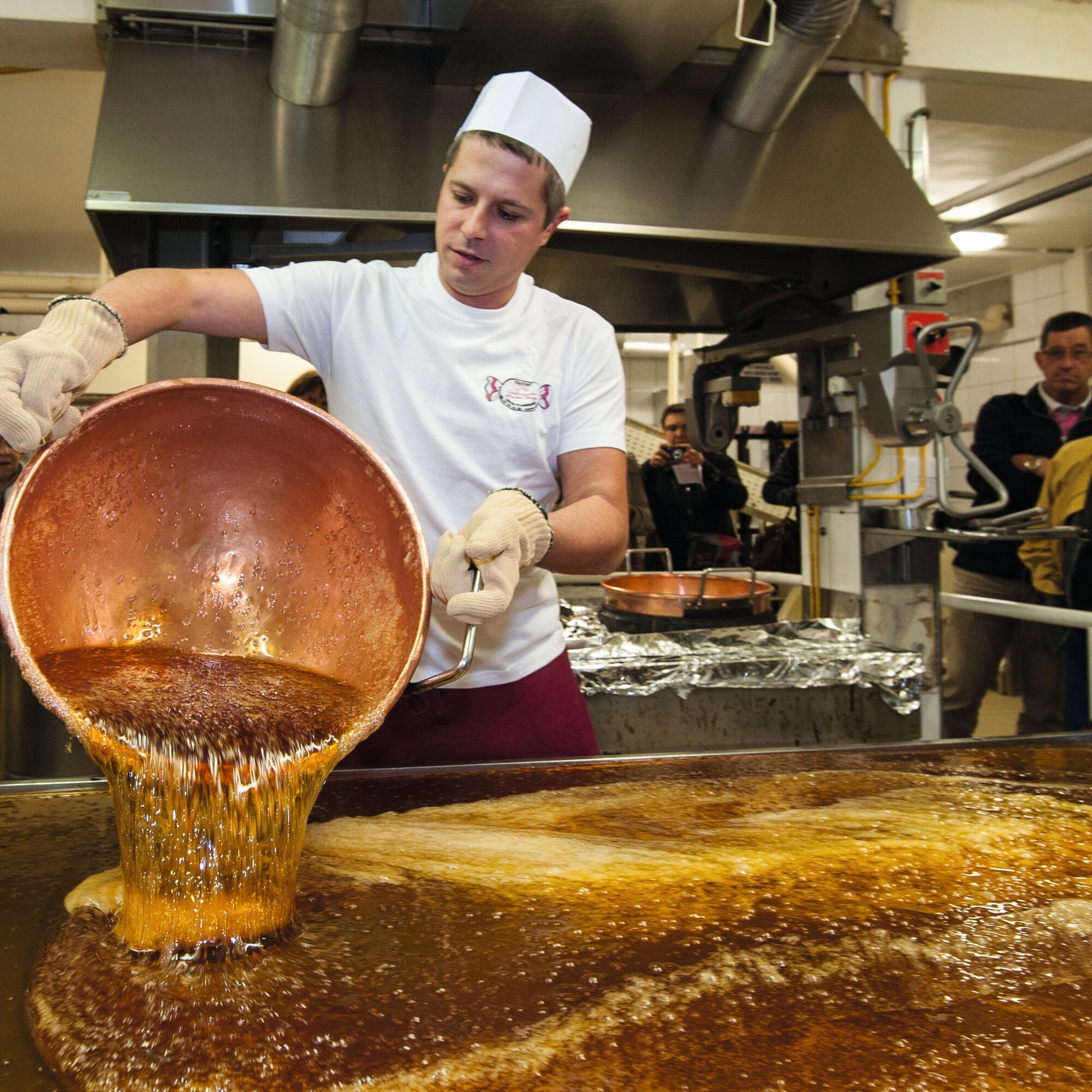
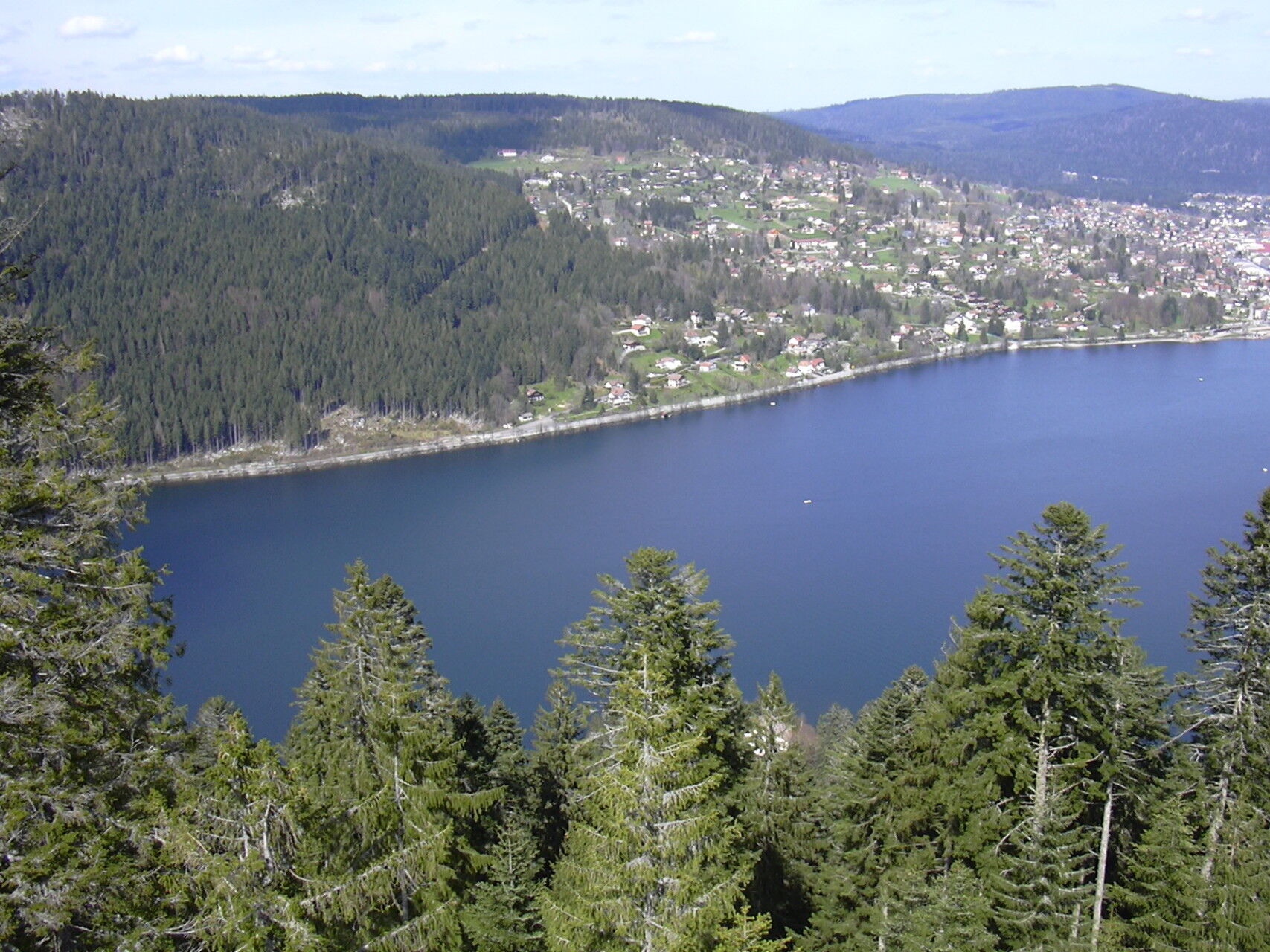
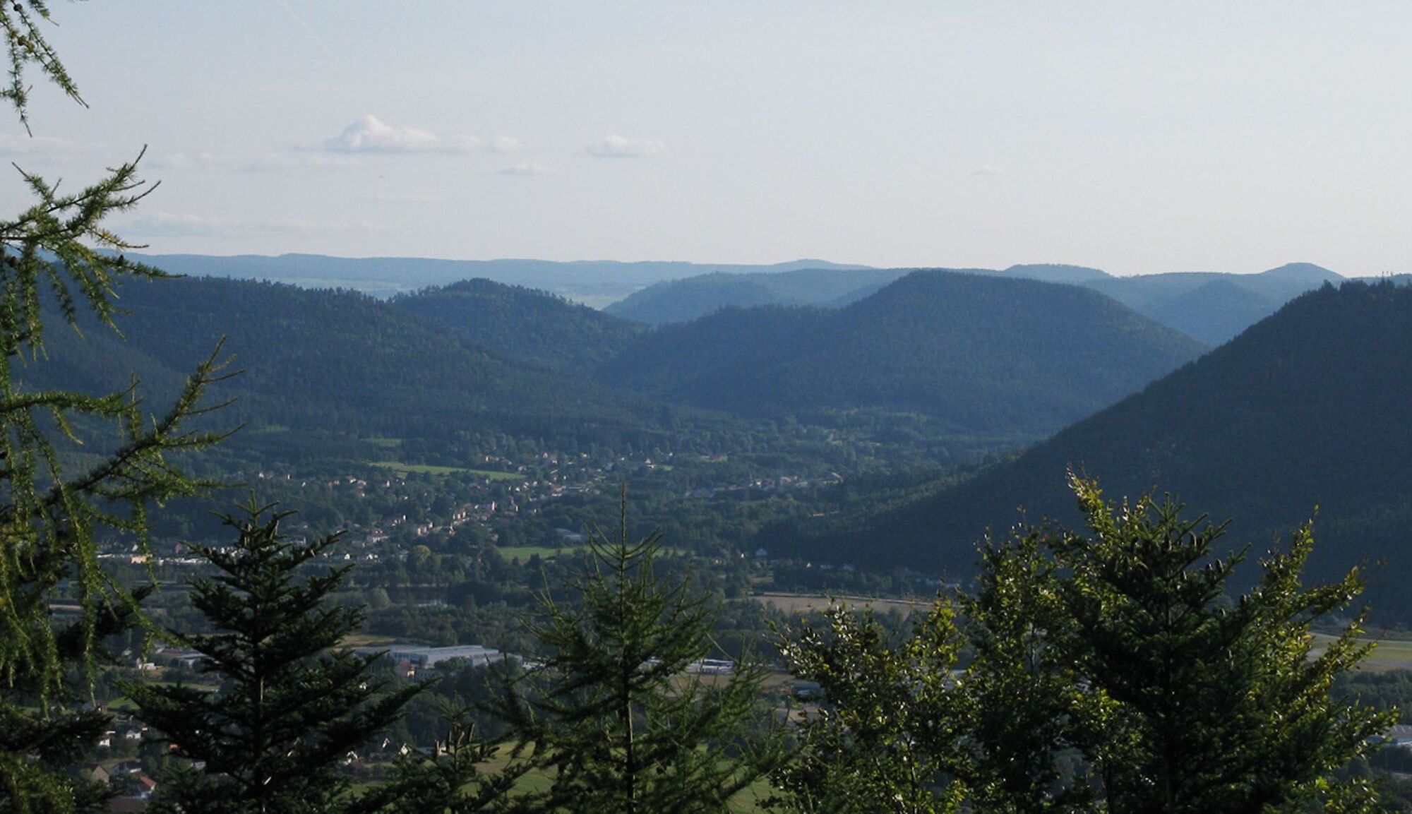
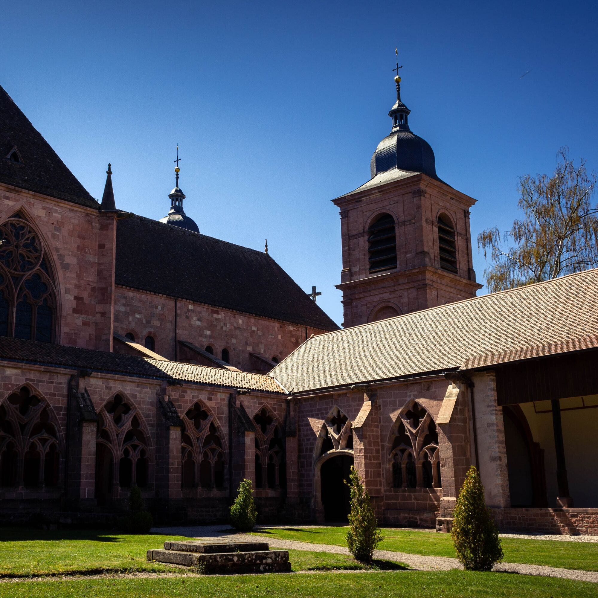
This walking circuit is a true invitation to discover the highest Lorraine slopes of the Vosges. Starting from the capital of the massif, Saint-Dié-des-Vosges, the path will gradually reveal the beauty and richness of the Vosges territory. You will be able to discover many natural curiosities such as the impressive Straiture gorge, and appreciate magnificent panoramas that will certainly amaze you. Midway, once you reach the heart of the High Vosges, the towns of Gérardmer and Xonrupt-Longemer will present themselves to you with their lake and multiple activities offered to visitors. Finally, this GR® de Pays will guide you to other unmissable and fascinating places. A visit to the Lançoire sawmill will reveal the secrets of a place bearing witness to a rich industrial and rural past, while the famous Confiserie des Hautes Vosges will satisfy your sweet tooth with the discovery of the famous Vosges candies.
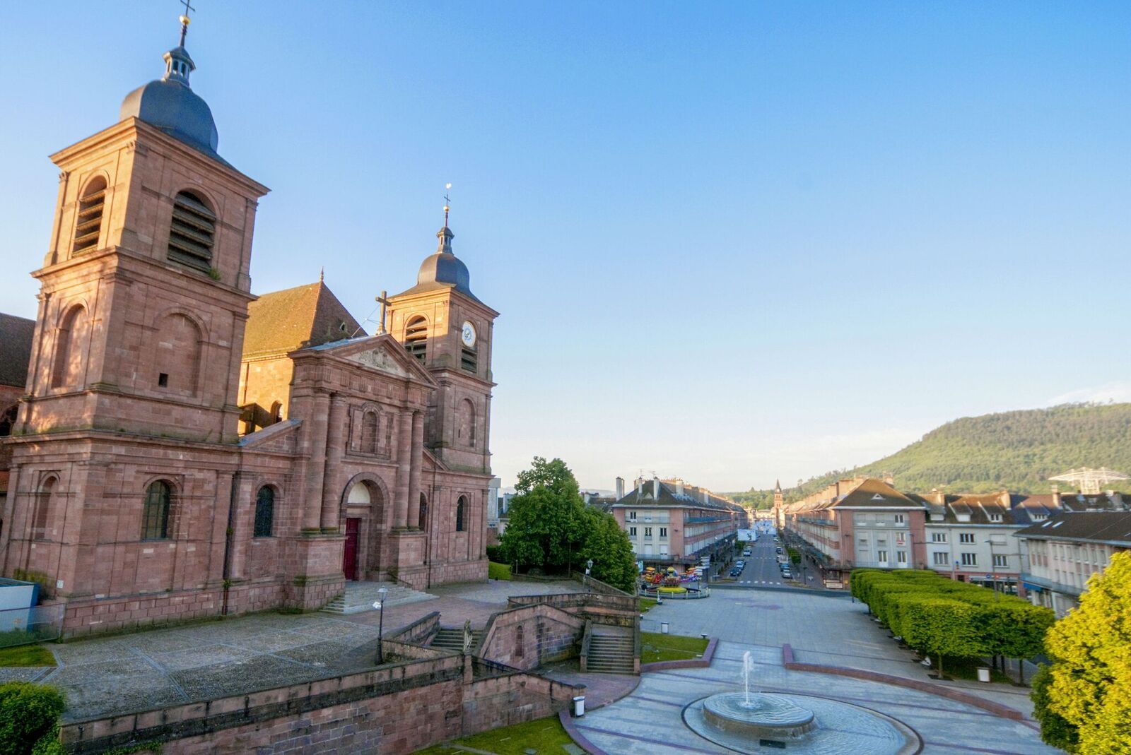
Departure Saint-Dié-des-Vosges -177 kilometers – 13 days
Áno
Áno
Clothing adapted to the season and conditions (cold, hot, humid…)
Hiking shoes suitable for the terrain (even for children!)
Hiking poles (useful for stability and to relieve joints)
Mobile phone and spare battery
Before leaving:
Check the general and local weather, ensuring no precipitation
Inform yourself about the approach walk, height of the route, travel time, possible escape (IGN map, GPS, guidebook, etc.)
Assess possible risks by asking mountain professionals, refuge, lodgings
Inform a close person of your goal and contact them in case of change: departure and return times, number of participants with each phone number, vehicle(s), parking
Avoid going alone, use equipment suitable for the activity, adjusted and in good condition, headlamp, complete first aid kit, survival blanket, etc.
In case of problem, call 112 (European emergency number)
Take the N59 to reach Saint-Dié
Saint-Dié SNCF train station
Free parking near Saint-Dié train station
"To discover the things to do and see along the route, visit the map available here: https://bit.ly/30I8Yas
https://deodatie.com/randonneurs/
Discover this mountain territory suitable for hiking, close to the major cities of Nancy, Metz, and Strasbourg, within the Ballons des Vosges Regional Natural Park.
Webové kamery z prehliadky
Obľúbené výlety v okolí
-
4,0
The Lac Blanc ridge
svetloTuristika 5 km -
Crossing the Vosges Mountains - Stage 14 - Le Bonhomme - Col de la Schlucht
strednádiaľková pešia trasa 19,4 km -
Walk Farm Inn Graine Johé "Walk between two valleys"
strednáTuristika 3,36 km -
4,0
Rund um die Kapelle St. Anne
strednáTuristika 11,4 km -
The GR de Pays of Tour de la Vologne - Grandes Echappées Vosgiennes
strednádiaľková pešia trasa 149,0 km -
Route Charmotte Farm-Inn - Facing the sandstone hills
strednáTuristika 6,74 km -
Promenade of the Roche des Fées
strednáTuristika 6,70 km -
Mountain Bike Circuit 2 - Les Bagenelles
strednáMountainbike 14,5 km -
Escape to the kingdom of water
ťažkédiaľková pešia trasa 79,2 km -
Authentic Vosges circuit
ťažkéJazda na koni 135,9 km

Turistika a stopovanie


Nenechajte si ujsť ponuky a inšpiráciu na ďalšiu dovolenku
Vaša e-mailová adresa bol pridaný do poštového zoznamu.