







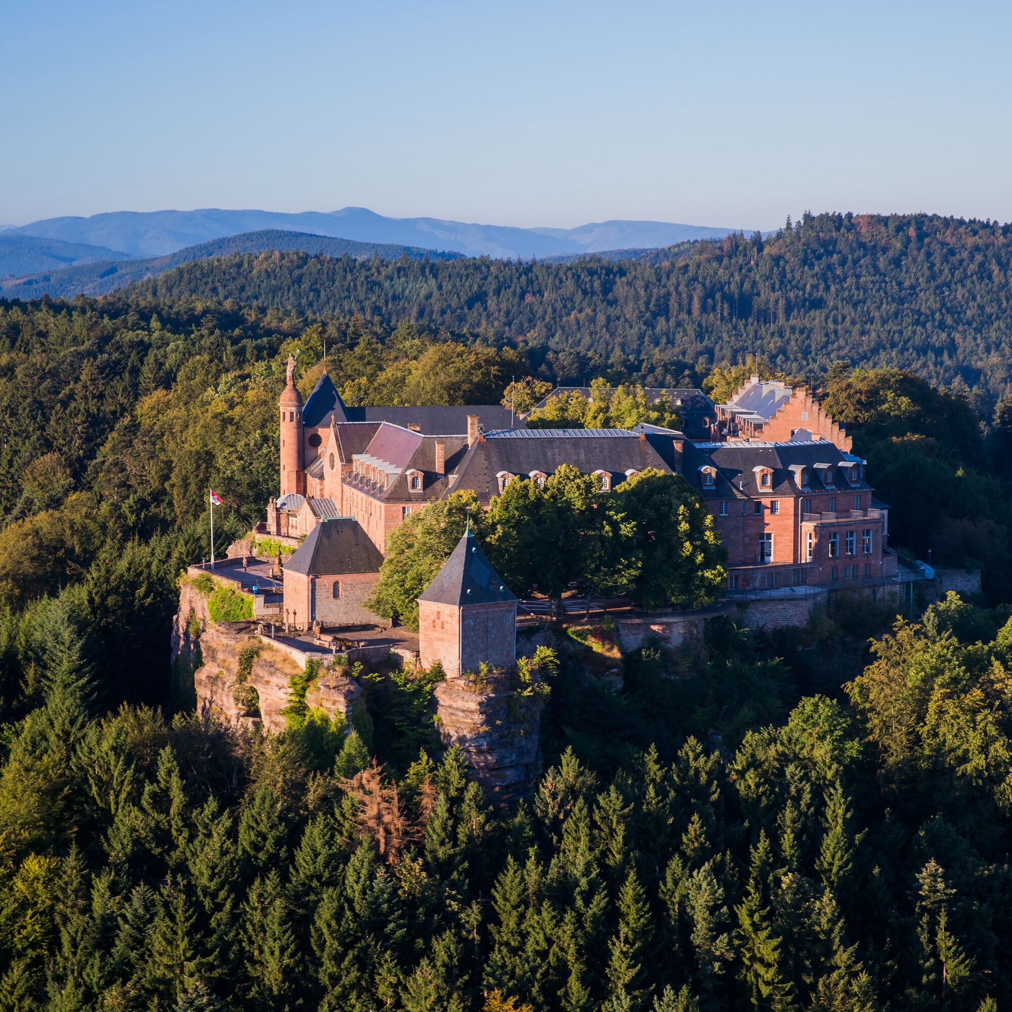
Bike loop "Mont Sainte-Odile from Obernai"

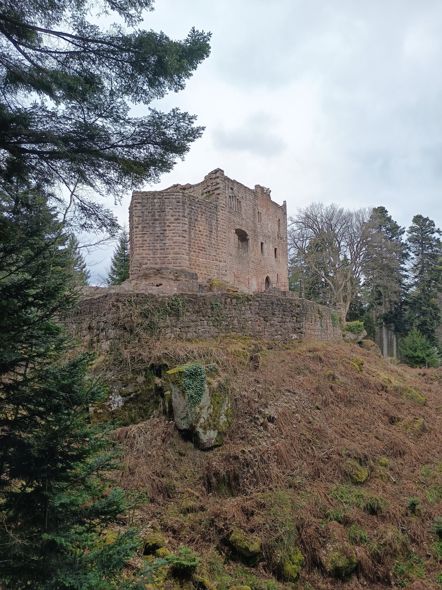
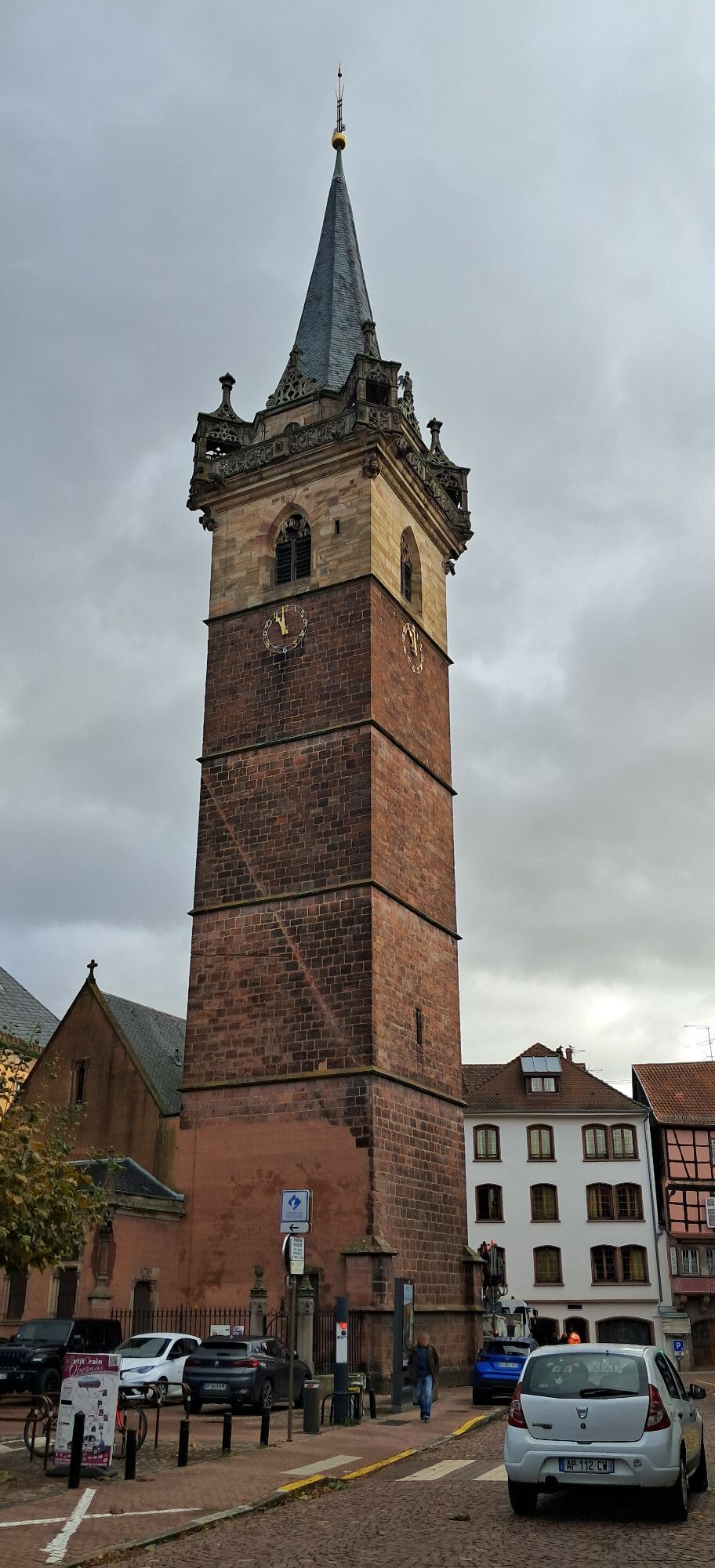
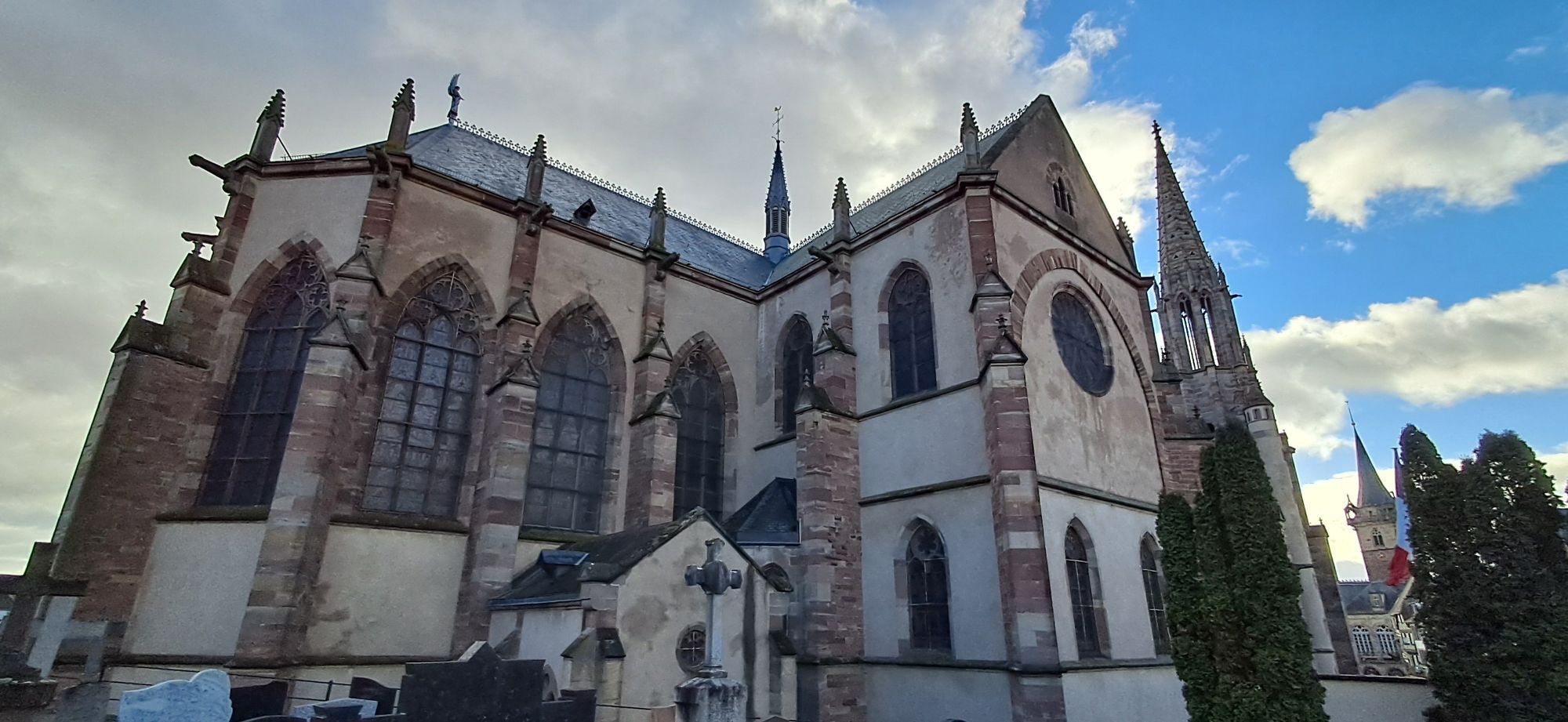
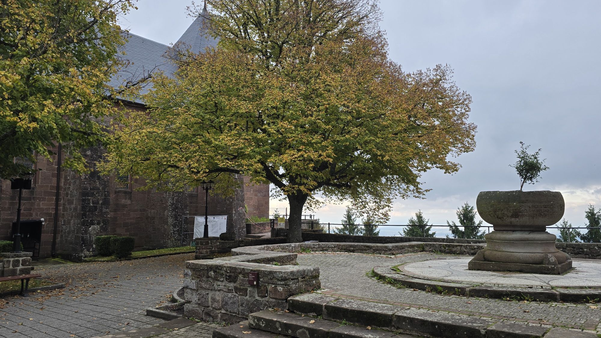
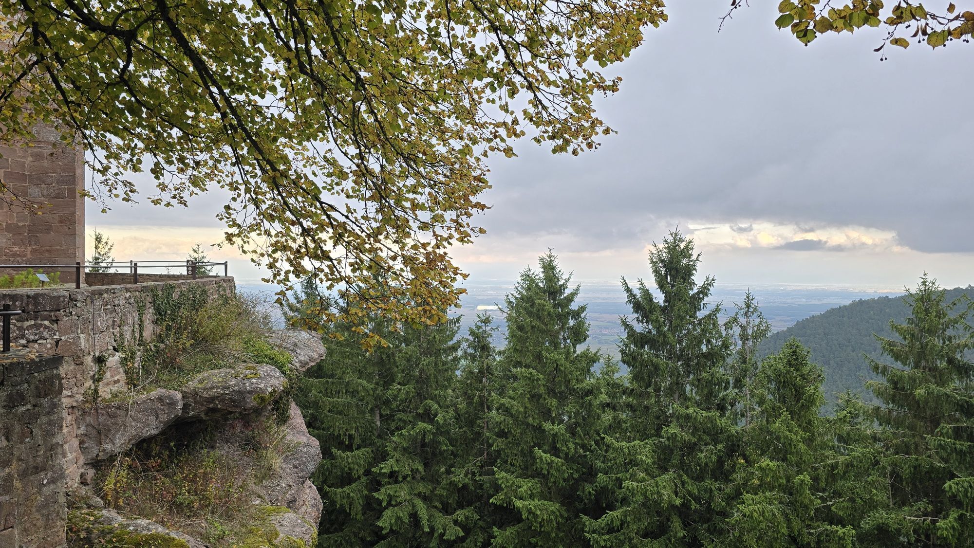
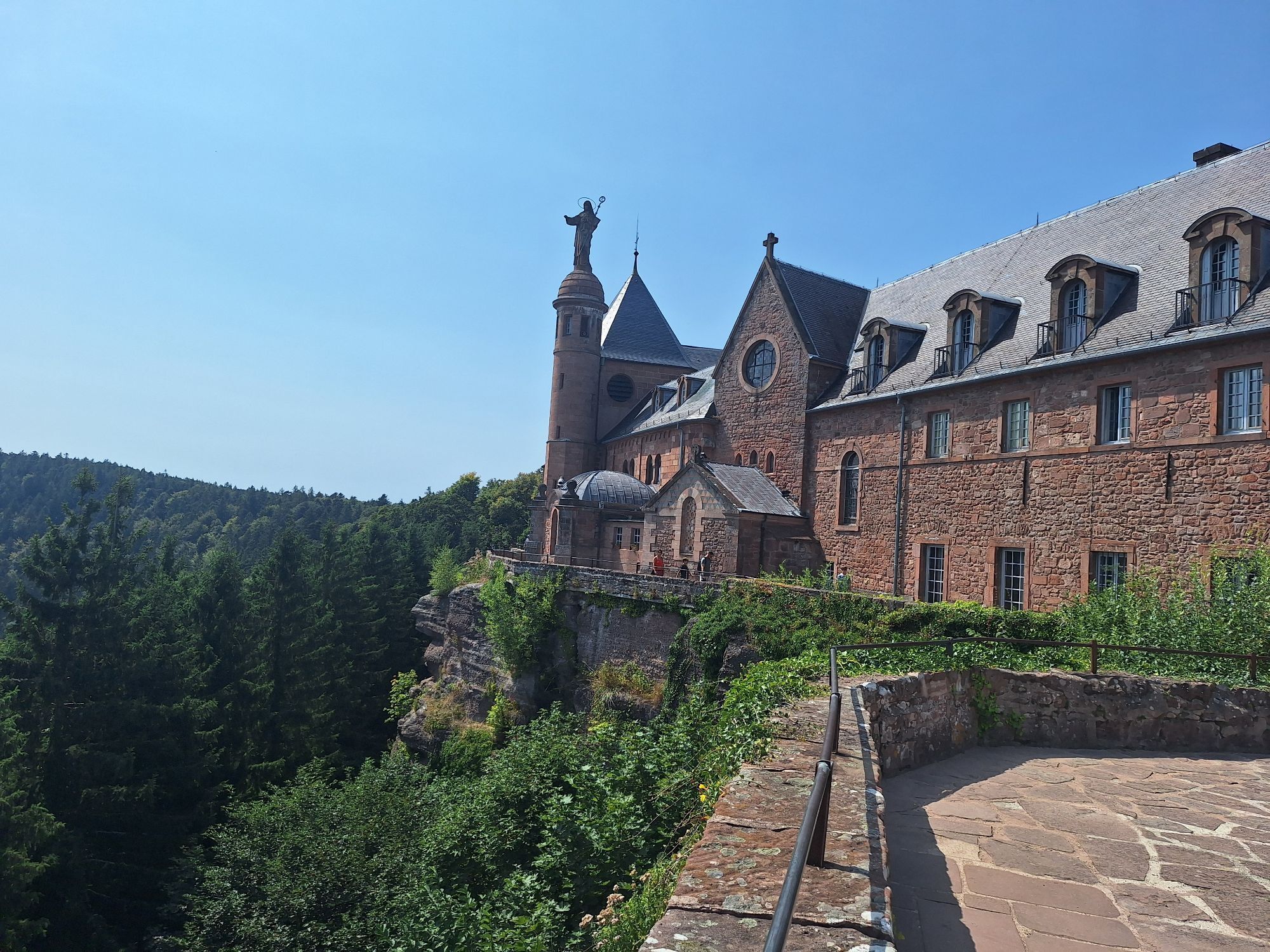
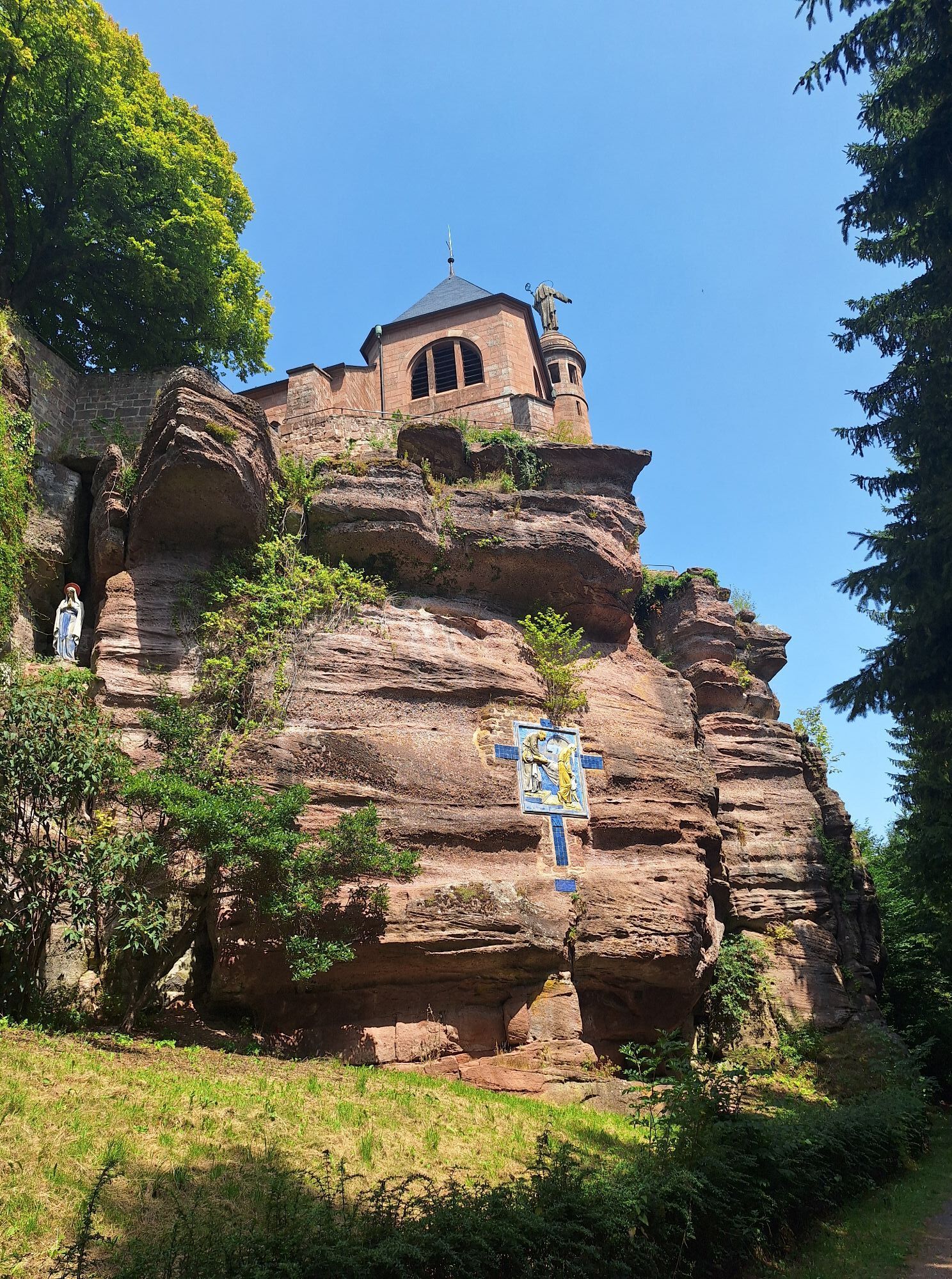
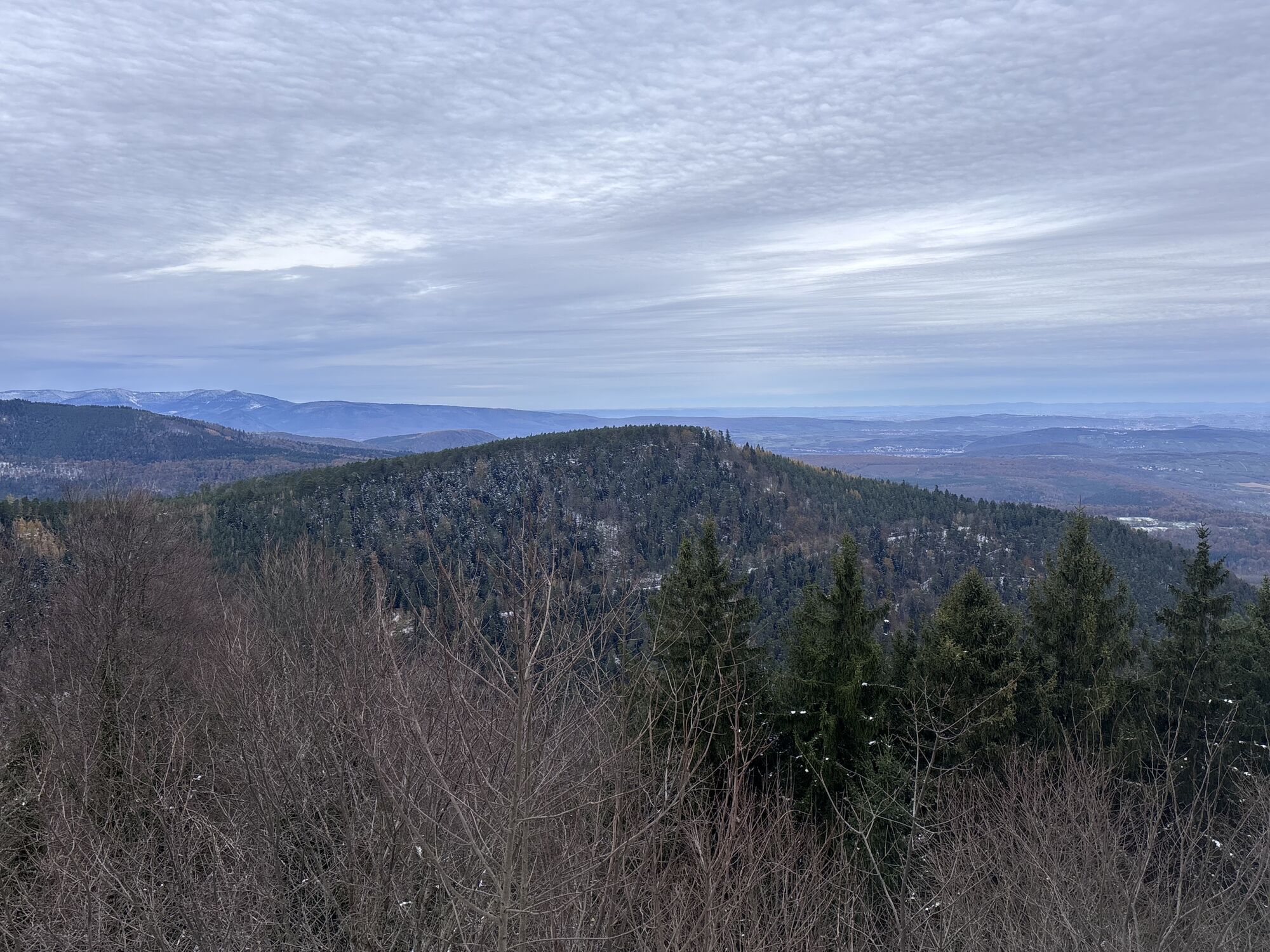
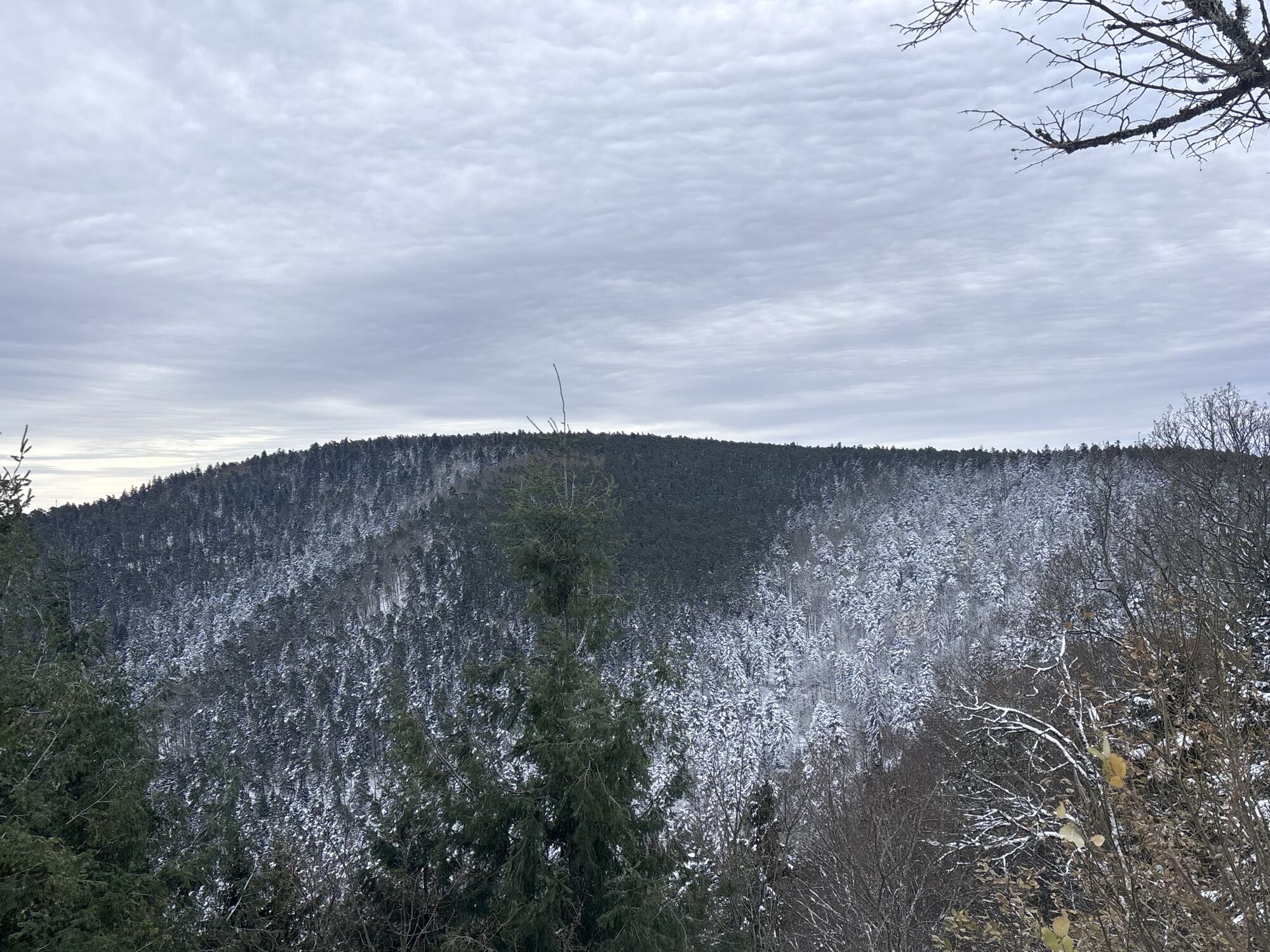
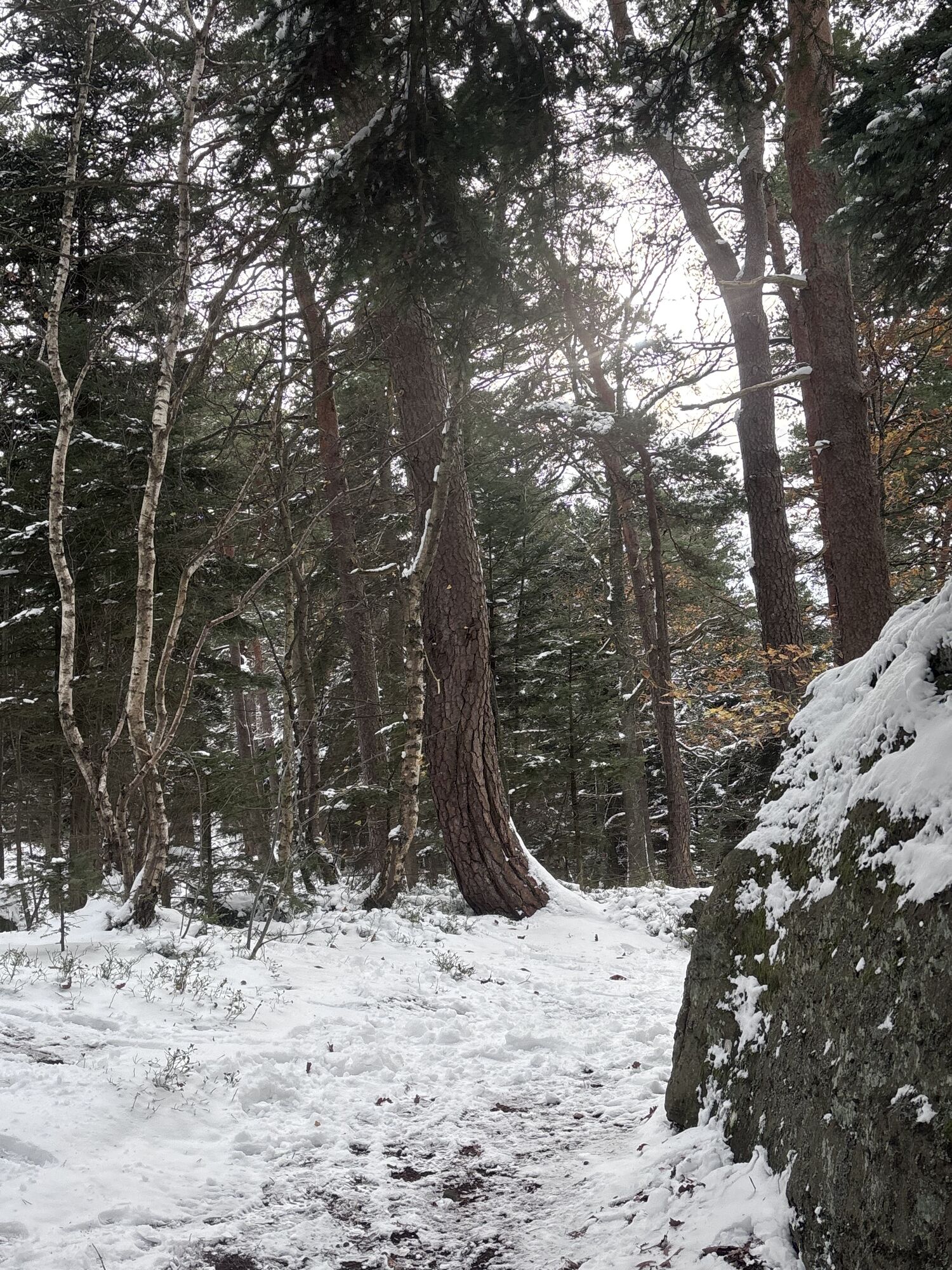
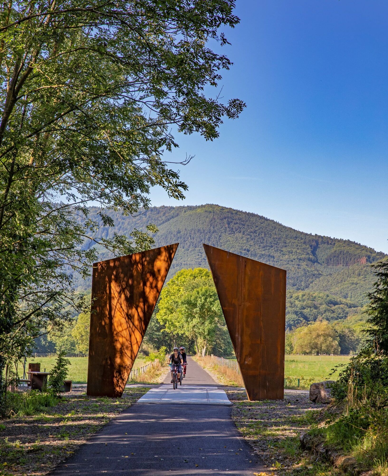
Before climbing the mountain to reach the summit, part of the route follows the very pleasant greenway "Portes Bonheur, the quarry path".
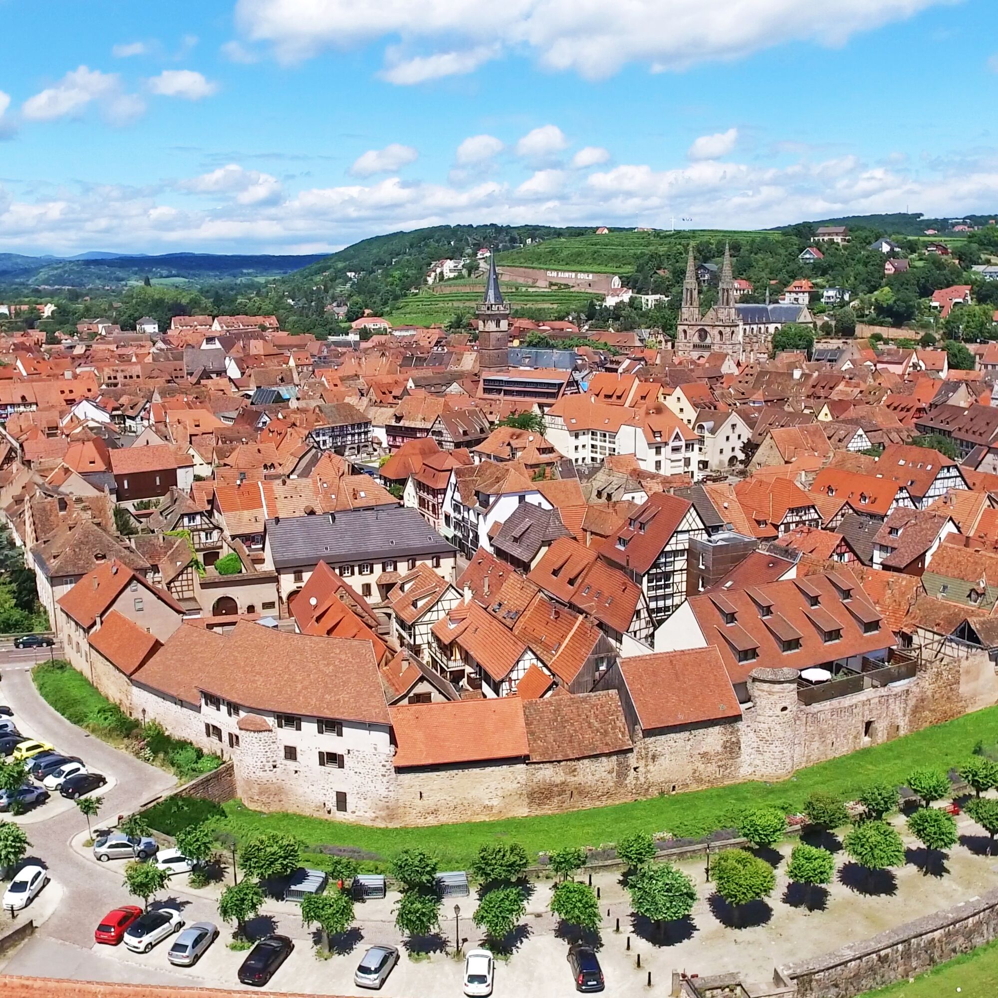

Starting from the Obernai Tourist Office, go up rue du chanoine Gyss towards the Sts-Pierre-et-Paul church, then turn left onto route de Boersch.
Follow the signs to reach the greenway "Portes Bonheur, the quarry path"
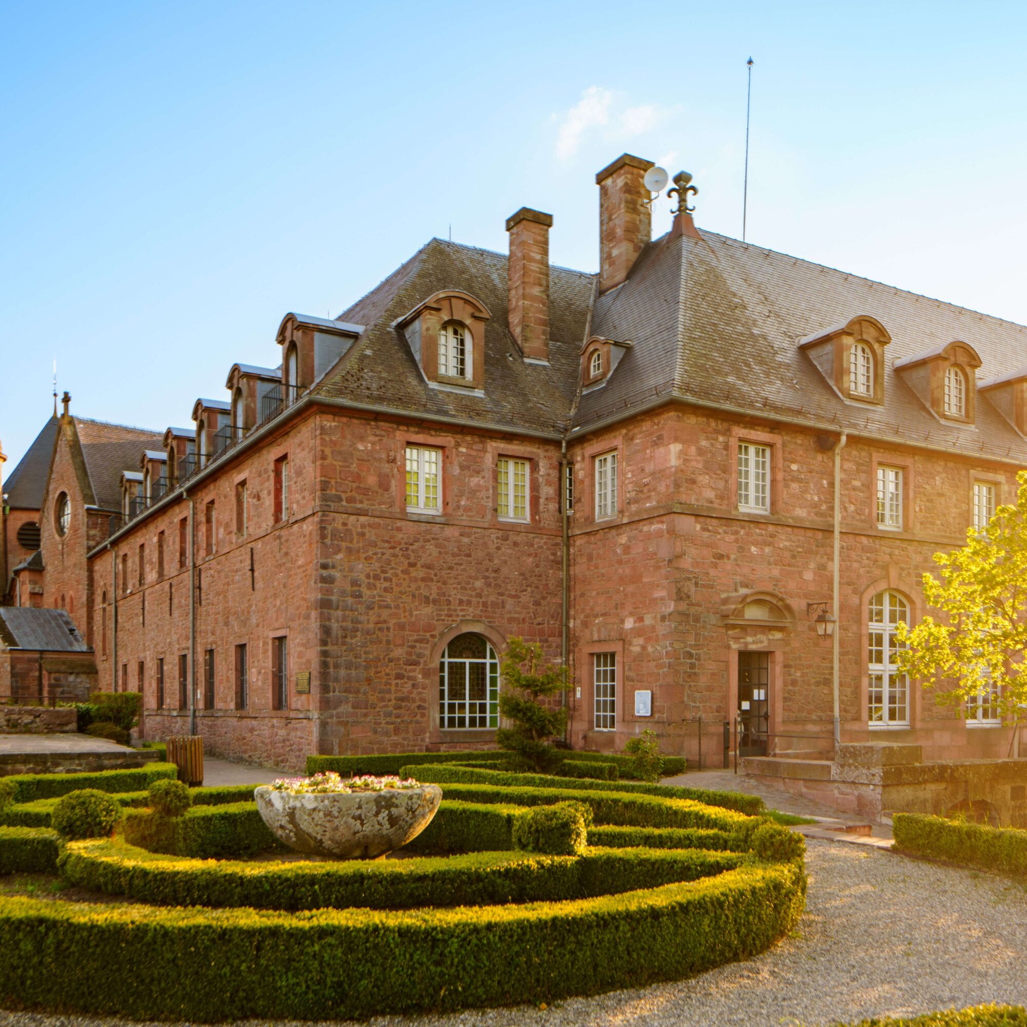
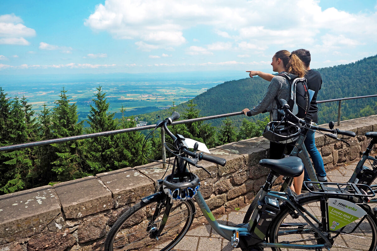
Upon arrival at Ottrott via the greenway, turn right onto the D426 towards Klingenthal. Stay on the D426 up to Mont Sainte-Odile.
For the return to Obernai:
From the Sanctuary, turn right towards the spring and the village of Saint-Nabor via the D33. Pass in front of the Sainte-Odile spring, then by the Saint-Jacques holiday center. Continue descending (D109) to Saint-Nabor. In the village, follow the Ottrott road (D103), then rue des Carrières up to the start of the greenway.
Take the greenway up to Otrott then turn right following the signs towards Bernardswiller.
Upon arrival at Bernardswiller, cross the village, then follow the direction to Obernai.
Upon arrival at Obernai, take the Bernardswiller road, then turn right onto the Ottrott road towards the city center.
Áno
Before you leave:
- Make sure your bike is in perfect mechanical condition, including tires and brakes
- Ensure the bike is properly adjusted to your body shape
- Wearing a helmet is highly recommended
- Bring a repair kit
- Remember that the Highway Code applies to cyclists at all times
- Never ride more than two abreast and keep single file when traffic conditions require it
- Respect other road users as you would like them to respect you
- Choose a route suitable for your physical abilities
- Inform those around you of your itinerary
- Check the weather conditions
- A first aid kit is not essential but can be very useful
- Find out and keep the emergency phone numbers
- Respect the environment by not throwing your food wrappers on the roadside
- If you need to return at dusk, make sure you can see and be seen
Wearing a helmet is not mandatory in France, but strongly recommended for your safety.
The proposed routes have been designed to be as safe as possible. It is up to cyclists to respect road signs and the Highway Code.
For departure from Obernai: take exit 11 (from Strasbourg) or exit 12 (from Colmar) on the A35 motorway.
The route is accessible by train:
- Rosheim station (2 km from the route)
- Obernai station (600 m)
Obernai: Free Remparts parking lot, rue de l'Abbé Oesterlé.
Obľúbené výlety v okolí
-
Crossing the Vosges Massif on foot - Wissembourg / Belfort - GR53 - GR5
ťažkédiaľková pešia trasa 432,2 km -
Way of Saint James of Compostela in Alsace
strednáPútnická trasa 274,4 km -
5,0
"Grands Crus" Bike Route
strednáCyklistika 29,7 km -
5,0
S. Odile - Rundweg
svetloTuristika 10,6 km -
Bike route: EuroVelo5 Via Romea. Saarbrücken – Strasbourg – Basel
strednáDiaľková cyklotrasa 388,7 km -
5,0
A corner of freshness... at the Hohwald waterfall
svetloTuristika 5,75 km -
5,0
Hiking circuit C10: The Serva waterfall
strednáTuristika 8,52 km -
5,0
Bike route “Cabbages and Vines”
svetloCyklistika 28,1 km -
Traversée du Massif des Vosges - Stage 11 - Barr - Châtenois
ťažkédiaľková pešia trasa 30,7 km -
Bike Route "Parks and Gardens"
strednáCyklistika 40,8 km

Turistika a stopovanie


Nenechajte si ujsť ponuky a inšpiráciu na ďalšiu dovolenku
Vaša e-mailová adresa bol pridaný do poštového zoznamu.





