Navigácia na stránke
Získajte túto prehliadku v mobilnom telefóne
Mapa
Bike Route: From Villé to Elzach (DE)

ťažké
Cyklistika
87,08 km
Naskenujte kód QR a spustite navigáciu v aplikácii bergfex
QR Code
Turistika a stopovanie

Bike Route: From Villé to Elzach (DE)

Vzdialenosť
87,1 km
Trvanie
06:30 h
Ascent
271 hm
Hladina mora
166 - 370 m

Úroveň náročnosti: 5

Stiahnutie skladby
Mapa
Bike Route: From Villé to Elzach (DE)
ťažké
Cyklistika
87,08 km

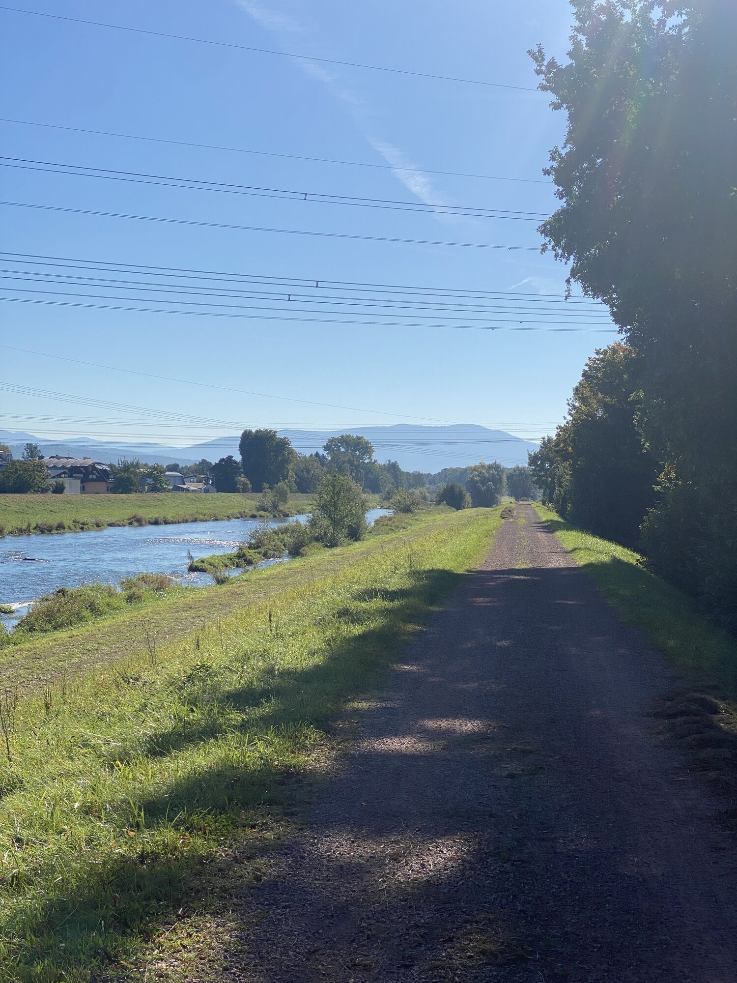
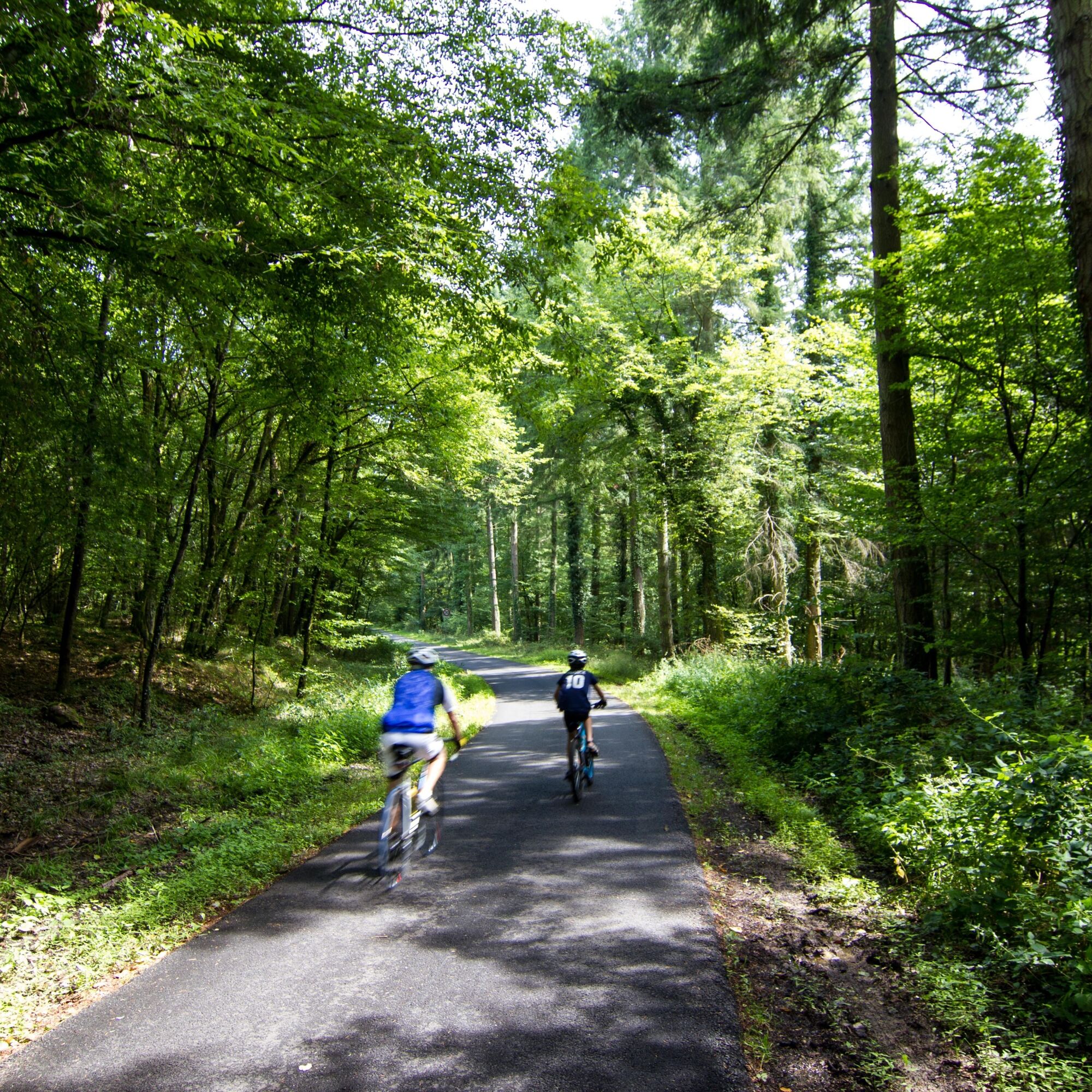
From Villé, the kirsch capital, to Marckolsheim, the journey follows the old Salt Road which went from Lorraine to Germany. The valley gradually widens and the wooded slopes progressively give way to orchards....

Opis

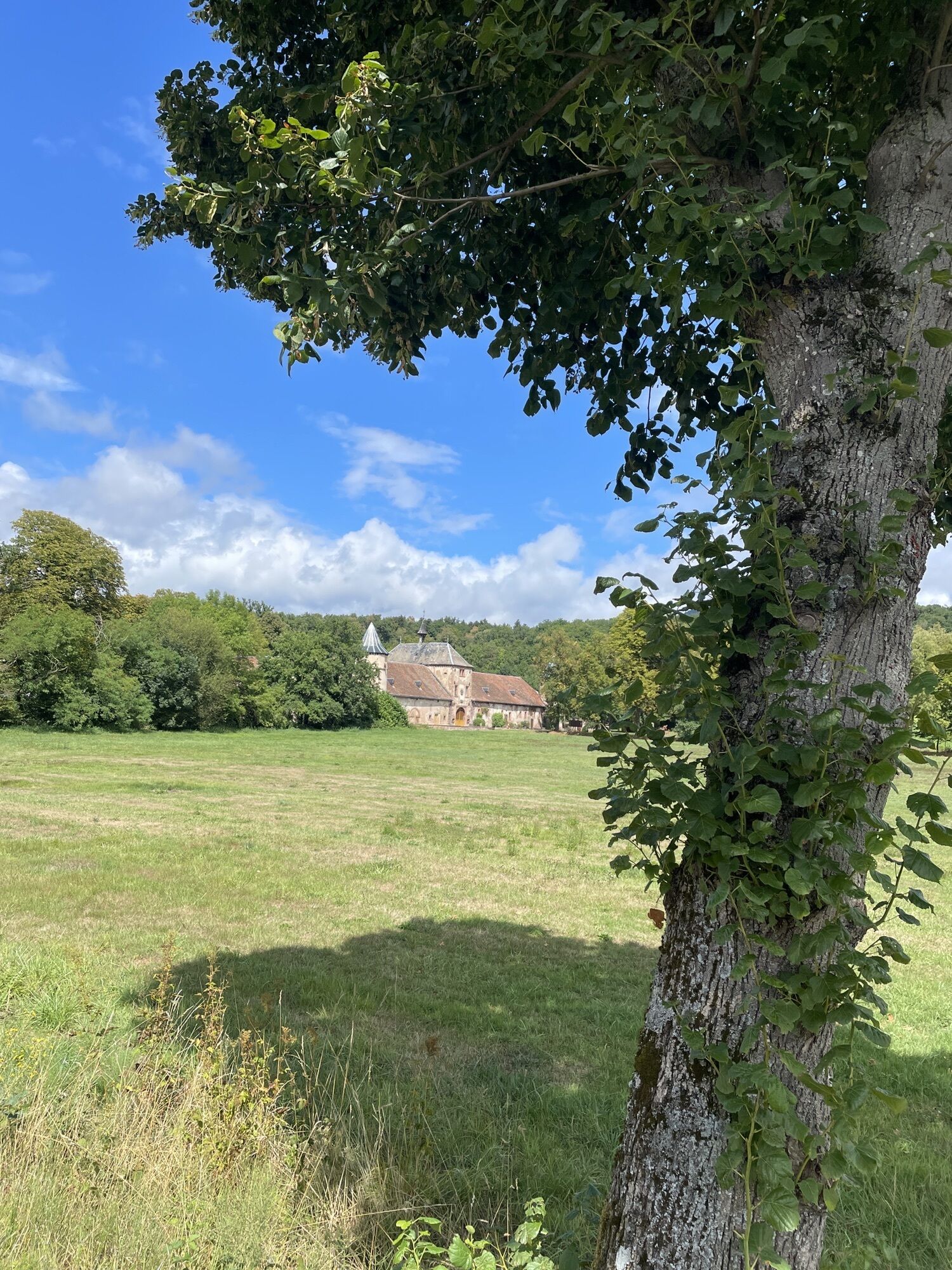
From Villé, the kirsch capital, to Marckolsheim, the journey follows the old Salt Road which went from Lorraine to Germany. The valley gradually widens and the wooded slopes progressively give way to orchards. Leaving the Val de Villé, marked by a mosaic of castles, you open onto the Alsace vineyard and the quaint wine village of Scherwiller.

You follow this terroir for a few kilometers on the Wine Route Cycle Path – EuroVelo 5 before turning at Kintzheim towards the medieval town of Sélestat. At the junction of the two Rhine departments, on the Strasbourg-Colmar-Mulhouse-Basel railway line, Sélestat houses remarkable sites: the Humanist Library (UNESCO), the Sainte-Foy Church, the Saint John Commandery, as well as the Witches' Tower and the Ebersmunster residence.

The last section of this route leads to Marckolsheim where you will discover the Maginot Line memorial. It crosses the Ried and its bocage landscapes then continues towards Elzach in Germany. It skirts the Kaisersthal volcanic massif to reach the town of Emmendingen and finally follows the Elz river up to Elzach.
Trasa
Église Saint-Christophe
(255 m)
Miesto uctievania
1,6 km
Chapelle Saint-Wendelin
(184 m)
Miesto uctievania
16,0 km
Chapelle de la Vierge, de Saint-Ignace et de Saint-François-Xavier
(172 m)
Miesto uctievania
25,1 km
Endingen am Kaiserstuhl
(198 m)
Mesto
48,4 km
Emmendingen
(201 m)
Mesto
61,5 km
St. Georg
(301 m)
Miesto uctievania
78,6 km
Franziskuskapelle am Silberwald
(316 m)
Miesto uctievania
79,6 km
Trasa
Mapa
Bike Route: From Villé to Elzach (DE)
ťažké
Cyklistika
87,08 km
Villé
(262 m)
Dedina
0,0 km
Village
(262 m)
Koridor/terén
0,4 km
Im Feld
(269 m)
Koridor/terén
0,8 km
Triembach-au-Val
(255 m)
Dedina
1,4 km
Église Saint-Christophe
(255 m)
Miesto uctievania
1,6 km
Muehlbuckel
(251 m)
Koridor/terén
2,8 km
Muehlmatten
(240 m)
Koridor/terén
3,1 km
Saint-Maurice
(250 m)
Dedina
3,1 km
Herrenmatten
(236 m)
Koridor/terén
3,7 km
Thanvillé
(231 m)
Dedina
4,3 km
Le Relais du Château
(232 m)
Reštaurácia
4,6 km
Niederfeld
(229 m)
Koridor/terén
4,7 km
Brischbach
(230 m)
Zúčtovanie
7,2 km
Auberge de la Hühnelmühle
(201 m)
Reštaurácia
9,6 km
Châtenois
(190 m)
Dedina
11,9 km
Kintzheim
(205 m)
Dedina
15,1 km
Chapelle Saint-Wendelin
(184 m)
Miesto uctievania
16,0 km
Au Parc des Cigognes
(180 m)
Reštaurácia
16,5 km
Ville
(177 m)
Koridor/terén
17,3 km
Quartier Gare
(177 m)
Susedstvo
18,6 km
Sélestat
(175 m)
Mesto
19,4 km
Bei der Kapellenmuehle
(171 m)
Koridor/terén
22,5 km
Oberes Ried
(171 m)
Koridor/terén
23,7 km
Chapelle de la Vierge, de Saint-Ignace et de Saint-François-Xavier
(172 m)
Miesto uctievania
25,1 km
Schnellenbuhl
(172 m)
Zúčtovanie
25,1 km
Auberge de l'Illwald
(172 m)
Reštaurácia
25,2 km
Wechselmatt
(171 m)
Koridor/terén
25,3 km
Heidolsheim
(173 m)
Dedina
27,6 km
Markolsheimer Strasse
(173 m)
Koridor/terén
28,1 km
Côté Écluse
(179 m)
Reštaurácia
30,7 km
Krautfeld
(176 m)
Koridor/terén
32,1 km
Ecluse de Markolsheim
(189 m)
Uhol pohľadu
36,1 km
Sasbach am Kaiserstuhl
(181 m)
Dedina
39,5 km
Königschaffhausen
(194 m)
Dedina
43,0 km
Königschaffhausen
(188 m)
Železničná stanica
43,3 km
Endingen am Kaiserstuhl
(198 m)
Mesto
48,4 km
Breite
(182 m)
Zúčtovanie
51,9 km
Riegel am Kaiserstuhl
(186 m)
Dedina
52,8 km
Teningen
(191 m)
Dedina
58,2 km
Quartier Dreikönig
(201 m)
Susedstvo
61,1 km
Emmendingen
(201 m)
Železničná stanica
61,3 km
Emmendingen
(201 m)
Mesto
61,5 km
Kollmarsreute
(219 m)
Dedina
64,8 km
Quellfassung
(225 m)
Zdroj
66,2 km
Lörch
(232 m)
Susedstvo
66,9 km
Moos
(231 m)
Susedstvo
67,6 km
Buchholz
(241 m)
Dedina
69,2 km
Waldspielplatz
(273 m)
Detské ihrisko
70,2 km
Batzenhäusle
(250 m)
Susedstvo
70,6 km
Waldkirch
(266 m)
Železničná stanica
72,8 km
Waldkirch
(274 m)
Mesto
72,9 km
Kollnau
(276 m)
Dedina
74,5 km
Gutshof
(288 m)
Zúčtovanie
75,9 km
Zum Ochsen
(286 m)
Reštaurácia
75,9 km
Gutach im Breisgau
(291 m)
Dedina
76,7 km
Auf dem Schönwasen
(308 m)
Zúčtovanie
77,5 km
Schönwasener Hof
(302 m)
Reštaurácia
77,5 km
Ottensteg
(300 m)
Zúčtovanie
78,2 km
Bleibach
(306 m)
Dedina
78,5 km
St. Georg
(301 m)
Miesto uctievania
78,6 km
Franziskuskapelle am Silberwald
(316 m)
Miesto uctievania
79,6 km
Niederwinden
(313 m)
Dedina
81,4 km
Frohnmatten
(328 m)
Susedstvo
82,5 km
Frohnacker
(327 m)
Susedstvo
82,6 km
Neudorf
(329 m)
Zúčtovanie
82,6 km
Oberwinden
(337 m)
Dedina
83,1 km
Grün
(332 m)
Susedstvo
83,5 km
Stauden
(365 m)
Zúčtovanie
84,7 km
Elzach
(363 m)
Železničná stanica
86,9 km
Informácie o prehliadke

The route connects Villé to Elzach (DE) via the salt road, orchards, and castles, and also follows part of the Eurovelo 5.

Technológia
5 / 6
Stav
4 / 6
Krajina
5 / 6
Skúsenosti
4 / 6
Najlepšie ročné obdobie
Jan
Feb
Mar
Apr
Máj
Jún
Júl
Aug
Sep
Okt
Nov
Dec
Autor
Poskytuje Visit Alsace
Logo
Zdieľať prehliadku
Mapa
Bike Route: From Villé to Elzach (DE)
ťažké
Cyklistika
87,08 km
Chyba
Vyskytla sa chyba. Prosím, skúste to znova.
Informácie o trase
Geologické zaujímavosti

Áno

Zariadenie

Before leaving:

Make sure the bike is in perfect mechanical condition, including tires and brakes Ensure the bike is properly adjusted to your body shape Wearing a helmet is highly recommended Bring a repair kit Remember that the Highway Code applies to cyclists at all times Never ride more than two abreast and move into single file when traffic conditions require it Respect other road users as you would like to be respected Choose a route suited to your physical abilities Inform those around you of your route Check the weather forecast An emergency first aid kit is not essential but can be very useful Be informed and keep emergency contact numbers handy Respect the environment by not throwing food wrappers on the roadside If you must return at dusk, make sure you can see and be seen
Bezpečnostné pokyny

Emergency number: 112

Informácie o príchode
Verejná doprava

By train:

Strasbourg-Molsheim-Sélestat line

Strasbourg-Sélestat-Colmar line

Ďalšie informácie a tipy
Úroveň náročnosti

5

Ďalšie informácie
Tipy

Route with little shade

Turistika a stopovanie

Turistika a stopovanie

Turistika a stopovanie
Viac ako 550.000 návrhov výletov, podrobné mapy a intuitívny plánovač trás robia z aplikácie povinnú výbavu pre všetkých nadšencov prírody.
bergfex