
Bike route: BL459 - Ride through the orchards around Colmar
svetlo
Získajte túto prehliadku v mobilnom telefóne
Bike route: BL459 - Ride through the orchards around Colmar
svetlo
Cyklistika
24,10
km
Naskenujte kód QR a spustite navigáciu v aplikácii bergfex


Turistika a stopovanie





Bike route: BL459 - Ride through the orchards around Colmar
svetlo
Vzdialenosť
24,1
km
Trvanie
01:30
h
Ascent
57
hm
Hladina mora
175 -
216
m
Úroveň náročnosti: 2
Stiahnutie skladby
Bike route: BL459 - Ride through the orchards around Colmar
svetlo
Cyklistika
24,10
km
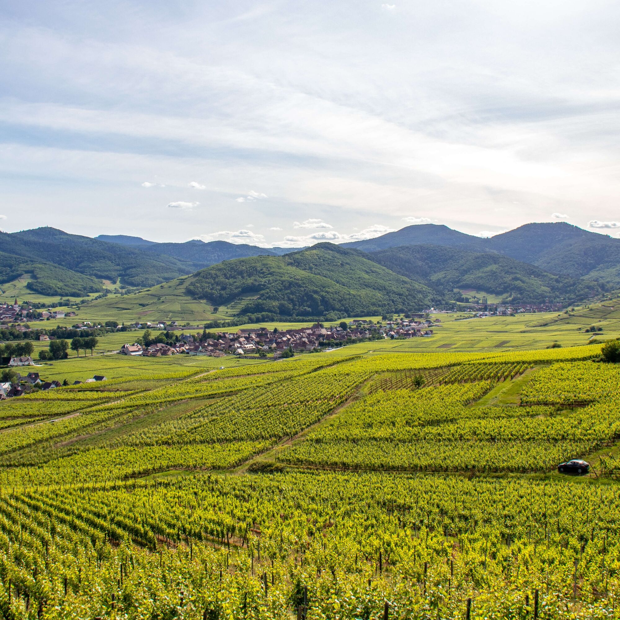
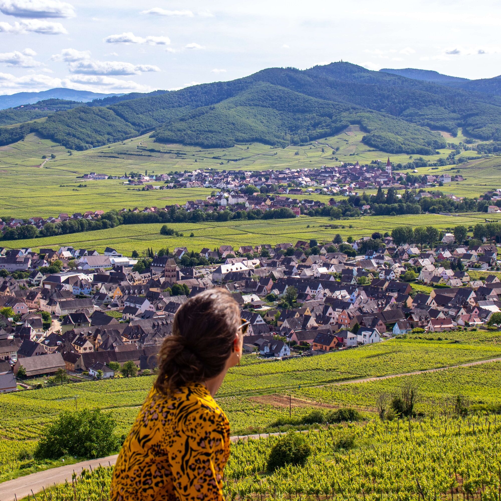
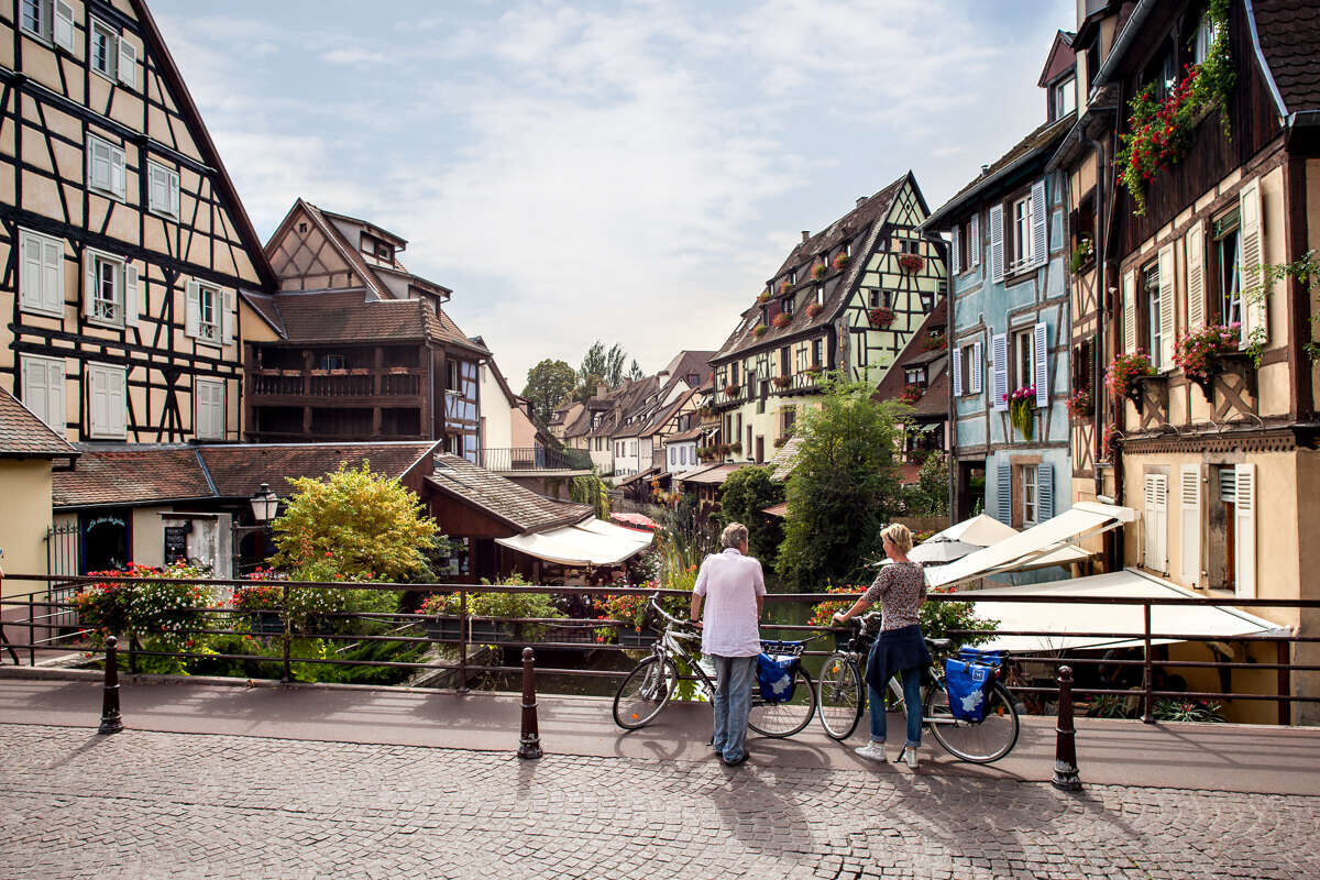
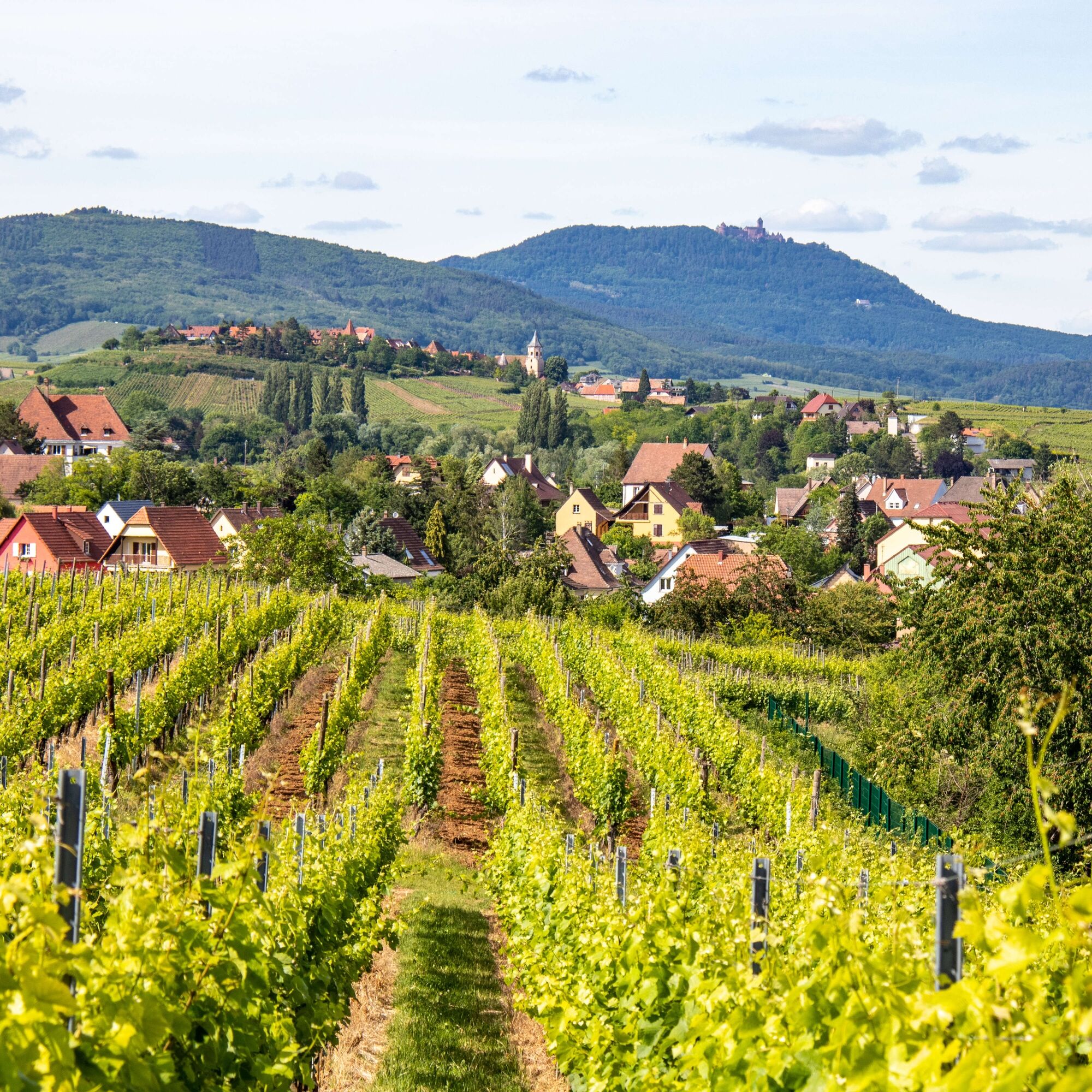
Then head towards the Waldeslust forest towards Sigolsheim (apple orchard and cherry trees), to continue through the vineyards near Bennwihr.
This route follows flat and smooth terrain, pleasant due to...
Opis
Then head towards the Waldeslust forest towards Sigolsheim (apple orchard and cherry trees), to continue through the vineyards near Bennwihr.
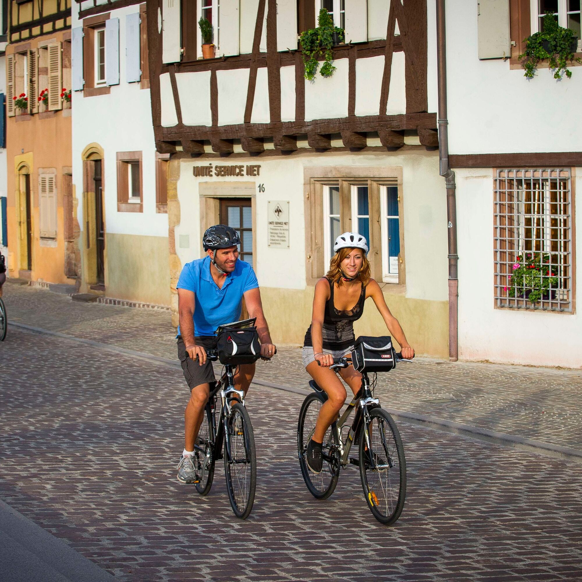
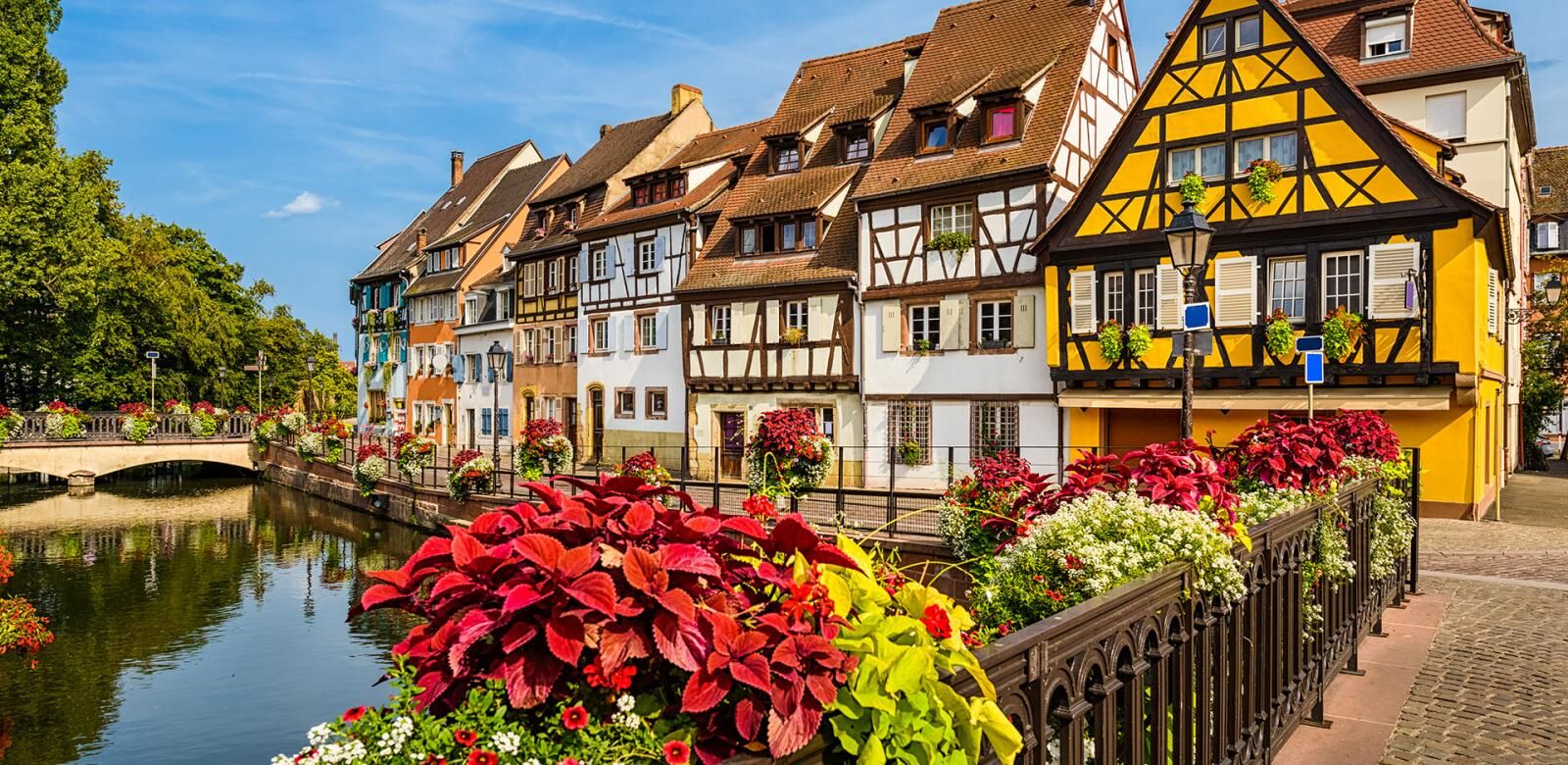
This route follows flat and smooth terrain, pleasant due to its variety and views of the Vosges between Ostheim and Houssen.
Trasa
Colmar
(193 m)
Mesto
0,0 km
Temple
(182 m)
Miesto uctievania
8,0 km
Wasenlaender
(181 m)
Koridor/terén
8,9 km
Chapelle Sainte-Anne
(213 m)
Miesto uctievania
14,9 km
Colmar
(193 m)
Mesto
19,9 km
Rosenkranz
(187 m)
Zúčtovanie
22,7 km
Chapelle Notre-Dame
(186 m)
Miesto uctievania
23,0 km
Trasa
Bike route: BL459 - Ride through the orchards around Colmar
svetlo
Cyklistika
24,10
km
Colmar
(193 m)
Mesto
0,0 km
Am Colmarer Weg
(184 m)
Koridor/terén
1,1 km
Houssen
(183 m)
Dedina
1,8 km
Église Saint-Maurice
(183 m)
Miesto uctievania
1,9 km
Temple
(182 m)
Miesto uctievania
8,0 km
Ostheim
(182 m)
Dedina
8,1 km
Wasenlaender
(181 m)
Koridor/terén
8,9 km
Sewlochlaender
(184 m)
Koridor/terén
10,8 km
Die Strasse
(198 m)
Koridor/terén
11,5 km
Bennwihr
(201 m)
Dedina
12,8 km
Chapelle Sainte-Anne
(213 m)
Miesto uctievania
14,9 km
Sigolsheim
(214 m)
Dedina
15,2 km
Au bon coin
(215 m)
Reštaurácia
15,6 km
Au Pont de la Fecht
(193 m)
Reštaurácia
19,3 km
Colmar
(193 m)
Mesto
19,9 km
Restaurant "Waldeslust"
(195 m)
Reštaurácia
20,1 km
Sauwasen
(189 m)
Koridor/terén
21,3 km
Rosenkranz
(187 m)
Zúčtovanie
22,7 km
Chapelle Notre-Dame
(186 m)
Miesto uctievania
23,0 km
Oben am Rosenkranz
(185 m)
Koridor/terén
23,2 km
Marbacherbreit
(184 m)
Koridor/terén
23,8 km
Autor
Poskytuje Visit Alsace
Prehliadku Bike route: BL459 - Ride through the orchards around Colmar zabezpečuje outdooractive.com.


Zariadenie
Before you leave:
Make sure the bike is in perfect mechanical condition, including tires, brakes, and wheel attachments Ensure the bike is properly adjusted to your body shape Wearing a helmet is highly recommended (mandatory for under 12 years old) Take repair tools with you Remember that the Highway Code applies to cyclists at all times Never ride more than two abreast and merge into a single file when traffic conditions require it Respect other road users as you would like them to respect you Choose a route suitable for your physical abilities Inform people close to you about your itinerary Check the weather conditions A first aid kit is not essential but can be very useful Know and keep emergency numbers: 112 (European emergency number) Respect the environment by not throwing food wrappers on the roadside If you need to return at nightfall, make sure you can see and be seen
Bezpečnostné pokyny
Emergency number: 112
Ďalšie informácie a tipy
Úroveň náročnosti
2
Ďalšie informácie
Zatiaľ žiadne recenzie
Obľúbené výlety v okolí
-
4,0
Ribeauvillé-Riquewihr between forest and vineyard
strednáTuristika 12,5 km -
4,5
Eguisheim zu den 3 Burgen
strednáTuristika 7,90 km -
Bike route: BL128 - Around Colmar, capital of Alsace wines
svetloCyklistika 23,3 km -
Cycling route: Alsace Vineyard Cycle Route: from Marlenheim to Thann
ťažkéDiaľková cyklotrasa 141,4 km -
5,0
Radltour an der Elsässer Weinstraße
strednáElektronický bicykel 43,9 km -
4,0
Hiking circuit - tour of the small and large Hohnack
svetloTuristika 7,07 km -
Saint Hippolyte - Haut Kœnigsbourg
svetloTuristika 12,4 km -
5,0
Wandelen boven Kaysersberg. Vogezen.
svetloTuristika 9,40 km -
Crossing the Vosges Massif - Stage 12 - Châtenois - Ribeauvillé
ťažkédiaľková pešia trasa 19,5 km -
3,0
Tour Haut-Koenigsnourg de St Hypolite
svetloTuristika 11,8 km
Turistika a stopovanie

Viac ako 550.000 návrhov výletov, podrobné mapy a intuitívny plánovač trás robia z aplikácie povinnú výbavu pre všetkých nadšencov prírody.

Nenechajte si ujsť ponuky a inšpiráciu na ďalšiu dovolenku
Prihlásiť sa k odberu noviniek
Chyba
Vyskytla sa chyba. Prosím, skúste to znova.
Ďakujeme za vašu registráciu
Vaša e-mailová adresa bol pridaný do poštového zoznamu.
Zájazdy po celej Európe
Rakúsko
Švajčiarsko
Nemecko
Taliansko
Slovinsko
Francúzsko
Holandsko
Belgicko
Poľsko
Lichtenštajnsko
Česko
Slovensko
španielsko
Hrvaška
Bosna a Hercegovina
Luxembursko
Andorra
Portugalsko
Island
Spojené kráľovstvo
Írsko
Grécko
Albánsko
Severné Macedónsko
Malta
Nórsko
Čierna Hora
Moldavsko
Kosovo
Maďarsko
San Maríno
Rumunsko
Estónsko
Lotyšsko
Bielorusko
Cyprus
Litva
Srbsko
Bulharsko
Monako
Dánsko
Švédsko
Fínsko





