Navigácia na stránke
Získajte túto prehliadku v mobilnom telefóne
Mapa
Mountains, vineyards and castles in Alsace and the Vosges Massif
ťažké
Jazda na koni
154,89 km
Naskenujte kód QR a spustite navigáciu v aplikácii bergfex
QR Code
Turistika a stopovanie

Mountains, vineyards and castles in Alsace and the Vosges Massif

Vzdialenosť
154,89 km
Trvanie
38:00 h
Ascent
4 163 hm
Hladina mora
191 - 1 076 m

Úroveň náročnosti: 3

Stiahnutie skladby
Mapa
Mountains, vineyards and castles in Alsace and the Vosges Massif
ťažké
Jazda na koni
154,89 km

On the Wine Route, pass through typical villages such as Saint-Hippolyte, Rodern, Orschwiller, where a tasting of Alsace wine is a must. Climb towards the Castles of Kintzheim, Thanvillé and enjoy a magnificent...

Opis

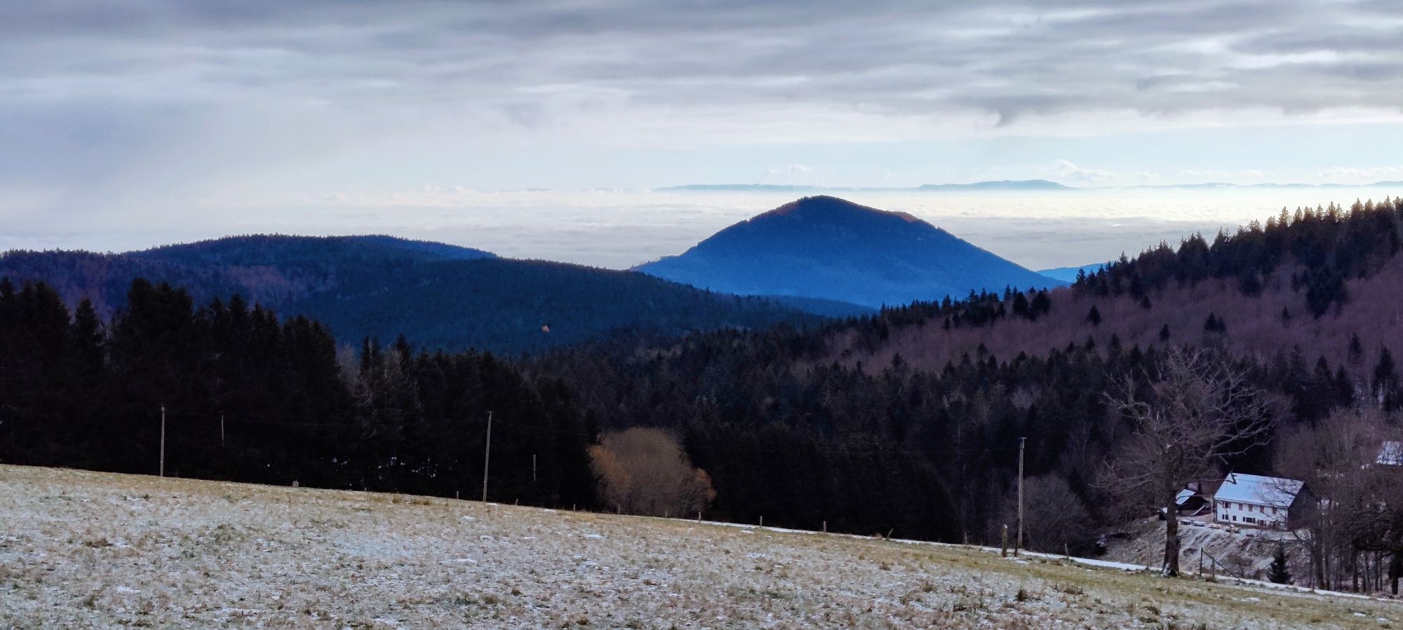
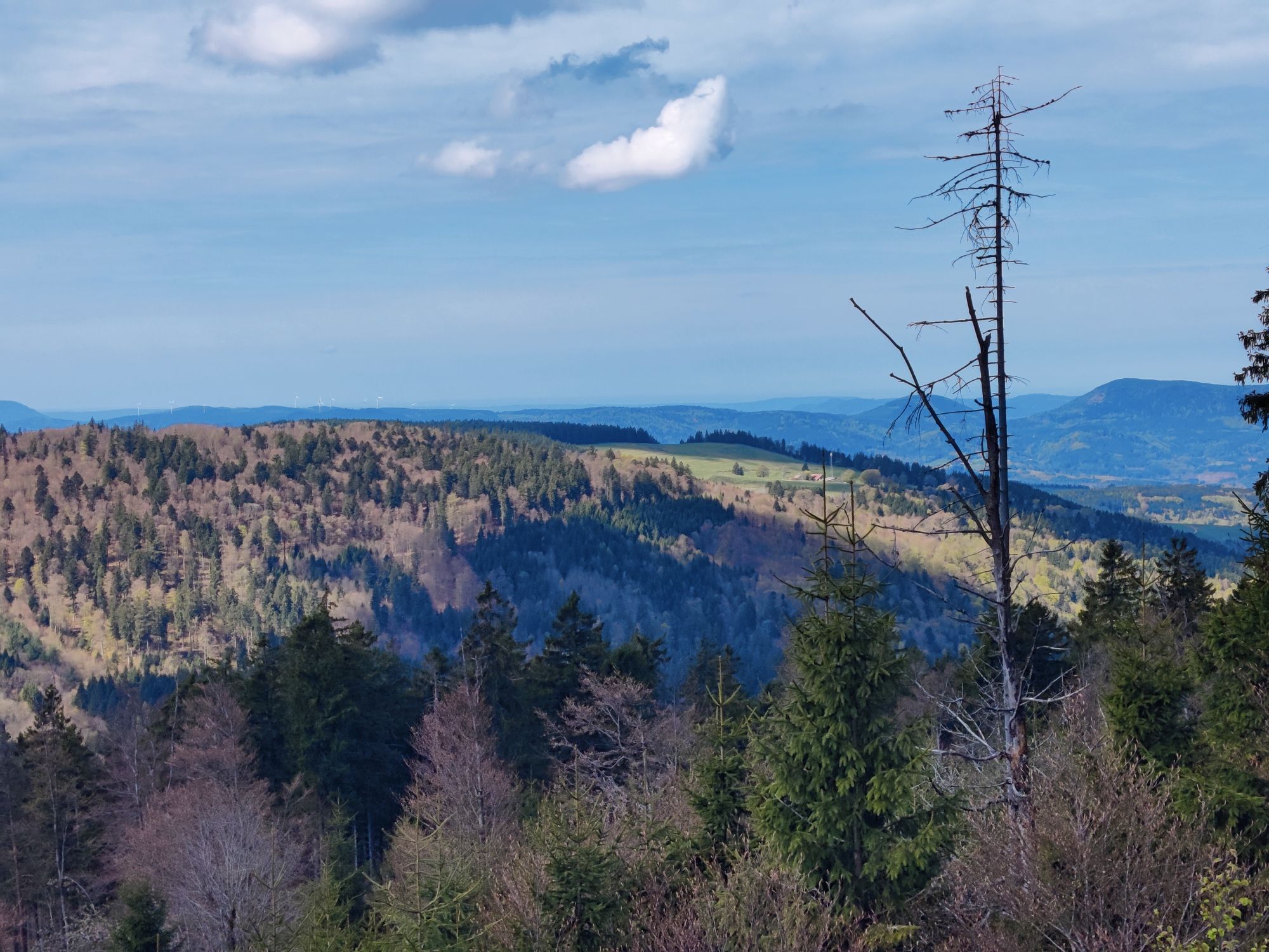
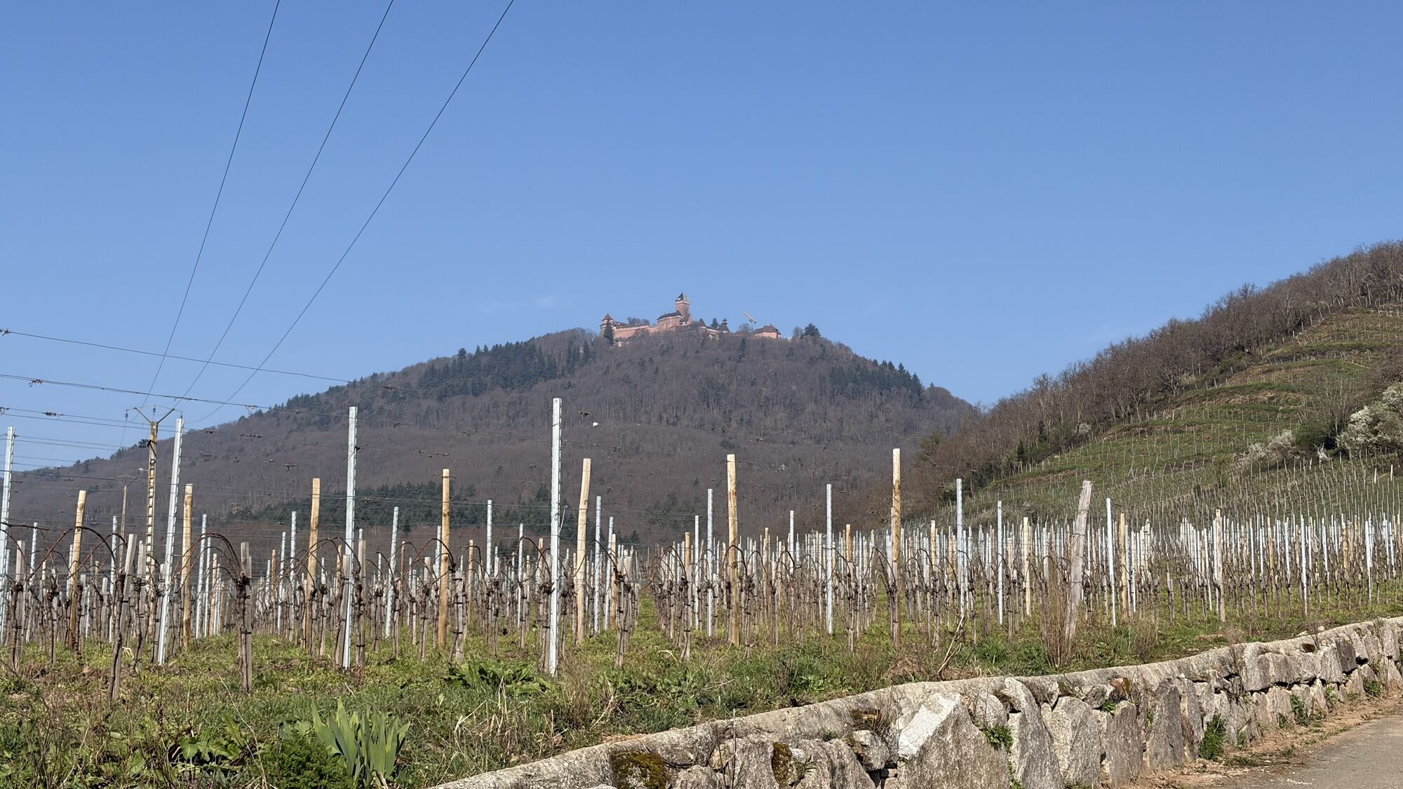
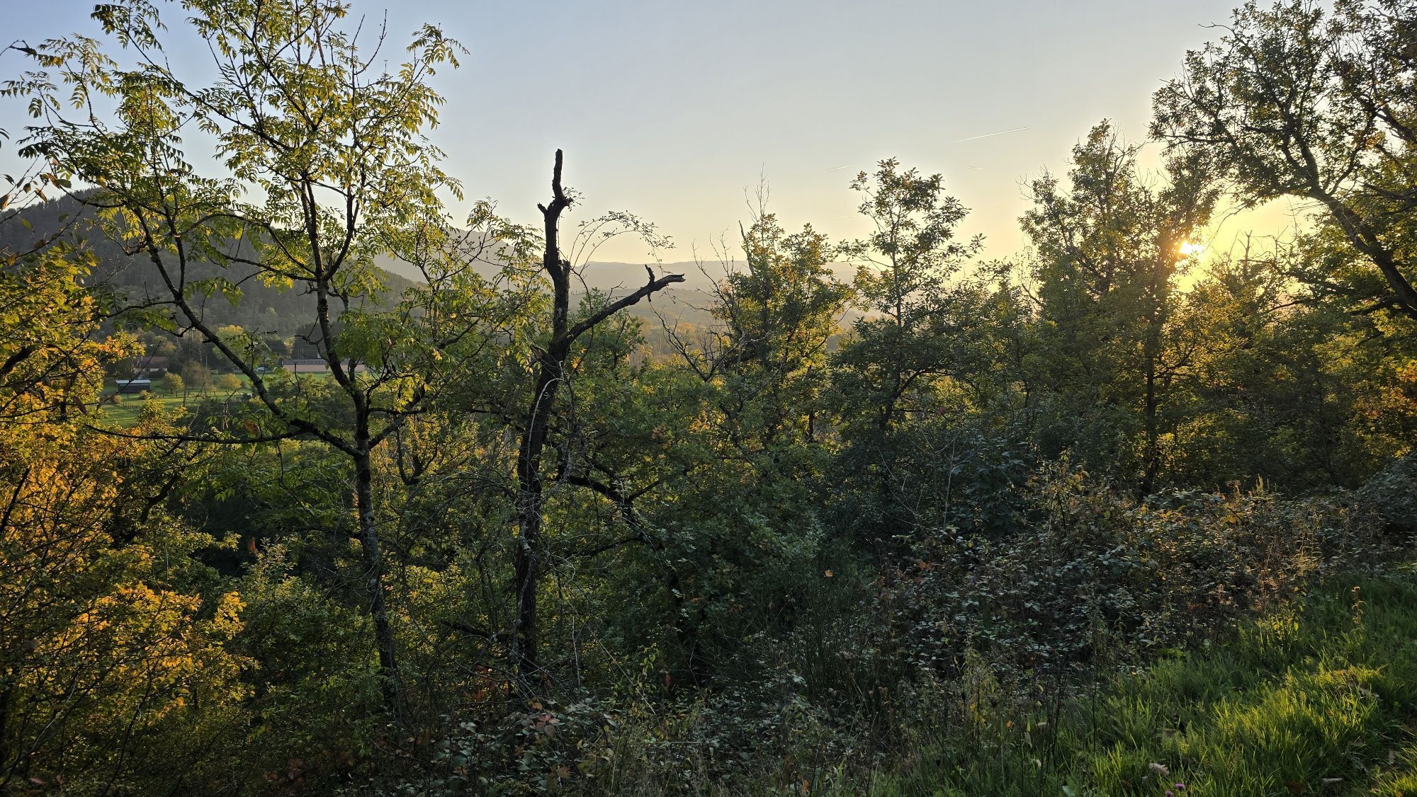
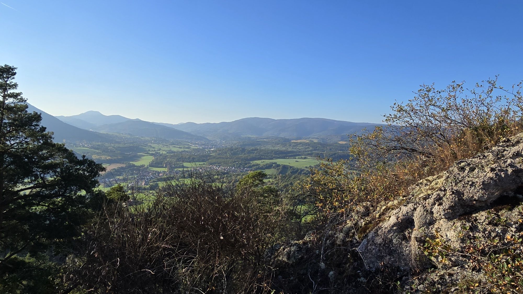
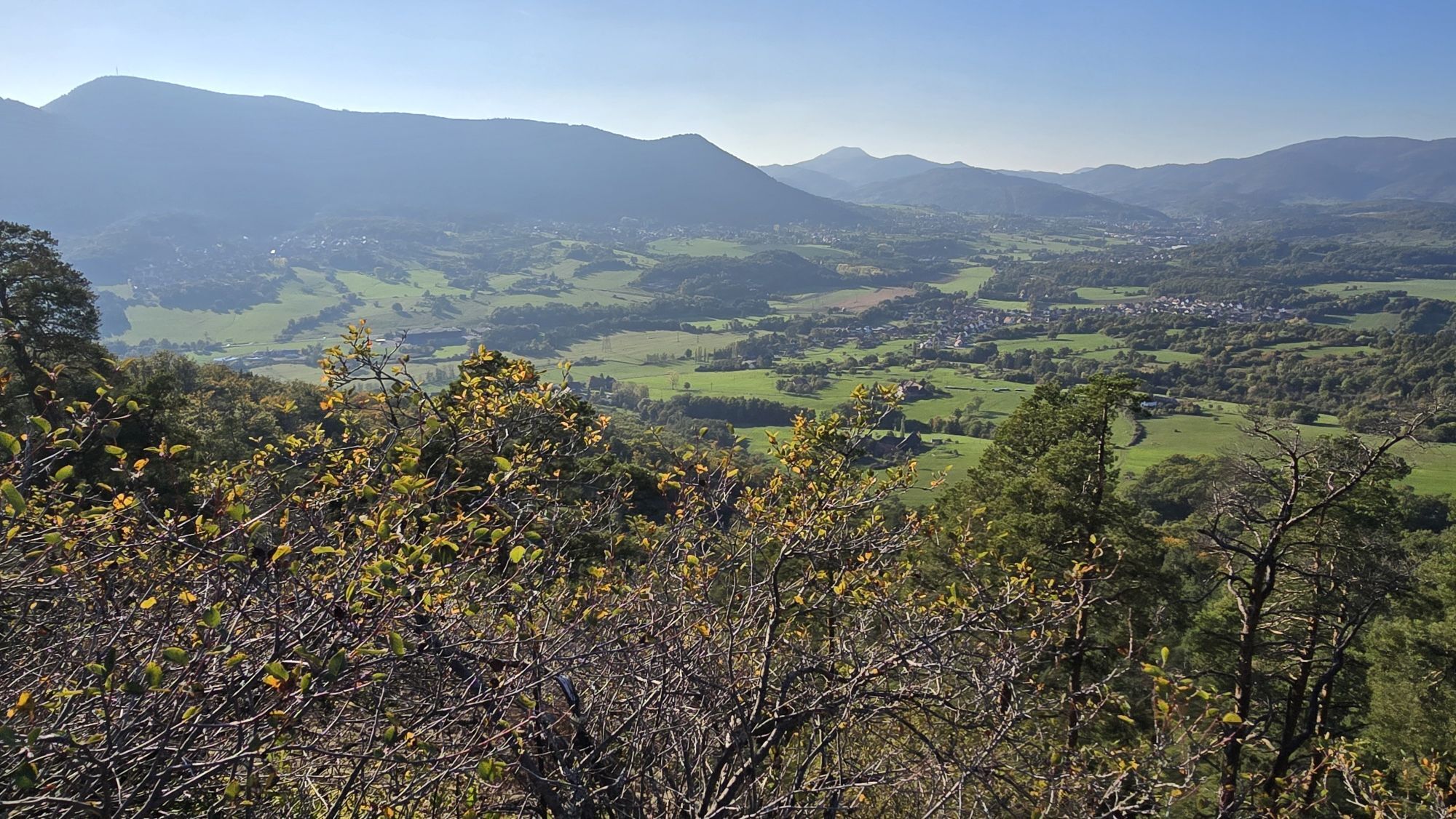
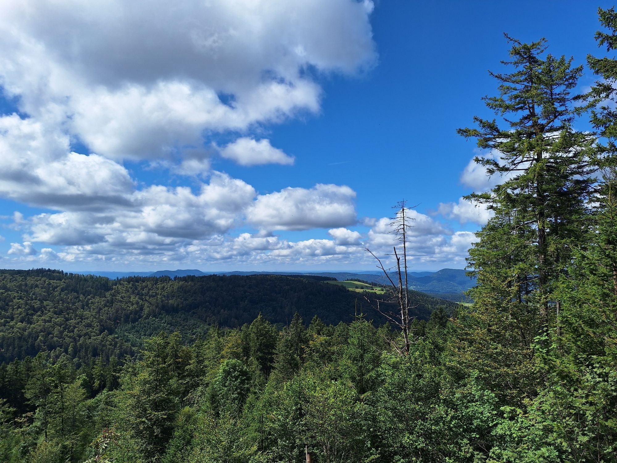
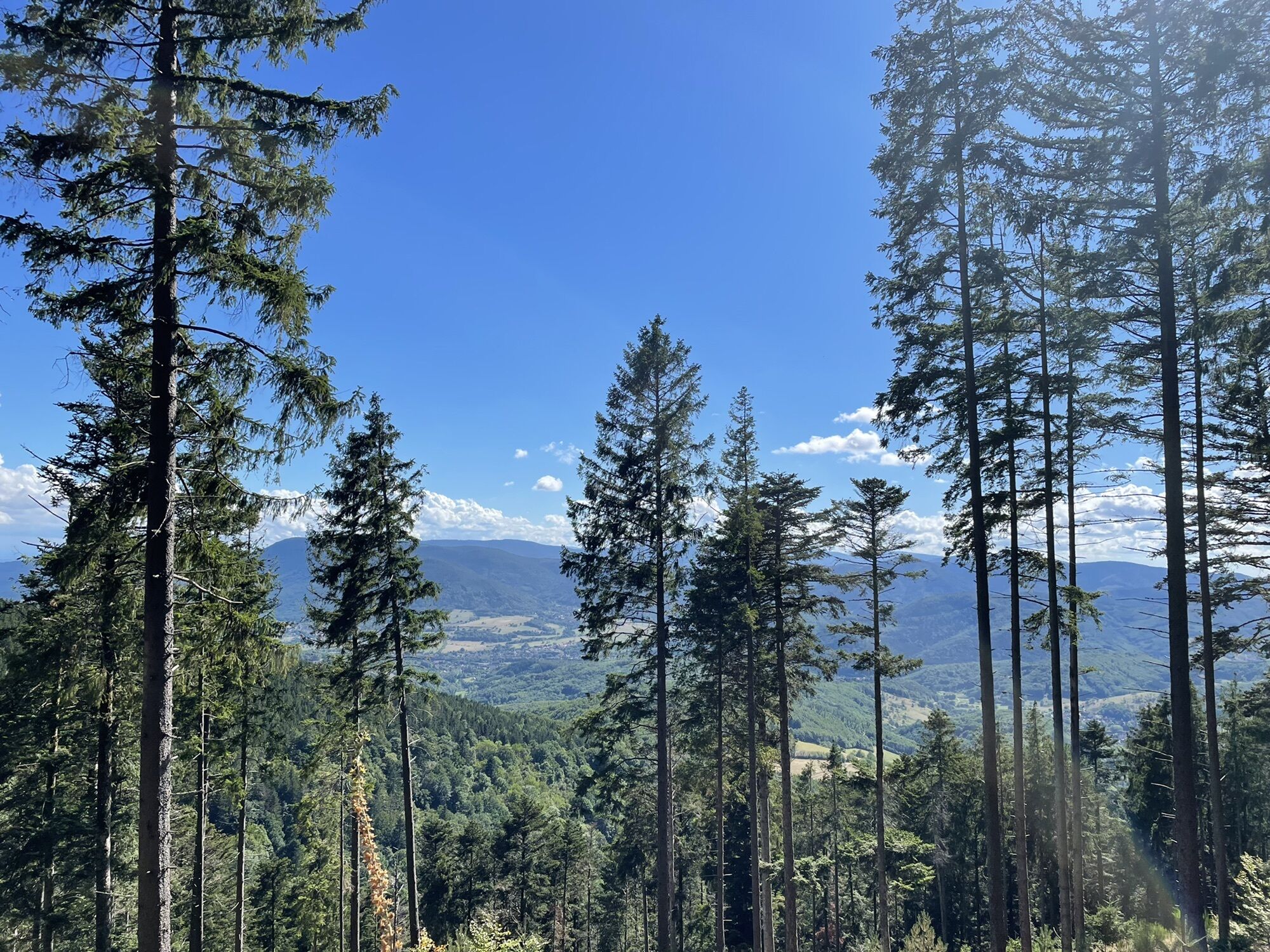
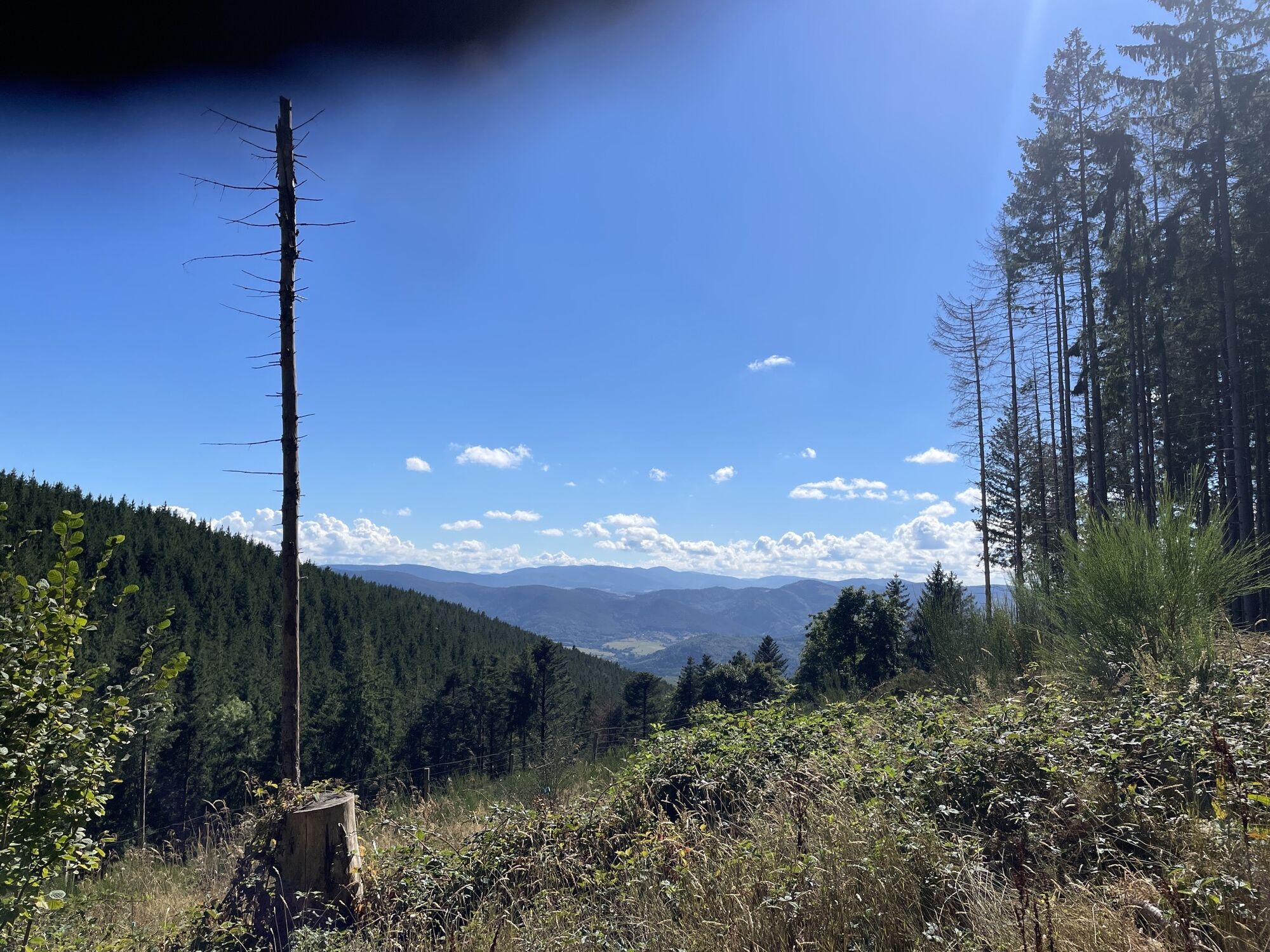
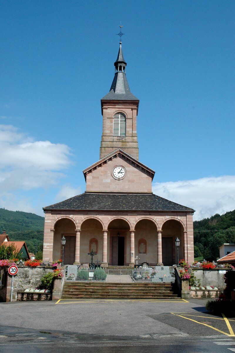
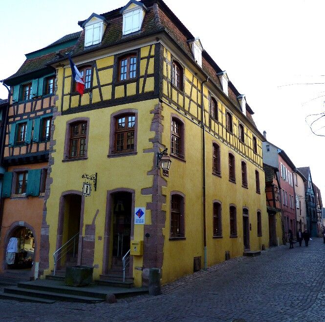
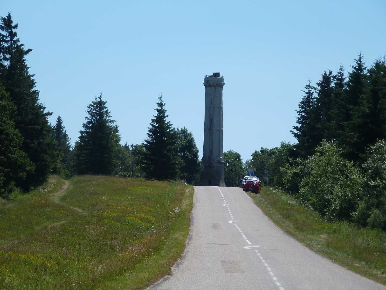
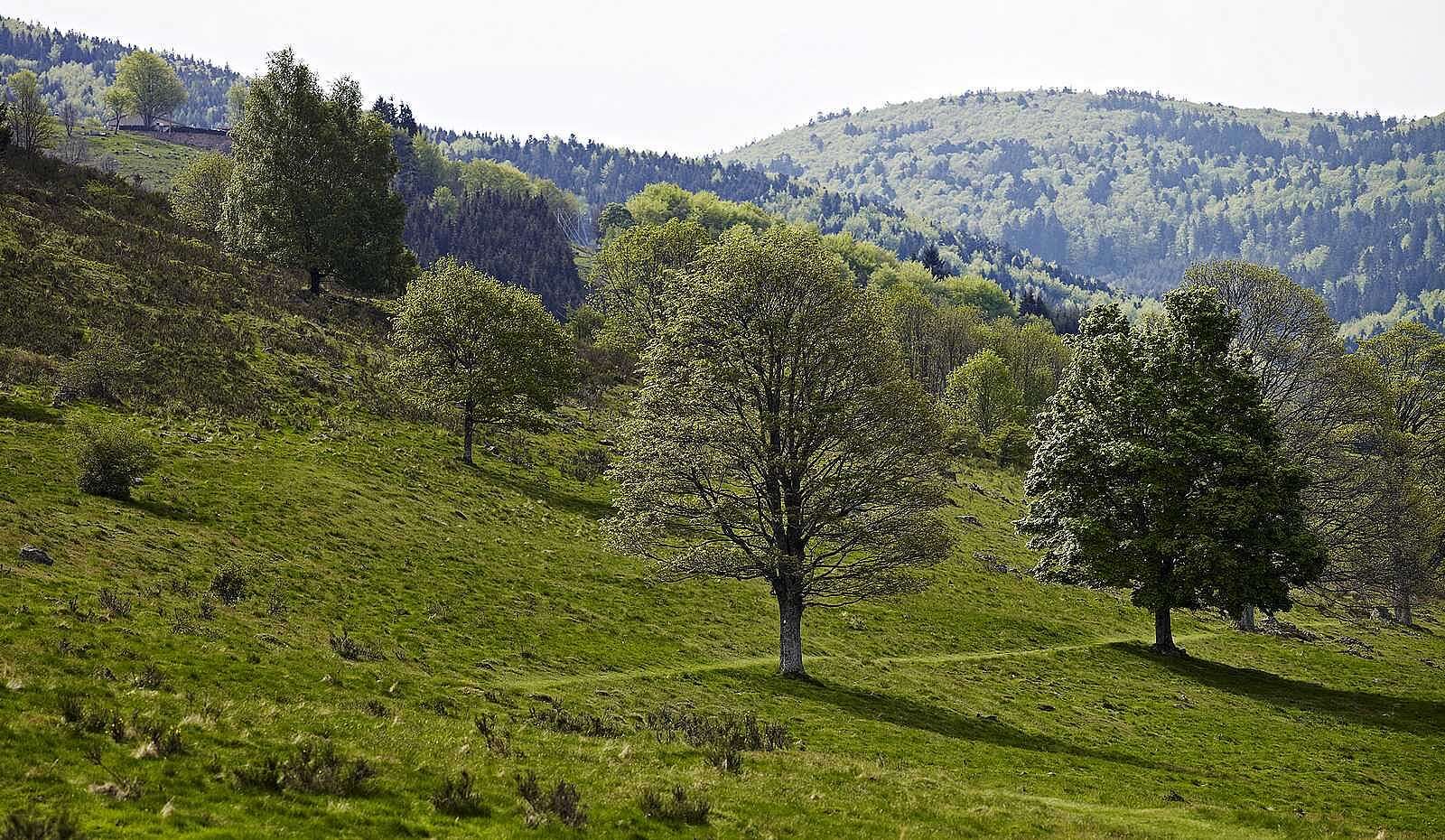
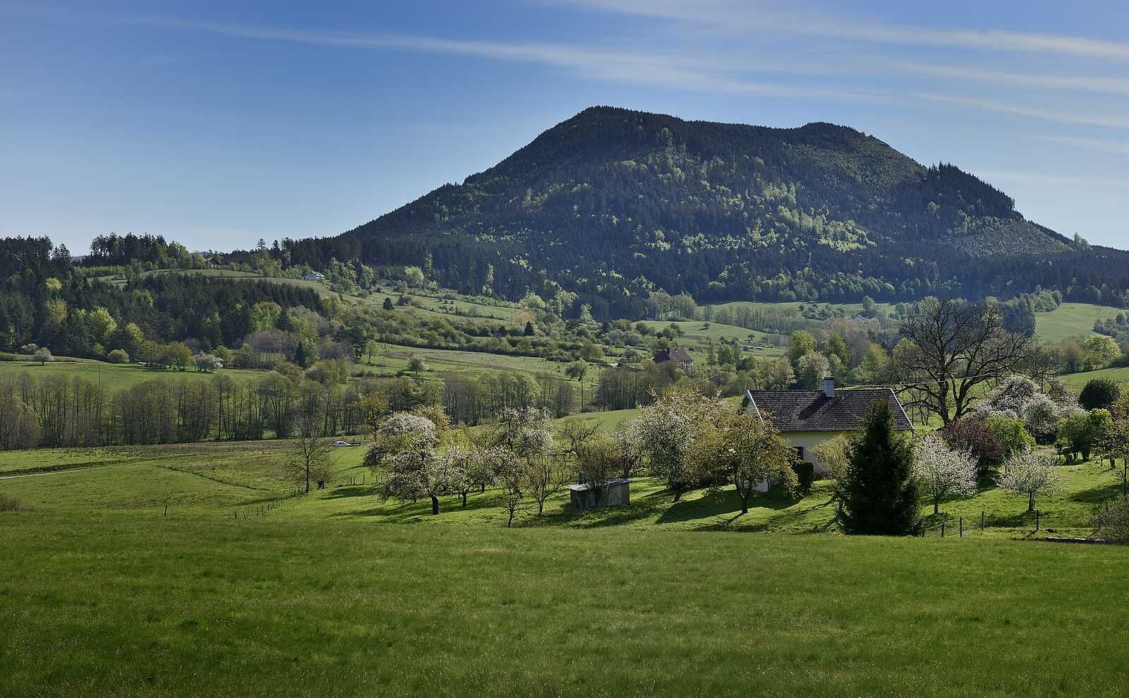
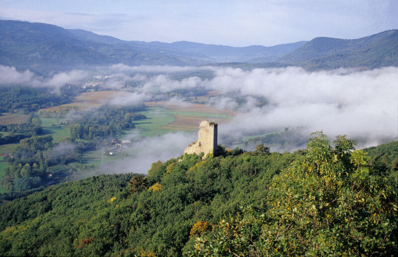
On the Wine Route, pass through typical villages such as Saint-Hippolyte, Rodern, Orschwiller, where a tasting of Alsace wine is a must. Climb towards the Castles of Kintzheim, Thanvillé and enjoy a magnificent view of the Black Forest. Pass through the beautiful valley of Villé, land of cherries, and gallop on the clearings of Champ du Feu, the highest point at 1098m. Further down, pass the Hang clearing with its farms and Mennonite church as well as the Buddhist center perched on the heights of Lusse, an invitation to a wellness break to admire the green valley. Cross the Taennchel massif, a mythical place where the rocks are full of history before arriving in Thannenkirch, a charming mountain village. Finally, a stop at the foot of the Château du Giersberg or the imposing Château du Haut-Koenigsbourg. A magical route!

Trasa
Le Haut des Monts
(994 m)
Summit
32,8 km
Église Saint-Vincent
(511 m)
Miesto uctievania
49,8 km
Église Saint-Jean-Baptiste
(446 m)
Miesto uctievania
71,3 km
Le Giron
(409 m)
Zúčtovanie
80,4 km
Col du Schaentzel
(584 m)
Horské sedlo
127,1 km
Bergheim
(209 m)
Dedina
135,1 km
Chapelle Notre-Dame-du-Bon-Secours
(217 m)
Miesto uctievania
149,3 km
Trasa
Mapa
Mountains, vineyards and castles in Alsace and the Vosges Massif
ťažké
Jazda na koni
154,89 km
Mittelmuehl
(197 m)
Zúčtovanie
0,7 km
Brischbach
(230 m)
Zúčtovanie
6,0 km
Thanvillé
(231 m)
Dedina
11,4 km
Le Relais du Château
(232 m)
Reštaurácia
11,4 km
Hagel
(353 m)
Koridor/terén
13,9 km
Col de l'Ungersberg
(676 m)
Horské sedlo
18,5 km
La Chaume des Veaux
(930 m)
Zúčtovanie
26,1 km
Le Haut des Monts
(994 m)
Summit
32,8 km
Col de la Perheux
(699 m)
Koridor/terén
37,2 km
Hayengotel
(587 m)
Koridor/terén
38,9 km
Waldersbach
(503 m)
Dedina
39,8 km
Huna Le Restaurant
(496 m)
Reštaurácia
40,0 km
La Goutte du Moulin
(512 m)
Koridor/terén
40,4 km
Fontaine
(593 m)
Zdroj
41,1 km
Église Protestante
(636 m)
Miesto uctievania
41,4 km
Bellefosse
(675 m)
Dedina
41,4 km
Ferme Auberge Au Ban de la Roche
(800 m)
Reštaurácia
41,8 km
Ferme Auberge du Promont
(763 m)
Reštaurácia
44,6 km
Ferme Auberge Haut Bois
(516 m)
Reštaurácia
46,4 km
Ranrupt
(510 m)
Dedina
49,8 km
Église Saint-Vincent
(511 m)
Miesto uctievania
49,8 km
Auberge du Climont
(510 m)
Reštaurácia
49,8 km
Stampoumont
(615 m)
Zúčtovanie
52,4 km
Chapelle Saint-Joseph
(618 m)
Miesto uctievania
52,4 km
Bourg-Bruche
(499 m)
Dedina
57,4 km
Lubine
(472 m)
Dedina
65,1 km
Église de la Pentecôte
(473 m)
Miesto uctievania
65,2 km
La Belle Vue
(626 m)
Zúčtovanie
68,6 km
L'Ordon
(615 m)
Zúčtovanie
68,9 km
Église Saint-Jean-Baptiste
(446 m)
Miesto uctievania
71,3 km
Lusse
(430 m)
Dedina
71,3 km
Le Village
(423 m)
Koridor/terén
71,4 km
Devant le Moulin
(425 m)
Koridor/terén
71,5 km
Les Sept Chemins
(590 m)
Koridor/terén
78,1 km
Layegoutte
(408 m)
Zúčtovanie
80,2 km
Le Giron
(409 m)
Zúčtovanie
80,4 km
Ban-de-Laveline
(430 m)
Dedina
81,3 km
Maison de Laveline
(424 m)
Reštaurácia
81,7 km
Le Giron
(409 m)
Zúčtovanie
84,0 km
Layegoutte
(408 m)
Zúčtovanie
84,2 km
Les Censés
(534 m)
Zúčtovanie
86,1 km
Les Sept Chemins
(590 m)
Koridor/terén
86,6 km
Grande Plaine
(540 m)
Zúčtovanie
98,4 km
Croix de Mission
(411 m)
Koridor/terén
99,8 km
Sainte-Marie-aux-Mines
(370 m)
Dedina
100,1 km
A la ville de Strasbourg
(364 m)
Reštaurácia
100,3 km
Brasserie des Sports
(364 m)
Reštaurácia
100,3 km
Fertrupt
(399 m)
Zúčtovanie
101,3 km
Carrefour du Rotzel
(726 m)
Koridor/terén
111,3 km
Melkerhoff
(607 m)
Zúčtovanie
113,7 km
Carrefour du Rotzel
(726 m)
Koridor/terén
117,4 km
Schweinsbach
(479 m)
Koridor/terén
119,9 km
Mollenbach
(402 m)
Zúčtovanie
122,3 km
Col du Schaentzel
(584 m)
Horské sedlo
127,1 km
La Cave de Rodern - Schaentzel
(579 m)
Zúčtovanie
127,6 km
Carrefour de la Lach
(428 m)
Koridor/terén
129,5 km
Lieth
(253 m)
Koridor/terén
133,4 km
Bockenbruck
(215 m)
Koridor/terén
134,6 km
Bergheim
(209 m)
Dedina
135,1 km
Goldesch und Leimengrub
(216 m)
Koridor/terén
136,0 km
Goldesch
(226 m)
Koridor/terén
136,5 km
Rotenberg
(226 m)
Koridor/terén
136,7 km
Unterer Trottacker
(278 m)
Koridor/terén
139,2 km
Saint-Georges
(292 m)
Koridor/terén
140,0 km
Niederburg
(255 m)
Koridor/terén
141,0 km
Rorschwihr
(234 m)
Dedina
142,4 km
Rodern
(264 m)
Dedina
143,9 km
Fontaine
(261 m)
Zdroj
146,0 km
Saint-Hippolyte
(240 m)
Dedina
146,1 km
Silbergrub
(256 m)
Koridor/terén
146,6 km
Église Catholique Saint-Maurice
(259 m)
Miesto uctievania
147,1 km
Orschwiller
(245 m)
Dedina
147,2 km
Fontaine
(241 m)
Zdroj
147,6 km
Kintzheim
(205 m)
Dedina
149,3 km
Pflaenzer
(226 m)
Koridor/terén
149,3 km
Chapelle Notre-Dame-du-Bon-Secours
(217 m)
Miesto uctievania
149,3 km
Steingrube
(253 m)
Koridor/terén
149,8 km
Châtenois
(190 m)
Dedina
152,1 km
Mittelmuehl
(197 m)
Zúčtovanie
153,8 km
Informácie o prehliadke

Equestrian route in 6 stages to discover the mountains, vineyards, and castles in Alsace and the Vosges Massif.

Technológia
3 / 6
Stav
6 / 6
Krajina
4 / 6
Skúsenosti
4 / 6
Prístupné po celý rok
Jan
Feb
Mar
Apr
Máj
Jún
Júl
Aug
Sep
Okt
Nov
Dec
Zdieľať prehliadku
Mapa
Mountains, vineyards and castles in Alsace and the Vosges Massif
ťažké
Jazda na koni
154,89 km
Chyba
Vyskytla sa chyba. Prosím, skúste to znova.
Informácie o trase
Trasa

RIBEAUVILLE > CHATENOIS - 19km - 4h                        

CHATENOIS > BELMONT - 32km - 7h   

BELMONT > RANRUPT - 22km - 5h                                          

RANRUPT > BAN DE LAVELINE - 29km- 6h                                        

BAN DE LAVELINE > THANNENKIRCH - 31km - 7h

THANNENKIRCH > RIBEAUVILLE - 22km - 5h                                  

Zariadenie

Knowing the rules related to the right of way for horses is fundamental for the practice of horse riding.

Bezpečnostné pokyny

Knowing the rules related to the right of way for horses is fundamental for the practice of horse riding.

Informácie o príchode
Príchod

Ribeauville

Verejná doprava

Ribeauville

Parkovanie

Ribeauville

Ďalšie informácie a tipy
Úroveň náročnosti

3

Ďalšie informácie

Regional Committee of Equestrian Tourism of Grand-Est

contact@crtegrandest.fr | www.crtegrandest.fr

+

Sylvie LAUFER

Lieu-dit Rotenberg - 68150 RIBEAUVILLE

+33 (0)6 67 53 96 75 - bonjour@gite-rotenberg.fr

Tipy

Accommodation is possible in the listed equestrian lodges. This route is based on 6 days, but loops of 3 or 4 days are quite possible. The itinerant rider will discover the mountains, vineyards, and castles. Departure can be from the lodge of your choice and in any direction. Each stage is indicated with the number of km as well as the expected time considering the elevation changes.

Turistika a stopovanie

Turistika a stopovanie

Turistika a stopovanie
Viac ako 550.000 návrhov výletov, podrobné mapy a intuitívny plánovač trás robia z aplikácie povinnú výbavu pre všetkých nadšencov prírody.
bergfex