


Hundsruck Trail the 3 farm inns
(Red rectangle, GR5) From the Hundsruck pass at 748m, follow the narrow path ascending through the forest towards Thanner Hubel, Rossberg, Belacker. Arrive at the place called Martisplatz, a meadow at...
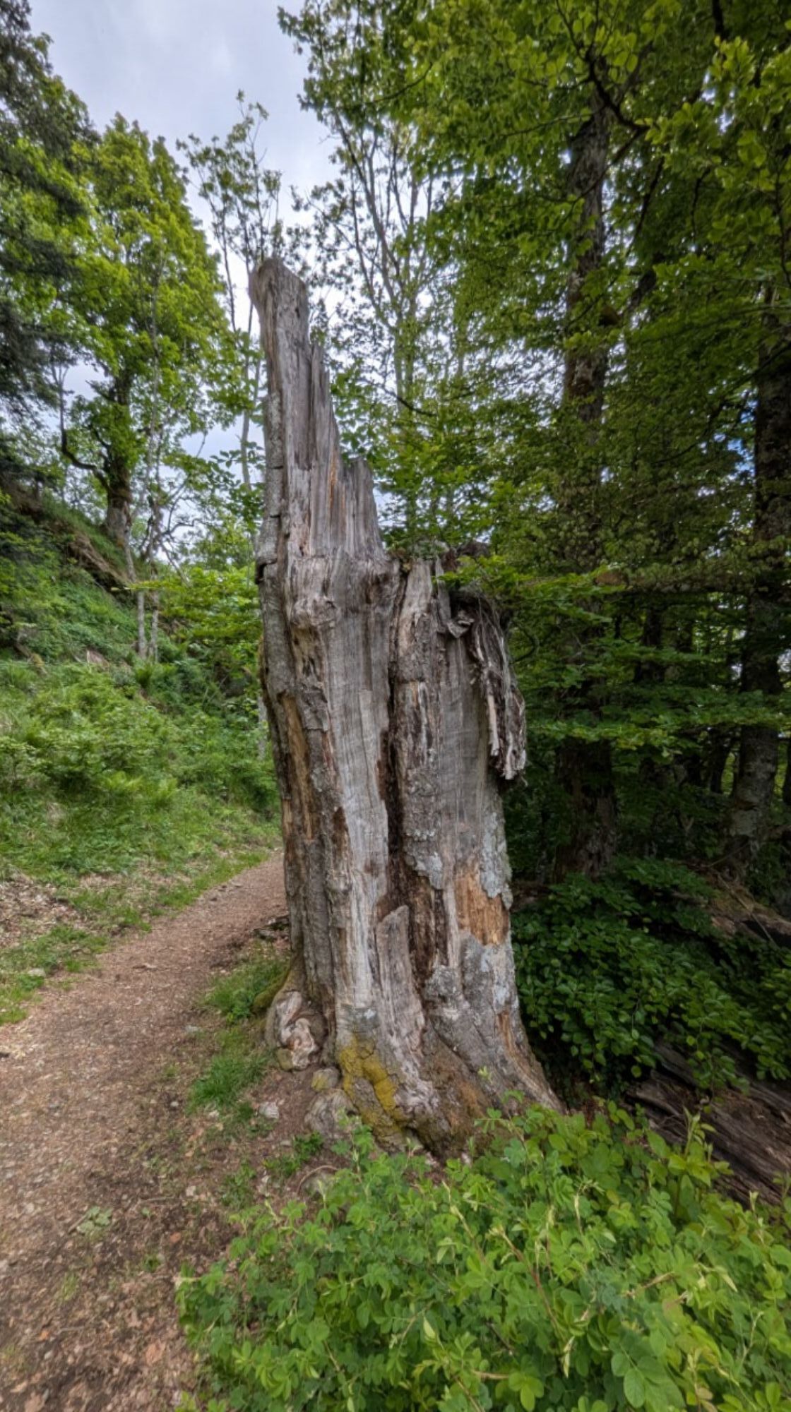
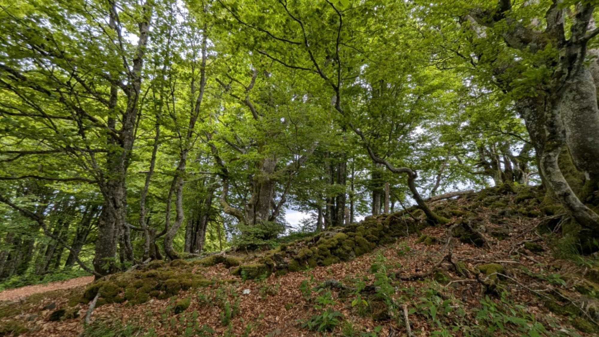
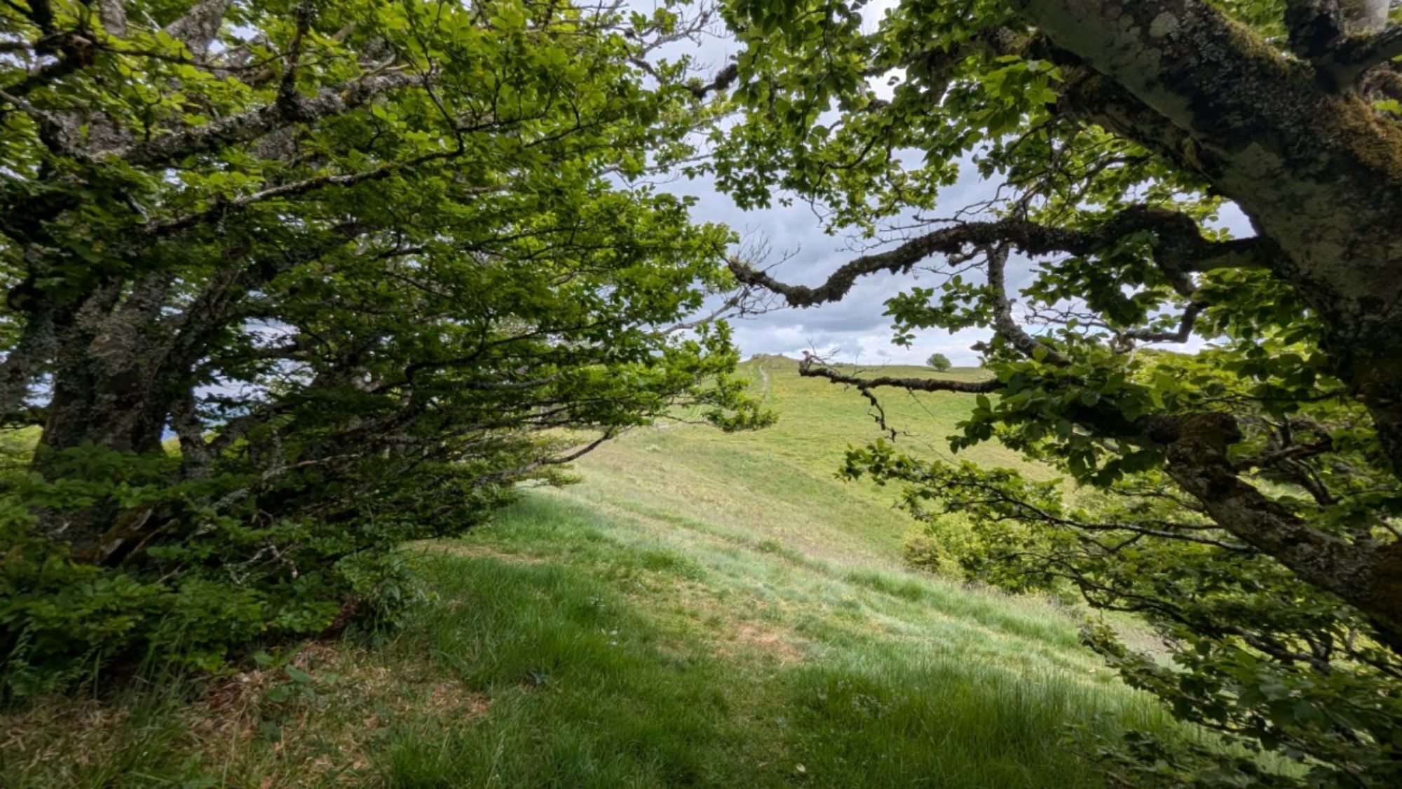
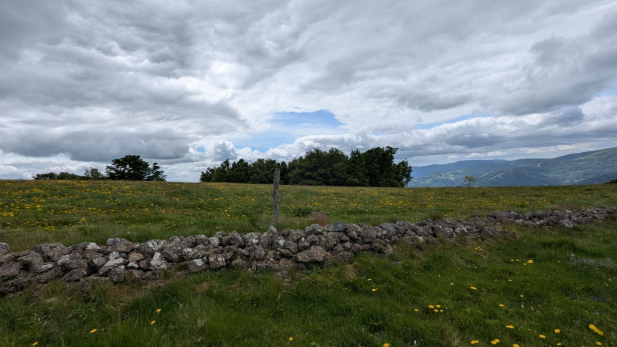
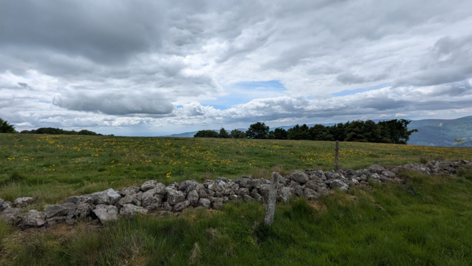
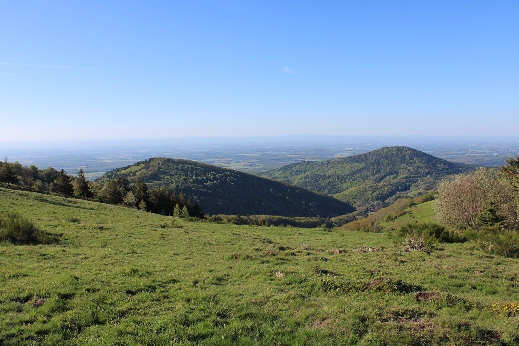
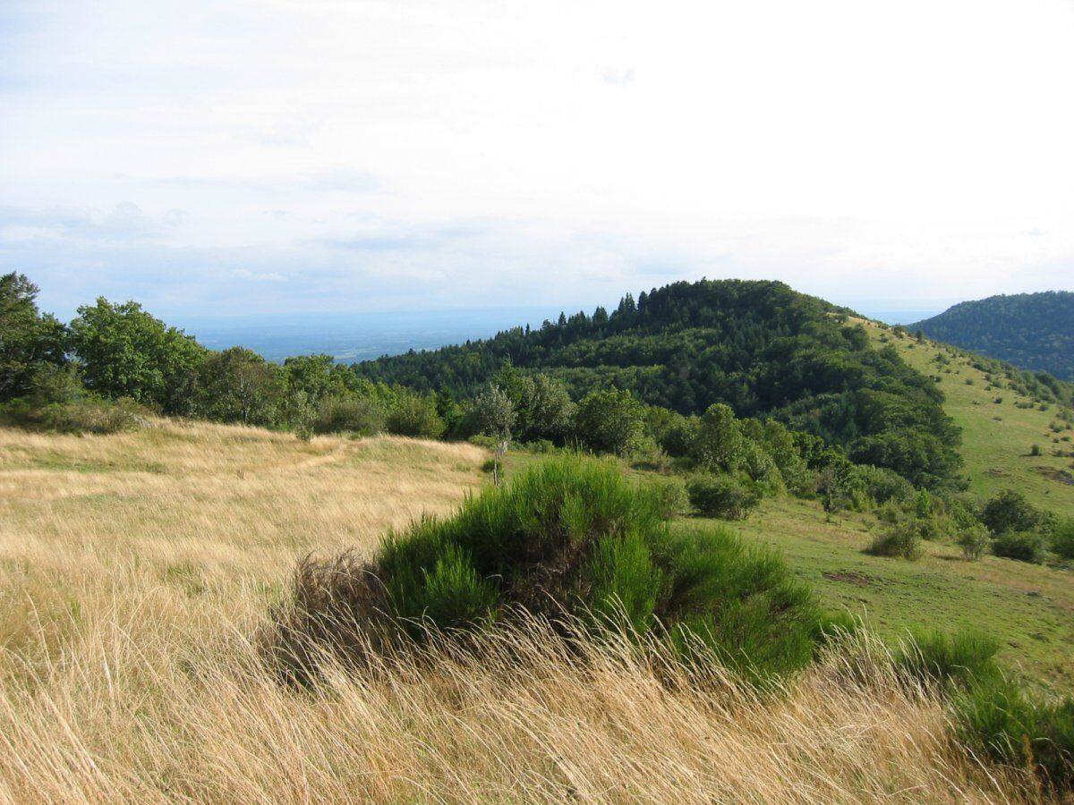
(Red rectangle, GR5) From the Hundsruck pass at 748m, follow the narrow path ascending through the forest towards Thanner Hubel, Rossberg, Belacker. Arrive at the place called Martisplatz, a meadow at 860m with views of the Alps on clear days (bench). (Red triangle) Take the narrow and rocky path to the right towards Thanner Hubel. Cross a track (parking on the left 949m). After a beautiful viewpoint over the Thur valley, exit the forest, go left, and then follow to the right the track to the farm and the Thanner Hubel shelter. In front of the shelter, take the path ascending via the ski slope to a pass (orientation table, low wall), very beautiful panorama and stunning view over the continuation of the route (Gsang Farm). Descend towards the shelter and the Waldmatt pass (waypoint for return). Descend towards the Thur valley then take left towards the Gsang farm. From the farm, the path continues horizontally and skirts the mountain through a beautiful beech forest. Cross a track (Krappenfels viewpoint on the right as a short out-and-back soon afterward) and continue on the path crossing several streams and emerging into the meadow under the Belacker farm-inn. (Red rectangle, GR5) Follow the direction Rossberg across the meadow to a steep path ascending into the forest towards a rocky summit at 1156m, beautiful viewpoint over the Volcano Forest Nature Reserve and the Vogelsteine. Continue to the Vogelsteine at 1181m via the high pasture and return to the Waldmatt pass (water point near the Rossberg shelter). Descend the track towards Hundsruck and at the level of a small chapel (on the left) take the path descending right into the forest (barrier). Cross a track, resume the path on the left, pass at the foot of a small fountain (table) and large fir trees. Descend a track for a few dozen meters and resume the path descending right towards Martisplatz (Natura 2000 sign). Descend again to the Hundsruck pass by the departure route.
(Red rectangle, GR5) From the Hundsruck pass at 748m, follow the narrow path ascending through the forest towards Thanner Hubel, Rossberg, Belacker. Arrive at the place called Martisplatz, a meadow at 860m with views of the Alps on clear days (bench). (Red triangle) Take the narrow and rocky path to the right towards Thanner Hubel. Cross a track (parking on the left 949m). After a beautiful viewpoint over the Thur valley, exit the forest, go left, and then follow to the right the track to the farm and the Thanner Hubel shelter. In front of the shelter, take the path ascending via the ski slope to a pass (orientation table, low wall), very beautiful panorama and stunning view over the continuation of the route (Gsang Farm). Descend towards the shelter and the Waldmatt pass (waypoint for return). Descend towards the Thur valley then take left towards the Gsang farm. From the farm, the path continues horizontally and skirts the mountain through a beautiful beech forest. Cross a track (Krappenfels viewpoint on the right as a short out-and-back soon afterward) and continue on the path crossing several streams and emerging into the meadow under the Belacker farm-inn. (Red rectangle, GR5) Follow the direction Rossberg across the meadow to a steep path ascending into the forest towards a rocky summit at 1156m, beautiful viewpoint over the Volcano Forest Nature Reserve and the Vogelsteine. Continue to the Vogelsteine at 1181m via the high pasture and return to the Waldmatt pass (water point near the Rossberg shelter). Descend the track towards Hundsruck and at the level of a small chapel (on the left) take the path descending right into the forest (barrier). Cross a track, resume the path on the left, pass at the foot of a small fountain (table) and large fir trees. Descend a track for a few dozen meters and resume the path descending right towards Martisplatz (Natura 2000 sign). Descend again to the Hundsruck pass by the departure route.
Clothing adapted to the season and conditions (cold, hot, wet…)
Hiking shoes suitable for the terrain (even for children!)
Telescopic poles (useful for stability and to relieve joints)
Mobile phone and spare battery if needed
Call 112 (European emergency number)
5 key points to transmit your alert:
Where? municipality, place, route, altitude
Who? identity, phone number
What? type of accident, number of victims, severity, fall dynamics
When? accident time Weather? wind, visibility
7 rue de la 1ère Armée
68800 Thann
Tel: 03 89 37 96 20
www.tourisme-thann-cernay.fr
Obľúbené výlety v okolí
-
Grand Ballon route in 3 days
ťažkédiaľková pešia trasa 54,2 km -
4,0
Boucle du Grand Ballon de Goldbach-Altenbach, France
strednáTuristika 14,7 km -
5,0
Visit of the Hartmannswillerkopf battlefield
svetloTuristika 5,45 km -
5,0
Discovery trail circuit at the Ballon d'Alsace
strednáTuristika 2,69 km -
Felsach farm-inn walk "Towards a nature sanctuary"
strednáTuristika 6,81 km -
Crossing of the Vosges Massif - Stage 17 - Thann - Ballon d'Alsace
ťažkédiaľková pešia trasa 27,8 km -
The Thannerhubel at Bourbach-le-Haut
strednáTuristika 7,32 km -
Crossing of the Vosges Massif - Stage 16 - Le Markstein - Thann
ťažkédiaľková pešia trasa 28,0 km -
Haag Farm-Inn walk "Between the shade of the beech woods and the light of the high pastures"
strednáTuristika 5,83 km -
Farm-Auberge Grand Ballon walk "Under the highest peak of the Vosges"
svetloTuristika 5,16 km
Turistika a stopovanie


Nenechajte si ujsť ponuky a inšpiráciu na ďalšiu dovolenku
Vaša e-mailová adresa bol pridaný do poštového zoznamu.