


Hiking - The Tumulus of the Cucherons
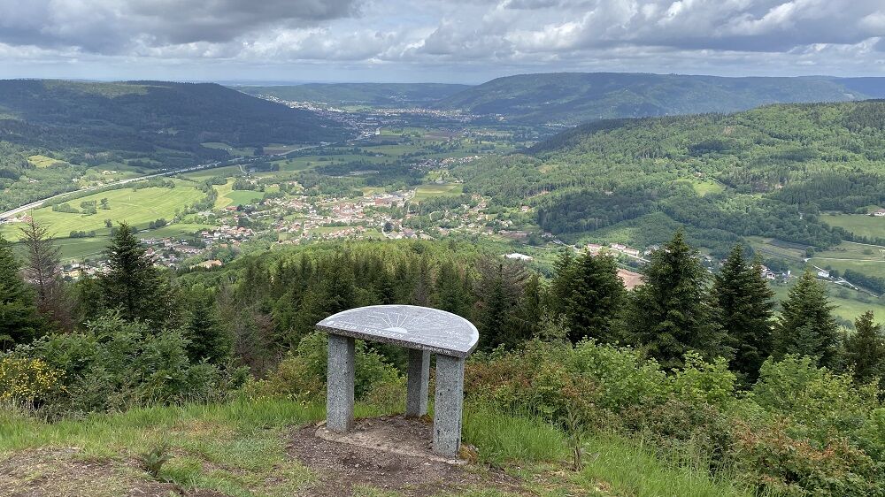
1) Take the small road (red disk marking) uphill to the orientation table and viewpoint.
2) Follow the marking on a flat path then a slight descent until a trail.
3) Leave the marking, go up to the right...
1) Take the small road (red disk marking) uphill to the orientation table and viewpoint.
2) Follow the marking on a flat path then a slight descent until a trail.
3) Leave the marking, go up to the right then descend to the road to return to the parking lot.

https://www.tourisme-lorraine.fr/a-voir-a-faire/loisirs/balades-et-randonnees/885004159-randonnee-le-tumulus-des-cucherons-vecoux
Áno
Áno
Recommended equipment
Clothing suitable for the season and conditions (cold, hot, humid ...)
Hiking shoes adapted to the terrain (even for children!)
Telescopic poles (useful for stability and joint relief)
Mobile phone and spare battery if needed
In case of problem
Call 112 (European emergency number)
5 key points to send your alert:
Where? Municipality, place, route, altitude
Who? Identity, phone number
What? Type of accident, number of victims, severity, fall dynamics
When? Time of the accident
Weather? Wind, visibility
Remiremont Plombières-les-Bains Tourist Office
https://www.tourisme-remiremont-plombieres.com/
Remiremont office: Tel. 03 29 62 23 70
Plombières-les-Bains office: Tel. 03 29 66 01 30
Val-d'Ajol office: Tel. 03 29 30 61 55
The Montagne des Cucherons located 2 km southeast of the village peaks at 803 m. Its summit is called the "Tumulus" because of its rocky spur shape, which Abbé Didelot had mistaken for a tumulus.
Obľúbené výlety v okolí
-
The Dukes' trail
strednádiaľková pešia trasa 340,7 km -
Ride Farmhouse-Inn des Prenzières - On the way to the summer pasture
strednáTuristika 4,94 km -
The Faymont waterfall from Plombières-les-Bains
strednáTuristika 18,2 km -
Hautes Vosges greenway
strednáCestný bicykel 66,4 km -
Hike - Saint Mont
strednáTuristika 3,89 km -
Cycling escapes in the heart of the southern Vosges
strednáDiaľková cyklotrasa 251,7 km -
The black pond
strednáTuristika 11,7 km -
Hiking - The puddingstones and the Tocquaine Rock
Turistika 4,71 km -
Cascade de
svetloTuristika 9,01 km -
Hike - La Piotte
svetloTuristika 4,83 km
Turistika a stopovanie


Nenechajte si ujsť ponuky a inšpiráciu na ďalšiu dovolenku
Vaša e-mailová adresa bol pridaný do poštového zoznamu.