







The balconies of Bussang

Very beautiful hike offering magnificent views and forest passages on the heights of Bussang: 7.5 km, positive elevation gain of 210 meters, 3 hours of walking. Reference IGN map 3619 OT or customized...
Very beautiful hike offering magnificent views and forest passages on the heights of Bussang: 7.5 km, positive elevation gain of 210 meters, 3 hours of walking. Reference IGN map 3619 OT or customized Bussang map available only at the Bussang tourist office. Starting point, parking of the Bussang ski resort: Larcenaire. Facing the valley, take the small road to the right for 100 m and join a wide path marked by a green rectangle "Croix de Fresse". Stay on this path for about 2 km. You pass near the chalet of Croix de Fresse which offers a breathtaking view of Bussang. A little higher up is the Croix de Fresse pass (altitude 879 m). Then continue to the right along the path marked with a red circle. After 600 m, there is the possibility of detouring via the Tête des Révolles to discover a beautiful viewpoint. Continue always on the red circle path for 1.2 km. Pass in front of the Peut-Haut refuge and the memorial. Continue for 1.8 km to reach the wide Rochelotte plateau and its wooden chalet. Pass in front of the chalet and take the descending path marked with a green-white-green rectangle "Larcenaire". Descend for 1 km and arrive at a crossroads with the Col du Page road. Take the road to the right for 500 m, pass above the Azureva holiday village, then return to your vehicle. GPX track and detailed description of the route downloadable above.

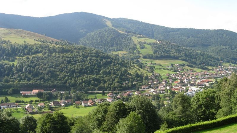
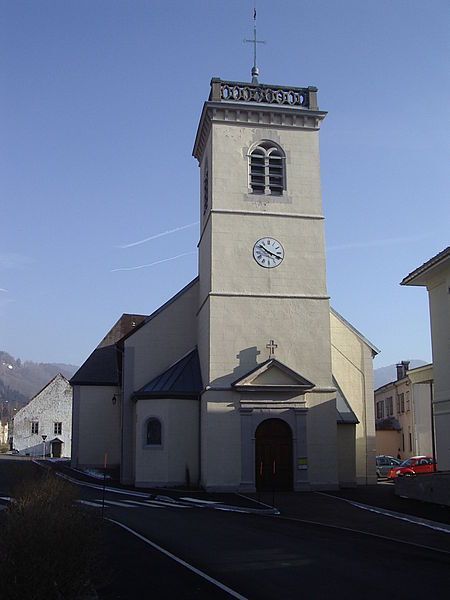
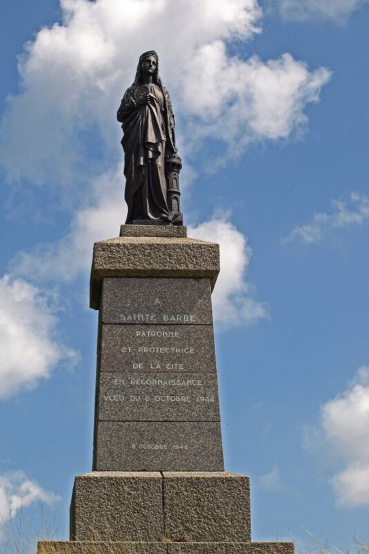

Facing the valley, take the small road to the right for 100 m and join a wide path marked by a green rectangle "Croix de Fresse". Stay on this path for about 2 km. You pass near the chalet of Croix de Fresse which offers a breathtaking view of Bussang. A little higher up is the Croix de Fresse pass (altitude 879 m). Then continue to the right along the path marked with a red circle. After 600 m, there is the possibility of detouring via the Tête des Révolles to discover a beautiful viewpoint. Continue always on the red circle path for 1.2 km. Pass in front of the Peut-Haut refuge and the memorial. Continue for 1.8 km to reach the wide Rochelotte plateau and its wooden chalet. Pass in front of the chalet and take the descending path marked with a green-white-green rectangle "Larcenaire". Descend for 1 km and arrive at a crossroads with the Col du Page road. Take the road to the right for 500 m, pass above the Azureva holiday village, then return to your vehicle. GPX track and detailed description of the route downloadable above.
Áno
Clothing suitable for the season and conditions (cold, hot, humid…)
Hiking boots suitable for the terrain (even for children!)
Hiking poles (useful for stability and to relieve joints)
Mobile phone and spare battery
Before departure:
Check the general and local weather, ensuring no precipitation
Get information about the approach walk, height of the itinerary, walking time, possible bailout (IGN map, GPS, guidebook, etc.)
Assess possible risks by consulting mountain professionals, refuges, lodges
Inform a close person of your objective and contact them in case of change: departure and return times, number of participants with each person's phone number, vehicle(s), parking
Avoid setting off alone, use equipment suitable for the activity, adjusted and in good condition, headlamp, complete first aid kit, survival blanket, etc.
In case of problem, call 112 (European emergency number)
Bussang 88540
www.fluo.eu
Free parking
Bussang Tourist Office

Obľúbené výlety v okolí
-
5,0
Discovery trail circuit at the Ballon d'Alsace
strednáTuristika 2,69 km -
5,0
Felsach farm-inn walk "Towards a nature sanctuary"
strednáTuristika 6,81 km -
5,0
The lake of Crows
strednáTuristika 5,65 km -
Schafert Farmhouse Walk "Towards a 360 degree high view"
strednáTuristika 5,49 km -
4,5
Heindenbad - Église Saints-Pierre-et-Paul - Schlossberg - Vorderer Rain
strednáTuristika 12,0 km -
Crossing of the Vosges Massif - Stage 17 - Thann - Ballon d'Alsace
ťažkédiaľková pešia trasa 27,8 km -
Farm-Auberge Grand Langenberg walk "Towards the wild forests of the Ballon d'Alsace"
strednáTuristika 6,93 km -
Crossing of the Vosges Massif - Stage 18 - Ballon d'Alsace - Giromagny
strednádiaľková pešia trasa 11,6 km -
Ride Farmhouse-Inn des Prenzières - On the way to the summer pasture
strednáTuristika 4,94 km -
5,0
HIKING - THE STATUE OF SAINTE BARBE VIA THE ROCHES DU SABBAT
strednáTuristika 10,1 km
Turistika a stopovanie


Nenechajte si ujsť ponuky a inšpiráciu na ďalšiu dovolenku
Vaša e-mailová adresa bol pridaný do poštového zoznamu.





