






Family route: Lakes of Sewen and Lake Alfeld
Úroveň náročnosti: T1

see route
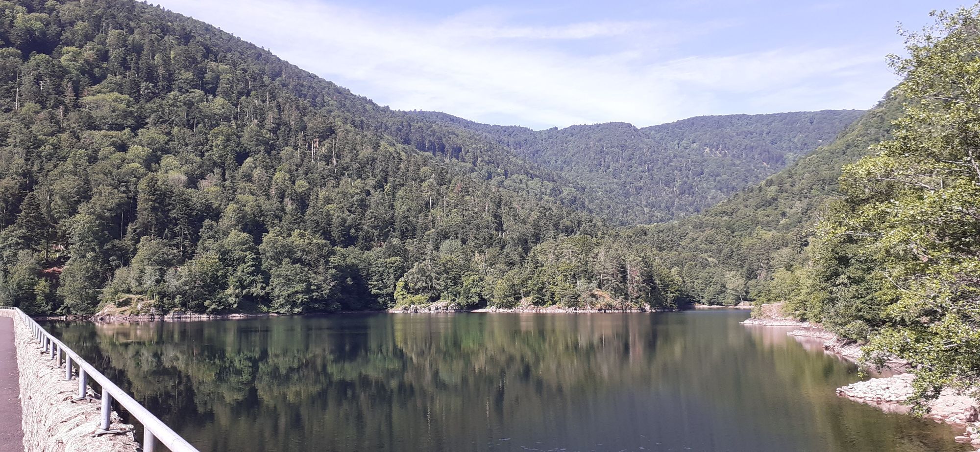
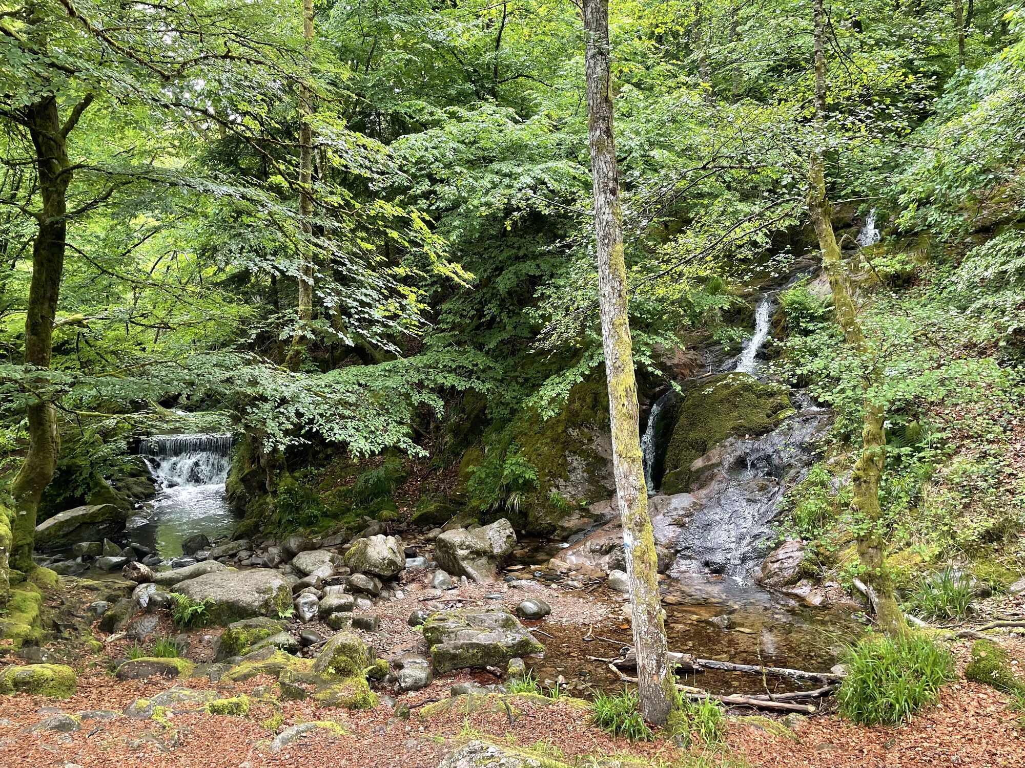
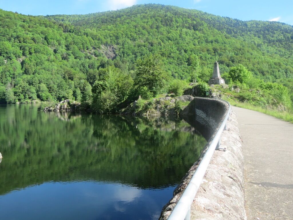
From the parking next to the church, on the Fontaine square, head towards Le Ballon d'Alsace. After about 150m, cross the bridge to the right and follow the "Lake trail" direction. Then take the path on the left and follow the indication "Lac d'Alfeld" (blue rectangle marking). The path quickly reaches the shores of Lake Sewen, then continues several hundred meters towards Lake Alfeld. Take the final climb to access the dam by following the blue rectangles and the direction of Alfeld. Enjoy the view of the waterfalls (observe safety instructions). At the last intersection, do not follow the blue rectangles inviting you to take the path to the right, but take left and continue to the dam, located about 100m away. At the other end of the dam, you can eat or drink at the Auberge du Lac.
For the return, simply retrace your steps and follow the "Sewen" sign at the end of the route.
Reference IGN map 3520 OT available in tourist offices.
Áno
Áno
Áno
Clothing adapted to the season and conditions (cold, hot, humid…)
Hiking shoes suitable for the terrain (even for children!)
Trekking poles (useful for stability and to relieve joints)
Mobile phone and spare battery
Check general and local weather ensuring absence of precipitation. Inform yourself about the approach walk, height of the route, duration, possible bailout (IGN map, GPS, guidebook, etc.)
Assess possible risks by consulting mountain professionals, refuge, lodgings
Inform a close one of your objective and contact them in case of change: departure and return times, number of participants with each phone number, vehicle(s), parking
Avoid going alone, use equipment suitable for the activity, adjusted and in good condition, headlamp, complete first aid kit, survival blanket, etc.
In case of emergency, call 112.
Sewen (68)
www.fluo.eu
Free parking on site
T1
TOURIST OFFICE of the Doller Valley
2 rue du Maréchal de Lattre de Tassigny
68290 MASEVAUX-NIEDERBRUCK
Tel.: 03 89 82 41 99
ot.masevaux@cc-vallee-doller.fr
Získajte prehľad
Vždy naživo na mieste s viac ako 9 500 webovými kamerami. bergfex Ako používateľ Pro si teraz môžete pozrieť príslušné webové kamery pre mnohé zájazdy v aplikácii zájazdy z. Môžete si tak priamo prezerať aktuálne podmienky.
Obľúbené výlety v okolí
-
5,0
Discovery trail circuit at the Ballon d'Alsace
strednáTuristika 2,69 km -
Felsach farm-inn walk "Towards a nature sanctuary"
strednáTuristika 6,81 km -
Crossing of the Vosges Massif - Stage 17 - Thann - Ballon d'Alsace
ťažkédiaľková pešia trasa 27,8 km -
The Thannerhubel at Bourbach-le-Haut
strednáTuristika 7,32 km -
Walk at Bruckenwald Farmhouse Inn "On the old border"
strednáTuristika 6,41 km -
5,0
HIKING - THE STATUE OF SAINTE BARBE VIA THE ROCHES DU SABBAT
strednáTuristika 10,1 km -
Crossing of the Vosges Massif - Stage 18 - Ballon d'Alsace - Giromagny
strednádiaľková pešia trasa 11,6 km -
Farm-Auberge Grand Langenberg walk "Towards the wild forests of the Ballon d'Alsace"
strednáTuristika 6,93 km -
Walk Farm-Auberge Baerenbach "Along the three streams"
strednáTuristika 4,78 km -
Lochberg Farm Inn Route - Walk accompanied by centenary beeches
strednáTuristika 3,64 km
Turistika a stopovanie


Nenechajte si ujsť ponuky a inšpiráciu na ďalšiu dovolenku
Vaša e-mailová adresa bol pridaný do poštového zoznamu.





