







The water trail

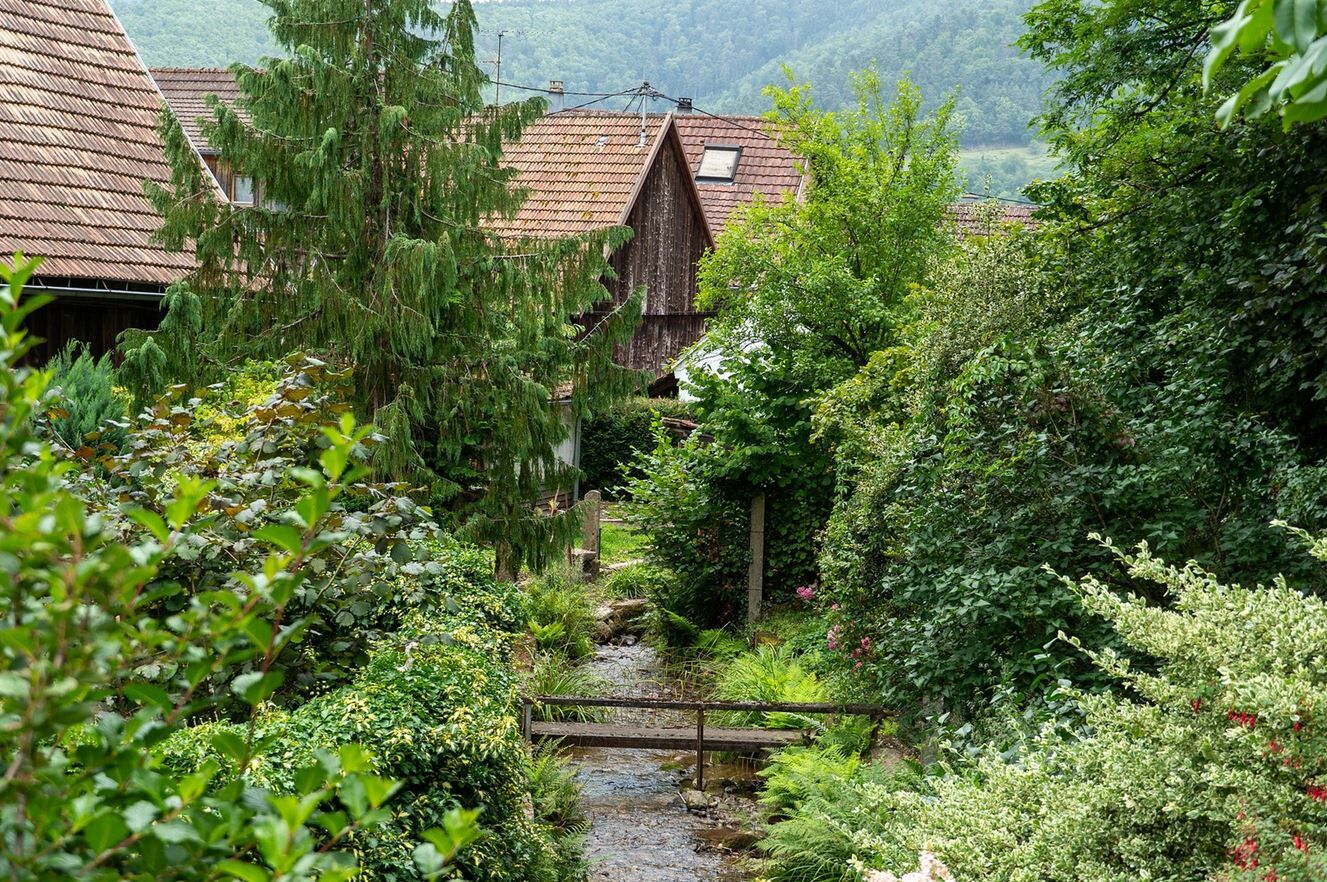
Departure at the Fecht bridge, towards the campsite - arrival at the Gunsbach town hall.


Áno
Hiking shoes suitable for the terrain (even for children!)
Telescopic poles (useful for stability and to relieve joints)
Mobile phone and spare battery if needed
Check the general and local weather ensuring no precipitation
Find out about the approach walk, elevation of the route, duration, possible escape routes (IGN map, GPS, guidebook, etc...)
Assess possible risks by consulting mountain professionals, refuge, lodgings
Inform someone close to your goal and contact them in case of changes: departure and return times, number of participants with each phone number, vehicle(s), parking
Avoid going alone, use equipment suitable for the activity, adjusted and in good condition, headlamp, complete first aid kit, survival blanket, etc...
In case of emergency, call 112
Gunsbach (68)
www.fluo.eu
Free parking on site
Obľúbené výlety v okolí
-
4,3
Hiking route - the circuit of the 3 lakes
strednáTuristika 12,7 km -
5,0
Le tétras bistrot - Hohneck - Chapelle Notre-Dame-des-Chaumes - Brasserie de la Schlucht
ťažkéTuristika 10,7 km -
4,6
Eguisheim zu den 3 Burgen
strednáTuristika 7,90 km -
5,0
Vogesen Col de la Schlucht
ťažkéTuristika 19,3 km -
Tour de l'Altenweiher et Rainkopf, Mittlach, France
strednáTuristika 12,6 km -
4,3
From the Schlucht to the Hohneck
strednáTuristika 8,21 km -
4,8
Longemer Col des Feignes Walk
strednáTuristika 8,83 km -
4,7
The Lac Blanc ridge
svetloTuristika 5 km -
Bike route: BL128 - Around Colmar, capital of Alsace wines
svetloCyklistika 23,3 km -
5,0
Hiking route: The Wormsa waterfalls and Fischboedle lake
strednáTuristika 8,15 km

Turistika a stopovanie


Nenechajte si ujsť ponuky a inšpiráciu na ďalšiu dovolenku
Vaša e-mailová adresa bol pridaný do poštového zoznamu.





