







72 Prättigauer Höhenweg: In 4 days from Klosters into the Bündner Herrschaft (4 stages)
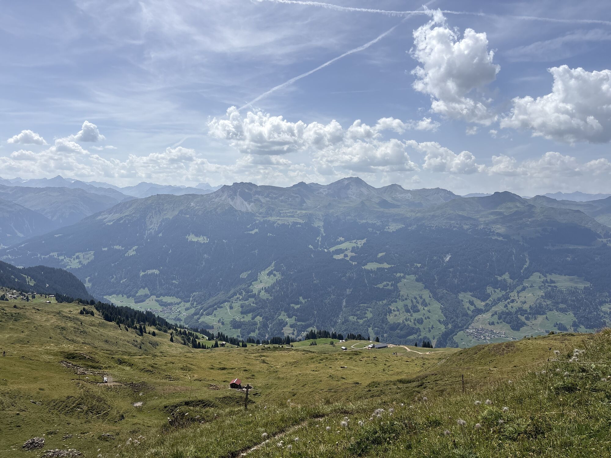
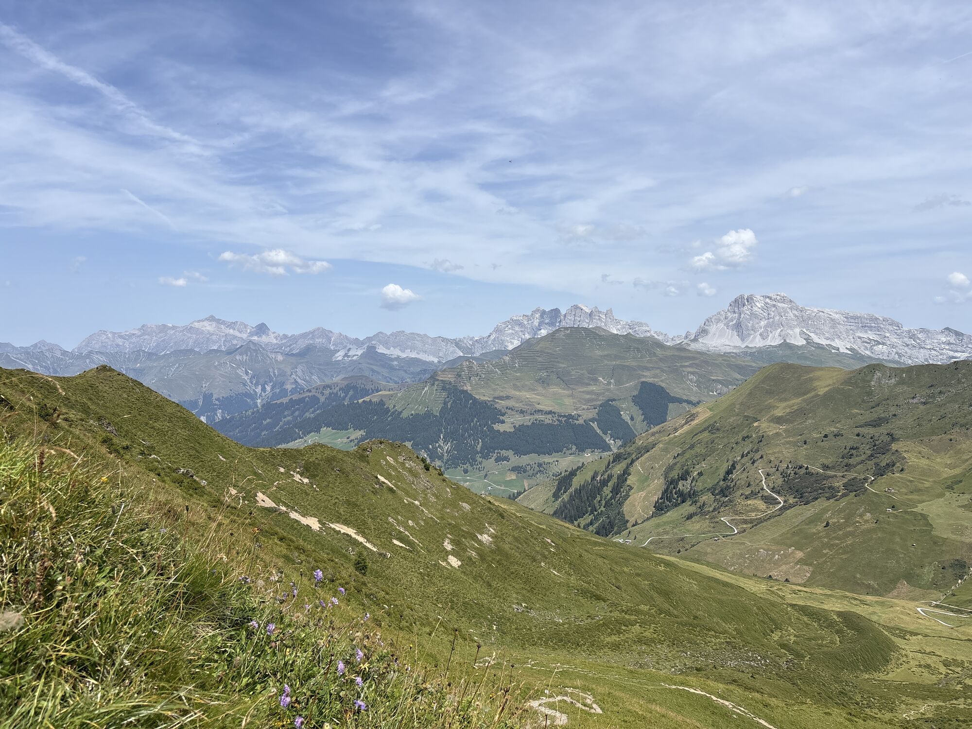
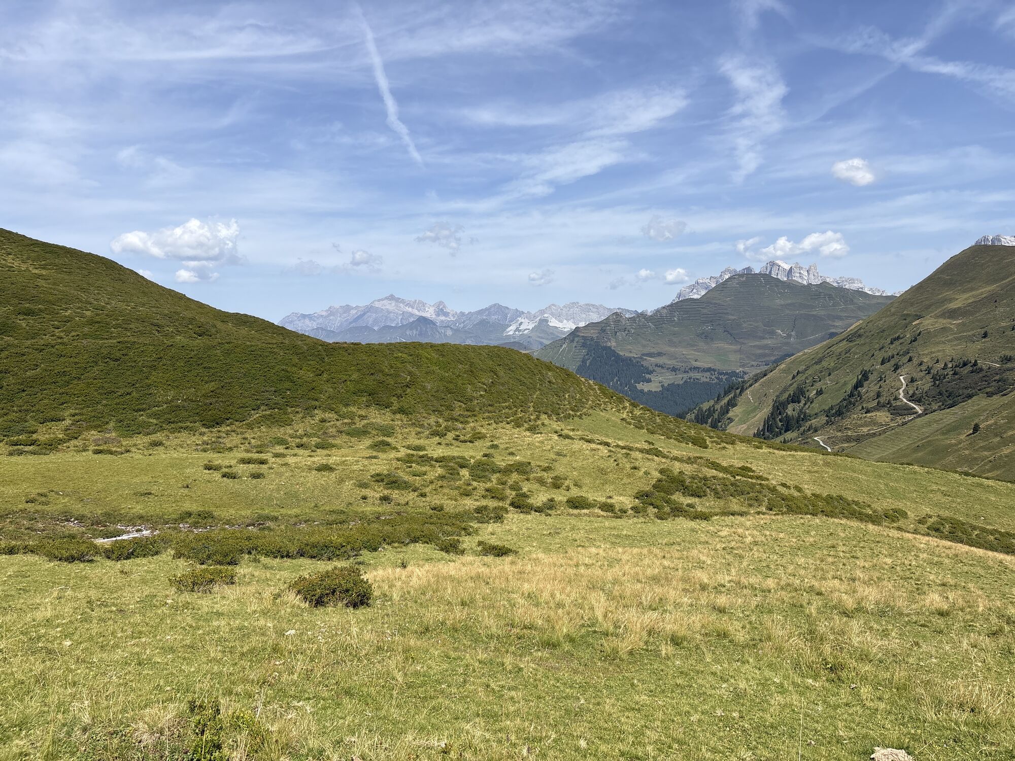
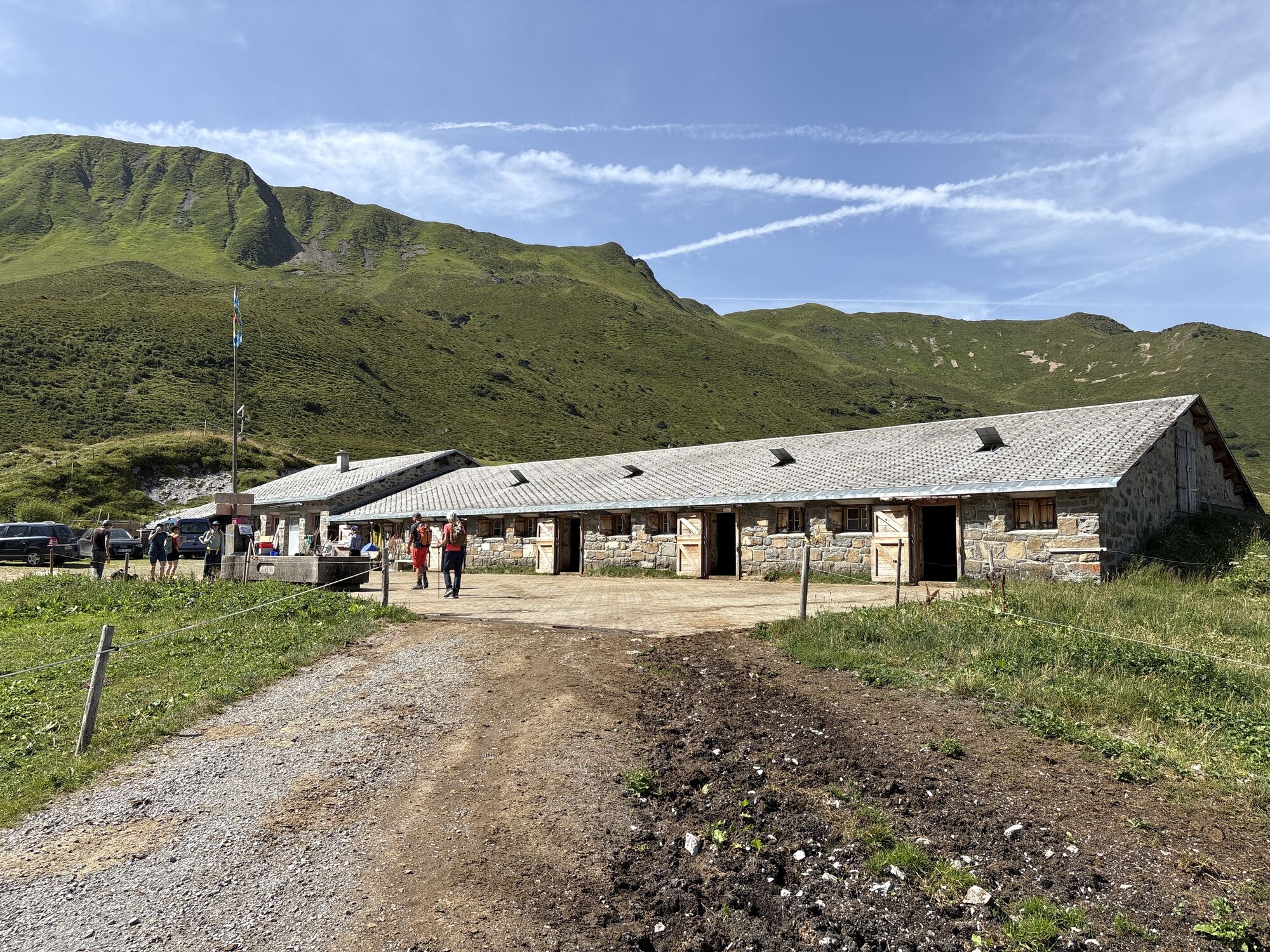
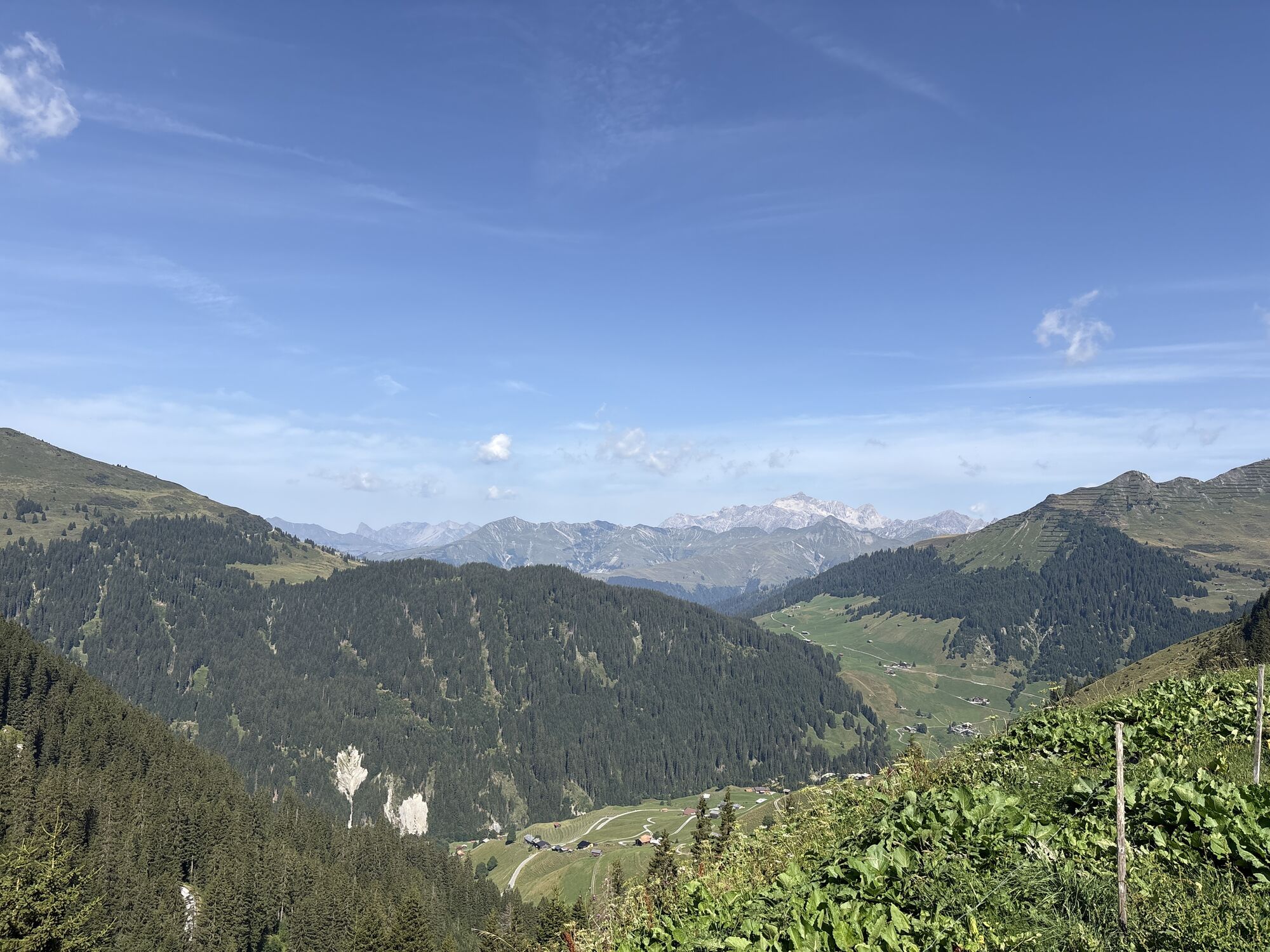
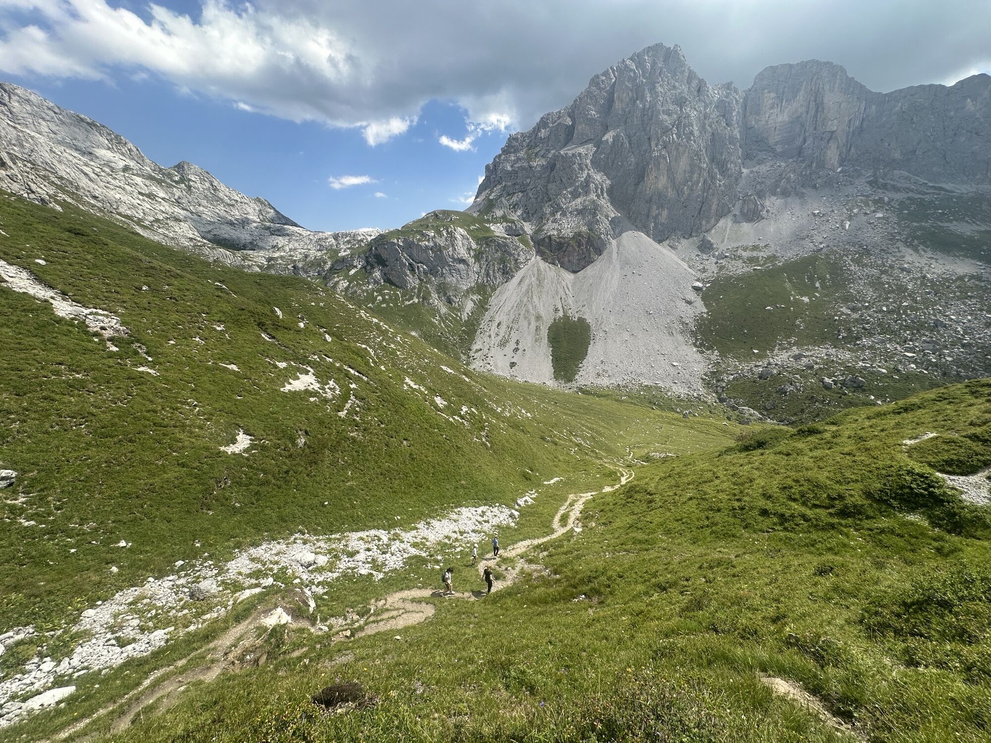
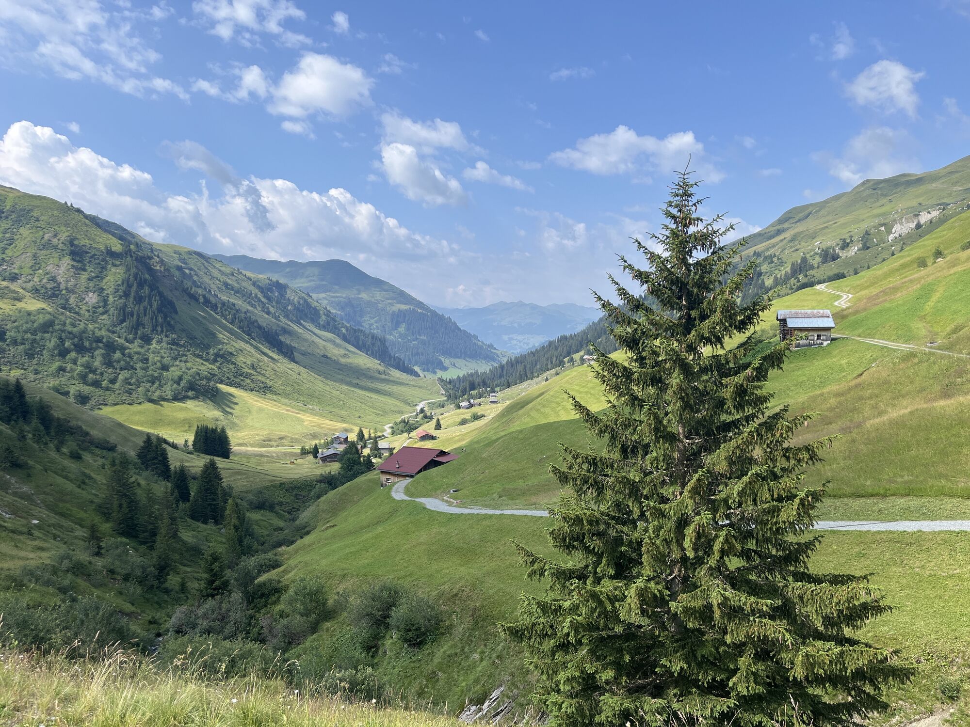
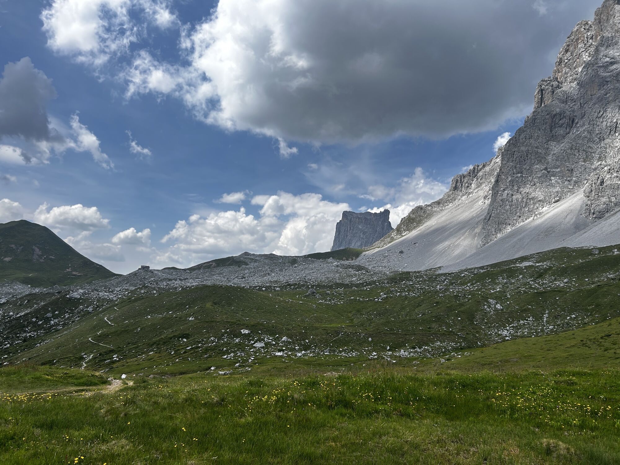
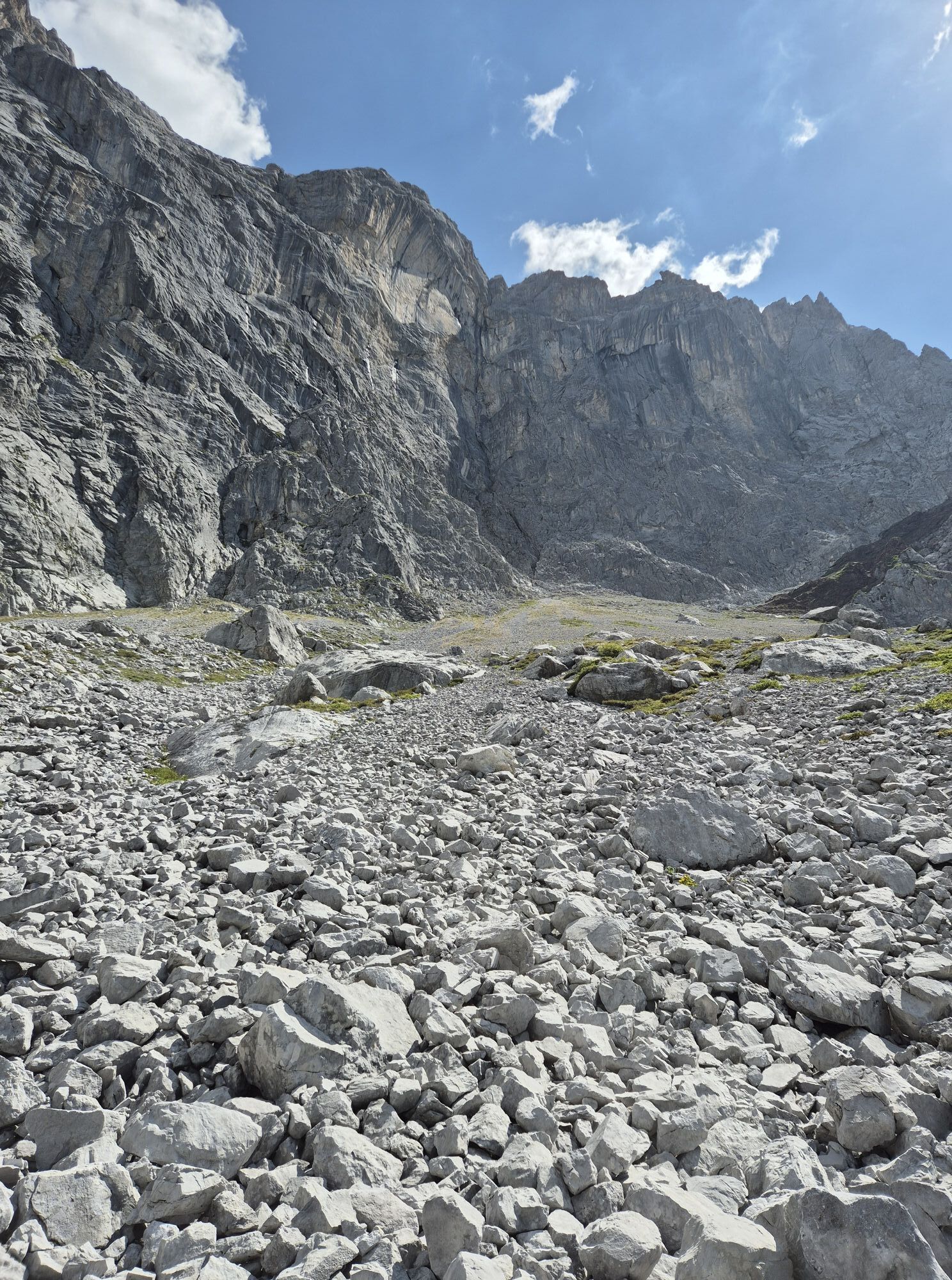
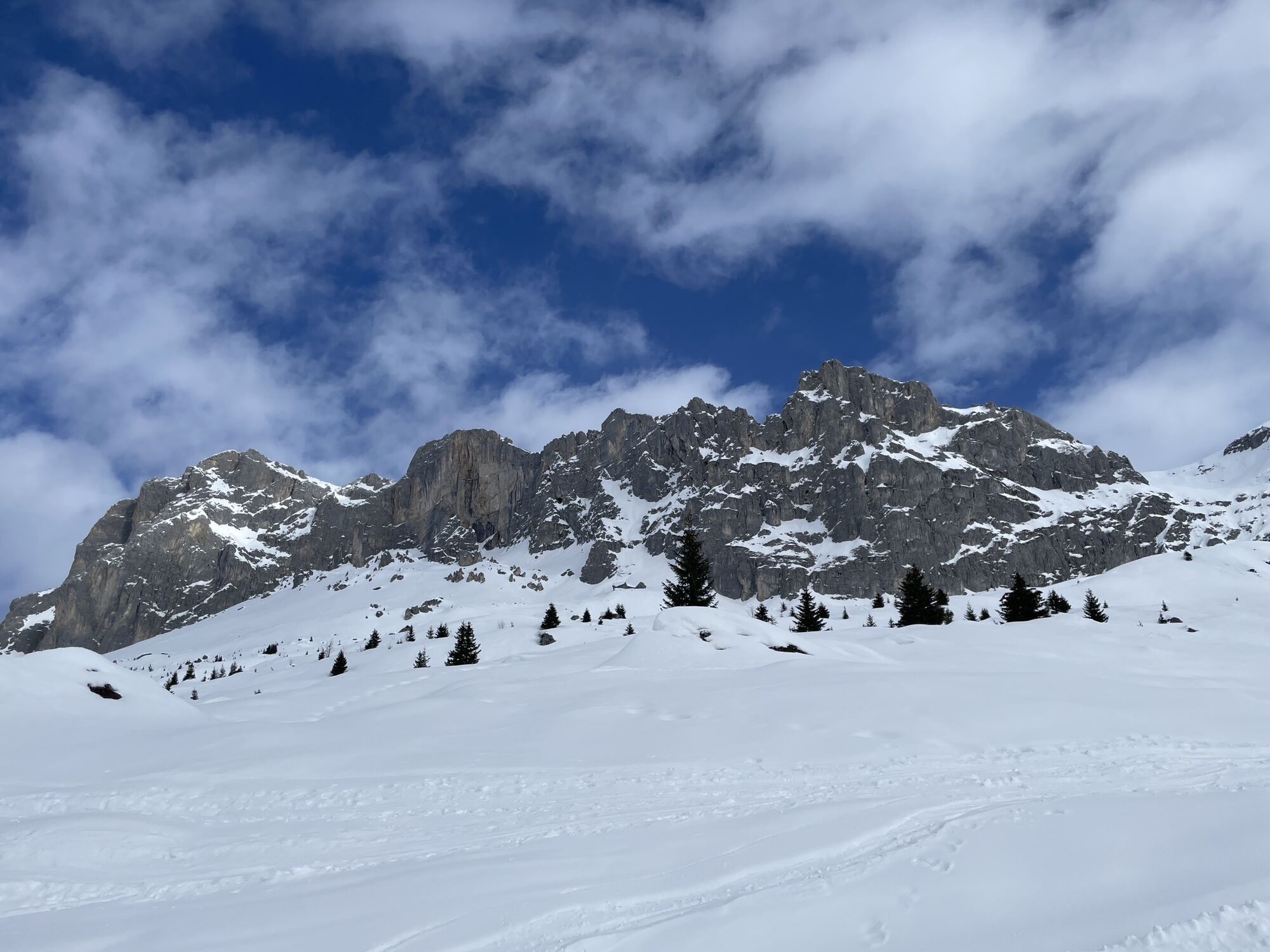
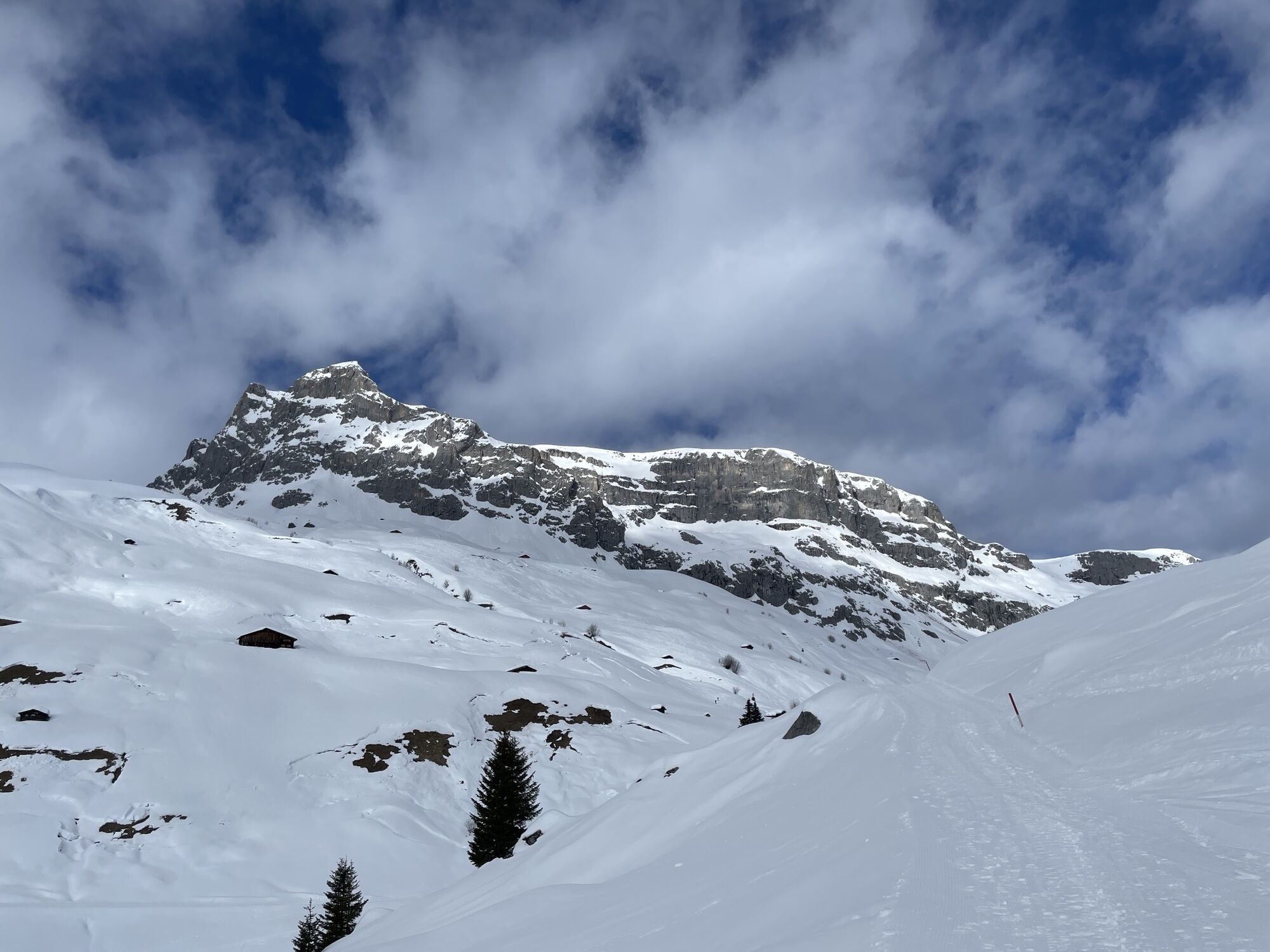
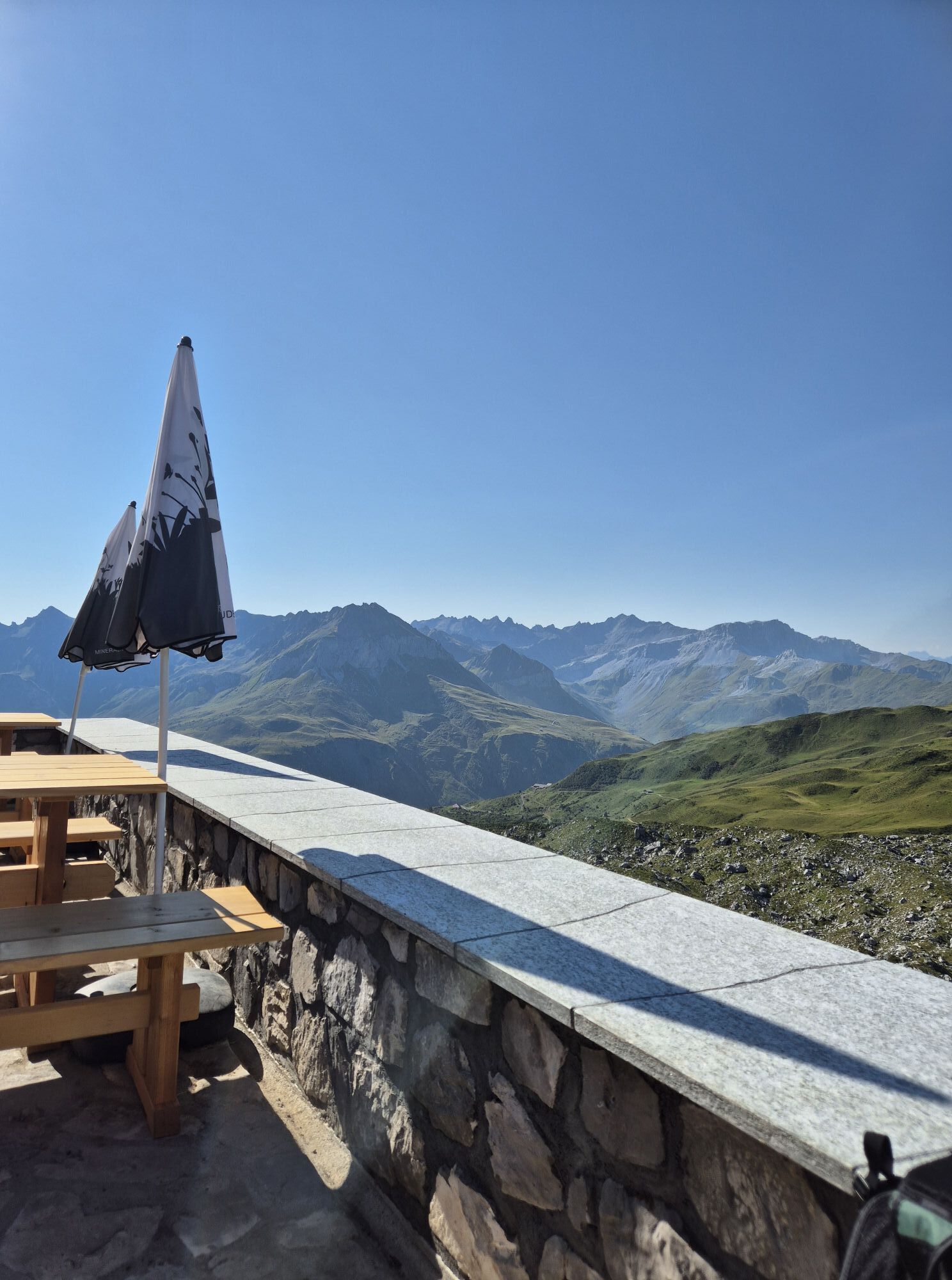
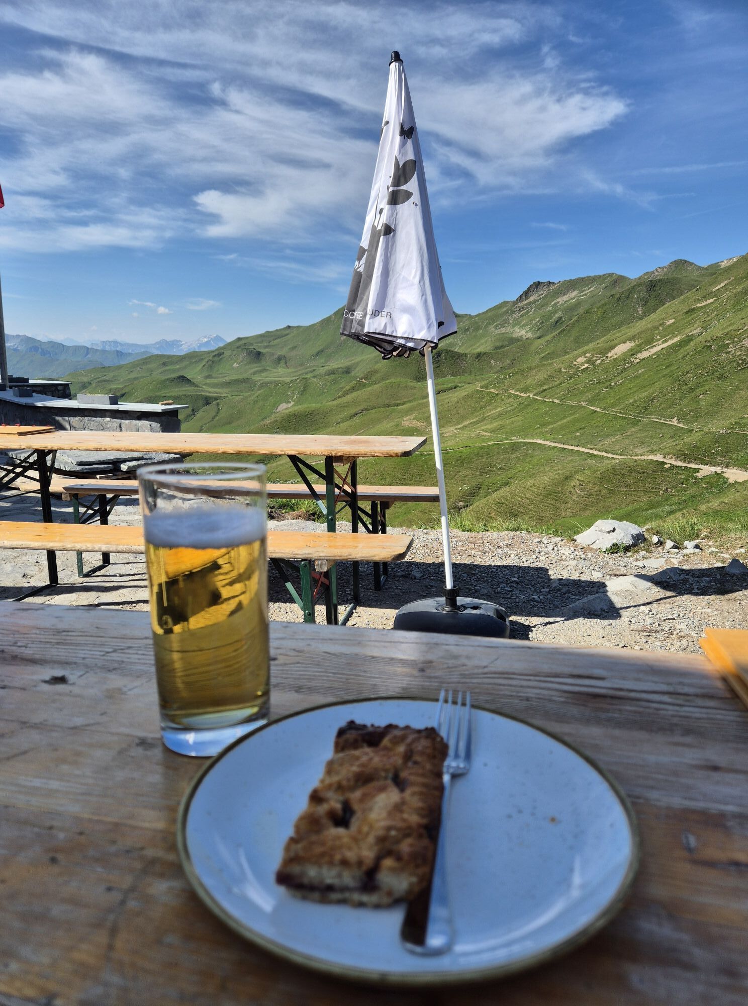
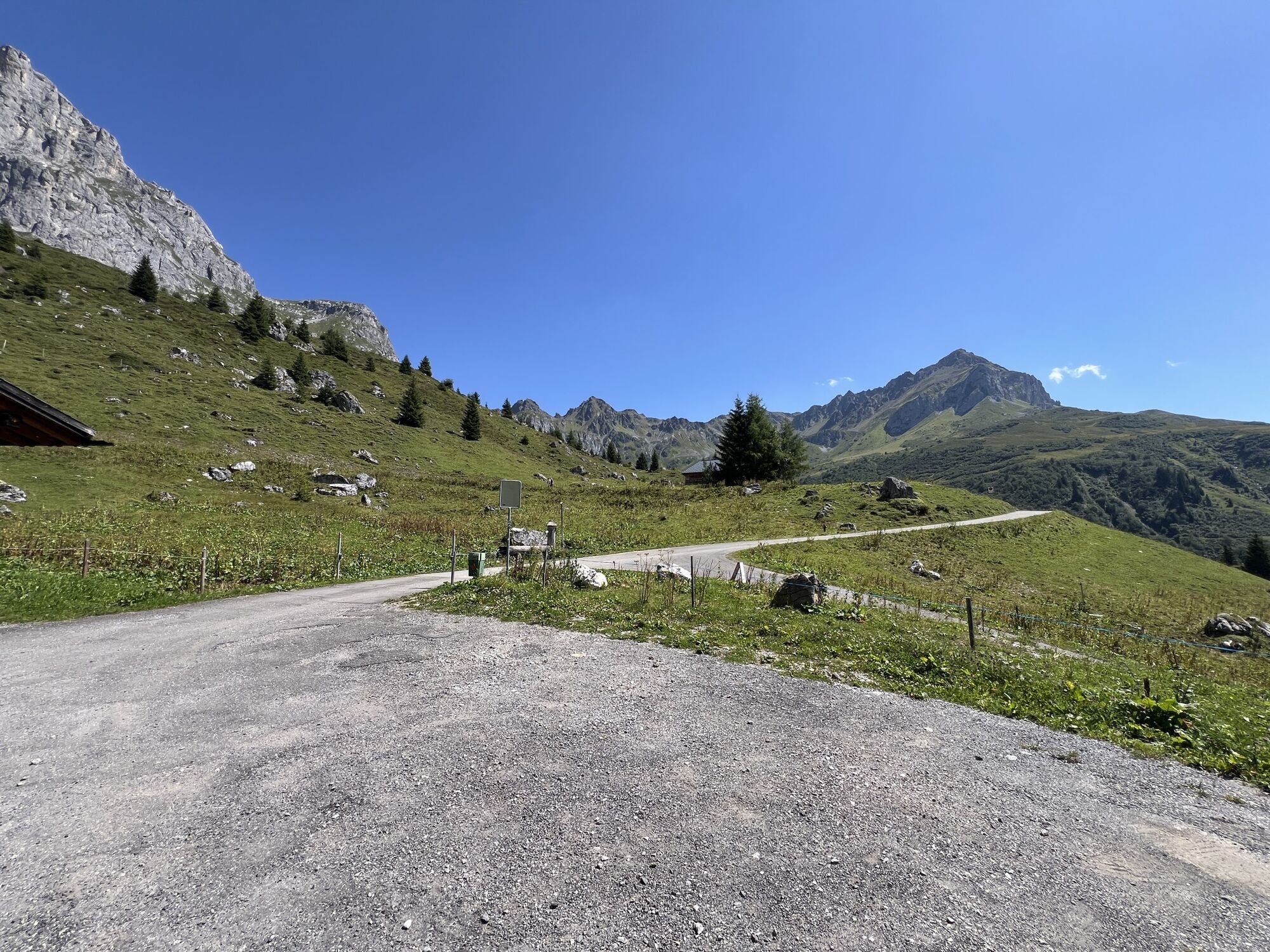
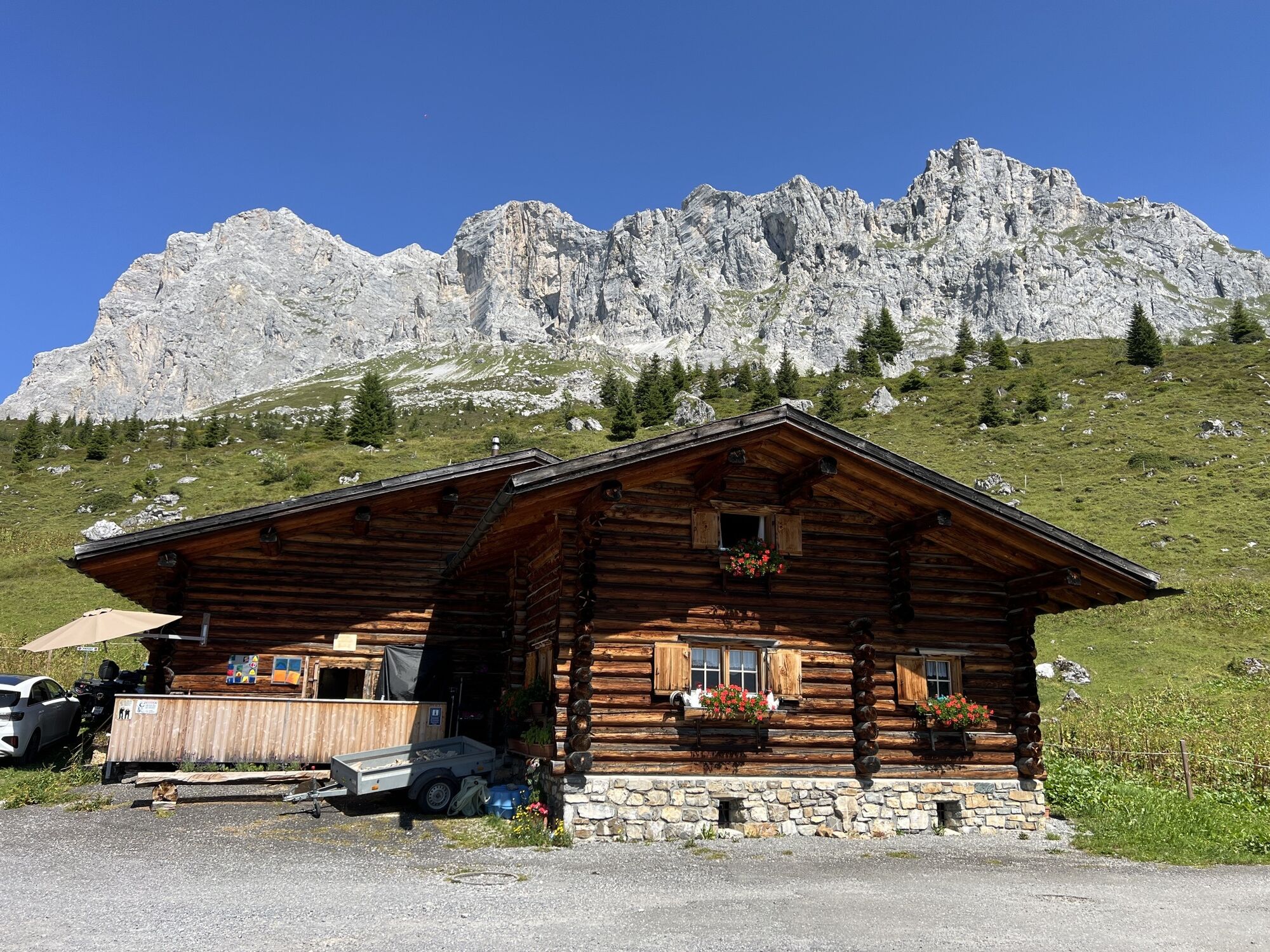
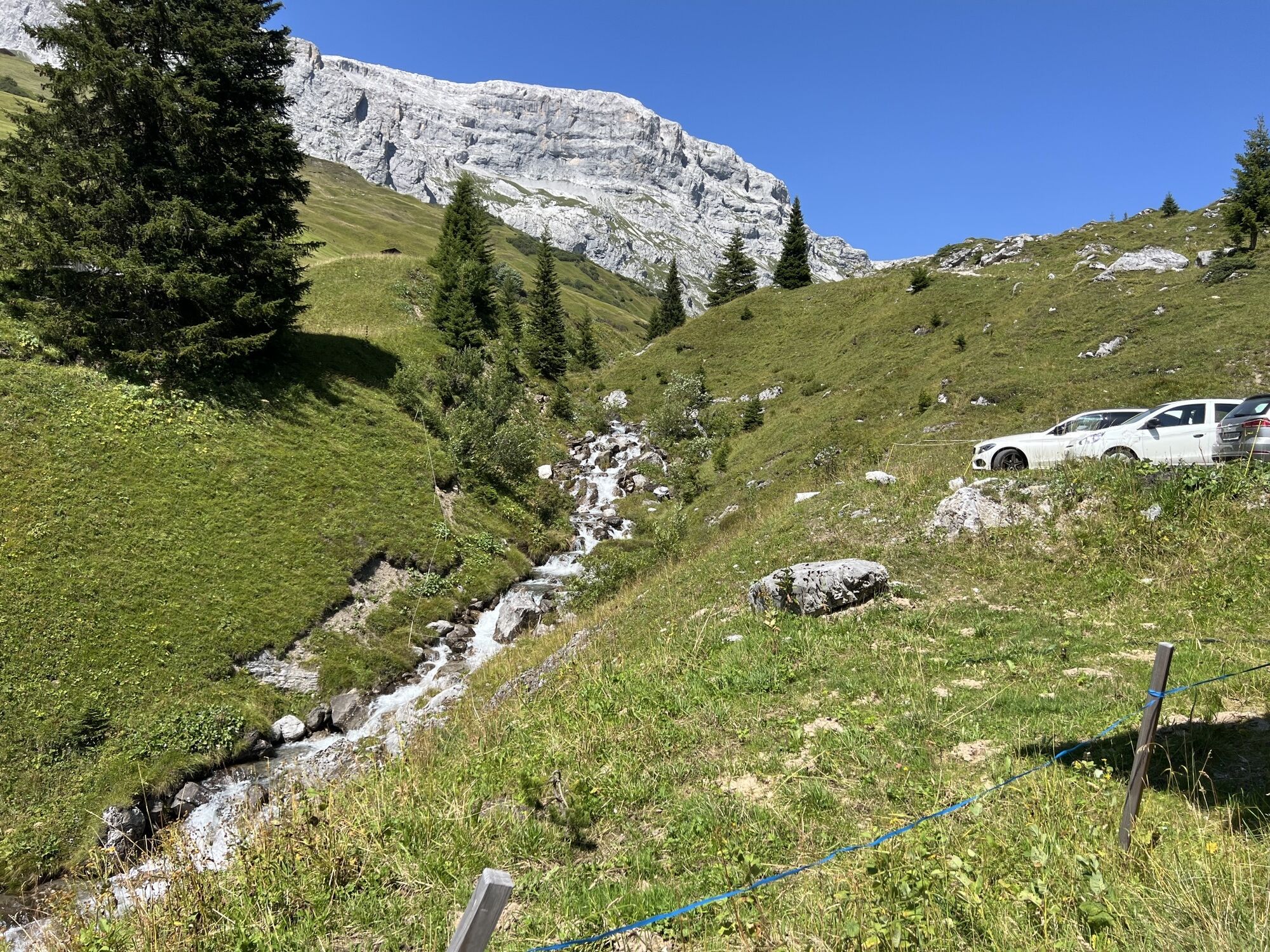
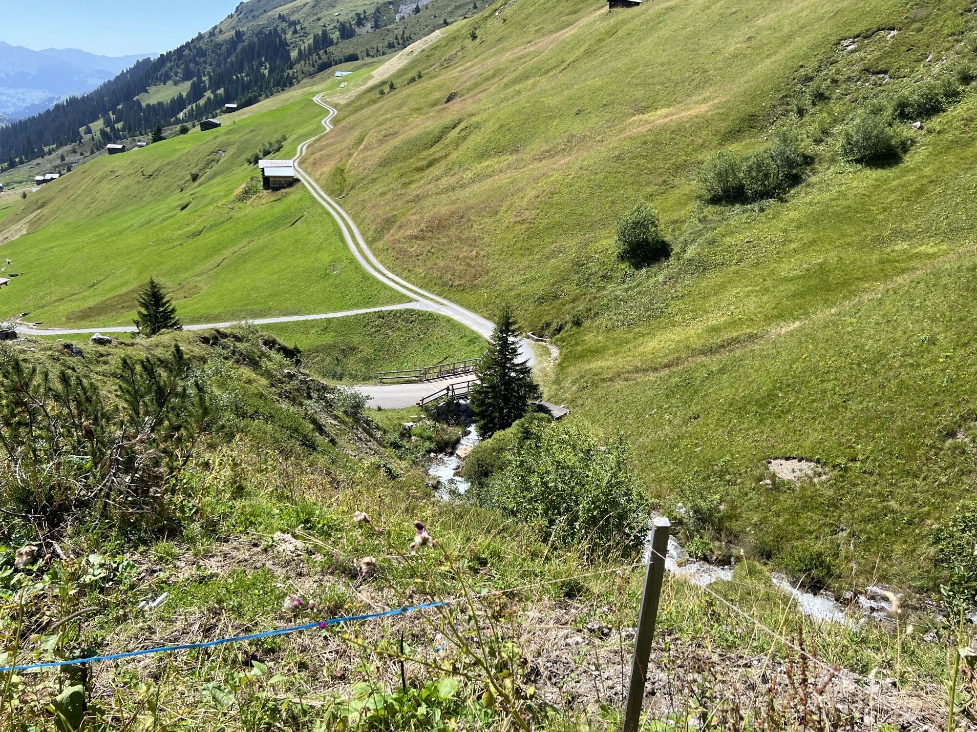
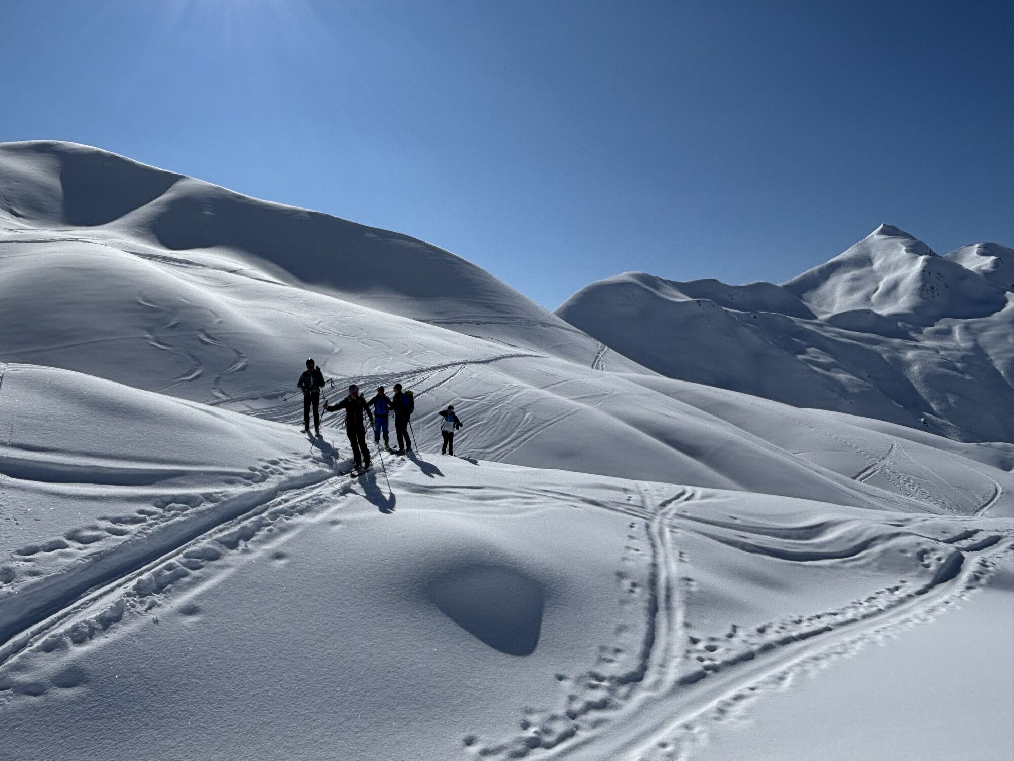
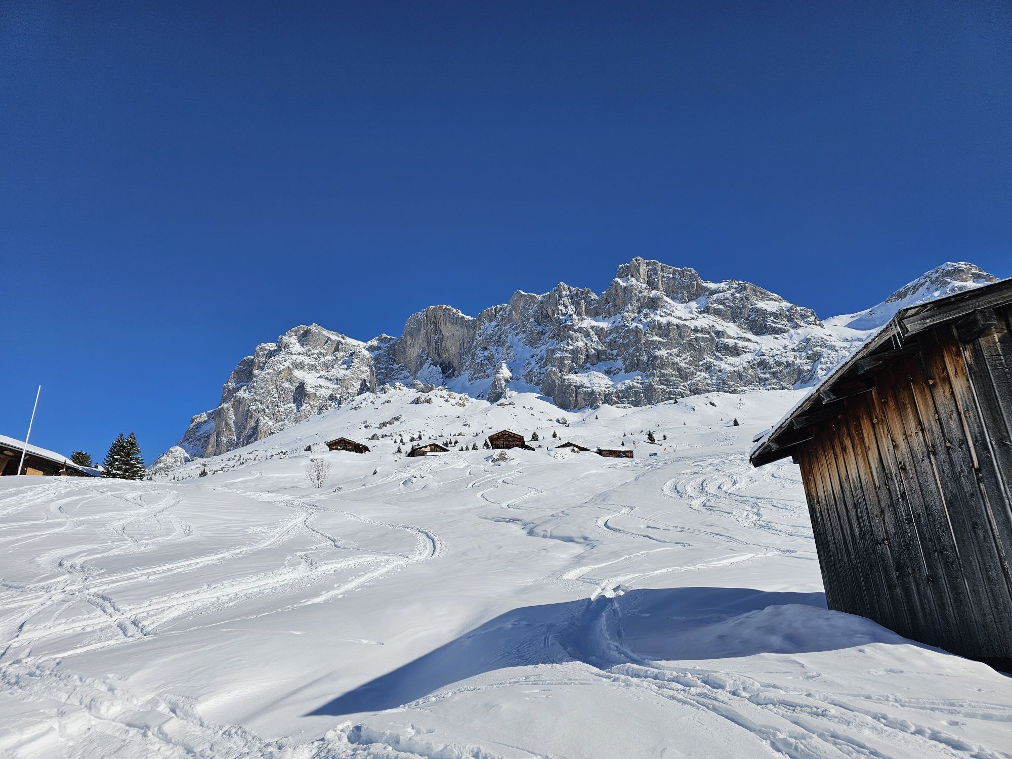
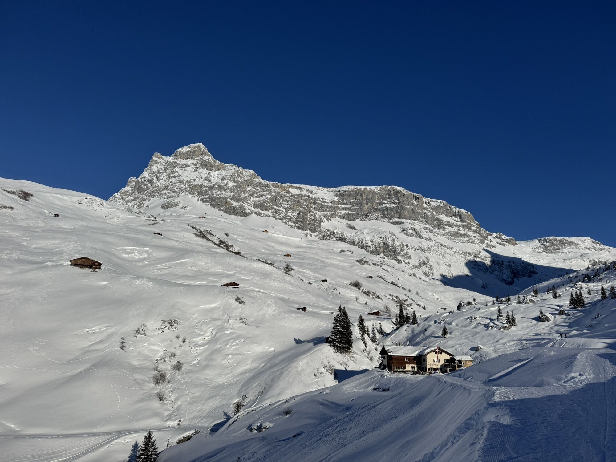
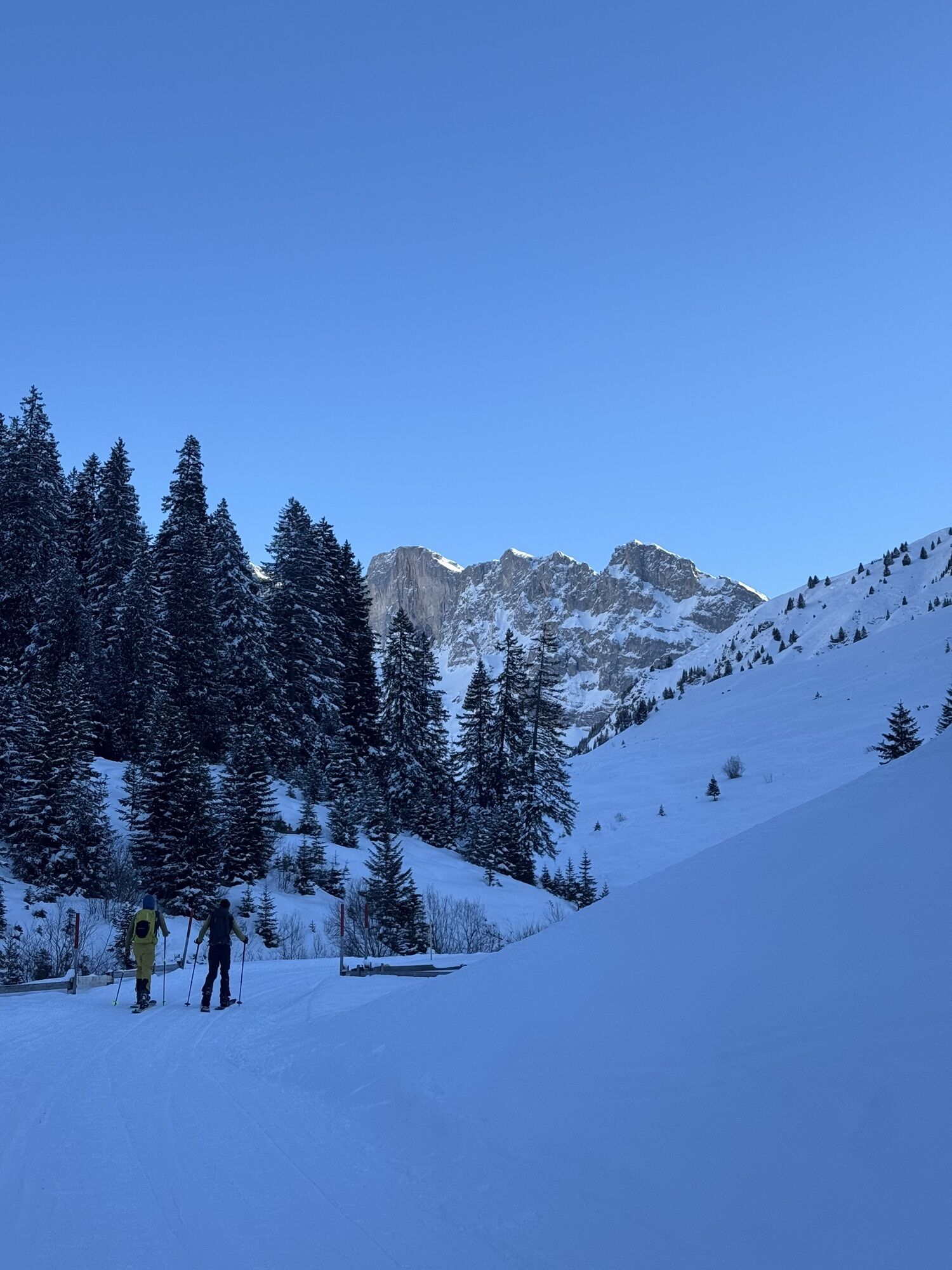
The Prättigauer Höhenweg lives up to its name perfectly: Hike for four days along the contour lines, with the limestone backdrop of the Rätikon on one side and ever-changing views on the other. The route...
The Prättigauer Höhenweg lives up to its name perfectly: Hike for four days along the contour lines, with the limestone backdrop of the Rätikon on one side and ever-changing views on the other. The route is also quite suitable as a family route. Please note the type of accommodation (dormitory in the mountain huts) and the length of the route. With some additional summit ascents, the hike also brings a lasting smile to the face of ambitious mountain hikers. Promise.
Book the Prättigauer Höhenweg including overnight stays with just a few clicks
Stages:
Stage 1: Klosters - St. Antönien Stage 2: St. Antönien - Carschinahütte SAC Stage 3: Carschinahütte SAC - Schesaplanahütte SAC Stage 4: Schesaplanahütte SAC - Landquart
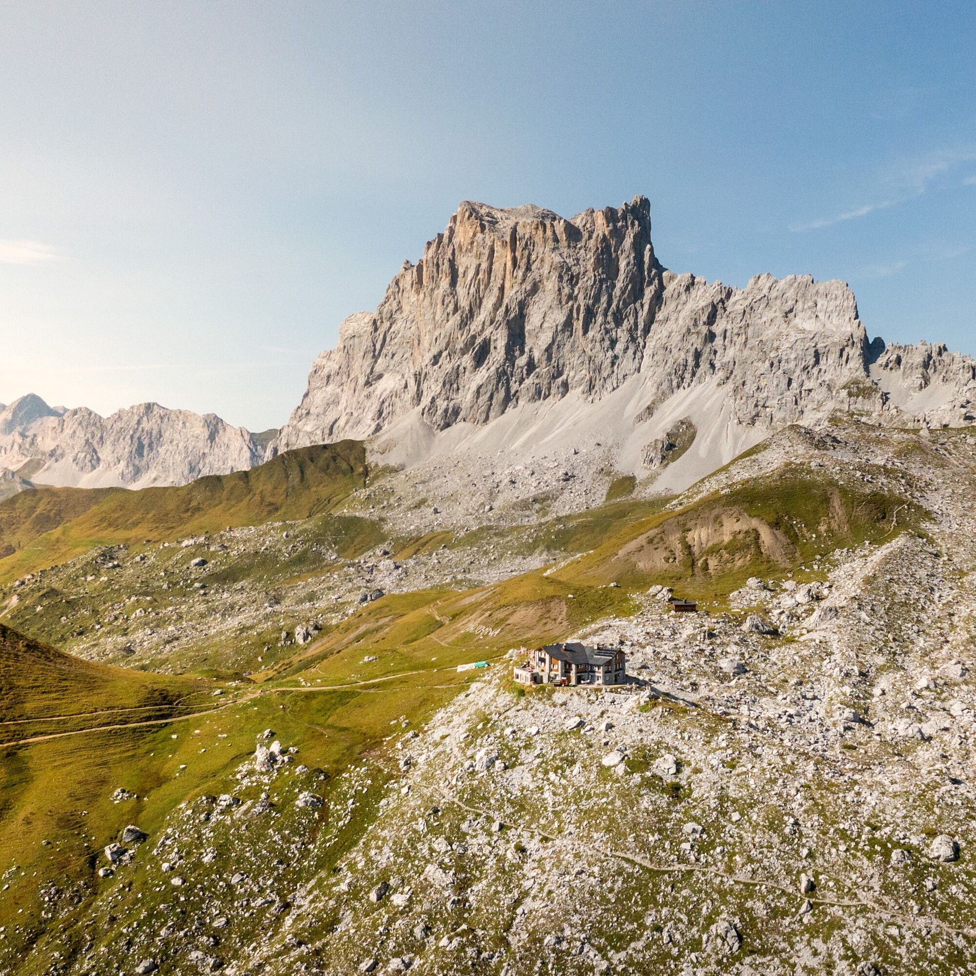
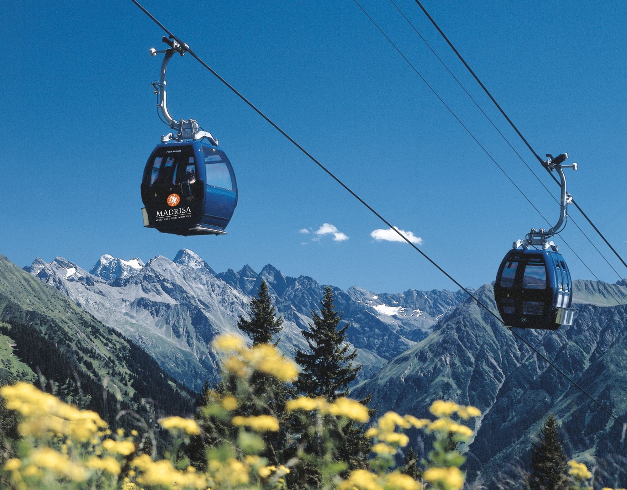
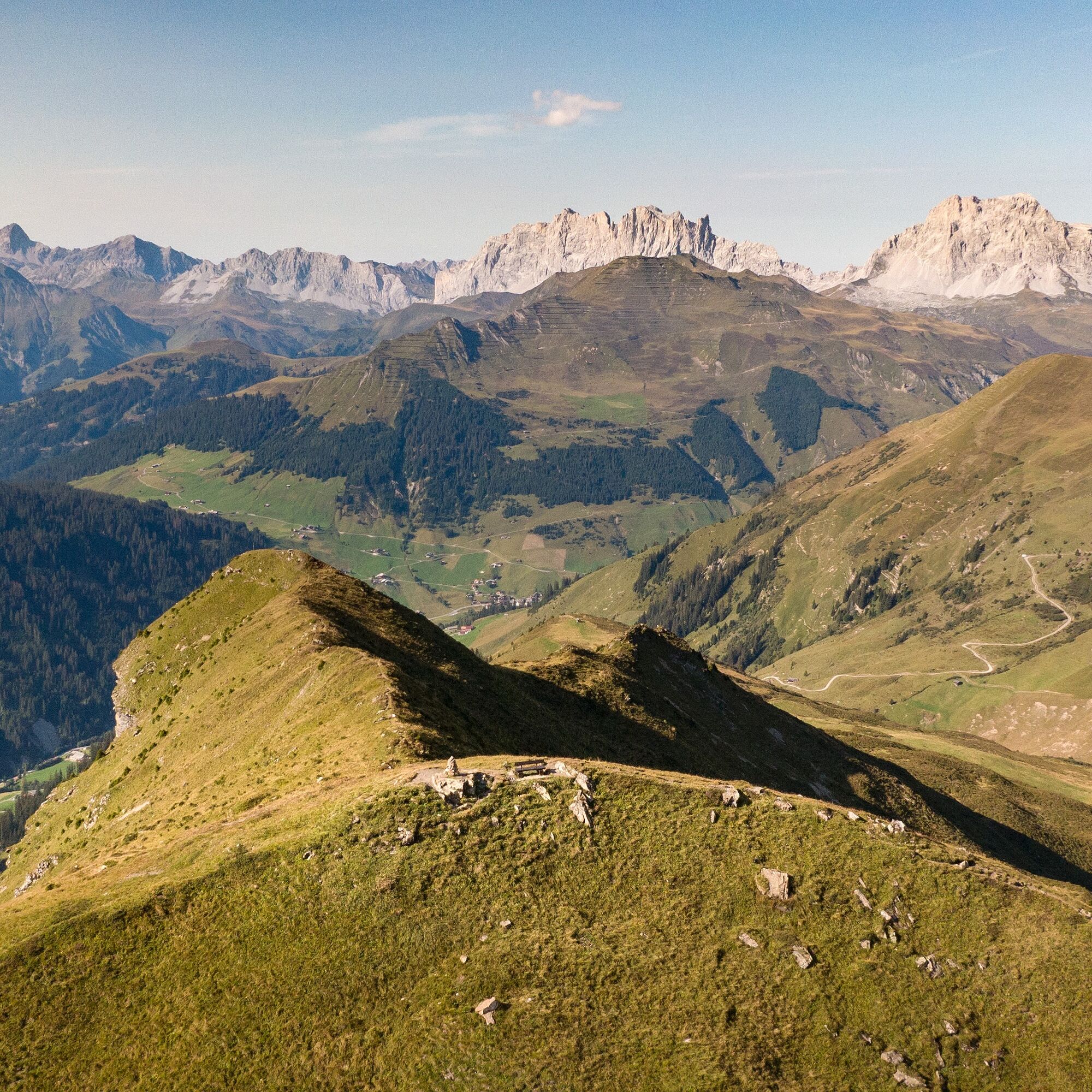
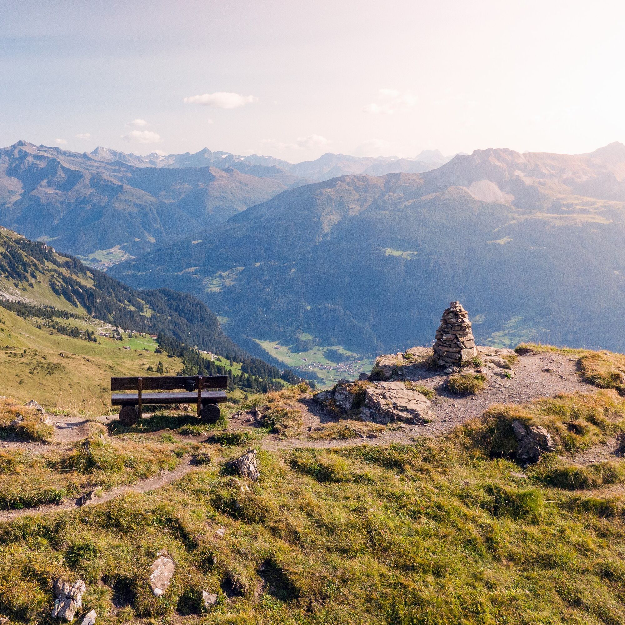

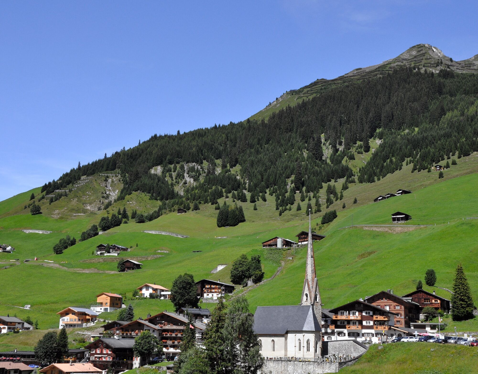
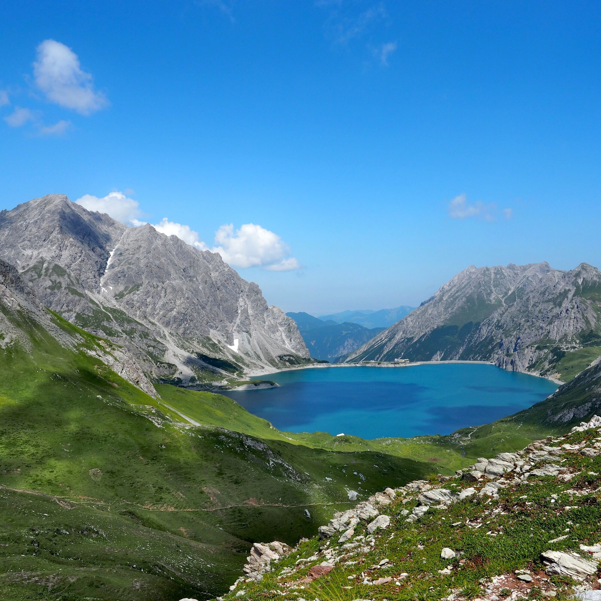
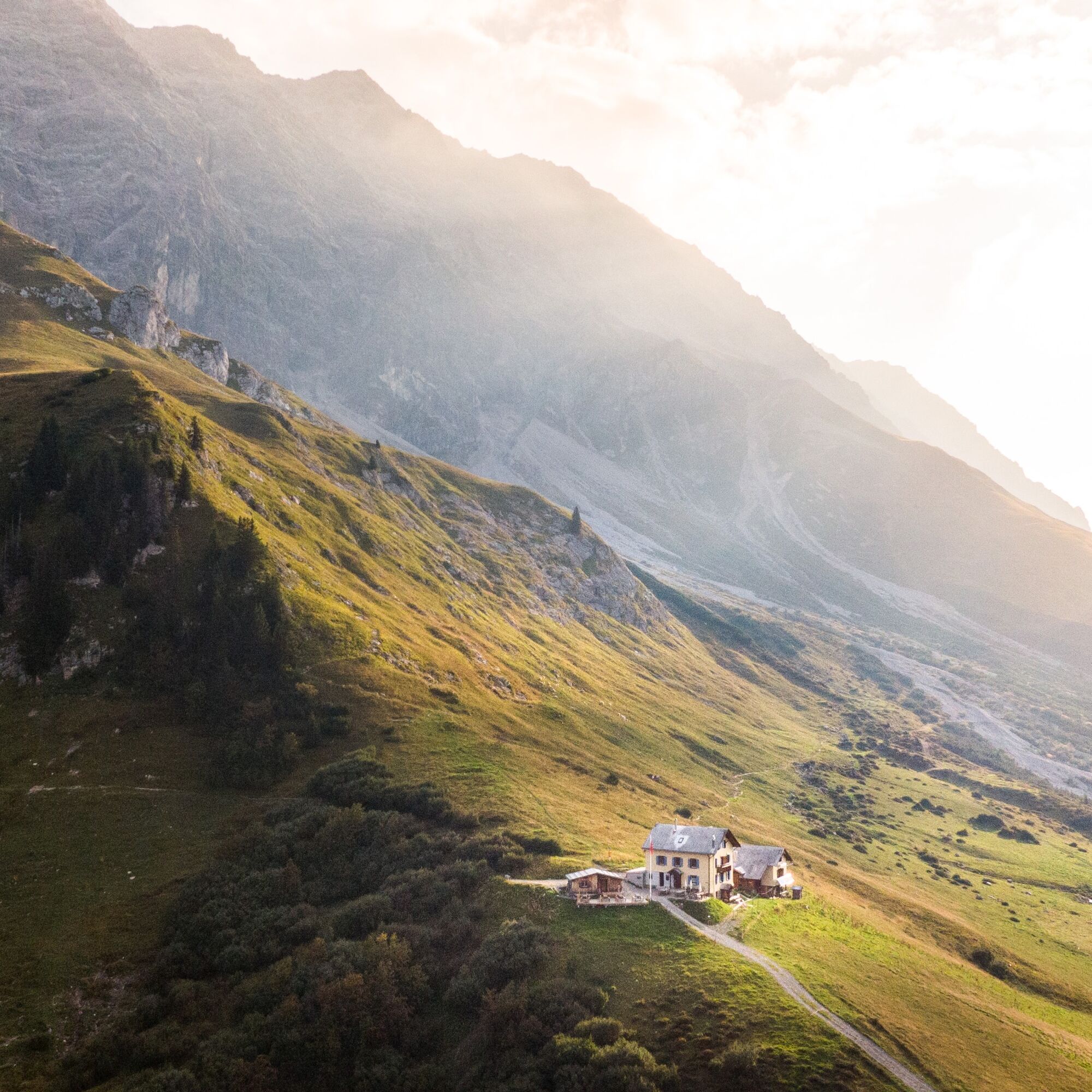
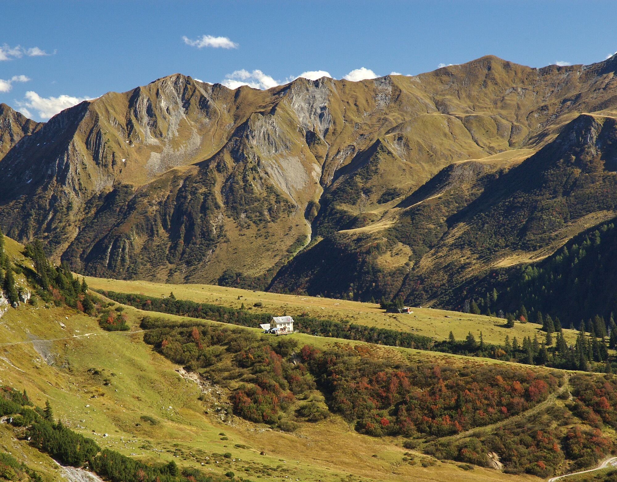

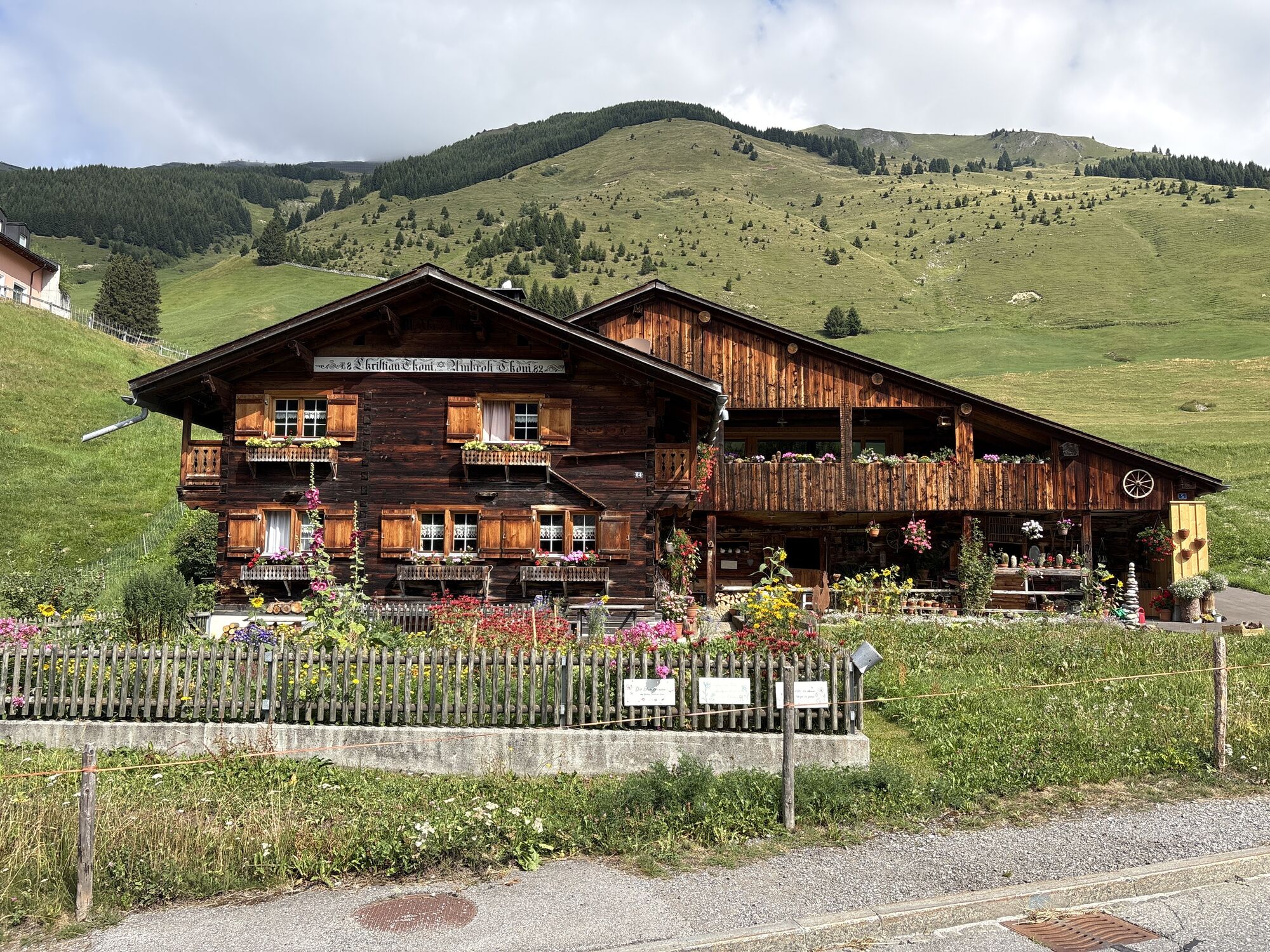
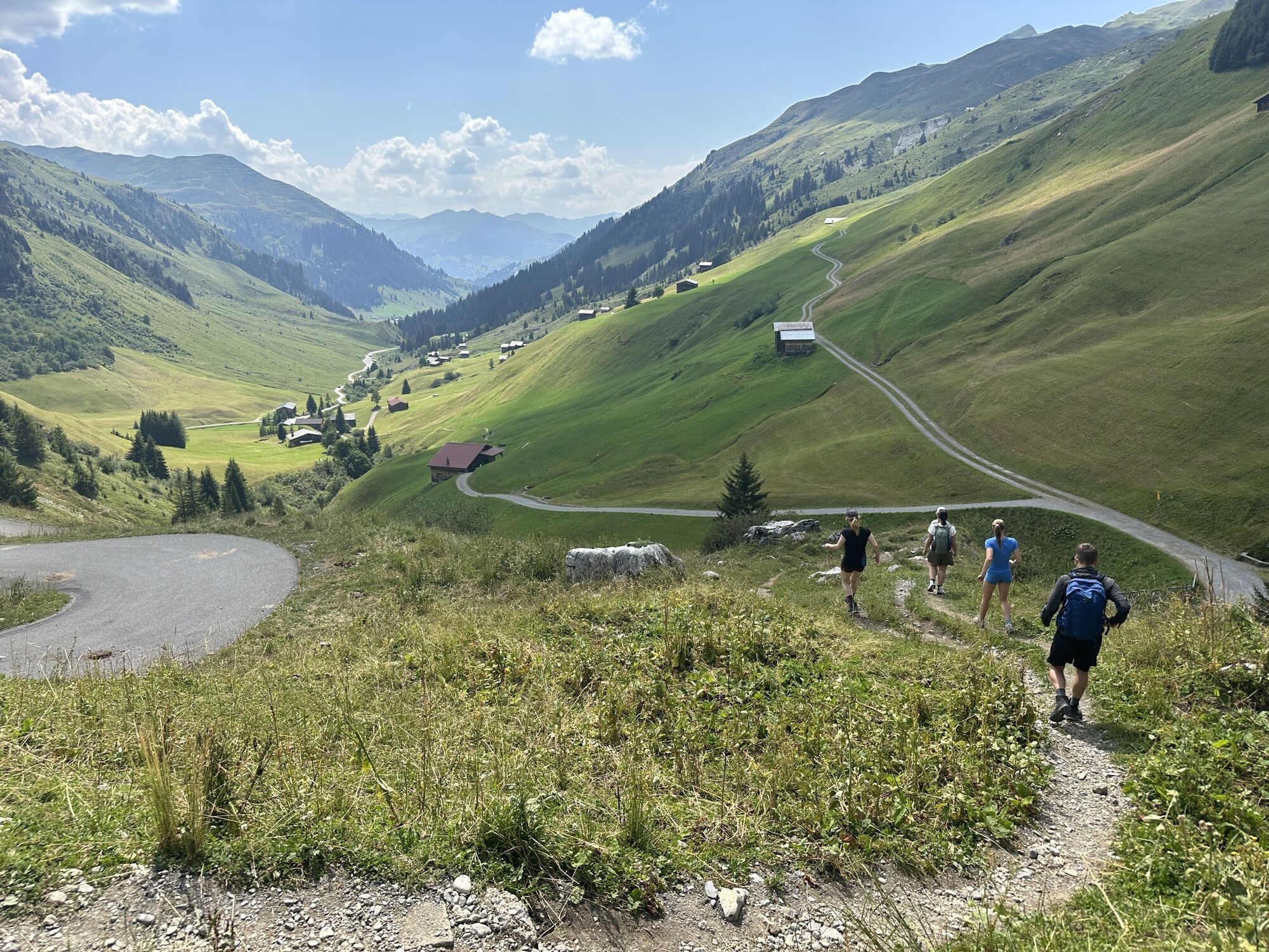
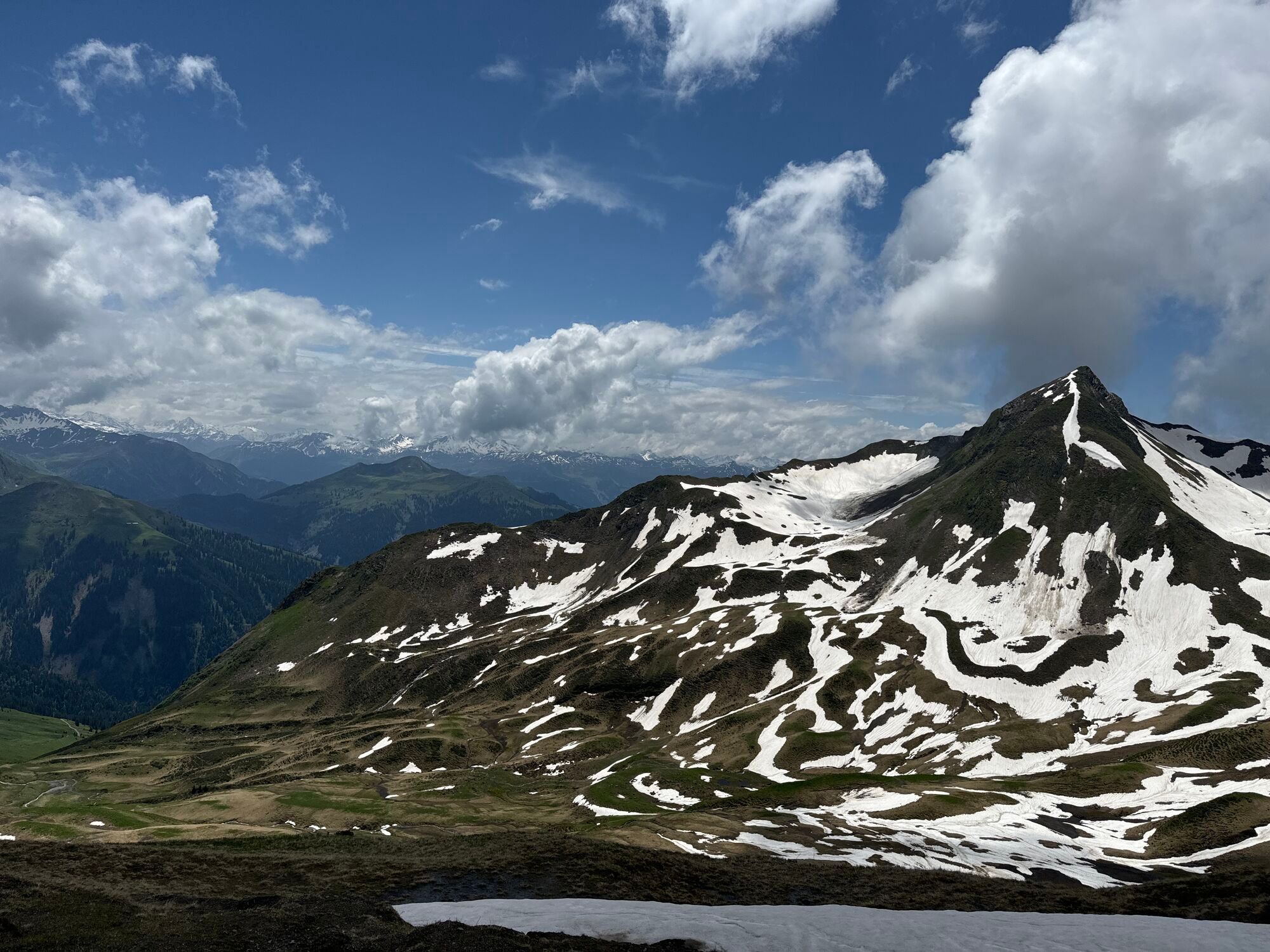
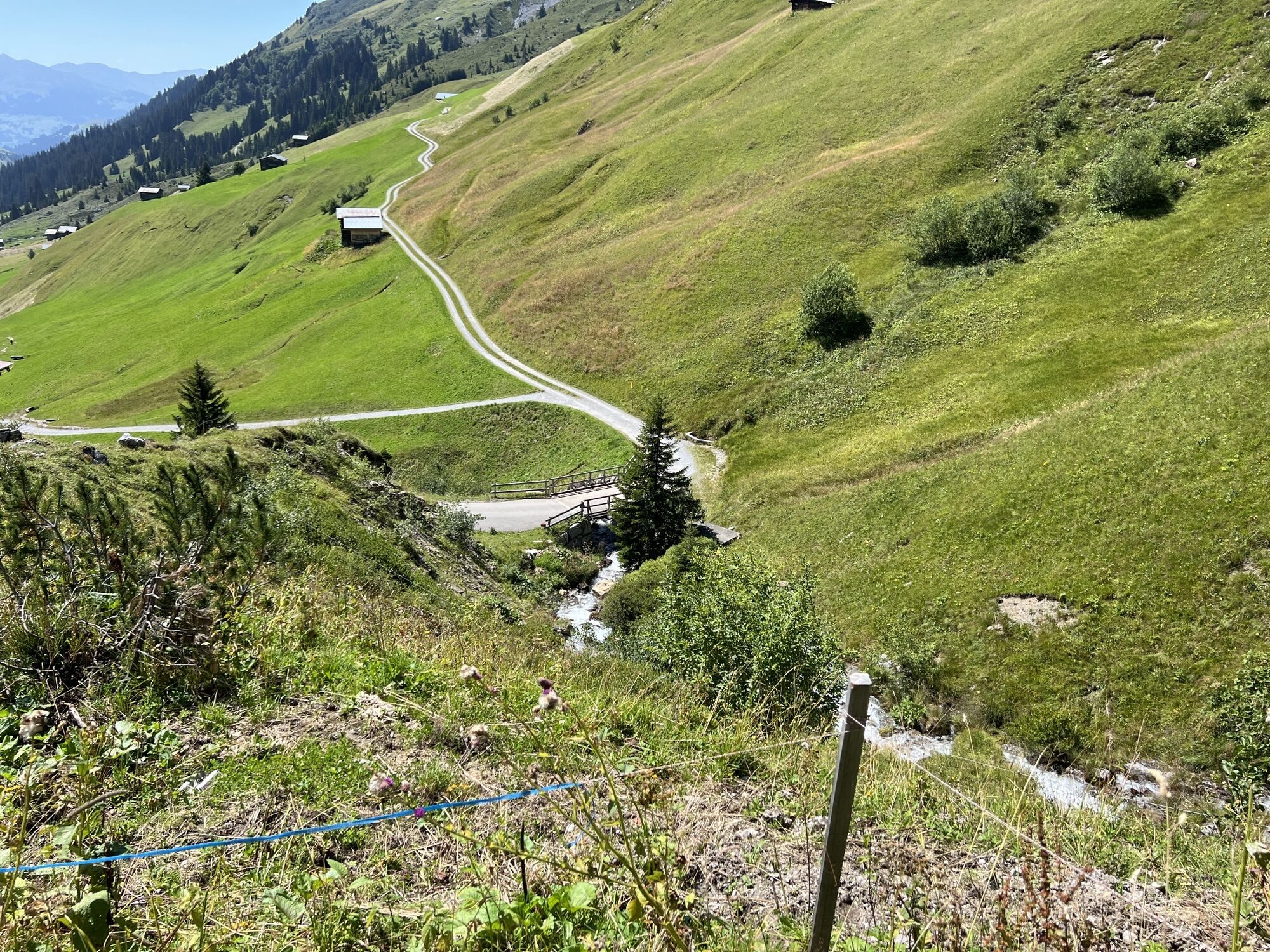
1st stage: After the mountain ride with the Madrisa cable car, the route begins with a gentle ascent over meadows, past picturesque barns to the Jägglischhorn. Here, the view extends across the entire Rätikon and the Prättigauer Höhenweg. This is followed by a longer descent via mountain paths and alpine roads to St. Antönien, an originally preserved Walser village and the first mountain climber village in Switzerland.
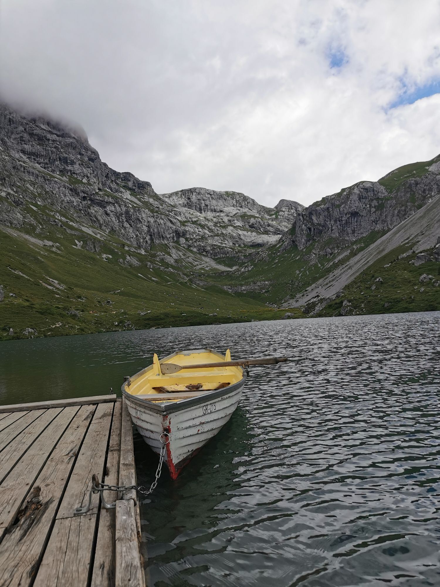
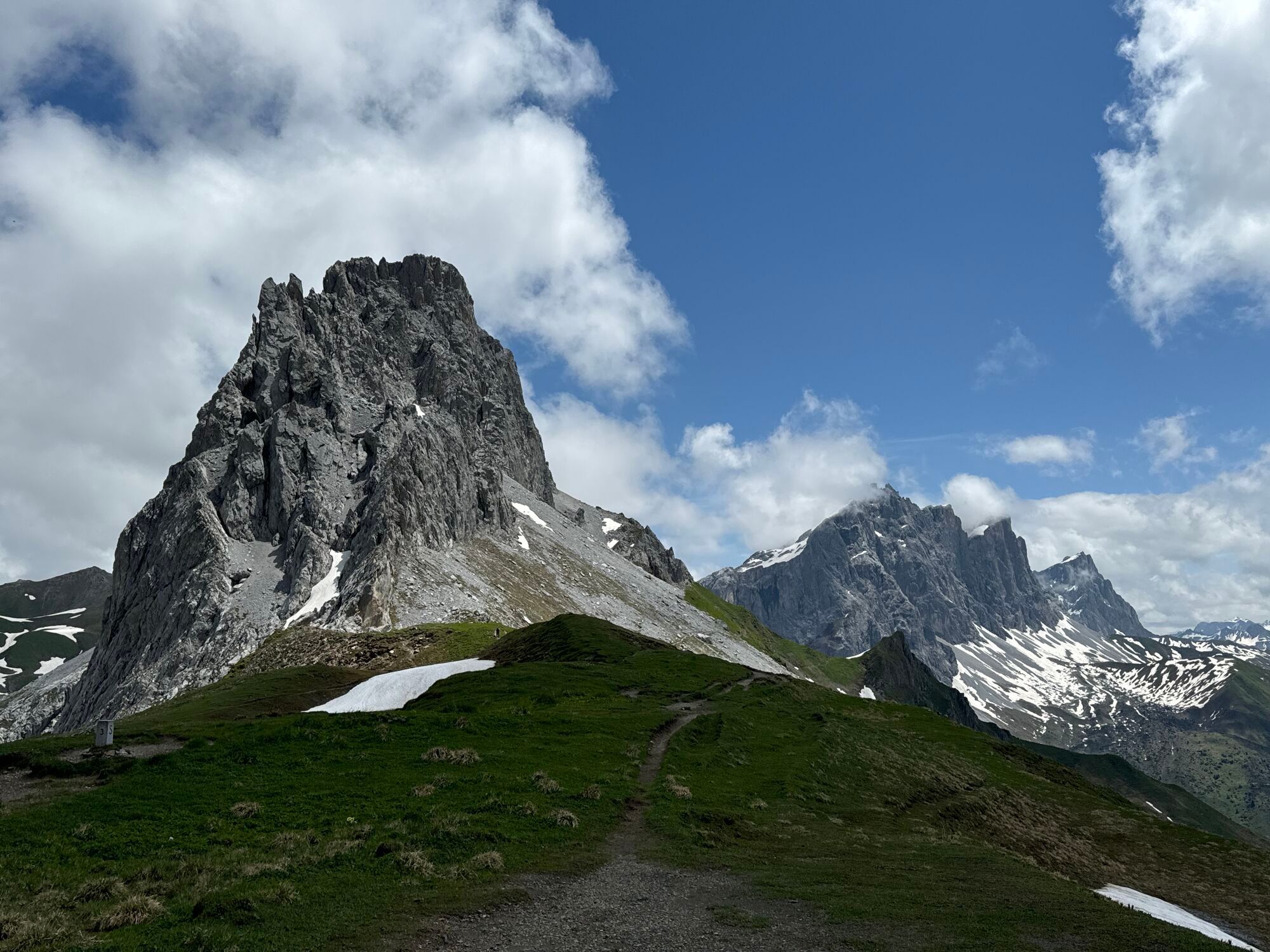
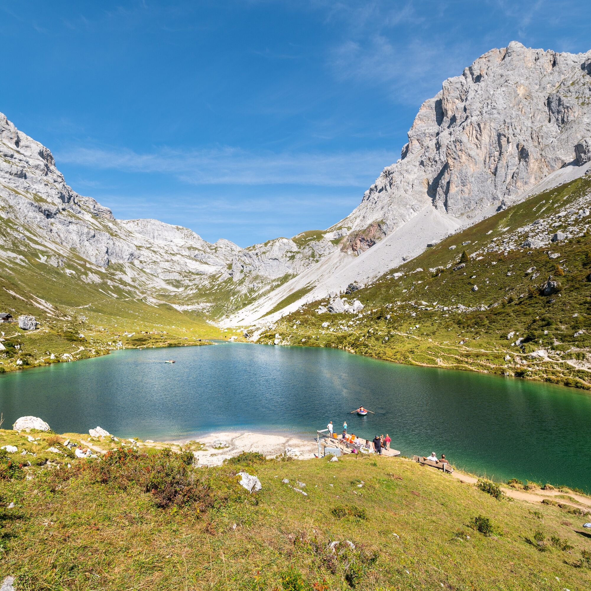
2nd stage: From St. Antönien, the ascent continues via Partnun past the crystal-clear Partnunsee to the Carschinahütte SAC. The first impressive views of the climbing rocks of the Rätikon follow.
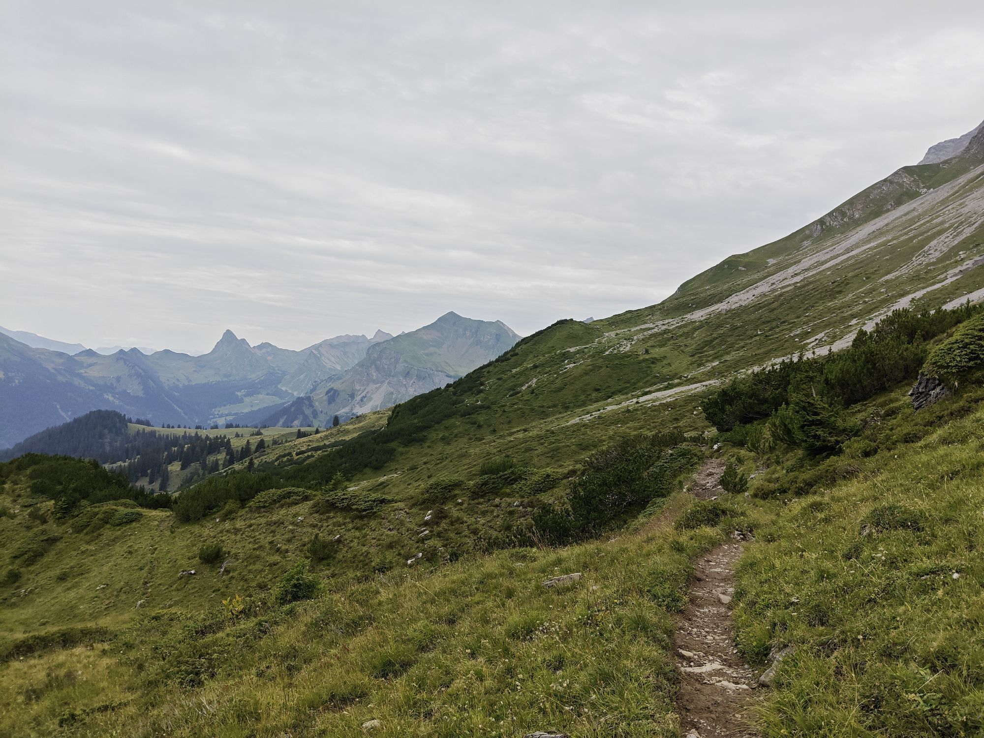
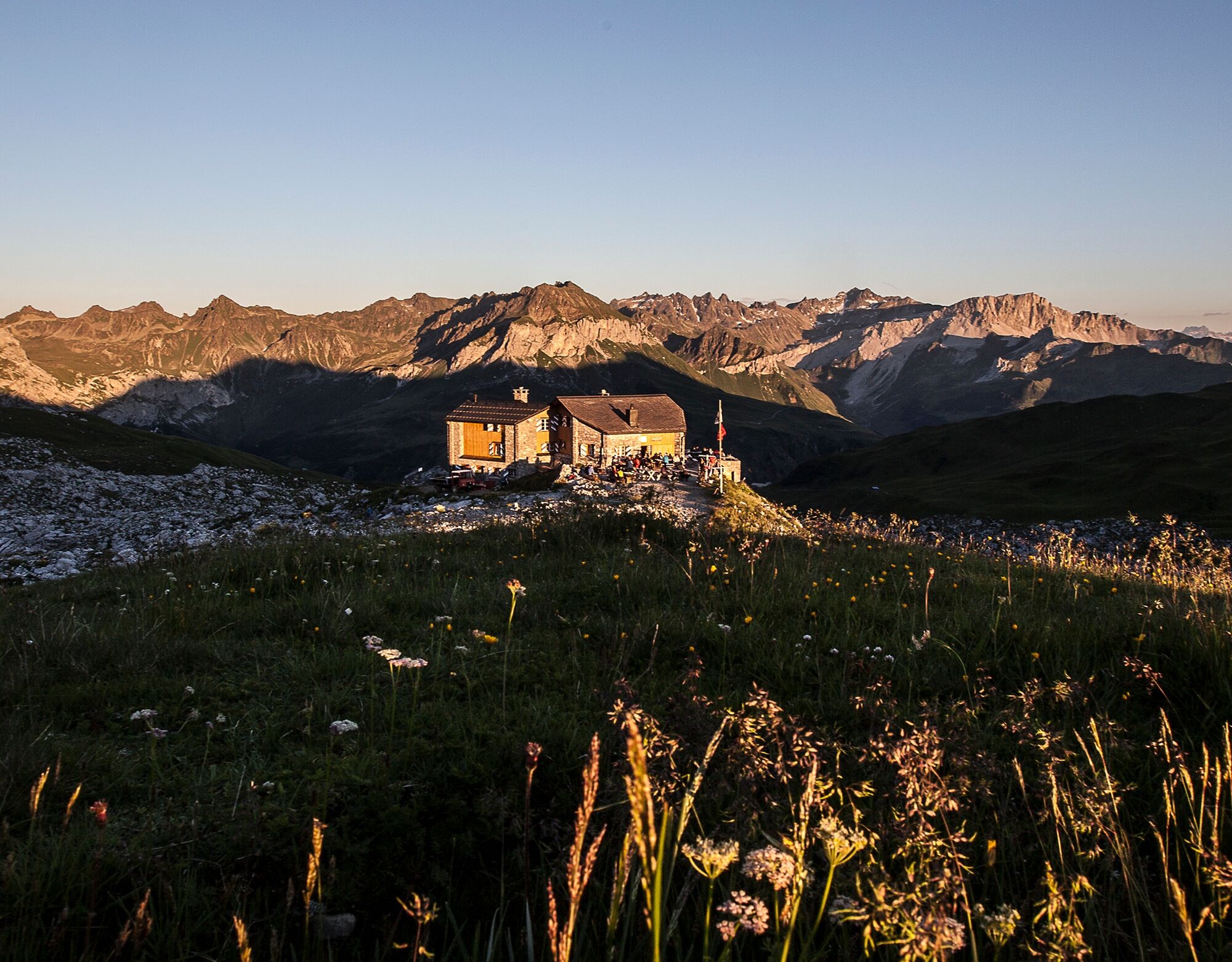
3rd stage: From the scenic location at the Carschinahütte, there is a well-developed and frequently used high trail with constantly changing views into the Prättigau valley. At the Drusator, there is a view of the Austrian side of the Rätikon. The day's goal is the Schesaplanahütte SAC.
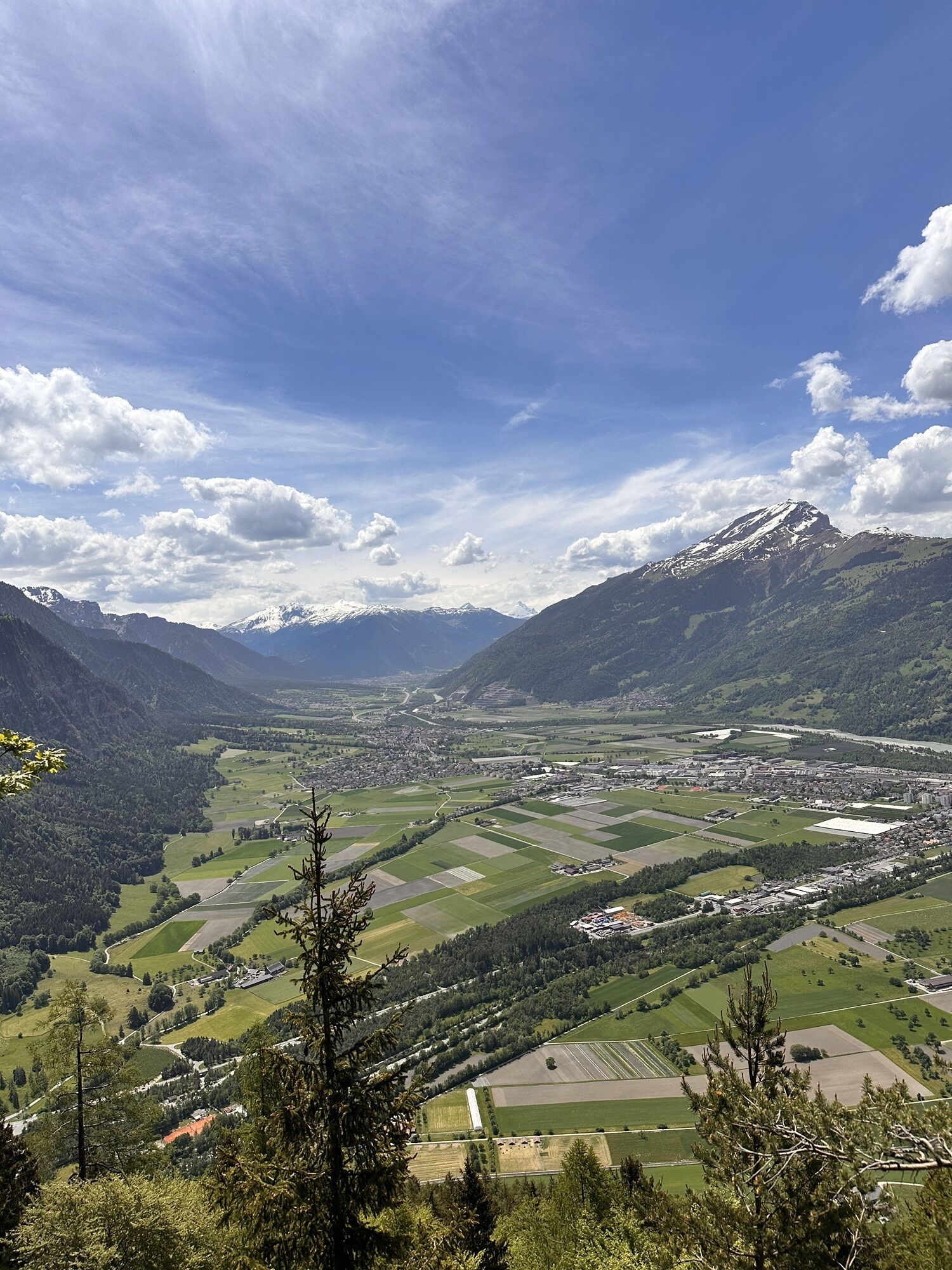
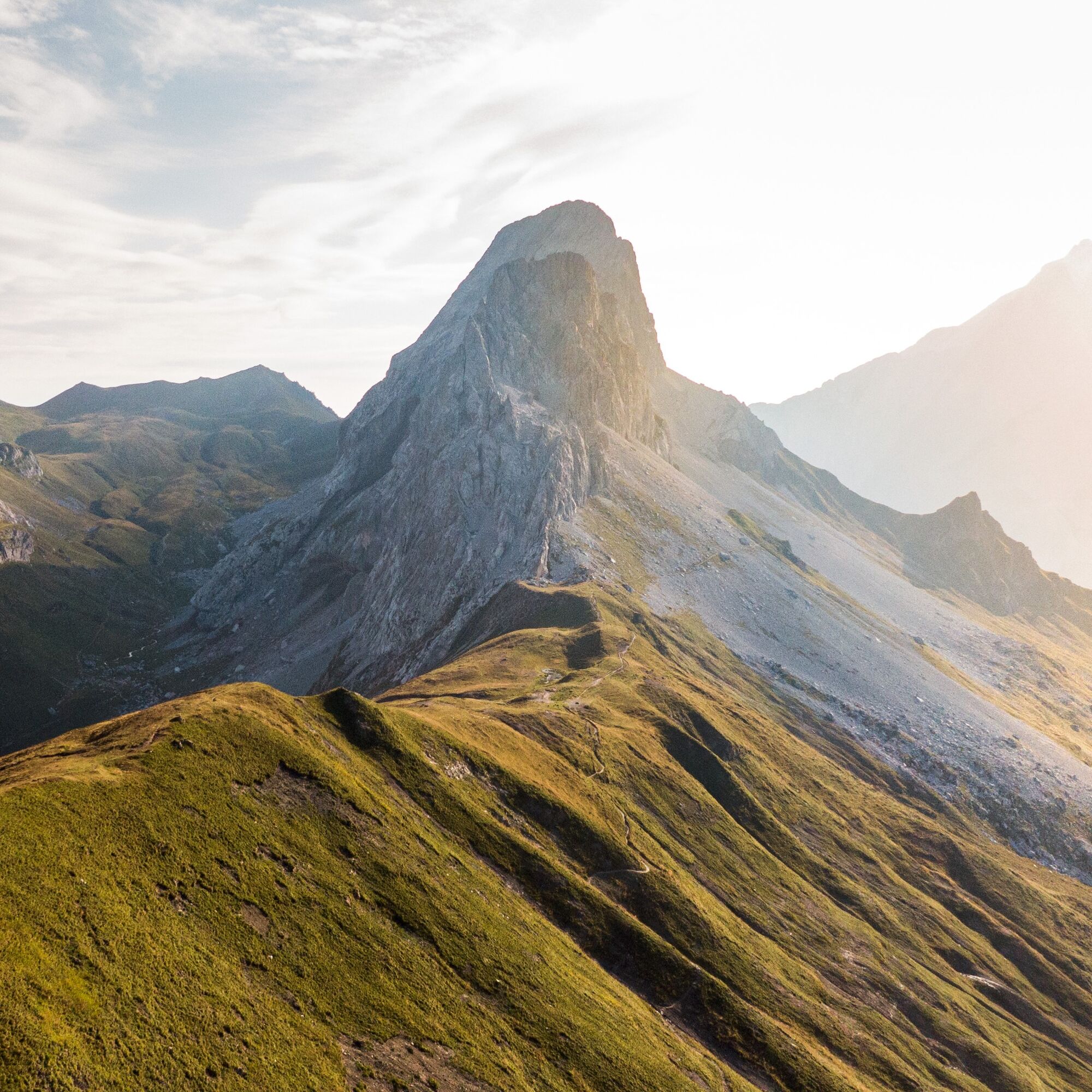
4th stage: Descent on field and forest roads to Seewis i. P. Then a leisurely walk to the Fadärastein with a great view down into the Chur Rhine Valley. This is followed by the steep winding path down to picturesque Malans in the Bündner Herrschaft and a comfortable conclusion of the route in Landquart.
Áno
Áno
Áno
Good footwear, mountain hiking clothing appropriate for the season (don't forget spare clothes to change!), as well as a map in the backpack are also recommended, as well as headgear, sunglasses and sunscreen, water bottle, and trekking provisions. Trekking poles increase surefootedness and relieve the joints.
The path is classified as T2 (mountain hiking) according to the SAC hiking scale. Definition path/terrain: path with continuous track and moderate gradients. If marked: white-red-white. Terrain partly steep, risk of falling not excluded. Requirement definition: some surefootedness. Trekking shoes are recommended. Basic orientation skills.
Attention dog owners:
As often seen in Graubünden, there are also several alpine pastures in the Rätikon protected by livestock guardian dogs. Please observe the official recommendations and zones. More information can be found here.
Coming from Zurich / St. Margrethen, leave the A13/E43 motorway at Landquart towards Landquart, Davos, Vereina. Drive on the national road A28 to Klosters-Dorf.
Take the Swiss Federal Railways (SBB) to Landquart, then change to the Rhaetian Railway (RhB) towards Davos. Get off at Klosters-Dorf.
Attention: Trains from Landquart towards Scuol-Tarasp do not stop at Klosters-Dorf!
It is recommended to use the parking lots at Landquart station and then take the Rhaetian Railway to Klosters-Dorf.
Prättigau Marketing
Feldweg 19
CH-7233 Jenaz
Tel. +41 81 325 11 11
info@praettigau.info
praettigau.info
Enjoy the 1000 meters elevation difference between the Schesaplanahütte and Seewis with a thrilling scooter ride. The rental station is located at the Schesaplanahütte.
Webové kamery z prehliadky
-
Sportzentrum Klosters
-
Davos Sertig / Walserhuus
-
Bergstation Sassauna - Fanas
-
Kinderland - Grüsch Danusa
-
Sportzentrum Klosters
-
Sportzentrum Klosters
-
Sportzentrum Klosters
-
Sportzentrum Klosters
-
Sportzentrum Klosters
-
Madrisa Bergstation / Kinderland
-
Madrisa Bergstation / Kinderland
-
Madrisa Bergstation / Kinderland
-
Madrisa Bergstation / Kinderland
-
Madrisa Bergstation / Kinderland
-
Golm - Rätikonbahn
-
Schlappin
-
Madrisaland
-
Madrisaland
-
Lünersee - Douglass Hütte
-
Pany - Freibad
-
Pany - Freibad
-
St. Antönien - Skilift
-
Skilift St. Antönien
-
Skilift Pany
-
Madrisa Bergstation / Kinderland
-
Skilift Pany
-
Bündelti
-
Bündelti
-
Bündelti
-
Bündelti
-
Bündelti
-
Tilisunahütte
-
Tilisunahütte
-
Hueter Hütte
-
Hueter Hütte
-
Alphütte Maienfeld
-
Älplibahn Malans
-
Nenzinger Himmel
-
Nenzinger Himmel
Získajte prehľad
Vždy naživo na mieste s viac ako 9 500 webovými kamerami. bergfex Ako používateľ Pro si teraz môžete pozrieť príslušné webové kamery pre mnohé zájazdy v aplikácii zájazdy z. Môžete si tak priamo prezerať aktuálne podmienky.
Obľúbené výlety v okolí
-
4,8
Douglashütte - Schesaplana
strednáTuristika 7,31 km -
5,0
Ski tour to the Lindauer Hut (1,744 m)
svetloSkitour 14,0 km -
4,6
Smuggler’s path
strednáTematická trasa 8,60 km -
4,6
Over the historic mine and Fritzensee to Rellseck
strednáTuristika 7,25 km -
4,4
Golmer Lakes Trail
strednáTematická trasa 7,28 km -
4,9
Bürs, Bürserschlucht Bürs, Vorarlberg
strednáTuristika 5,31 km -
4,9
Douglasshütte, Lünersee, Gafalljoch Brand bei Bludenz, Vorarlberg
svetloTuristika 9,16 km -
4,3
Mondspitze (Montspitze)
strednáTuristika 7,97 km -
4,3
Golmerbahn Bergstaion Grüneck - Golmer Höhenweg - Geißspitze - Lindauer Hütte - Latschau
strednáTuristika 11,5 km -
3,7
Fürstin-Gina-Weg
Turistika 10,7 km

Turistika a stopovanie


Nenechajte si ujsť ponuky a inšpiráciu na ďalšiu dovolenku
Vaša e-mailová adresa bol pridaný do poštového zoznamu.





