







Sulzfluh cave path
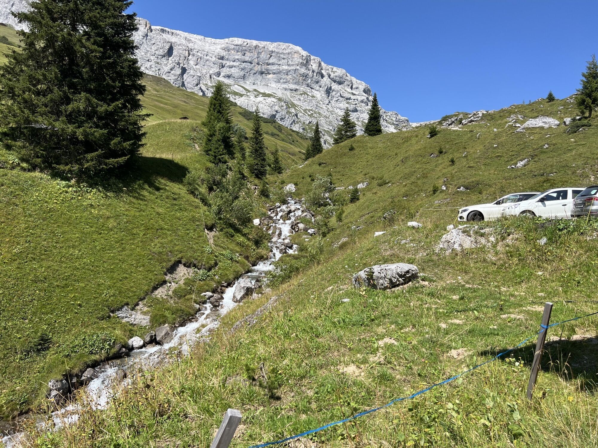
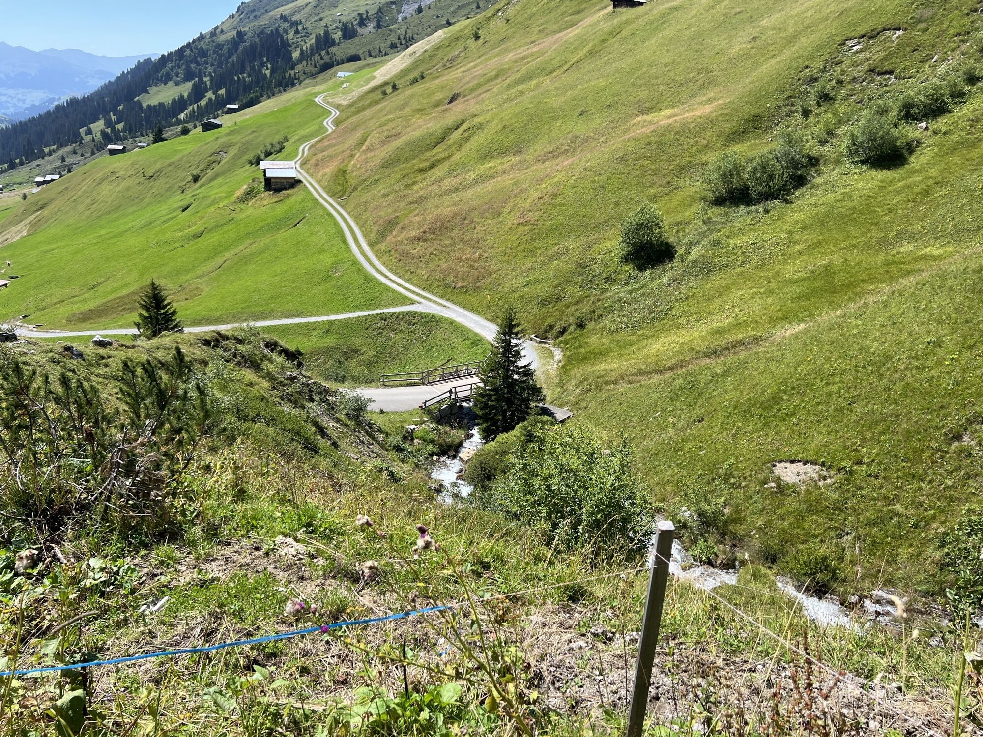
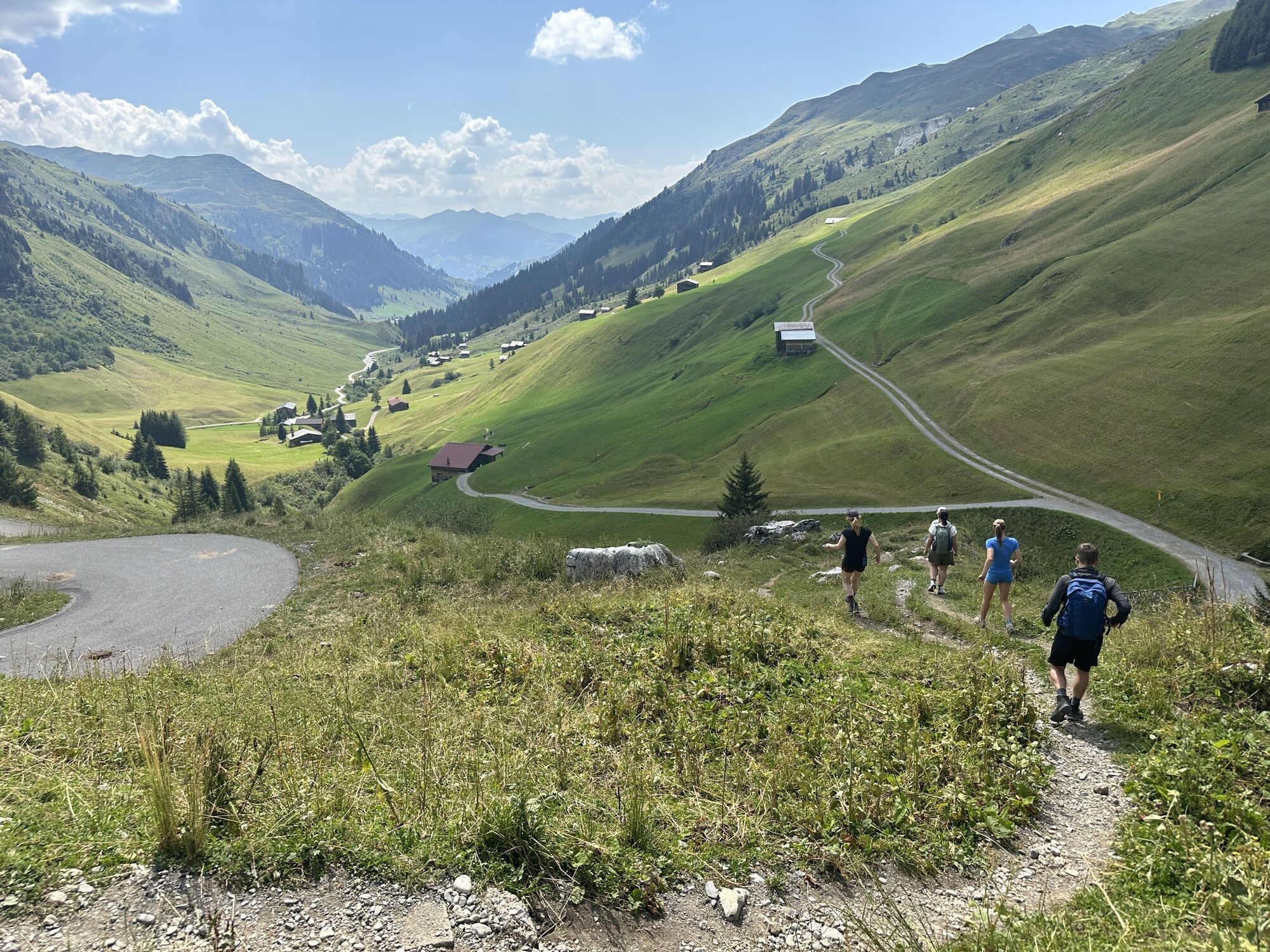
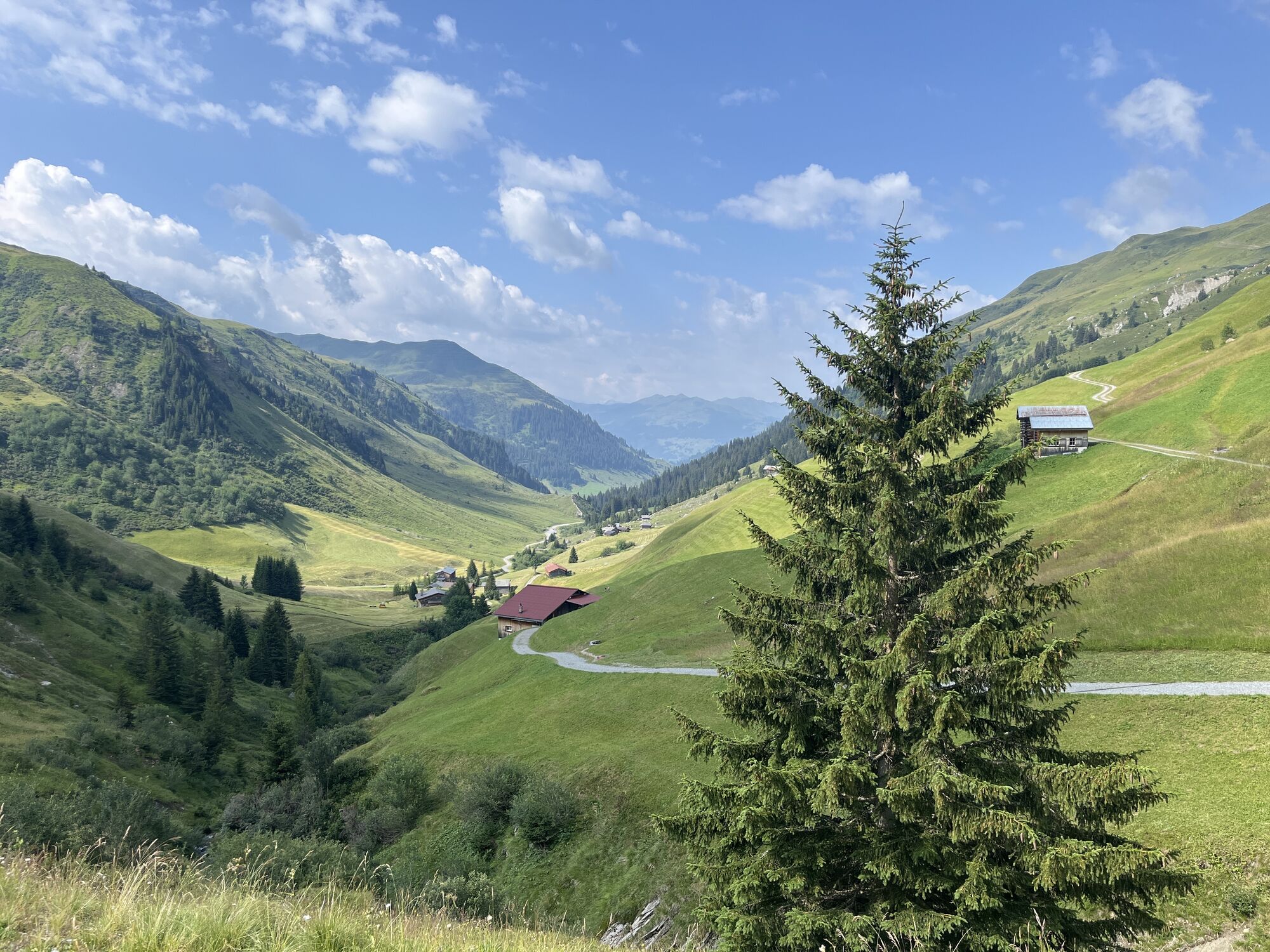
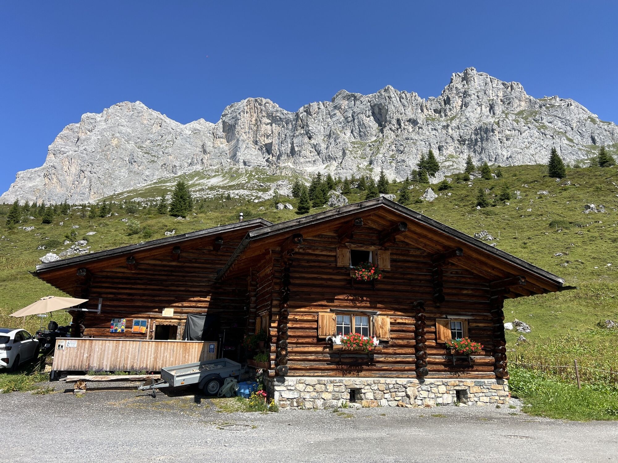
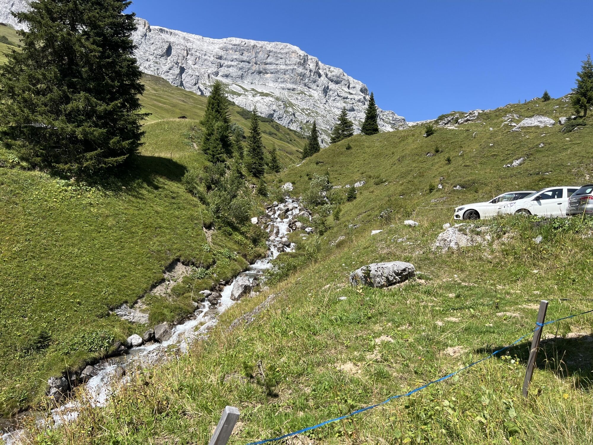
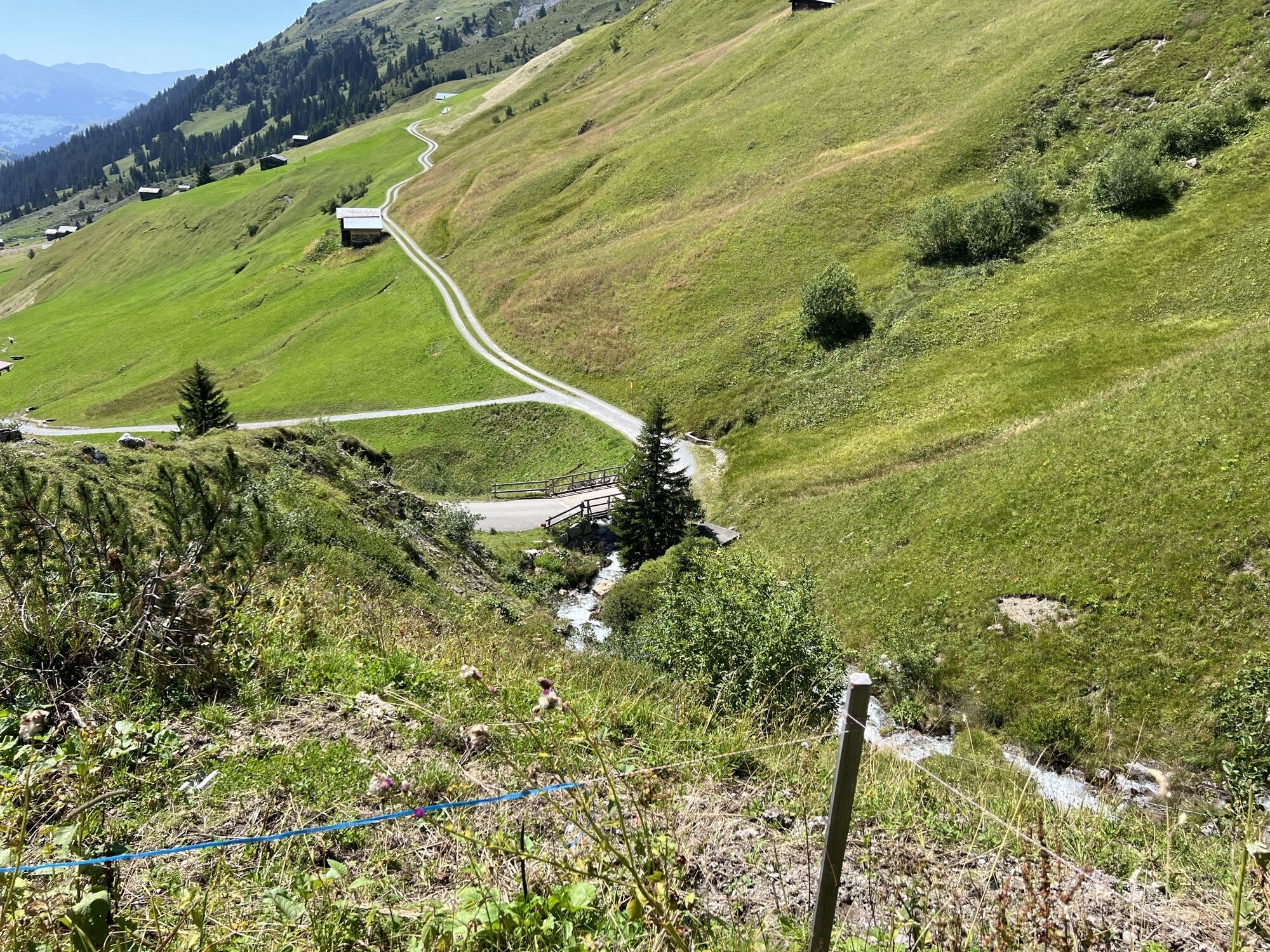
From Partnun you walk over green meadows up under the brightly lit limestone walls of the Sulzfluh. Over some rock steps secured with wire ropes, you reach the barren, scree-filled Gemschtobel. Some exposed...
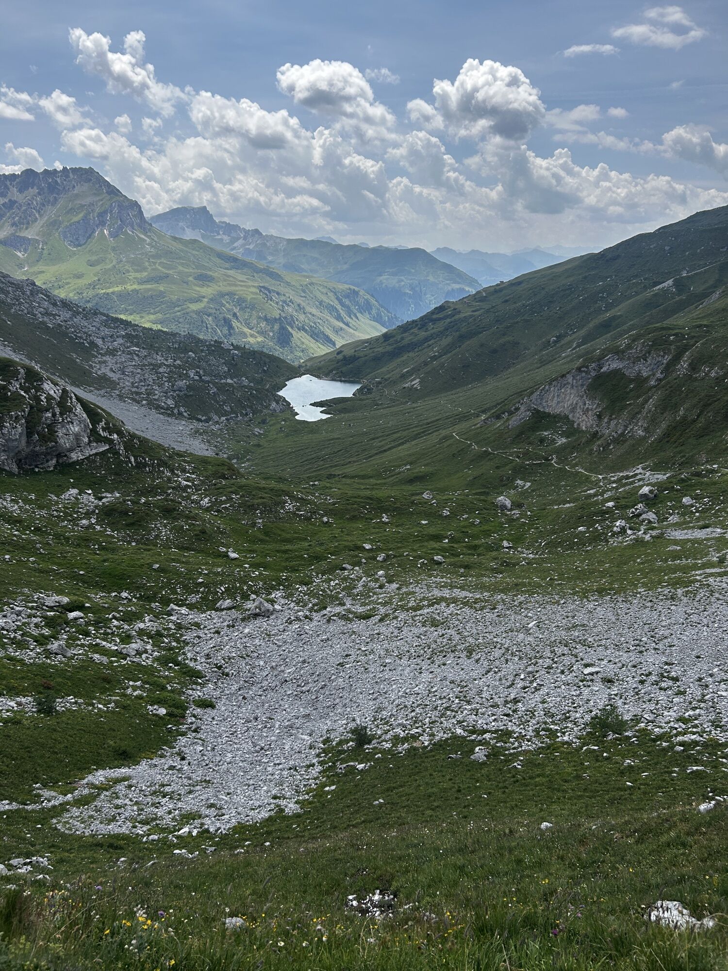
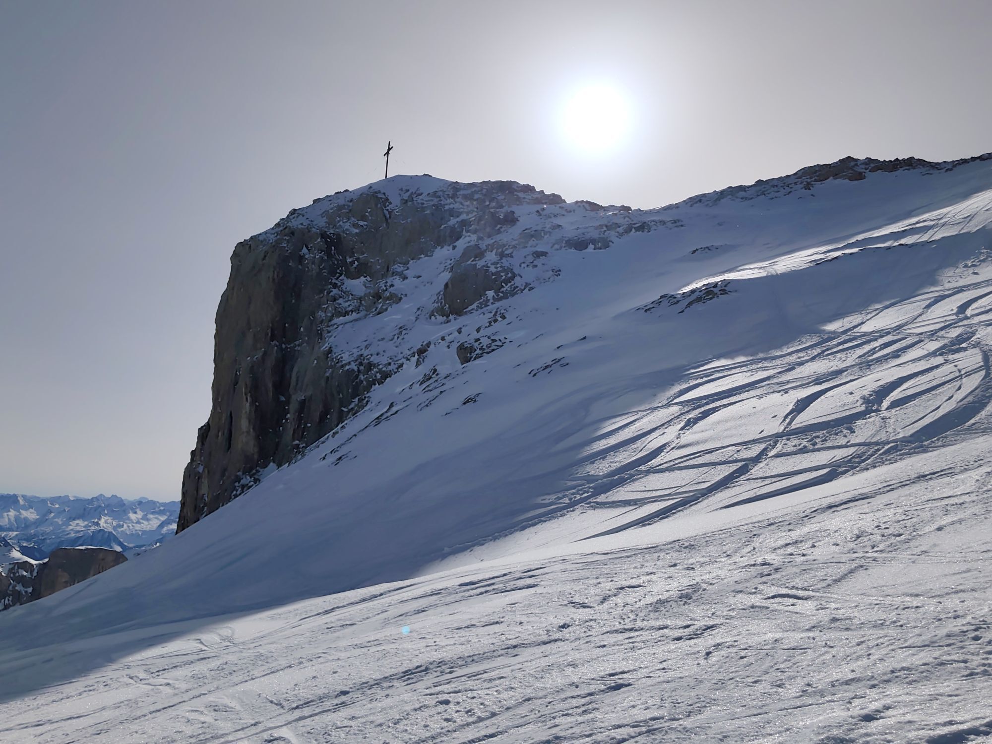
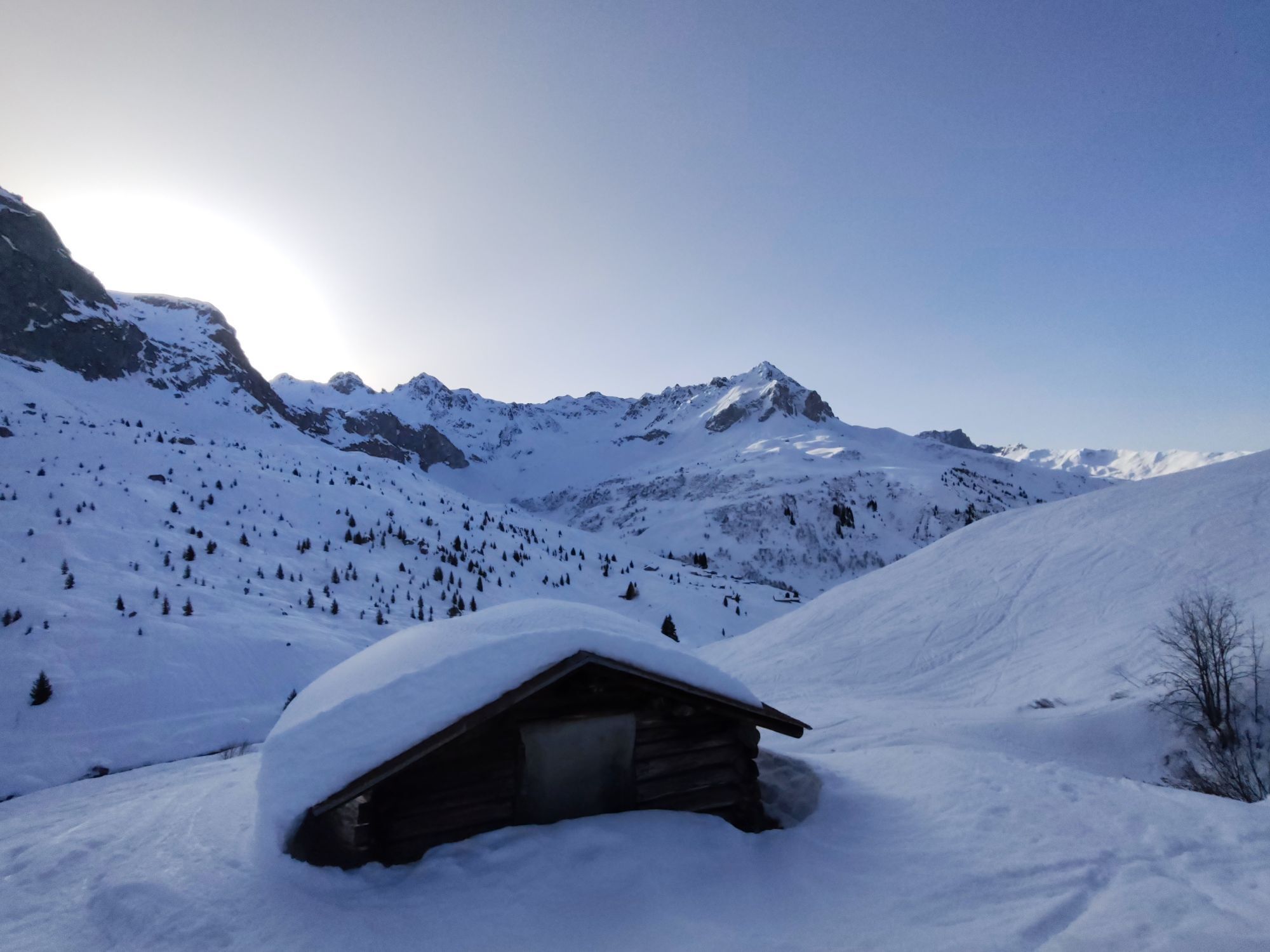
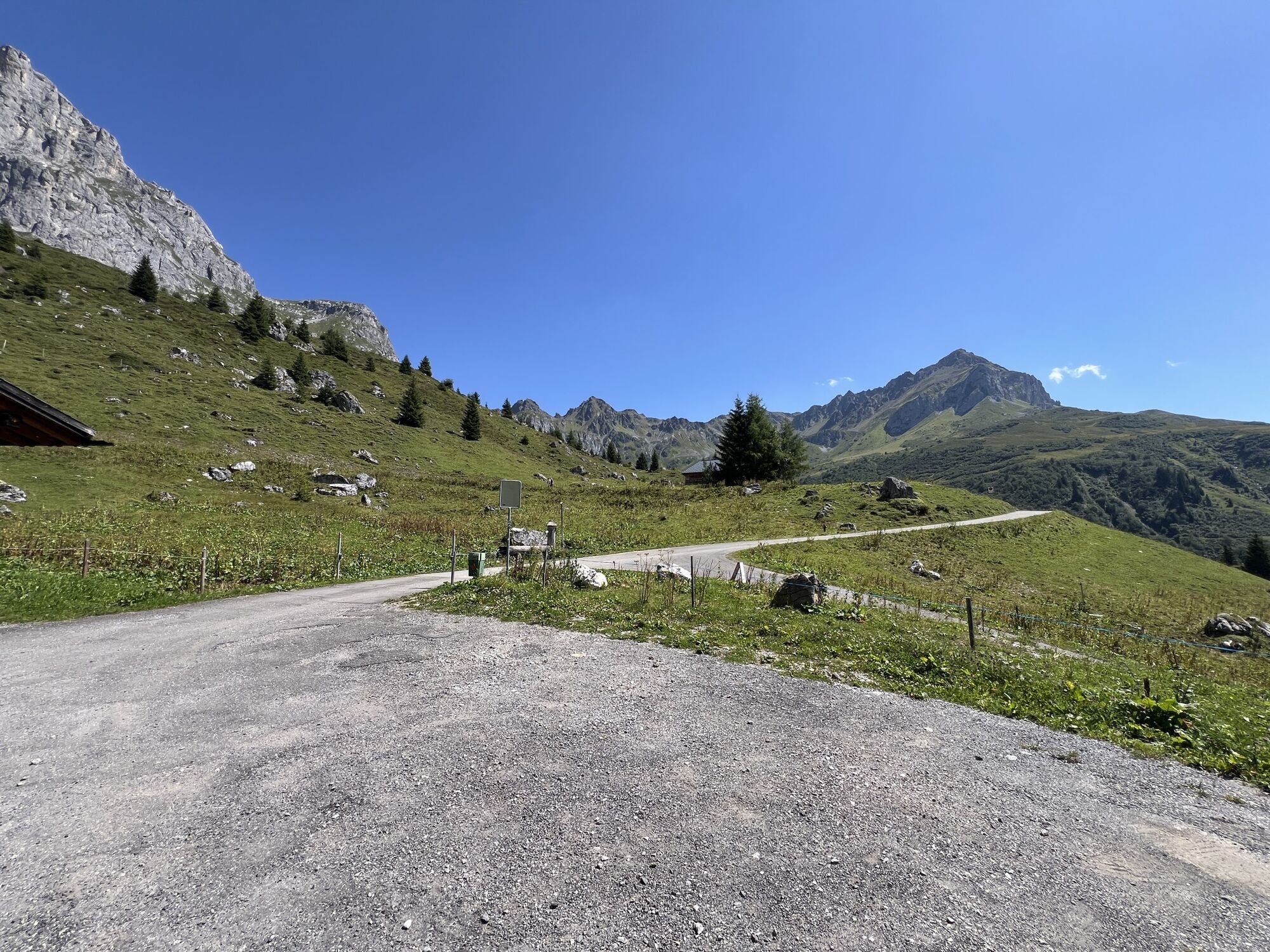
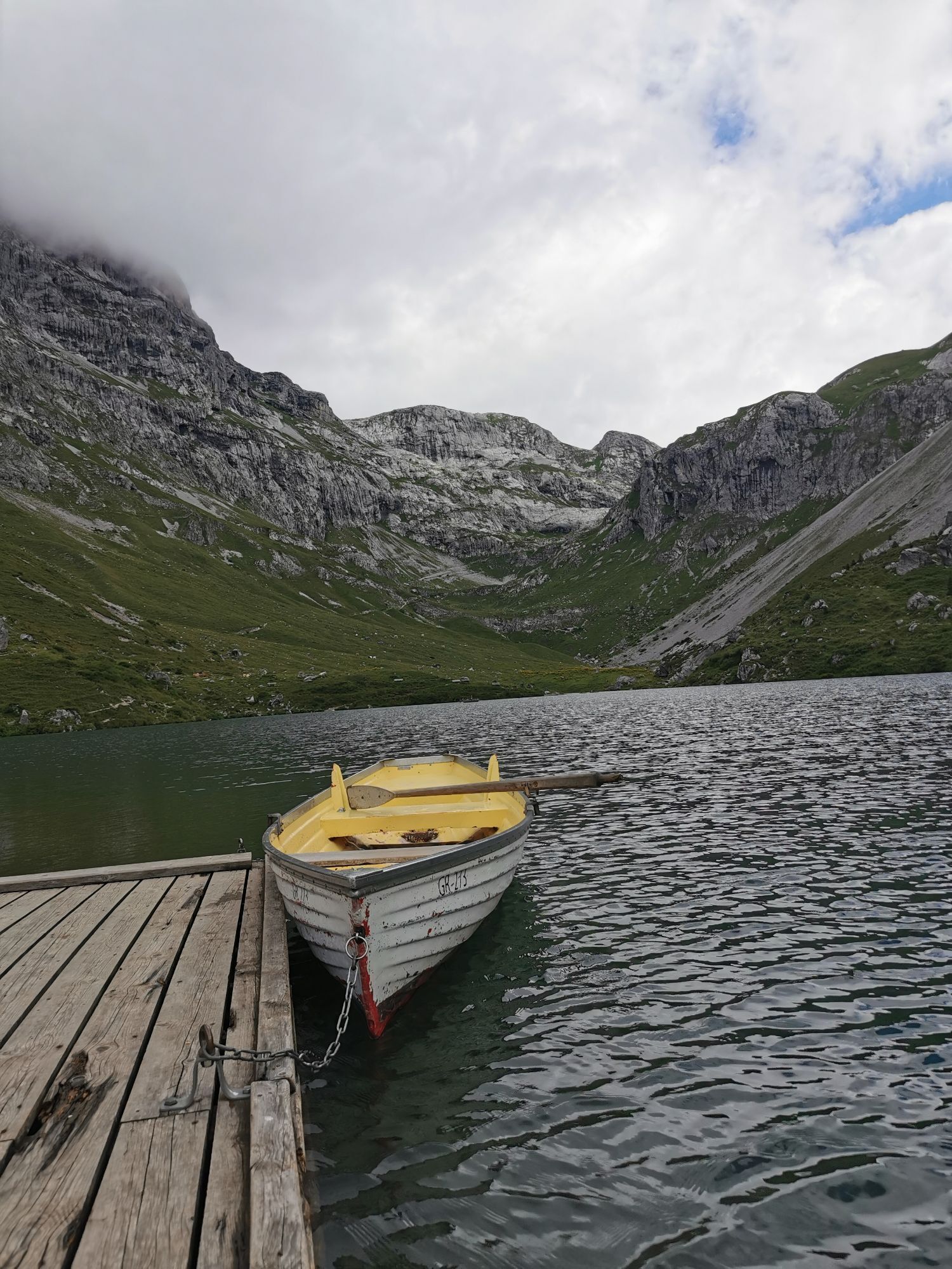
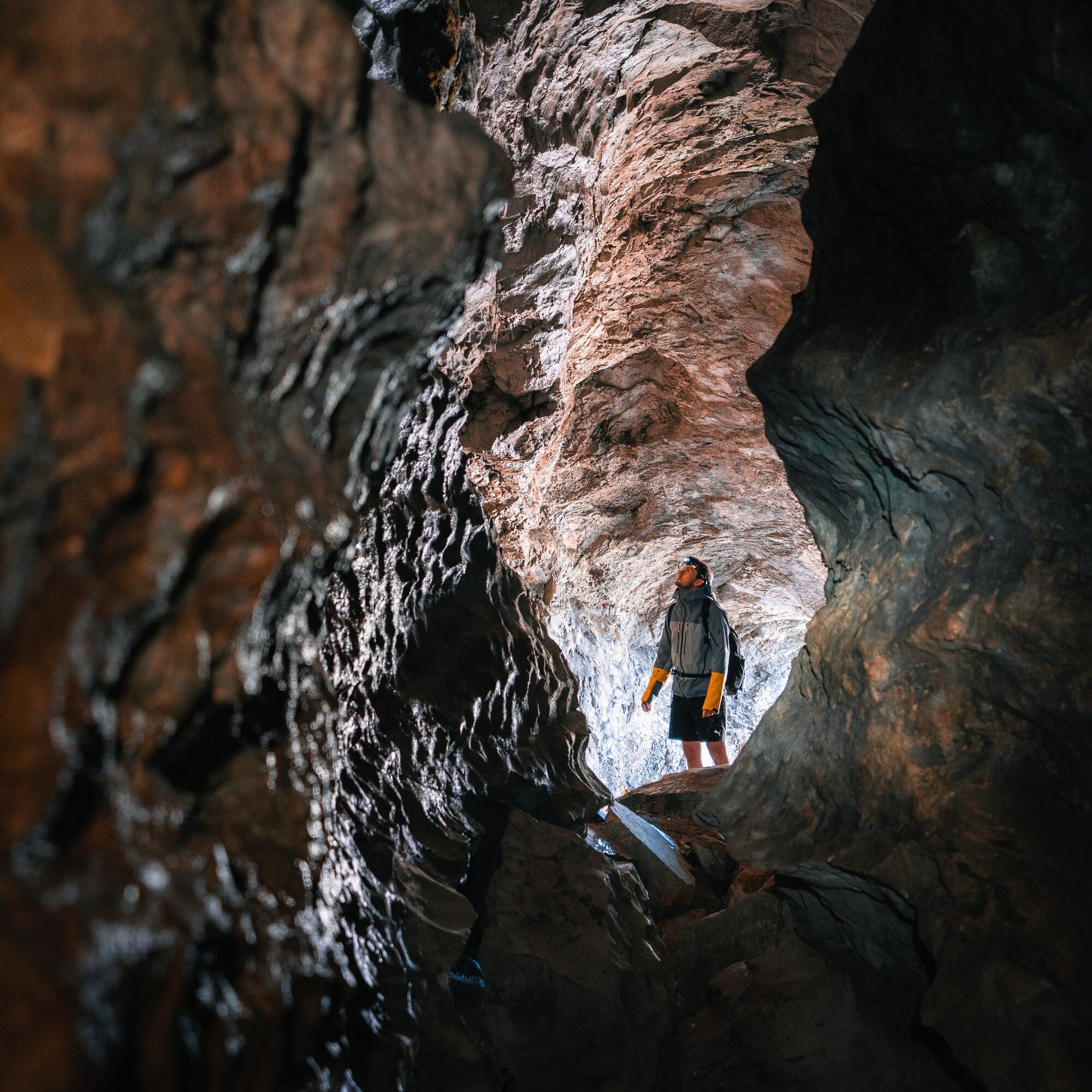
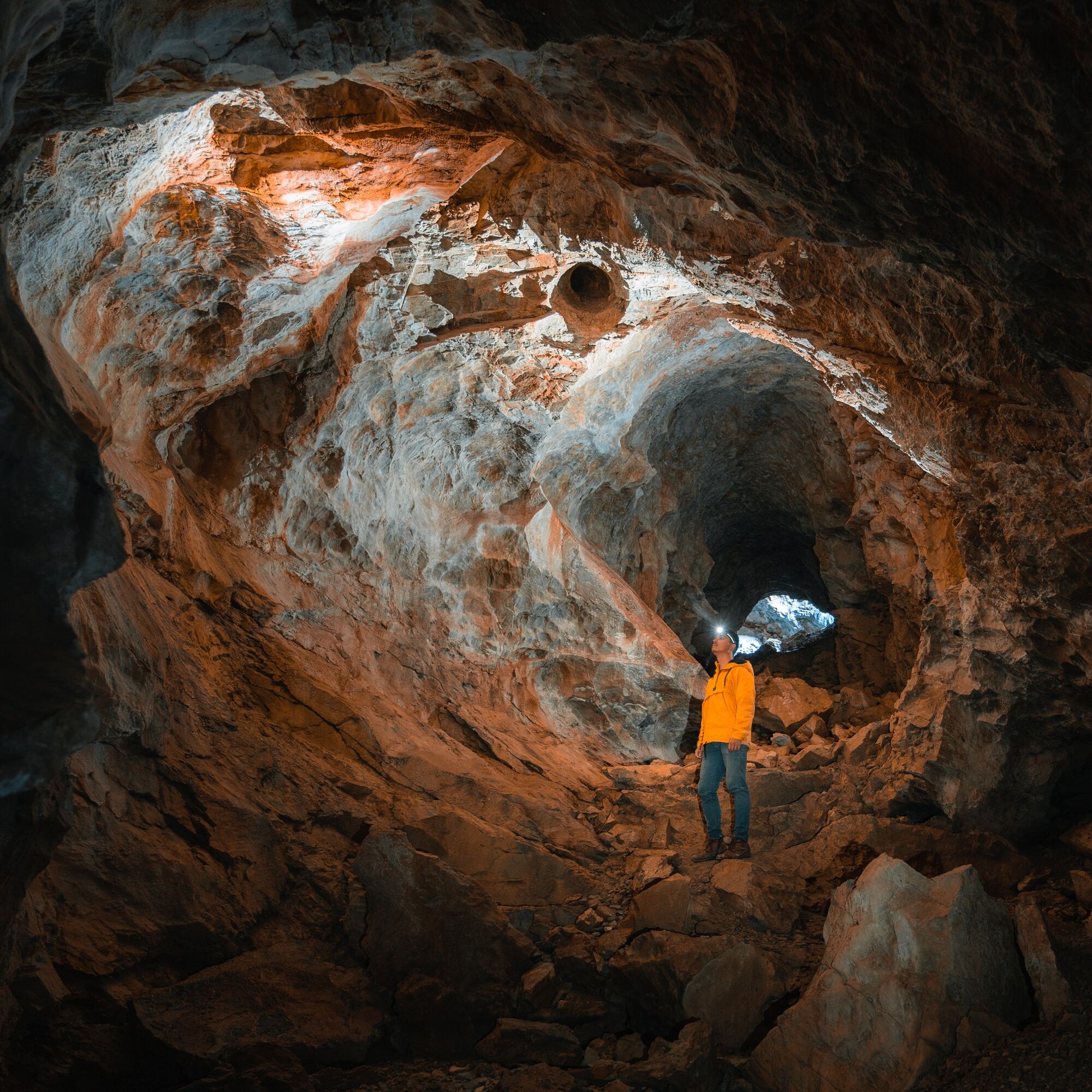
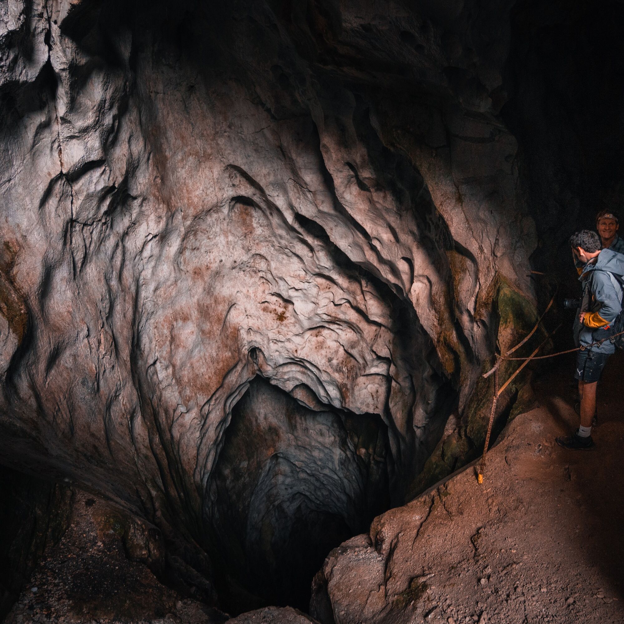
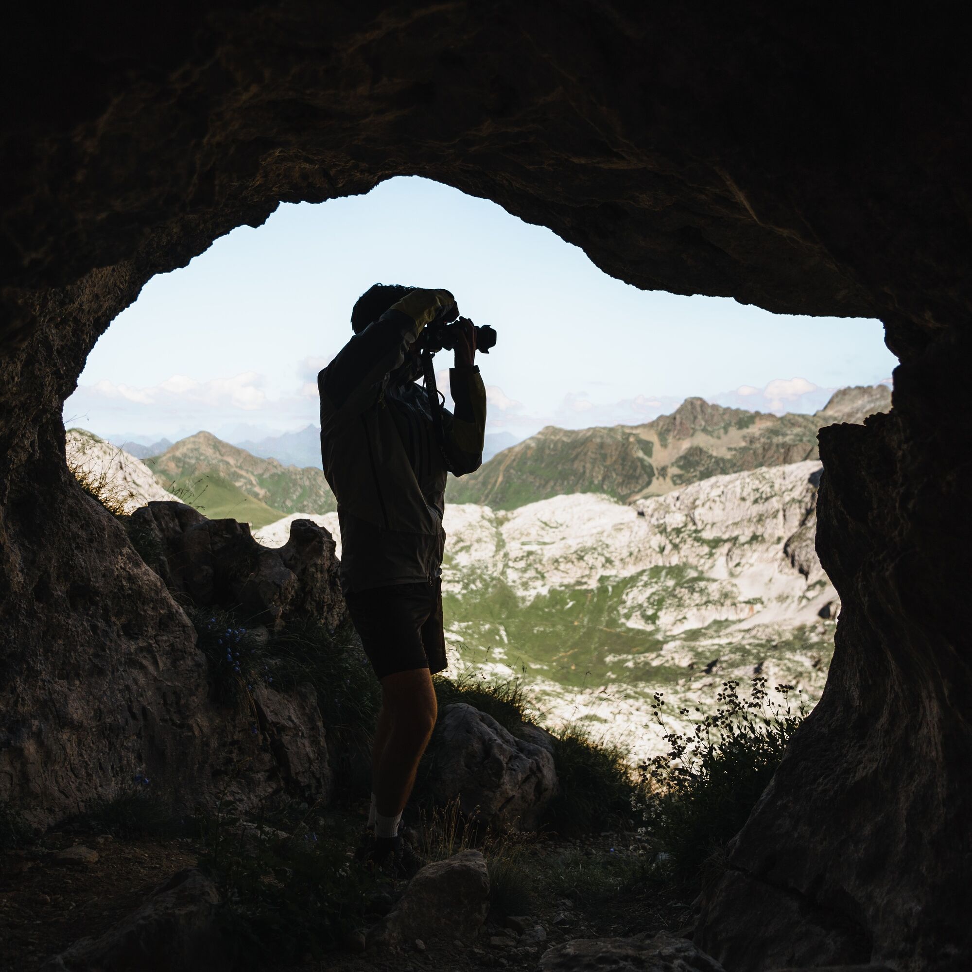
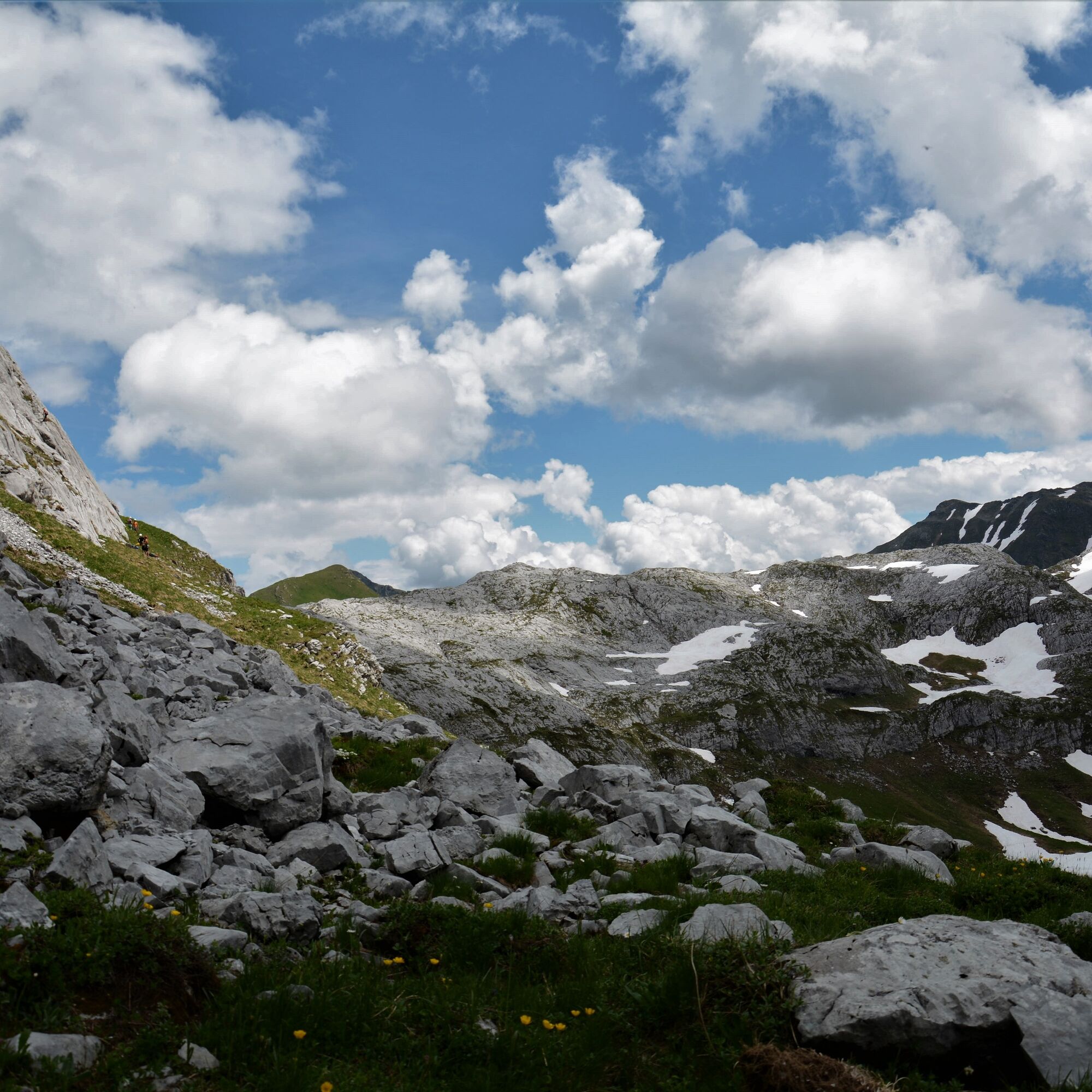
From Partnun you walk over green meadows up under the brightly lit limestone walls of the Sulzfluh. Over some rock steps secured with wire ropes, you reach the barren, scree-filled Gemschtobel. Some exposed places require surefootedness. Keeping the distinctive summit cross firmly in sight you climb steeply up to the ridge. The detour to the summit of Sulzfluh (2817 m) rewards you in good visibility with a spectacular panorama to the Valais Alps and Lake Constance. Over the Karrenfeld, a vast limestone landscape of slabs and pointed ridges, you hike along the border to Austria in the direction of Tilisunahütte. Further on the alpine section of the path - good orientation is a prerequisite, as stone cairns and only a few markings indicate the way. Before the ascent to point 2446, turn east through a hollow. Back on Swiss ground you soon reach the first caves. The Abgrundhöli is reserved for cavers as it drops immediately down. But the Seehöli and Chilchhöli can be explored a little way at your own risk (don't forget your headlamp!). Past the caves the route leads steeply zigzagging down to the Tritt (2043 m). From here it goes on the mountain hiking path (white-red) past the Partnunersee and back to Partnun.
Variant: For more rock contact, replace the ascent through Gemschtobel with the Sulzfluh via ferrata.

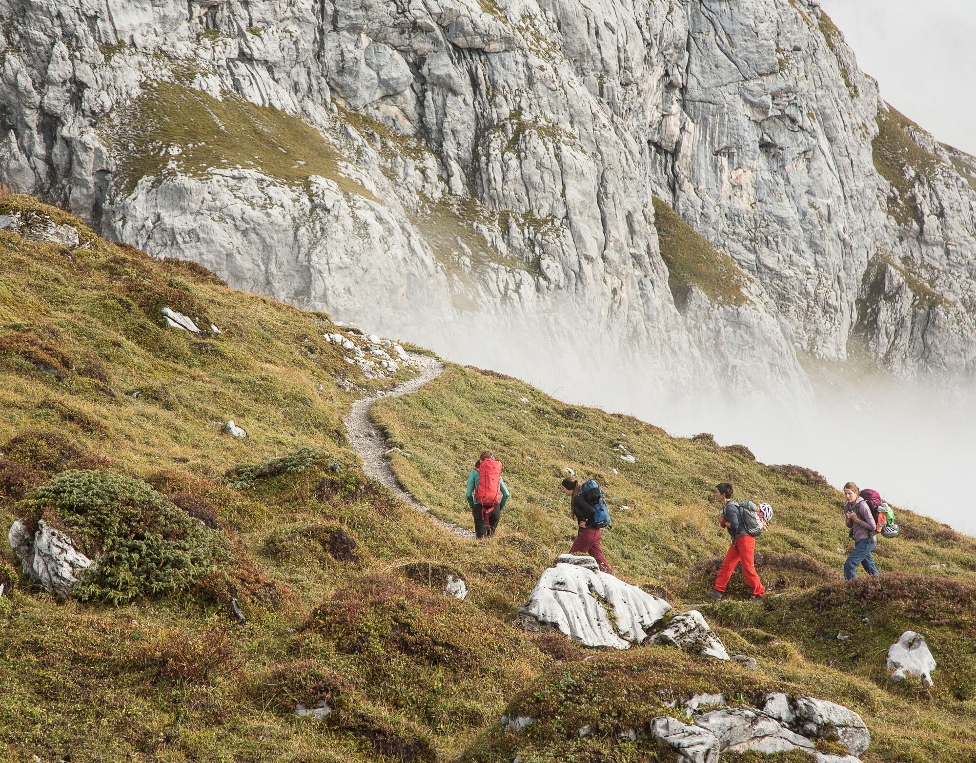

Partnun - Gemschtobel - Sulzfluh (2817 m) - Karrenfeld - Chilchhöhli - Seehöhli - Tritt - Partnunsee - Partnun
Áno
Sturdy hiking boots, mountain hiking clothing suitable for the season. A current hiking map in your backpack is just as advisable as sun, rain and heat protection, water bottle and tour provisions. Hiking poles increase surefootedness and relieve the joints. For emergencies: first aid kit, emergency blanket, mobile phone. Additionally, compass and altimeter can be recommended.
The path is classified on the section between the Karrenfeld and the caves as T4 (alpine hiking) - there are few trail markings, good orientation is a prerequisite (if marked: white-blue-white, according to SAC hiking scale). The other trail sections are classified as challenging mountain hiking paths (T3-T3+, marked: red-white).
Path / Terrain: Path not visible everywhere, route partly trail-less, rocky outcrops, partly exposed
Requirement: Familiarity with exposure, sturdy trekking shoes, good orientation skills.
To the caves - exploring the caves is at your own risk. It is recommended to explore with experienced persons (mountain guides, cavers). Even with little fresh snow the entrances are prone to snow slides.
Via motorway A13 to Landquart, then via national road N28 towards Davos / Vereina. In Küblis leave the national road and after the roundabout at the village entrance turn left towards Luzein, Pany, St. Antönien. Follow the mountain road to St. Antönien, through the village further to Rüti. Towards Partnun to the last parking lot P6 in Garstädt.
All parking spaces in St. Antönien are subject to a fee. Payment can be made in cash, via the Parkingpay app, Easy-Park or Twint on the parking lots. The last parking lot P6 Garstett with day ticket is located below the Partnunstafel, about 3.5 km outside of St. Antönien.
Pany-St. Antönien Tourism
Panyerstrasse 39
CH-7243 Pany
Tel. +41 81 300 32 22
info@pany-stantoenien.ch
www.pany-stantoenien.ch
The homemade cake in the mountain houses Alpenrösli and Sulzfluh in Partnun refills your energy reserves.
 Získajte prehľad
Vždy naživo na mieste s viac ako 9 500 webovými kamerami. bergfex Ako používateľ Pro si teraz môžete pozrieť príslušné webové kamery pre mnohé zájazdy v aplikácii zájazdy z. Môžete si tak priamo prezerať aktuálne podmienky.
Získajte prehľad
Vždy naživo na mieste s viac ako 9 500 webovými kamerami. bergfex Ako používateľ Pro si teraz môžete pozrieť príslušné webové kamery pre mnohé zájazdy v aplikácii zájazdy z. Môžete si tak priamo prezerať aktuálne podmienky.
Obľúbené výlety v okolí
-
4,8
Douglashütte - Schesaplana
strednáTuristika 7,31 km -
5,0
Ski tour to the Lindauer Hut (1,744 m)
svetloSkitour 14,0 km -
4,7
Smuggler’s path
strednáTematická trasa 8,60 km -
5,0
Bürs, Bürserschlucht Bürs, Vorarlberg
strednáTuristika 5,31 km -
4,6
Over the historic mine and Fritzensee to Rellseck
strednáTuristika 7,25 km -
4,4
Golm-Rundwanderweg im Rätikon
strednáTematická trasa 7,28 km -
4,9
Douglasshütte, Lünersee, Gafalljoch Brand bei Bludenz, Vorarlberg
svetloTuristika 9,16 km -
4,5
Madrisella summit path
strednáTematická trasa 10,8 km -
4,3
Golmerbahn Bergstaion Grüneck - Golmer Höhenweg - Geißspitze - Lindauer Hütte - Latschau
strednáTuristika 11,5 km -
4,9
Alpgues Runde
strednáTuristika 9,21 km
Turistika a stopovanie


Nenechajte si ujsť ponuky a inšpiráciu na ďalšiu dovolenku
Vaša e-mailová adresa bol pridaný do poštového zoznamu.





