







Fanellhorn 3124 m

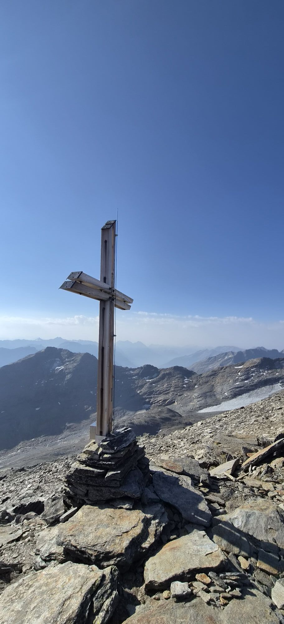
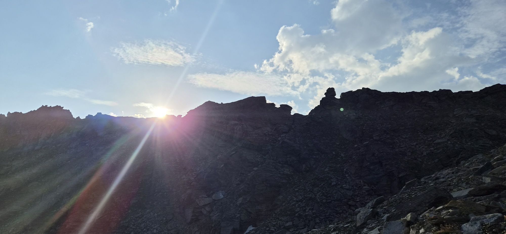
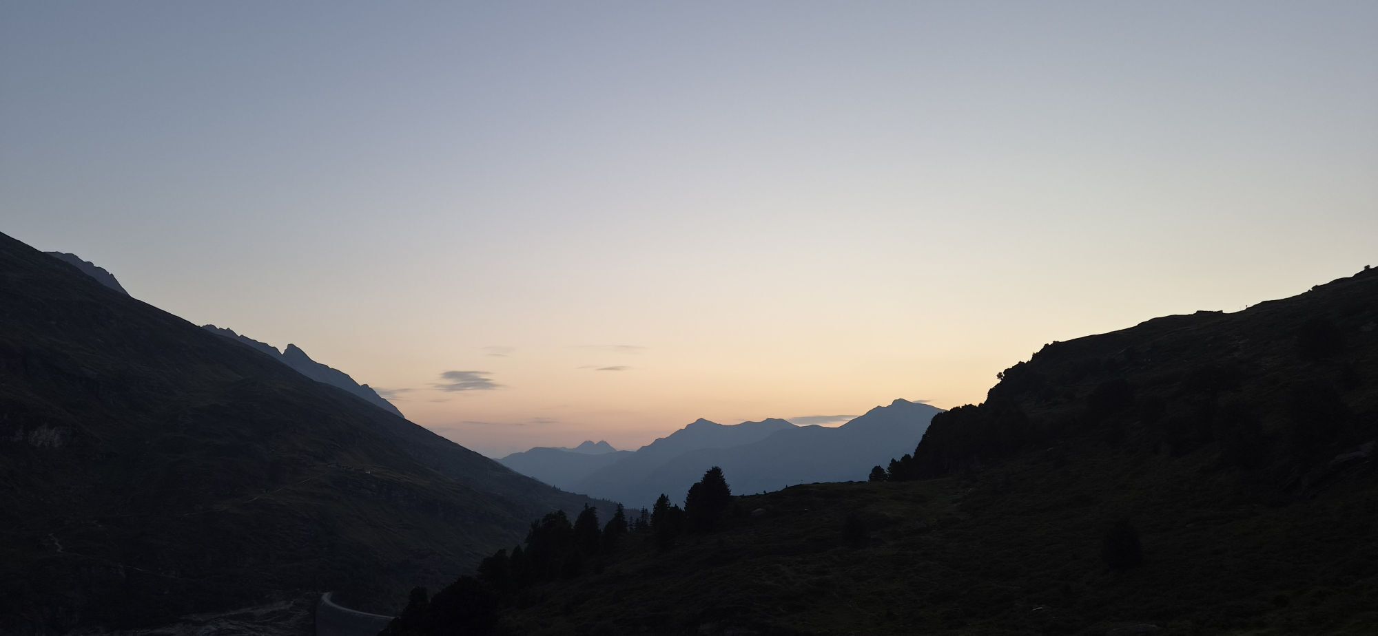
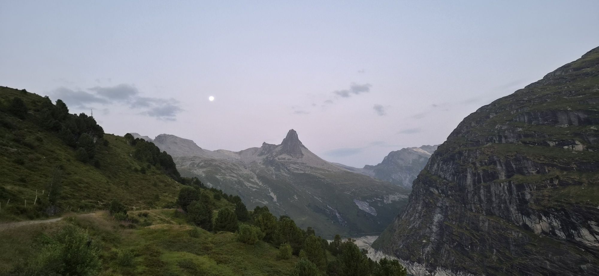
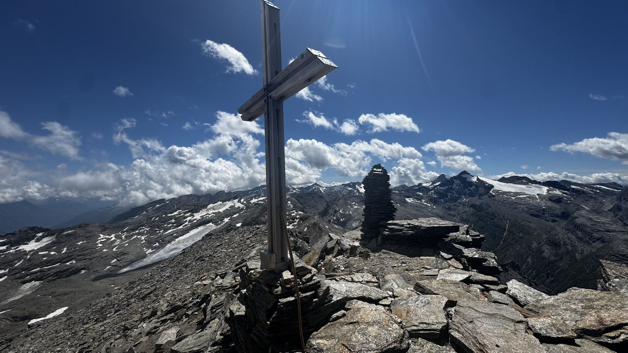
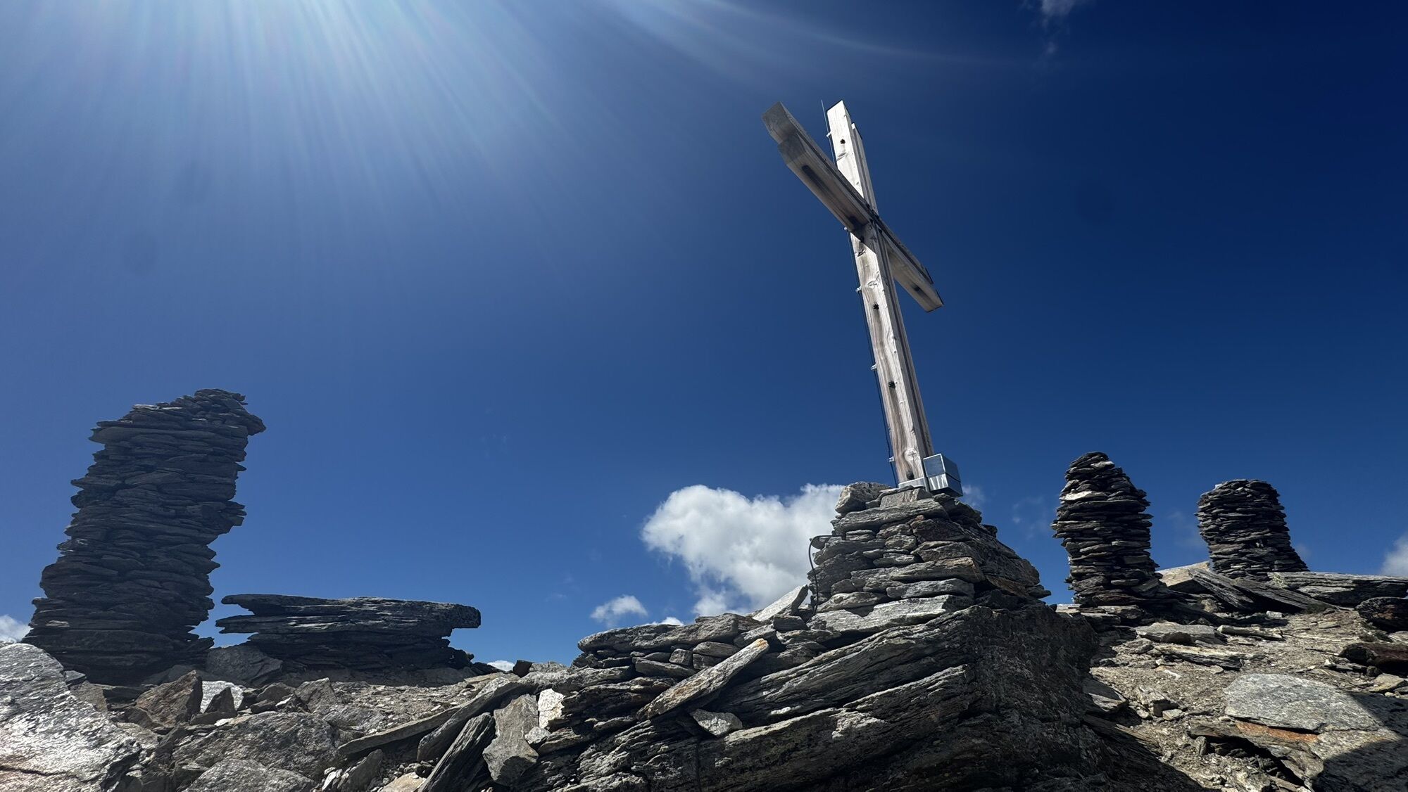
The Fanellhorn allows insights into a part of the Valsertal that remains hidden to most visitors. In the southeast of the mountain lie large mountain lakes and, with the Fanell Glacier, the second largest...
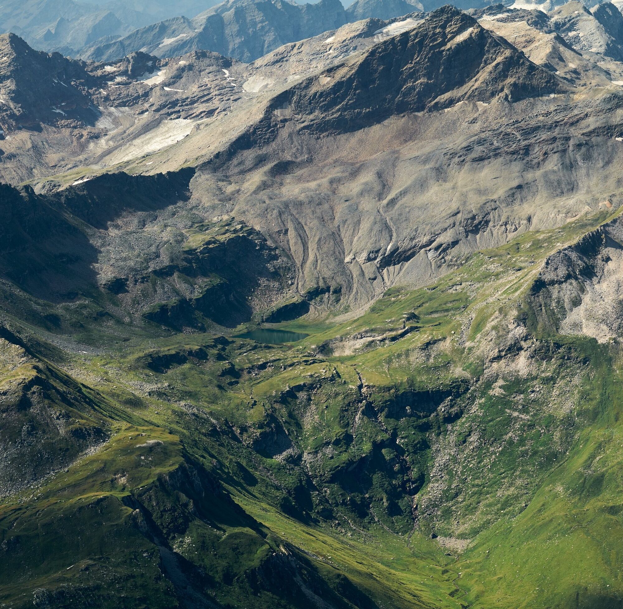
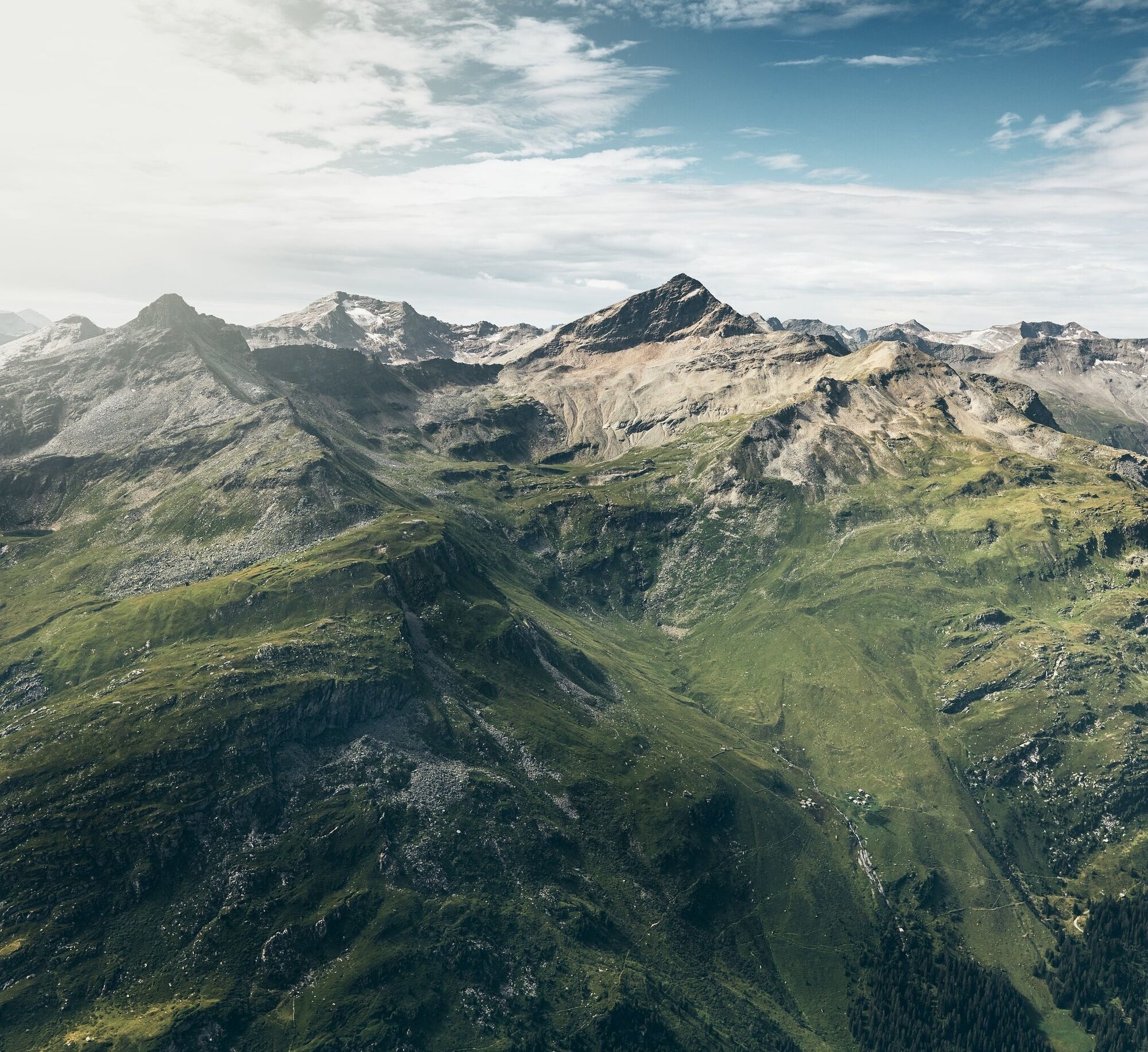
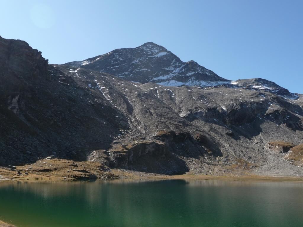
The Fanellhorn allows insights into a part of the Valsertal that remains hidden to most visitors. In the southeast of the mountain lie large mountain lakes and, with the Fanell Glacier, the second largest glacier of the Valsertal. From the summit, the snow-covered peaks of the Adula massif and the rugged rocky peaks towards the Rheinwald and Misox appear close enough to touch.

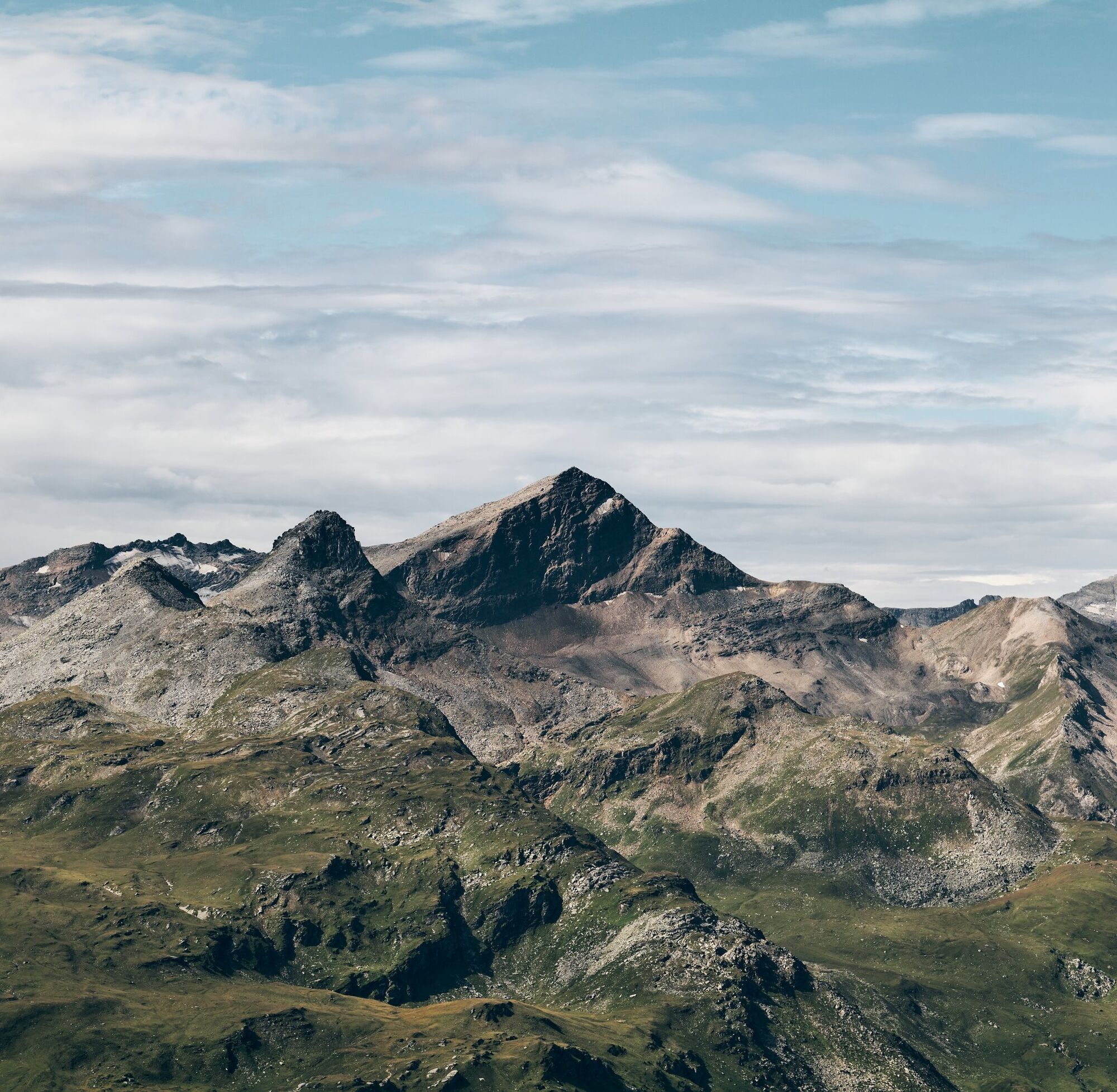
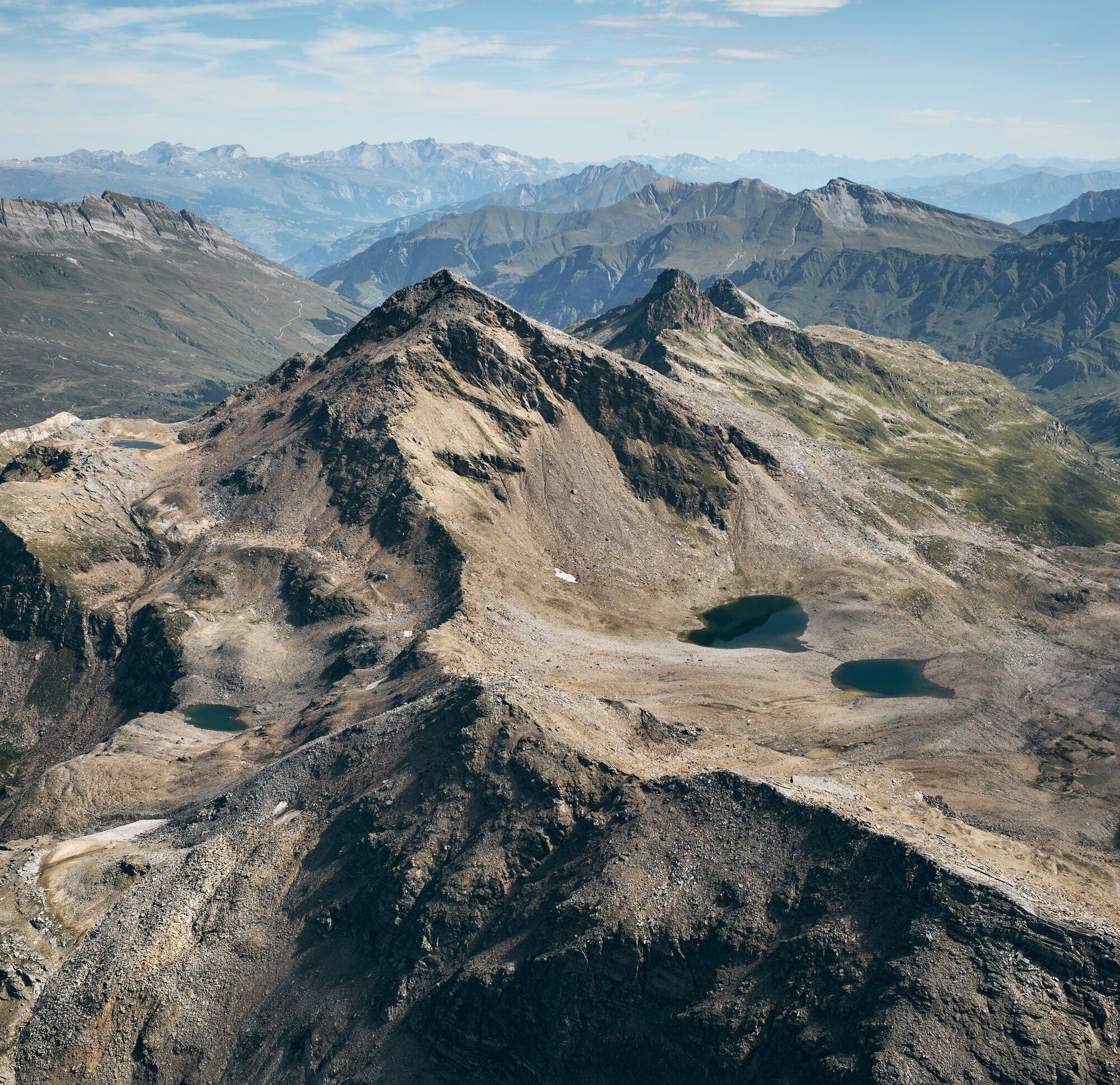

During the first half hour from the Restaurant Zervreila to the chapel on a paved path. From the chapel, the mountain trail begins.
From the parking lot at the Zerfreila chapel (1985 m) on a marked mountain trail in 1 hour 30 minutes to the Guraletschsee (2409 m). From there, following the markers in 1 hour 15 minutes to the lowest saddle of the Fanellgrätli (2710 m). In a further 1 hour 15 minutes along now blue-white markers, first near the northeast ridge, later through the middle of the east flank to the summit of the Fanellhorn (3124 m).
Áno
Áno
Solid, rainproof, warm clothing. Robust mountain or trekking shoes. Gloves, hat, sun protection. Hiking poles, provisions and drinks from the backpack, emergency medical kit, topographic map, mobile phone, flashlight.
Requirements: For good alpine hikers, technically an easy route (T4) that requires caution at the summit in wet, cold, snowy, or foggy conditions.
On this hike, you must expect mother cows.
Detailed information on behavior: https://www.wandern.ch/de/wandern/sicher-unterwegs/mutterkuhherden
Via Chur-Ilanz-Vals to Zerfreila
From Ilanz with the PostBus to Vals and onwards to Zerfreila (summer only).
Parking lot at Restaurant Zervreila.
Fanellhorn 3123m – route reports and photos [hikr.org]
Refreshments: At the kiosk Peil or the Restaurant Zervreila
Ascent variant: Up to Fanellgrätli also from the Peiltal or directly from Vals (marked mountain trail).
On the route from Vals to Peil, the Valser hiking bus operates. Information and registration: Tel. 081 935 16 49





Obľúbené výlety v okolí
-
5,0
Panorama route
svetloTuristika 5,39 km -
5,0
2-day hike Greina high plateau
ťažkéTuristika 15,5 km -
Giro della Greina
Turistika 50,6 km -
3,3
3-lake hike
strednáTuristika 12,8 km -
5,0
Winter hike Gadastatt - Frunt - Zerfreila (Panorama trail)
svetloZimná turistika 5,36 km -
5,0
Southeast Switzerland Hiking Day Vals 2017
svetloTuristika 11,8 km -
3,5
Places of Magic - Lumbrein
strednáTuristika 8,74 km -
Furggelti 2712m
ťažkéTuristika 18,7 km -
Piz Terri, 3.149 m
strednáVysoké turné 6,92 km -
5,0
Hike Vrin - Uors over the suspension bridge Val da Silgin
strednáTuristika 12,3 km
Turistika a stopovanie


Nenechajte si ujsť ponuky a inšpiráciu na ďalšiu dovolenku
Vaša e-mailová adresa bol pridaný do poštového zoznamu.





