







Schesaplana round route
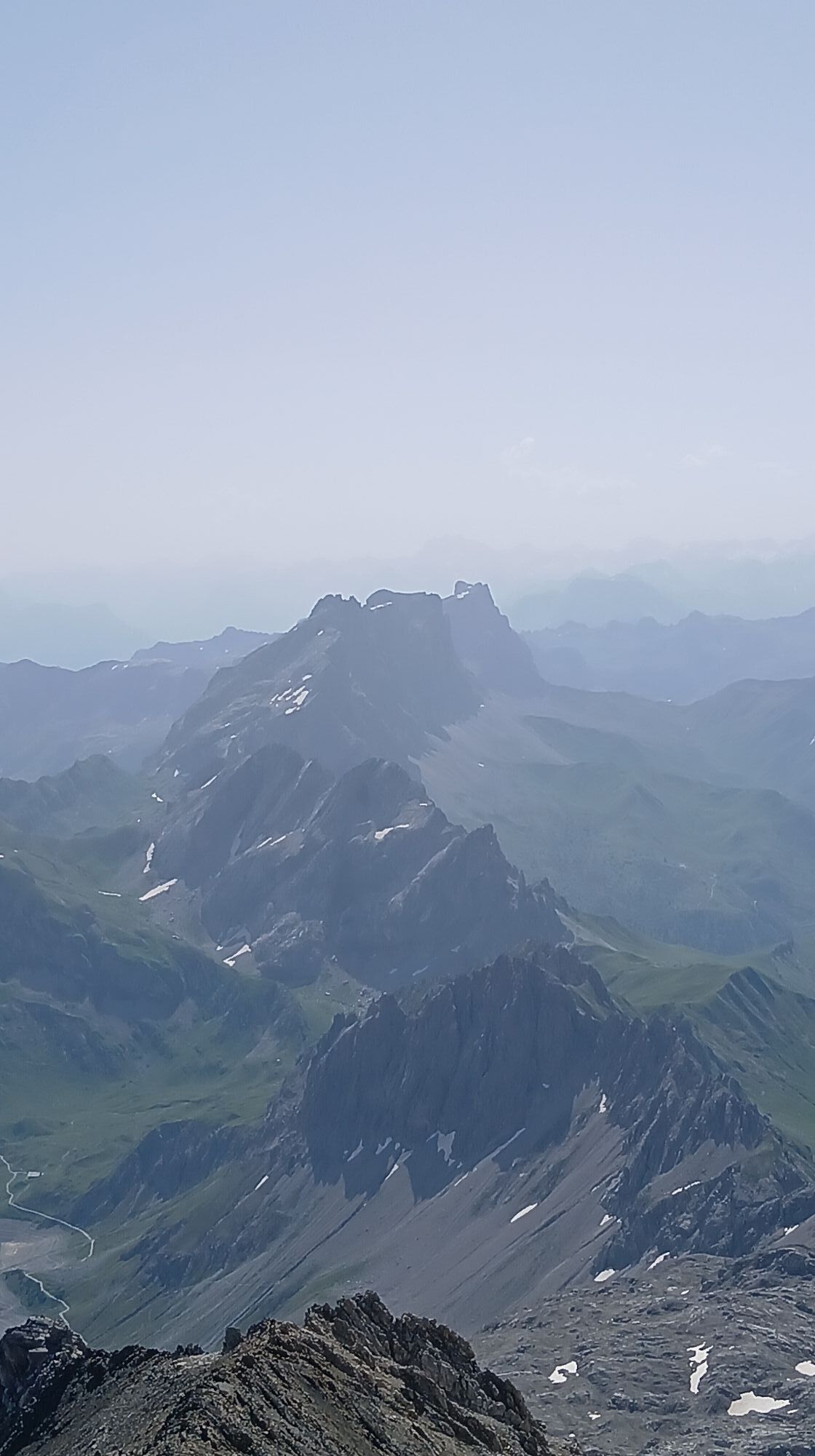
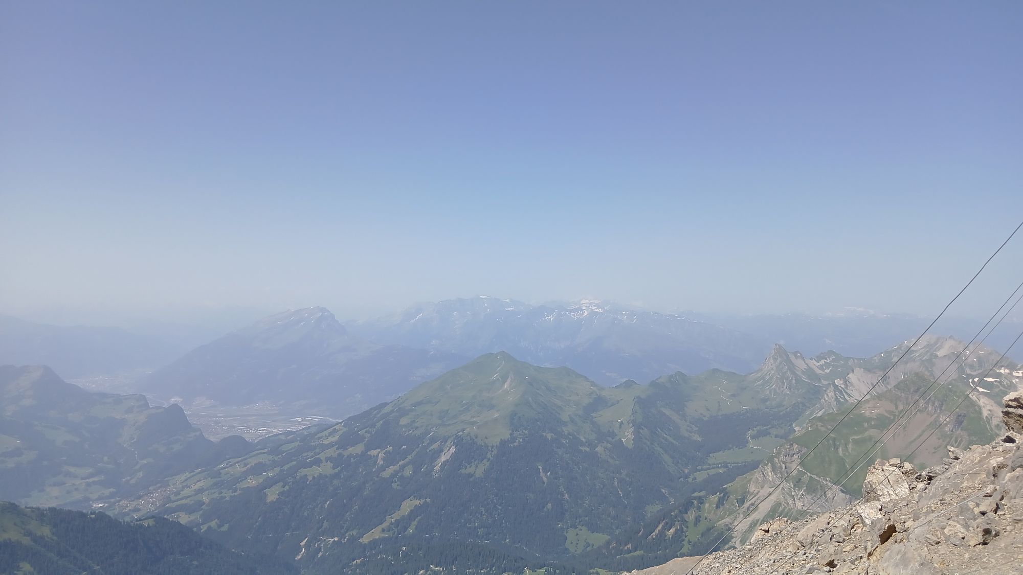
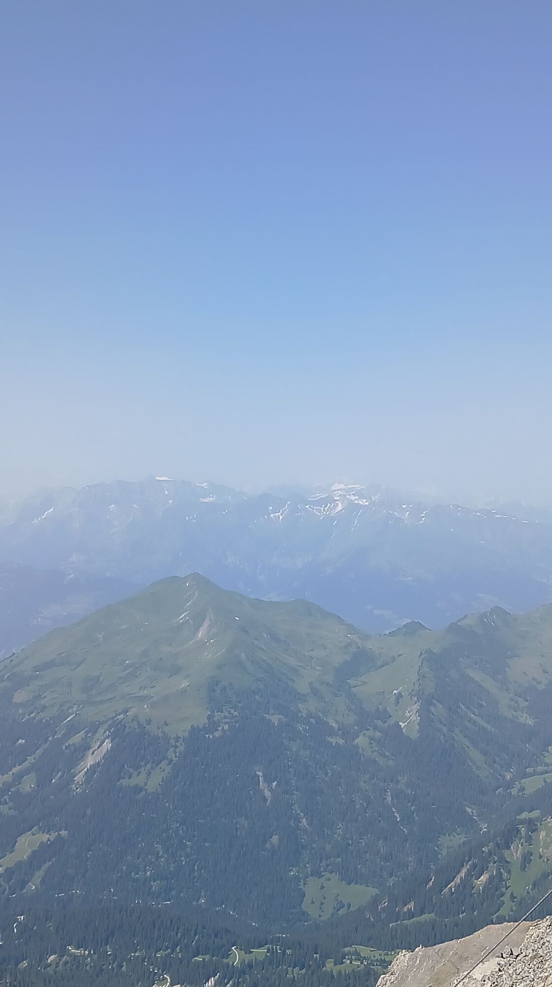
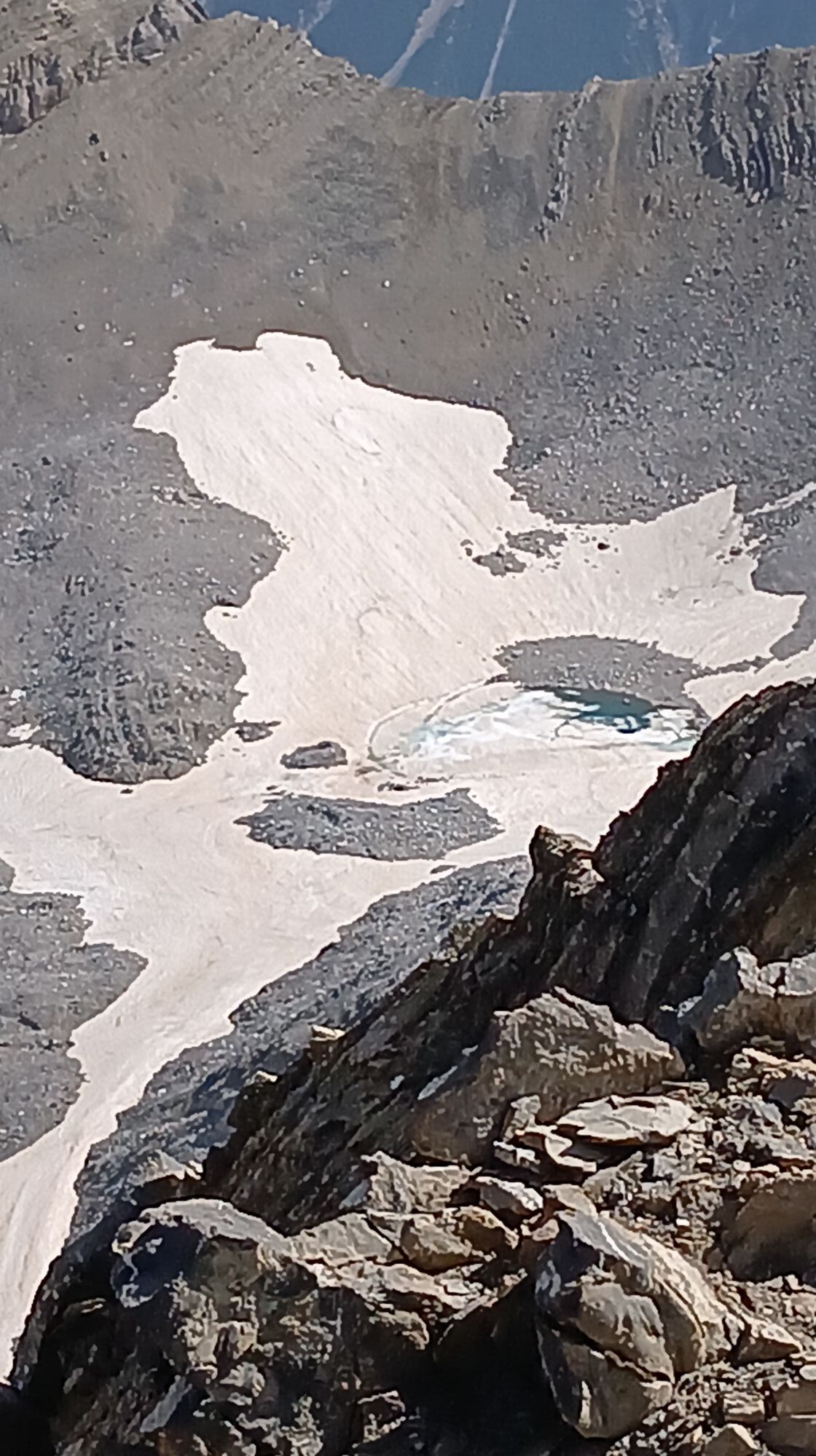
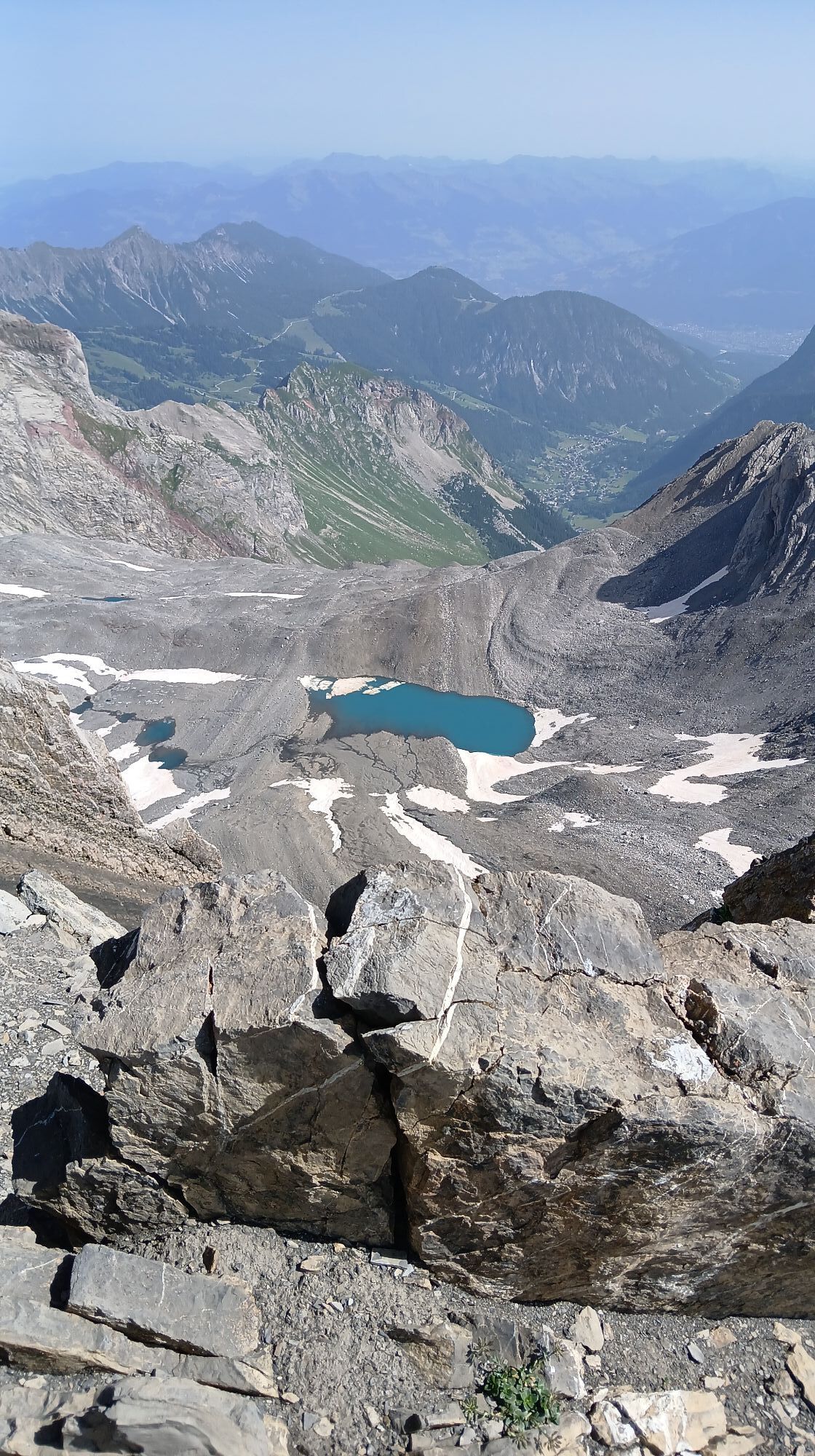
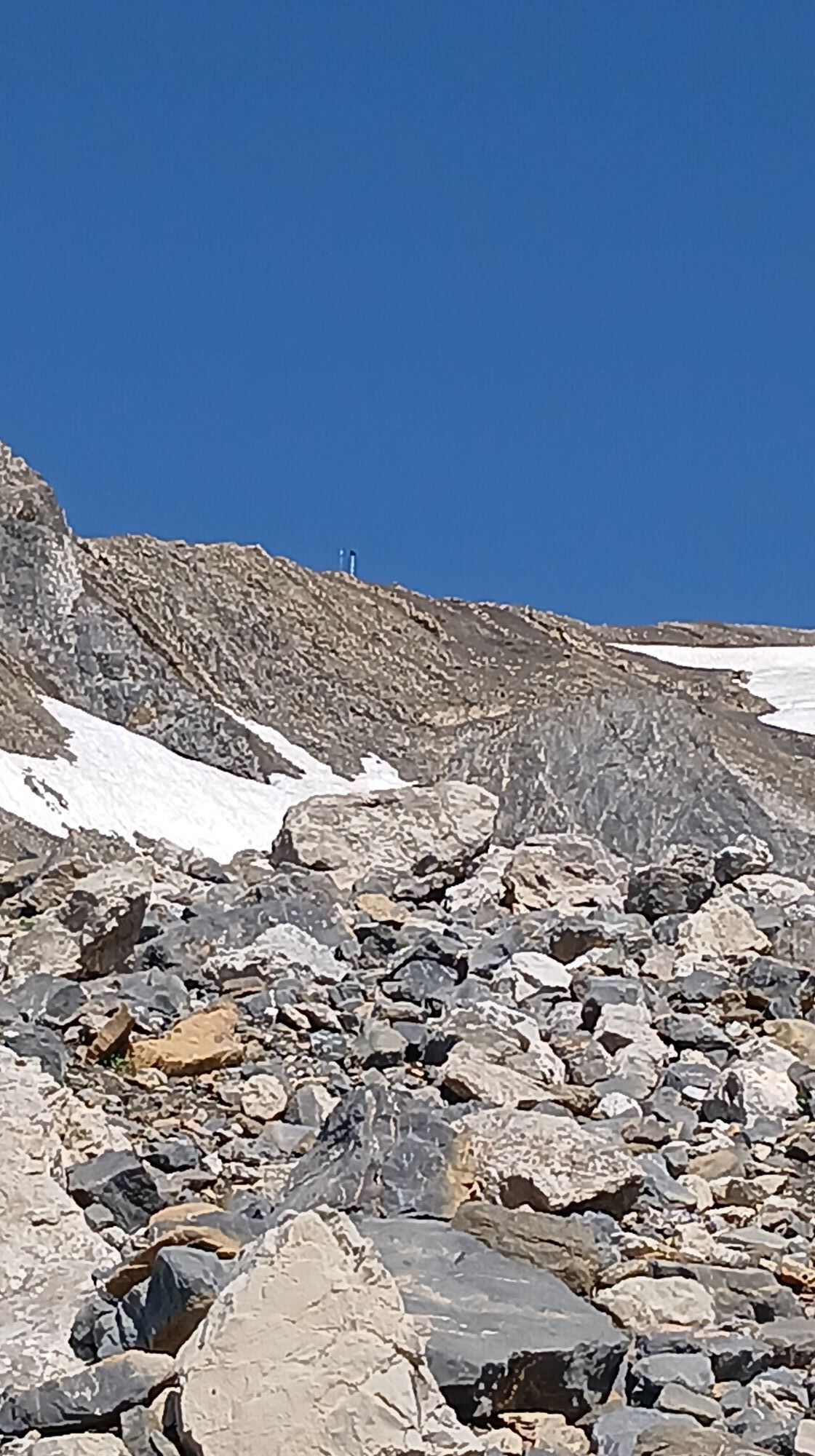
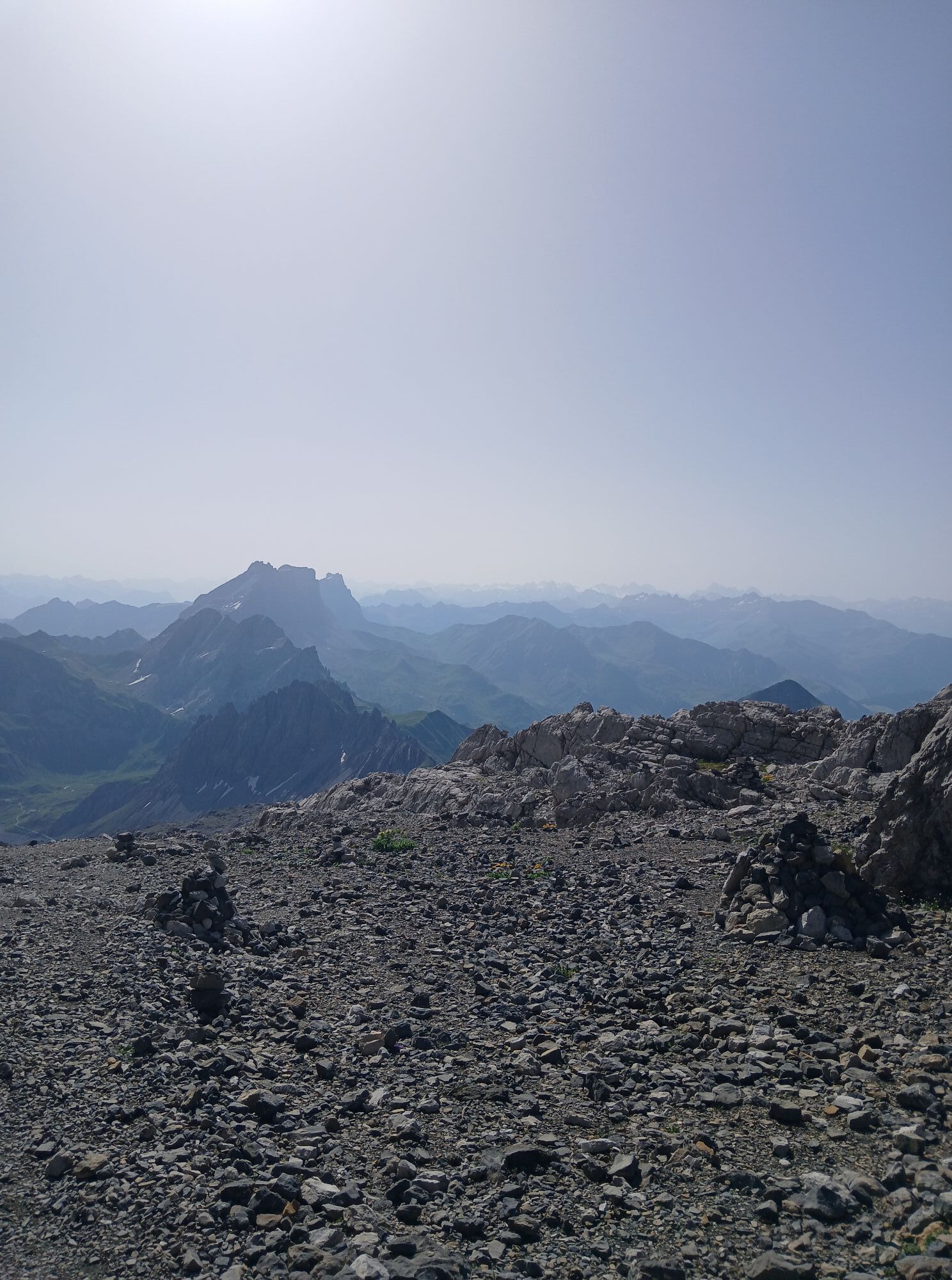
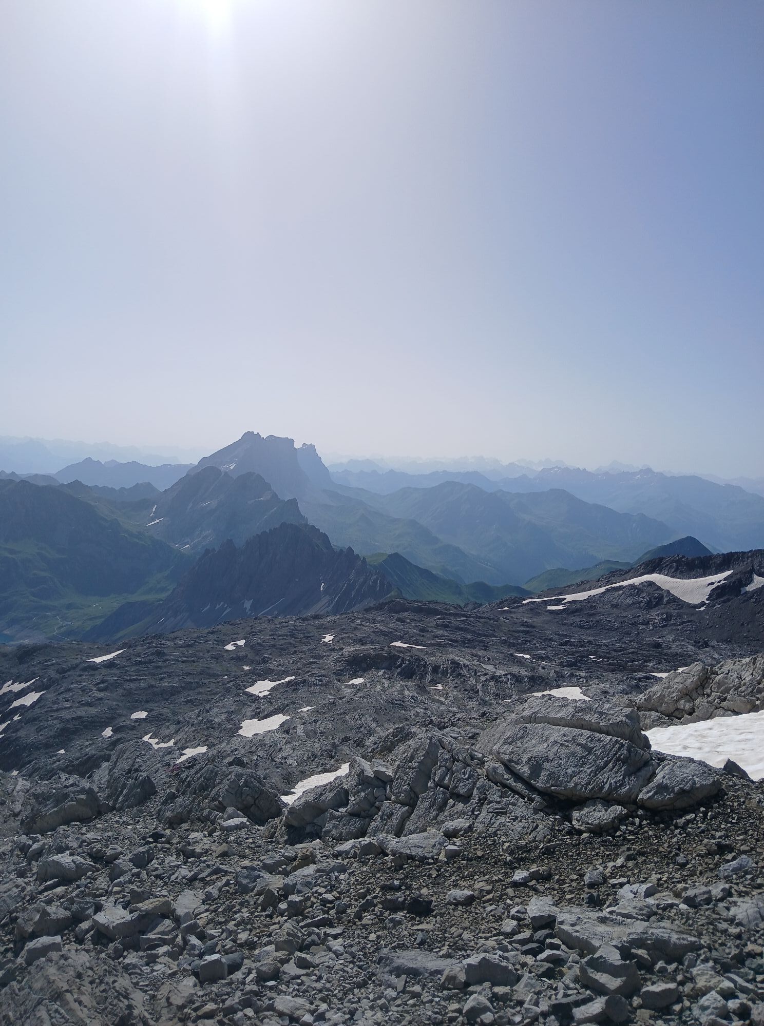
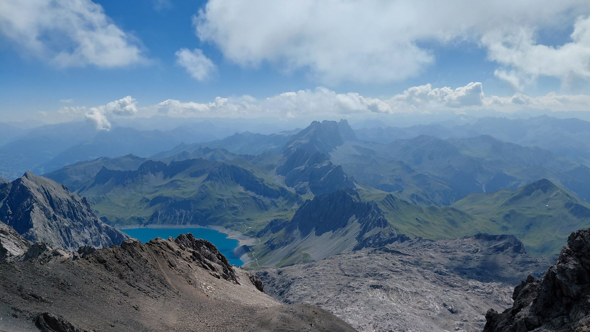
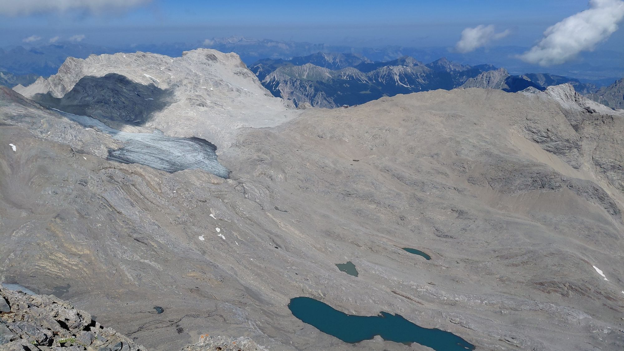
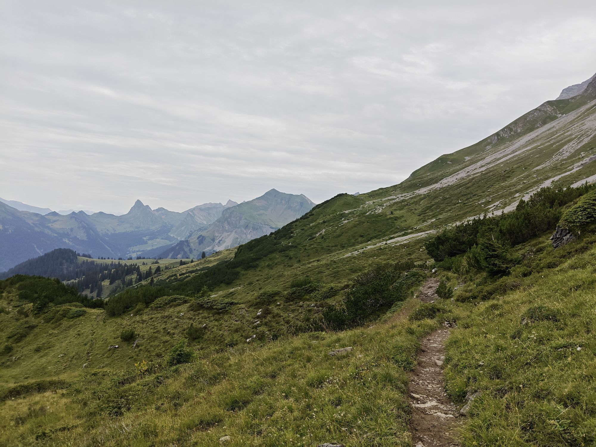
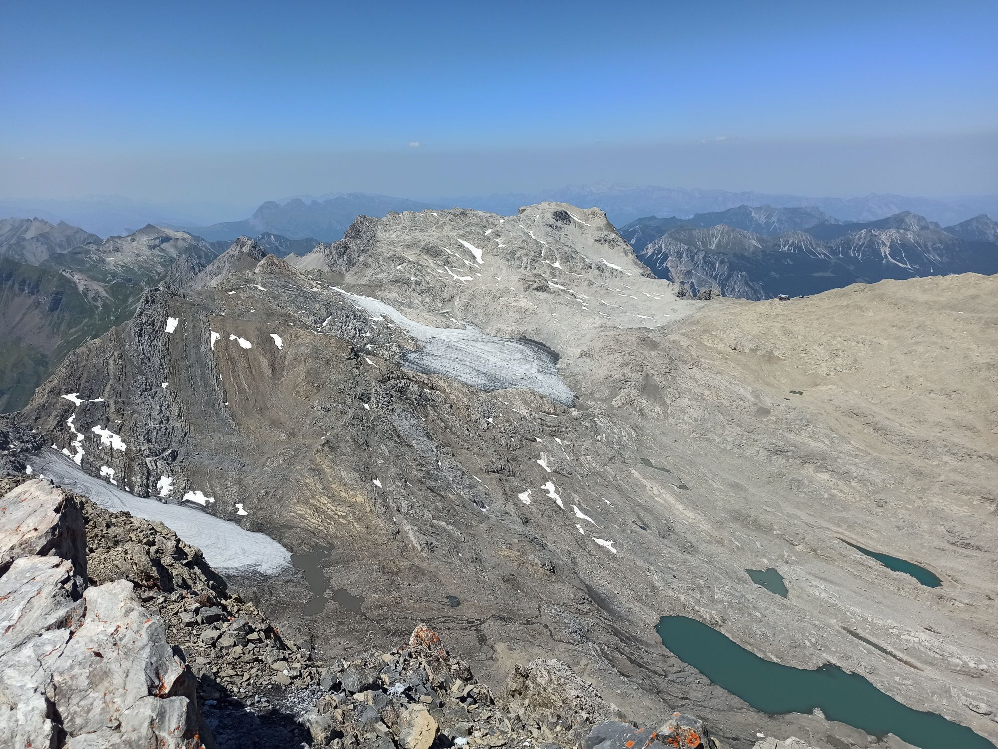
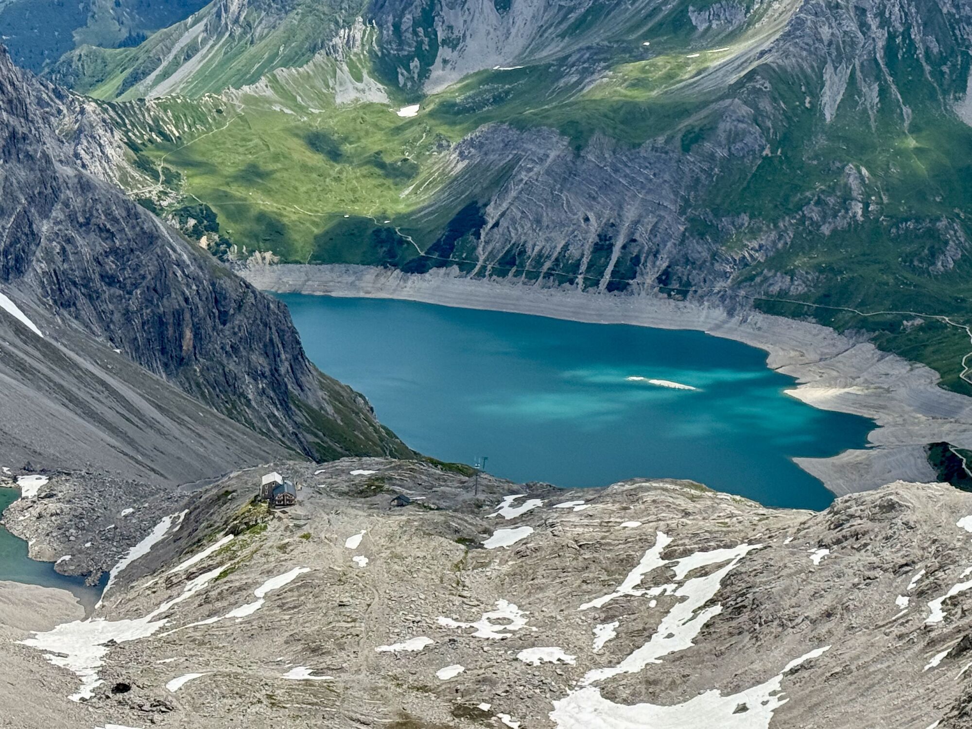
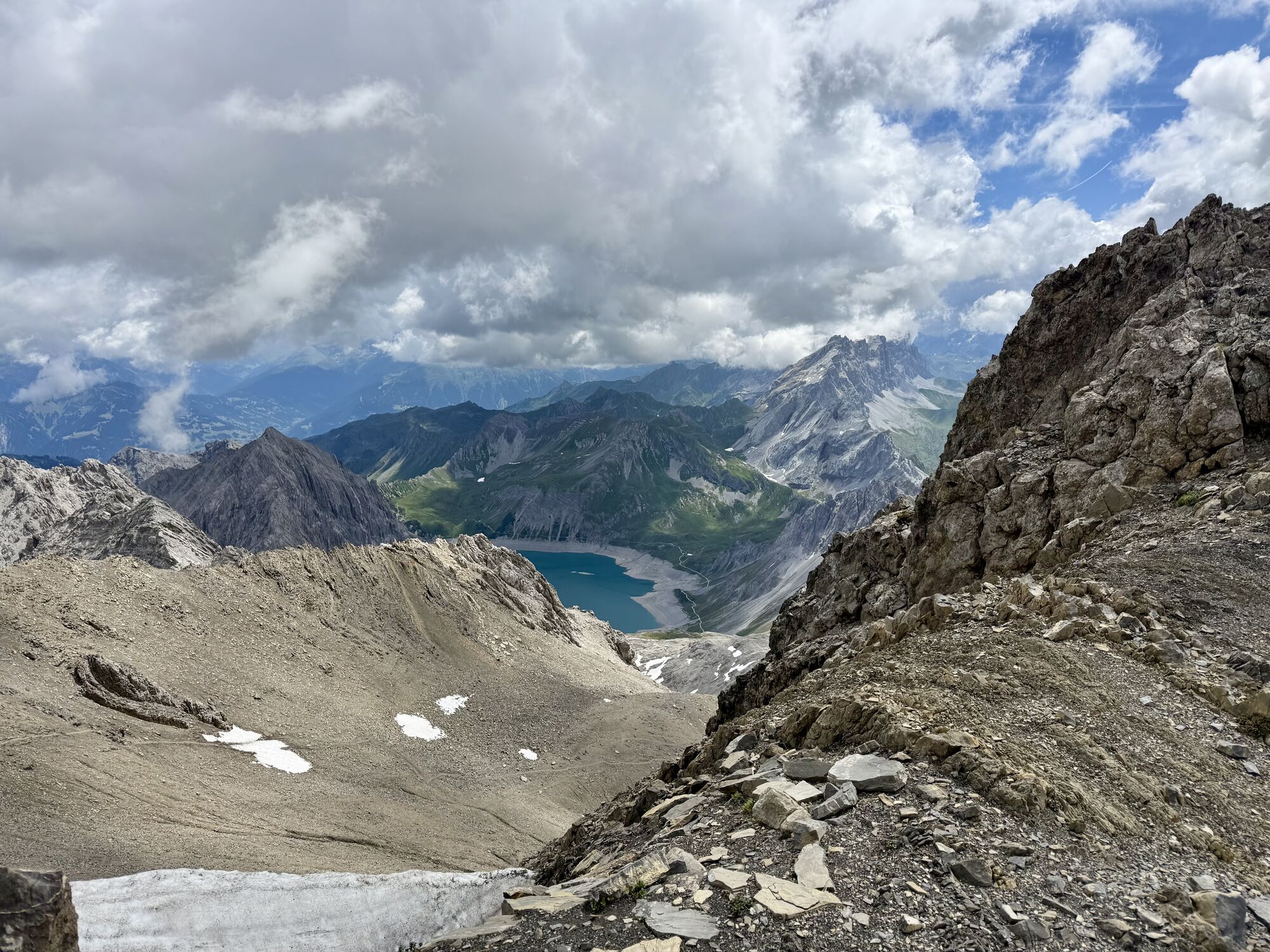
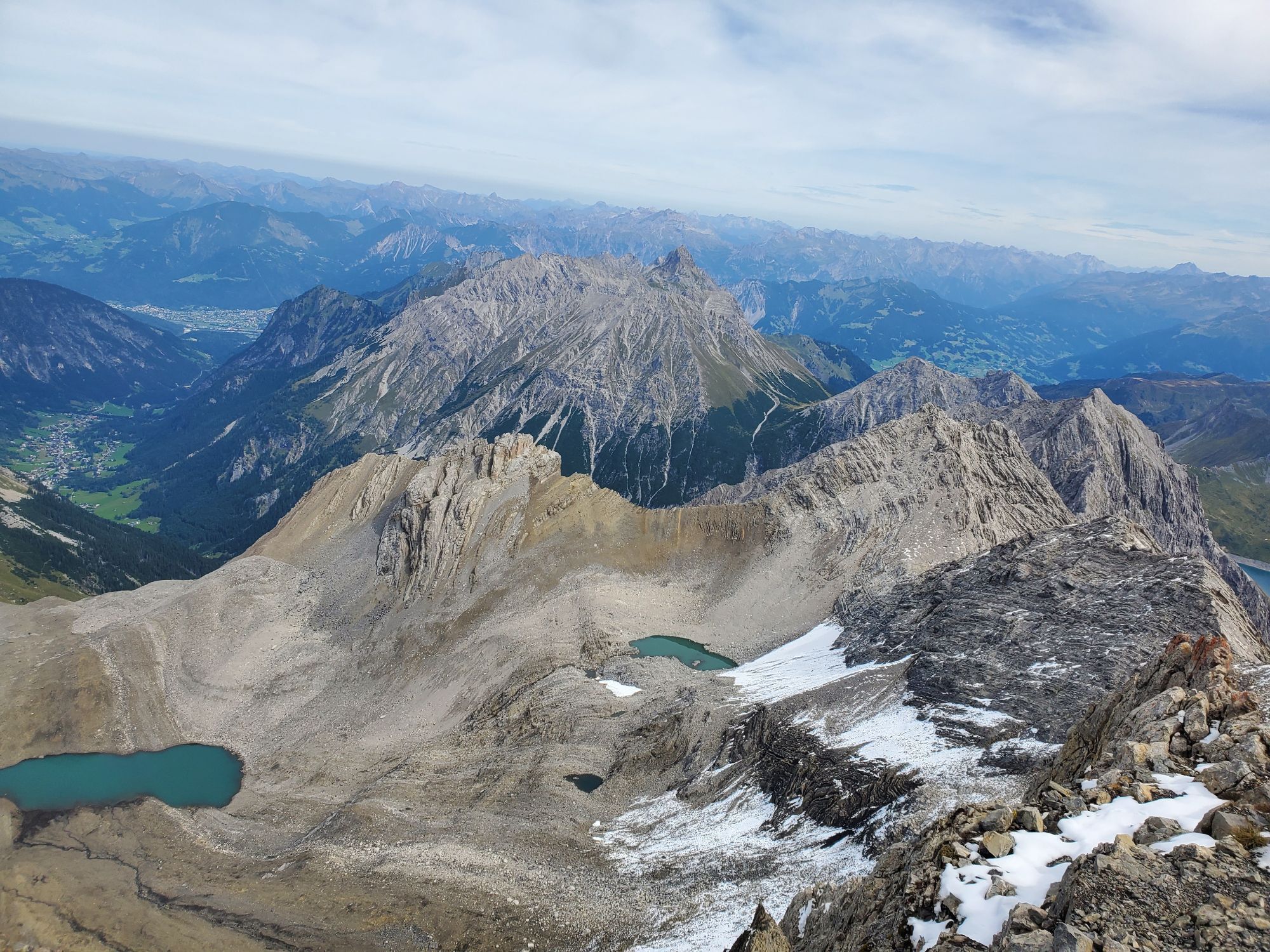
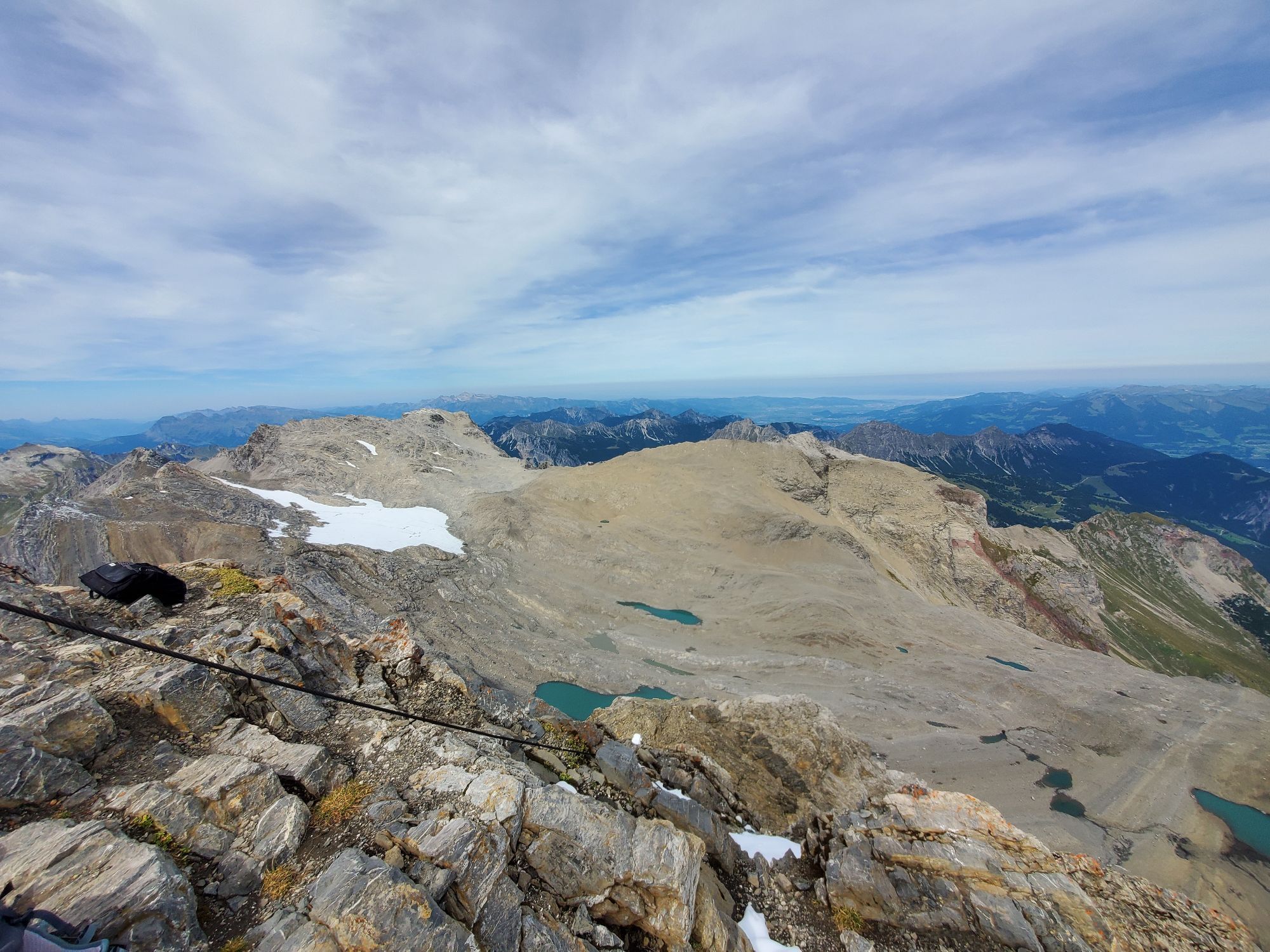
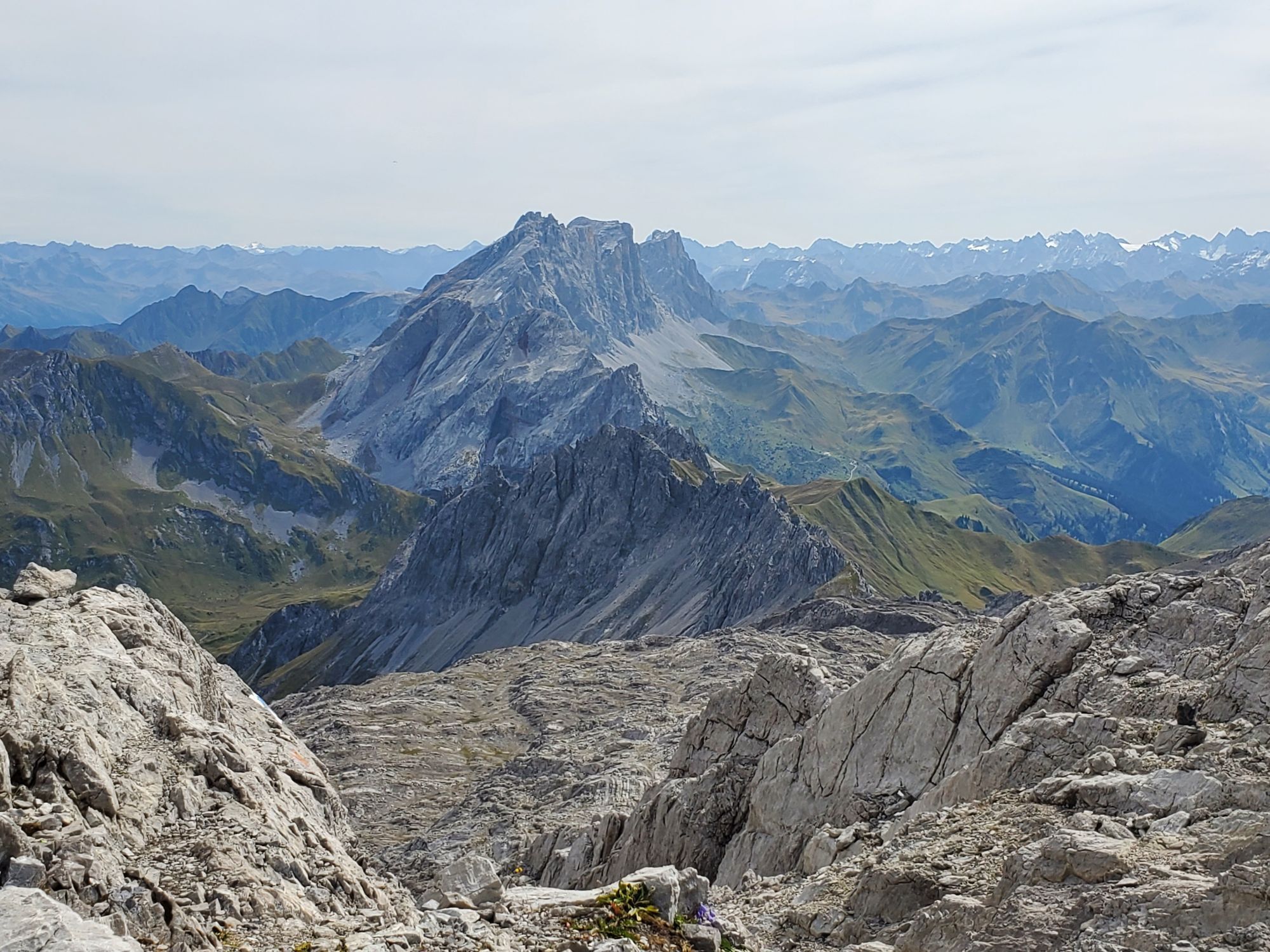
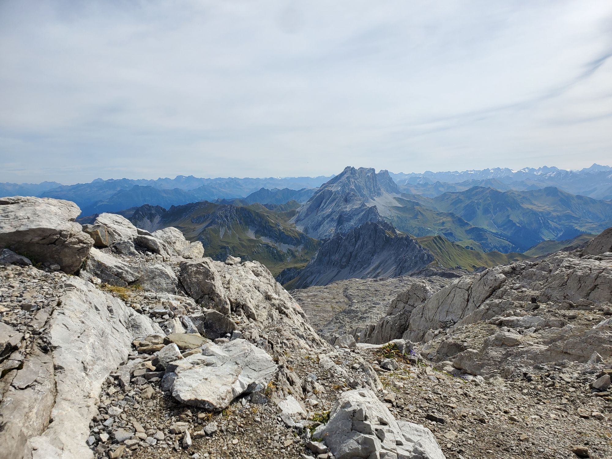
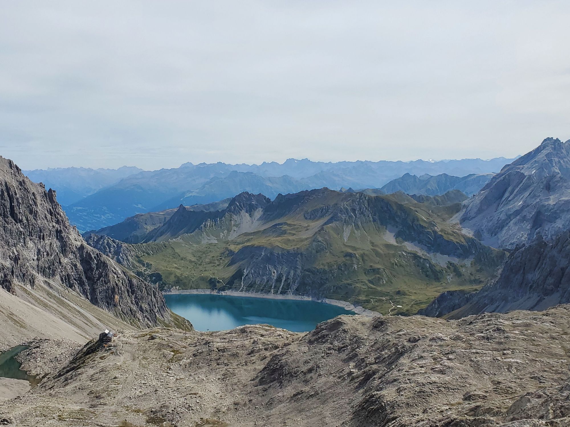
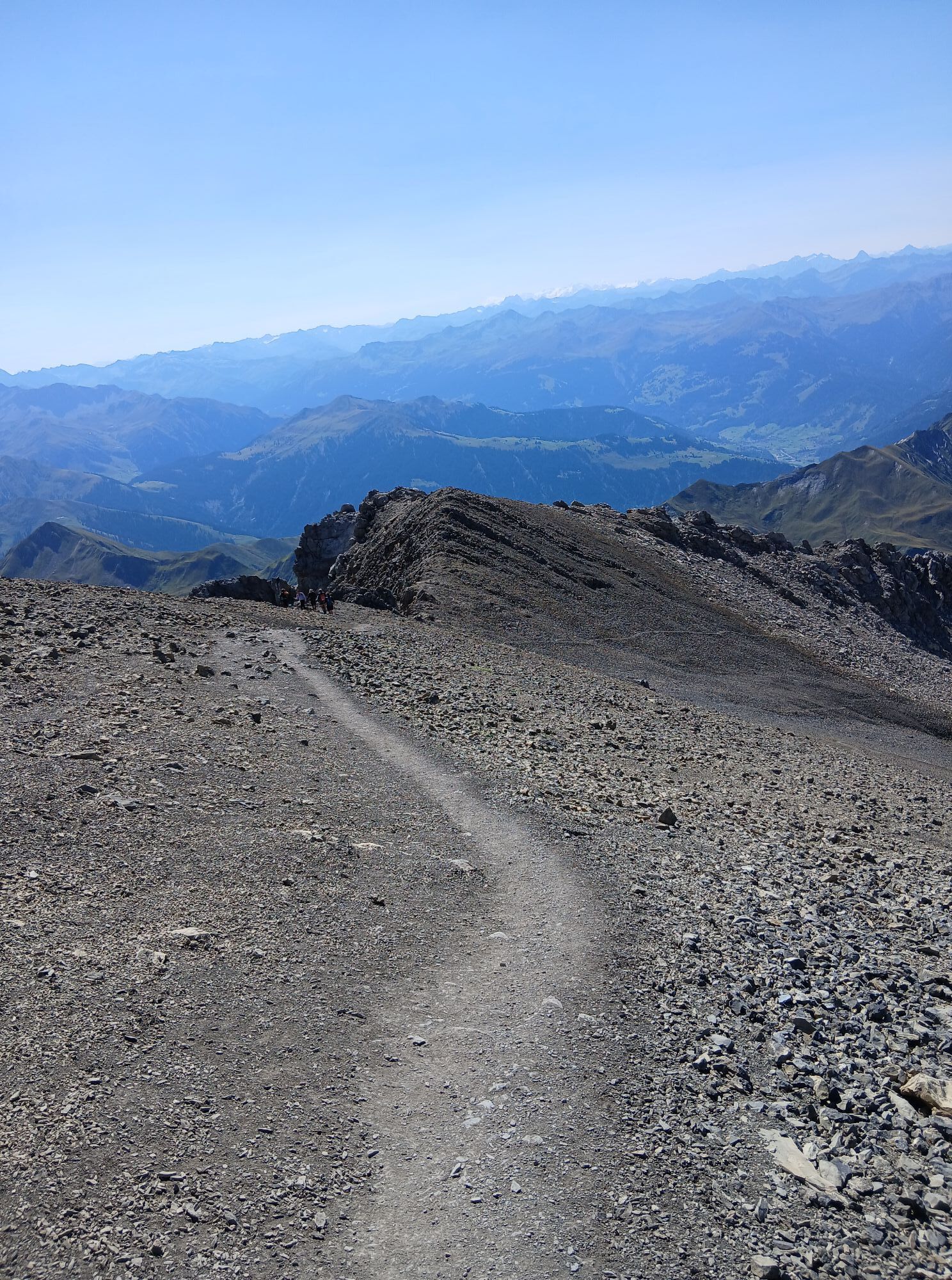
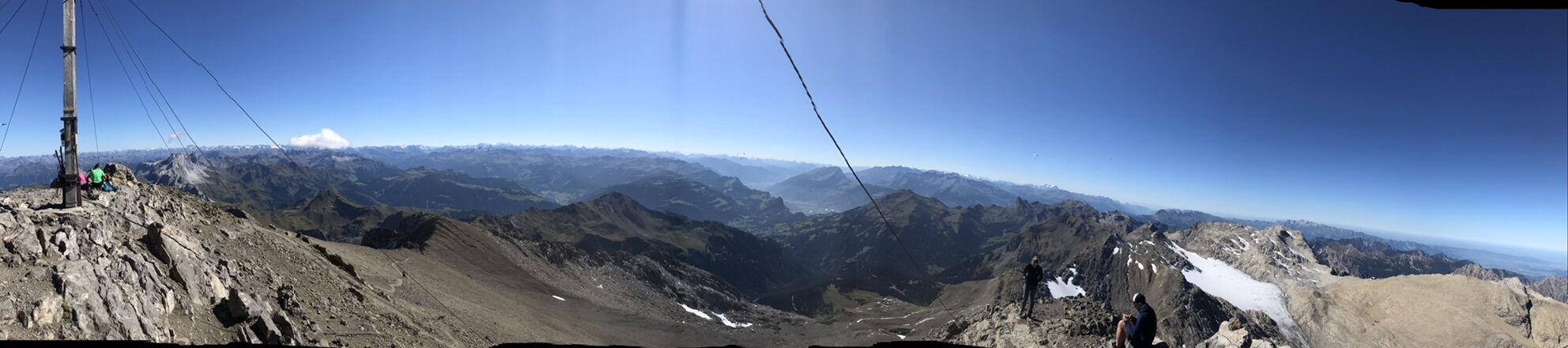
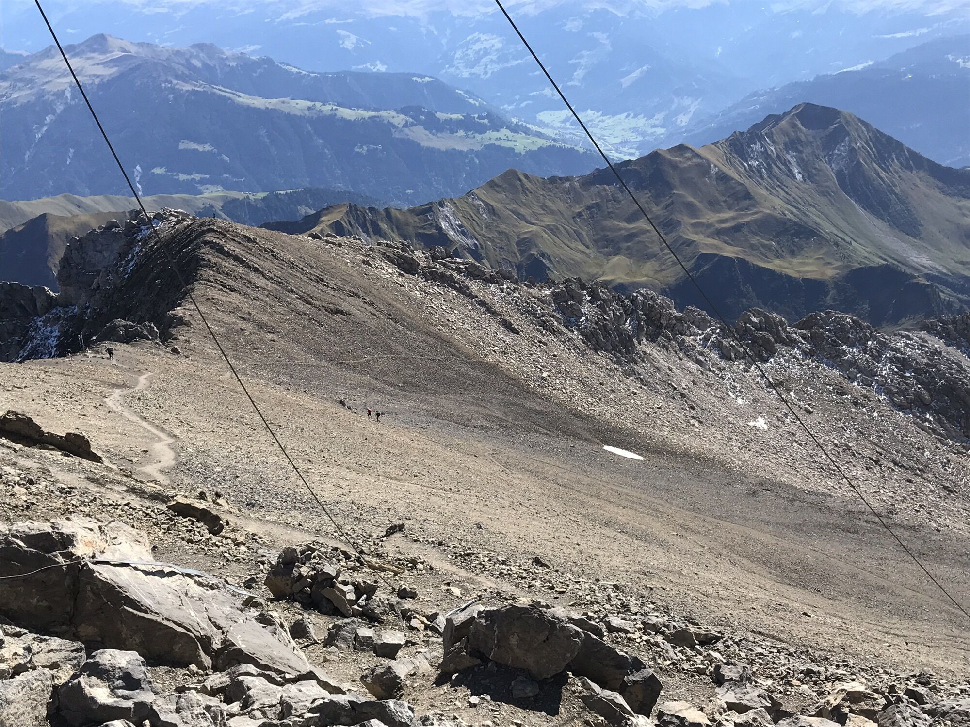
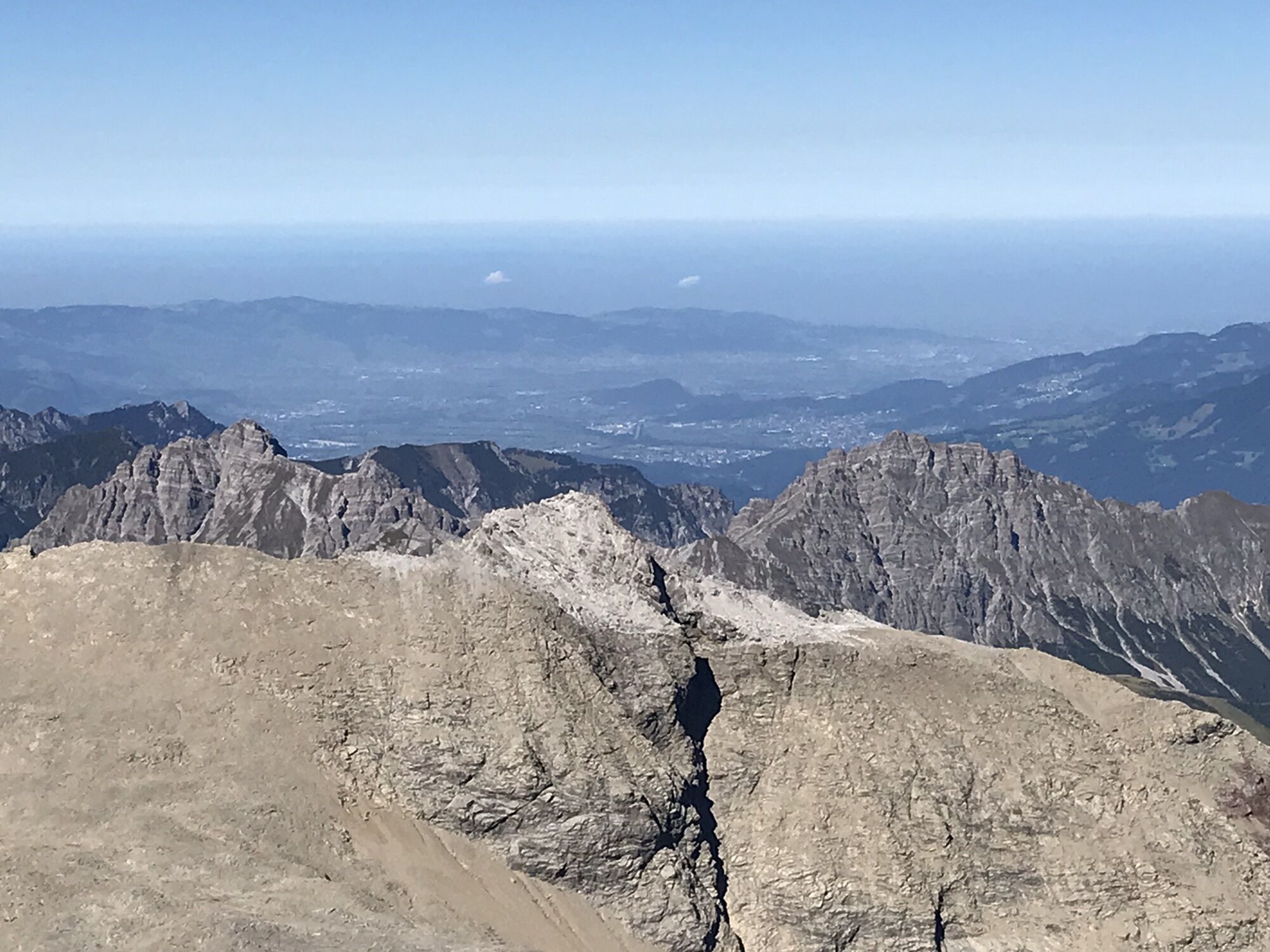
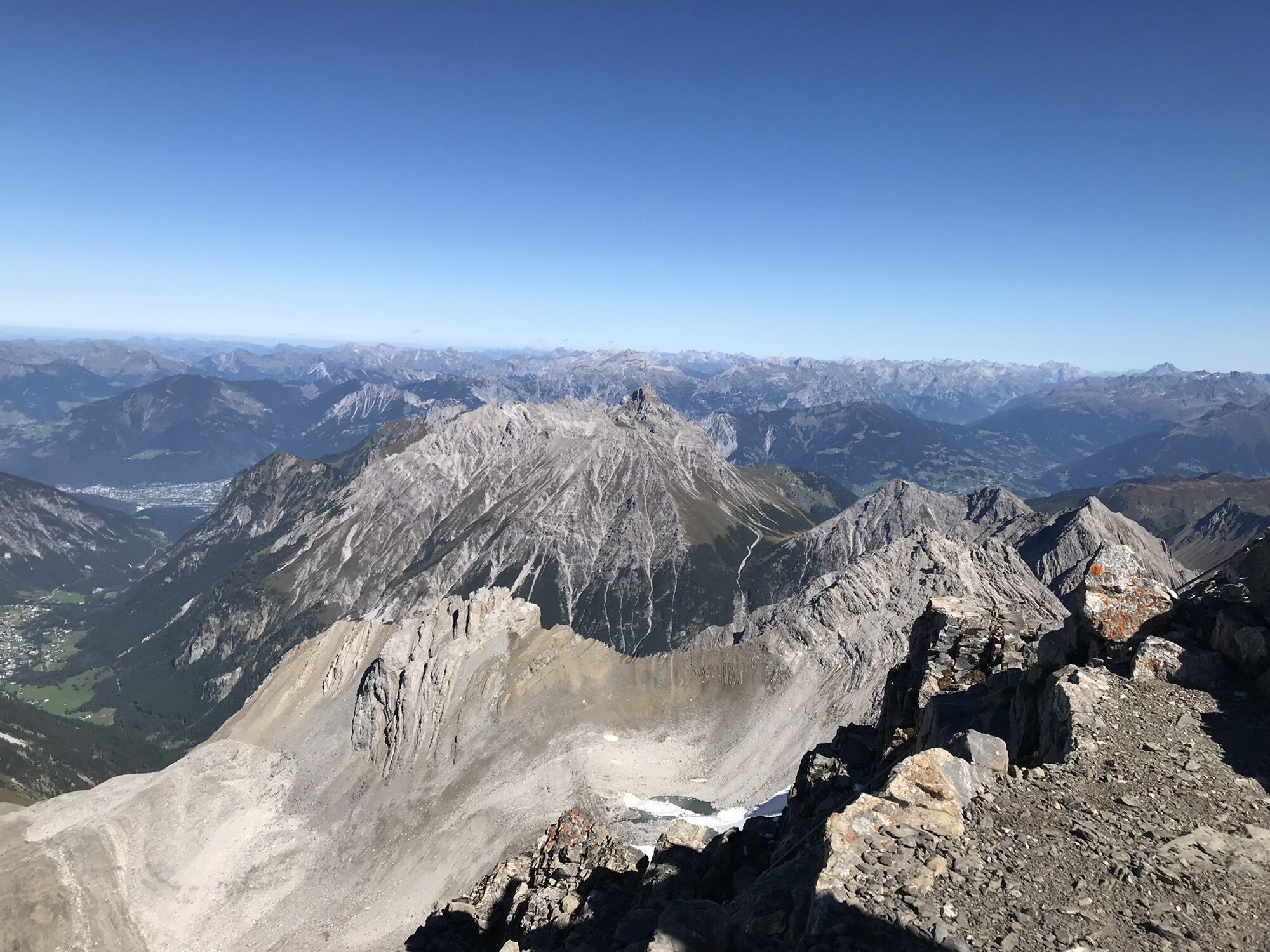
Seemingly insurmountable, the rock ridge towers above the Schesaplanahütte. But the Schweizerweg leads safely and directly to the summit. First, steep grass slopes go up to the rock band, where the white-blue...
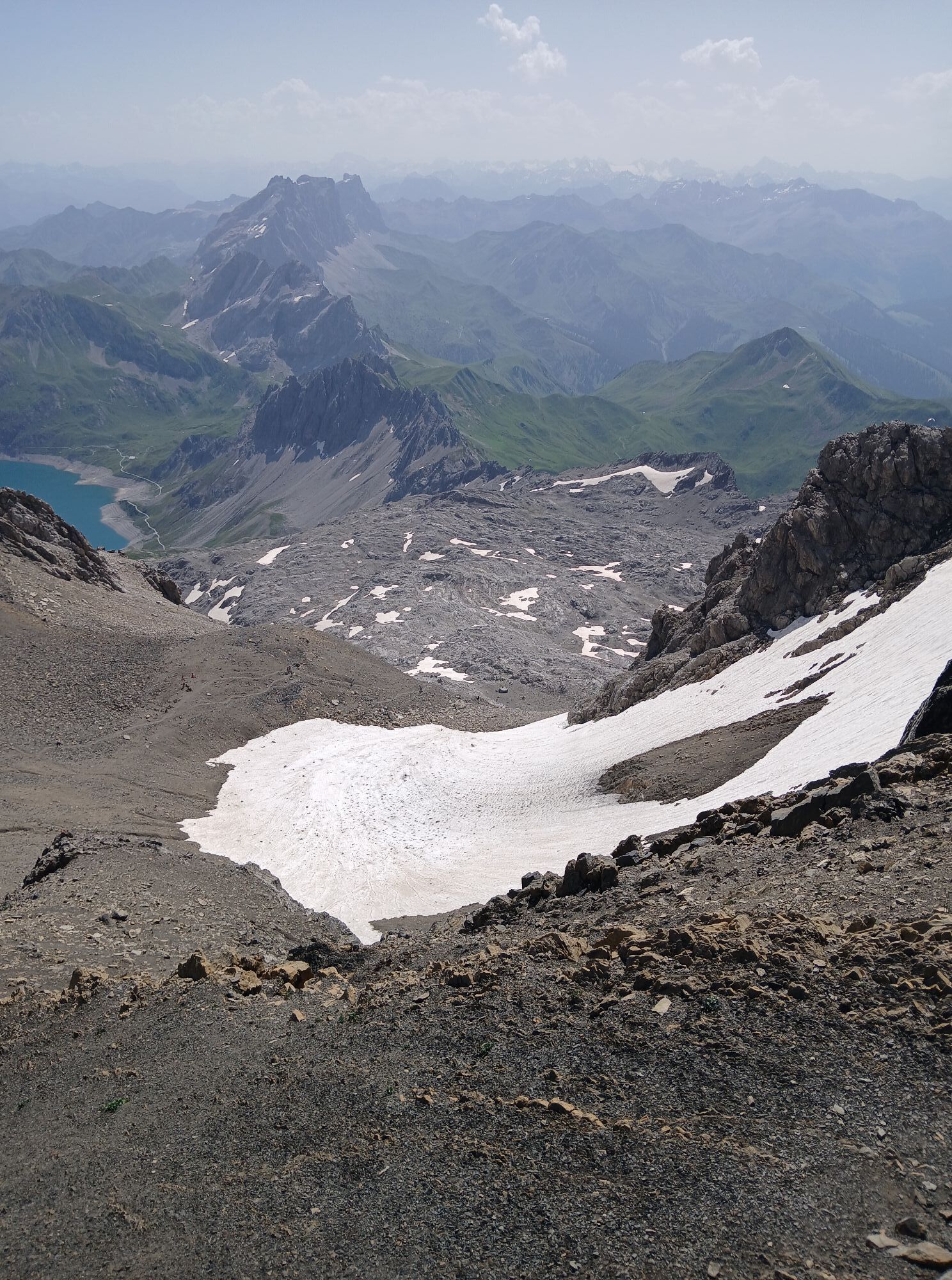
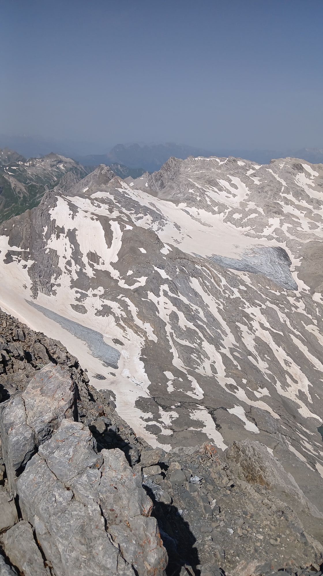
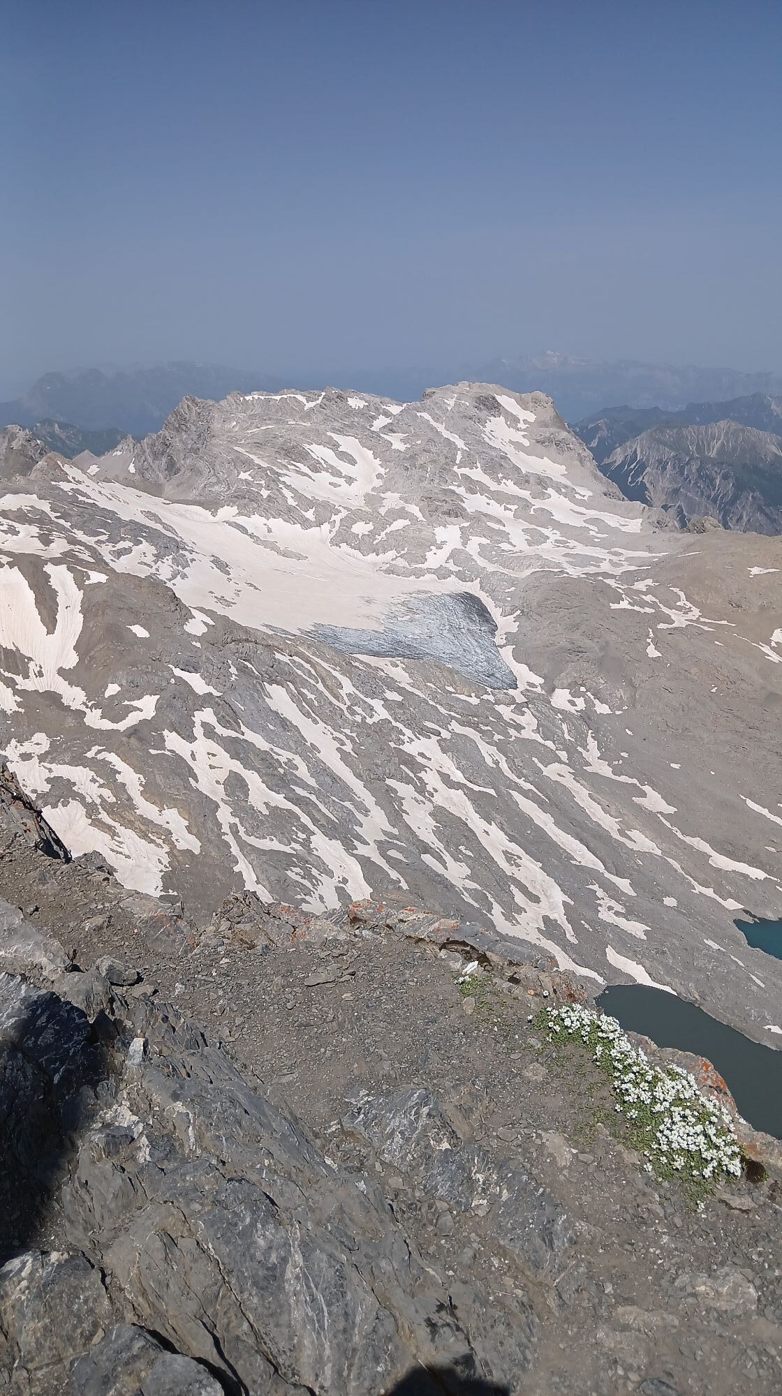
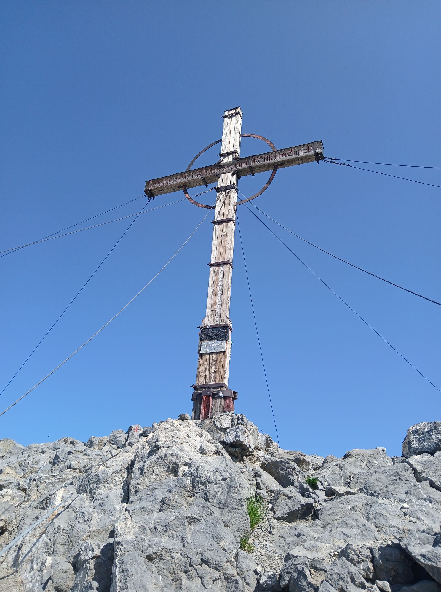
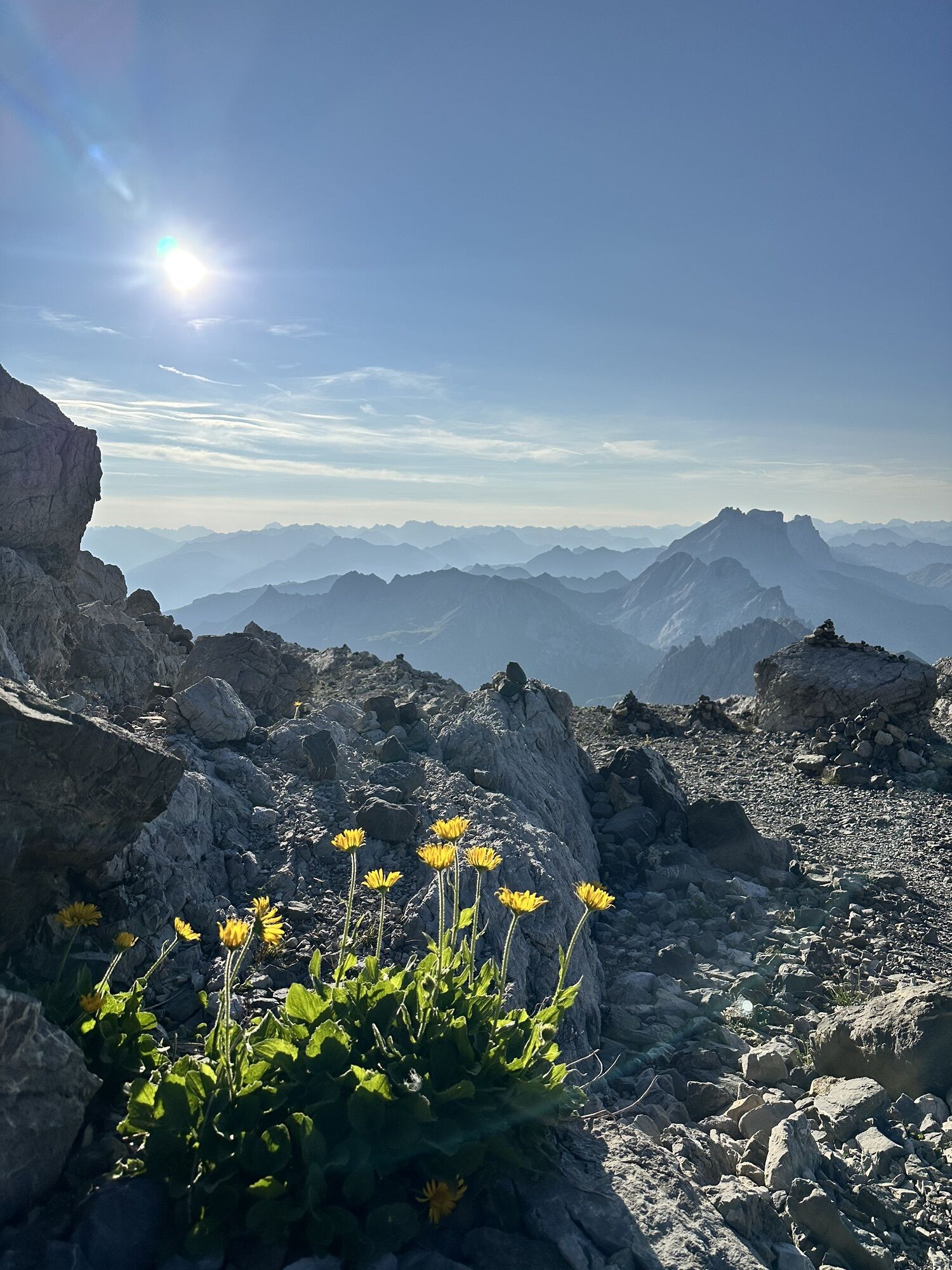
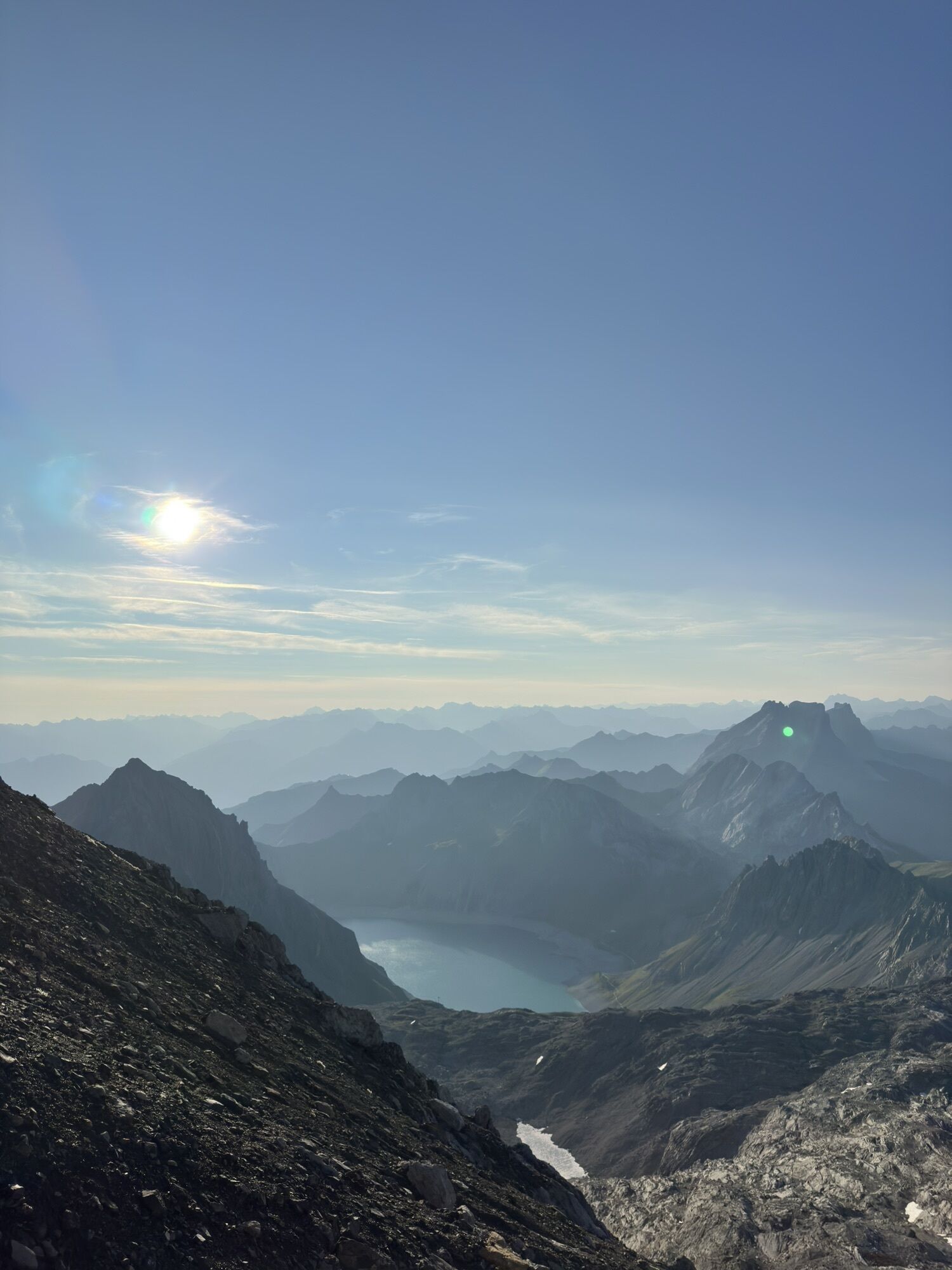
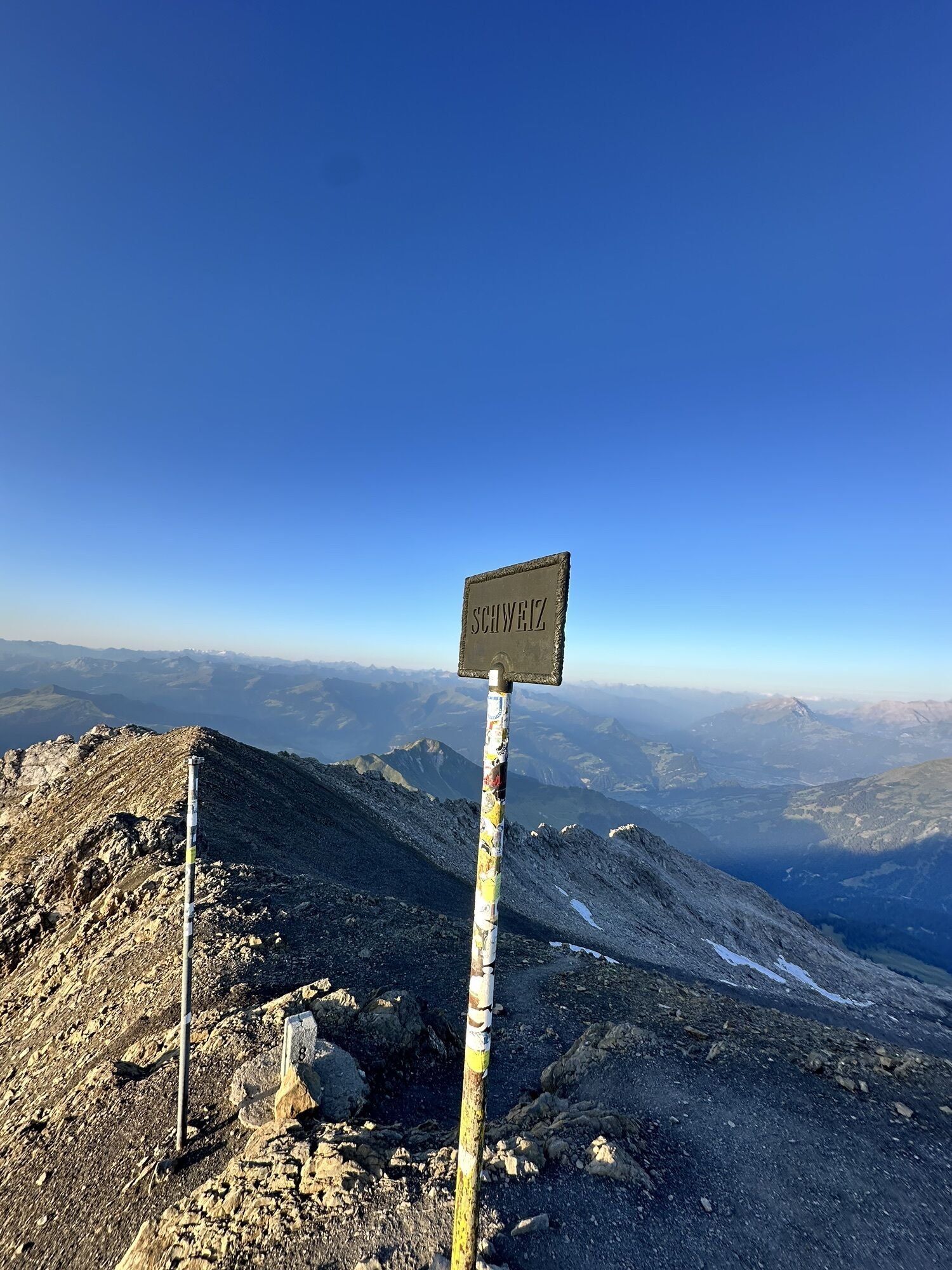
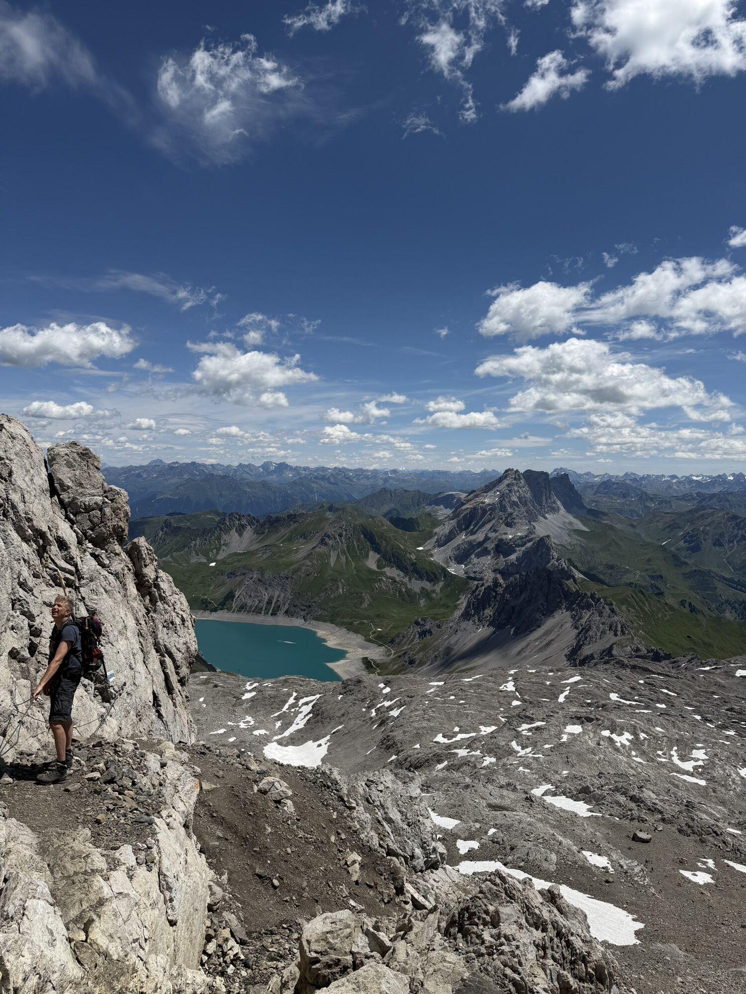
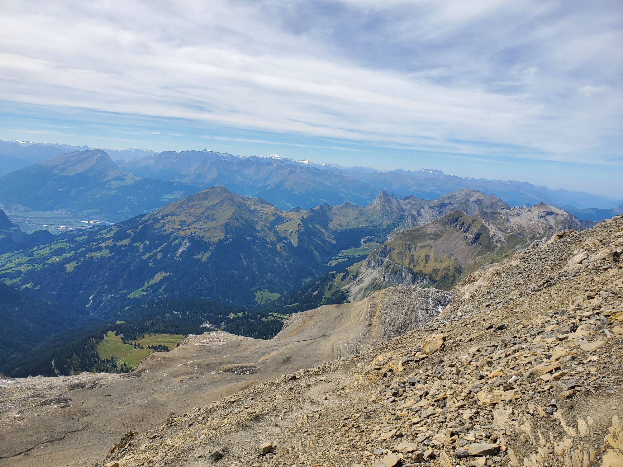
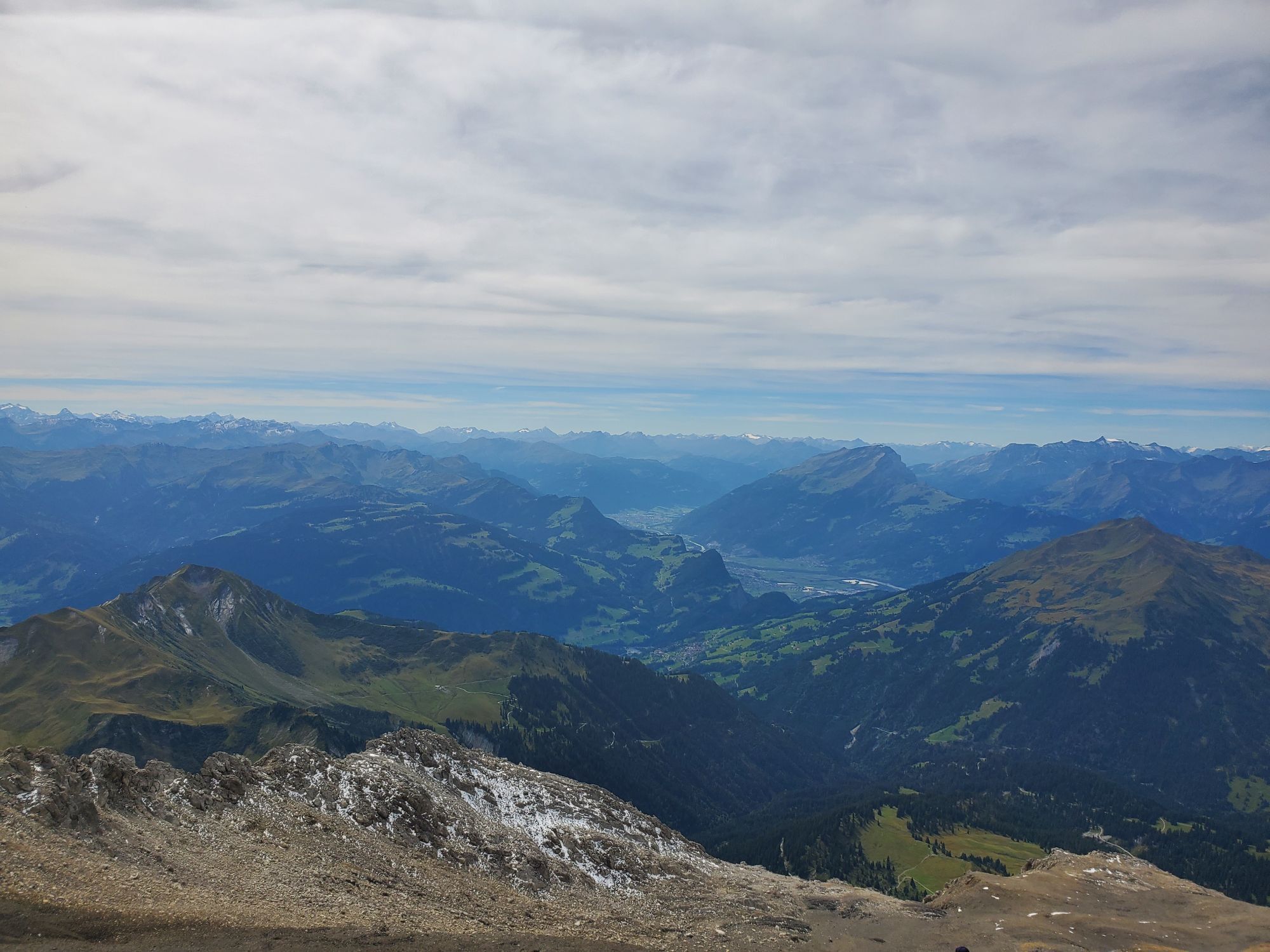
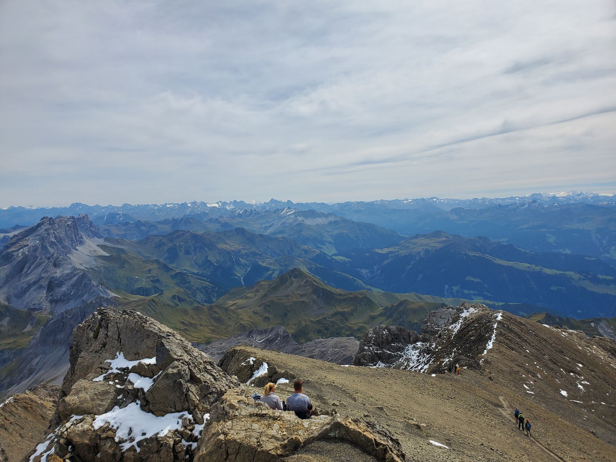
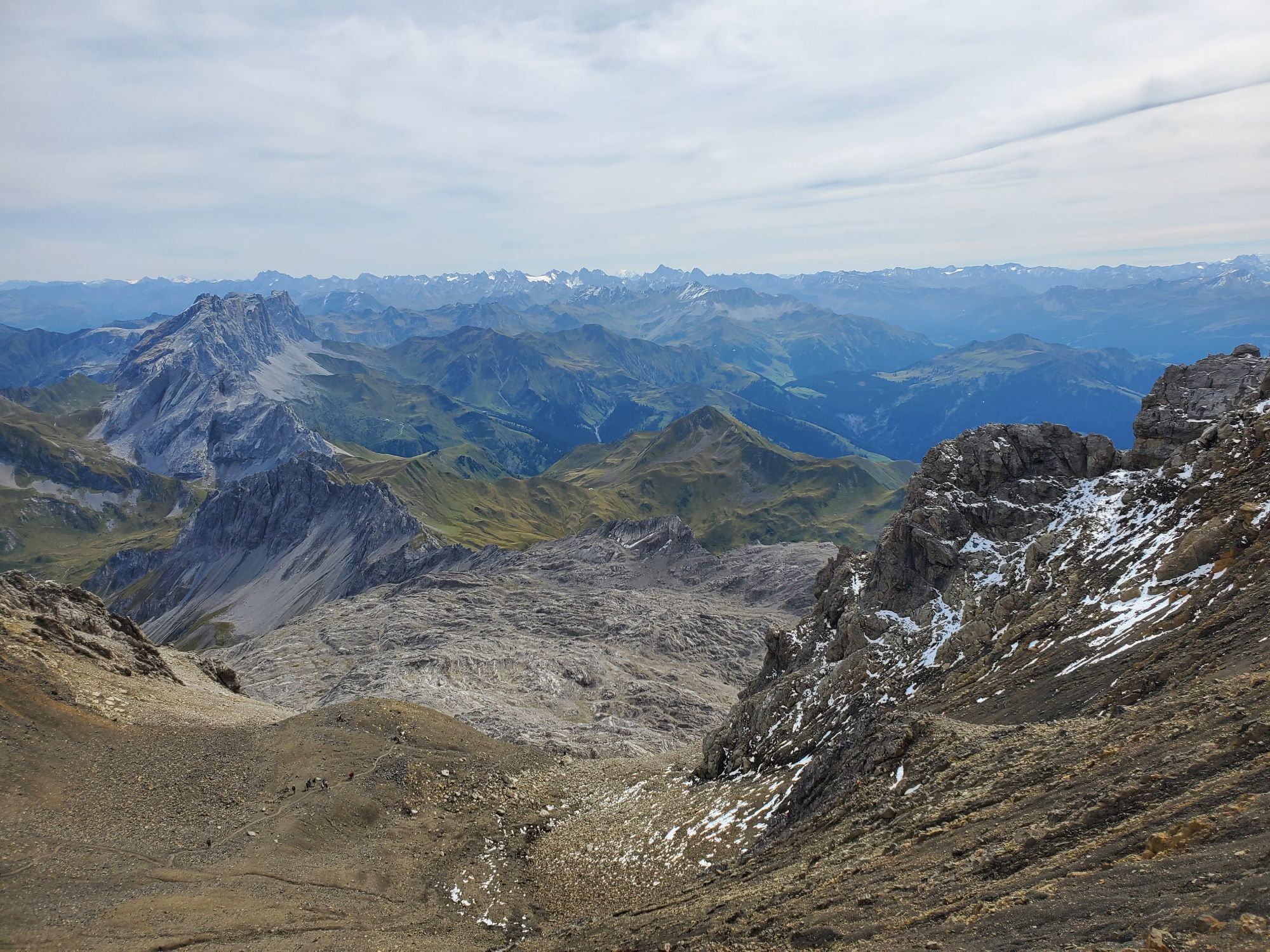
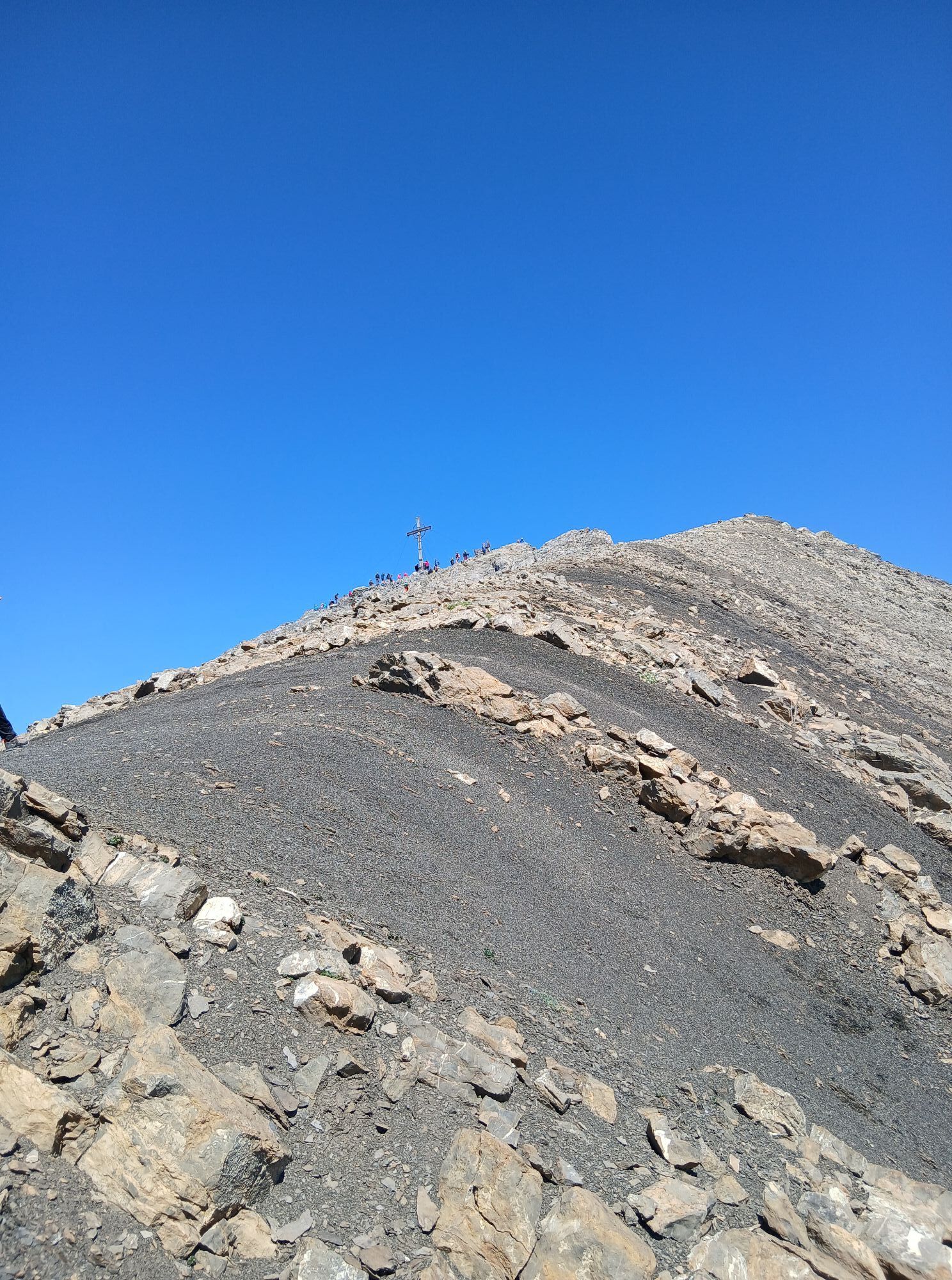
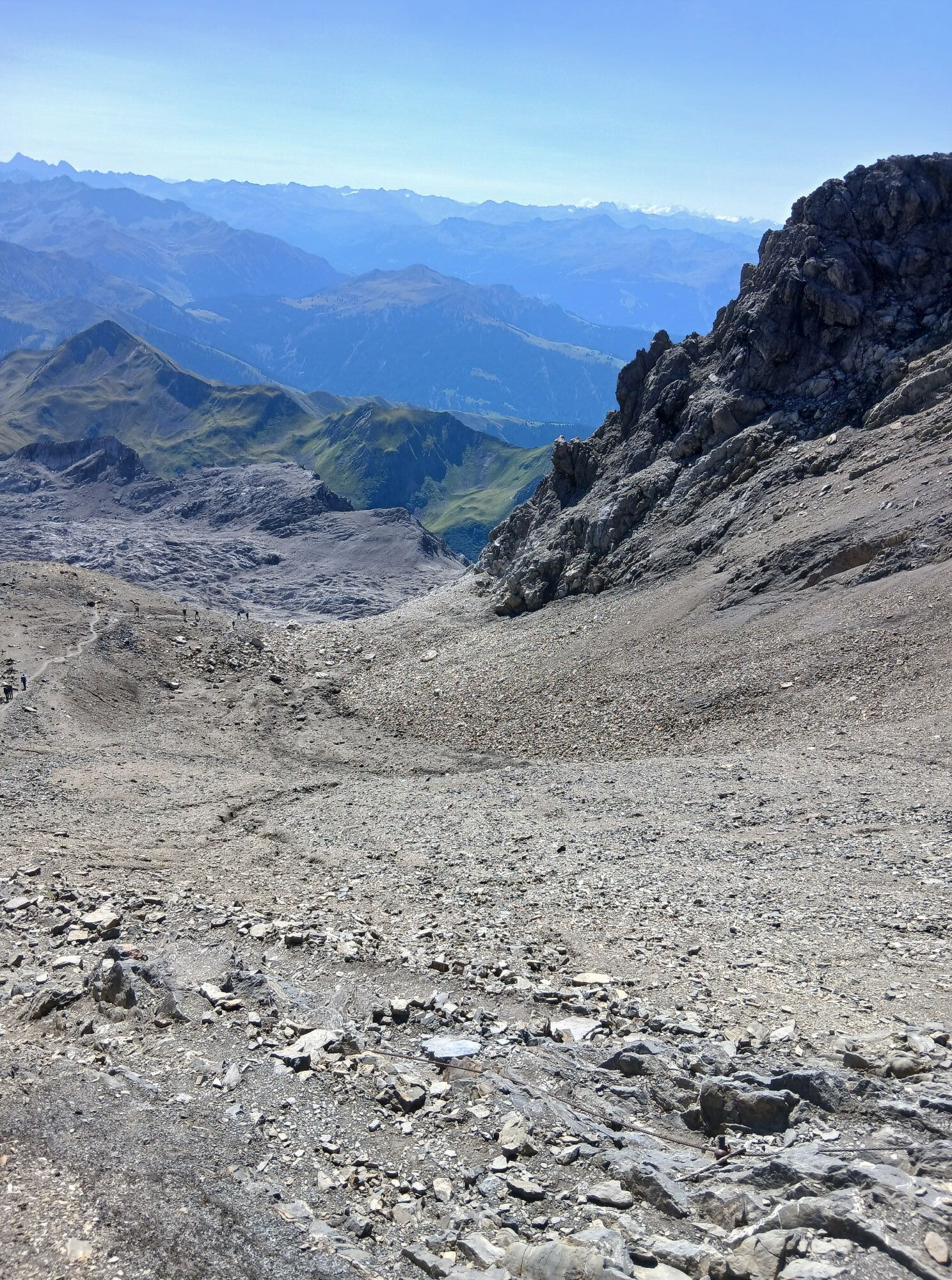
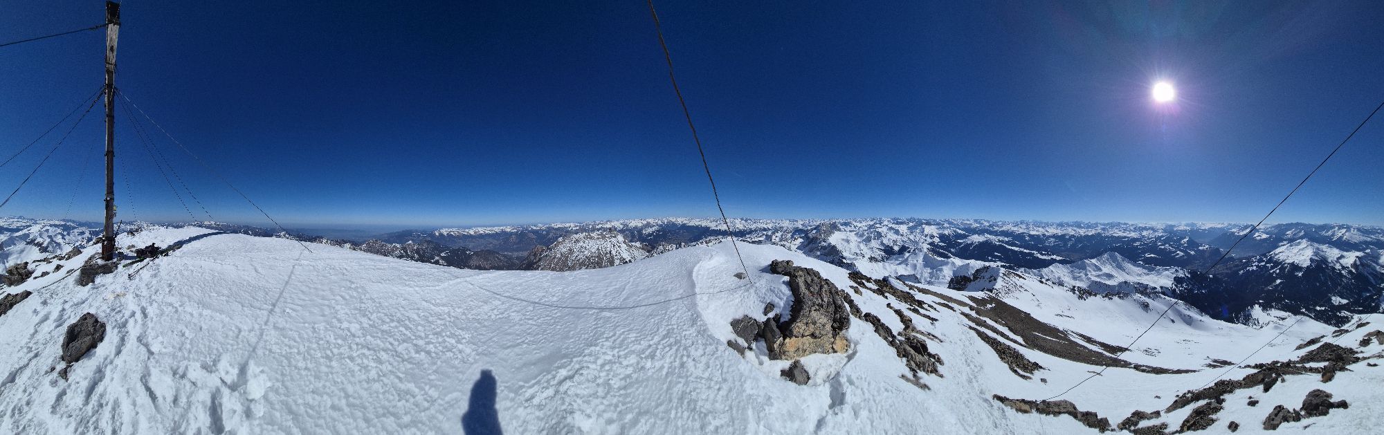
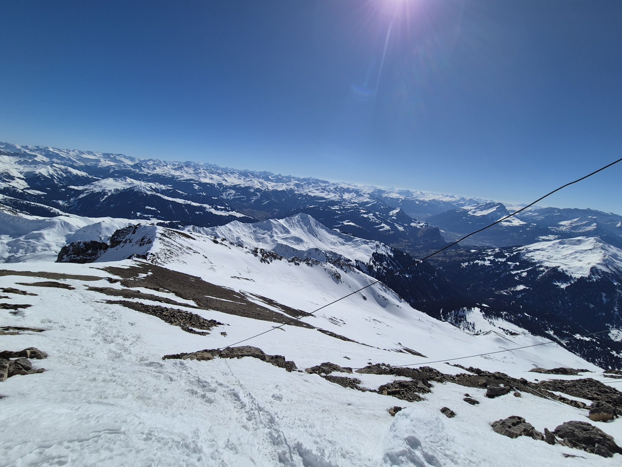
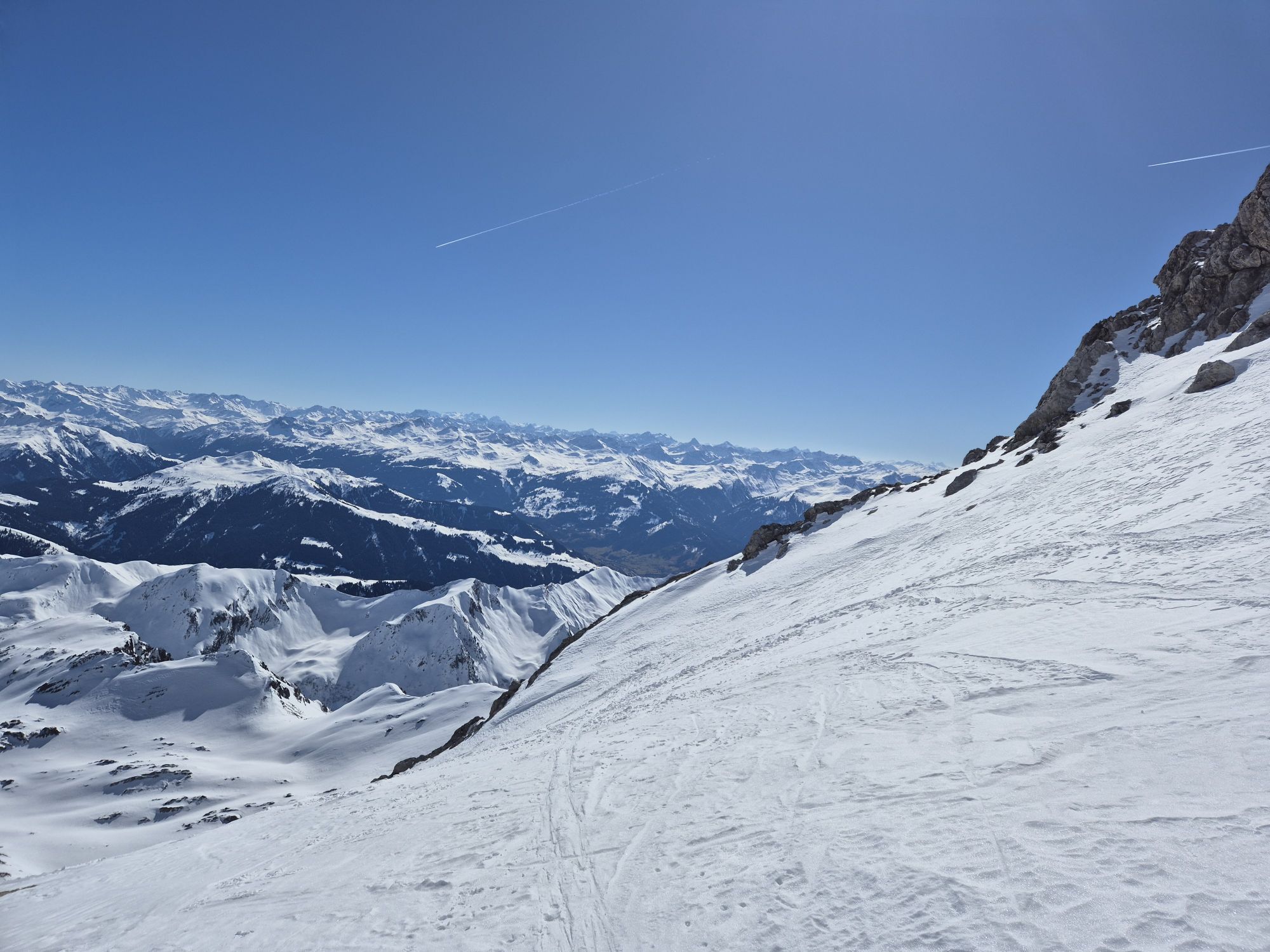
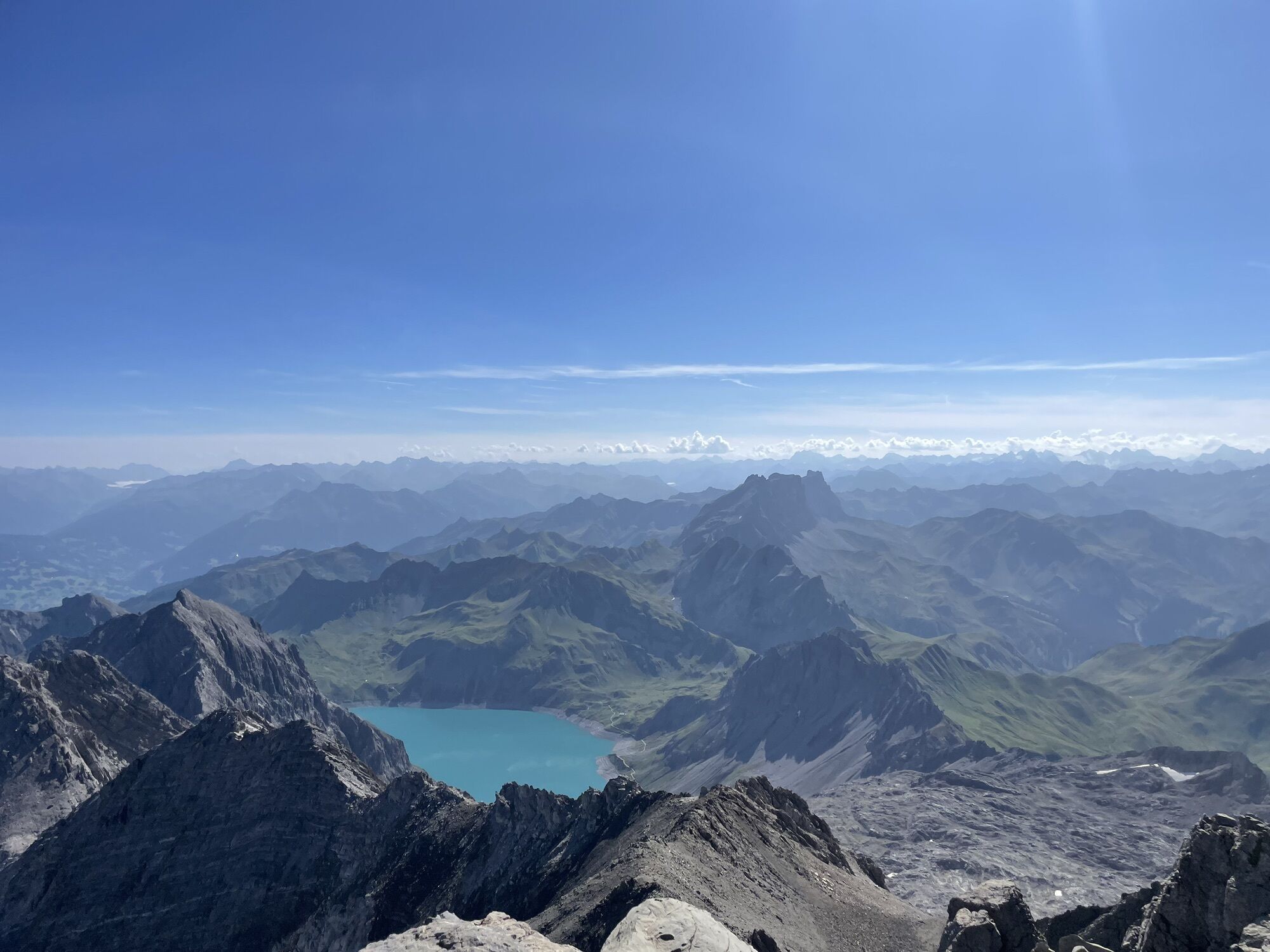
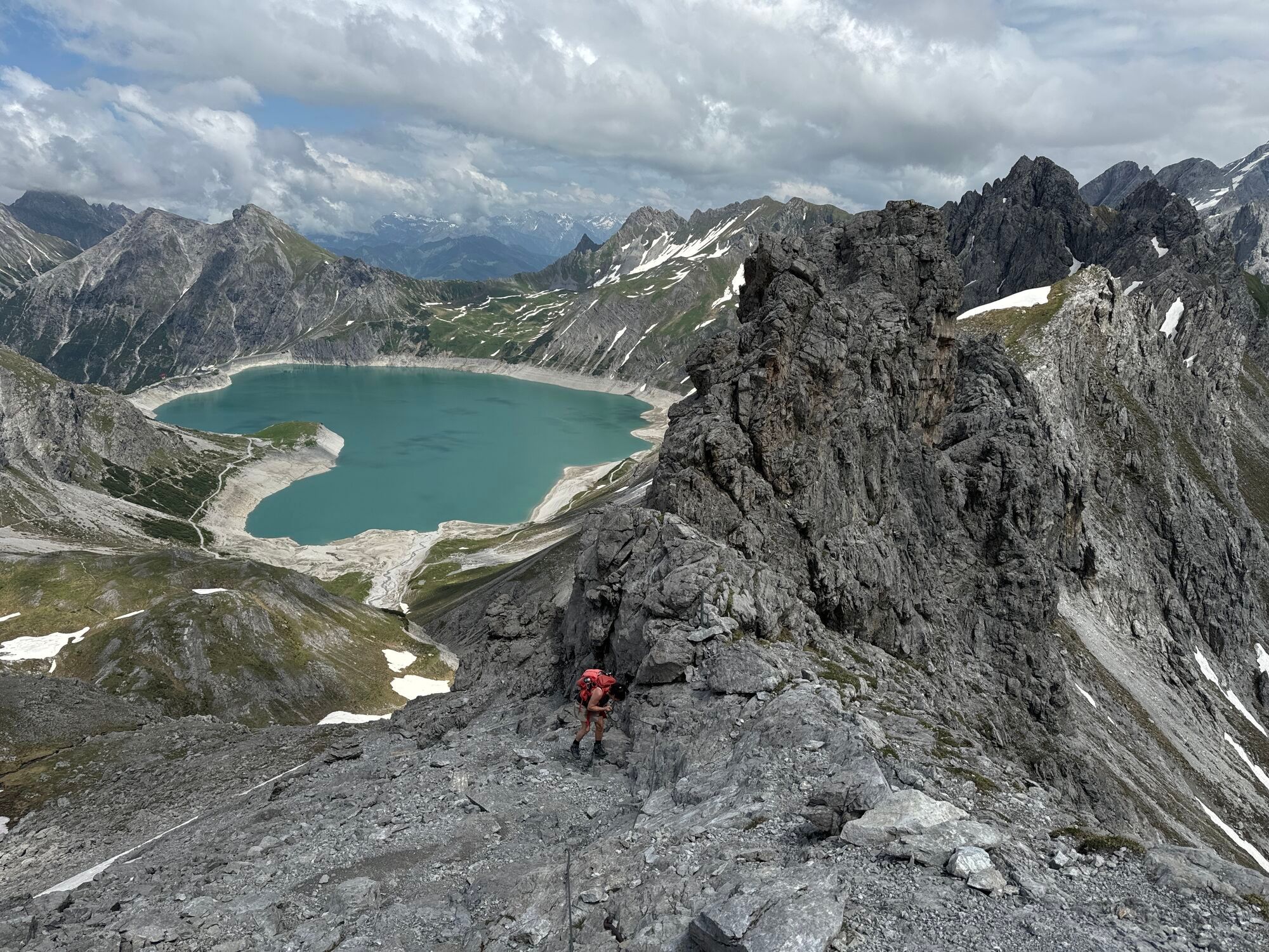
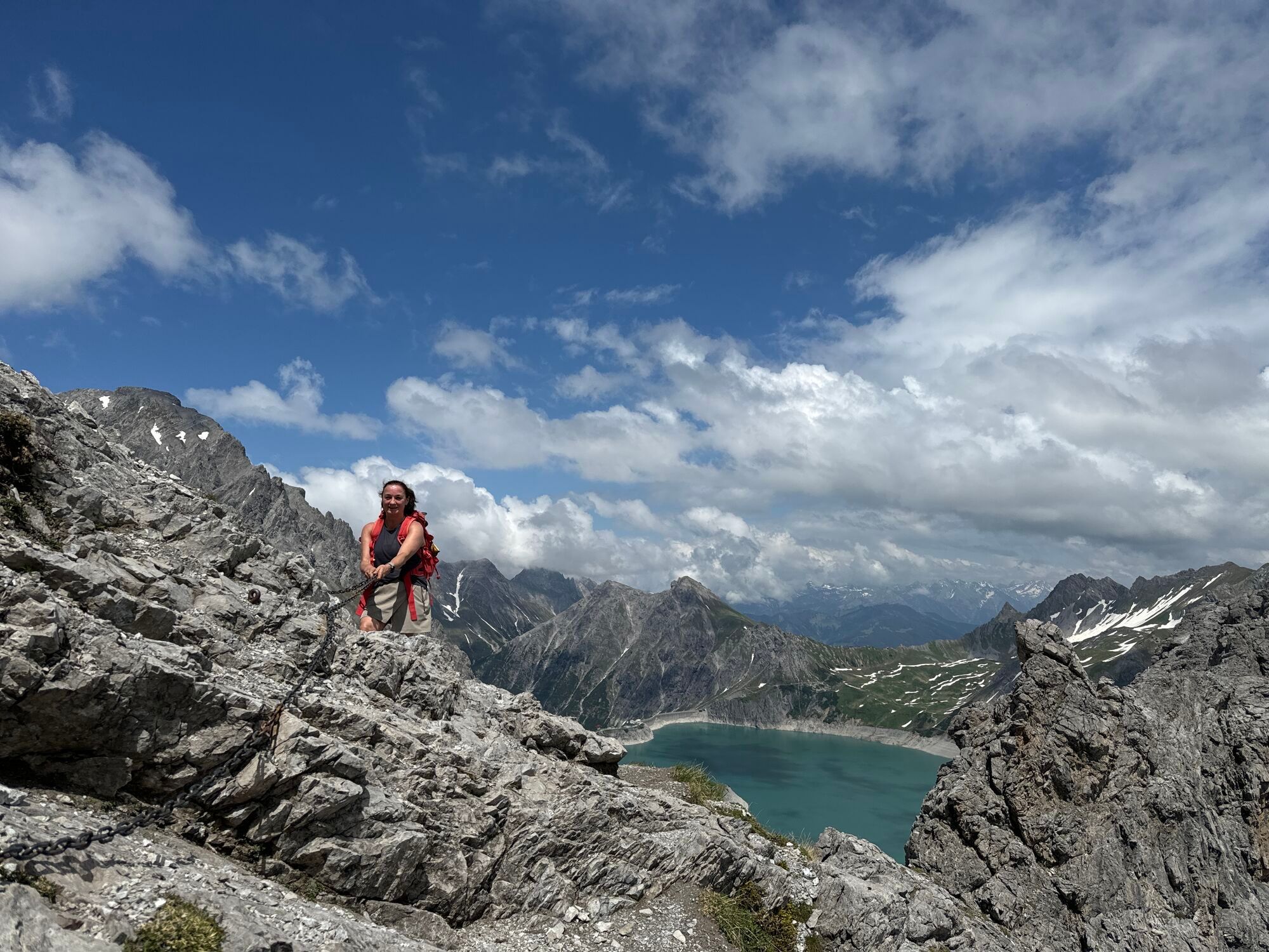
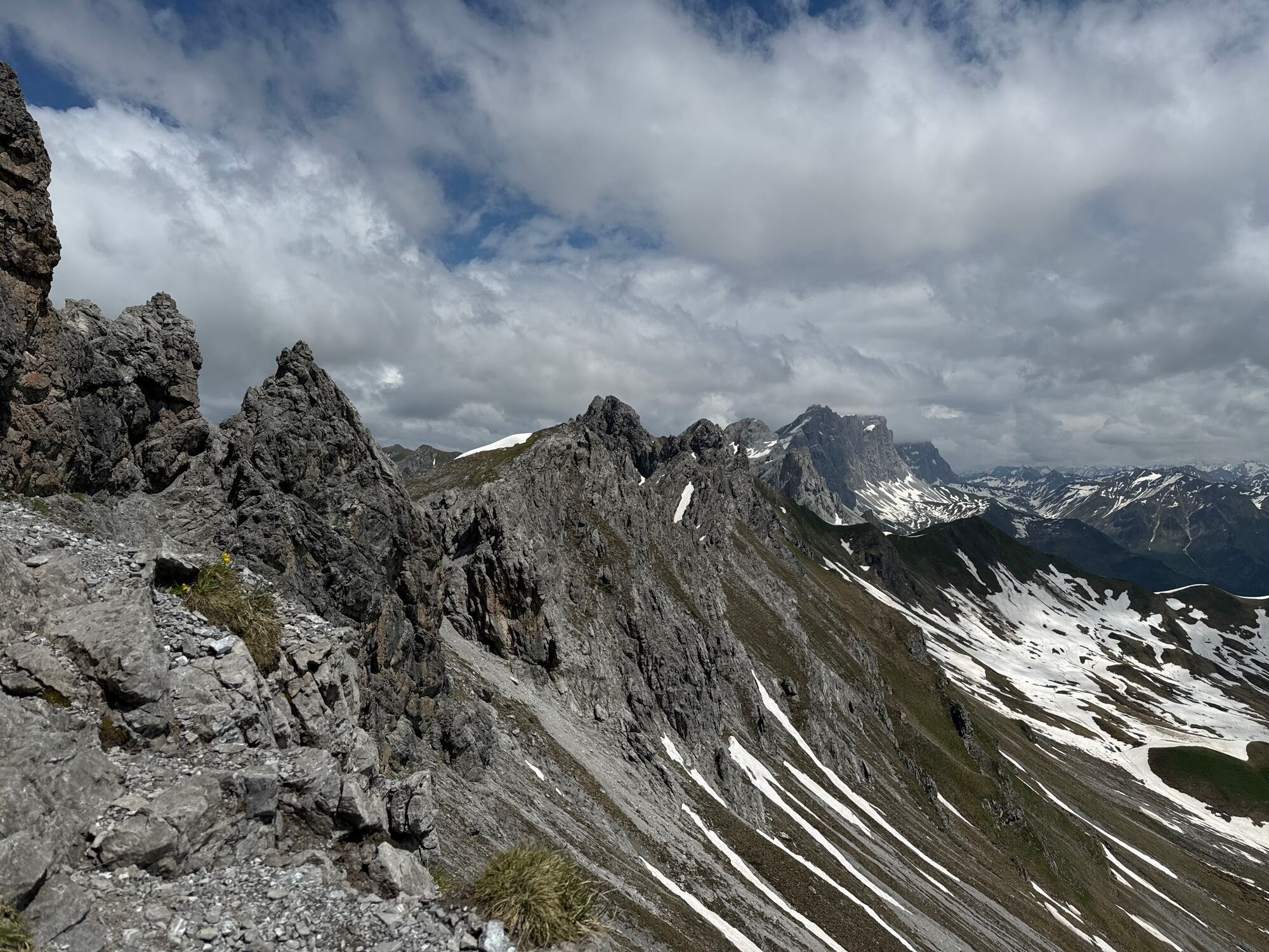
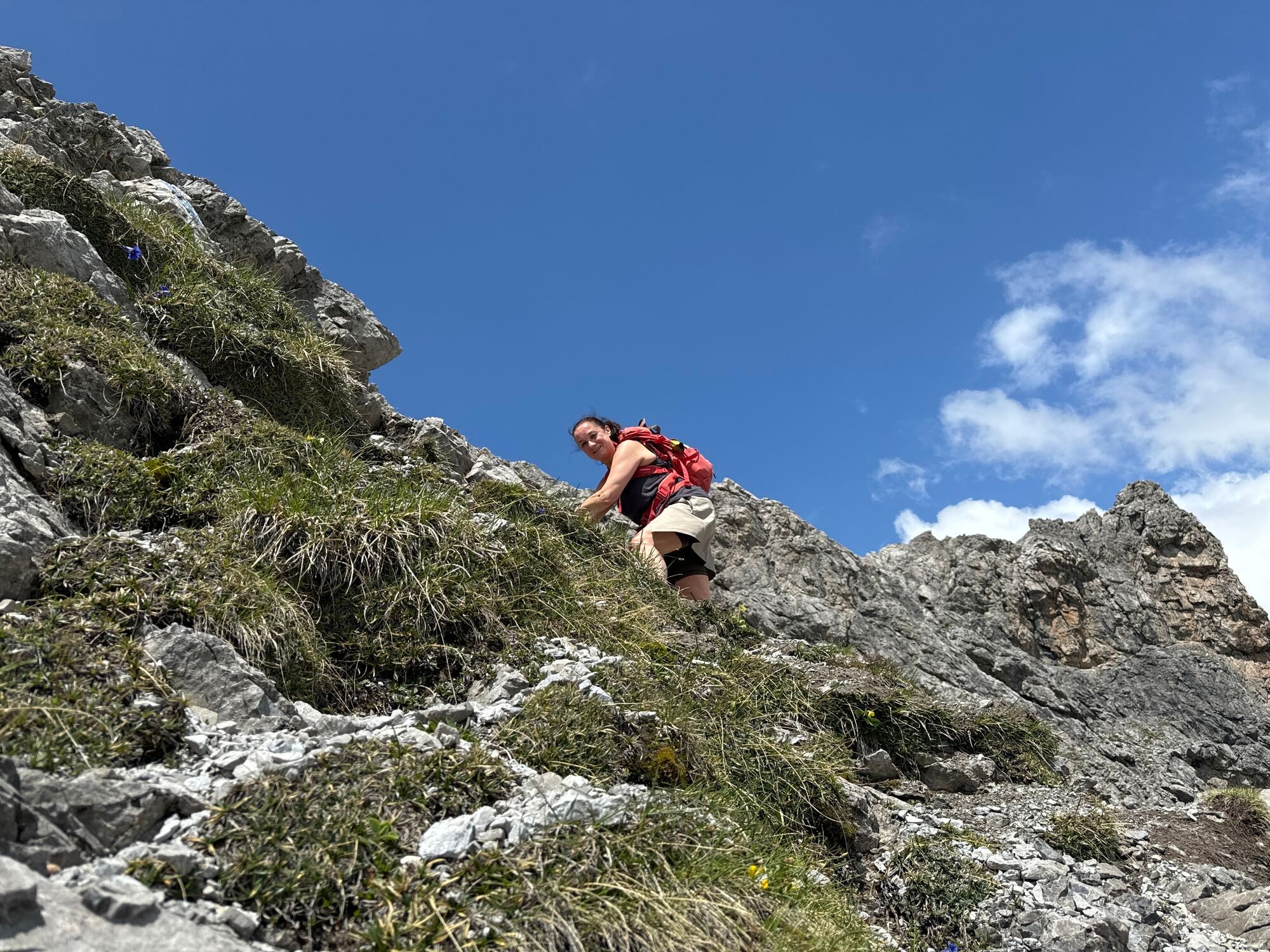
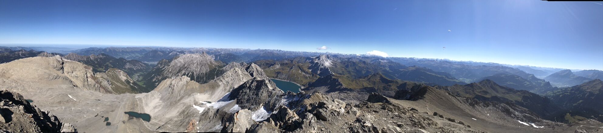
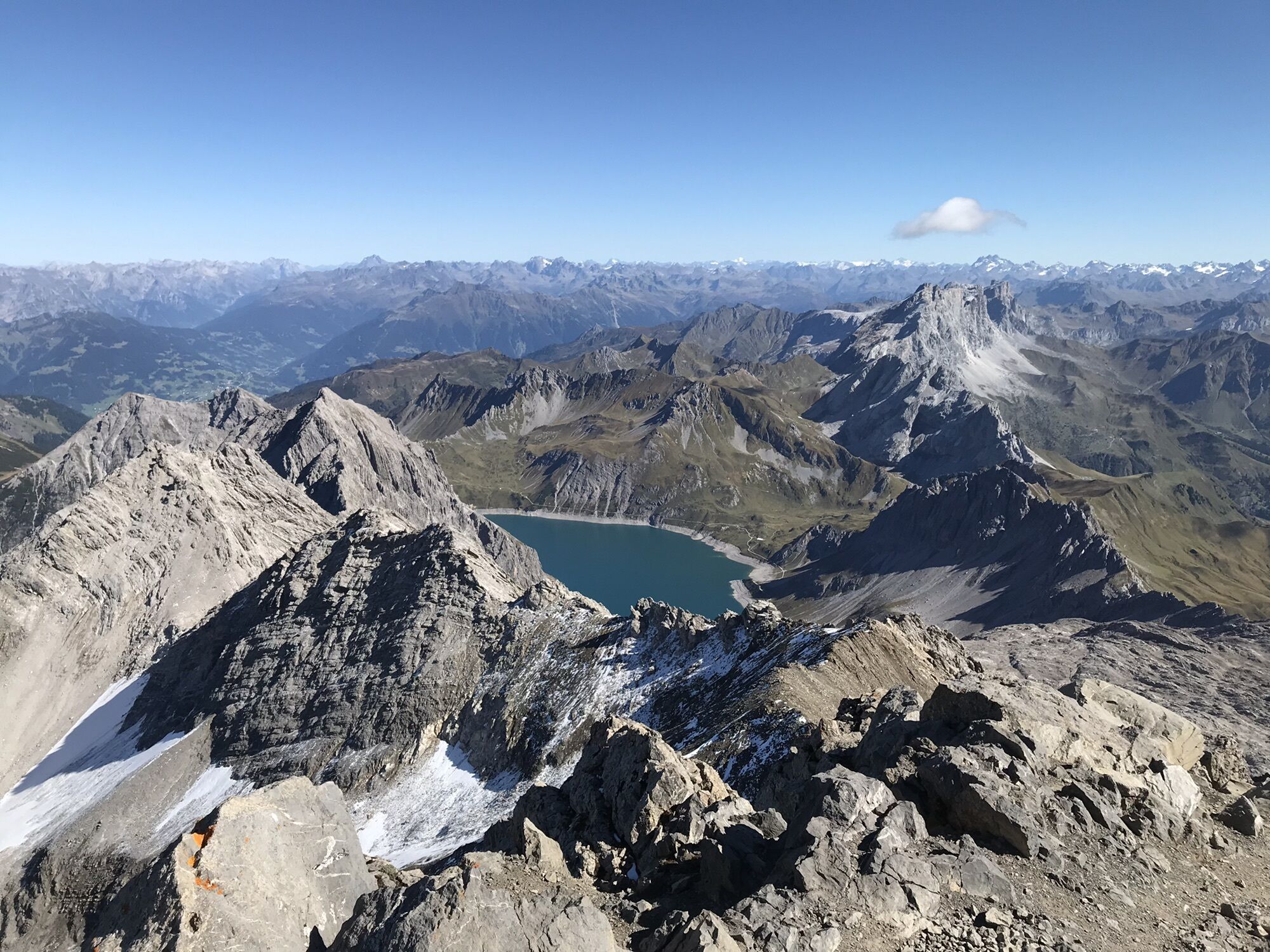
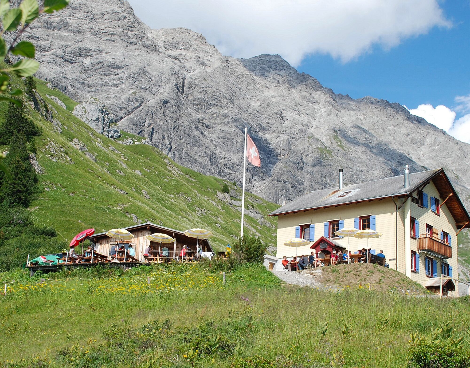
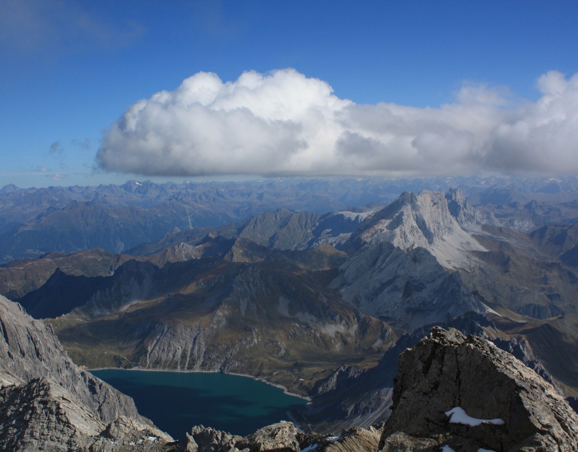
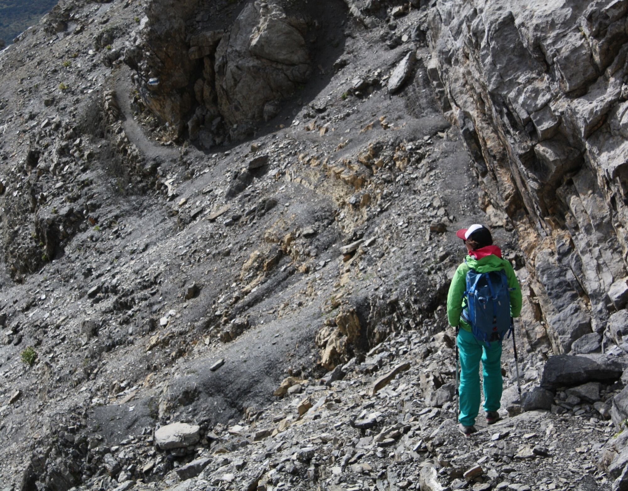
Seemingly insurmountable, the rock ridge towers above the Schesaplanahütte. But the Schweizerweg leads safely and directly to the summit. First, steep grass slopes go up to the rock band, where the white-blue markings show the way through the scree steps. Some chains and a small ladder provide additional support at the key point (T4), but surefootedness is a must. The stone cairns (Steinmänner) mark the route eastwards through the large scree field. From the Schesaplana saddle, it now goes steeply northwards the last altitude meters to the summit – the view is worth the effort. Back at the saddle, one crosses the national border. Over rock bands and scree-like terrain, the path runs eastwards to the Gamslugge. After a last look at the Lünersee, it goes steeply down with some chains secured into the Vals valley. Along the Prättigauer Höhenweg you quickly return to the Schesaplanahütte. Here you can review the route over coffee and fine cake and enjoy the magnificent panorama.




Schesaplanahütte - via Schweizerweg - Schesaplanasattel - Schesaplana - Schesaplanasattel - Gamsluggen - via Vals valley - Schesaplanahütte
Áno
Áno
Sturdy mountaineering boots, mountain hiking clothing suitable for the season. It is also advisable to carry a current hiking map in the rucksack, as well as sun, rain, and thermal protection, a water bottle, and hiking provisions. Trekking poles increase surefootedness and relieve the joints. Always have the following for emergencies: first aid kit, rescue blanket, mobile phone. Additionally, a compass and altimeter can be recommended.
The path is classified according to the SAC hiking scale as T4 (alpine hiking). If marked: white-blue-white.
Path / terrain: Path not visible everywhere, route partly without trail, some sections require using hands to progress. Terrain already quite exposed, tricky grassy slopes, scree, simple bare glaciers.
Requirements: Familiarity with exposed terrain, sturdy shoes. Some terrain assessment and good orientation skills. Alpine experience.
Via the A13 motorway to Landquart, then via the national road N28 towards Davos / Veraina. After the Chlustunnel, leave the national road towards Fanas / Seewis. Follow the road into the village of Seewis. Approach to the Schesaplanahütte via Stage 4 of the Prättigauer Höhenweg.
By train to Landquart or Grüsch and then continue by postbus to Seewis. Get off at the Seewis Dorf, Bühelstrasse stop. Approach to the Schesaplanahütte via Stage 4 of the Prättigauer Höhenweg.
Paid parking spaces in the Leschga parking garage or by the Flensa ski lift in Seewis.
It is recommended to plan this route as a 2-day hike – the day before, leisurely to the Schesaplanahütte. This way you start the alpine hike rested and freshly strengthened.
For those who like it fast, you can speed down with the scooter back to Seewis.
 Získajte prehľad
Vždy naživo na mieste s viac ako 9 500 webovými kamerami. bergfex Ako používateľ Pro si teraz môžete pozrieť príslušné webové kamery pre mnohé zájazdy v aplikácii zájazdy z. Môžete si tak priamo prezerať aktuálne podmienky.
Získajte prehľad
Vždy naživo na mieste s viac ako 9 500 webovými kamerami. bergfex Ako používateľ Pro si teraz môžete pozrieť príslušné webové kamery pre mnohé zájazdy v aplikácii zájazdy z. Môžete si tak priamo prezerať aktuálne podmienky.
Obľúbené výlety v okolí
-
4,8
Douglashütte - Schesaplana
strednáTuristika 7,31 km -
5,0
Ski tour to the Lindauer Hut (1,744 m)
svetloSkitour 14,0 km -
4,7
Smuggler’s path
strednáTematická trasa 8,60 km -
5,0
Bürs, Bürserschlucht Bürs, Vorarlberg
strednáTuristika 5,31 km -
4,6
Over the historic mine and Fritzensee to Rellseck
strednáTuristika 7,25 km -
4,4
Golm-Rundwanderweg im Rätikon
strednáTematická trasa 7,28 km -
4,9
Douglasshütte, Lünersee, Gafalljoch Brand bei Bludenz, Vorarlberg
svetloTuristika 9,16 km -
4,3
Mondspitze (Montspitze)
strednáTuristika 7,97 km -
4,3
Golmerbahn Bergstaion Grüneck - Golmer Höhenweg - Geißspitze - Lindauer Hütte - Latschau
strednáTuristika 11,5 km -
3,7
Fürstin-Gina-Weg
Turistika 10,7 km

Turistika a stopovanie


Nenechajte si ujsť ponuky a inšpiráciu na ďalšiu dovolenku
Vaša e-mailová adresa bol pridaný do poštového zoznamu.





