






Munt Sogn Gieri
Úroveň náročnosti: S1
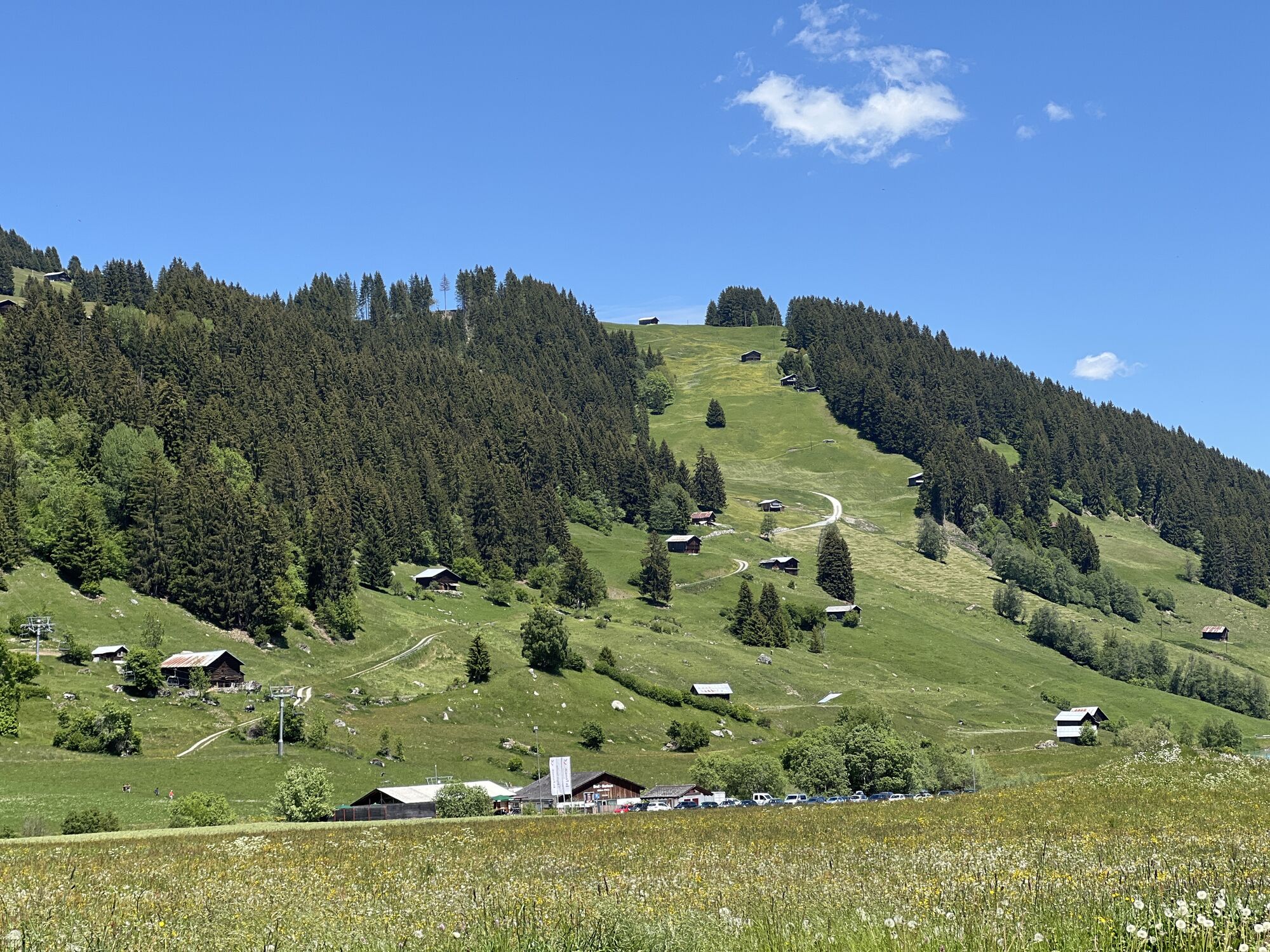
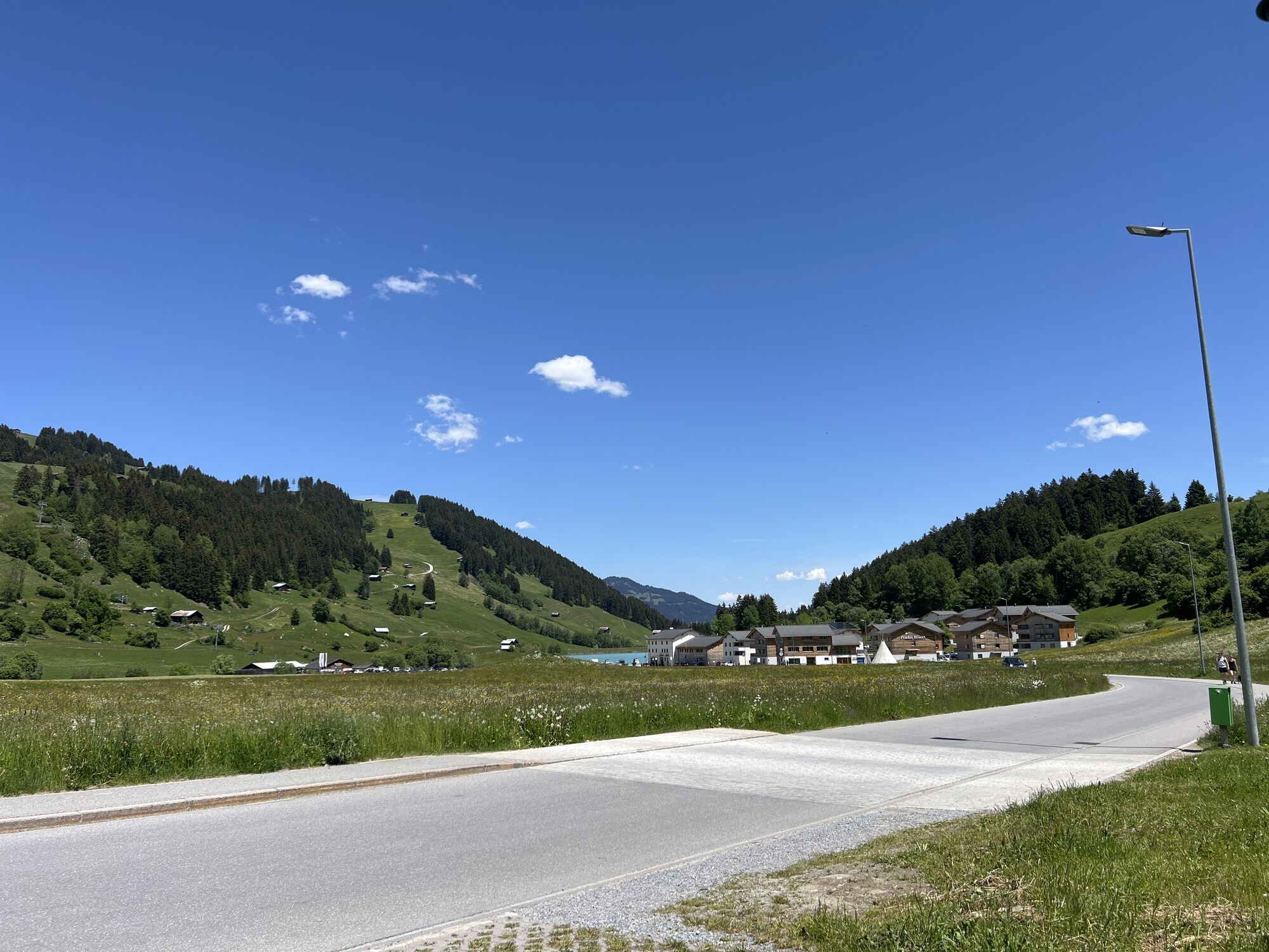
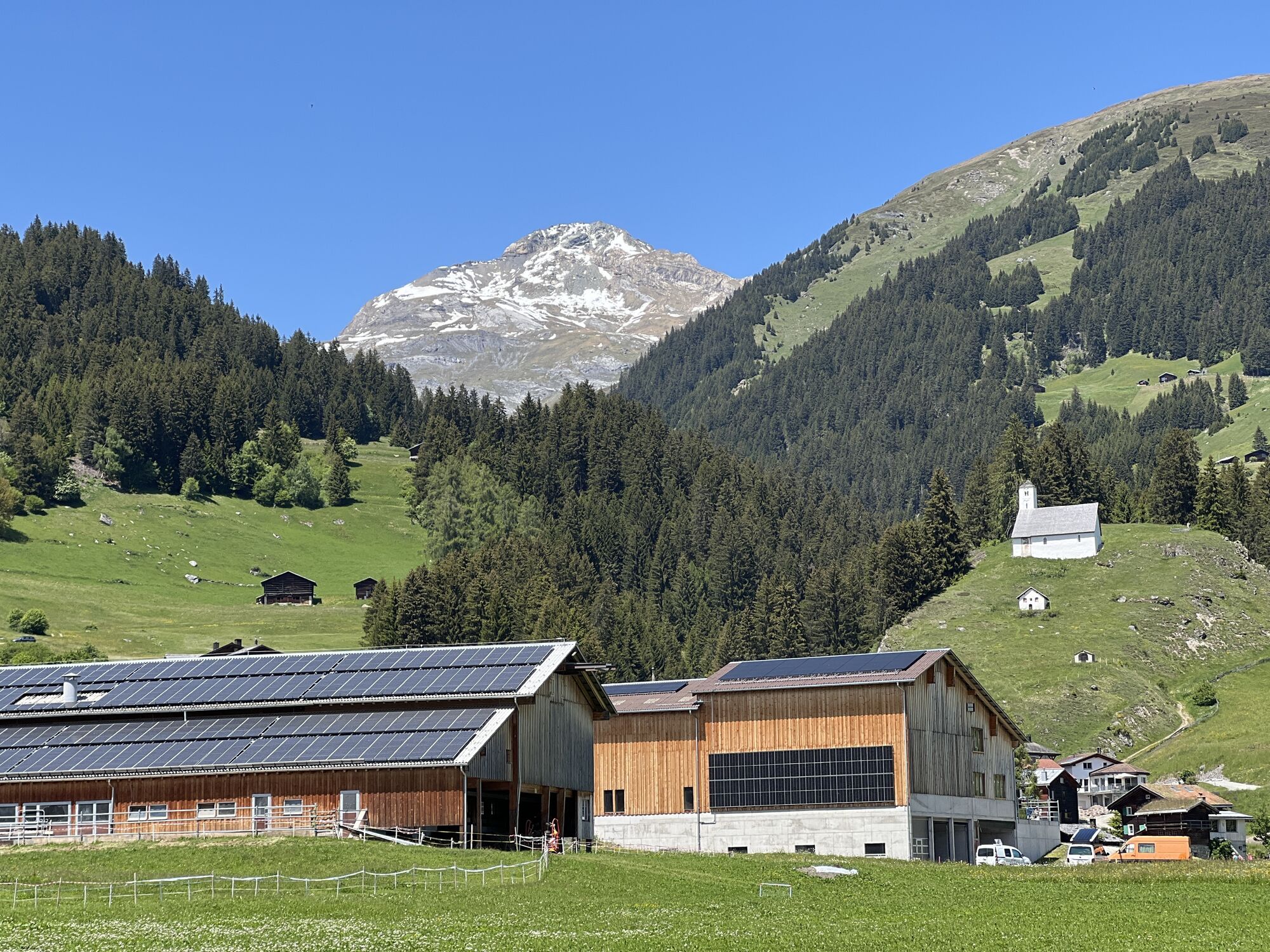
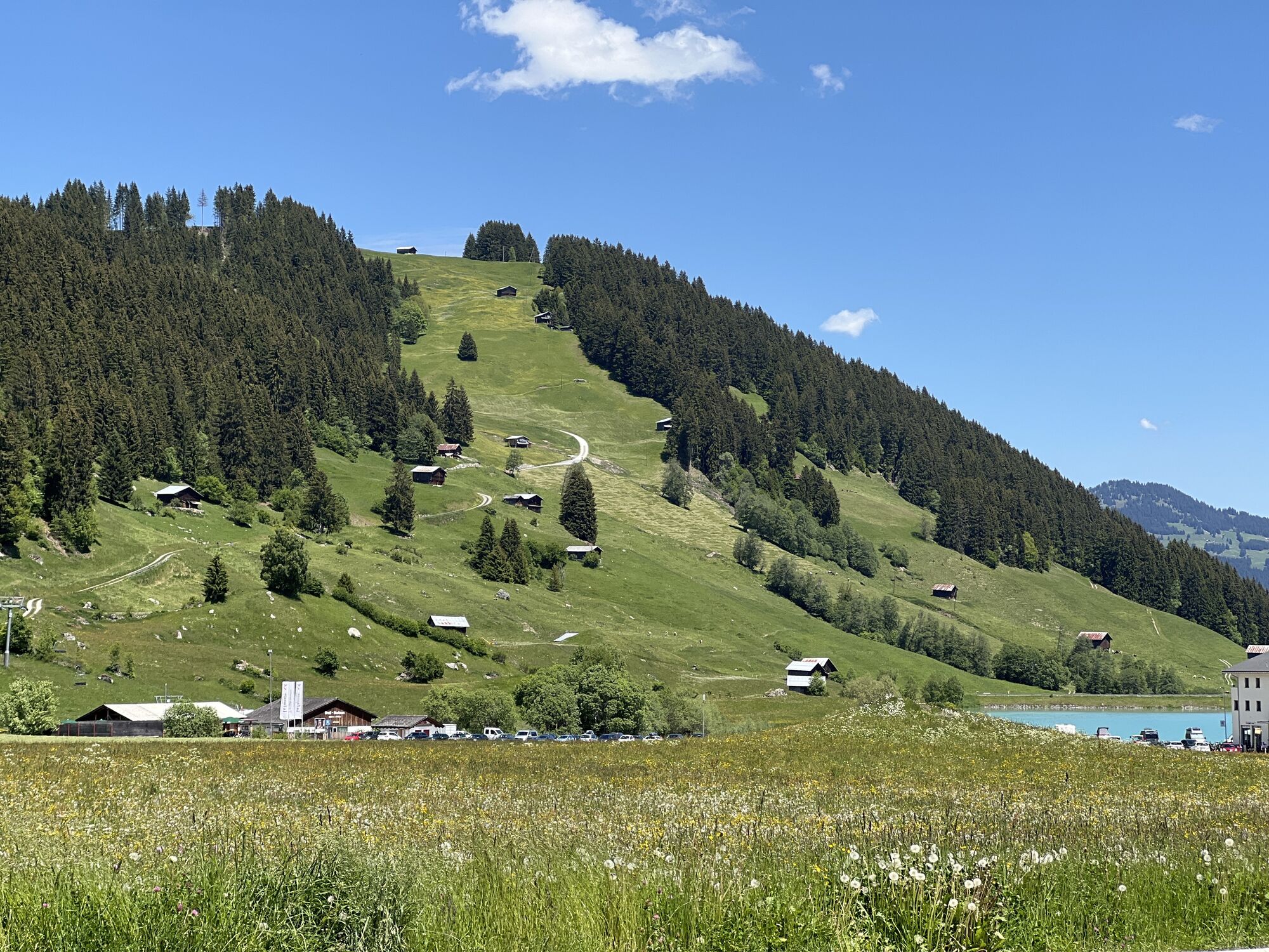

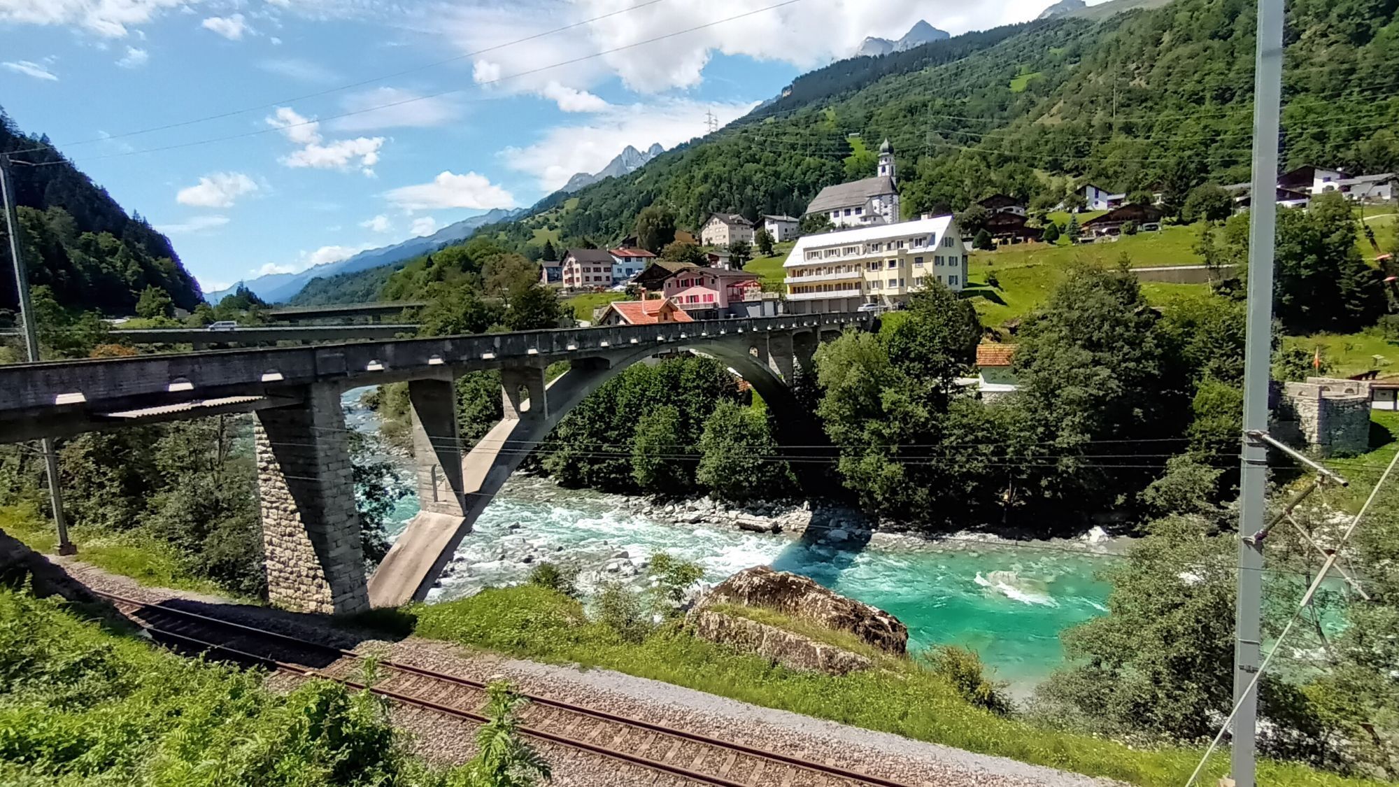
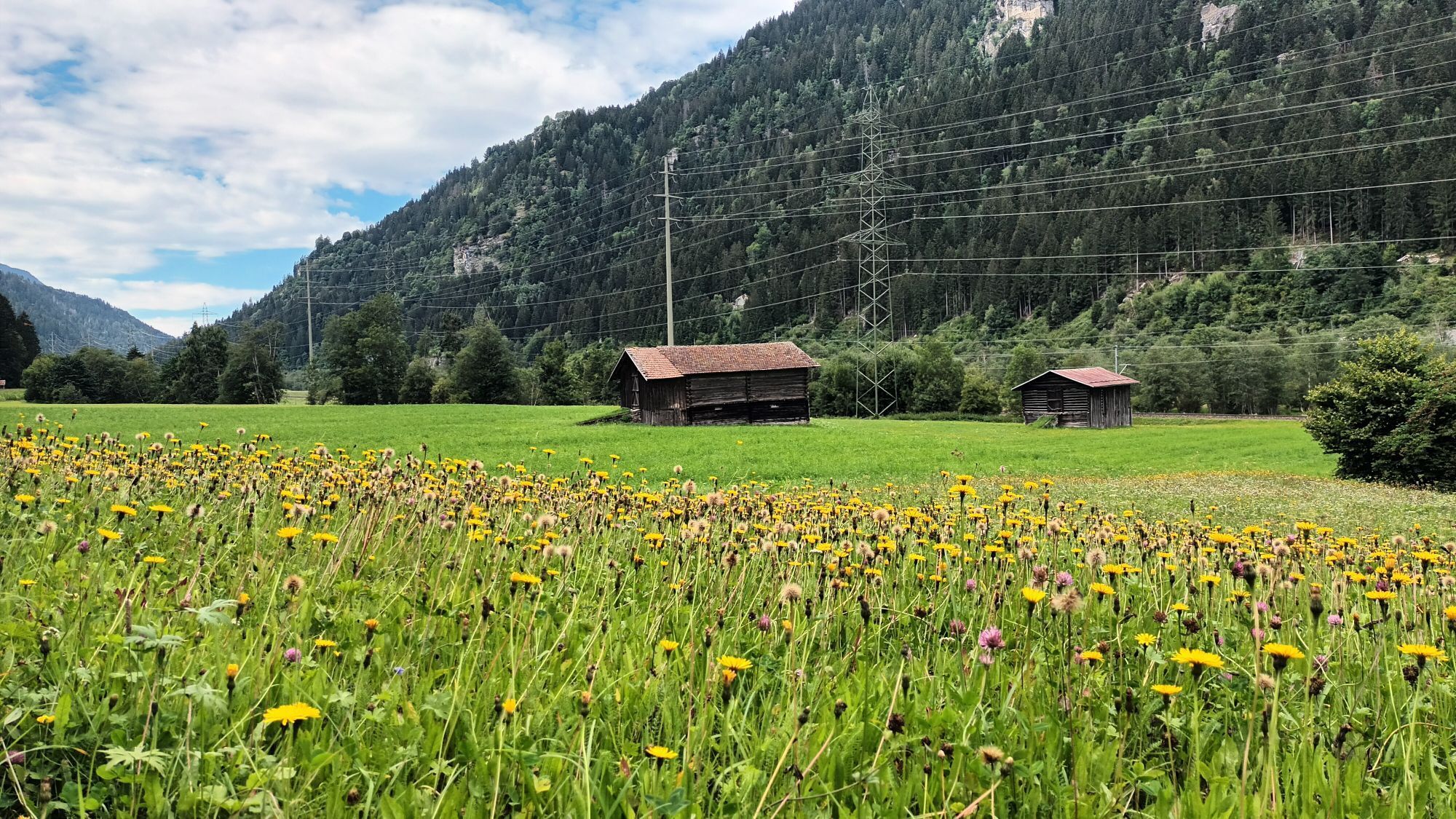
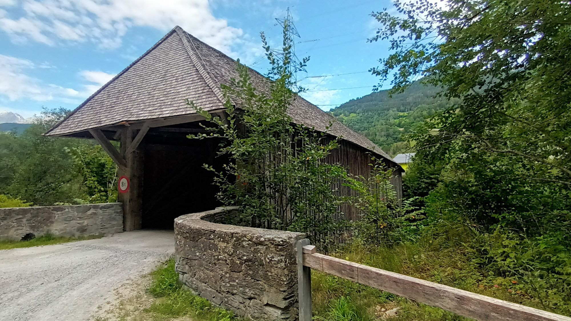
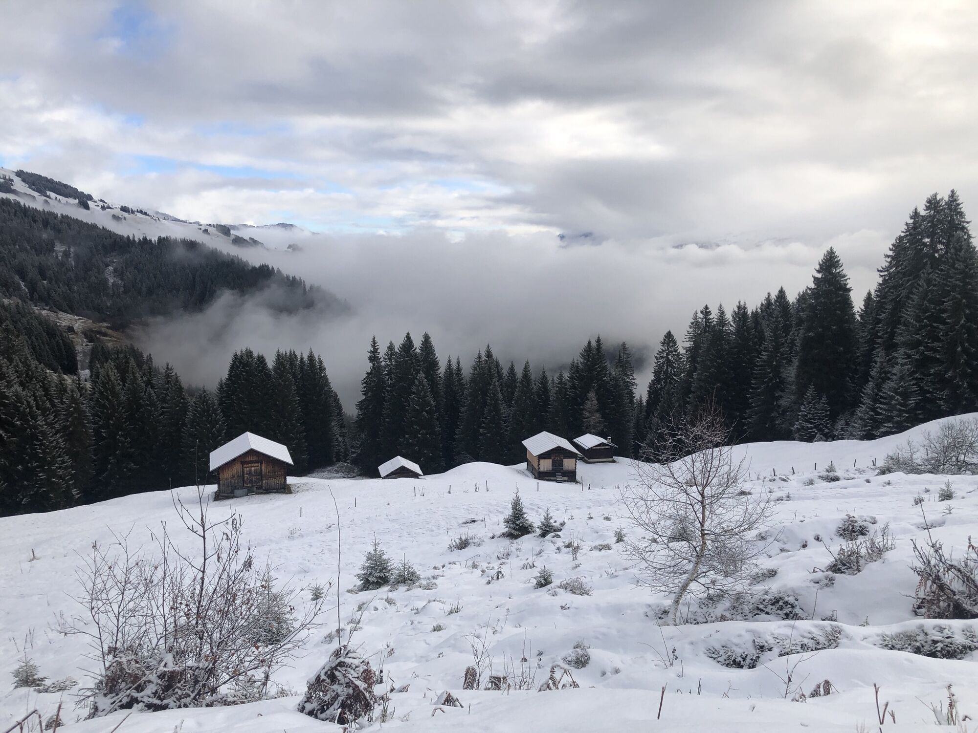
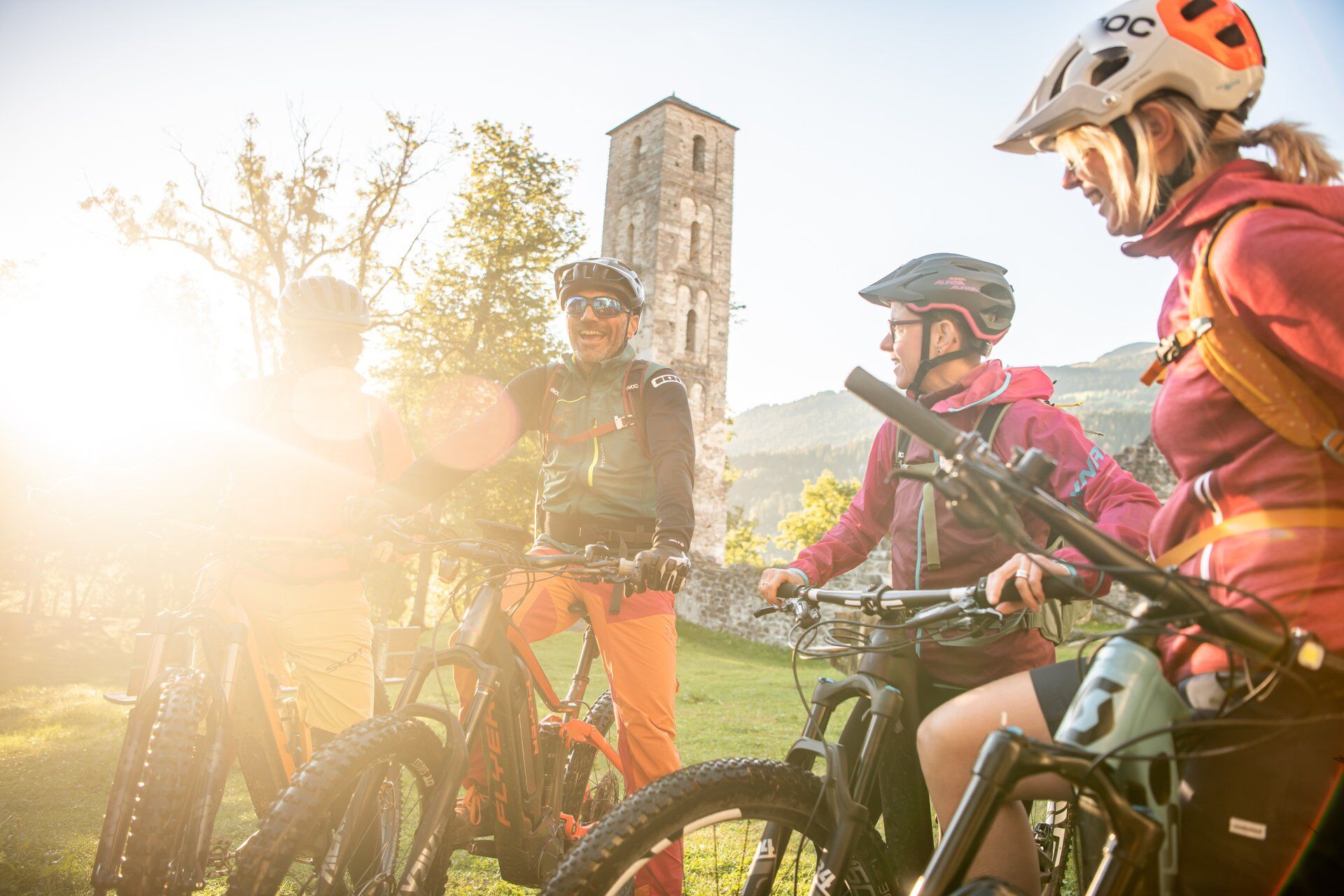
The route starts in Brigels, either directly in the village or at the large car park by the lake. The start is pleasant and gently leads downhill to the Jörgenburg, where two highlights can be found:
Culinary: A...
The route starts in Brigels, either directly in the village or at the large car park by the lake. The start is pleasant and gently leads downhill to the Jörgenburg, where two highlights can be found:
Culinary: A fire pit invites you to a lunch break, ideal for a picnic or a barbecue pause.
Cultural: The largest castle complex in the Surselva offers exciting insights into the history of the region and is an impressive place to linger.
From the castle, the route leads over easy trails down to Rueun, an enjoyable section that almost feels like a dessert. Afterwards, it continues on the bike path to Trun.
From here begins the more sporty part of the route: Over village and alpine roads, about 735 meters of elevation gain are overcome up to near Alp da Schlans. A short, smoothly rideable trail brings you to the second fire pit at Plaids, a beautiful place for a last break with a view.

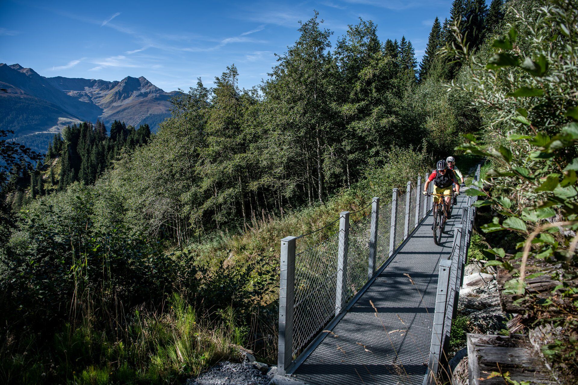
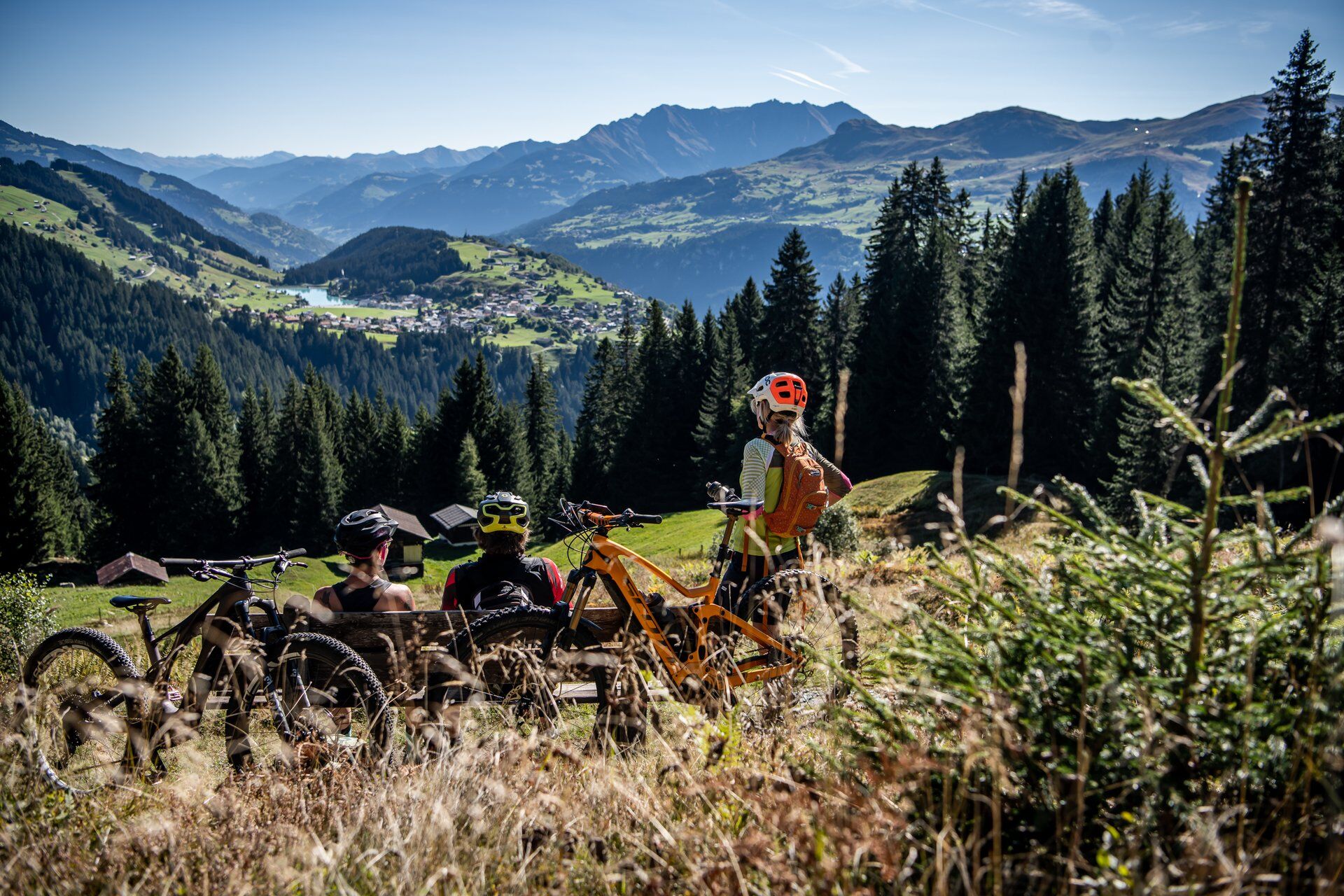
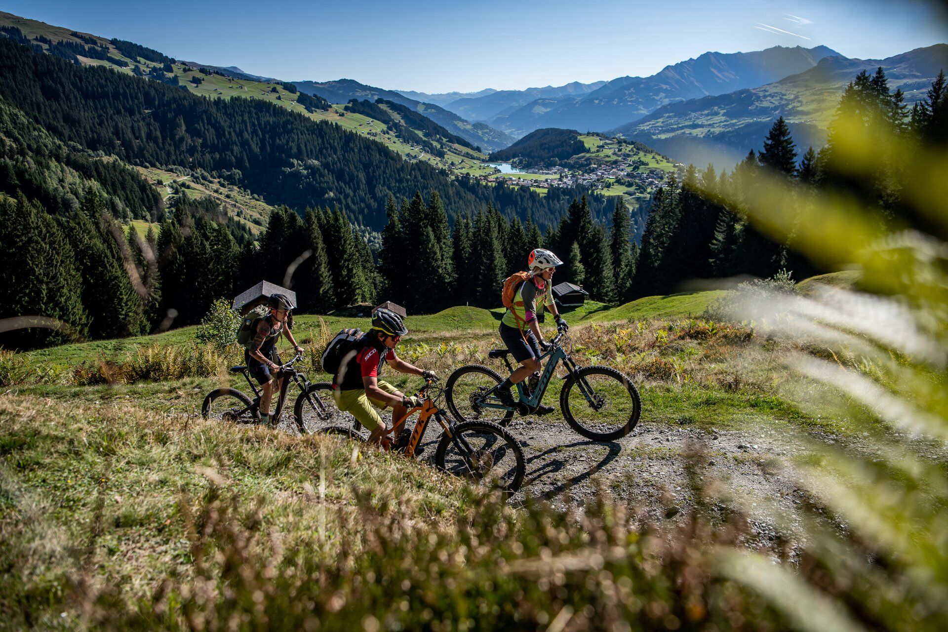
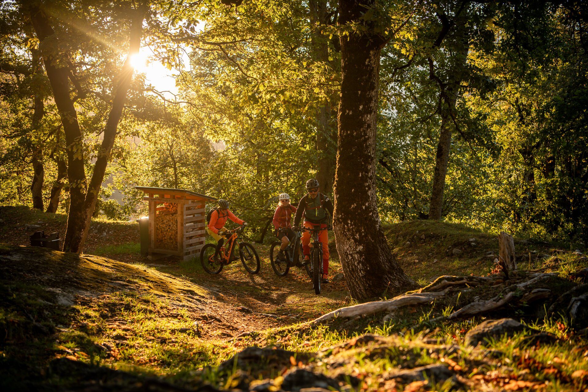

Brigels-Migliè-Waltensburg-Munt Sogn Gieri-Rueun-Polenweg-Tavanasa-Trun-Schlans-Plaids-Brigels
Helmet, gloves, bike shoes, glasses, rain and sun protection, drink, repair kit, first aid kit
In uncertain weather conditions, the route should not be undertaken. Weather changes in the mountains are frequent. If a rain front or similar appears during the route, you should turn back in time.
S1
Be sure to plan some time for a stop at the Jörgenburg, the largest castle complex in the Surselva is worth it.
For all those riding an e-bike: There are charging stations in Waltensburg at Hotel Ucliva and in Danis at the Volg village store. Both are just a few meters off the route and easily accessible.
Webové kamery z prehliadky
-
Alp Dado
-
Alp Dado
-
Alp Dado
-
Stein - Obersaxen Mundaun
-
Stein - Obersaxen Mundaun
-
Stein - Obersaxen Mundaun
-
Stein - Obersaxen Mundaun
-
Stein - Obersaxen Mundaun
-
Pradas Resort
-
Pradas Resort
-
Pradas Resort
-
Stein - Obersaxen Mundaun
-
Alp Dado
-
Alp Dado
-
Alp Dado
-
Alp Dado
-
Ladir
-
Ladir
-
Burleun Bergrestaurant
-
Golfplatz Brigels
Získajte prehľad
Vždy naživo na mieste s viac ako 9 500 webovými kamerami. bergfex Ako používateľ Pro si teraz môžete pozrieť príslušné webové kamery pre mnohé zájazdy v aplikácii zájazdy z. Môžete si tak priamo prezerať aktuálne podmienky.
Obľúbené výlety v okolí
-
5,0
High valley Val Frisal
ťažkéTuristika 12,4 km -
4,3
Circular hike: Falera-Curnius-Alp Dadens-Falera
strednáTuristika 11,4 km -
5,0
Kalktrittli - Nüschentäli - Muttsee - Obersee - Muttenchopf - Mörtel - Limmerensee - Kalktrittli (durch Stollen)
strednáTuristika 14,8 km -
5,0
Hiking route Suspension Bridge Val da Tersnaus
strednáTuristika 3,24 km -
Panorama ridge hike: Crap Sogn Gion - Fuorcla - Alp Nagens
strednáTuristika 9,44 km -
Panoramic route between Piz Mundaun and Péz Sezner
strednáTuristika 6,75 km -
5,0
2-day hike Greina high plateau
strednáTuristika 14,9 km -
4,0
Falera - Laax - Falera
svetloTuristika 7,35 km -
4,5
Around the Grep da Plaids
strednáTuristika 8,05 km -
5,0
Hike Vrin - Uors over the suspension bridge Val da Silgin
strednáTuristika 12,3 km

Turistika a stopovanie


Nenechajte si ujsť ponuky a inšpiráciu na ďalšiu dovolenku
Vaša e-mailová adresa bol pridaný do poštového zoznamu.





