


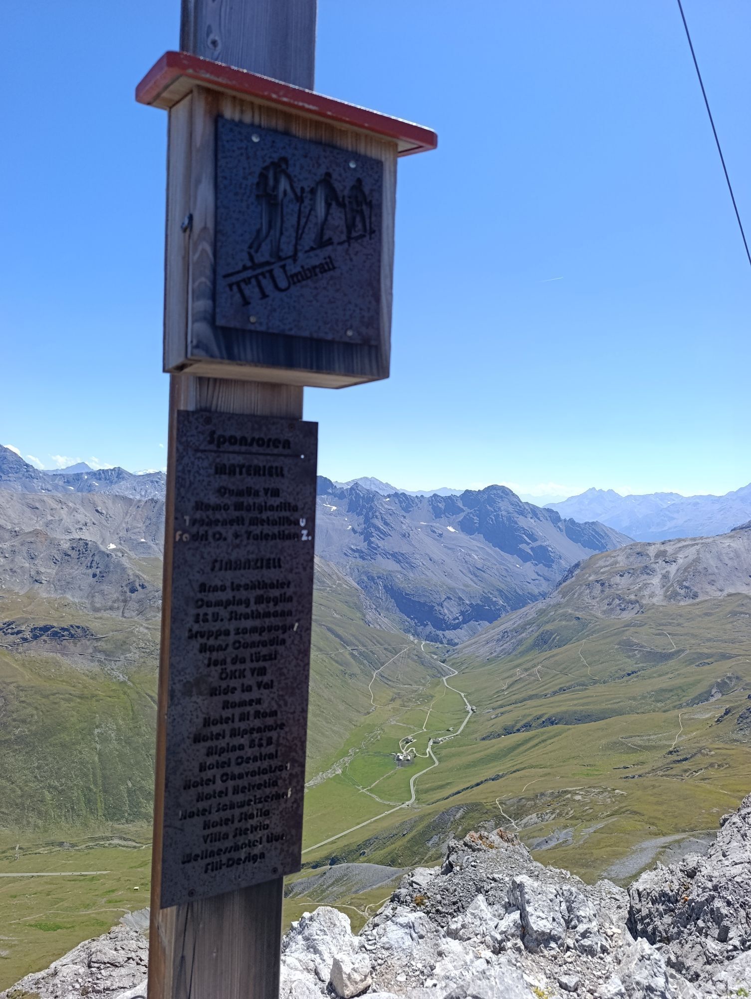
Summit route Umbrail – Val Vau – Valchava
Úroveň náročnosti: S4
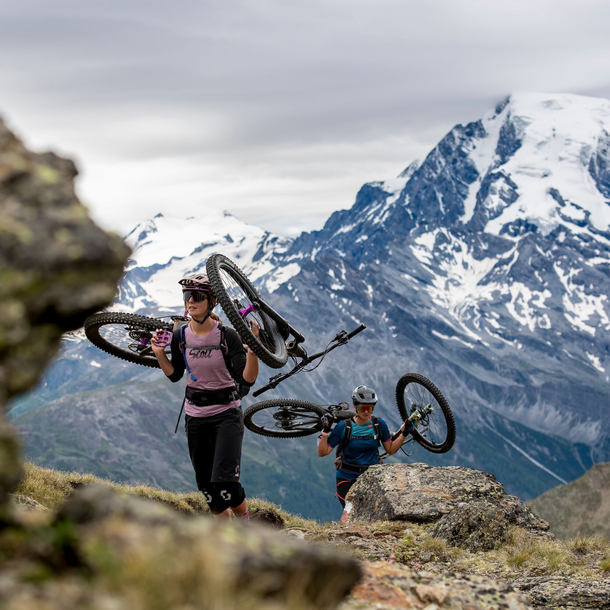
Those who love bumpy descents are exactly right on this route. It is a challenge and aimed at bike experts. The ride starts with PostAuto (reservation) to Umbrail Pass, where the trail leads with a long...
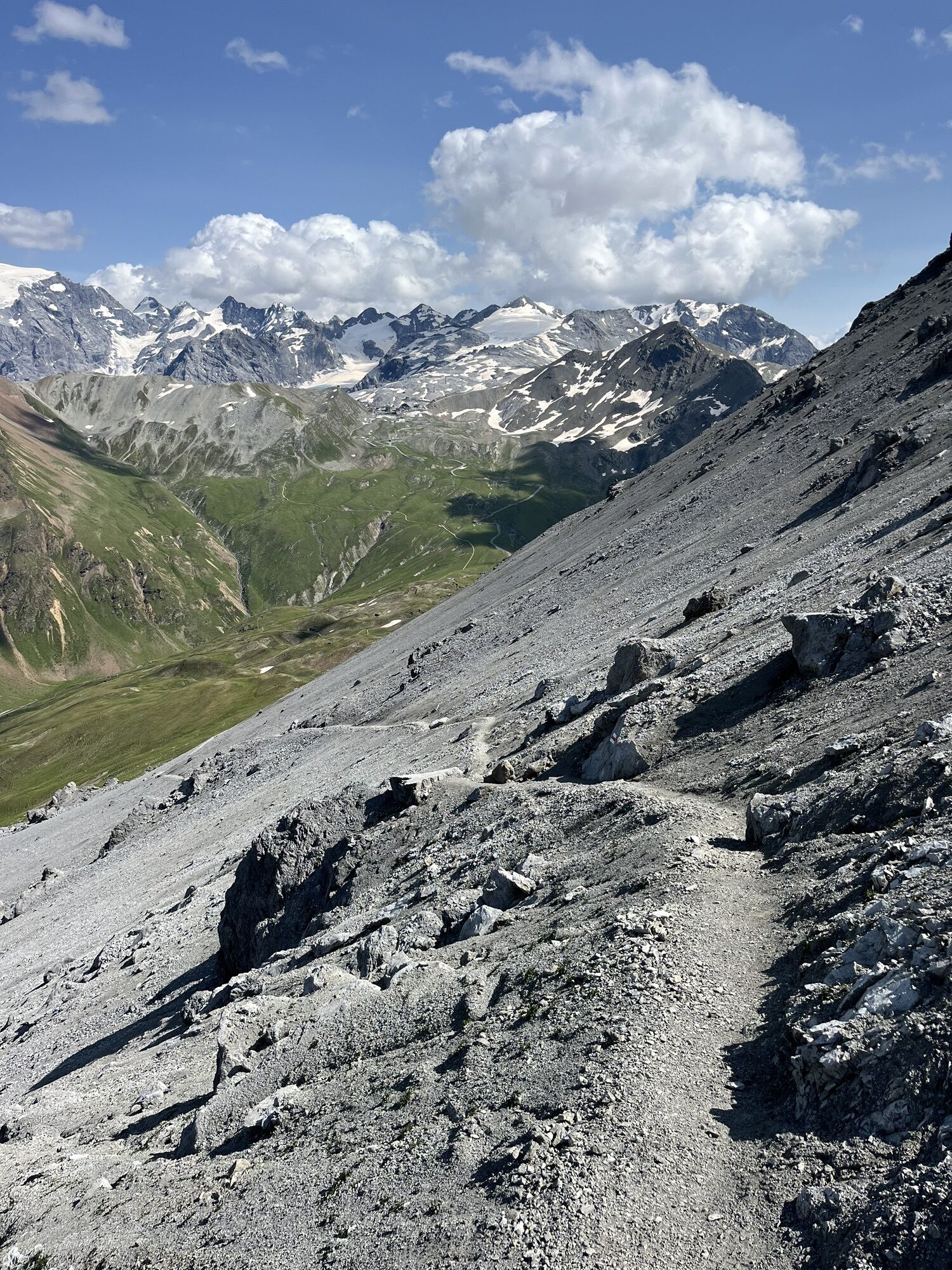
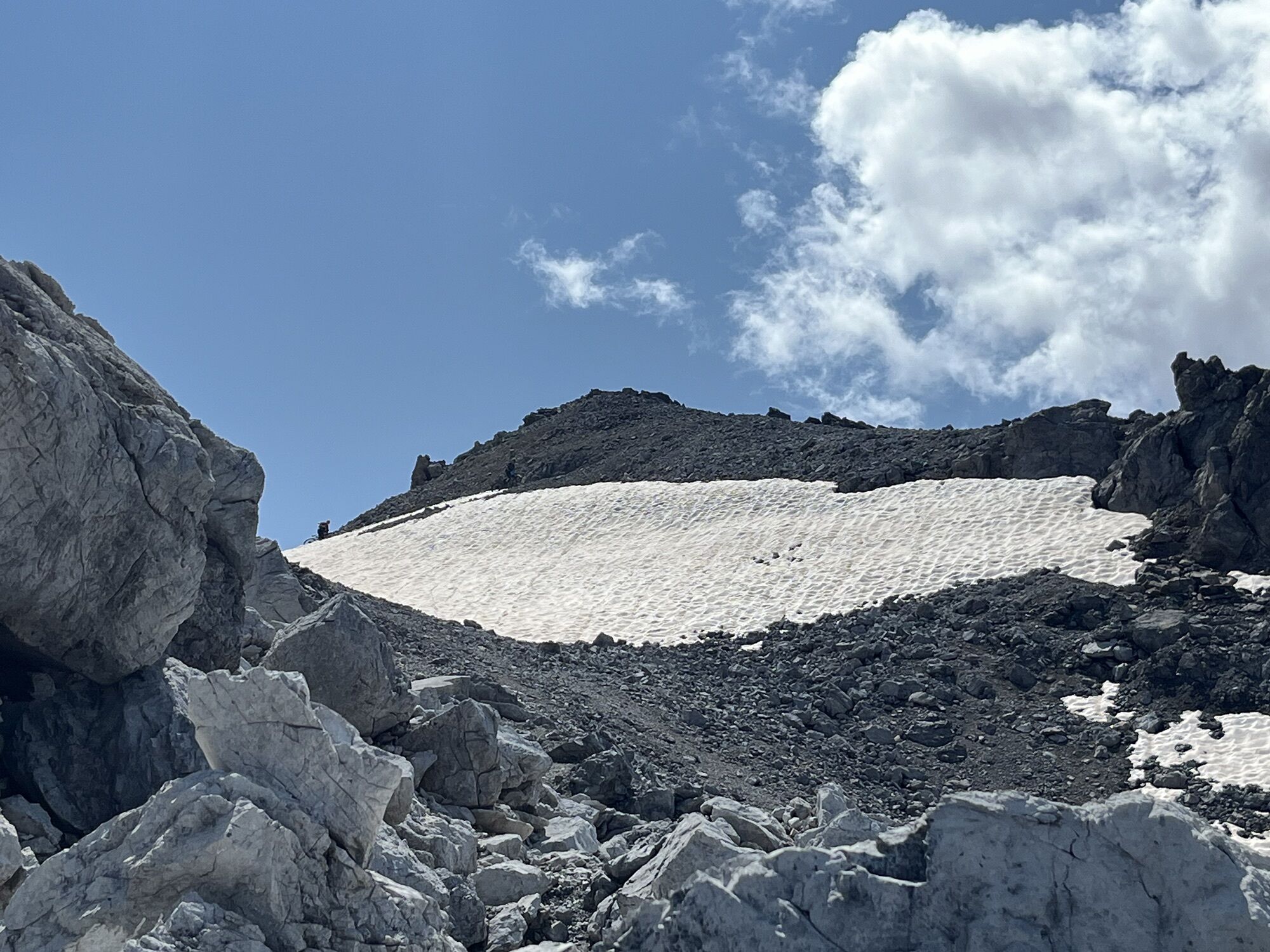
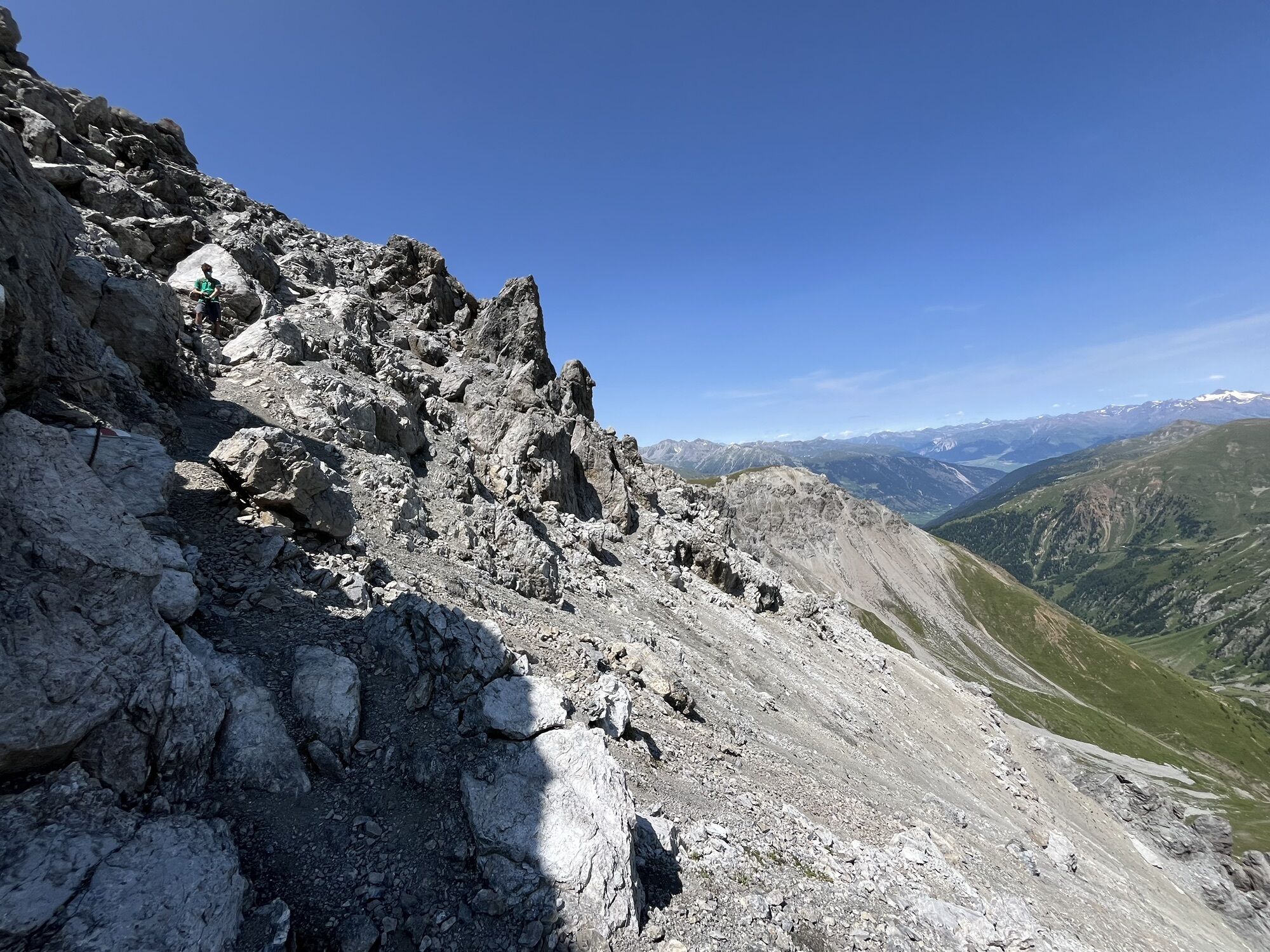
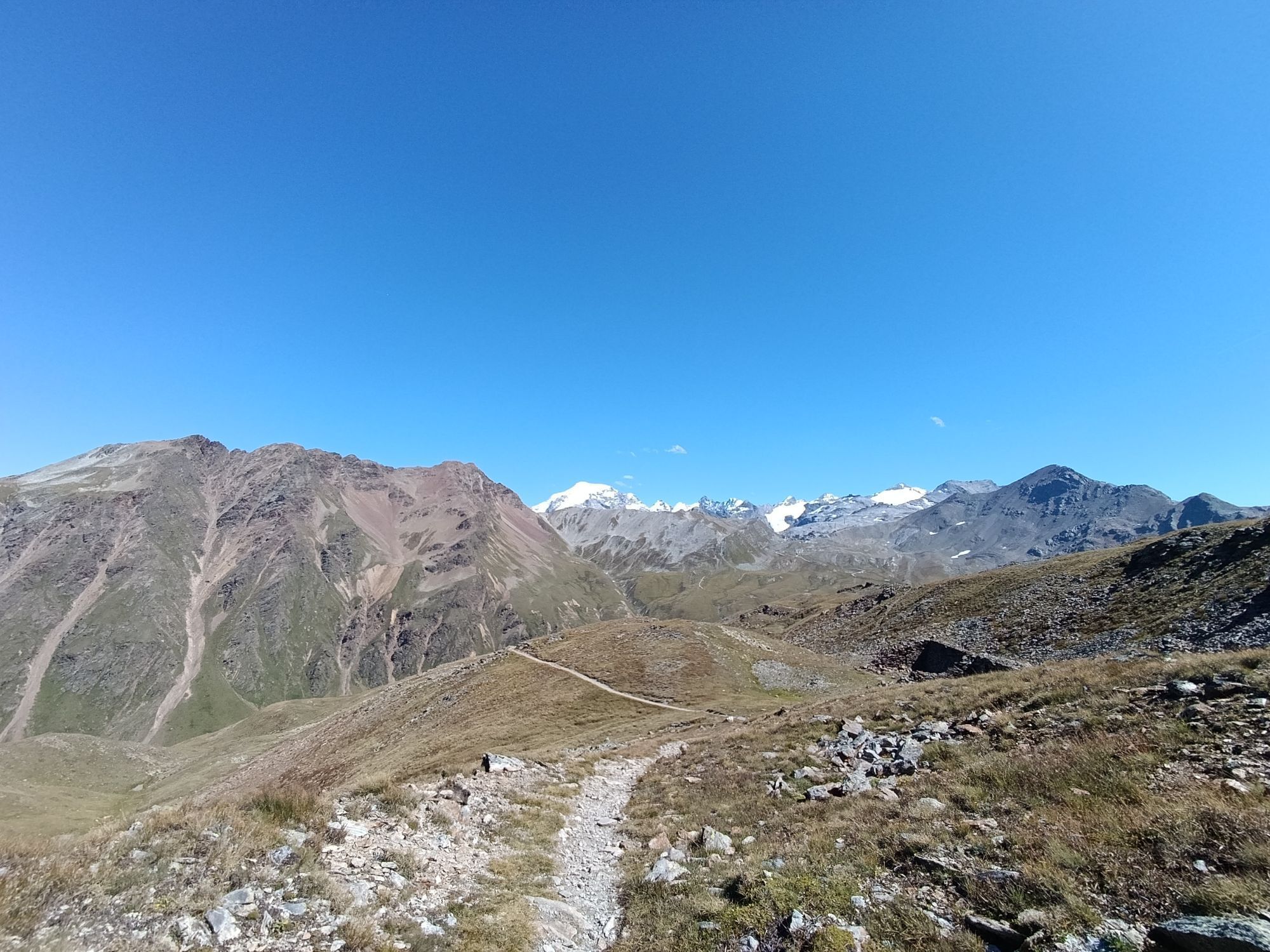
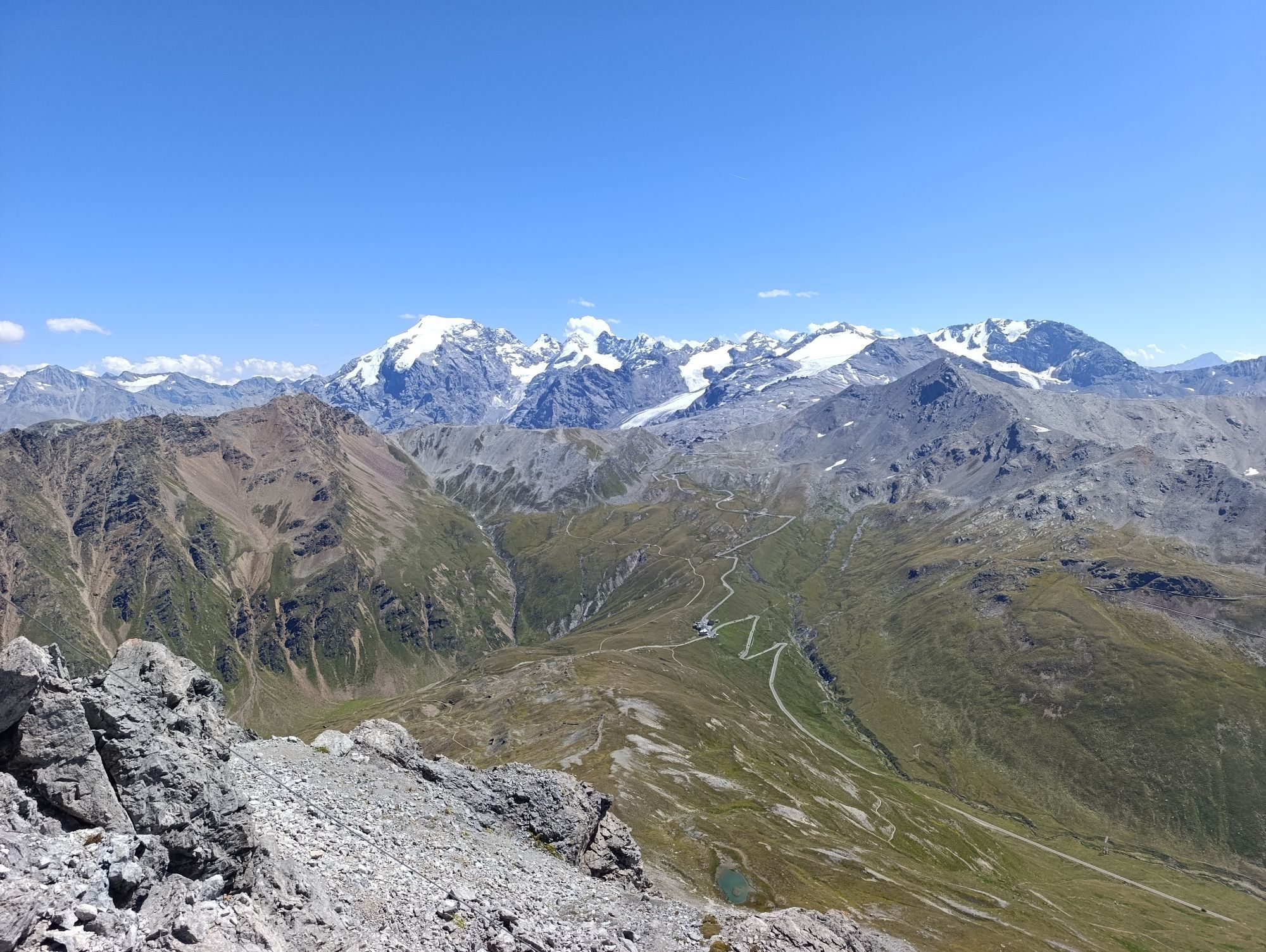
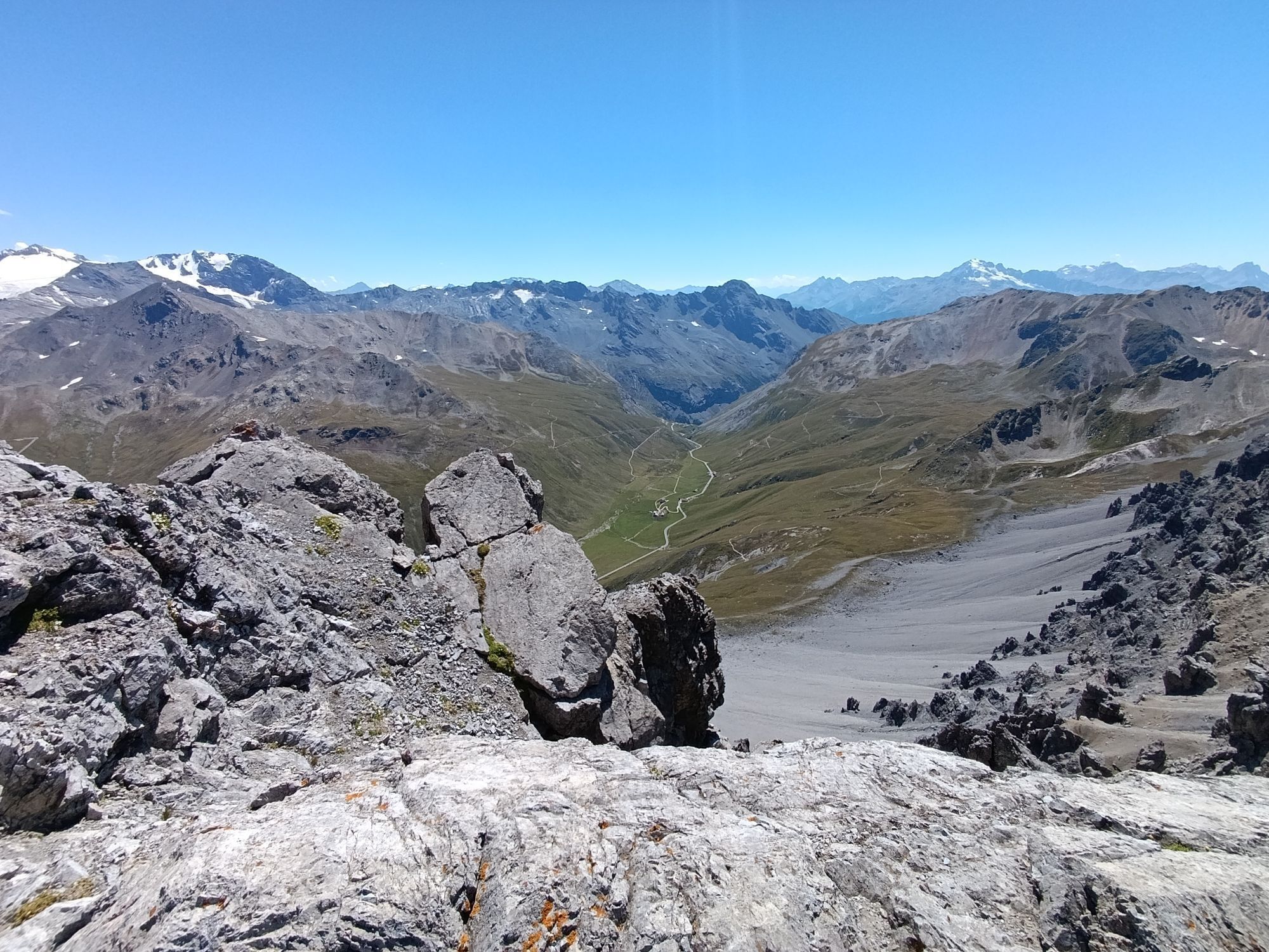
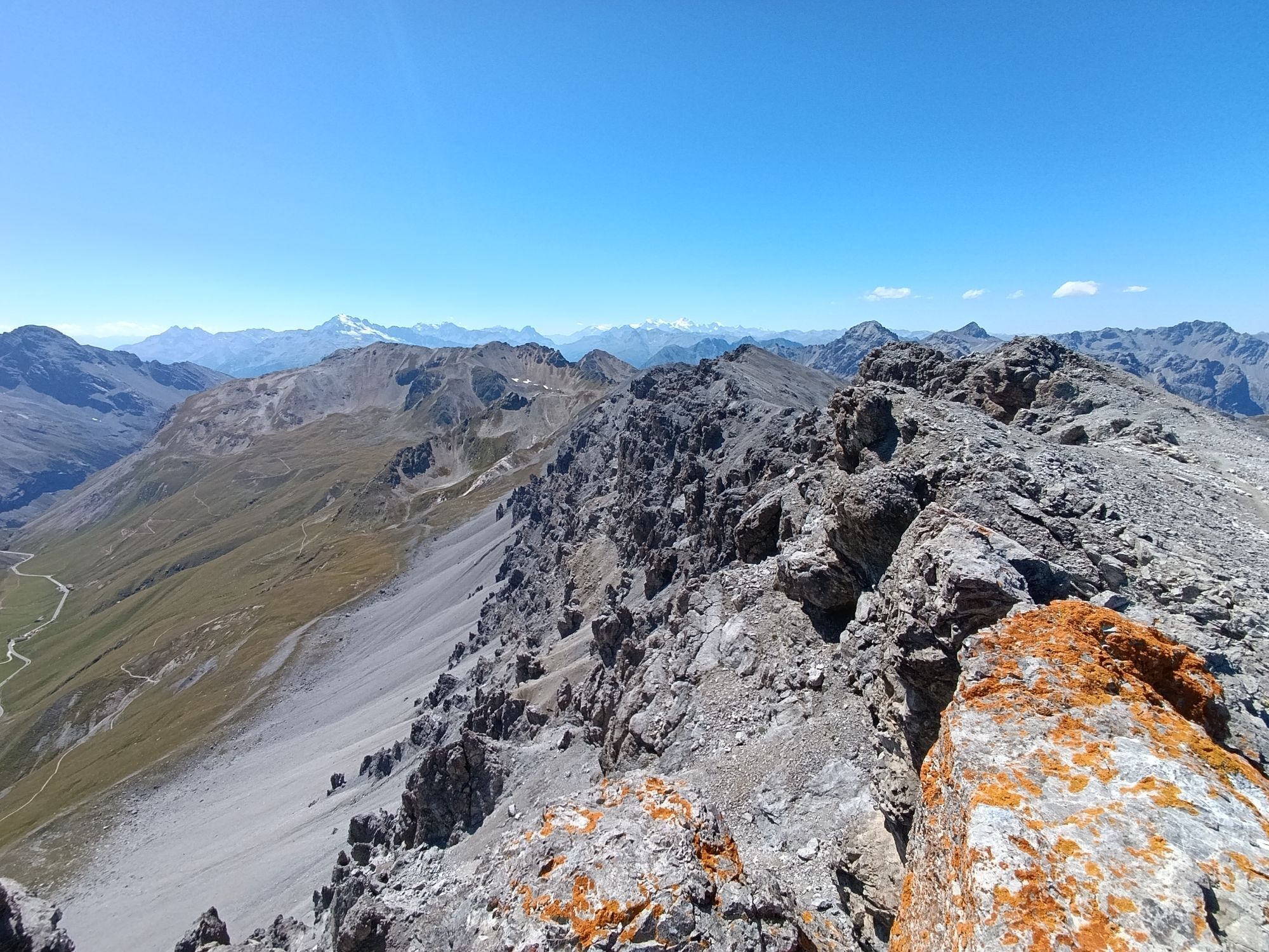
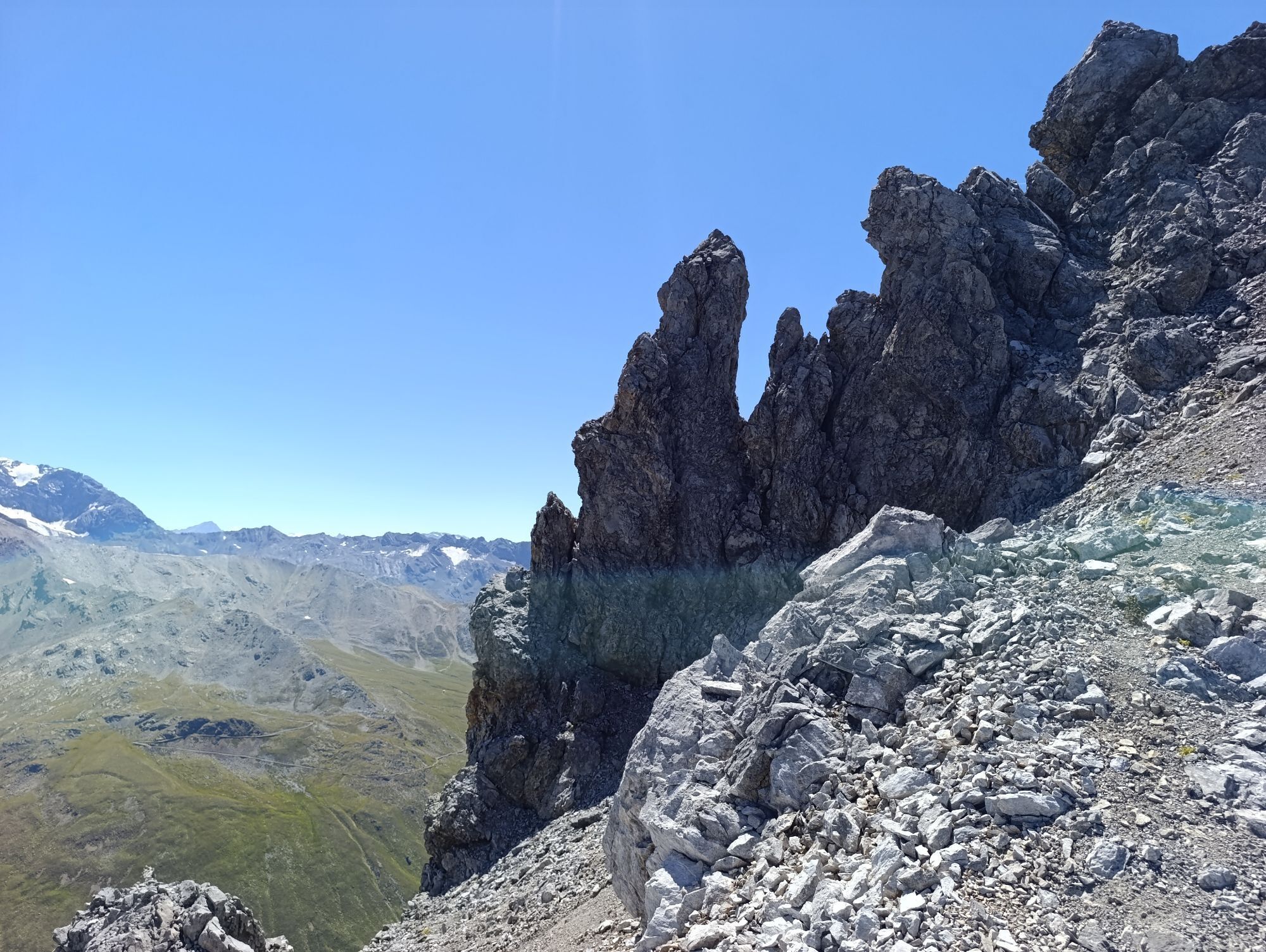
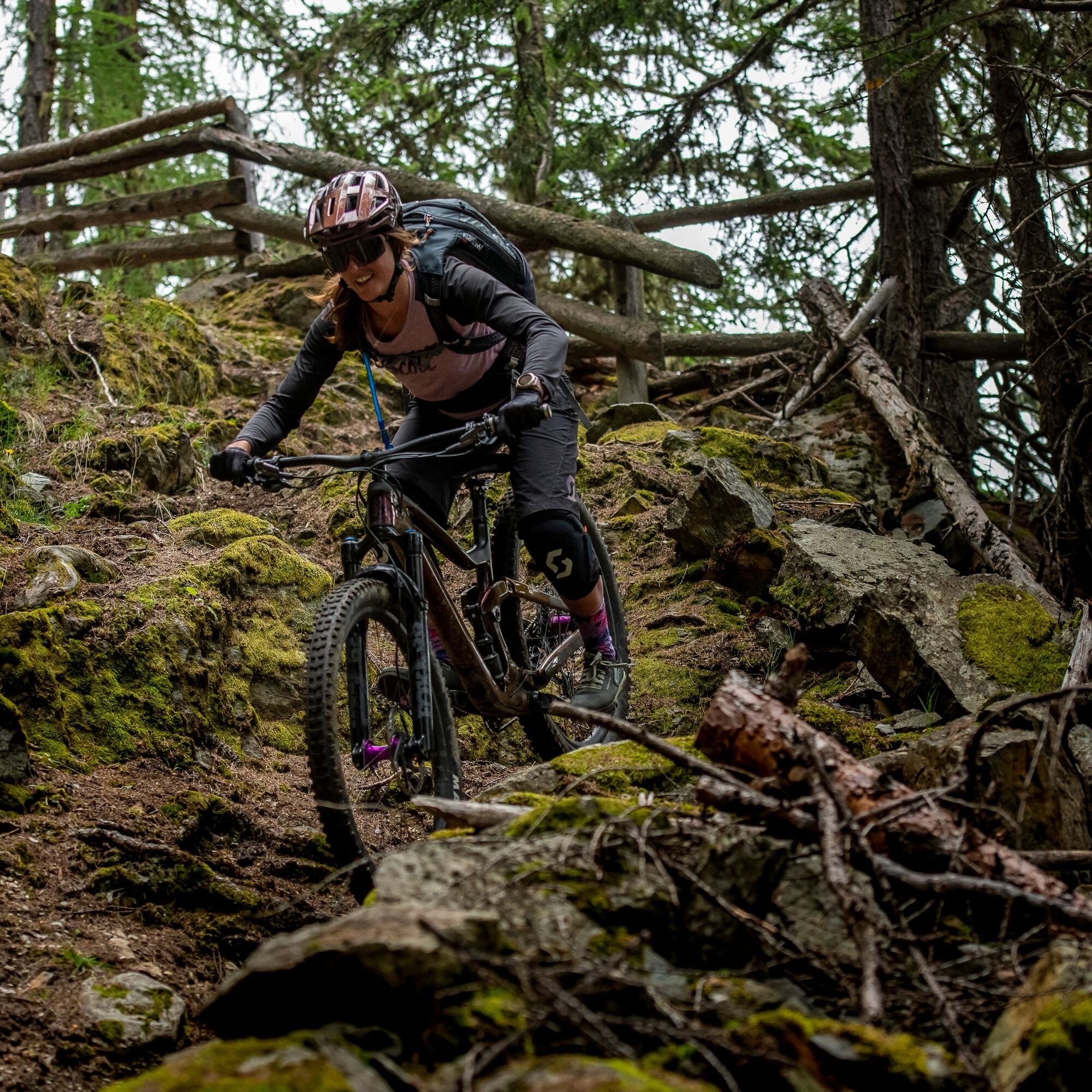
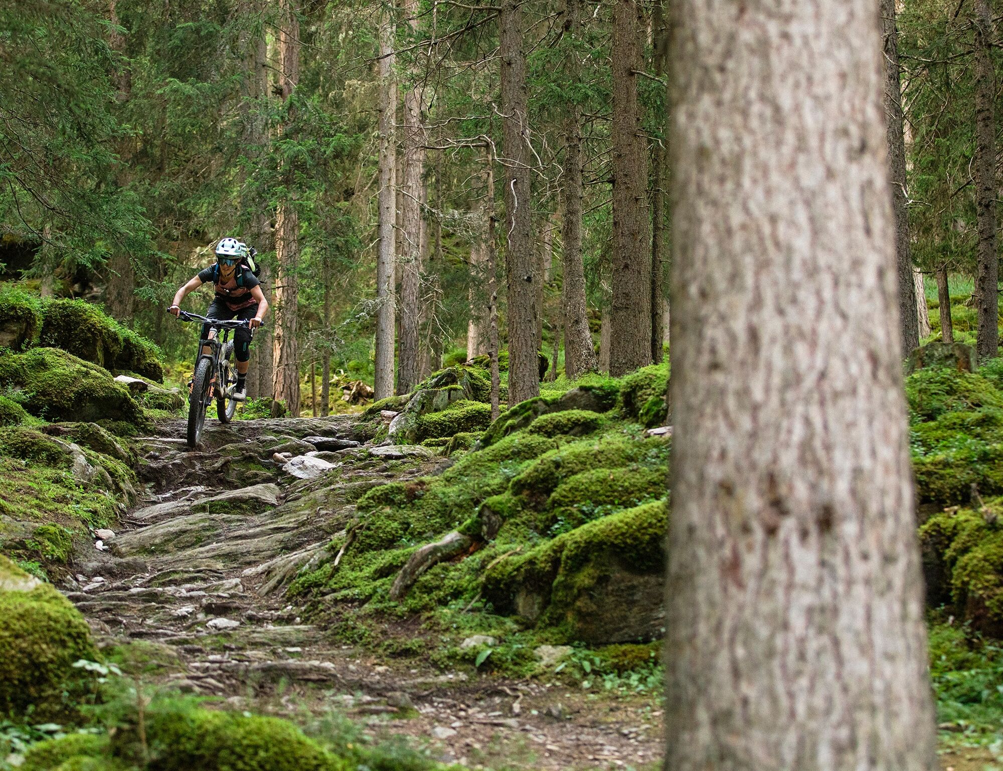
Those who love bumpy descents are exactly right on this route. It is a challenge and aimed at bike experts. The ride starts with PostAuto (reservation) to Umbrail Pass, where the trail leads with a long and strenuous carrying section towards Piz Umbrail. After the ascent, the first singletrail descent follows, technically medium difficulty and partly rocky. Continuing towards Val Vau, you cross the stream and after short forest road sections reach the crowning finale: the "Hom dal Chapé." Starting at the wooden sculpture, the trail leads 1.5 km through dense forest over rooty and rocky sections to Valchava.
Priority is regulated and depends on the service days of the hiking bus PostAuto Val Vau: Wed, Thu and Sat priority for hikers! On other days coexistence applies.

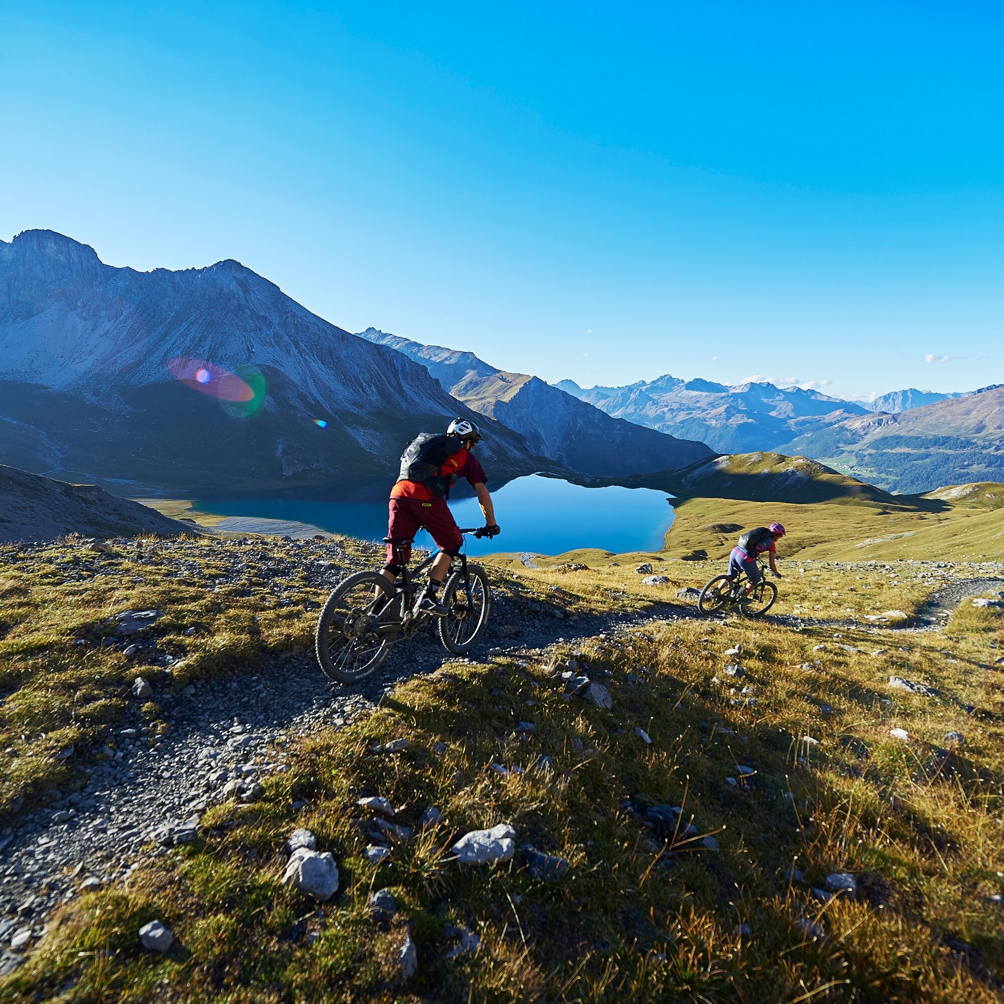
Umbrail pass height – Piz Umbrail – Lai da Rims – Val Vau – Valchava
Áno
The extensive trail network of Graubünden is almost equally open to hikers and bikers – provided there is a tolerant approach.
We have a word for that: Fairtrail.
Sometimes you wish to be alone in the world. Or at least on the hiking trail. But you are not. Therefore, you have to arrange with the others. It is not so difficult, and nobody really minds a smile and a smile back. So:
On wheels …
you make yourself noticeable early with the bell. you always give way to hikers. you pass at walking speed or briefly dismount.On foot …
you know that of course you have the right of way. you step aside when there is enough room. you do not unnecessarily hinder bikers.From the north: via Landquart – Klosters by car transport through the Vereina tunnel (Selfranga – Sagliains) or via Flüela Pass and Ofen Pass to the Ofen Pass height (Süsom Givè).
From the east: via Landeck / Austria towards St. Moritz on H27 to Zernez, then via Ofen Pass to the Ofen Pass height (Süsom Givè).
From the south: via Reschen Pass (Nauders-Martina) through Val Müstair via Ofen Pass to the Ofen Pass height (Süsom Givè).
Hourly by the Rhaetian Railway (from Chur, Landquart/Prättigau or Upper Engadin) to Zernez station.
Hourly by PostAuto (from Zernez) towards Val Müstair.
S4
This route requires a high level of riding confidence, balance, and technical biking skills as well as a head for heights.
Reserve PostAuto to Umbrail Pass in advance or take the Romex bike shuttle to the starting point at the pass height.
Webové kamery z prehliadky
Obľúbené výlety v okolí
-
3,7
Payerhütte 3020m
Turistika 6,98 km -
5,0
Wanderung/Aufstieg zur Payerhütte
svetloTuristika 15,9 km -
4,3
Sonnenaufgang auf der Rötelspitze im Nationalpark Stilfserjoch
Turistika 2,02 km -
3,4
Sta.Maria, Prà da Vau - Lai da Rims - Alp Sot - Prà da Vau
ťažkéTuristika 14,7 km -
4,3
Ortler – Normalweg
ťažkéVysoké turné 7,30 km -
1,0
Tabarettahütte 2555m zur Payerhütte 3020m
Turistika 3,82 km -
5,0
Ortler über Hintergrat
ťažkéVysoké turné 8,03 km -
3,3
Watervallen wandeling
svetloTuristika 4,95 km -
Ortler über Meraner Weg (vom Tal/Trafoi)
ťažkéVysoké turné 11,9 km -
5,0
Goldtoni - Wandern - Ortler
ťažkéVysoké turné 22,6 km
Turistika a stopovanie


Nenechajte si ujsť ponuky a inšpiráciu na ďalšiu dovolenku
Vaša e-mailová adresa bol pridaný do poštového zoznamu.