


Sils - Surlej - Lej Marsch - Sils

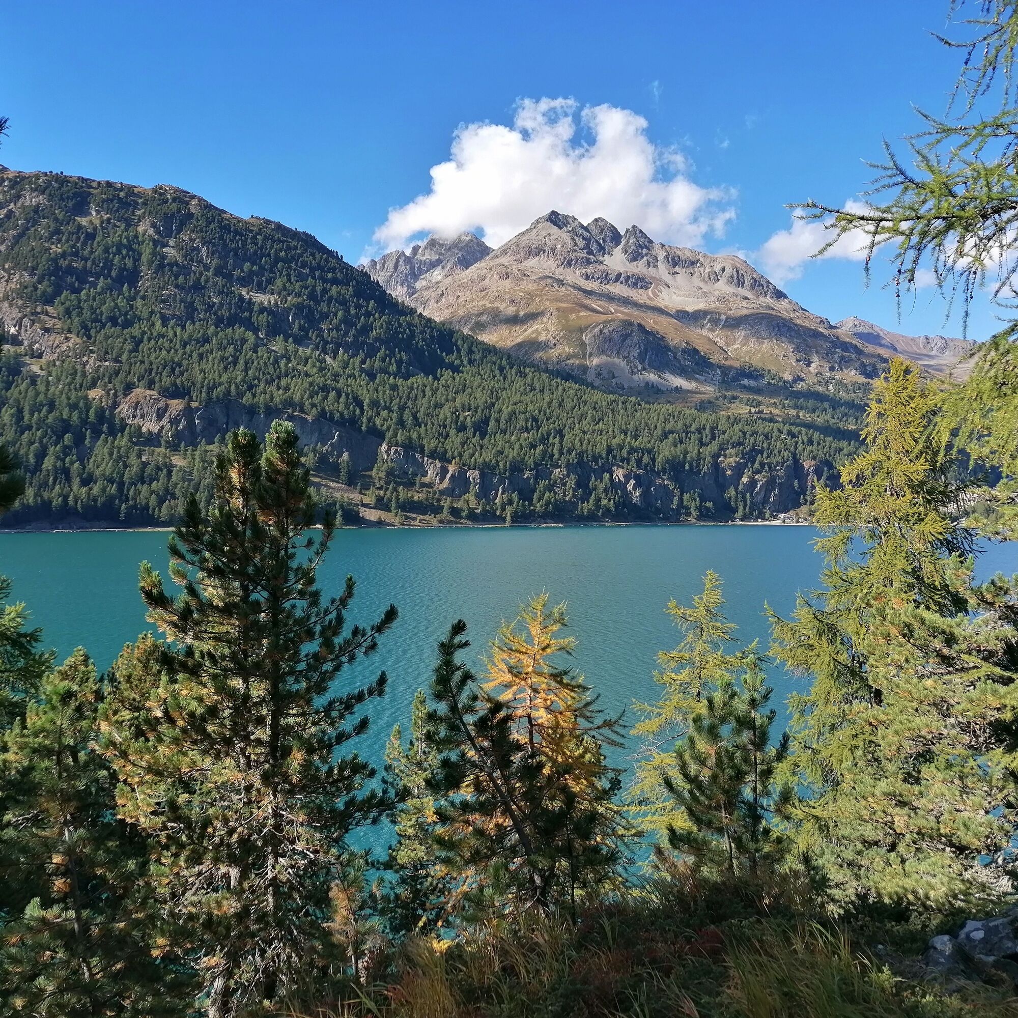
Passing the valley station of the Furtschellas cable car, the path runs along the shore of Lake Silvaplanersee to Surlej. At Malojawind, many water sports enthusiasts gather on this lake, which is filled...
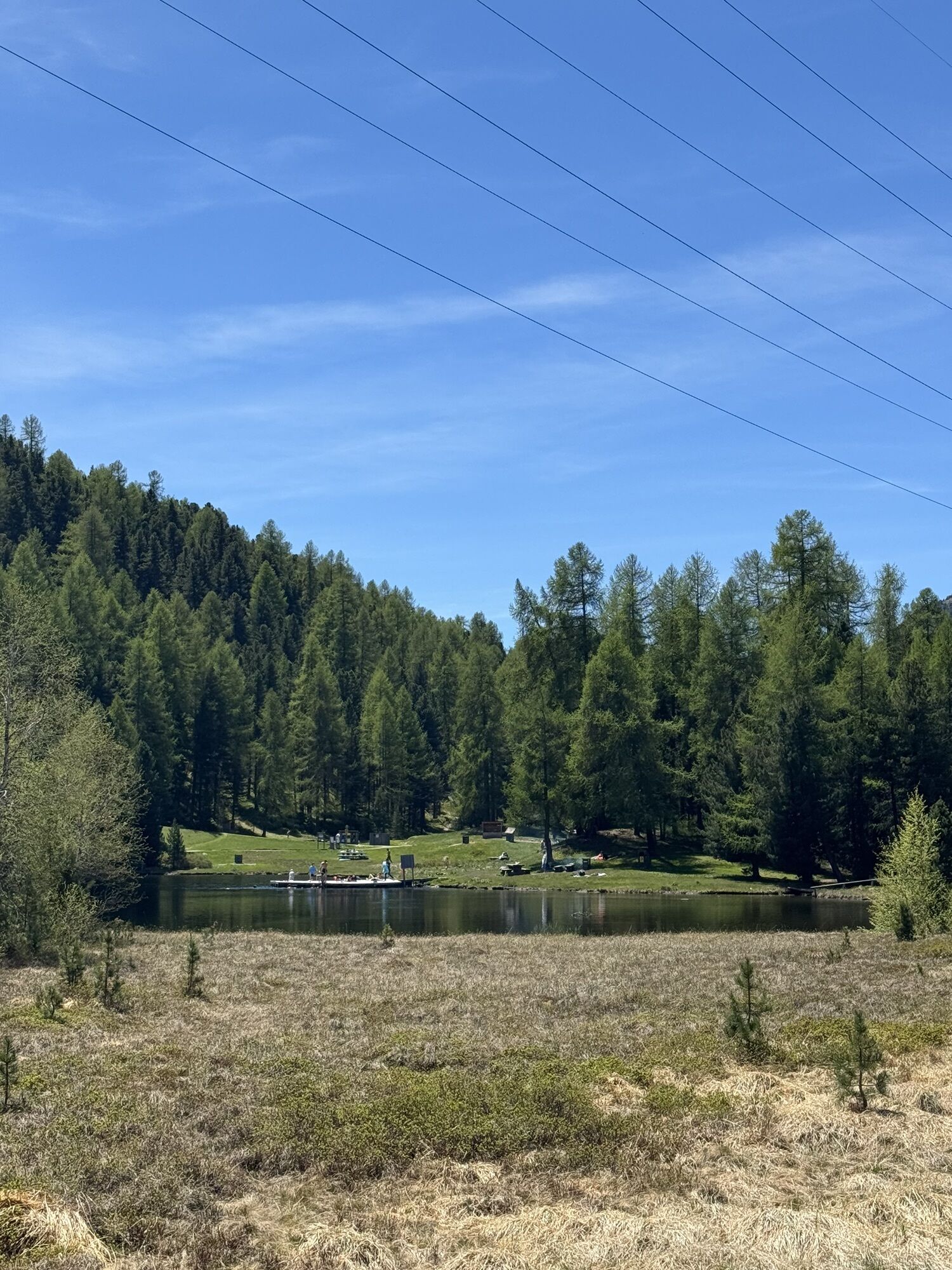
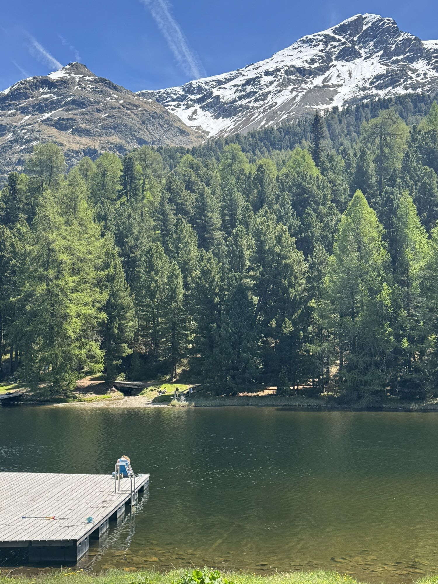
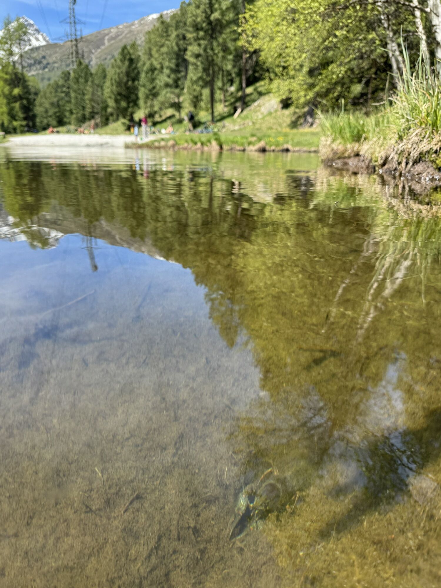
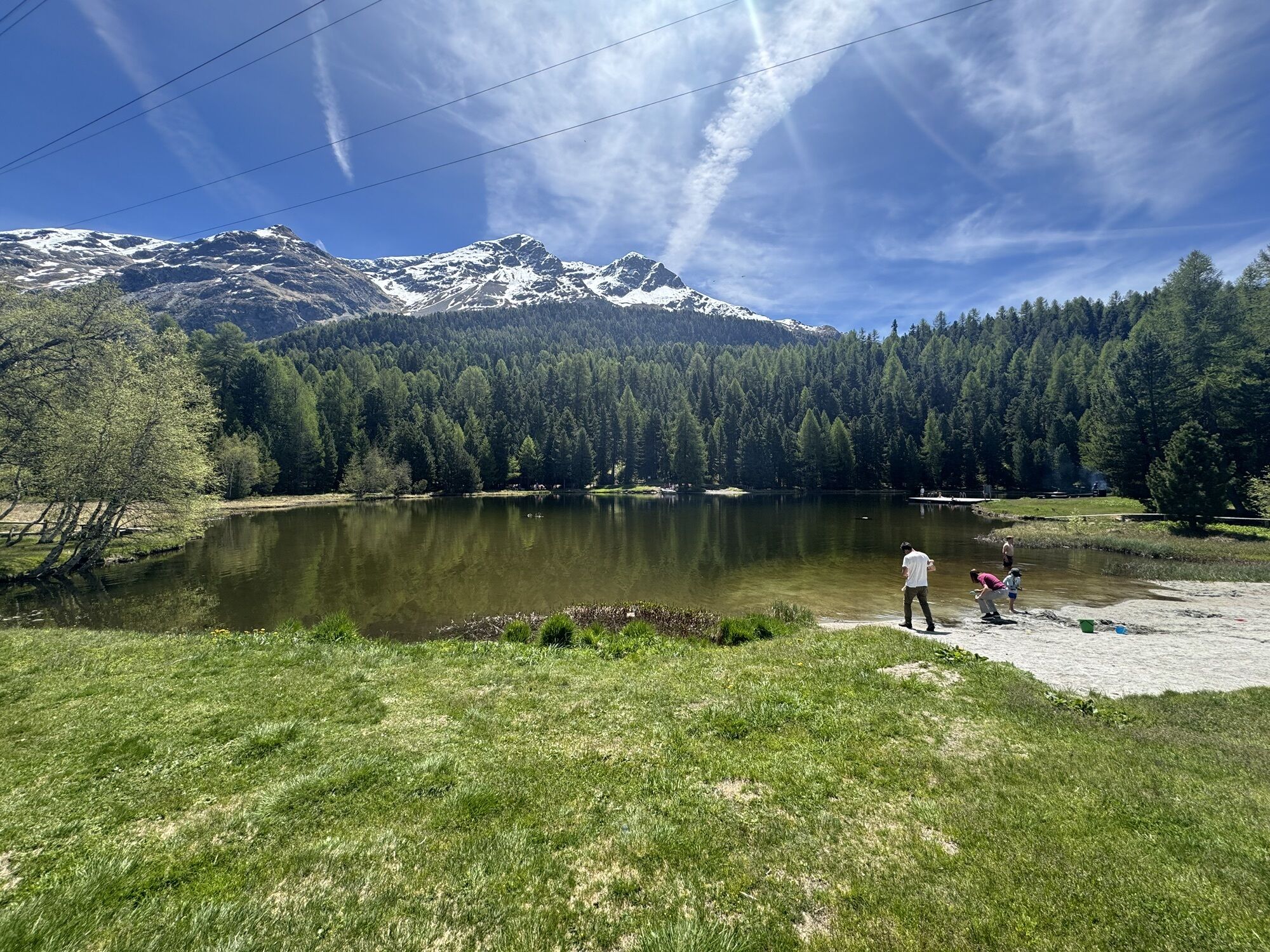
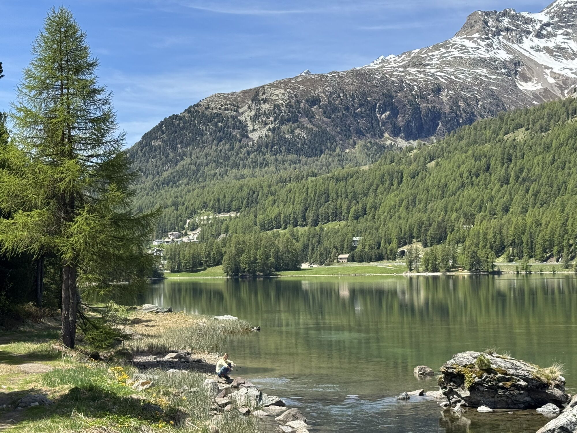
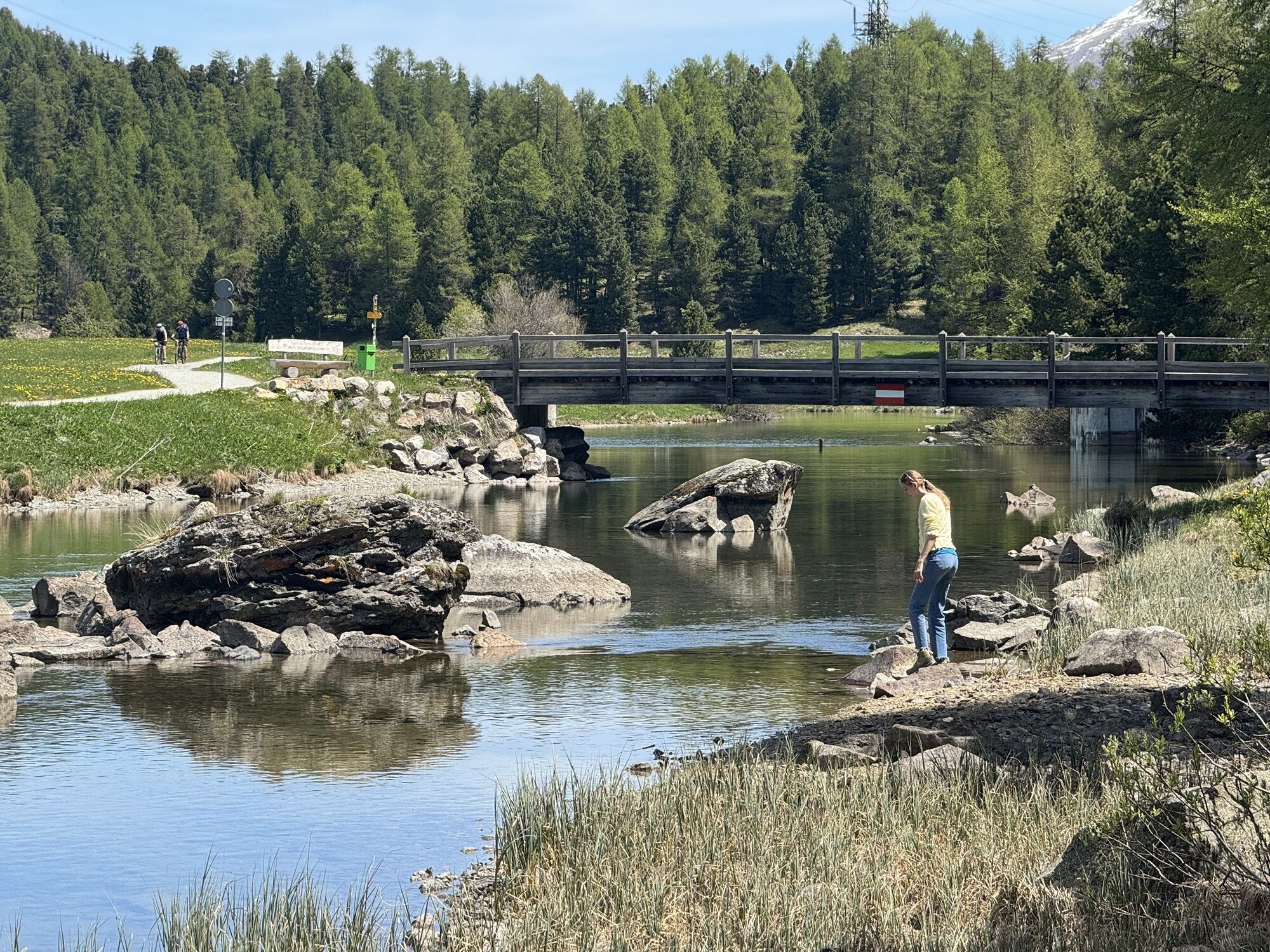
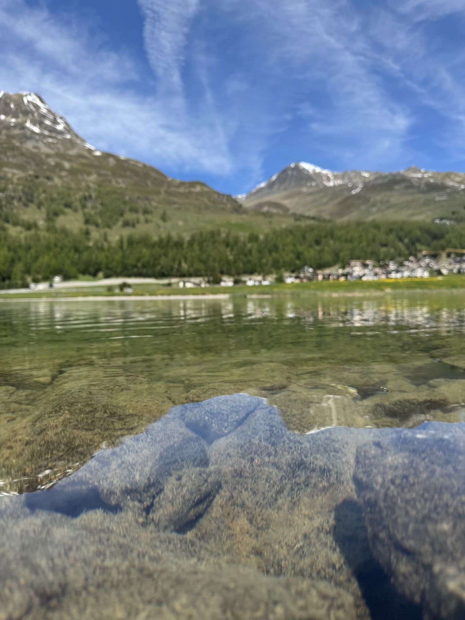
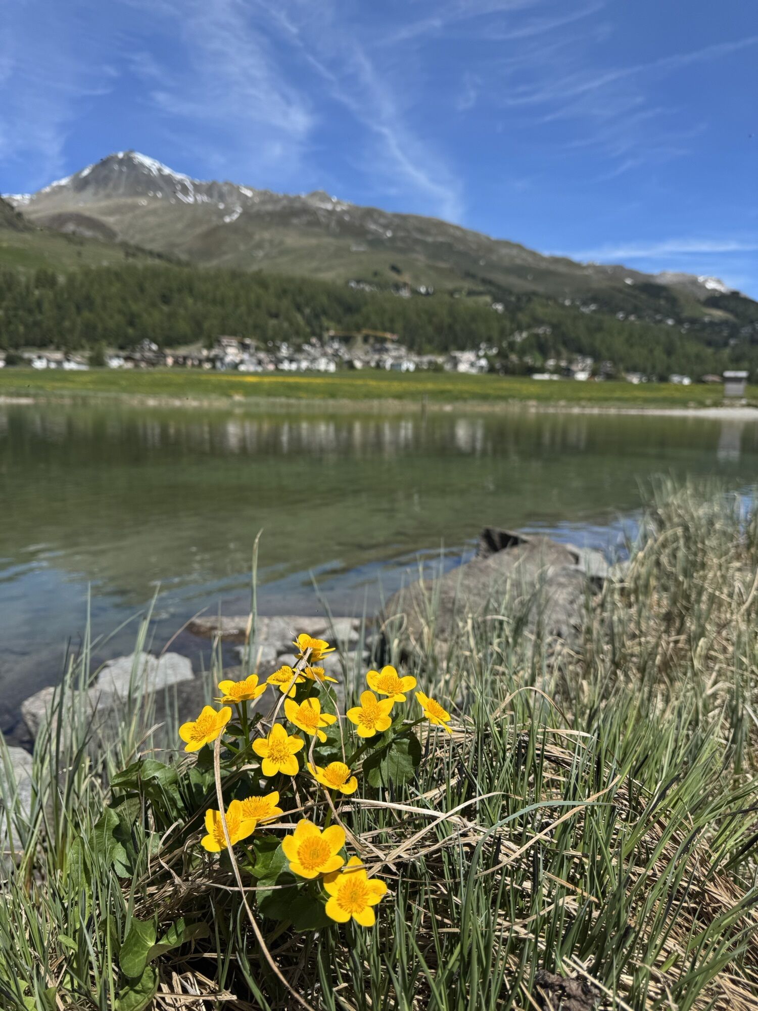
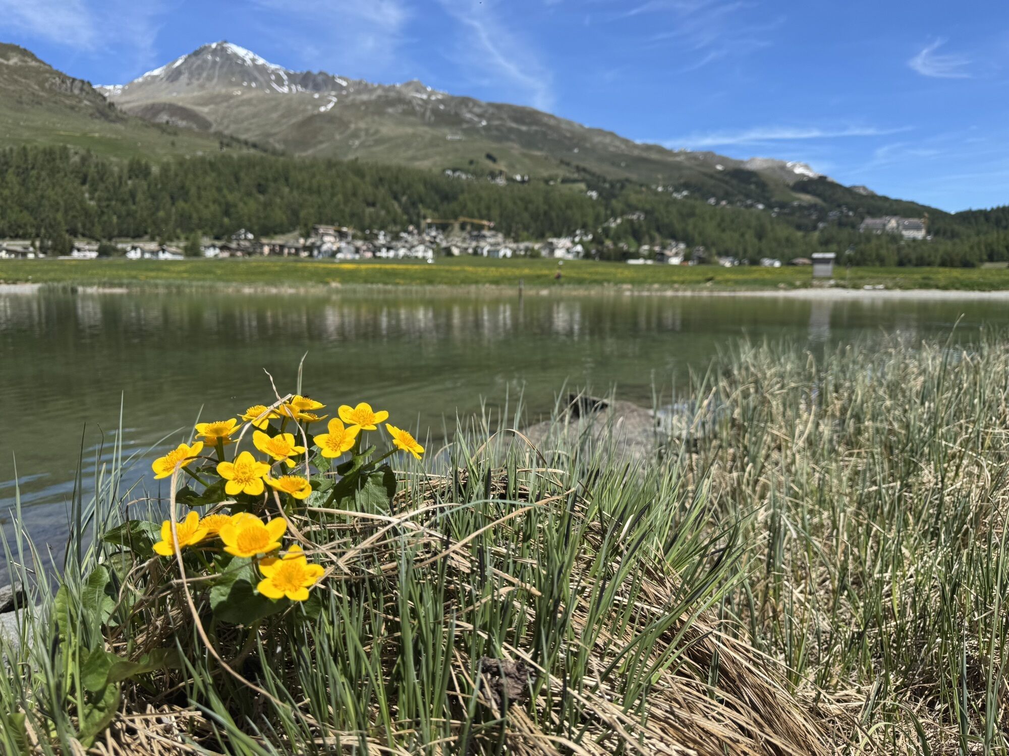
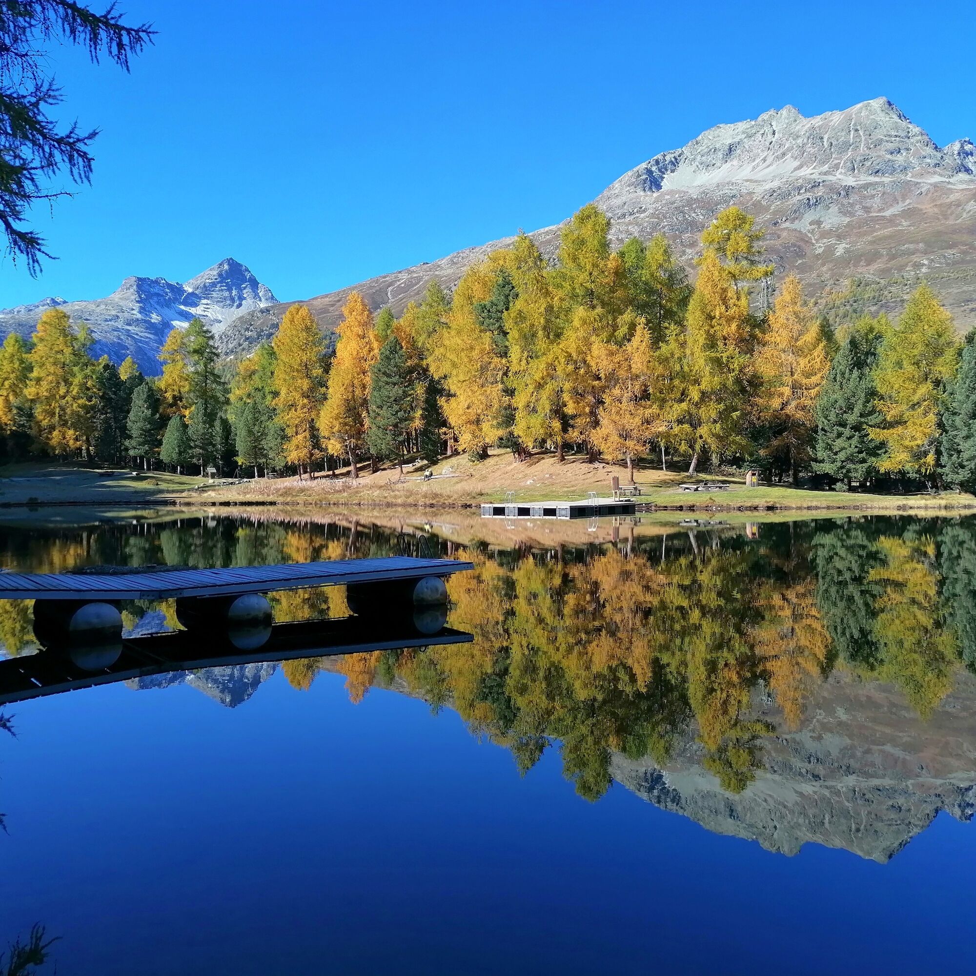
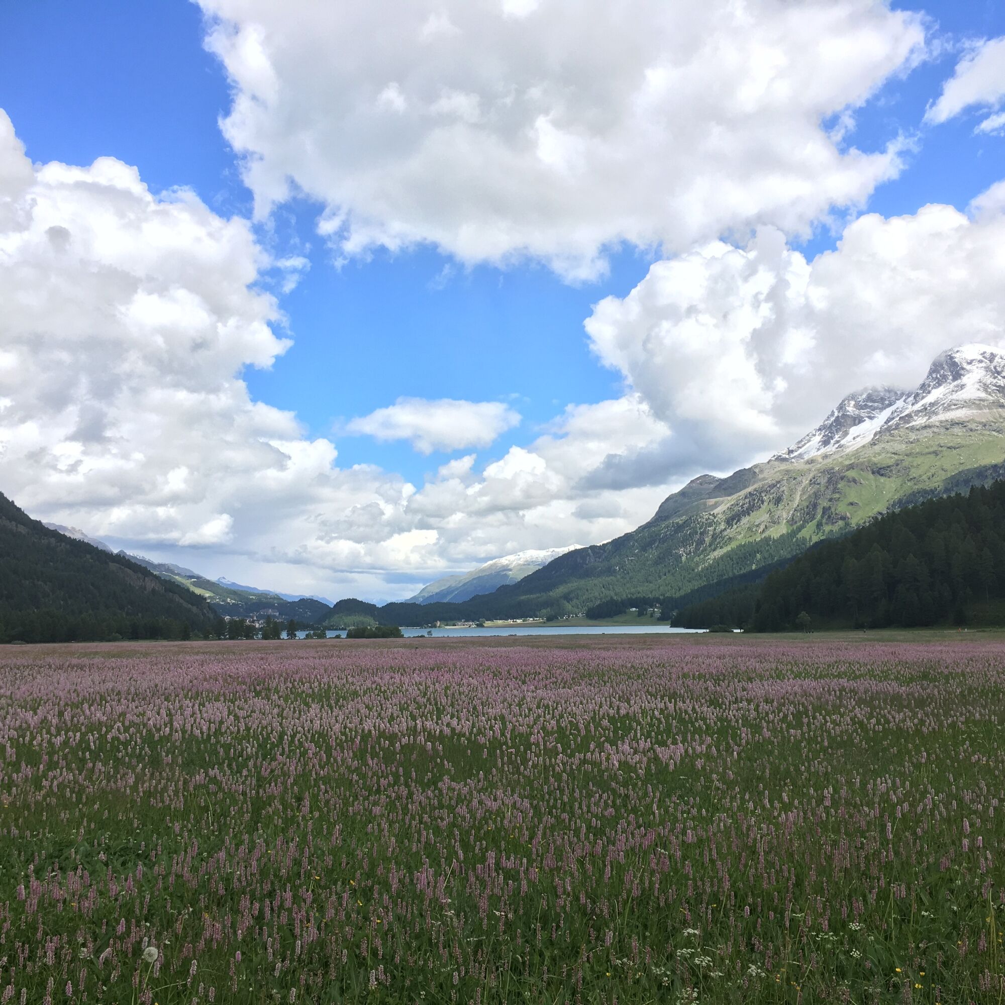
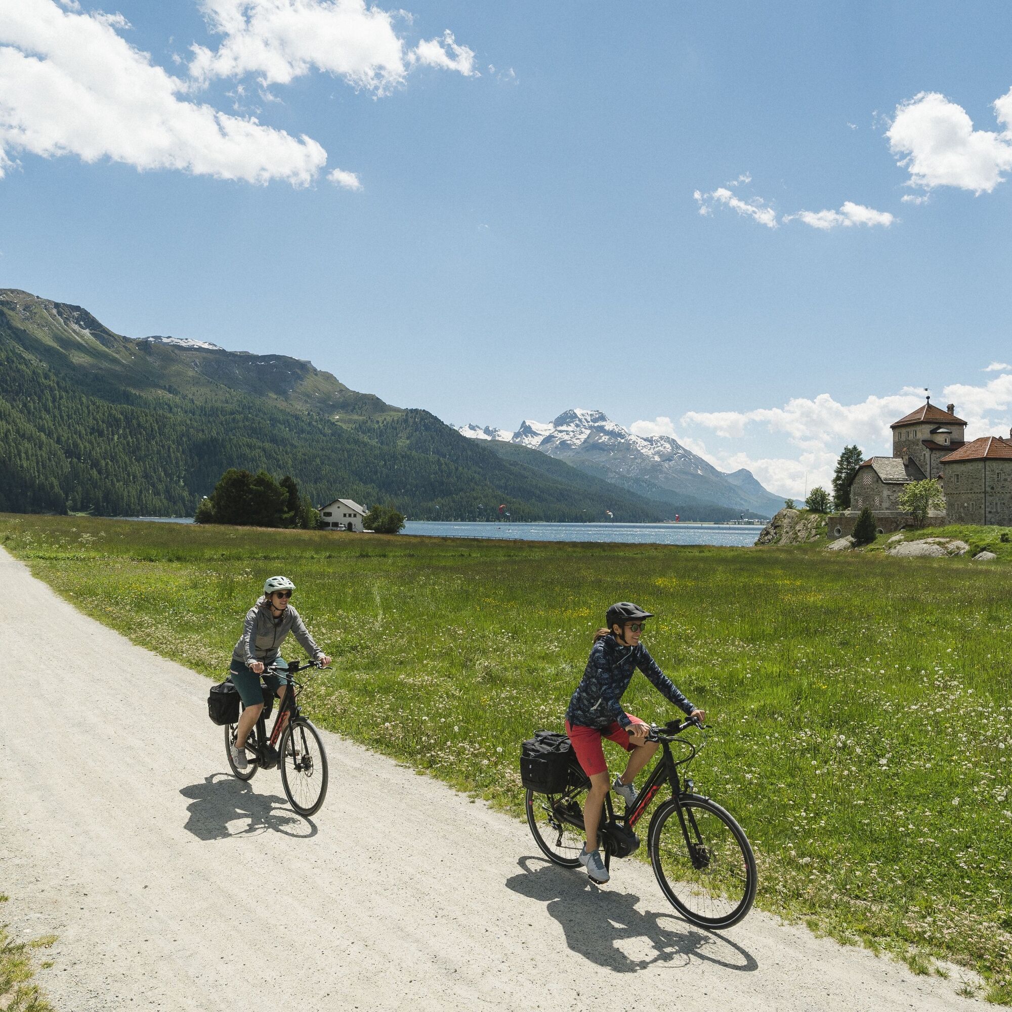
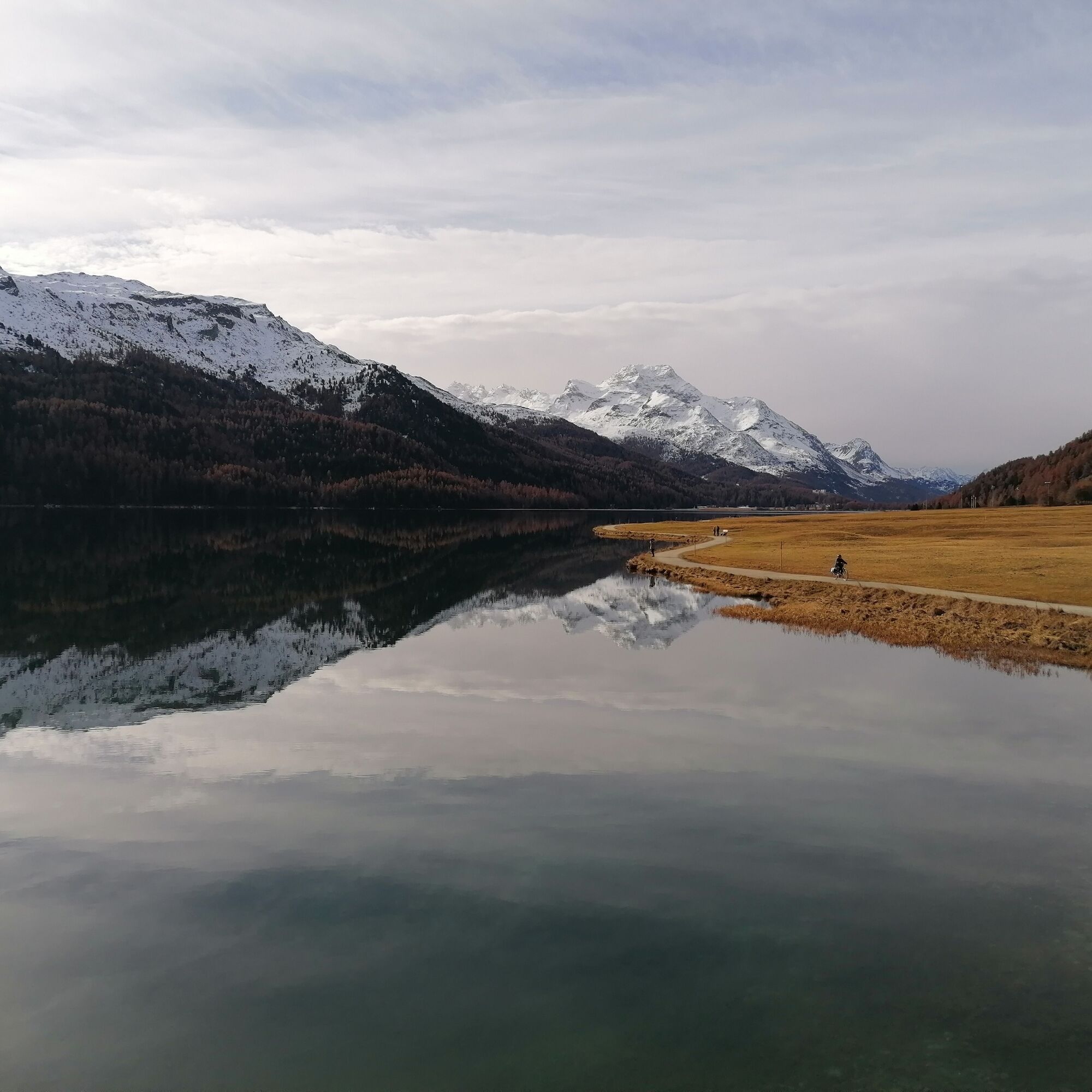
Passing the valley station of the Furtschellas cable car, the path runs along the shore of Lake Silvaplanersee to Surlej. At Malojawind, many water sports enthusiasts gather on this lake, which is filled with many colorful windsurfers, kitesurfers, and sailors skimming over the lake and the waves. Past the Crap da Sass castle, the route continues to the enchanted Lej Ovis-chel and along the Inn River to Lej Marsch. The often pleasantly warm bathing lake for Engadin conditions, as well as its immediate natural surroundings, invite you to swim, picnic, and barbecue. On the return, the route passes Lej Nair and Lej Zuppò, then ascends to the high moorland plateau Palüd Lungia and continues to Surlej. The official mountain bike route No. 1 takes you high above Lake Silvaplanersee through the varied and impressive mountain forest back to Sils. Time and again, the views of the often mint-green shining Lake Silvaplanersee amaze.
Further information
Engadin St. Moritz Tourism AG
Via Maistra 1
CH-7500 St. Moritz
Phone: +41 81 830 00 01
E-mail: allegra@engadin.ch
Internet: www.engadin.ch


Sils Maria - Silvaplanersee - Surlej - Lej Marsch - Lej Nair - Lej Zuppò - Palüd Lungia - Surlej - Alp Surlej - Sils Maria
Áno
This route follows official hiking trails, alpine and forest roads. Consideration and caution are expected.
Engadin - Sils Maria
Bus stop Sils/Segl Maria, Posta
Parking garage Sils/Segl Val Fex
See also
Sils Tourist Information
T +41 81 838 50 50
www.sils.ch / www.engadin.ch
There are cozy barbecue areas at the moorland lakes Lej Zuppò, Lej Nair, and Lej Marsch.
Webové kamery z prehliadky
-
Corviglia
-
Corvatsch
-
Marguns - Plateau Nair
-
Corviglia
-
Corviglia
-
Corviglia
-
Corviglia
-
Corviglia
-
Corviglia
-
Sils - Hotel Waldhaus
-
Corviglia
-
Silvaplana - Mittelstation Murtèl
-
Silvaplana - Mittelstation Murtèl
-
Silvaplana - Mittelstation Murtèl
-
Silvaplana - Mittelstation Murtèl
-
Corvatsch
-
Corvatsch
-
Corvatsch
-
Corvatsch
-
Corvatsch
-
Celerina - Cresta Palace
-
Samedan - Roseg Gletscher
-
Piz Nair - St. Moritz
-
Celerina - Skiwiese Provuler
-
St. Moritz - Berghotel Randolins
-
El Paradiso
-
Piz Nair Bergstation
-
Piz Nair Bergstation
-
Piz Nair Bergstation
-
Piz Nair Bergstation
-
Piz Nair Bergstation
-
Piz Nair Bergstation
-
Piz Nair Bergstation
-
Silvana - Alpetta Hütta
-
Alpetta Hütta, Corvatsch
-
Corvatsch - Hossa Bar
-
Silvaplana - Hossa Bar
Obľúbené výlety v okolí
-
4,7
Diavolezza - Munt Pers
svetloTuristika 3,82 km -
5,0
Morteratsch station - Boval Hut
strednáTuristika 10,5 km -
5,0
Muottas Muragl - Segantini hut - Pontresina
strednáTuristika 6,46 km -
4,5
Panoramic route Muottas Muragl
svetloTuristika 6,75 km -
4,8
Maloja - Motta Salacina - Lägh da Cavloc - Maloja
strednáTuristika 10,3 km -
4,5
Pontresina - Val Roseg - Pontresina
svetloTuristika 13,8 km -
4,7
Morteratsch Glacier route
svetloTematická trasa 2,88 km -
4,7
SAC Tschierva
svetloTuristika 24,7 km -
4,3
Piz Palü (3.905m) – Hochtour
strednáVysoké turné 13,4 km -
Muottas Muragl - Segantini Hütte - Pontresina
strednáTuristika 17,5 km

Turistika a stopovanie


Nenechajte si ujsť ponuky a inšpiráciu na ďalšiu dovolenku
Vaša e-mailová adresa bol pridaný do poštového zoznamu.