


Fimber Pass – Samnaun-Fuorcla Val Gronda-Sent
Úroveň náročnosti: S3
Fotografie našich používateľov
-
 © Oliver FleckVytvorené dňa 13.01.2025
 -
 © Oliver FleckVytvorené dňa 13.01.2025
 -
 © 9588DYVytvorené dňa 30.08.2023
 -
 © Daniel BulfoniVytvorené dňa 22.08.2022
 -
 © Daniel BulfoniVytvorené dňa 22.08.2022
 -
 © Daniel BulfoniVytvorené dňa 22.08.2022
 -
 © Rudolph MengelbergVytvorené dňa 22.08.2022
 -
 © DanielklsVytvorené dňa 11.04.2026
 -
 © DanielklsVytvorené dňa 11.04.2026
 -

 © schatzlfVytvorené dňa 11.04.2026
 -
 © Markus SchauwienoldVytvorené dňa 06.04.2026
 -
 © Markus SchauwienoldVytvorené dňa 06.04.2026
 -

 © Stefan Kainz 3Vytvorené dňa 03.04.2026
 -
 © Stefan Kainz 3Vytvorené dňa 03.04.2026
 -
 © Soenke NeuberVytvorené dňa 01.04.2026
 -
 © ASVytvorené dňa 28.03.2026
 -
 © Lucia CarrilloVytvorené dňa 22.03.2026
 -
 © Lucia CarrilloVytvorené dňa 22.03.2026
 -
 © HennsVytvorené dňa 16.03.2026
 -
 © Michael Amler 1Vytvorené dňa 13.03.2026
 -
 © Leo GerspacherVytvorené dňa 10.03.2026
 -
 © Paul NebrichVytvorené dňa 10.03.2026
 -
 © Leo GerspacherVytvorené dňa 10.03.2026
 -
 © Stefan GunkelVytvorené dňa 09.03.2026
 -
 © Stefan GunkelVytvorené dňa 09.03.2026
 -
 © Stefan GunkelVytvorené dňa 09.03.2026
 -
 © Vincent CramerVytvorené dňa 09.03.2026
 -
 © Chris Santalucia 1Vytvorené dňa 05.03.2026
 -
 © Chris Santalucia 1Vytvorené dňa 05.03.2026
 -

 © Michał KVytvorené dňa 03.03.2026
 -
 © AHMET KIRKIZVytvorené dňa 03.03.2026
 -

 © Andreas PfefferVytvorené dňa 03.03.2026
 -
 © Michał KVytvorené dňa 03.03.2026
 -
 © Michał KVytvorené dňa 03.03.2026
 -
 © Karla GrychtolVytvorené dňa 22.02.2026
 -
 © Martin Steiner 19Vytvorené dňa 15.02.2026
 -
 © Martin Steiner 19Vytvorené dňa 15.02.2026
 -

 © Thomas Paulsen 1Vytvorené dňa 12.02.2026
 -
 © Winfried VeilVytvorené dňa 10.02.2026
 -
 © KikiVytvorené dňa 07.02.2026
 -
 © KikiVytvorené dňa 07.02.2026
 -
 © Rico HeidenreichVytvorené dňa 07.02.2026
 -
 © DaBobBarleyVytvorené dňa 06.02.2026
 -
 © Ondrej PrucknerVytvorené dňa 05.02.2026
 -
 © Ondrej PrucknerVytvorené dňa 05.02.2026
 -
 © Ondrej PrucknerVytvorené dňa 05.02.2026
 -
 © Ondrej PrucknerVytvorené dňa 05.02.2026
 -
 © Ondrej PrucknerVytvorené dňa 05.02.2026
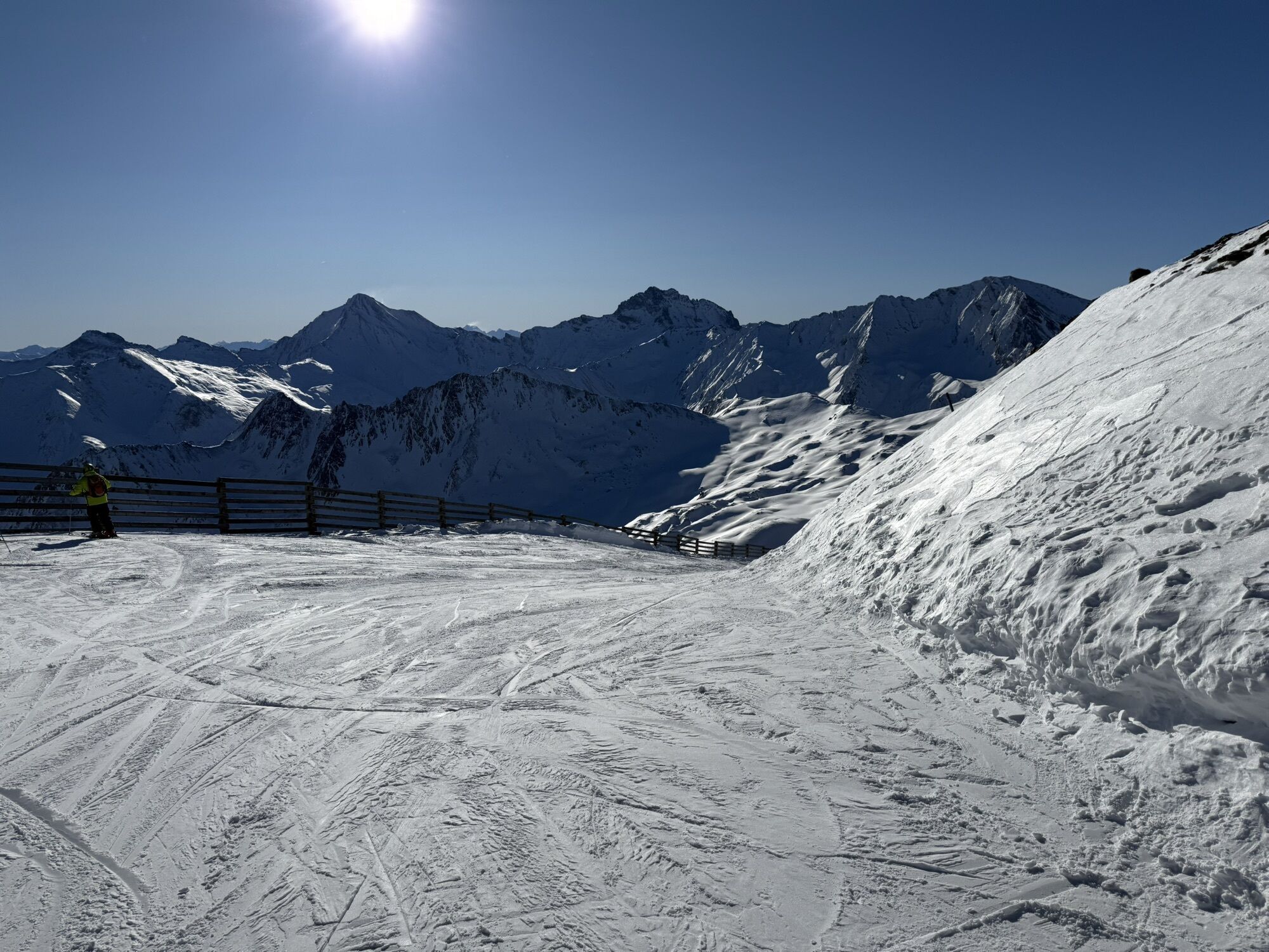
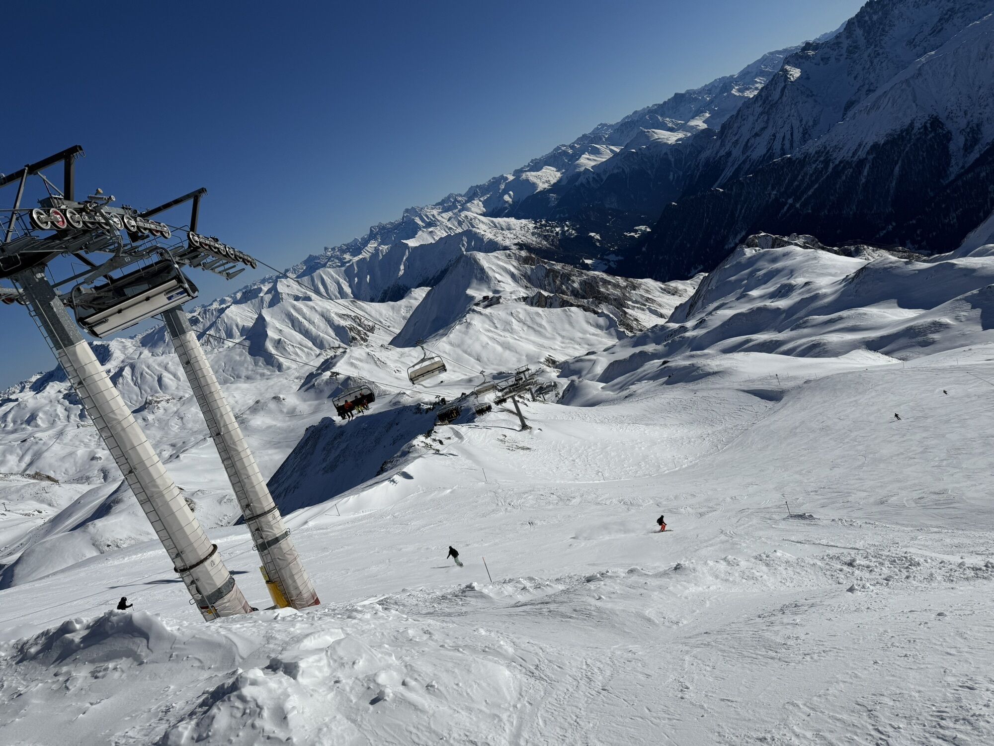


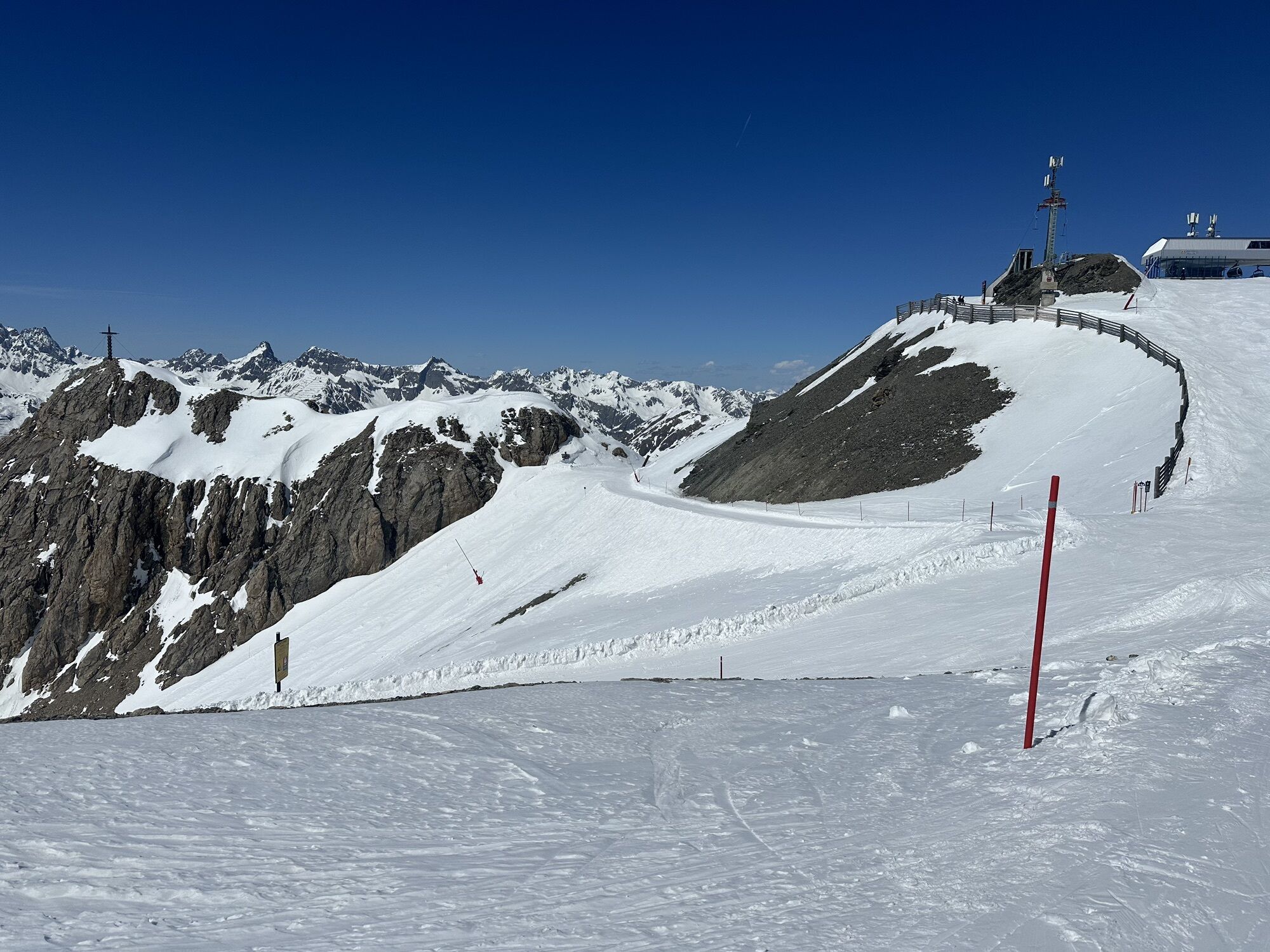
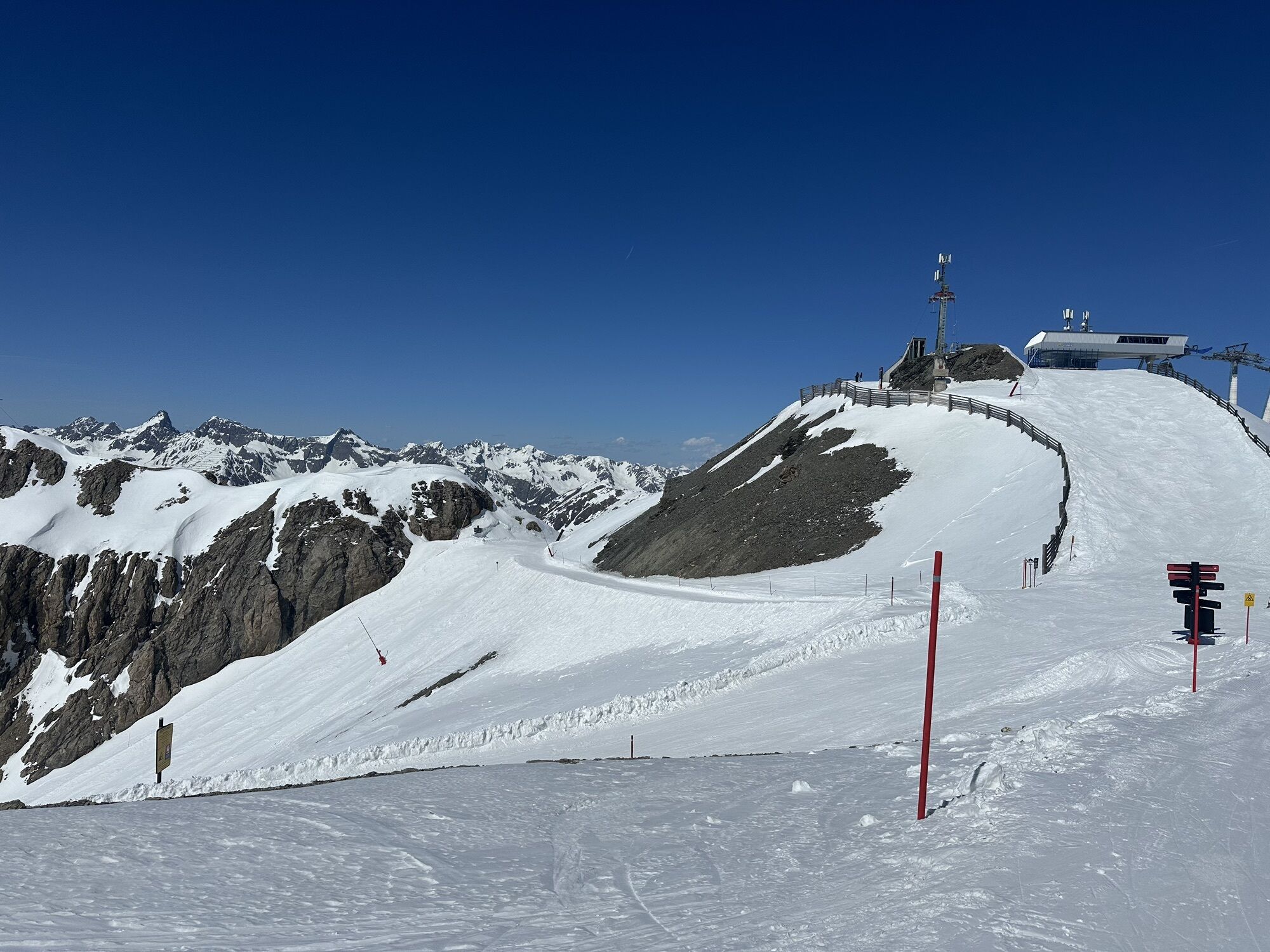
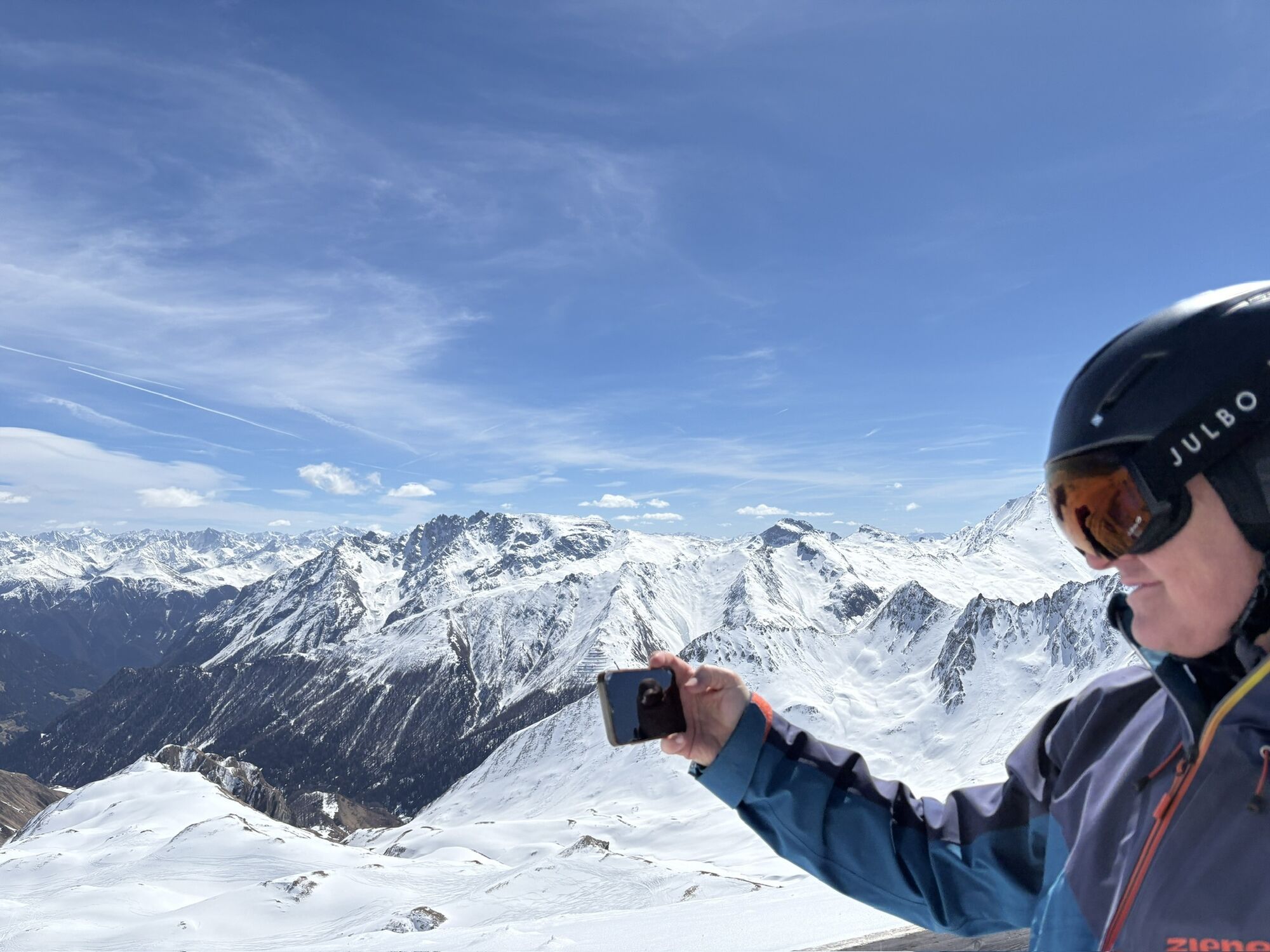
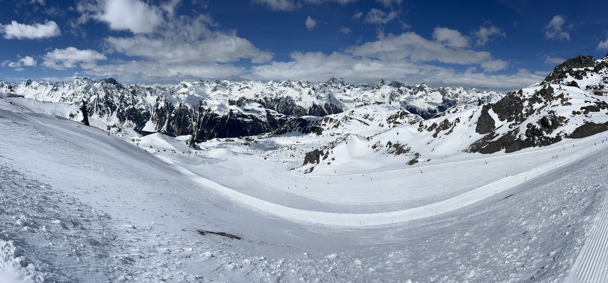
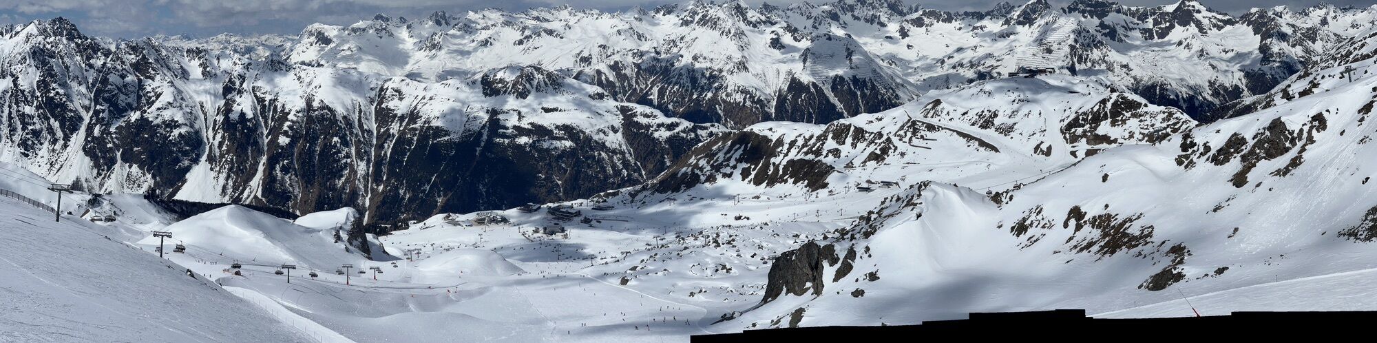
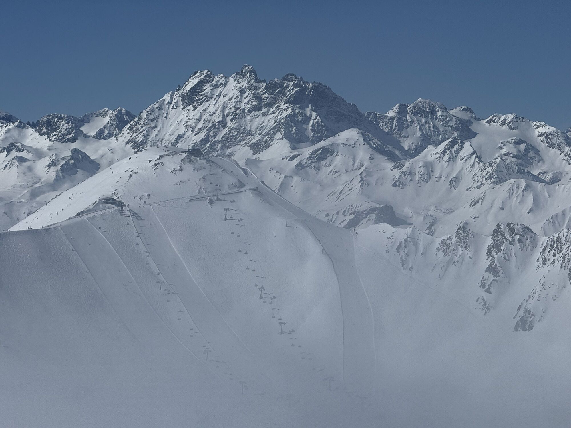
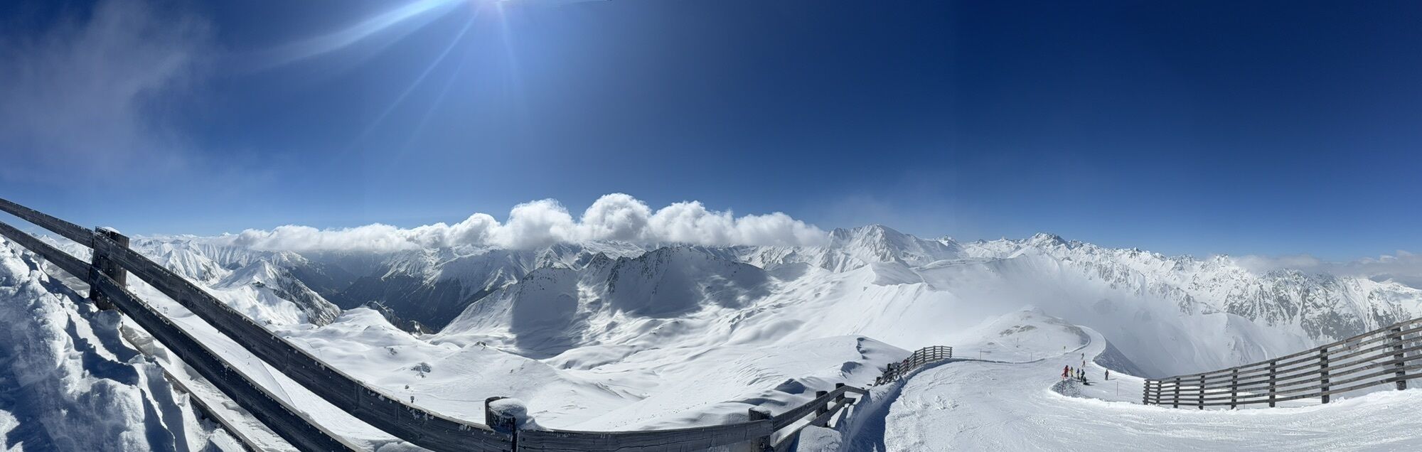
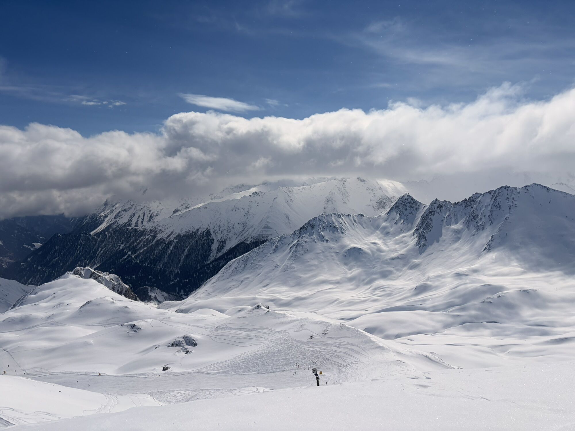
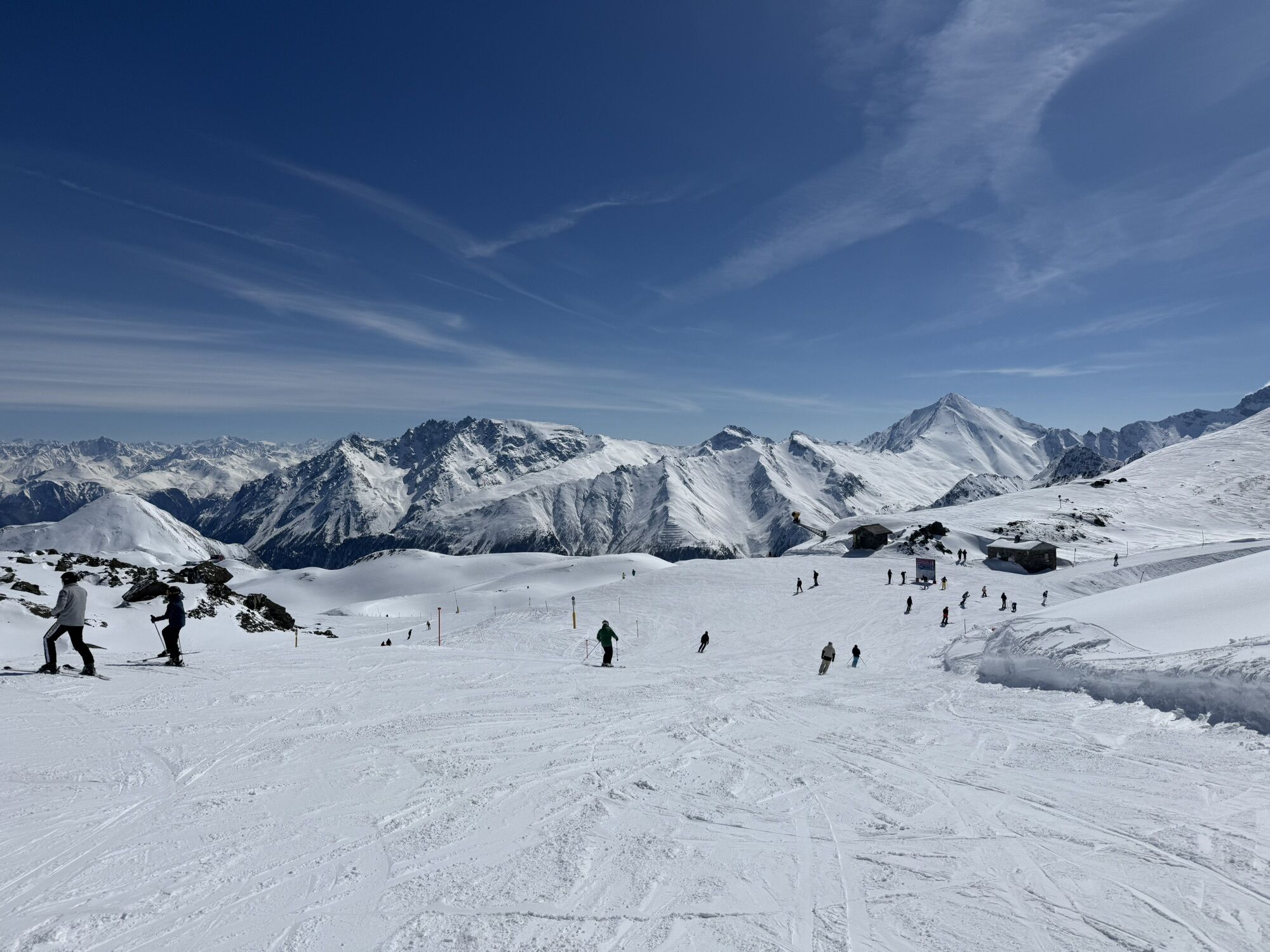


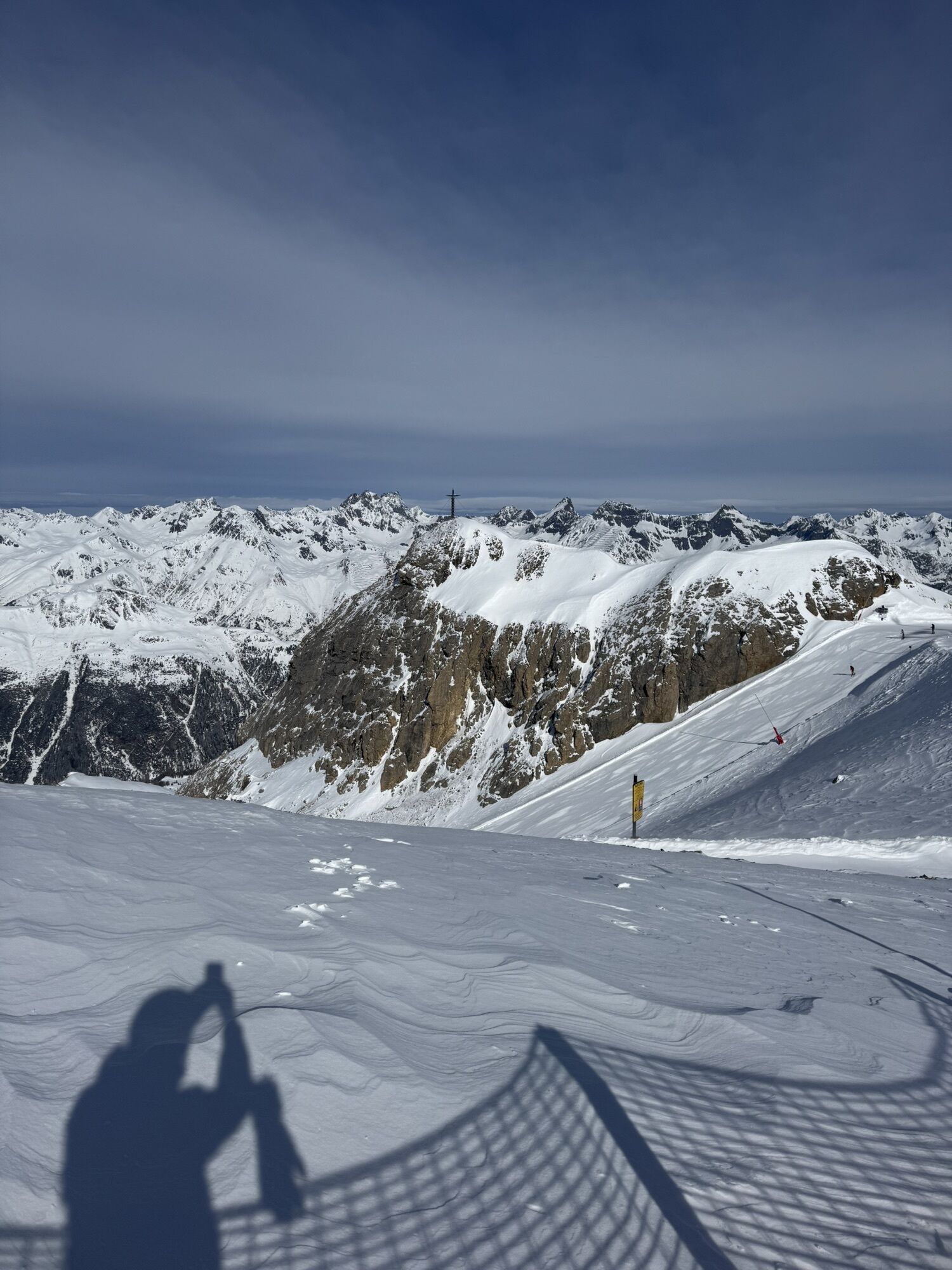
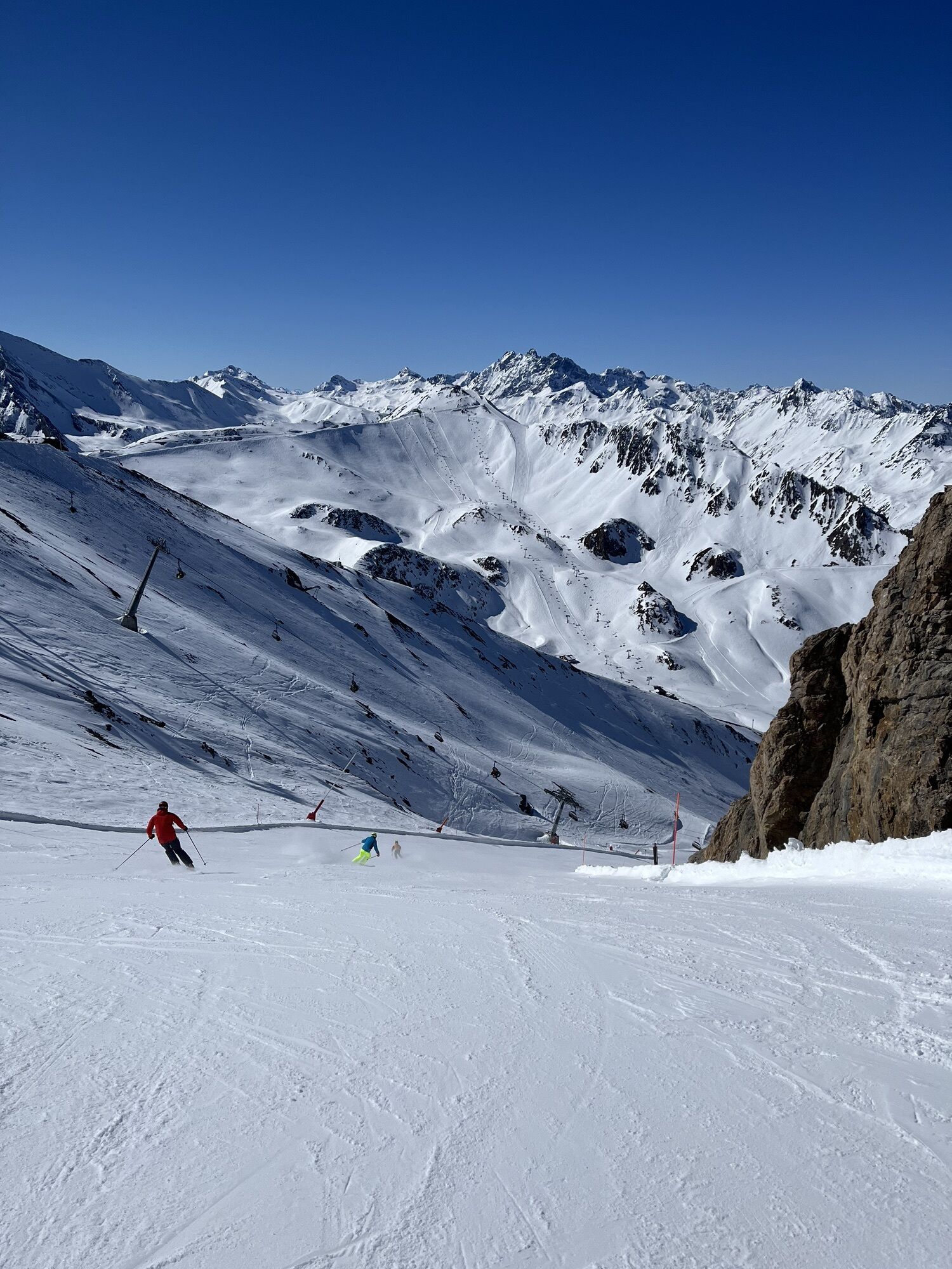
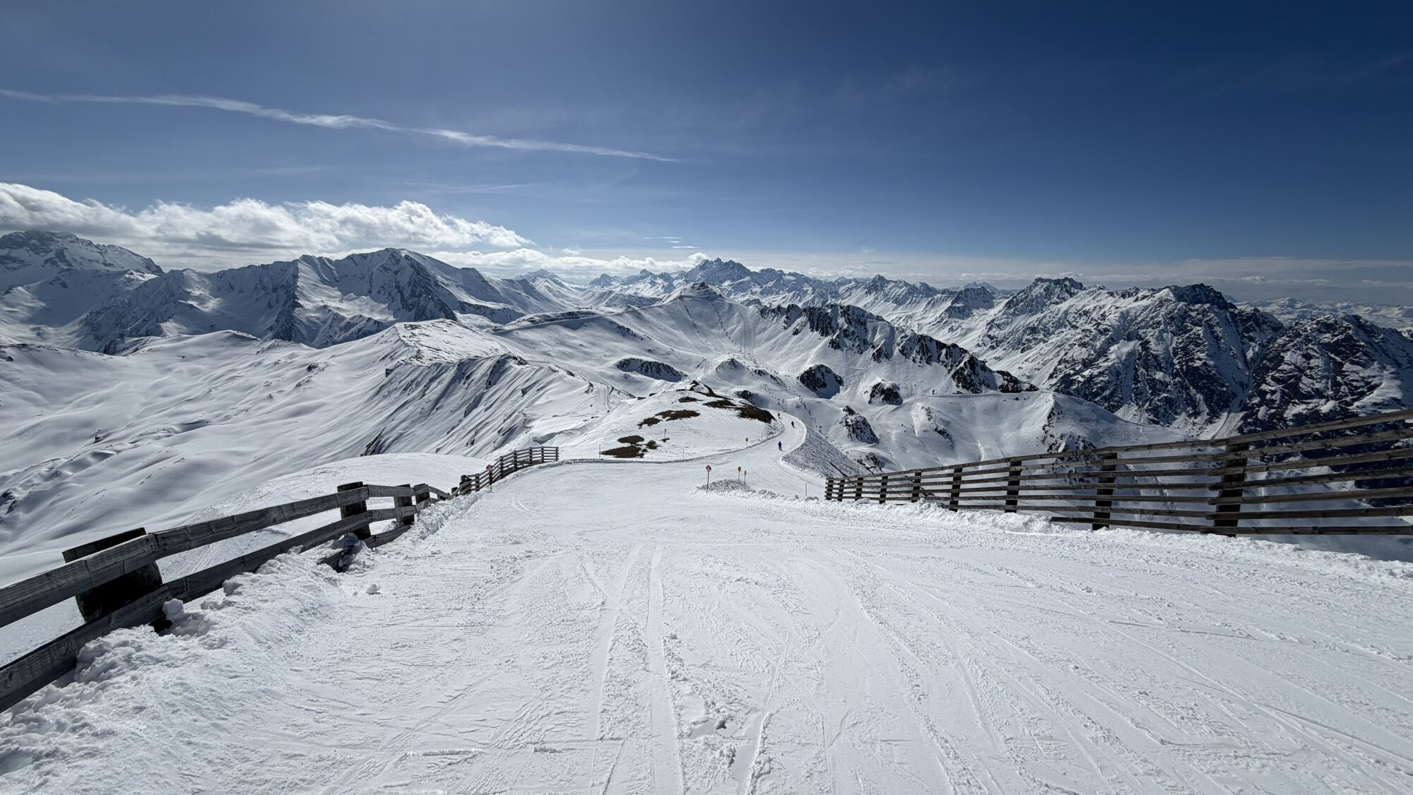
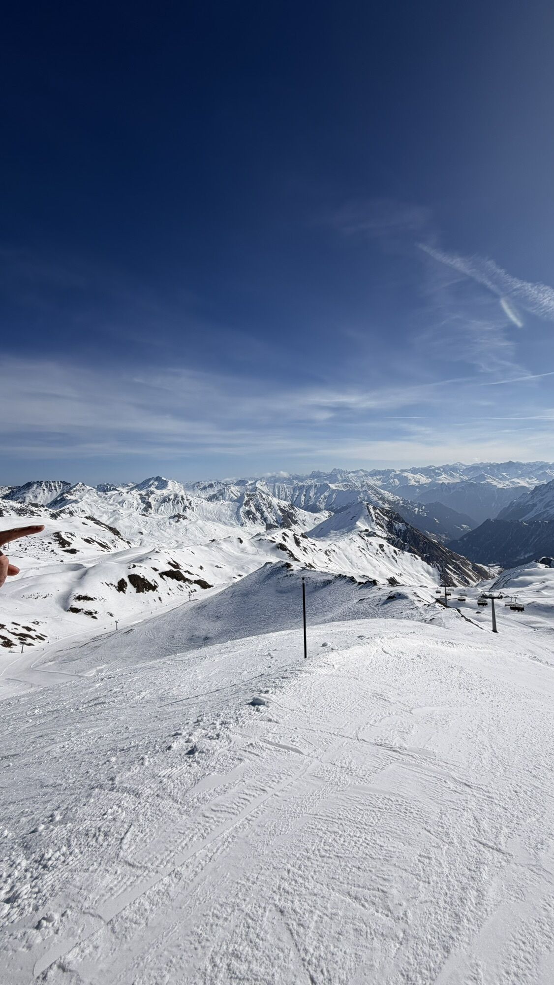


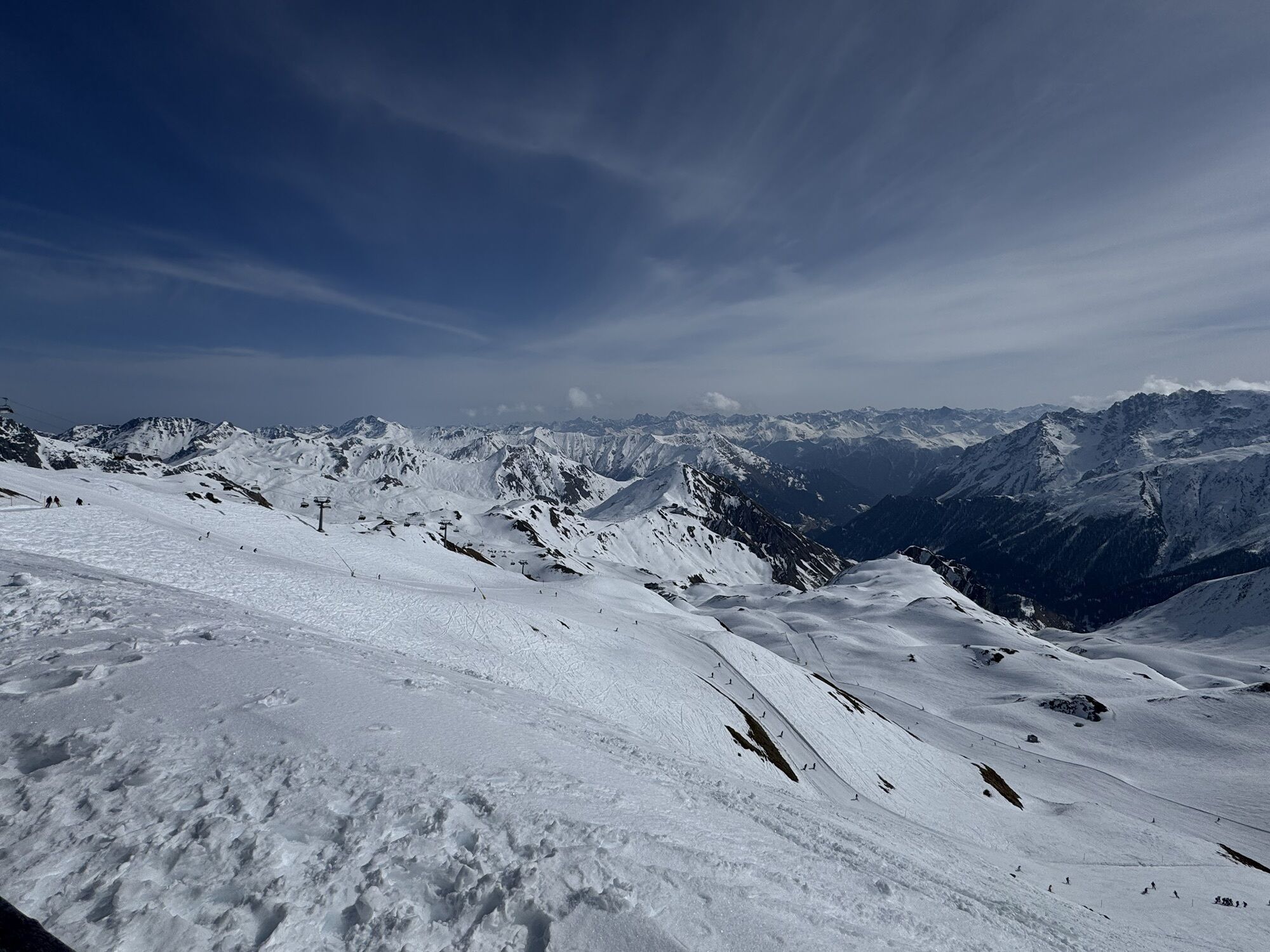
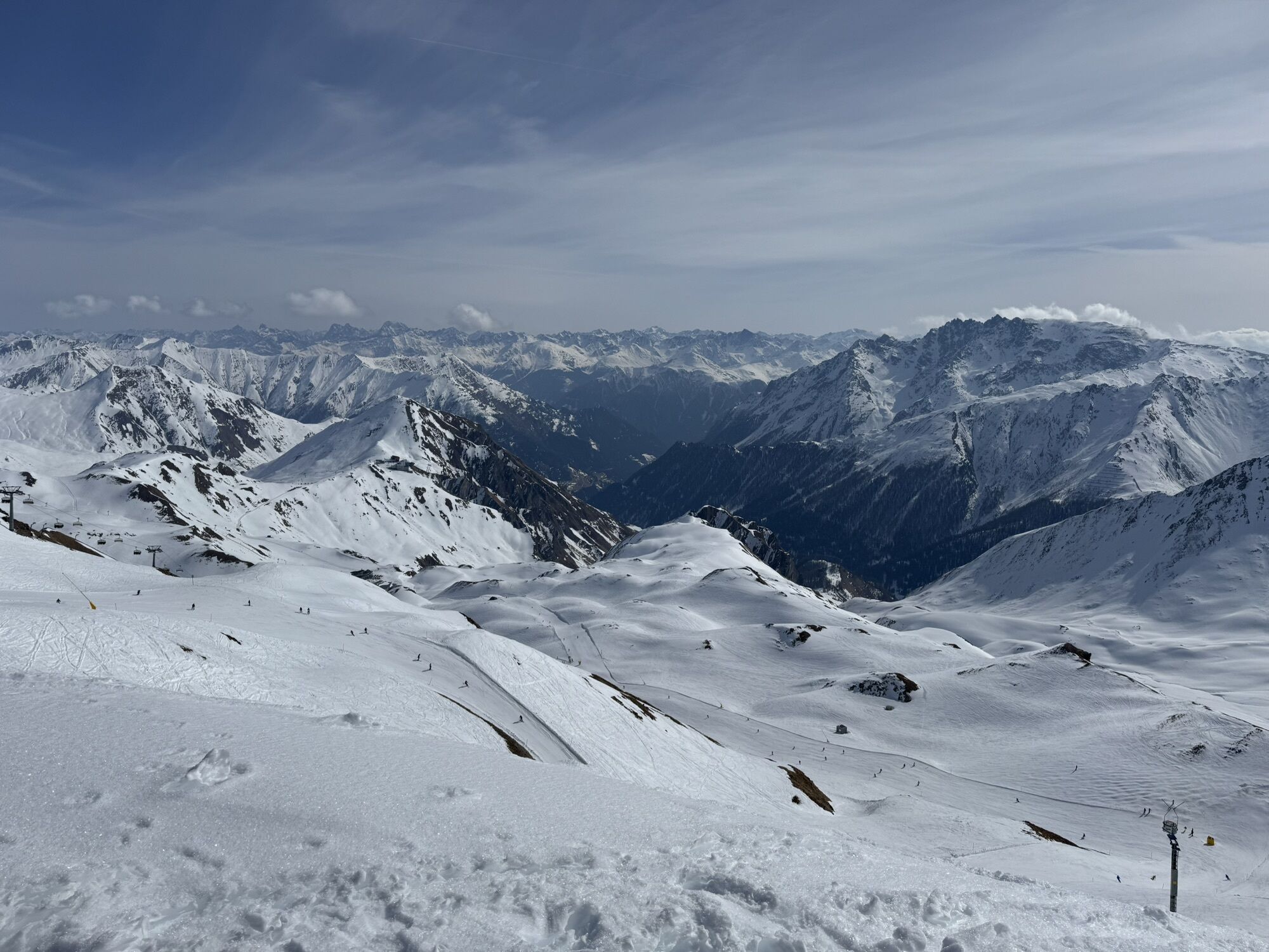
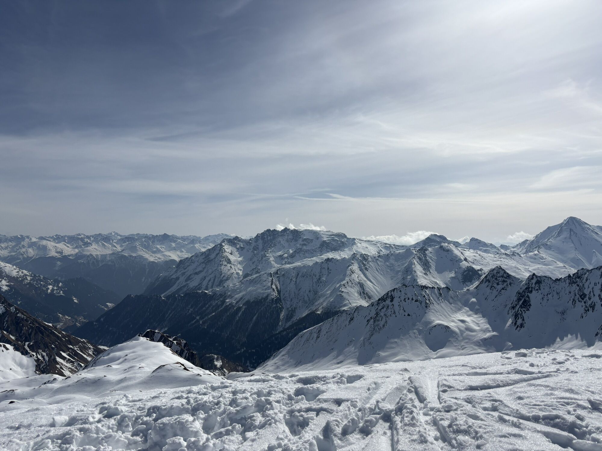
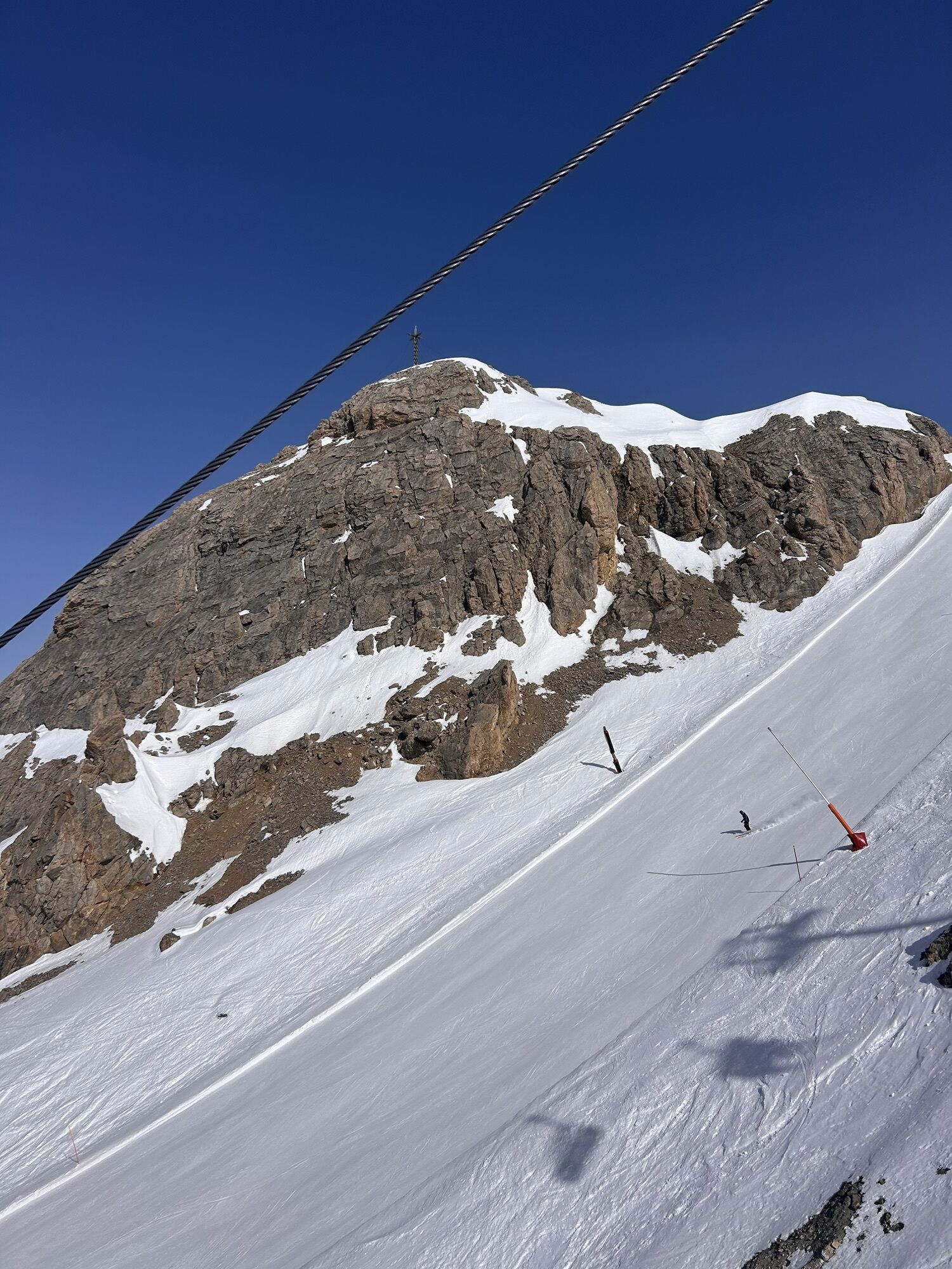
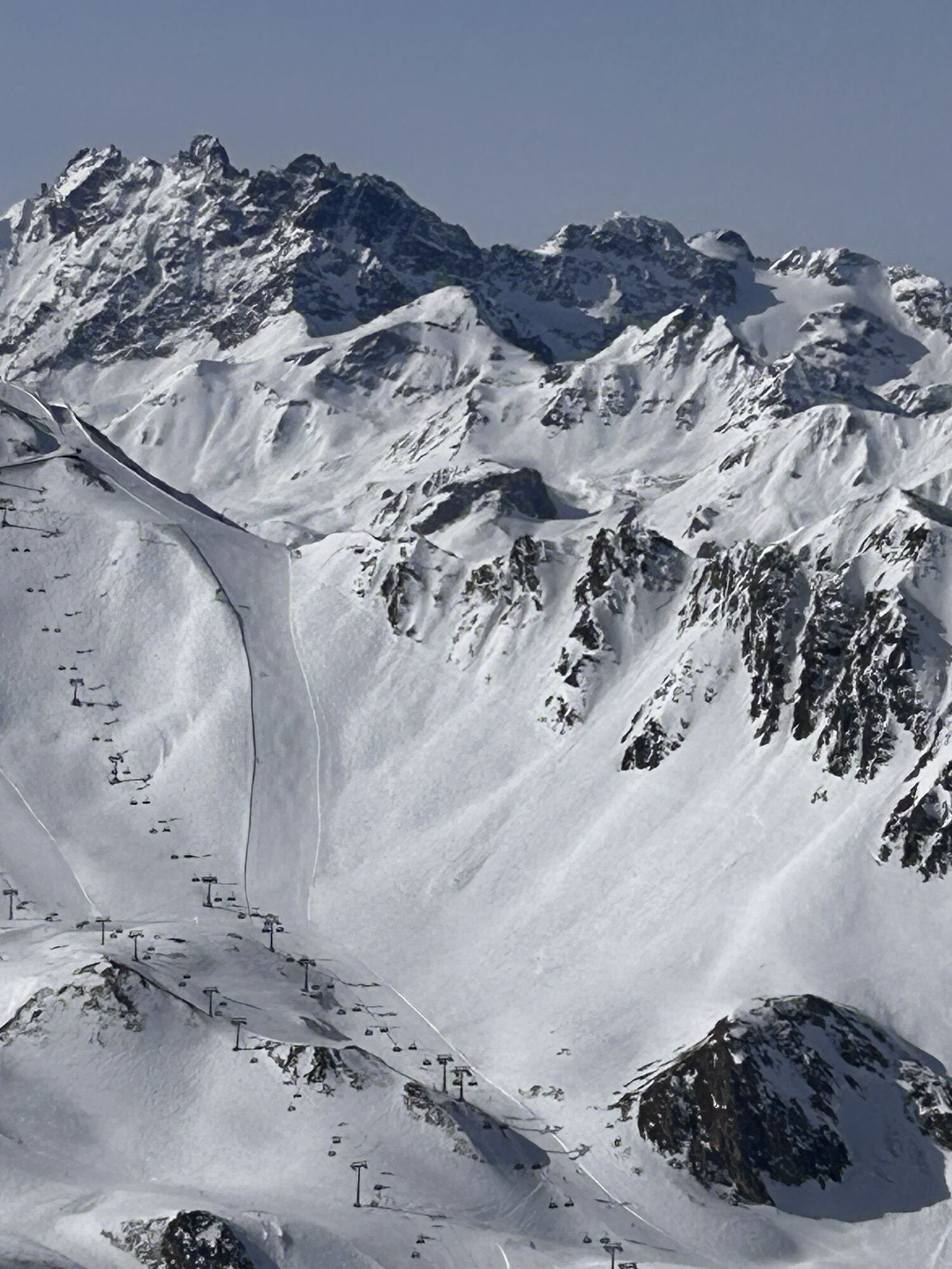
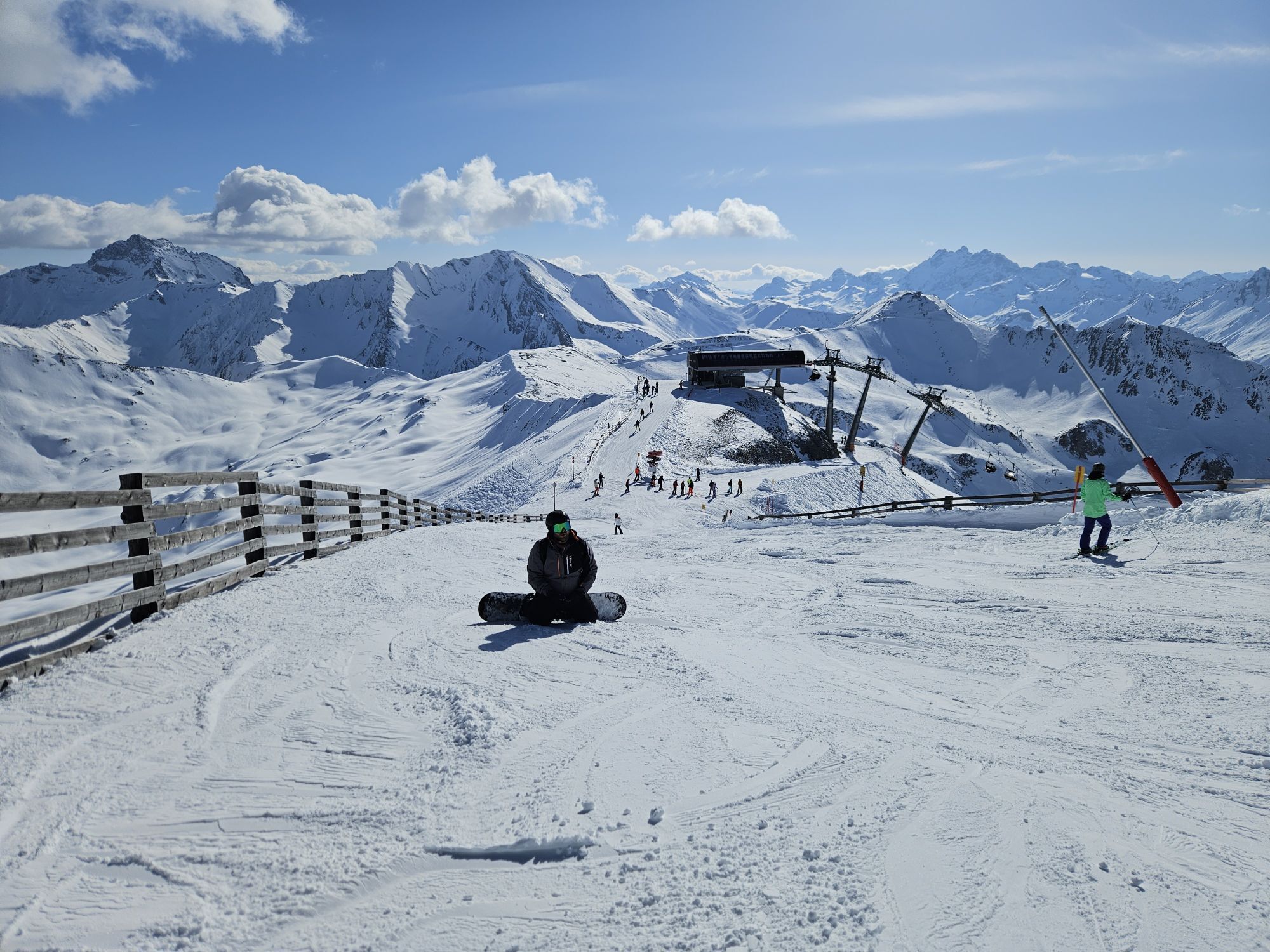

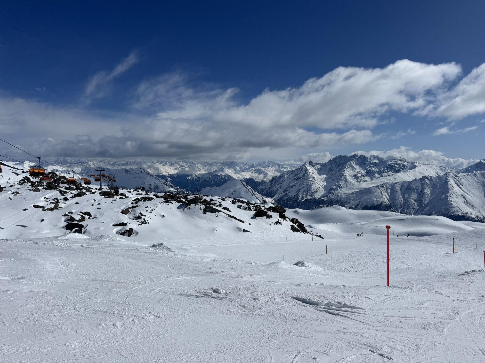


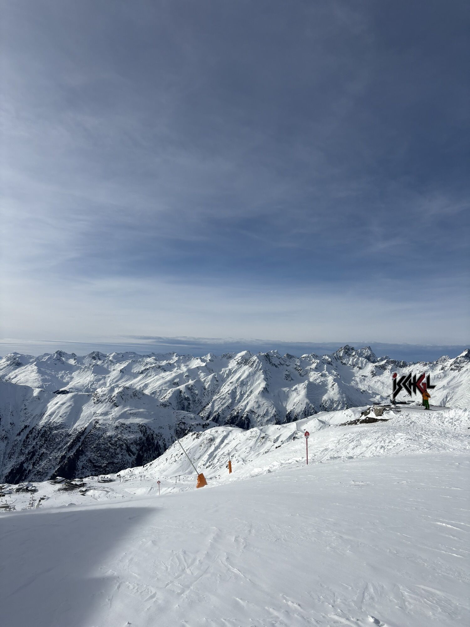

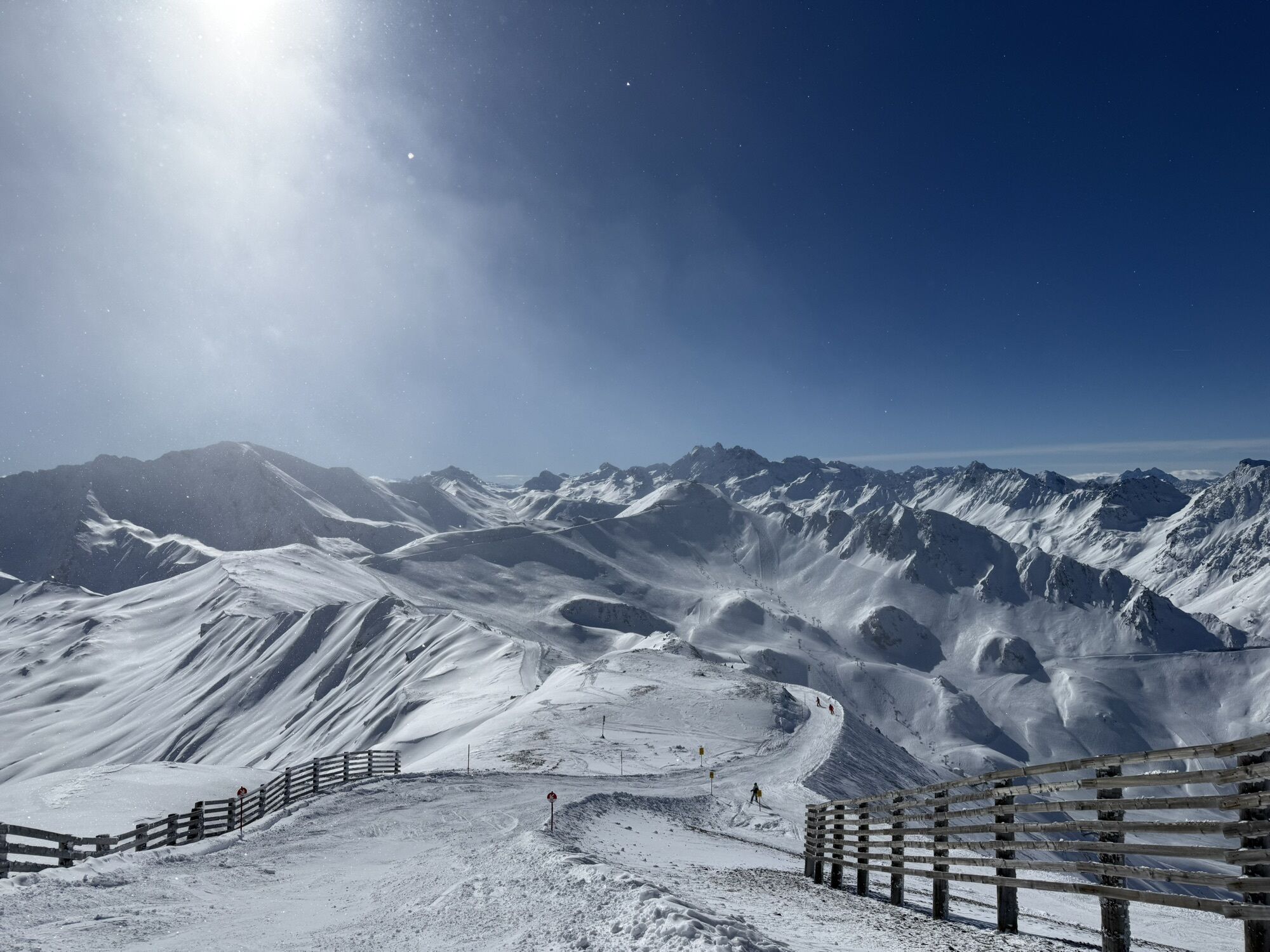
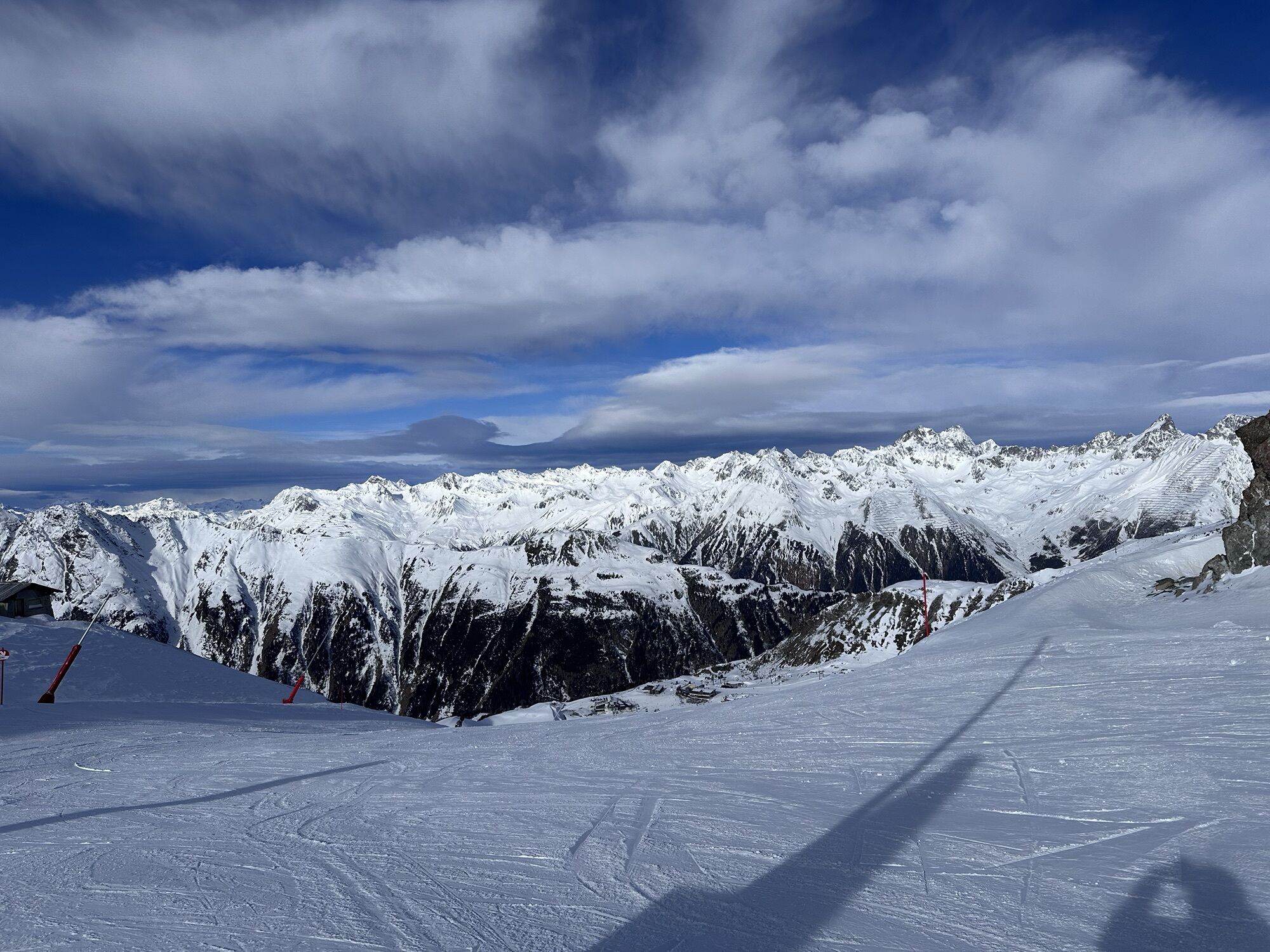


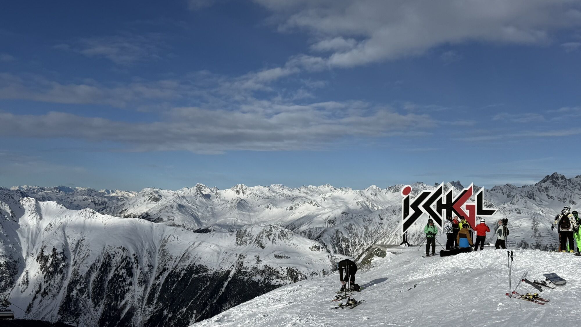

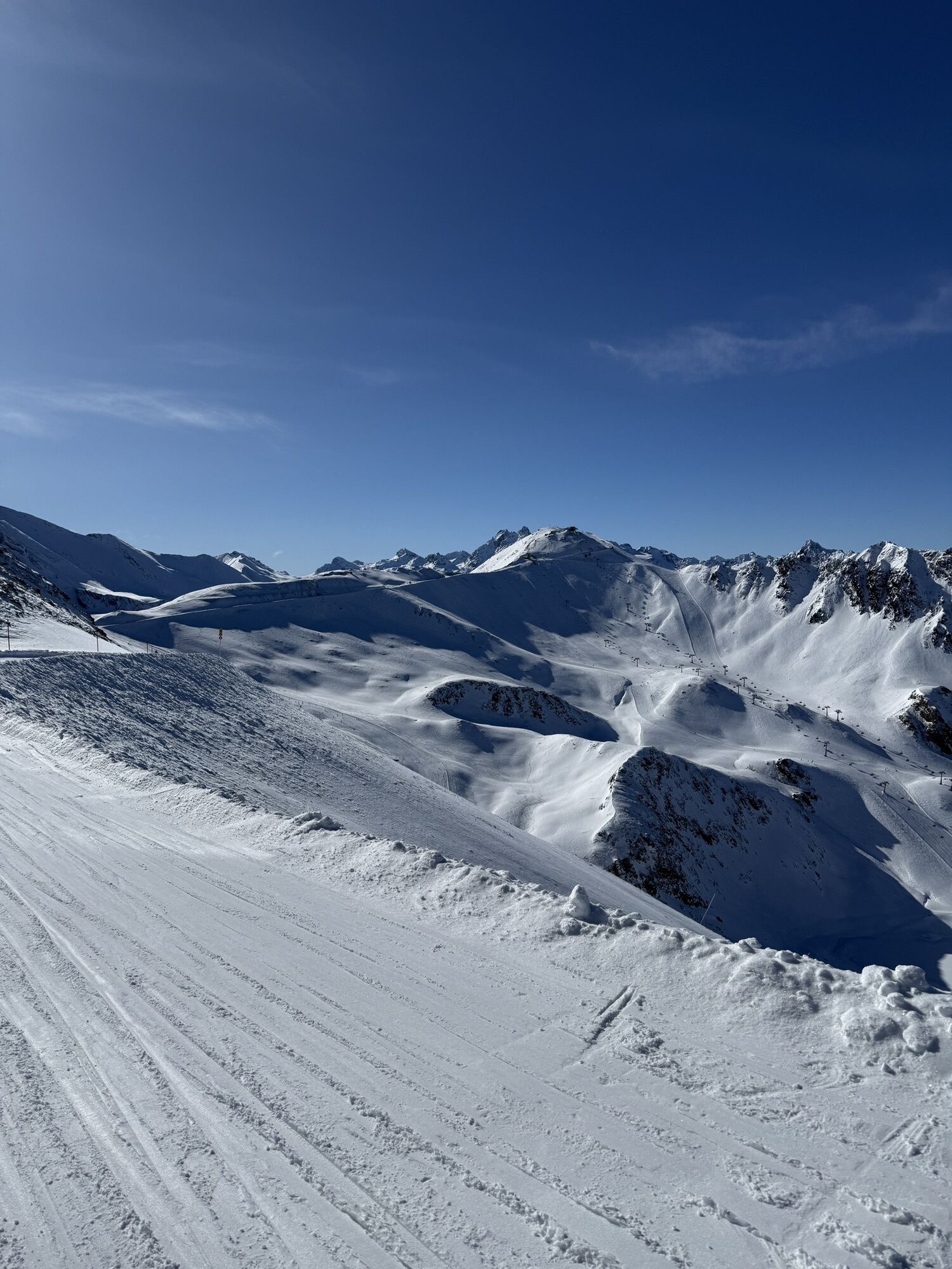
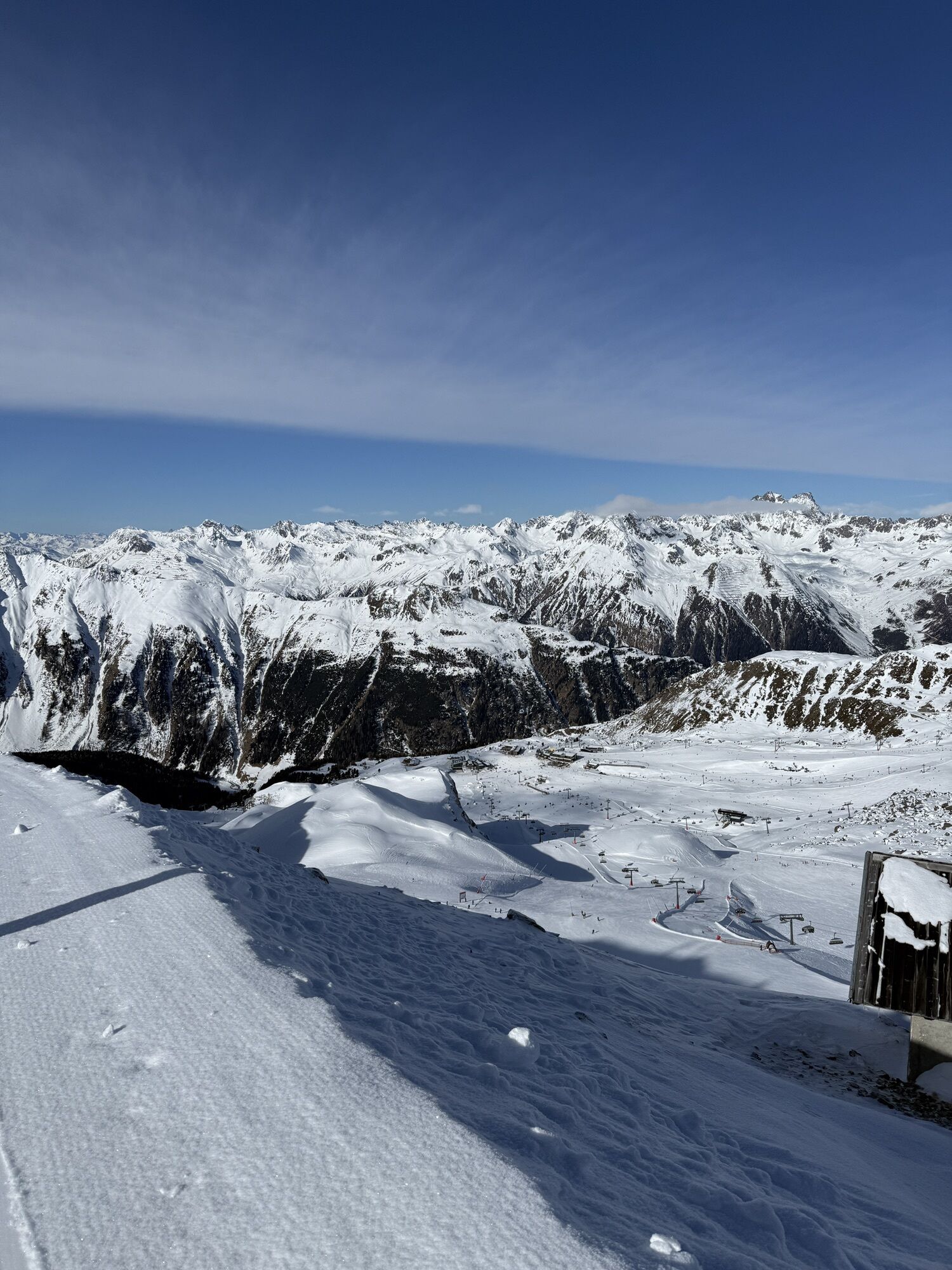
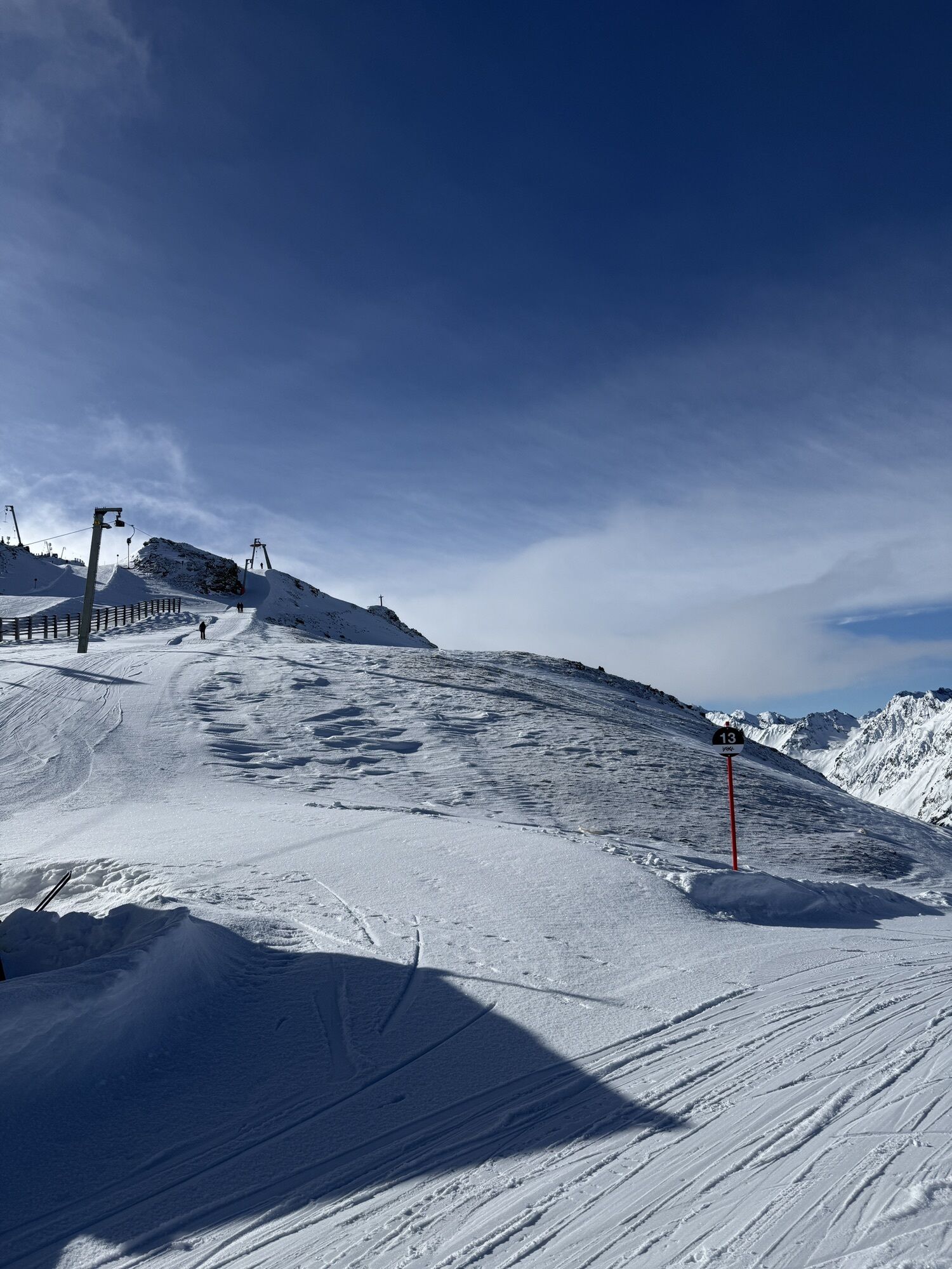
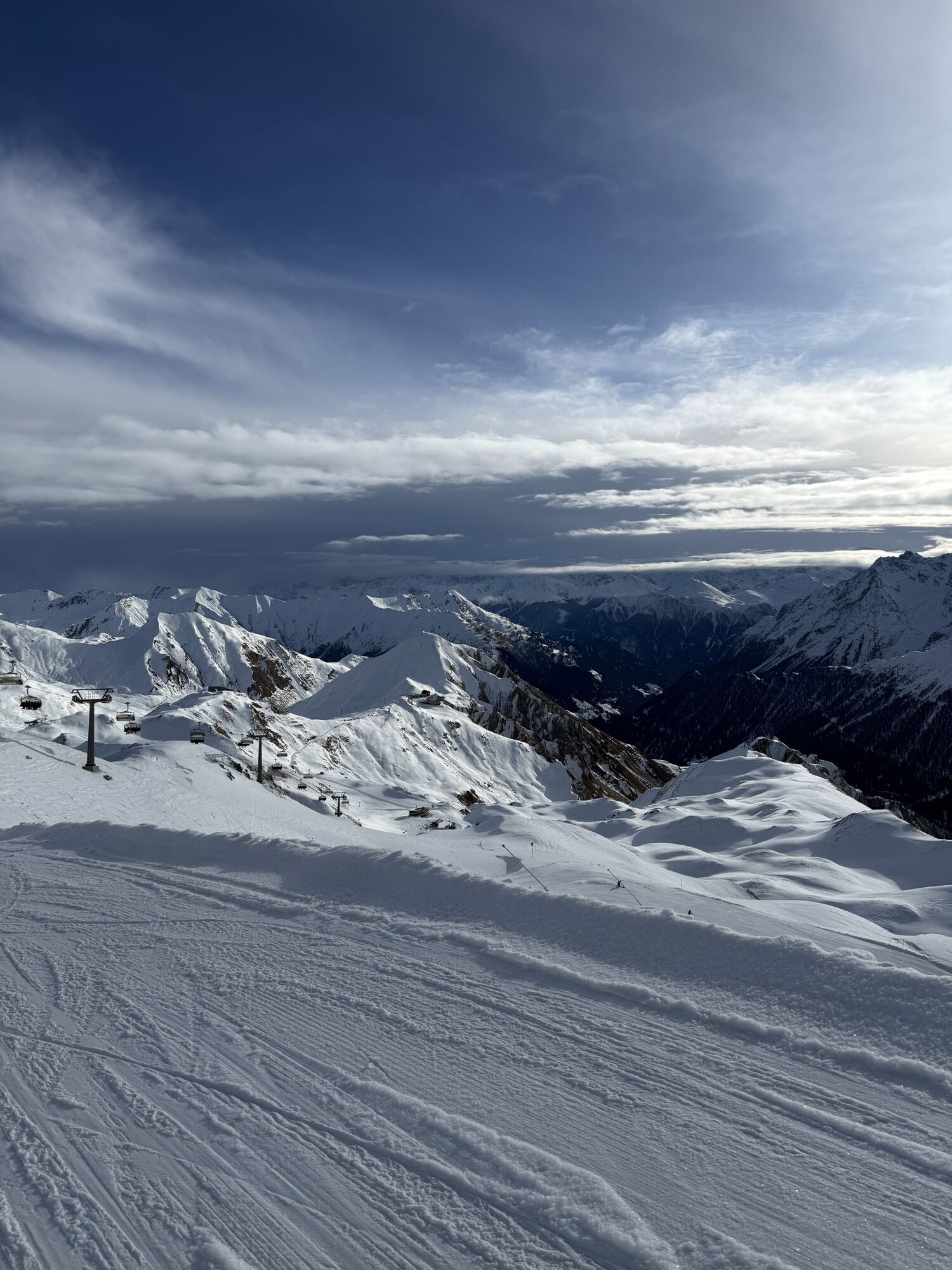
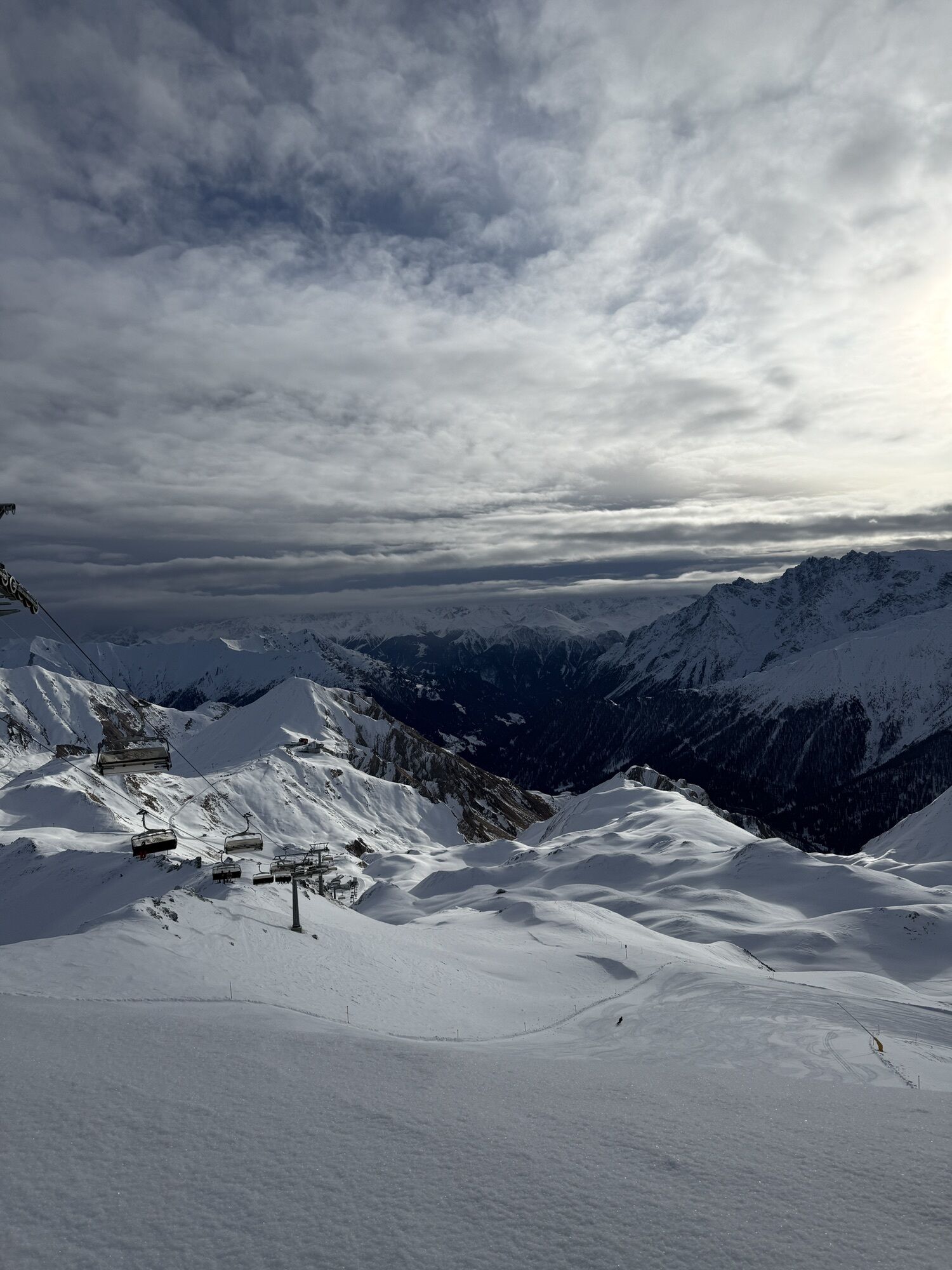
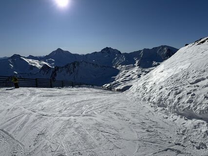
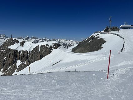
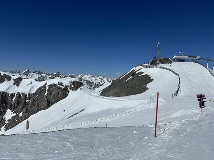
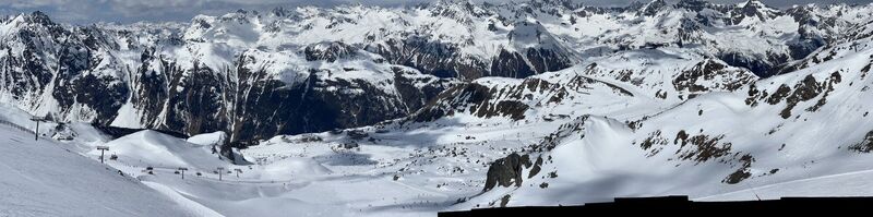
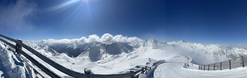
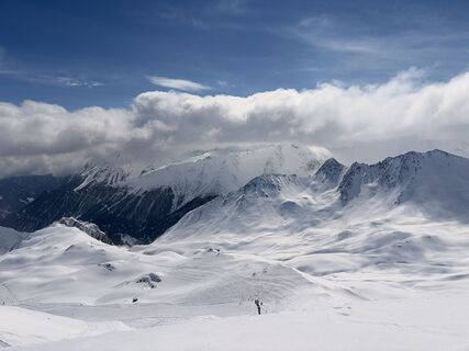
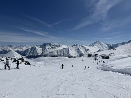
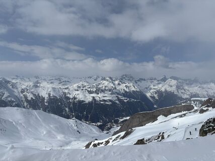
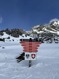
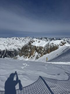
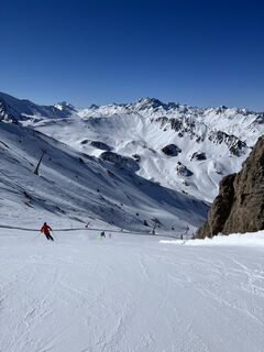
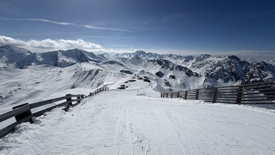
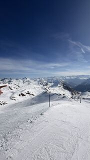
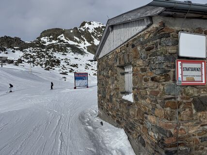
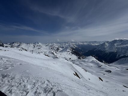
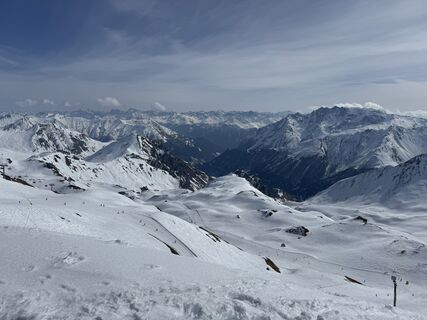
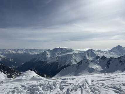
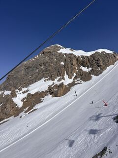
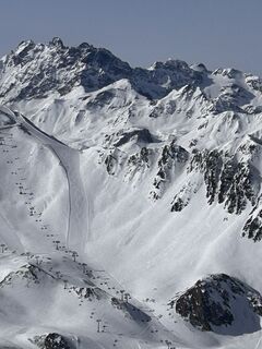
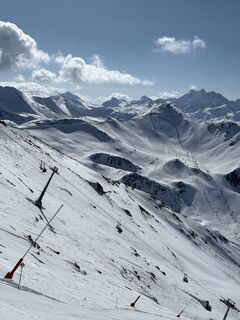
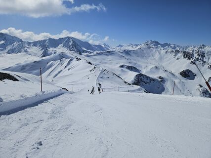
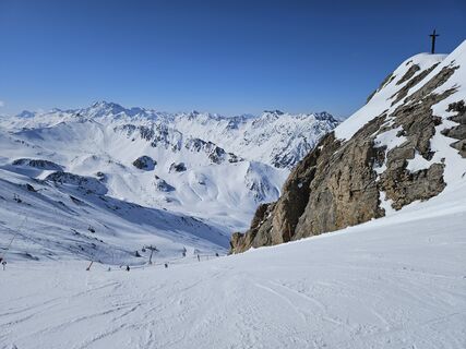
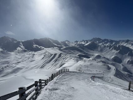
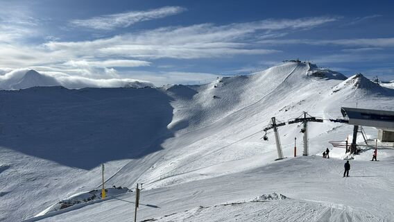
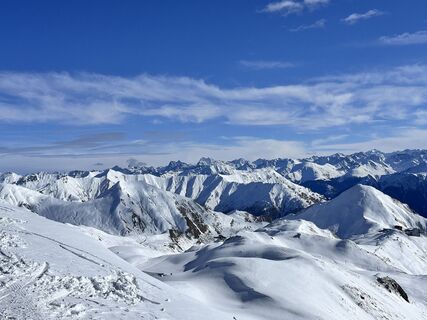
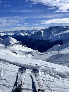
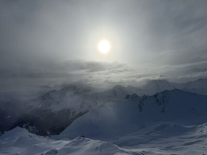
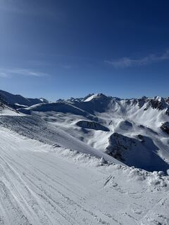
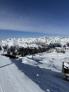
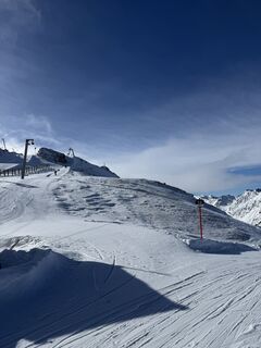
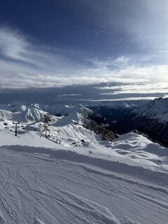
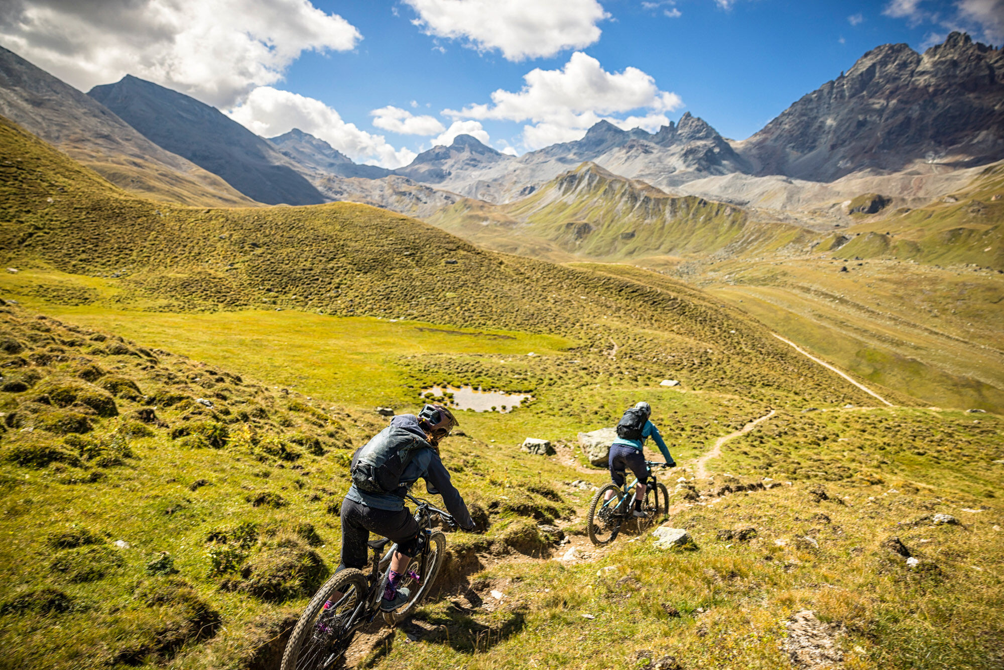
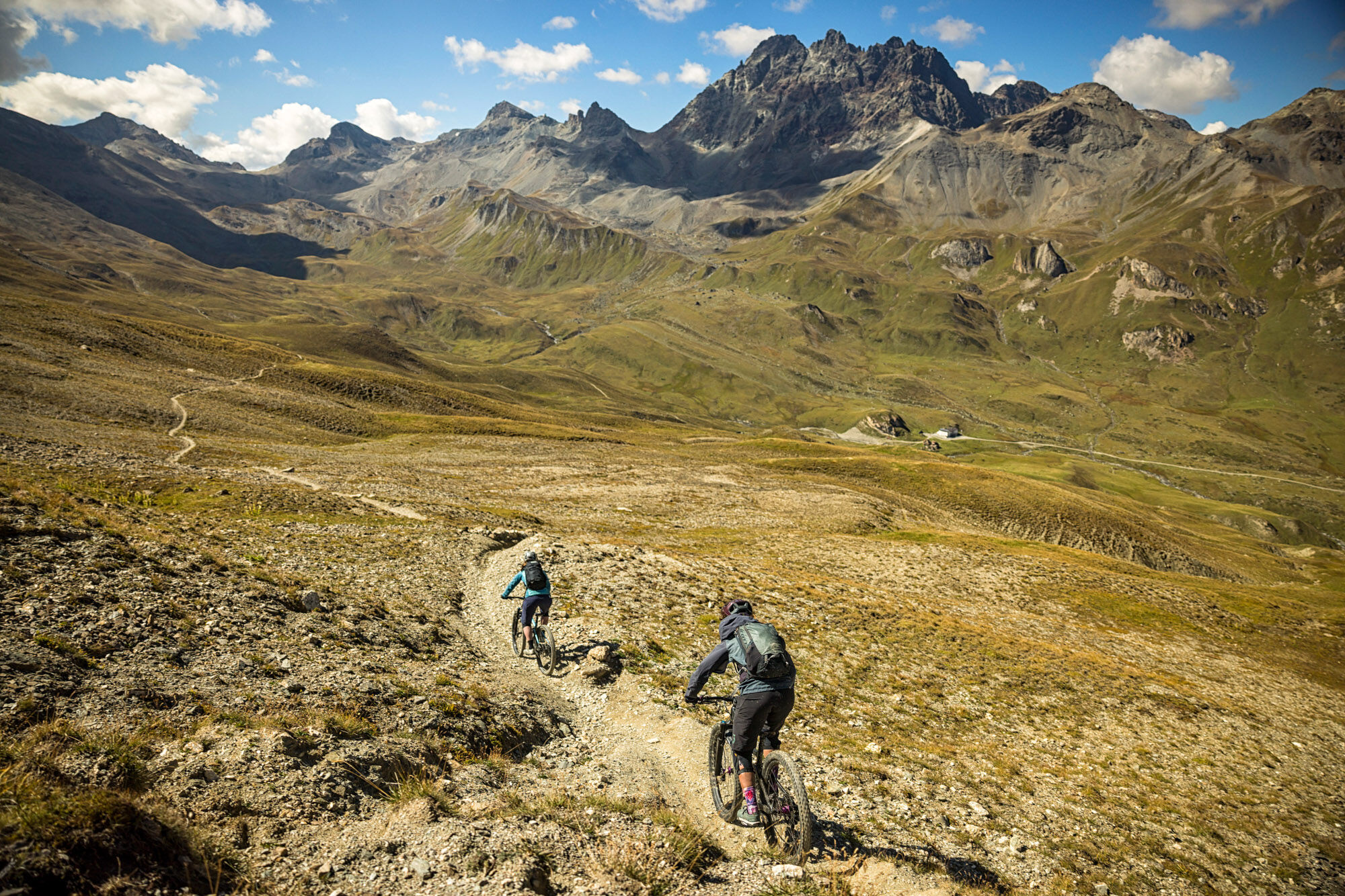
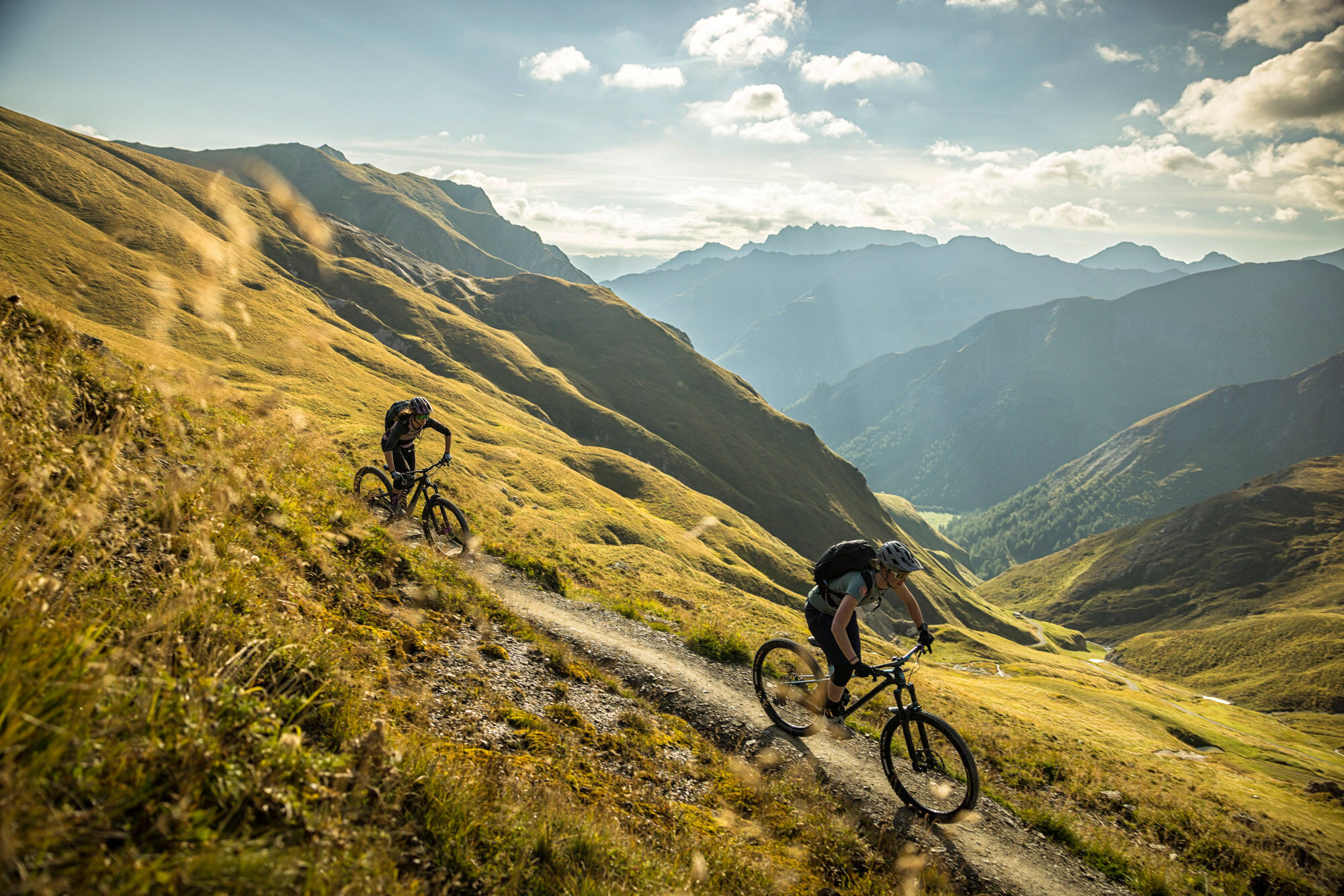
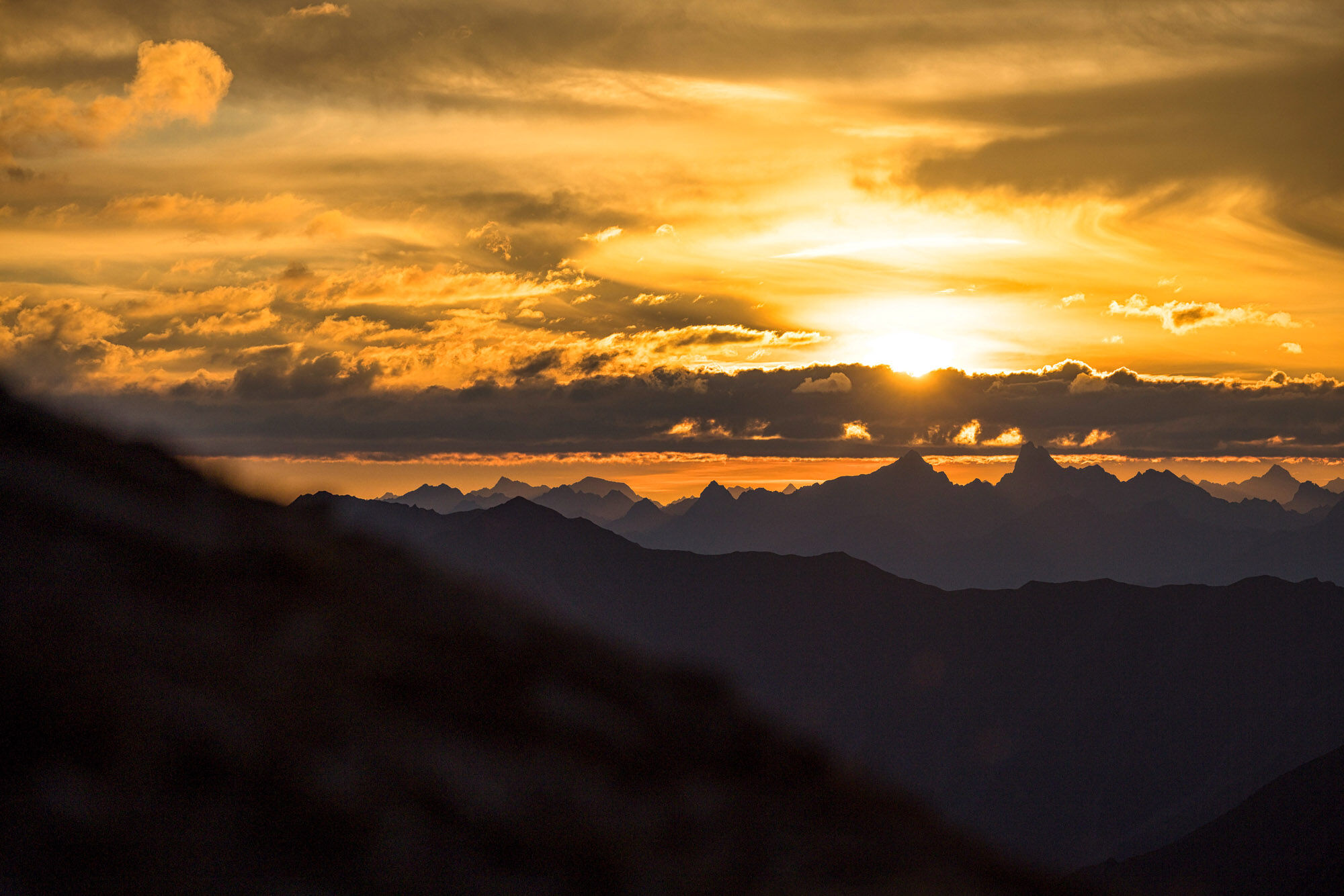
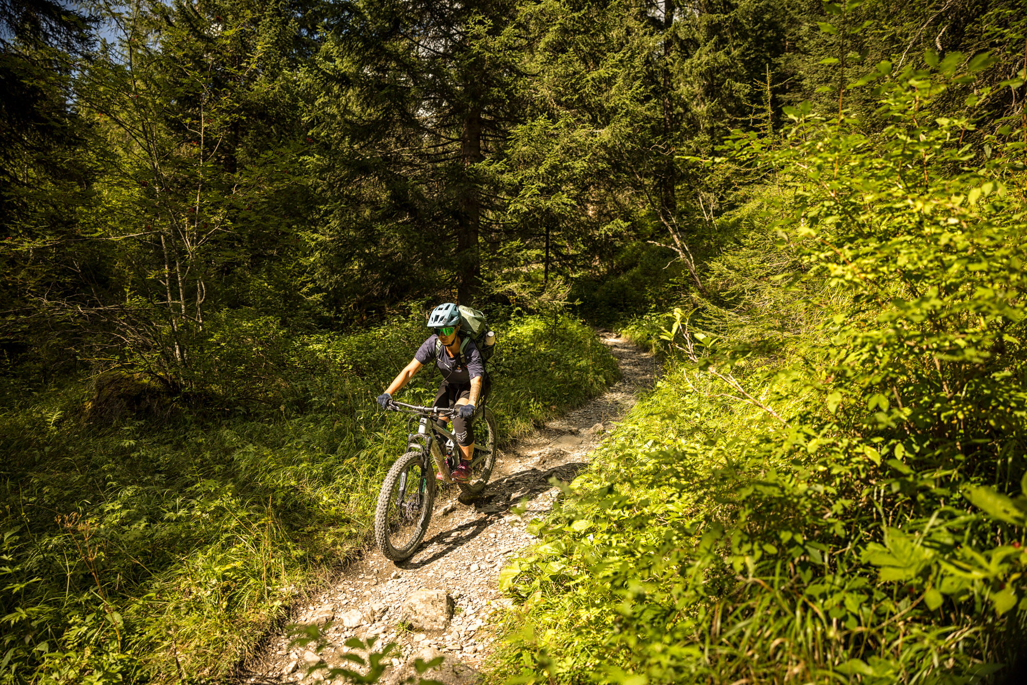
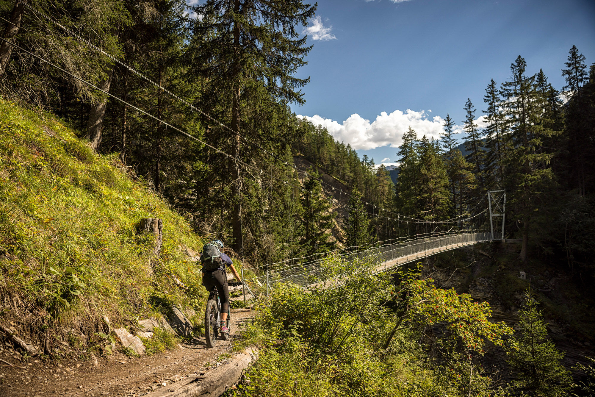
Rocky, alpine and characterized by a brilliant wide view over the mountain world, this route stands out. Pure alpine trails indeed! The first 360° panorama awaits at Greitspitz after the first steeper...
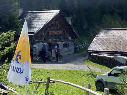
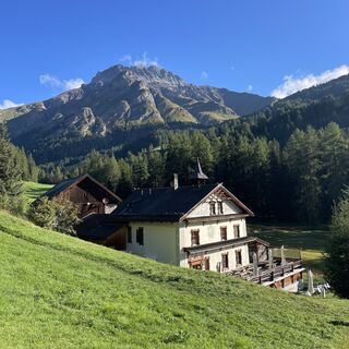
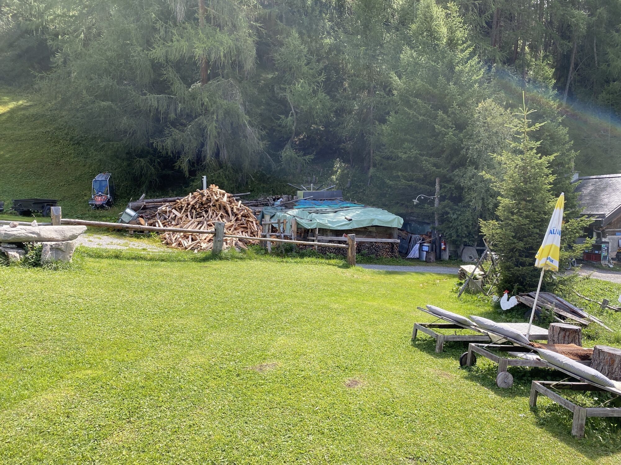
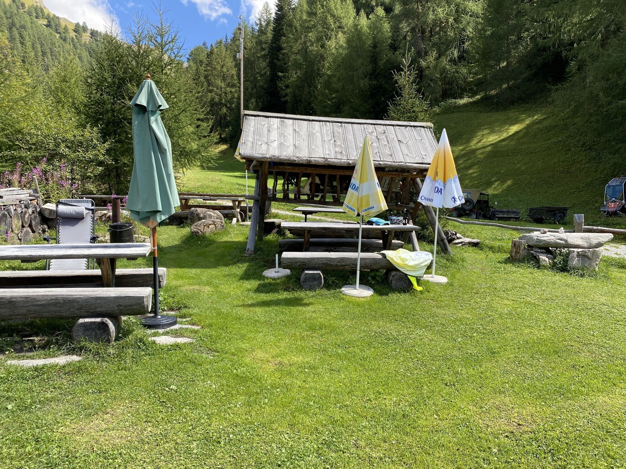
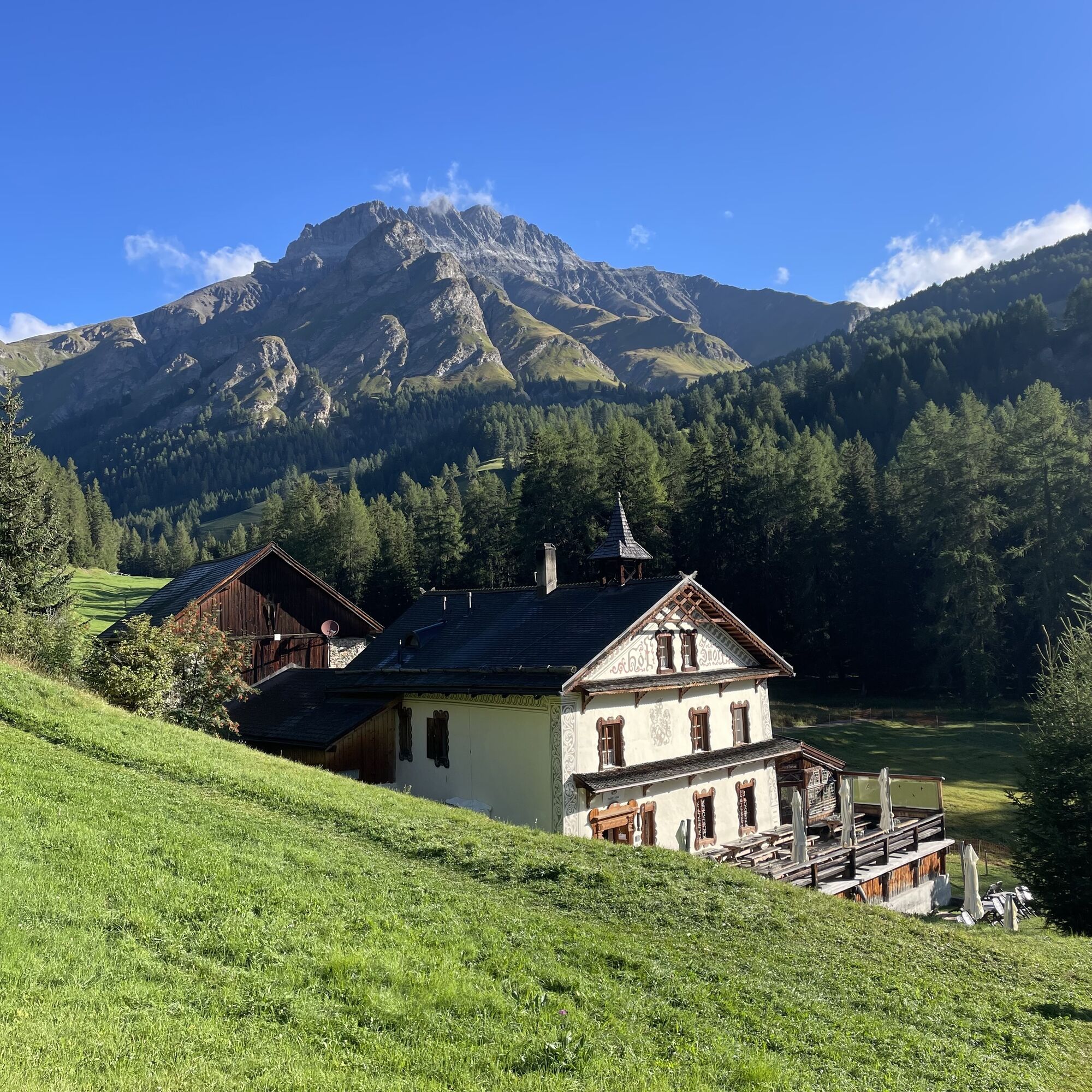
Rocky, alpine and characterized by a brilliant wide view over the mountain world, this route stands out. Pure alpine trails indeed! The first 360° panorama awaits at Greitspitz after the first steeper ascent. Then it goes along the Schmuggler Trail over the ridge to Salaaser Kopf, where a flow trail leads towards Zeblas Joch. Here starts a passage along the scree of the mountain flank of "Piz Rots" with a carrying section to Fuorcla Val Gronda next. Once on the ridge height, you stand exactly on the Swiss-Austrian border. The efforts are rewarded with a flowing descent of category S3 and a brilliant view of the alpine nature. A partially blocked trail follows downhill towards Heidelberger Hut, but before reaching the hut, the trail turns left towards Fuorcla Val Fenga – the Fimber Pass. With one last carrying section, you earn the approximately 6 km trail descent to the hamlet of Griosch. The almost 800 meters of elevation difference are clear on this section – what is still rocky and alpine in character at the top slowly but surely becomes green mountain idyll again. The last singletrail sections of the day lead via Hof Zuort and Val Sinestra to Sent/Scuol.

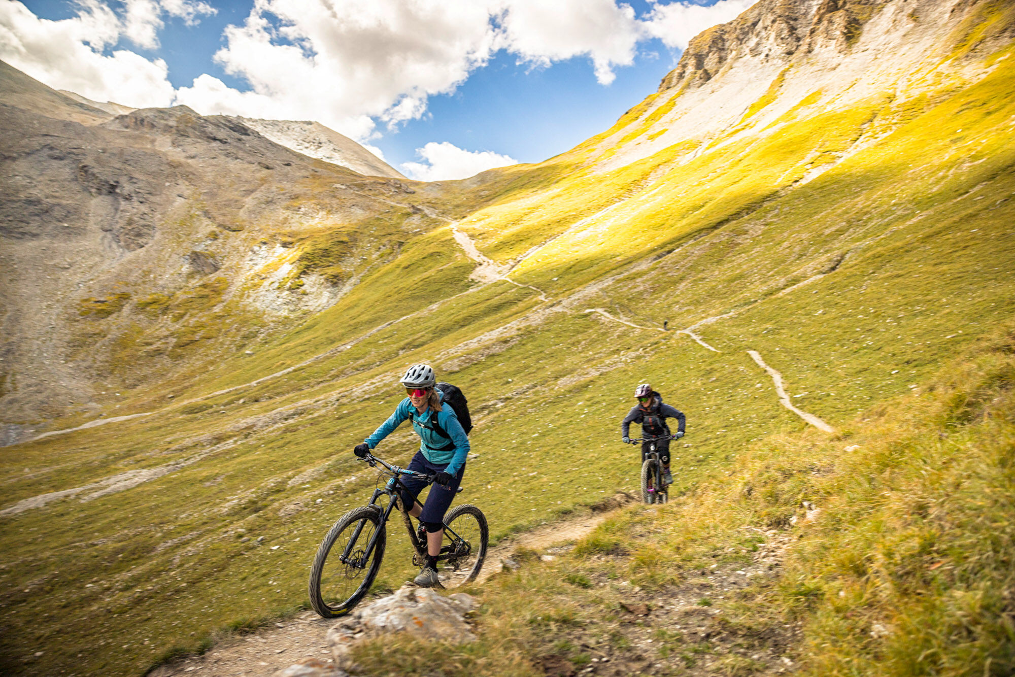
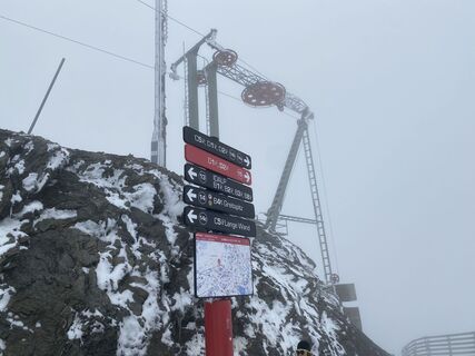
Flimsattelbahn mountain station – Greitspitz – Salaaser Kopf – Seblasjoch – Val Gronda – Fimber Pass – Griosch – Hof Zuort – Sent
Helmet, gloves, good footwear, glasses, rain and sun protection, water bottle, repair kit, first aid kit
The route was rated under favorable weather conditions; current weather conditions and forecasts must be observed before starting the route.
Emergency numbers:
144 Emergency, first aid
1414 Mountain rescue REGA
112 International emergency number
Please be considerate when crossing and overtaking hikers.
The Graubünden mountain bike routes mostly run on singletrails that are also marked as hiking trails. Hikers have the right of way.
From the north: via Landquart – Klosters by car shuttle through the Vereina tunnel (Selfranga - Sagliains) or via Flüela Pass into the Lower Engadin on H27, turn left at Vinadi towards Samnaun
From the east: via Landeck / Austria towards Reschen Pass on the B180, from Kajetansbrücke towards Spiss – Samnaun on the L348
From the south: via Reschen Pass to Kajetansbrücke, there towards Spiss – Samnaun on the L348
By the Rhaetian Railway (from Chur, Landquart/Prättigau or the Upper Engadin) hourly to Scuol-Tarasp station
Continue by PostBus to Samnaun-Ravaisch valley station of the cable cars
In Samnaun, hourly service during the day with the Samnaun bus
Free public parking at the valley station of the Samnaun cable cars in Samnaun-Ravaisch
S3
Obľúbené výlety v okolí
-
5,0
Menta Alm - Scheibenalm
svetloTuristika 11,4 km -
4,7
Jamtal lodge
strednáTuristika 19,6 km -
5,0
Alpkogelbahn mountain station - Kops reservoir - Zeinisjoch - Galtür
svetloTuristika 15,7 km -
4,3
Sonnenkogel - Friedrichshafener lodge
strednáTuristika 13,2 km -
5,0
Rundwanderung Berglisee, Mathon
ťažkéTuristika 11,1 km -
Von Galtür zur Jamtalhütte mit Trail
strednáE-MTB 21 km -
5,0
Samnaun Dorf – Muttler
ťažkéTuristika 14,8 km -
4,7
Friedrichshafener Hütte und Panoramablick auf Galtür, Jamtal und Silvretta Hochalpenstrasse
strednáMountainbike 31,1 km -
Suspension Bridge Trail Val Sinestra – Zuort – Griosch – Vnà
strednáTuristika 11,0 km -
3,6
Bergstation Silvretta nach Patznauener Taja
svetloTuristika 11,6 km
Turistika a stopovanie


Nenechajte si ujsť ponuky a inšpiráciu na ďalšiu dovolenku
Vaša e-mailová adresa bol pridaný do poštového zoznamu.