






Piz Mundaun - Ilanz via Undermatt
Úroveň náročnosti: S3
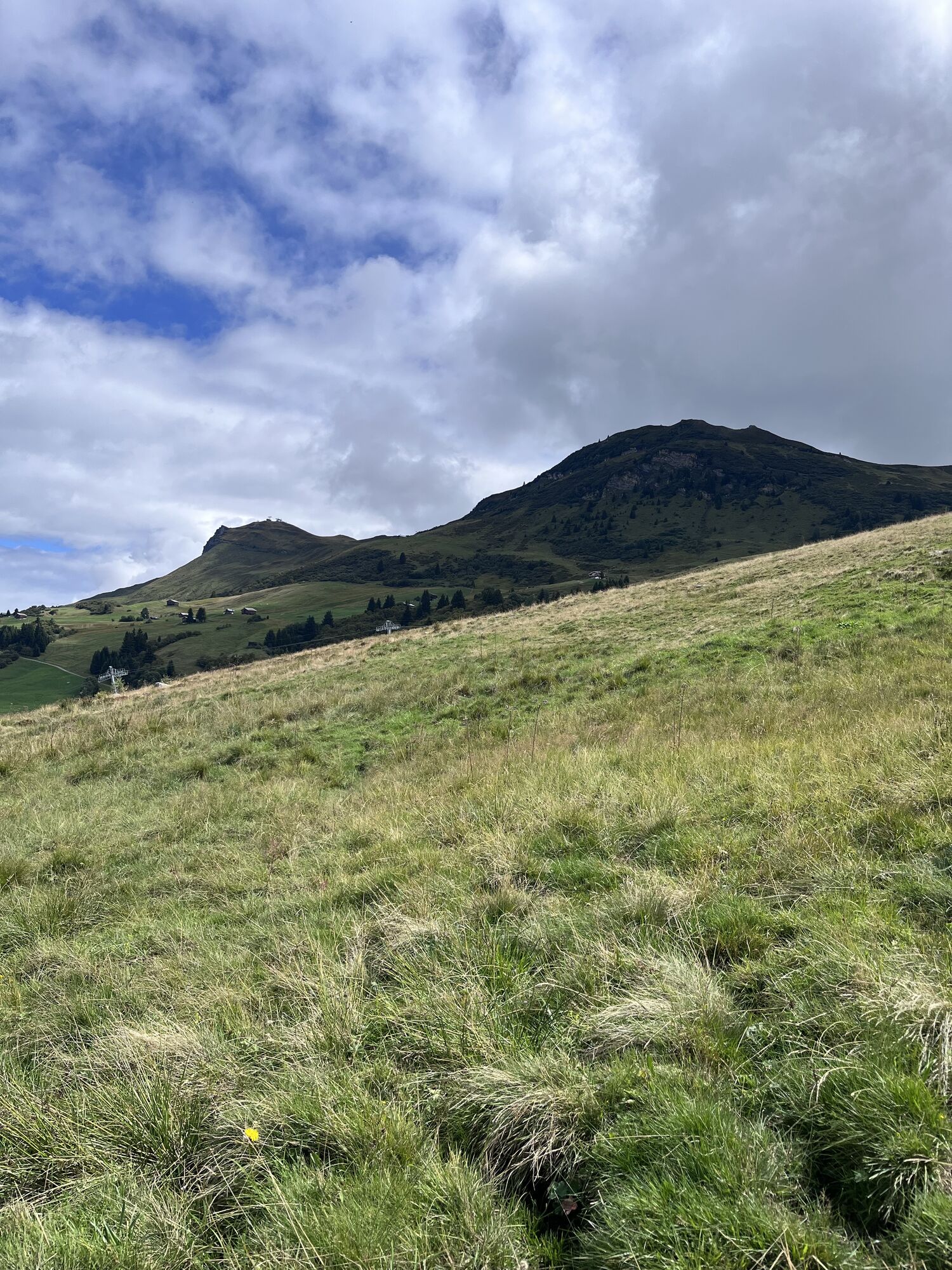
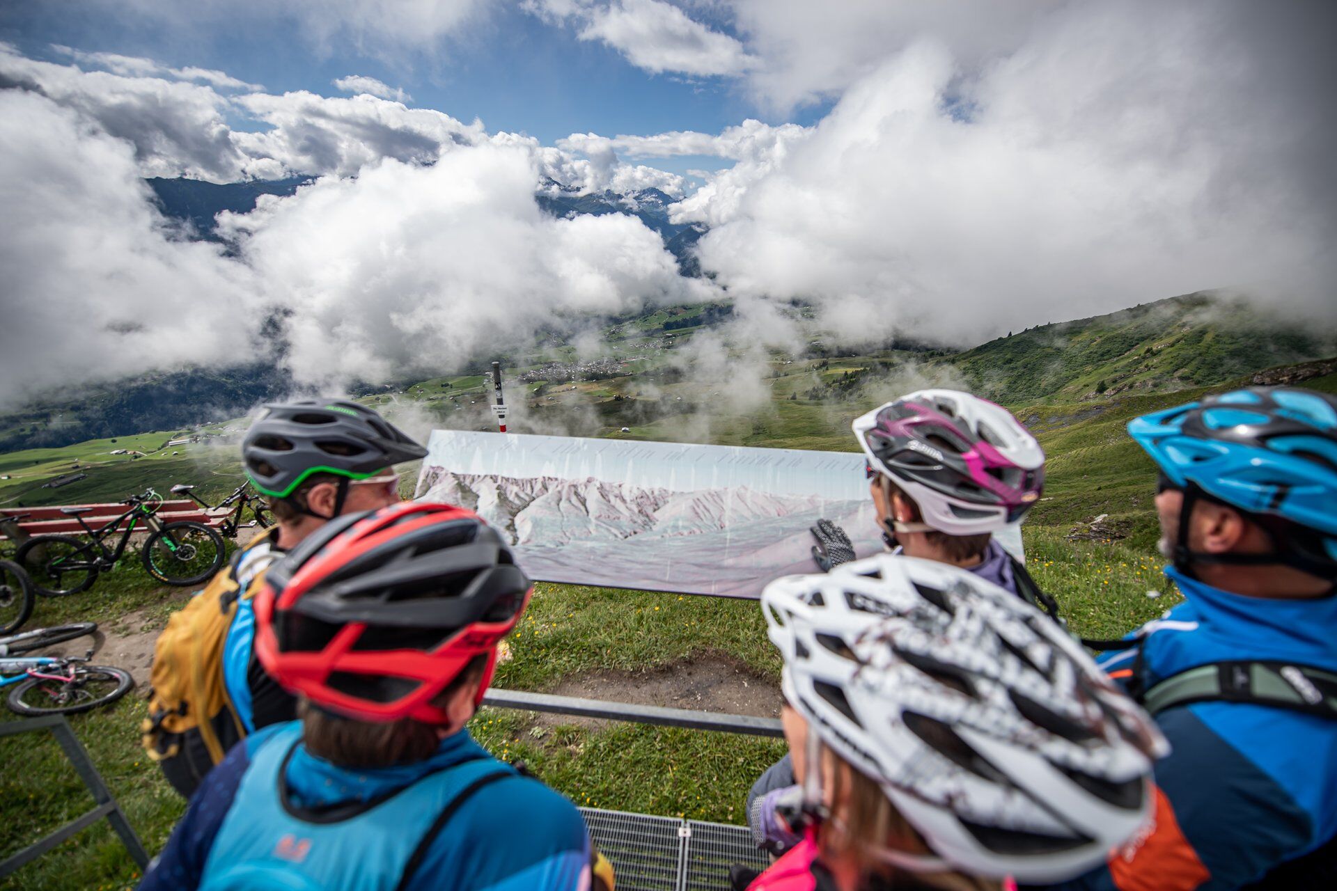
The view is remarkable considering that Piz Mundaun is just 2064 meters high, from the summit you can see down to 699 meters at Ilanz station. This variant via Undermatt offers a solid 1500 meters of descent...
The view is remarkable considering that Piz Mundaun is just 2064 meters high, from the summit you can see down to 699 meters at Ilanz station. This variant via Undermatt offers a solid 1500 meters of descent - and with an even higher proportion of single trails.
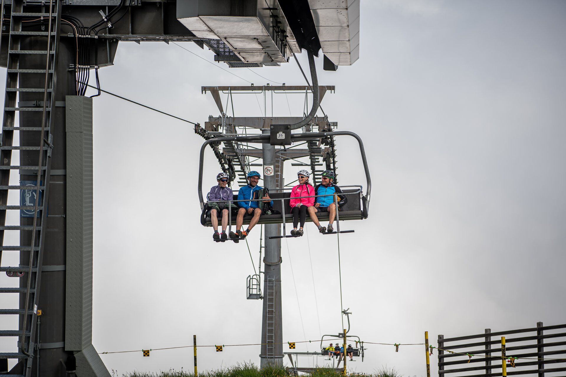
The ascent is done by PostBus from Ilanz to Surcuolm and then by train from Cuolm Sura to Piz Mundaun. Only about 300 meters of elevation must be climbed under your own power, from Surcuolm to Cuolm Sura and a short stretch from Flond.
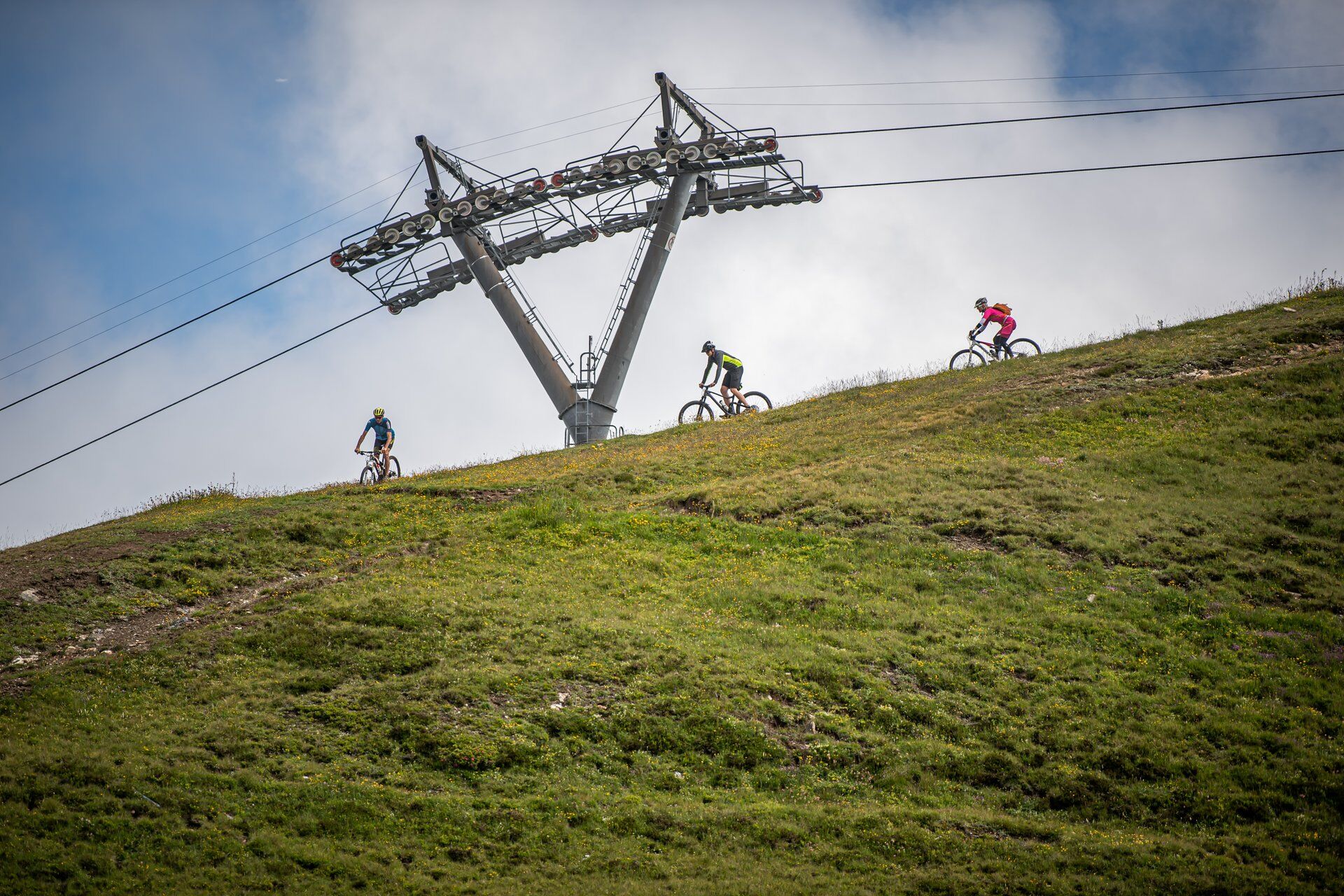
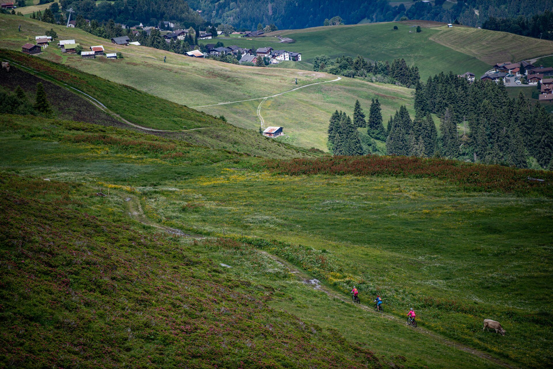
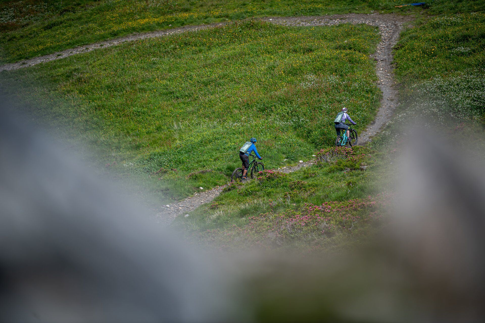
Nevertheless, you can save 1100 meters of climb without having to feel guilty about not pedaling at all. Many partly newly built single trails, short parts over alpine roads and forest paths bring you back to the starting point in less than two hours, where most conclude that not only the view was remarkable.
Attention: shortly before Luven there is a detour due to rockfall danger. This is clearly signposted in the terrain and the route has been adapted accordingly. The village of Luven is bypassed. However, those wishing to visit Luven must pedal a short uphill stretch.

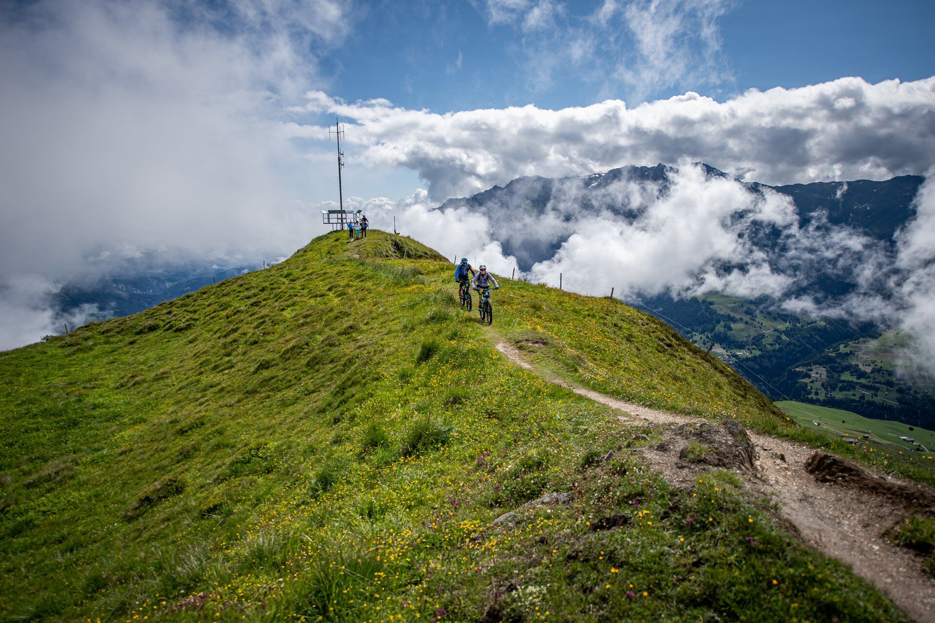
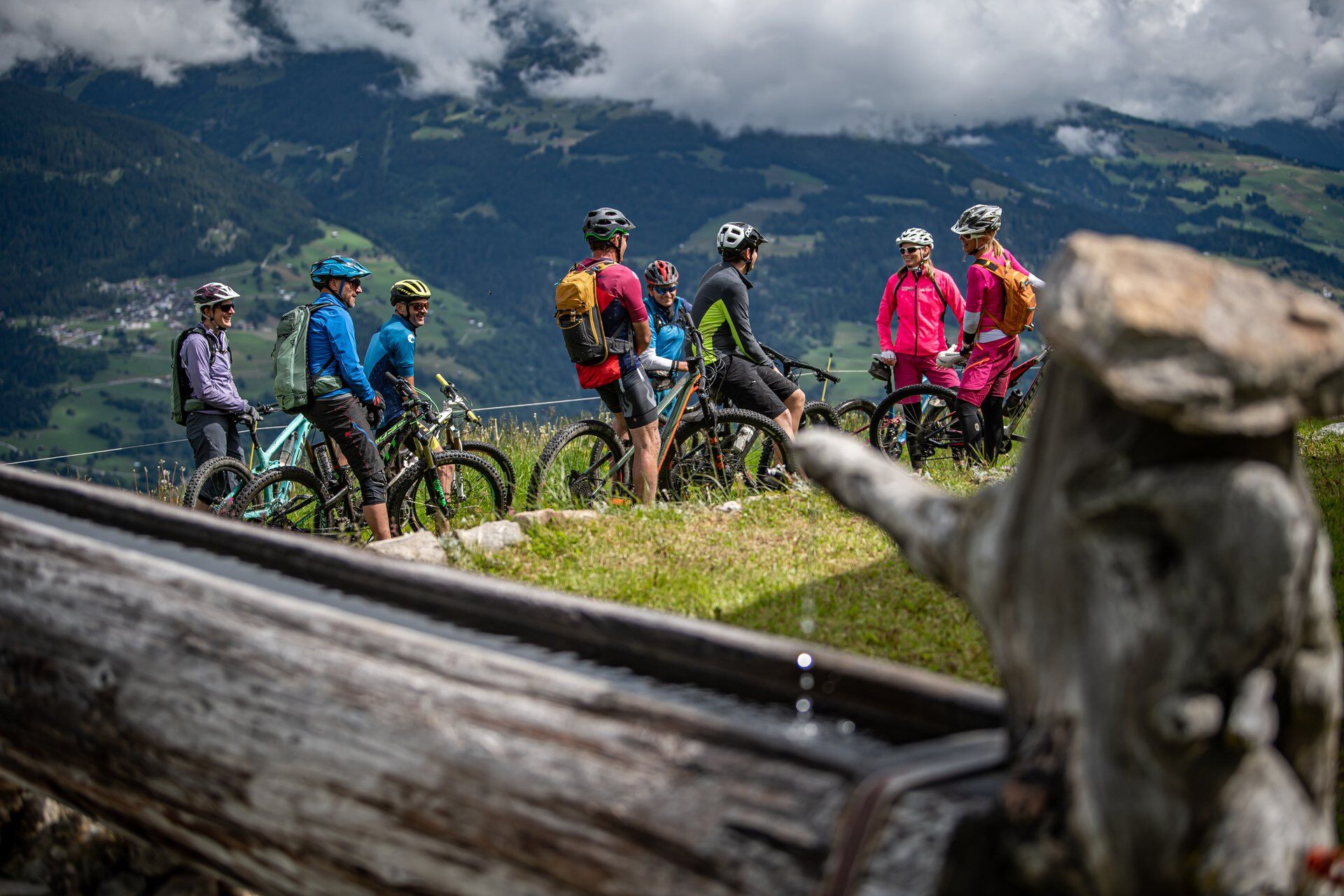
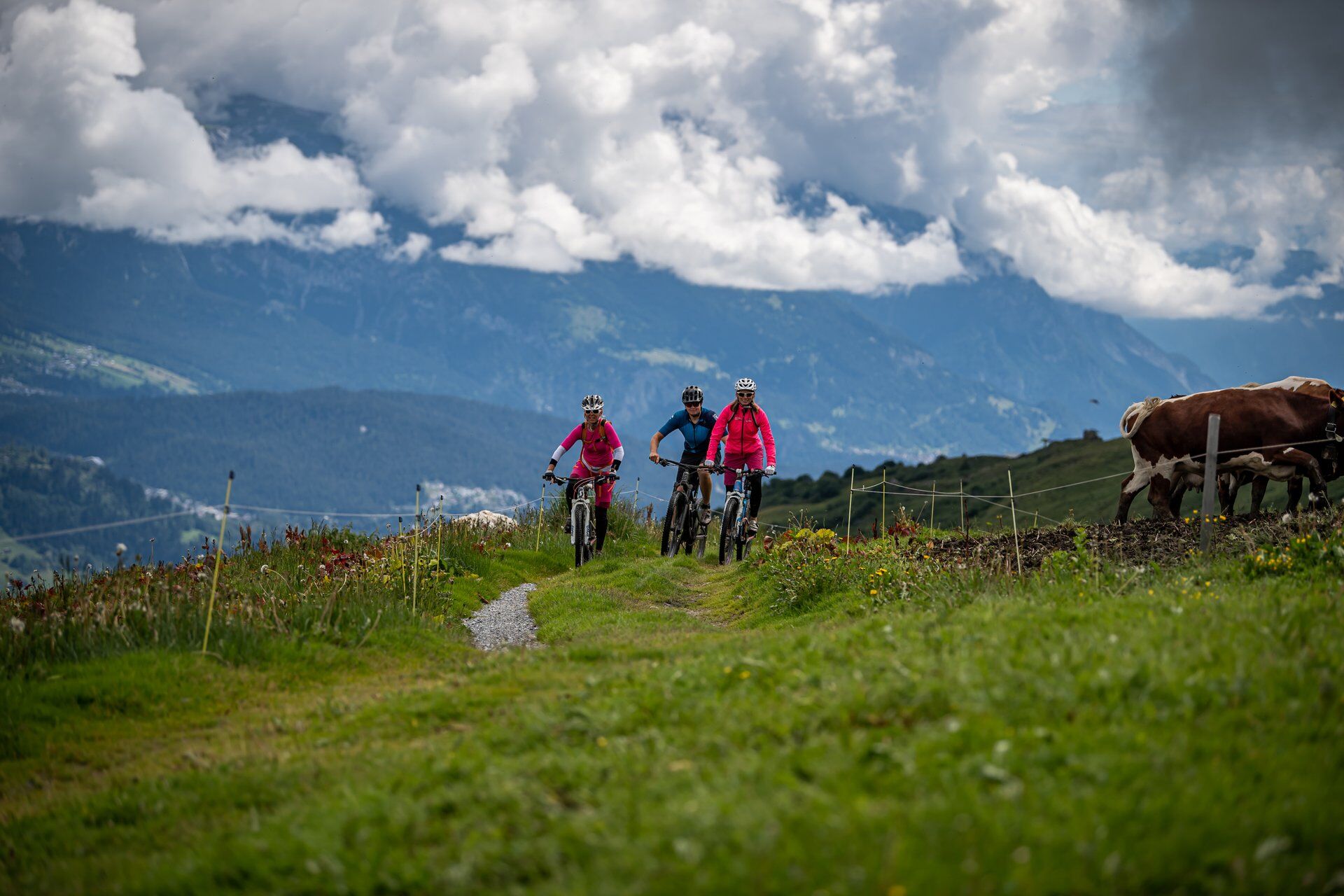
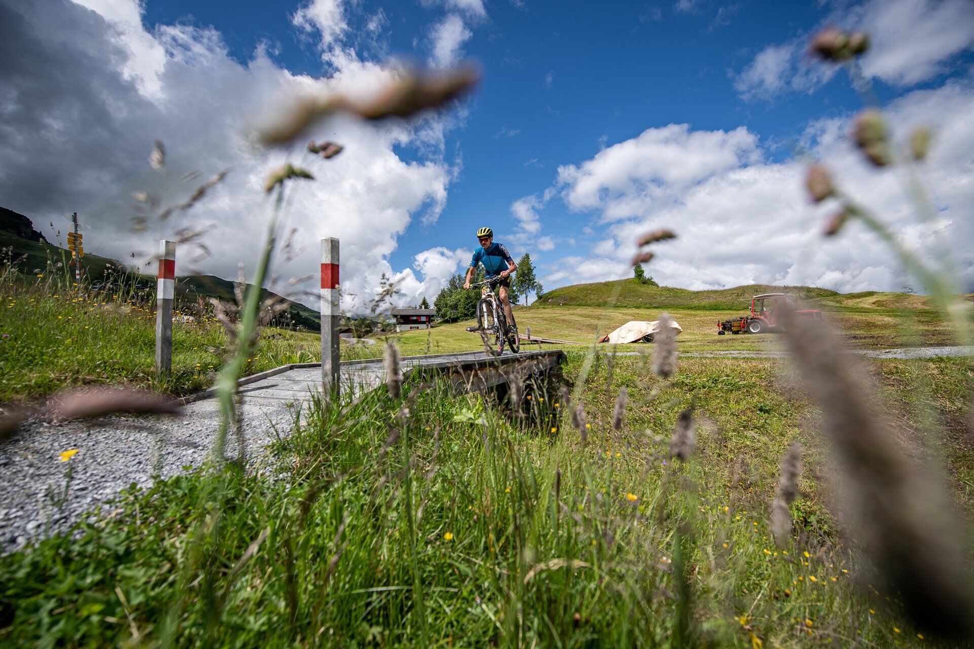
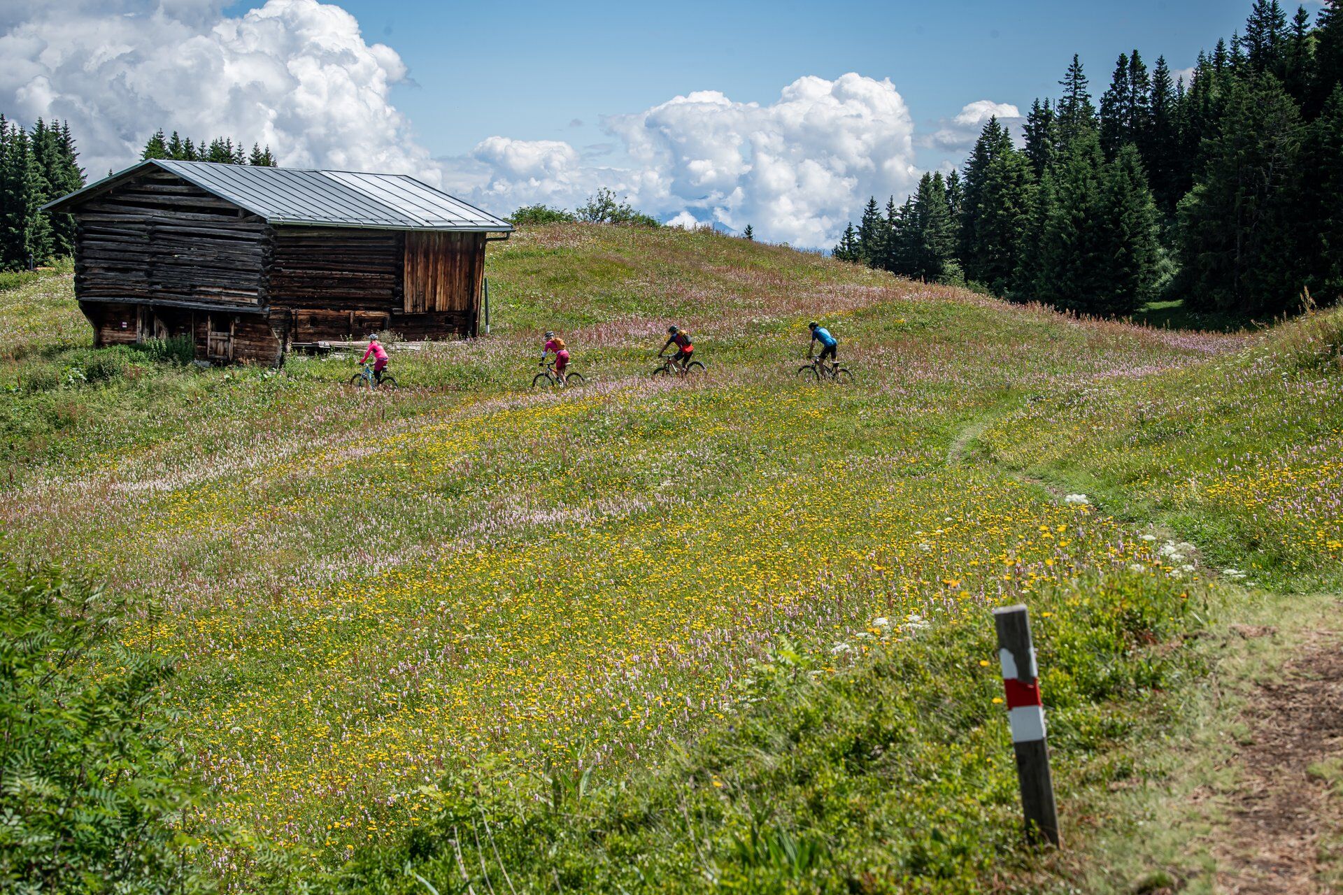

Piz Mundaun - Tegia Dado - Tegia Dadens - Undermatt - Cuolm Sura - Cuolm Dado - Uaul las Plattas - Uaul da Marschaga - Marschaga - Plaun Sut - Uaul la Traviarsa - Flond - Caltgera - Detour - Luven - Lieptgas - Plattialas - S. Martin - Ilanz
Áno
Áno
MTB, helmet, gloves, bike shoes, glasses, rain and sun protection, drink, repair kit, first aid kit
Do not start the route in uncertain weather conditions. Weather changes in the mountains are frequent. If a rain front or similar approaches during the route, you should turn back in good time.
Respect other trail users - trail tolerance!
On the A13 to Reichenau, then on main road 19 via Flims to Ilanz.
Continue by public transport:
PostBus: BUS 451 towards Obersaxen, Friggahüs; stop: Surcuolm, posta
Pedal from Surcuolm up to Cuolm Sura
Mountain railways: Cuolm Sura - Piz Mundaun
From the Grisons cantonal capital Chur, take the Rhaetian Railway through the spectacular Rhine Gorge to Ilanz.
Parking options at Ilanz train station or nearby, e.g. at the marketplace.
S3
Please note the operating hours of the Obersaxen mountain railways.
A visit to the viewing platform on Piz Mundaun is definitely worthwhile.
Between Cuolm Sura and Flond, there are marked variants indicated with blue, red, or black. Choose freely. Shortly afterwards you will be back on the normal route.
With an e-MTB, you can even ride all the way up to Piz Mundaun - technically partly demanding but awesome...
Stop for refreshments at Leo’s Snackbar in Undermatt with e-bike charging station - so you can continue riding afterwards...
Získajte prehľad
Vždy naživo na mieste s viac ako 9 500 webovými kamerami. bergfex Ako používateľ Pro si teraz môžete pozrieť príslušné webové kamery pre mnohé zájazdy v aplikácii zájazdy z. Môžete si tak priamo prezerať aktuálne podmienky.
Obľúbené výlety v okolí
-
4,4
4-lake hike: Caumasee - Crestasee - Felsbach Gorge
strednáTuristika 12,8 km -
4,8
Rheinschlucht: From Ilanz to Versam into the heart of the Rheinschlucht
strednáTuristika 11,4 km -
4,8
Rhine Gorge Hike: Senda Ruinaulta (659)
svetloTuristika 9,39 km -
4,7
The Water Trail: Trutg dil Flem 764
ťažkéTematická trasa 8,56 km -
5,0
High valley Val Frisal
ťažkéTuristika 12,4 km -
5,0
Caumasee tour: Flims - Caumasee - Conn - Flims
svetloTuristika 7,94 km -
5,0
Lower Segnesboden: Nagens Sura - Lower Segnesboden - Segnes hut - Alp Nagens
strednáTuristika 6,66 km -
4,3
Circular hike: Falera-Curnius-Alp Dadens-Falera
strednáTuristika 11,4 km -
5,0
Rhine Gorge Circular Hike
strednáTuristika 11,4 km -
5,0
Circular route: Lake Cauma - Rhine Gorge "Swiss Grand Canyon"
strednáTuristika 19,8 km
Turistika a stopovanie


Nenechajte si ujsť ponuky a inšpiráciu na ďalšiu dovolenku
Vaša e-mailová adresa bol pridaný do poštového zoznamu.





