






Pradel - Via Vegia

Úroveň náročnosti: S3
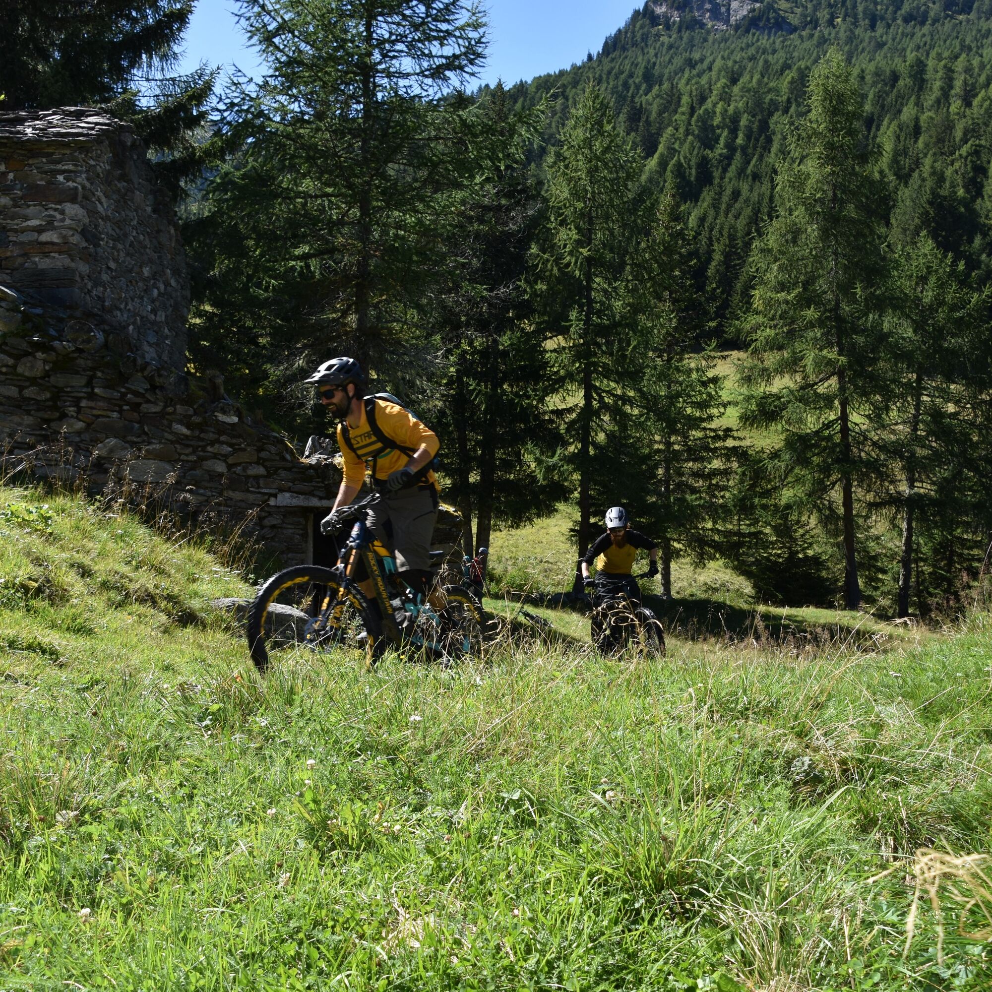
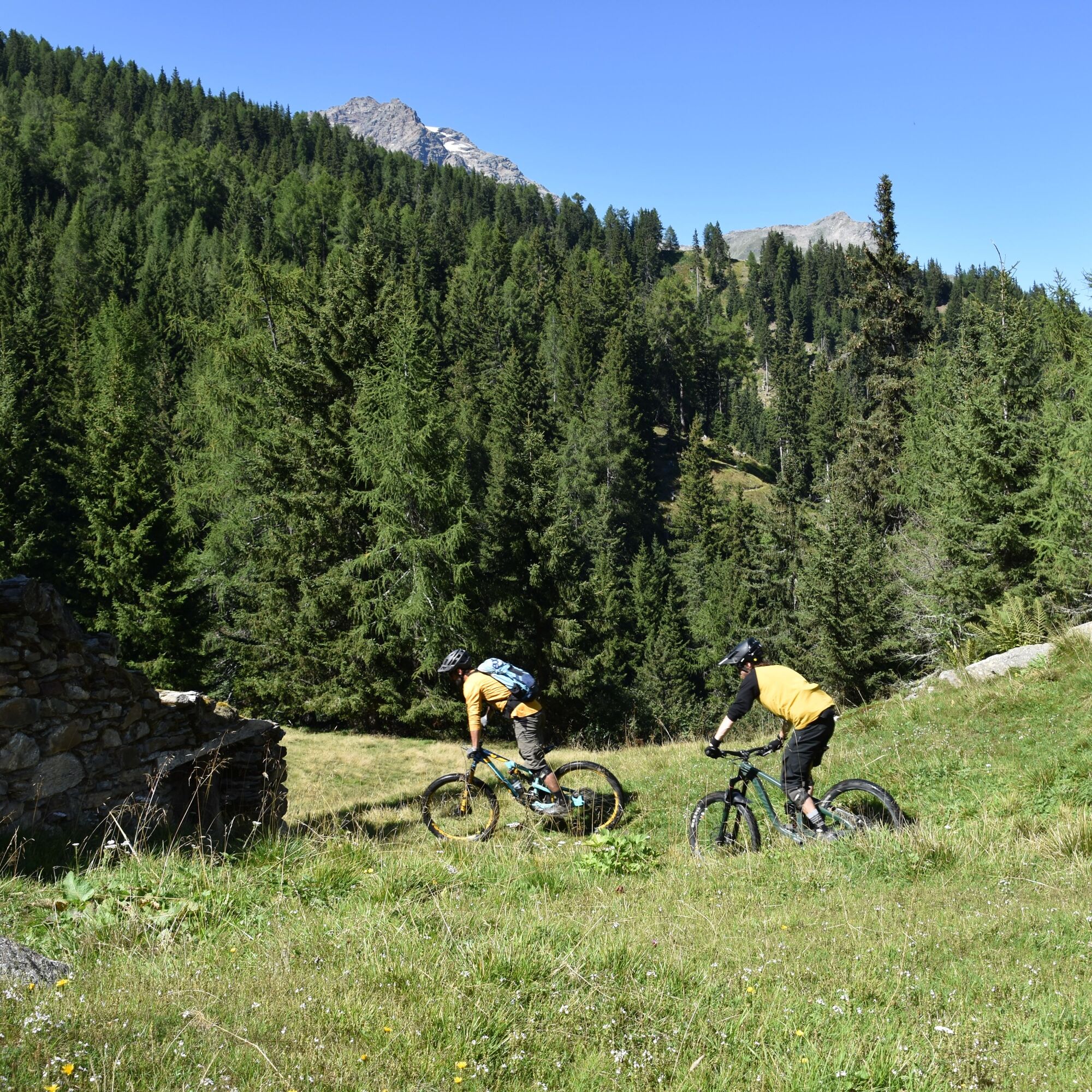
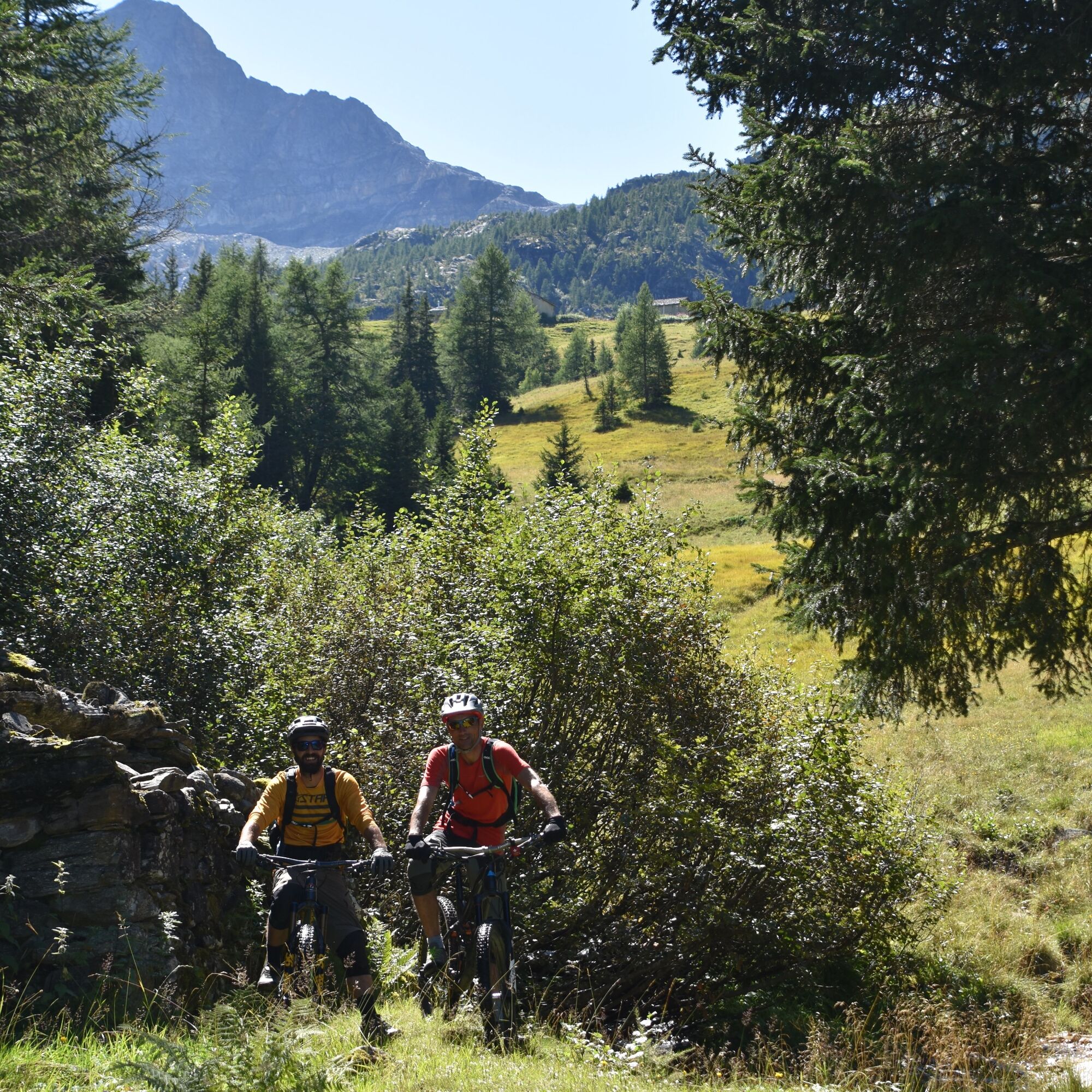
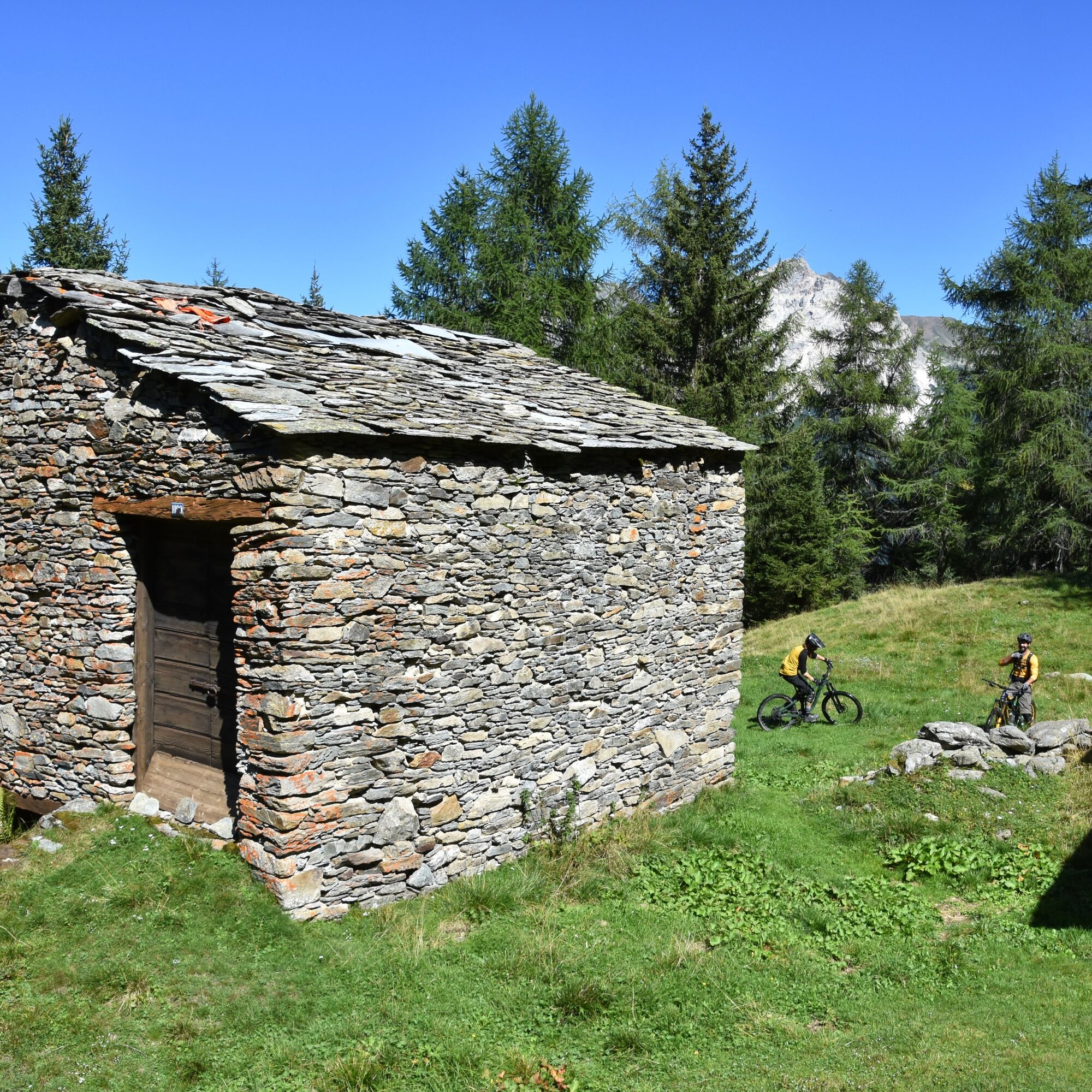
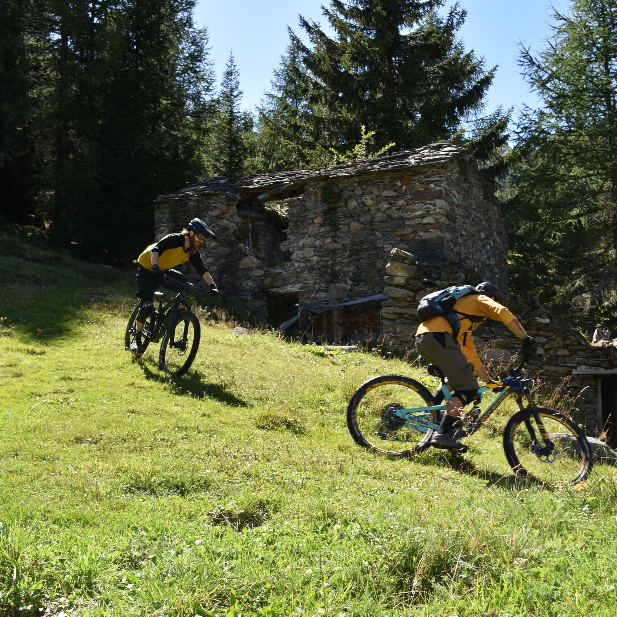
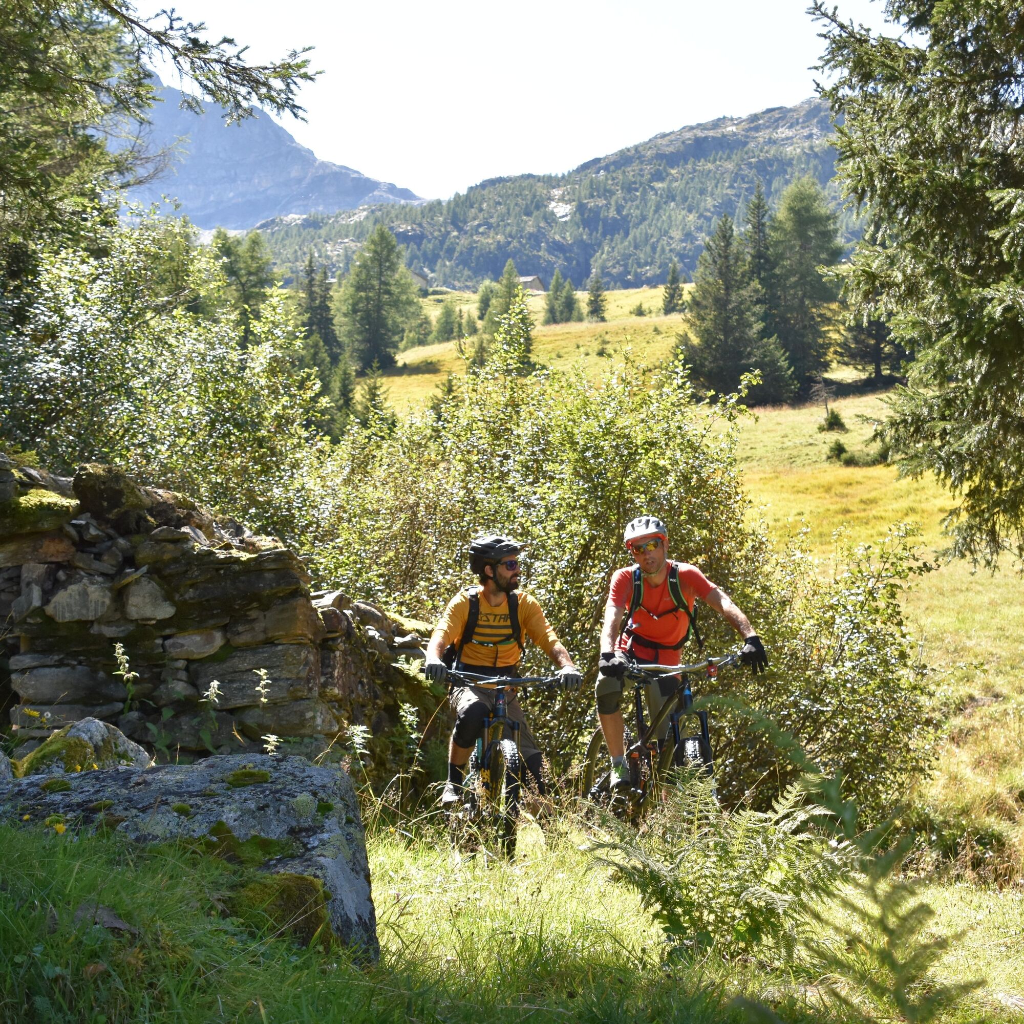
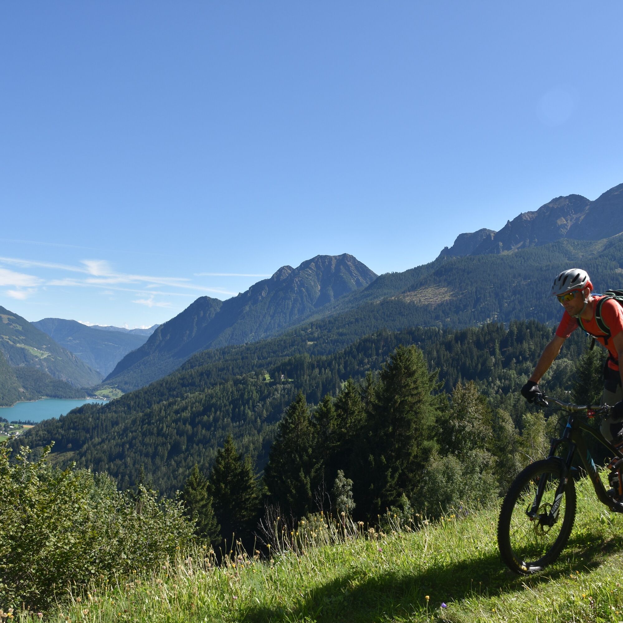
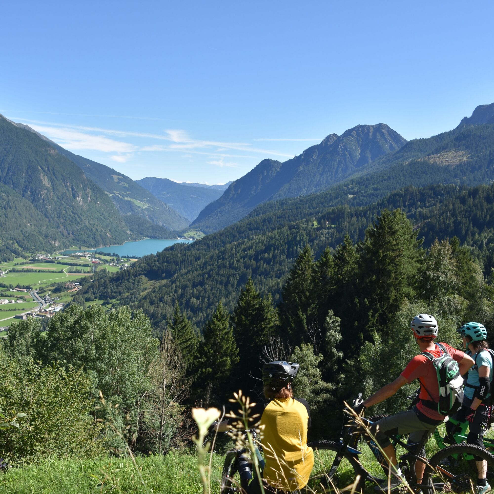
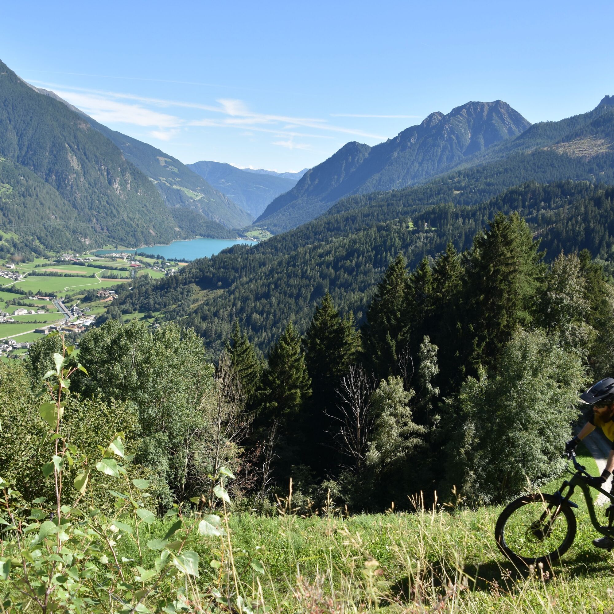
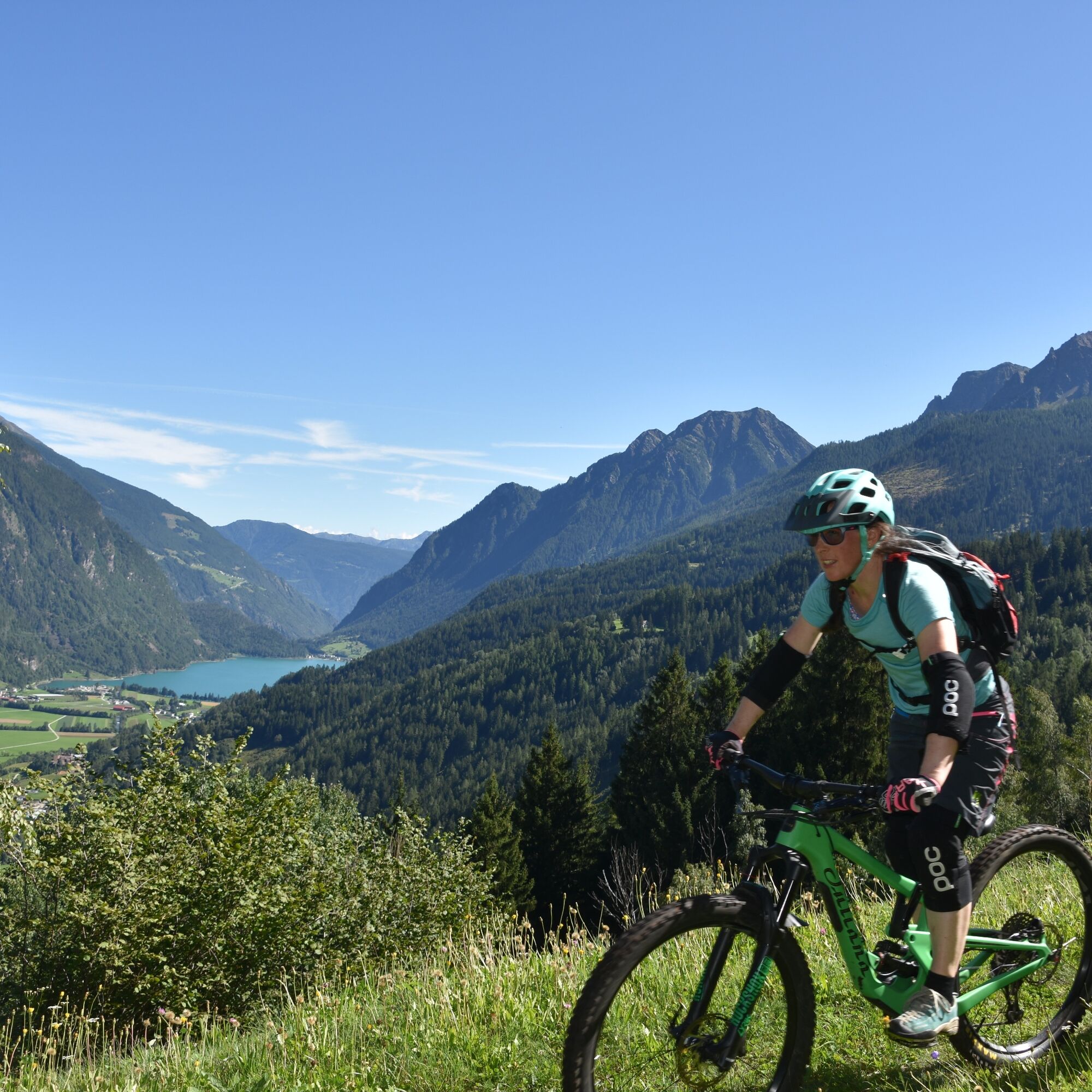
The trail starts at 2000 meters above sea level. The first part leads through an enchanted forest. Afterwards, it crosses the meadows and Alp Pradel and then the historic trail, leading downhill with a...
The trail starts at 2000 meters above sea level. The first part leads through an enchanted forest. Afterwards, it crosses the meadows and Alp Pradel and then the historic trail, leading downhill with a considerable slope. Some pit stops are recommended, not only for photos but also to cool the brakes.


S3
This trail was made suitable by volunteers during the Valposchiavo Vivabike Trail Care Week 2020.
Instead of creating new trails, Valposchiavo Vivabike strives to make historic trails attractive for cyclists in the sense of trail recycling.

Obľúbené výlety v okolí
-
5,0
Morteratsch station - Boval Hut
strednáTuristika 10,5 km -
4,7
Diavolezza - Munt Pers
svetloHorská turistika 3,82 km -
5,0
Mountain hike to Lagh da Saoseo
ťažkéTuristika 15,0 km -
4,8
Lagalb - Val Minor - Motta Bianca - Lagalb
strednáTuristika 9,80 km -
4,4
Piz Palü (3.905m) – Hochtour
strednáVysoké turné 13,4 km -
4,5
Diavolezza - Lej da Diavolezza
strednáTuristika 6,22 km -
5,0
Diavolezza - Sass Queder
svetloTuristika 1,55 km -
5,0
Ospizio Bernina Station - Alp Grüm (-Cavaglia)
svetloTuristika 4,97 km -
4,3
Lago Bianco
Turistika 7,91 km -
4,6
Diavolezza
ťažkéTrailrunning 5,97 km
Turistika a stopovanie


Nenechajte si ujsť ponuky a inšpiráciu na ďalšiu dovolenku
Vaša e-mailová adresa bol pridaný do poštového zoznamu.





