







Enduro-Tour Spundis-Juchs

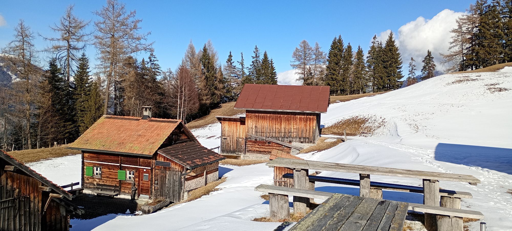
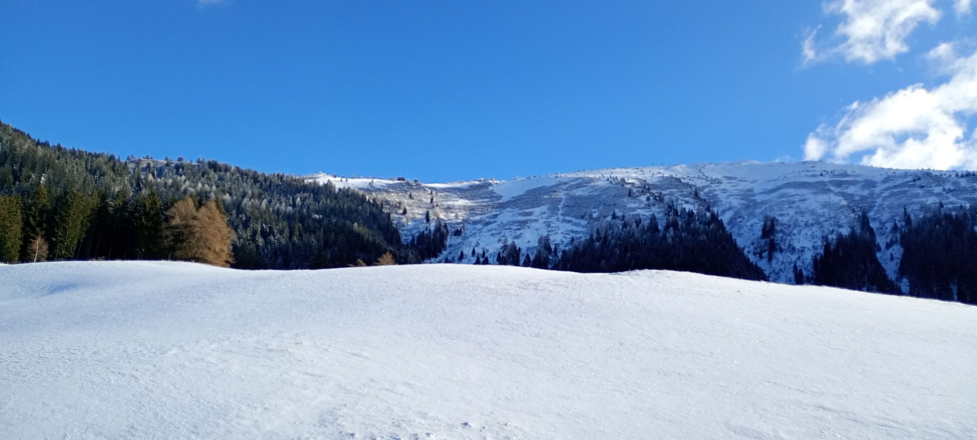
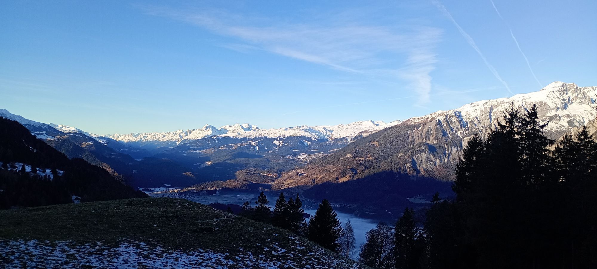
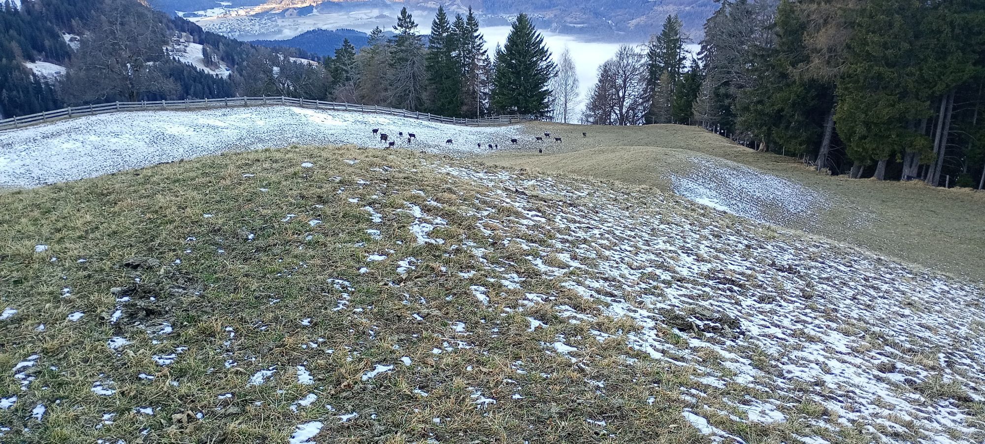
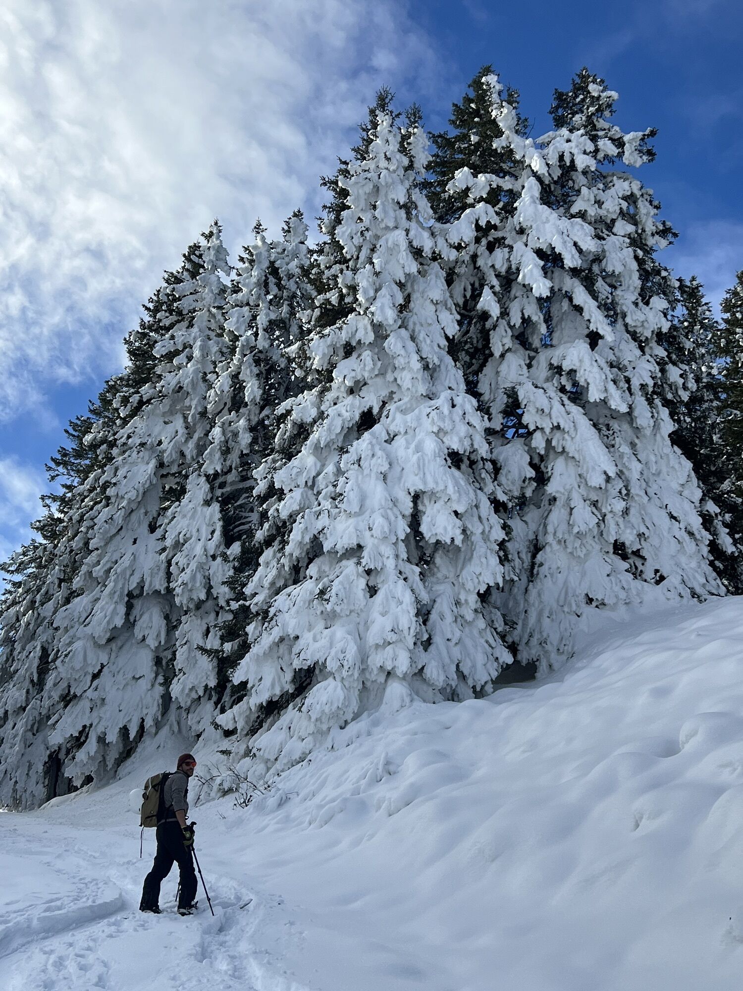
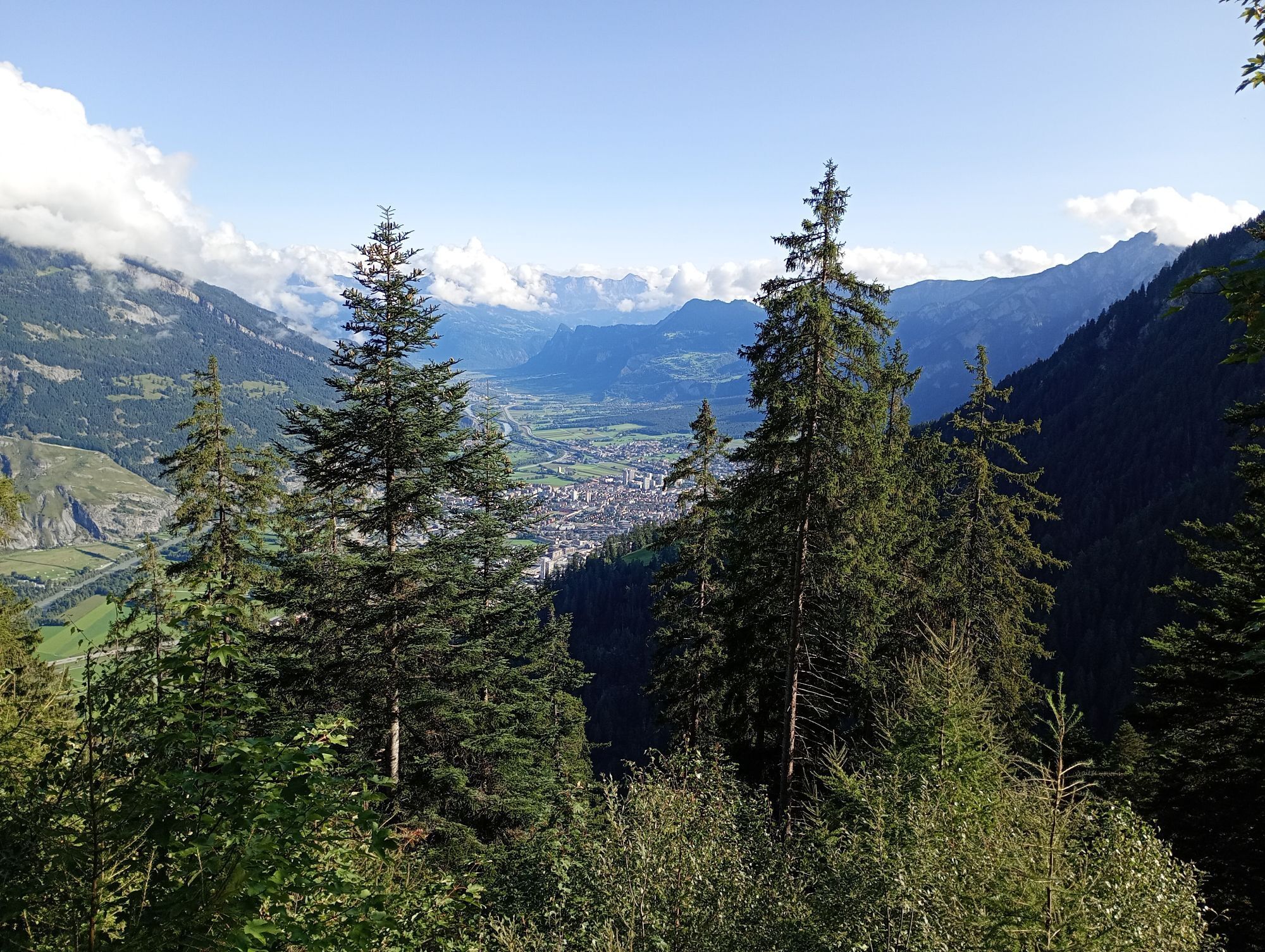
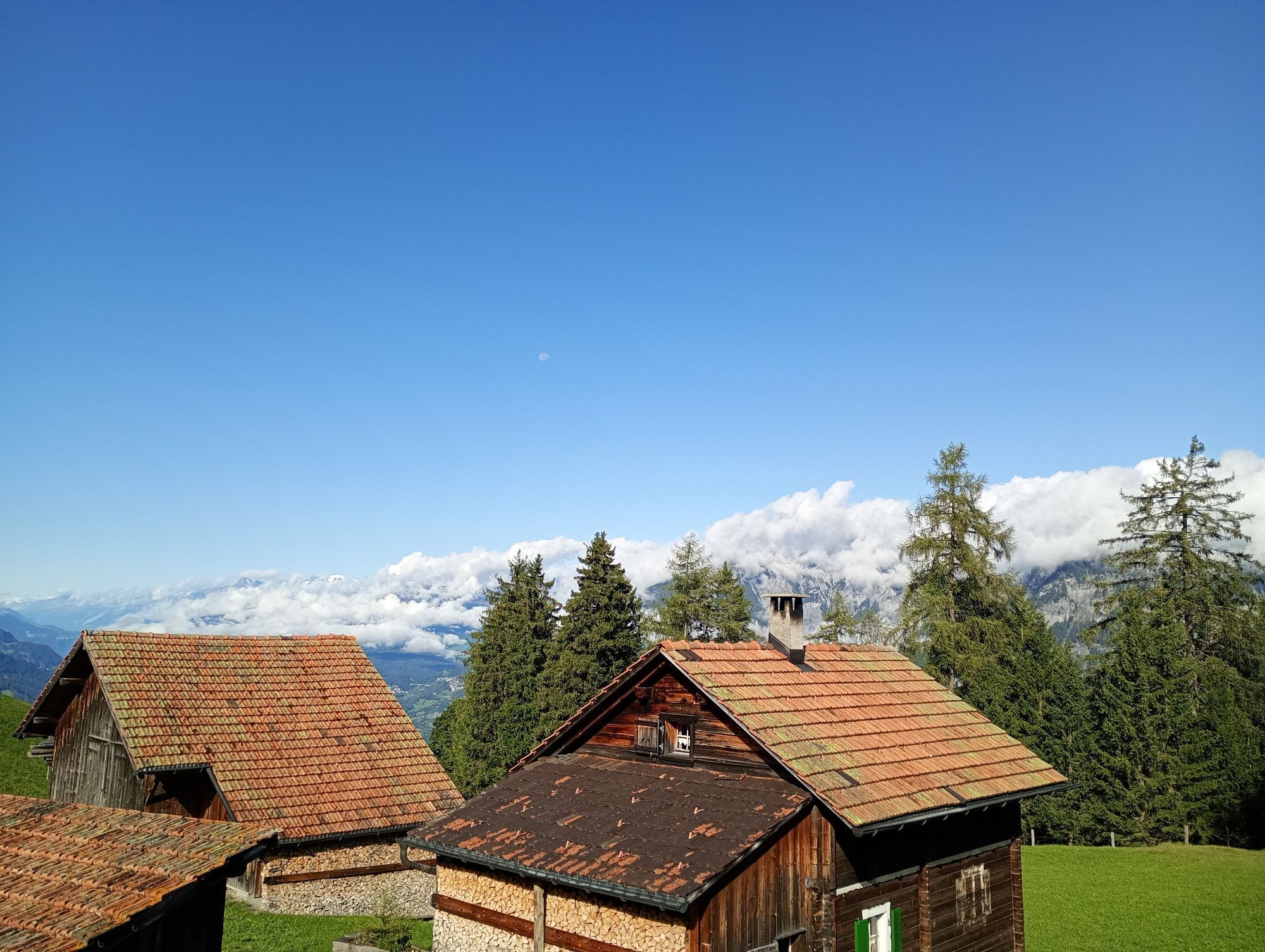
After the cableway ascent from Chur to Brambrüesch, a short and pleasant ascent over the Malixeralp to Lake Spundis follows. There you take the exit via Juchs to Chur. And it's got it in it! At the beginning...
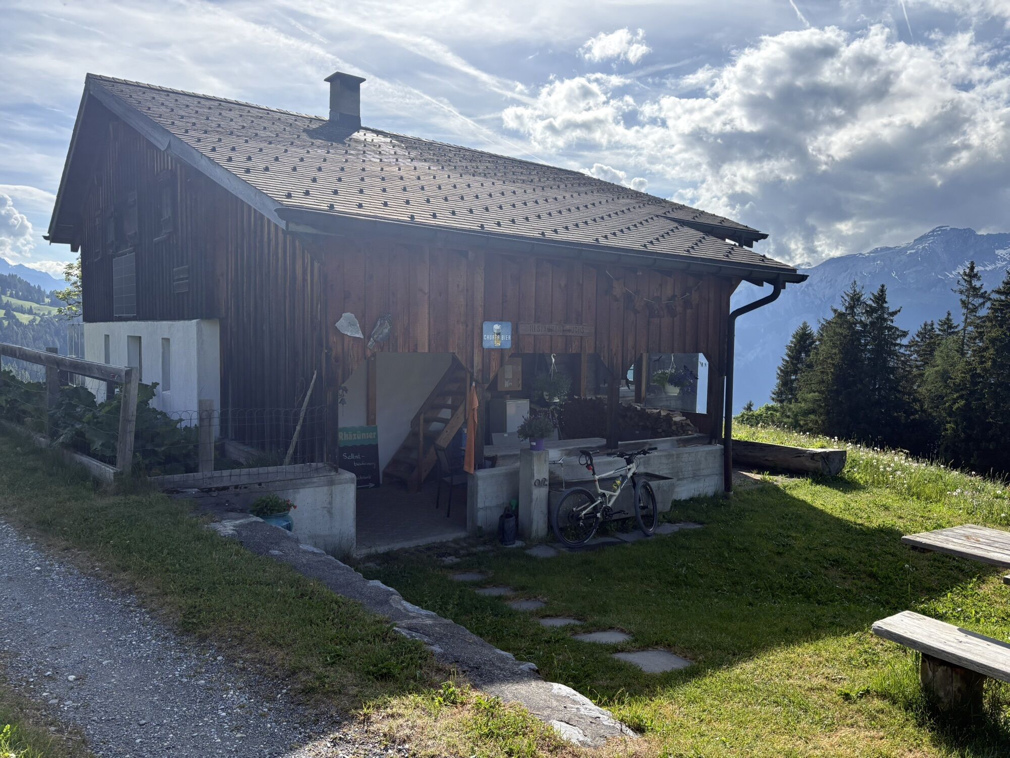
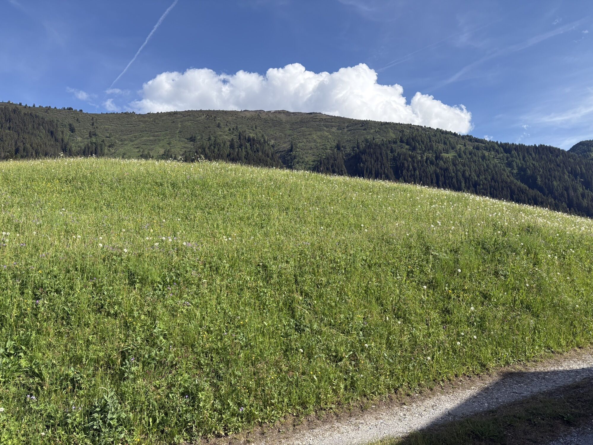
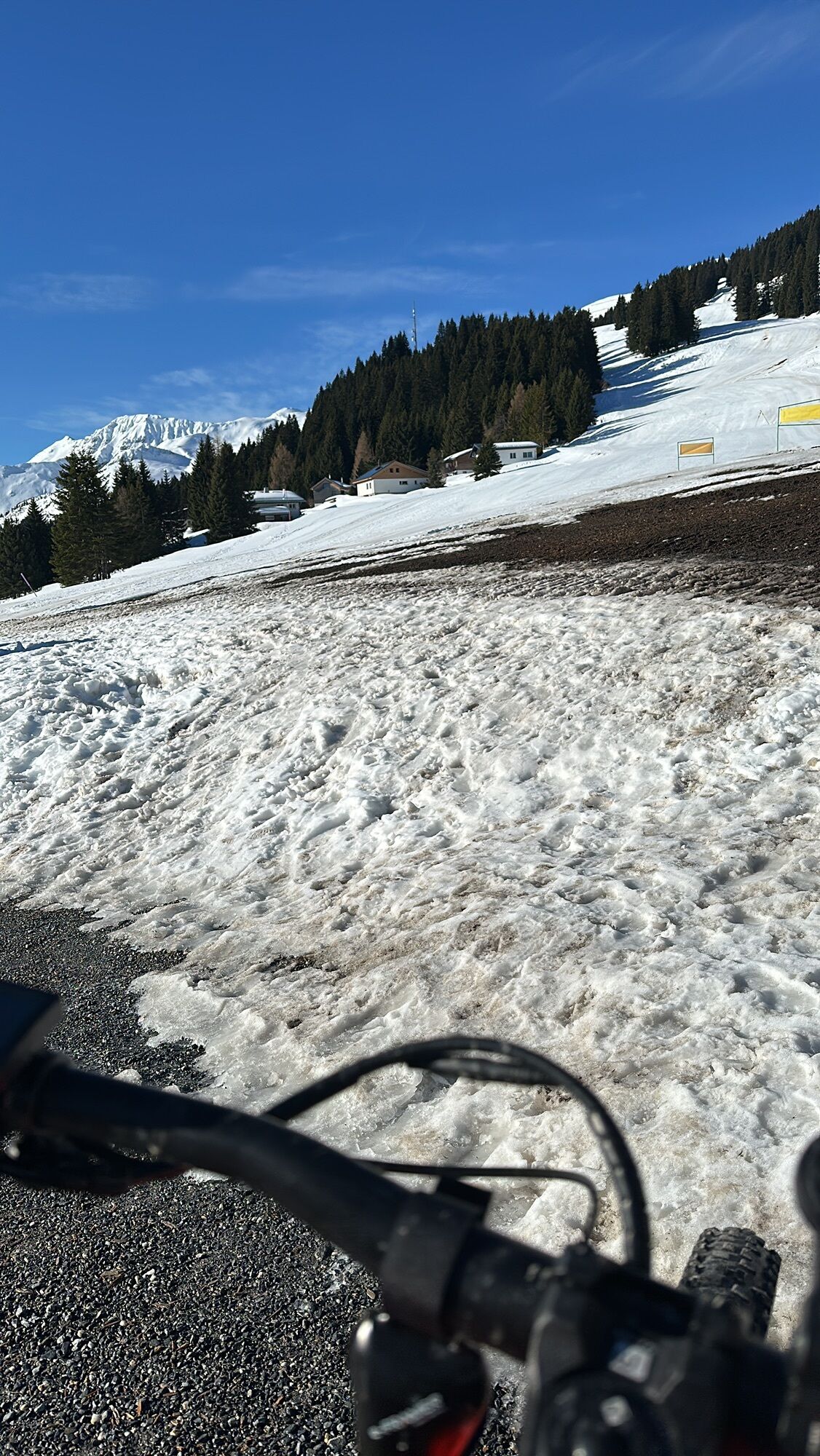
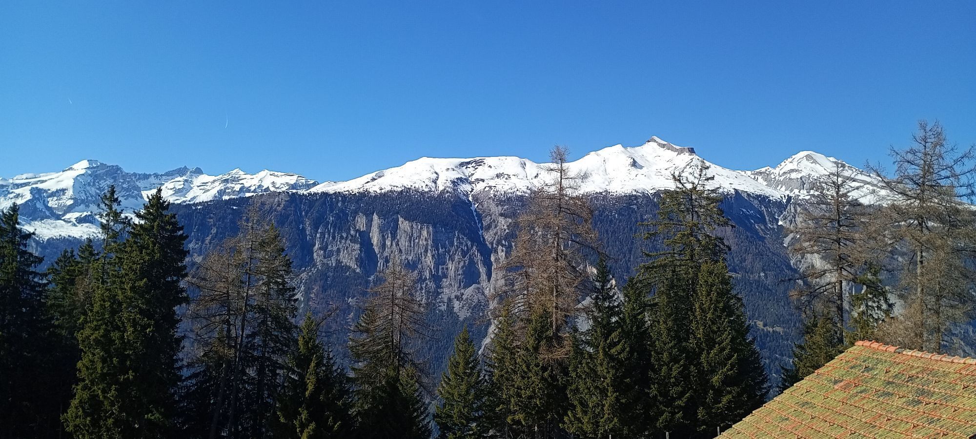
After the cableway ascent from Chur to Brambrüesch, a short and pleasant ascent over the Malixeralp to Lake Spundis follows. There you take the exit via Juchs to Chur. And it's got it in it! At the beginning a flowing trail leads across the meadows, which inspires jumps of joy. Later it becomes steeper and more demanding until you have crossed the ravine and descend over a meadow to Alp Juchs. After following the alp road for a short while, a hiking trail soon branches off to the left again. Now begins a technical, partially exposed single trail, traversed by demanding (but with some practice rideable - please avoid abbreviations) hairpin bends. The trail crosses the road several times until one follows the alp road a bit further down. And then after a bend another trail branches off to the right. Here begins a flow firework, the trail leads relatively flat in several sections up to the Rosenhügel above Chur. On this last section, especially before the curves, drive with foresight and caution, as hikers or bikers might also come across. From Rosenhügel one follows the road and behind the Welschdörfli through back to the valley station of the Chur cableways.

Highway exit Chur Süd
Drive in direction of the city centre (Kasernenstrasse)
The valley station and parking lot are located in front of the city centre on the right-hand side.
Take the train to Chur station. From there you can reach the valley station by bike in 5 minutes.
Guests of the Chur cableways park for free at the parking lot at the cableway station. But you must indicate the plate number of your car at the cash desk!
Webové kamery z prehliadky
Získajte prehľad
Vždy naživo na mieste s viac ako 9 500 webovými kamerami. bergfex Ako používateľ Pro si teraz môžete pozrieť príslušné webové kamery pre mnohé zájazdy v aplikácii zájazdy z. Môžete si tak priamo prezerať aktuálne podmienky.
Obľúbené výlety v okolí
-
4,4
4-lake hike: Caumasee - Crestasee - Felsbach Gorge
strednáTuristika 12,8 km -
4,8
Rhine Gorge Hike: Senda Ruinaulta (659)
svetloTuristika 9,39 km -
4,8
Mountain hike to the Strudeltöpfe on Alp Mora: Bargis-Trin
ťažkéTuristika 18 km -
5,0
Caumasee tour: Flims - Caumasee - Conn - Flims
svetloTuristika 7,94 km -
4,3
Historic Pinut via ferrata
strednáVia ferrata 5,82 km -
5,0
Rhine Gorge Circular Hike
strednáTuristika 11,4 km -
5,0
Circular route: Lake Cauma - Rhine Gorge "Swiss Grand Canyon"
strednáTuristika 19,8 km -
Arosa-Schwellisee-Älplisee-Parpaner Rothorn
Turistika 12,3 km -
4,5
Drachenloch
ťažkéTuristika 9,72 km -
4,7
Arosa-Hörnli-Parpaner Rothorn-Lenzerheide
Turistika 11,9 km
Turistika a stopovanie


Nenechajte si ujsť ponuky a inšpiráciu na ďalšiu dovolenku
Vaša e-mailová adresa bol pridaný do poštového zoznamu.





