


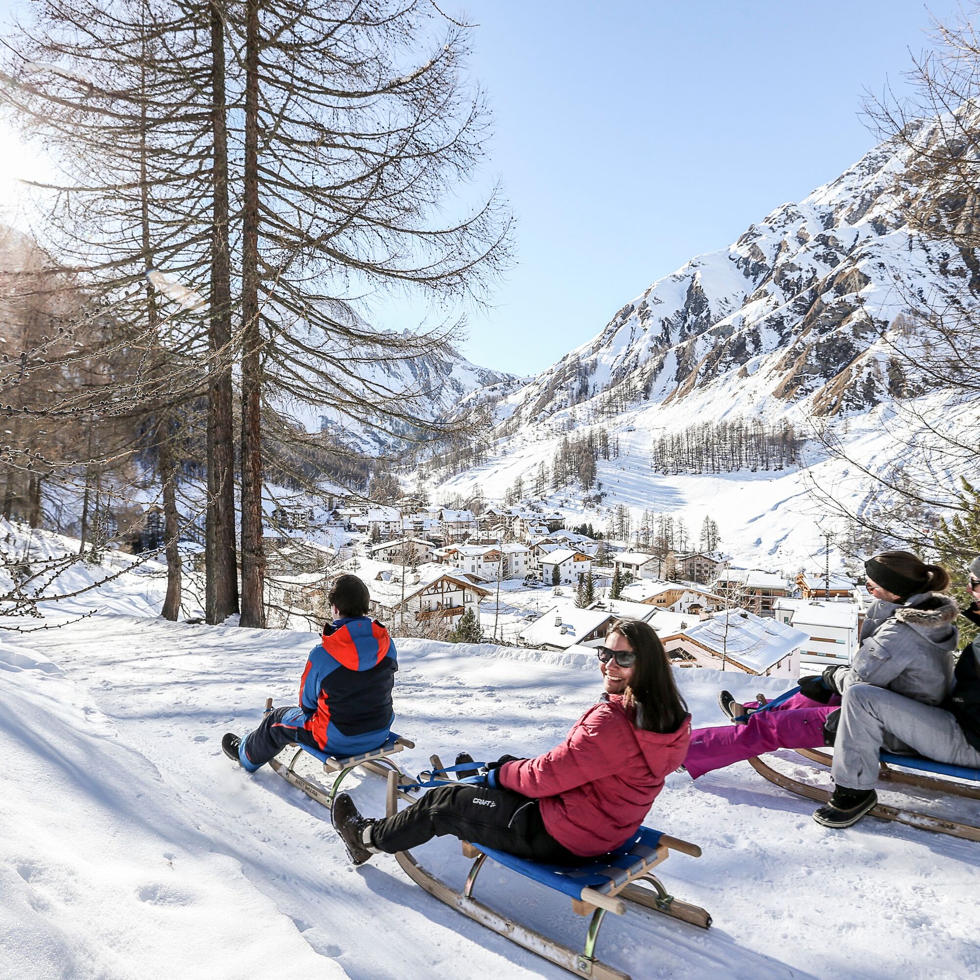
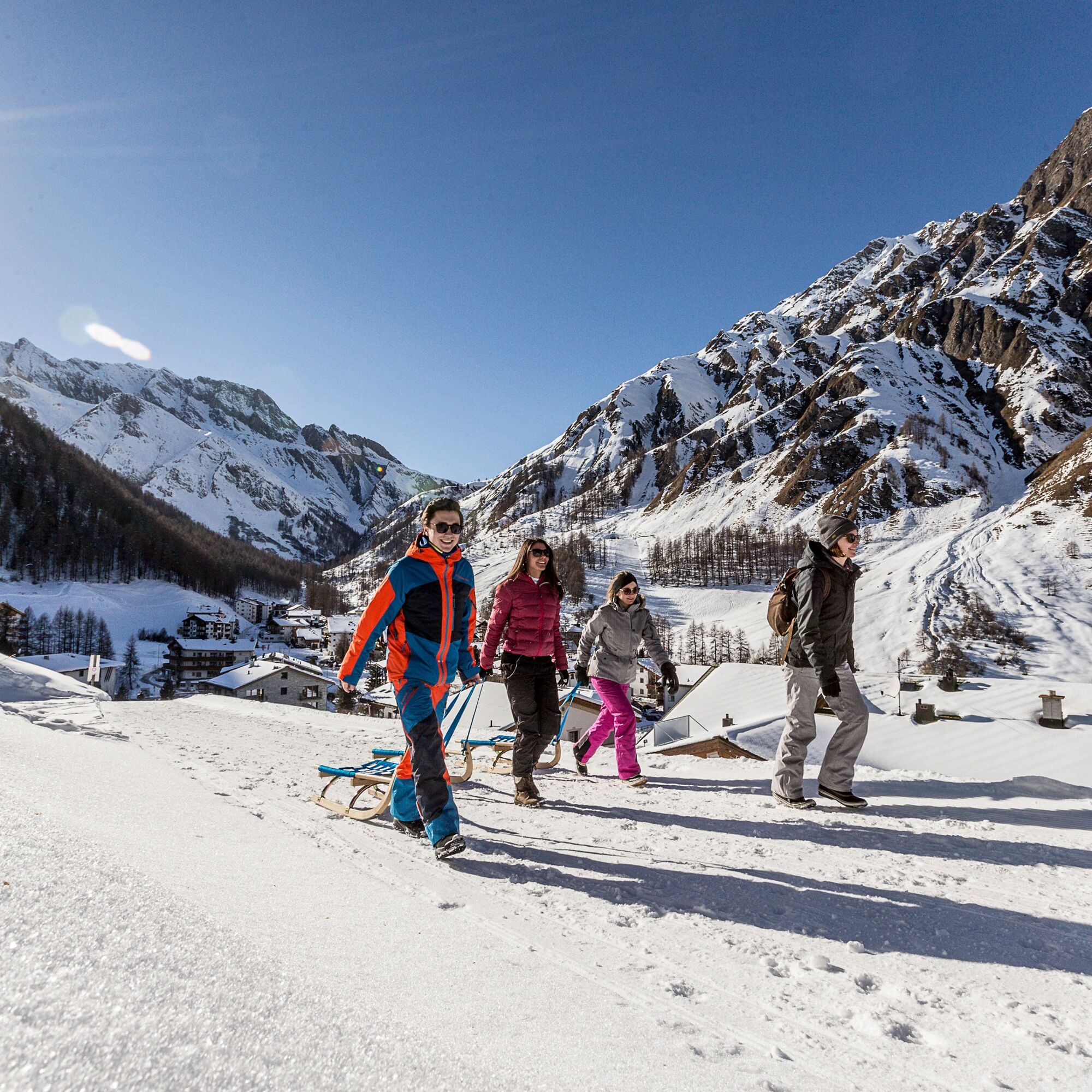
Samnaun Toboggan Run
On foot it goes from Samnaun village through the mixed forest Inner Wald and past the forest hut Motta Saltuorn. Before the descent a stop at the vantage point above the Val Motnaida is worthwhile: the...

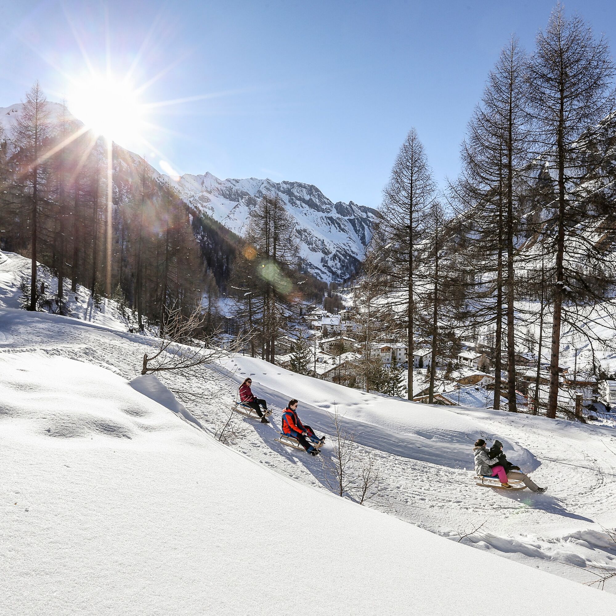
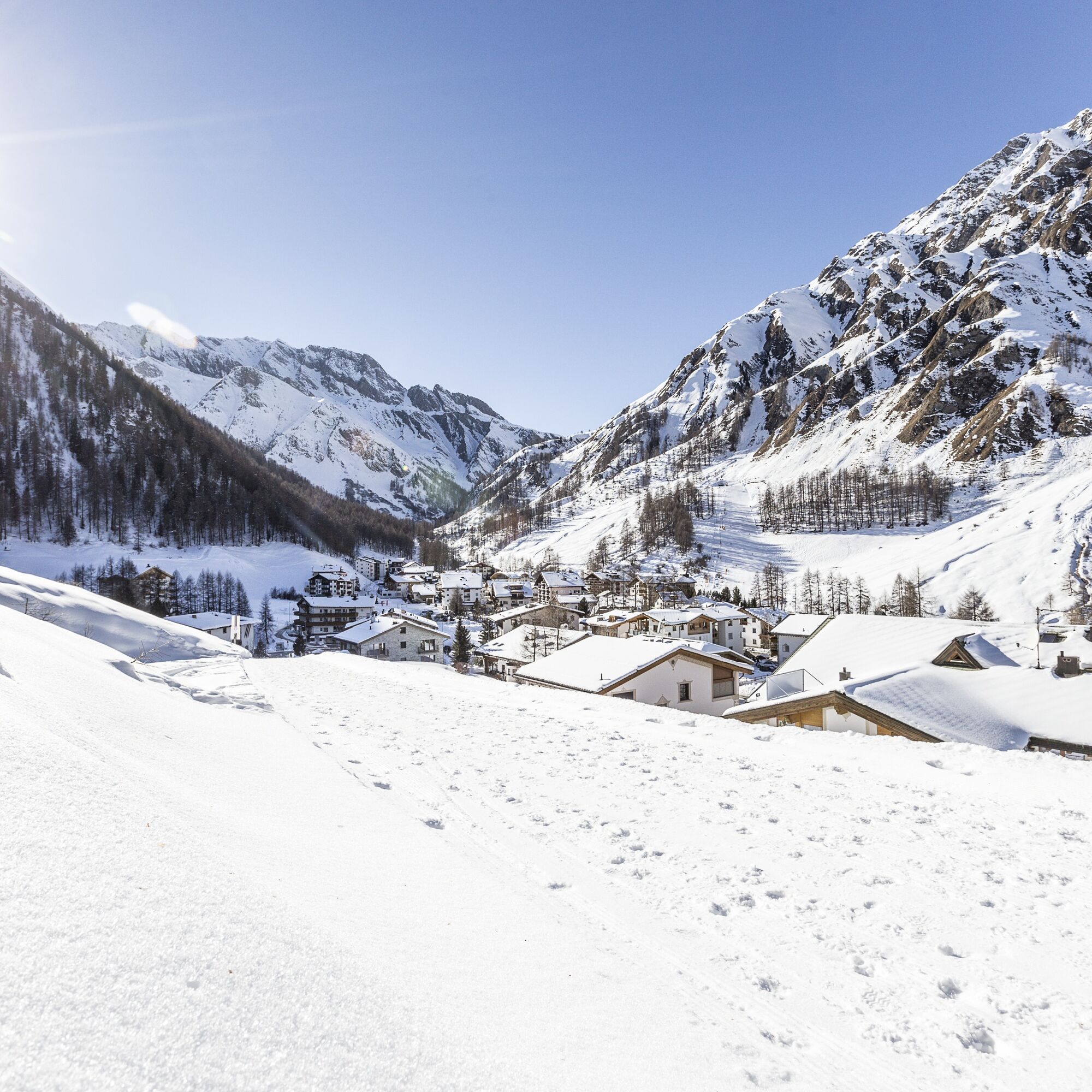
Continue to the viewpoint Val Motnaida
Departure on the same path
Áno
Sled, high and solid hiking boots or winter boots, warm clothes, sun protection, gloves and helmet recommended.
Emergency call:
144 emergency call, first aid
1414 Mountain rescue REGA
112 International emergency call
Please note: If you travel to Samnaun, you need a valid travel document (passport, ID), as you will pass the border in Martina or Spissermühle.
With the Rhaetian Railway (from Chur, Landquart/Prättigau or from the Upper Engadine) hourly to Scuol-Tarasp station.
Continue by PostBus (from Scuol-Tarasp, or Martina, cunfin) hourly to PostBus stop Samnaun-Dorf
In Samnaun during the day hourly service with the Samnaunbus
Free parking Votlas
Obľúbené výlety v okolí
-
5,0
Menta Alm - Scheibenalm
svetloTuristika 11,4 km -
4,5
Radurschelklamm
strednáTuristika 7,51 km -
4,7
Jamtal lodge
strednáTuristika 19,6 km -
4,3
Sonnenkogel - Friedrichshafener lodge
strednáTuristika 13,2 km -
5,0
Samnaun Dorf – Muttler
ťažkéTuristika 14,8 km -
5,0
Rundwanderung Berglisee, Mathon
ťažkéTuristika 11,1 km -
5,0
Around the Flimspitz from Alptrider Sattel
strednáTuristika 8,57 km -
5,0
Kappl, Diasbahn Bergstation, Niederelbehütte, Diasbahn, Österreich
strednáTuristika 10,1 km -
4,5
Etappe 2; Kappl-Heidelberger Hütte
strednáMountainbike 23,3 km -
3,0
Sonnenkogel
svetloTuristika 4,96 km

Turistika a stopovanie


Nenechajte si ujsť ponuky a inšpiráciu na ďalšiu dovolenku
Vaša e-mailová adresa bol pridaný do poštového zoznamu.