


532 Brambrüesch-Feldis Trail (GR 1)
This trail from Brambrüesch to Feldis – or the other way around – leads over the gentle plateau with many vistas around the Dreibündenstein. At the stone monument of the former Three Leagues of Rhaetia,...
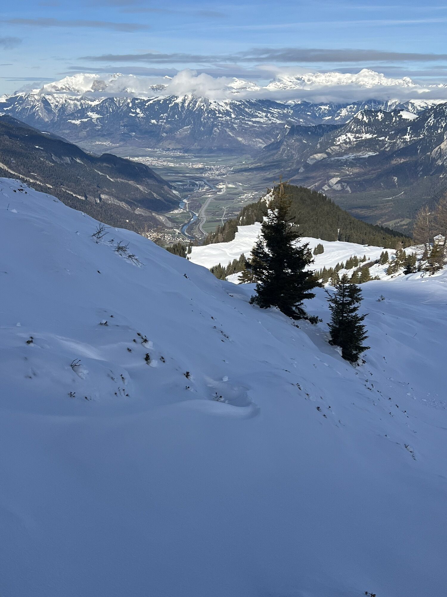
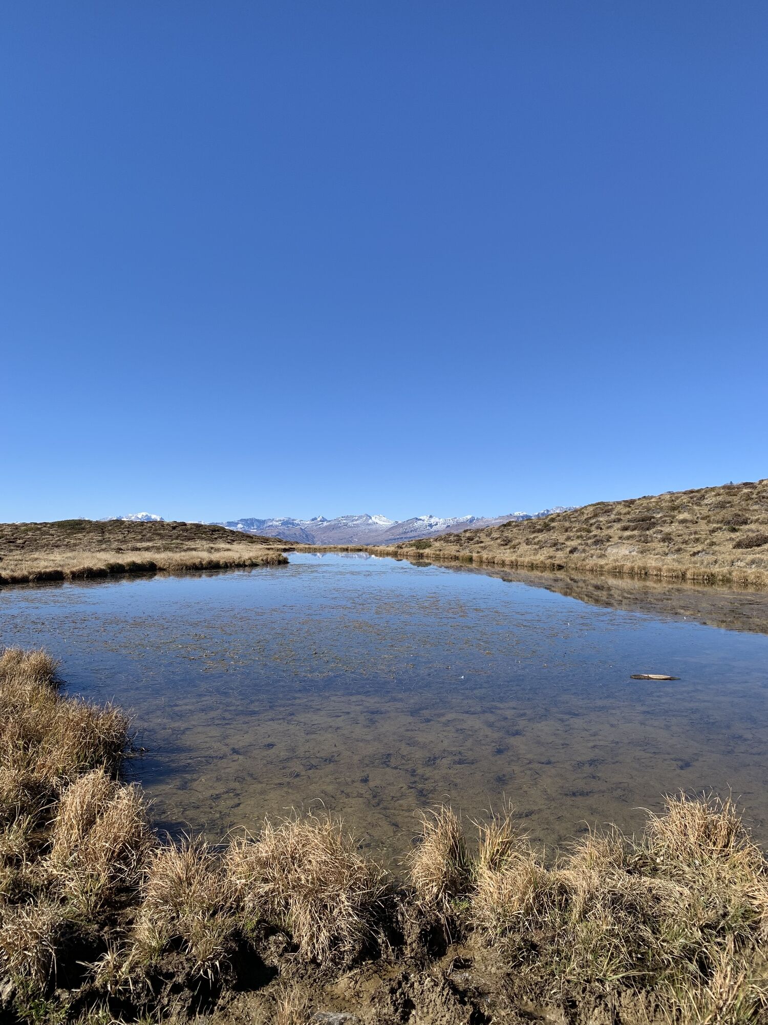
This trail from Brambrüesch to Feldis – or the other way around – leads over the gentle plateau with many vistas around the Dreibündenstein. At the stone monument of the former Three Leagues of Rhaetia, you can admire a 360-degree panorama extending from the town’s home mountains surrounding Chur, the Arosa and Lenzerheide, up to the Glarus Alps.
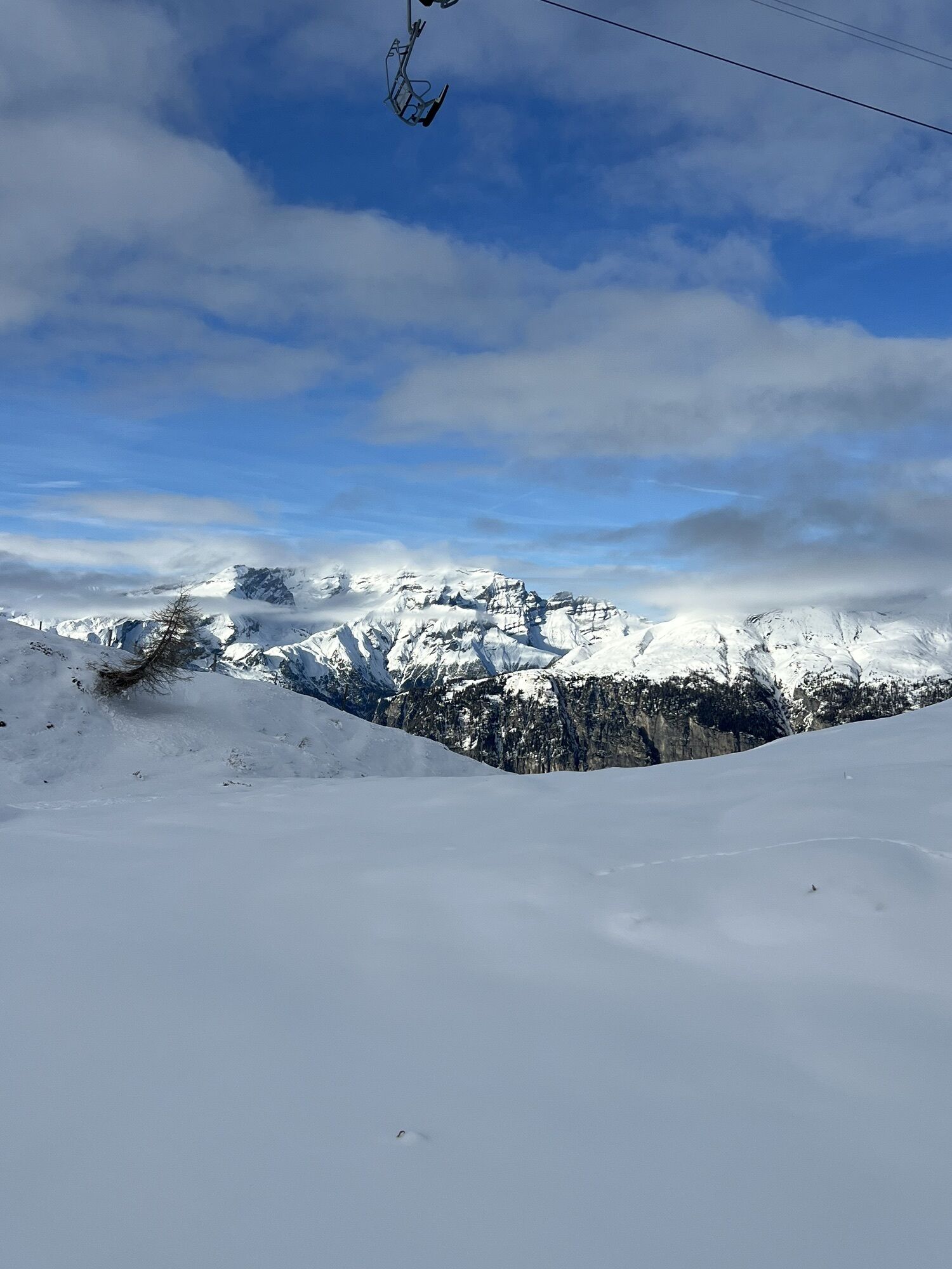
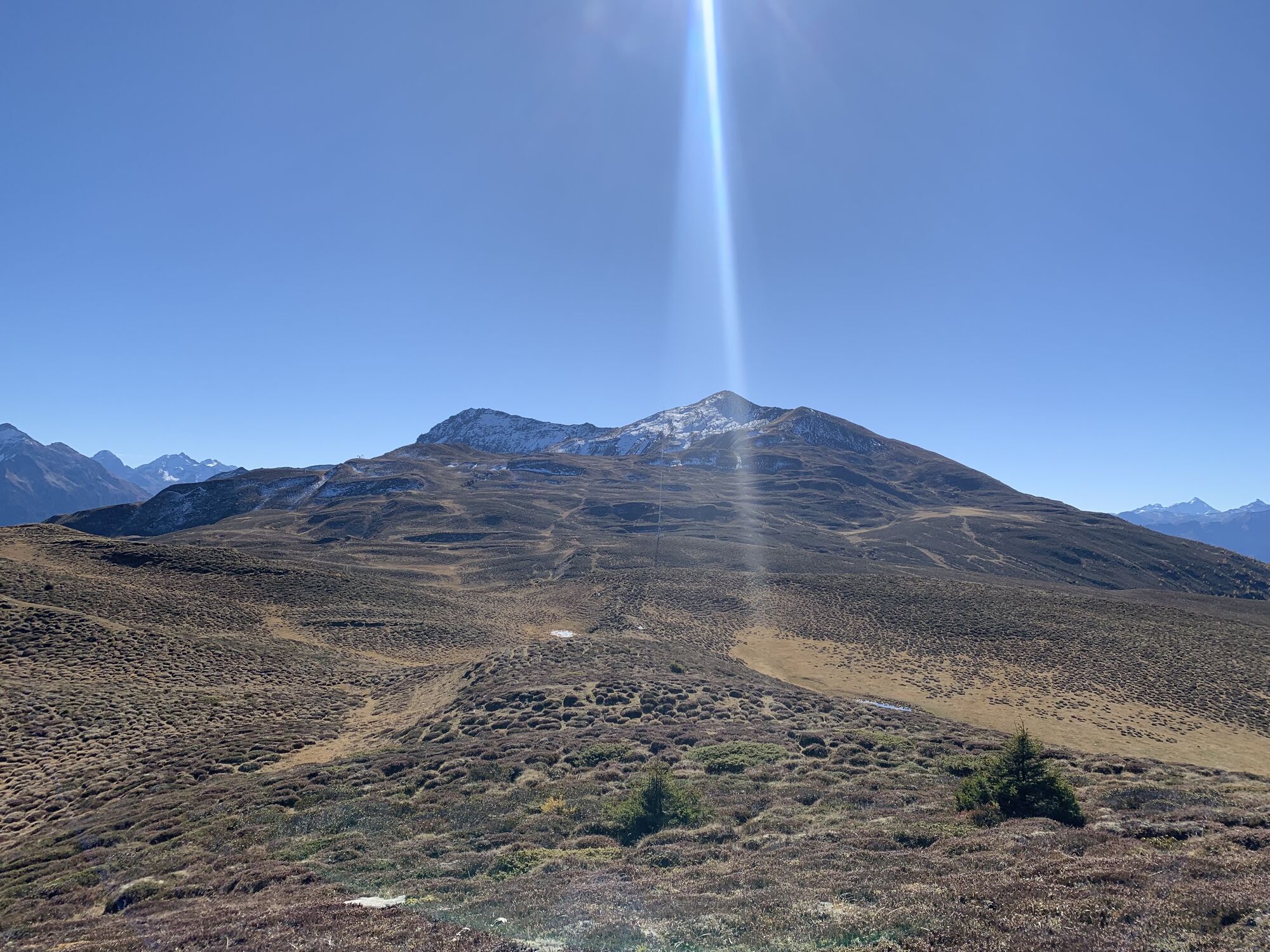
Well visible on the Ringelspitz, lying opposite and reaching up to the Flims Mountains (Segnes, Tschingelhörner) is the UNESCO World Heritage site «Tektonikarena Sardona» (Glarus thrust). In this area, processes of the formation of the Alps can be seen particularly well. The central element is the Glarus main thrust fault, which is as sharp as a blade in an area where older rocks were thrust over the younger material when the Alps formed. The panorama info board at the highest point of the hike (Furggabüel, 2174 m above sea level) provides information about the World Heritage site and all names and altitudes of the surrounding mountain peaks.
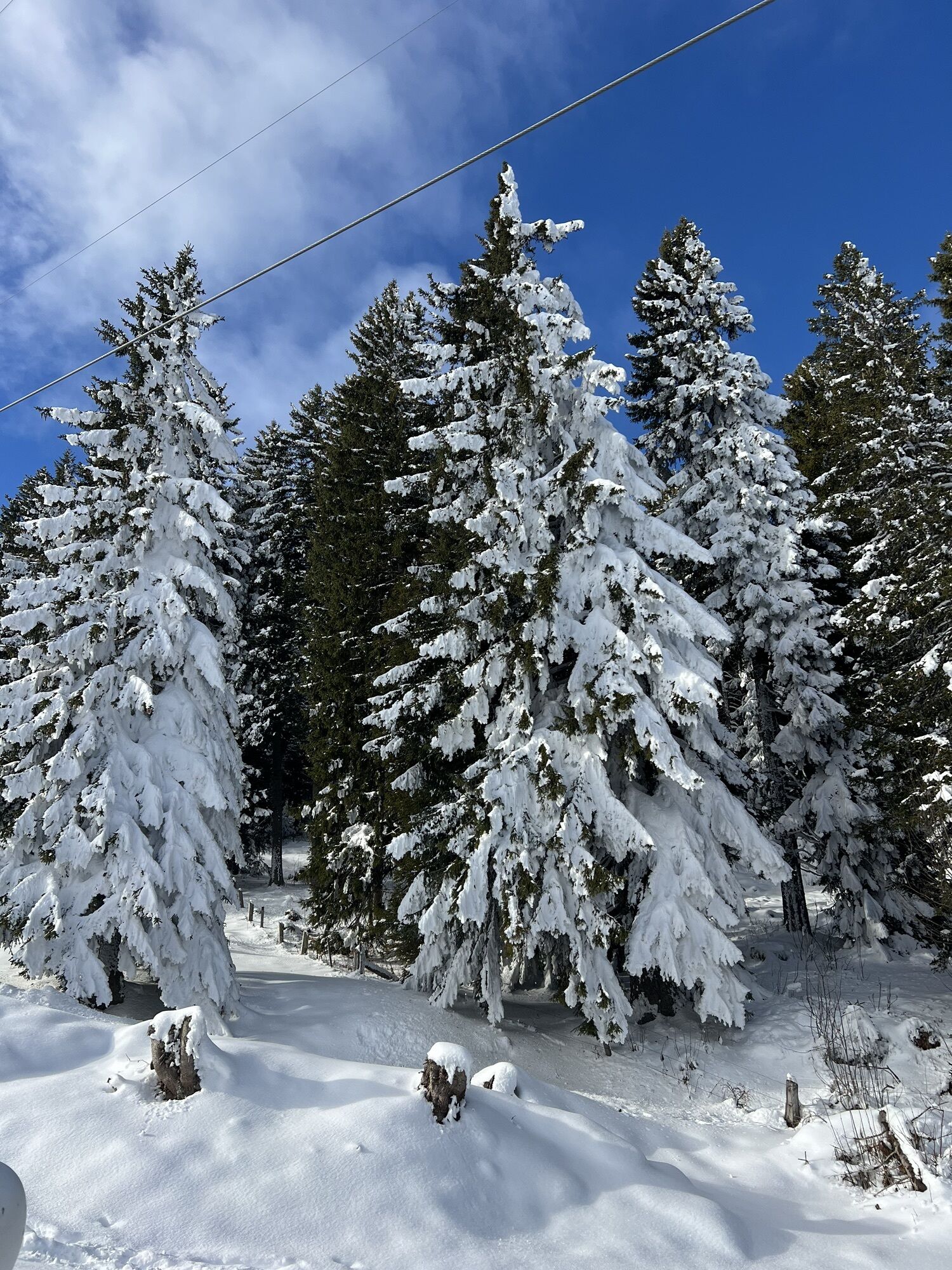
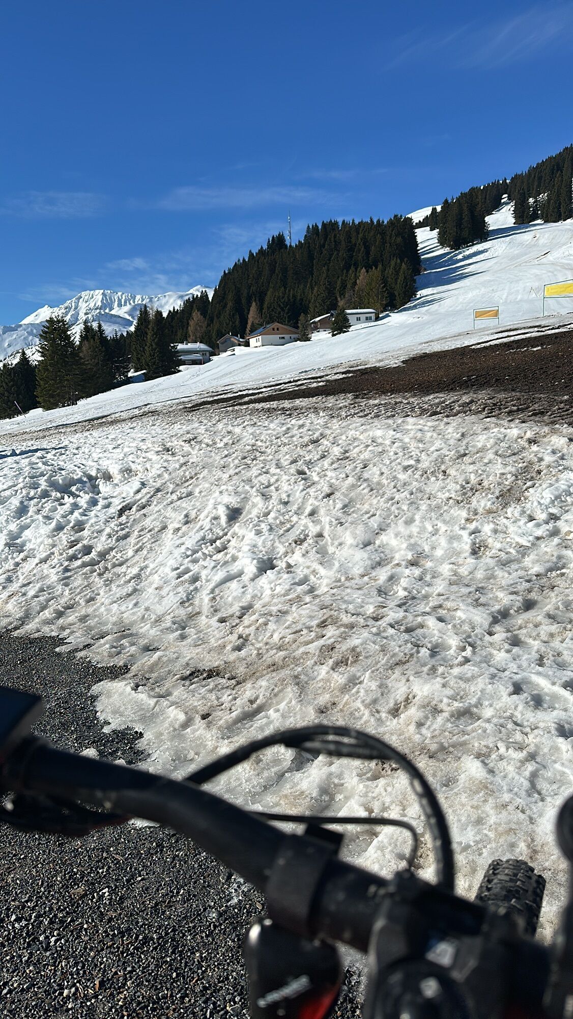
The descent leads along idyllic landscapes with snow-covered forests and Alp settlements to Mutta, where you can take a comfortable ride on the chairlift to Feldis. The terrace on the slope of the Stätzerhornkette is the northern-most location in the mountain villages of the Domleschg. Cozy restaurants with sun terraces can be found in Brambrüesch, Mutta, and Feldis for enjoyment and recreation.
Schneeschuh-Arena Dreibündenstein 1:25'000 (Schneeschuh-Verband Schweiz)
Autobahn-Ausfahrt Chur SüdStadteinwärts fahren (Kasernenstrasse)Talstation und Parkplatz liegen vor dem Stadtzentrum auf der rechten Seite
Mit dem Zug bis zum Bahnhof Chur. Von dort fährt der Stadtbus (Linie 1) in 3 Minuten bis zur Talstation der Bergbahnen (Haltestelle Stadthalle/Brambrüeschbahn).
Gäste der Chur Bergbahnen parkieren auf dem Stadthallen-Parkplatz bei der Talsation gratis. Hierfür muss die Kontrollschild-Nummer bei der Kassa zwingend angeben werden!
Webové kamery z prehliadky
Obľúbené výlety v okolí
-
4,4
4-lake hike: Caumasee - Crestasee - Felsbach Gorge
strednáTuristika 12,8 km -
4,8
Mountain hike to the Strudeltöpfe on Alp Mora: Bargis-Trin
ťažkéTuristika 18 km -
5,0
Caumasee tour: Flims - Caumasee - Conn - Flims
svetloTuristika 7,94 km -
5,0
Rhine Gorge Circular Hike
strednáTuristika 11,4 km -
5,0
Circular route: Lake Cauma - Rhine Gorge "Swiss Grand Canyon"
strednáTuristika 19,8 km -
Arosa-Schwellisee-Älplisee-Parpaner Rothorn
Turistika 12,3 km -
4,5
Drachenloch
ťažkéTuristika 9,72 km -
4,7
Arosa-Hörnli-Parpaner Rothorn-Lenzerheide
Turistika 11,9 km -
Trin Mulin - Crestasee
svetloTuristika 4,58 km -
5,0
Arosa-Hörnli-Urdenfürrgli-Alp Scharmoin-Lenzerheide
strednáTuristika 15,3 km
Turistika a stopovanie


Nenechajte si ujsť ponuky a inšpiráciu na ďalšiu dovolenku
Vaša e-mailová adresa bol pridaný do poštového zoznamu.