






Grosser Drusenturm
From the Swiss side, the Grosser Drusenturm is a pure climbing peak with an impressive south wall of nearly 500 m height. From the north, however, the summit can also be reached on skis through the Sporertobel...
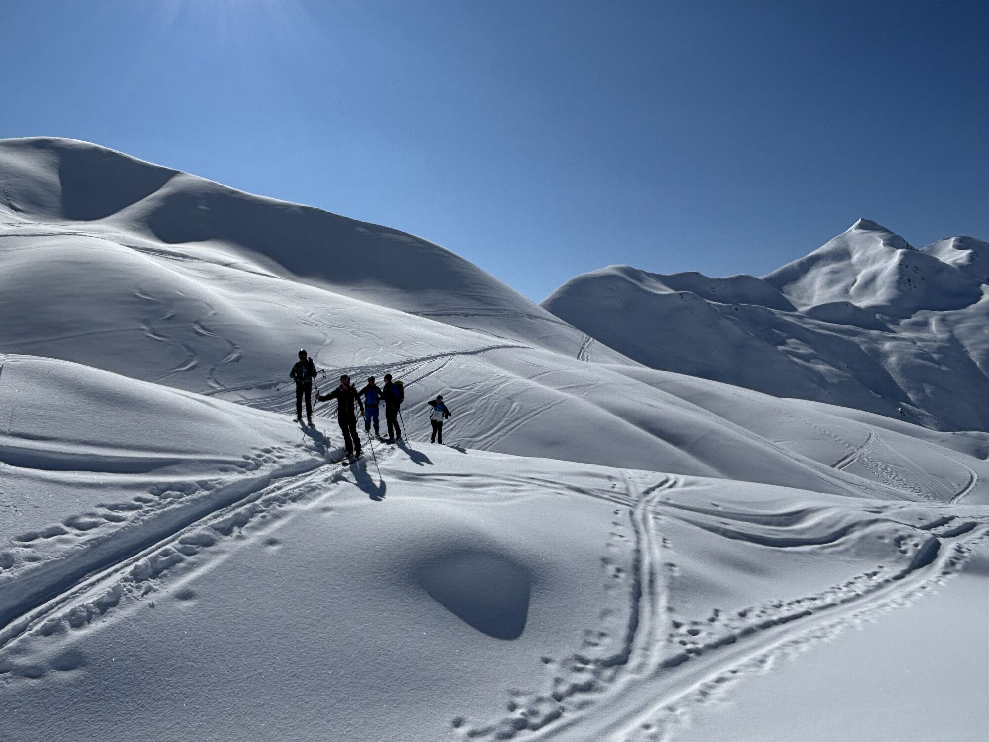
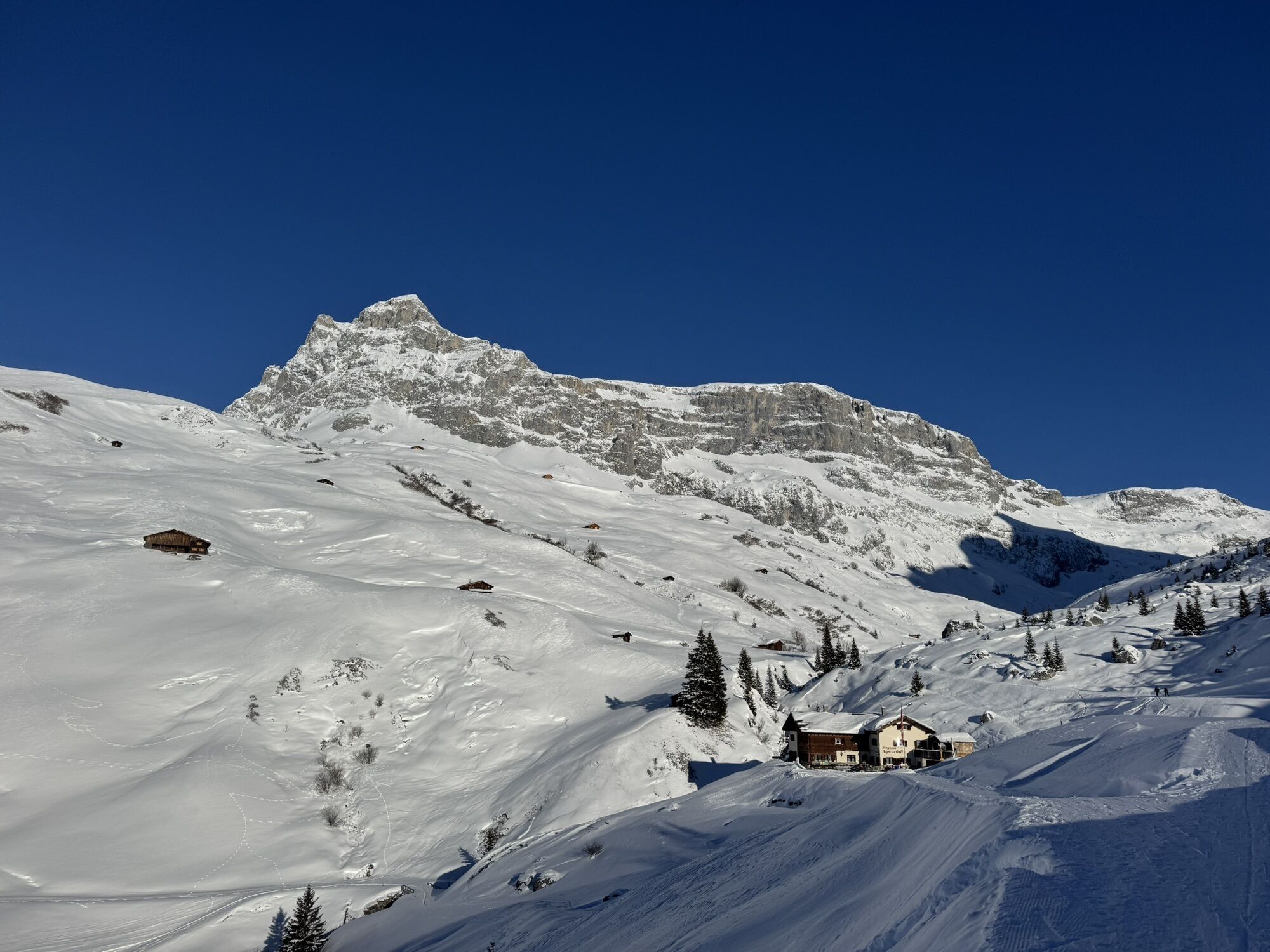
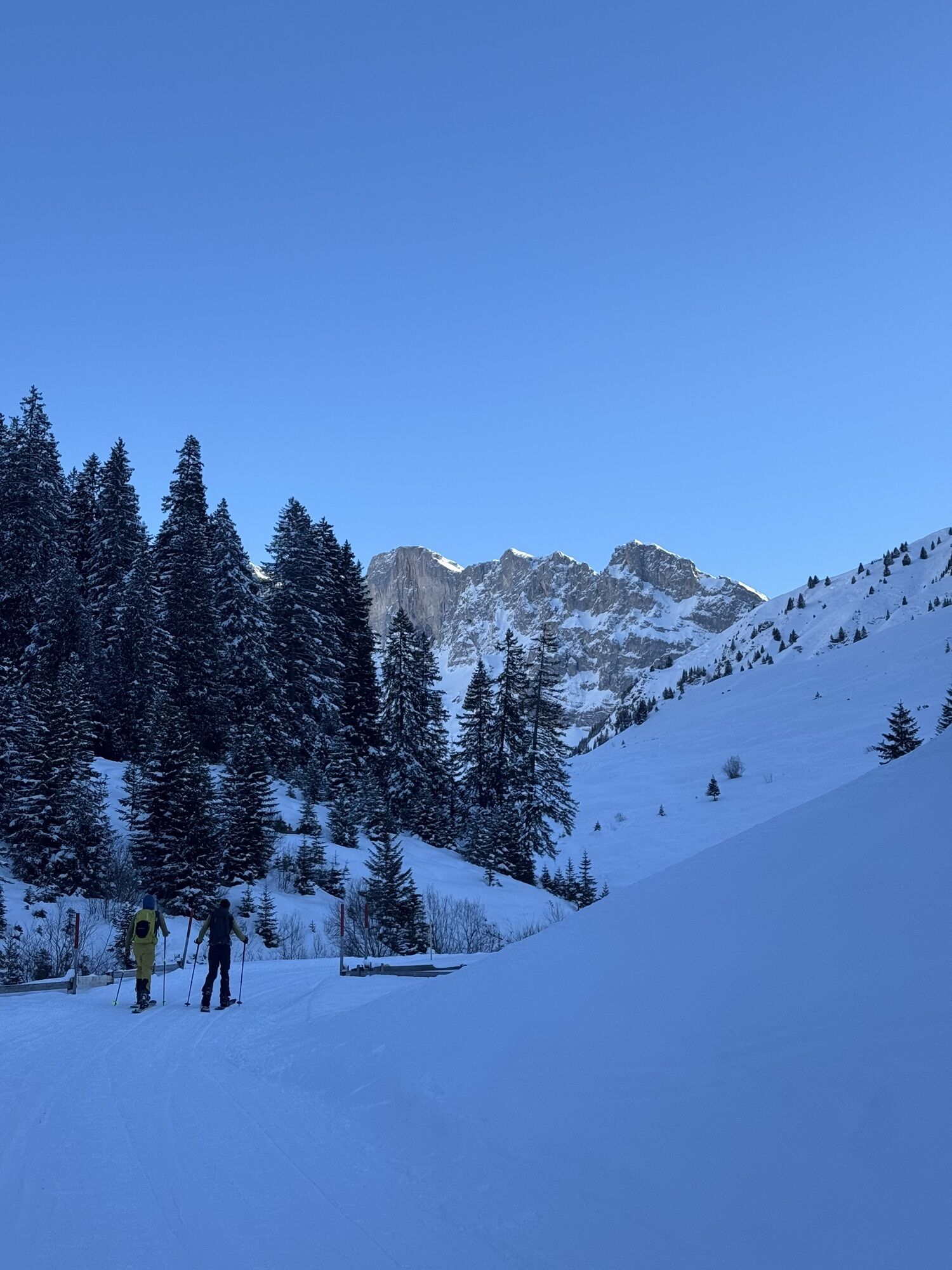
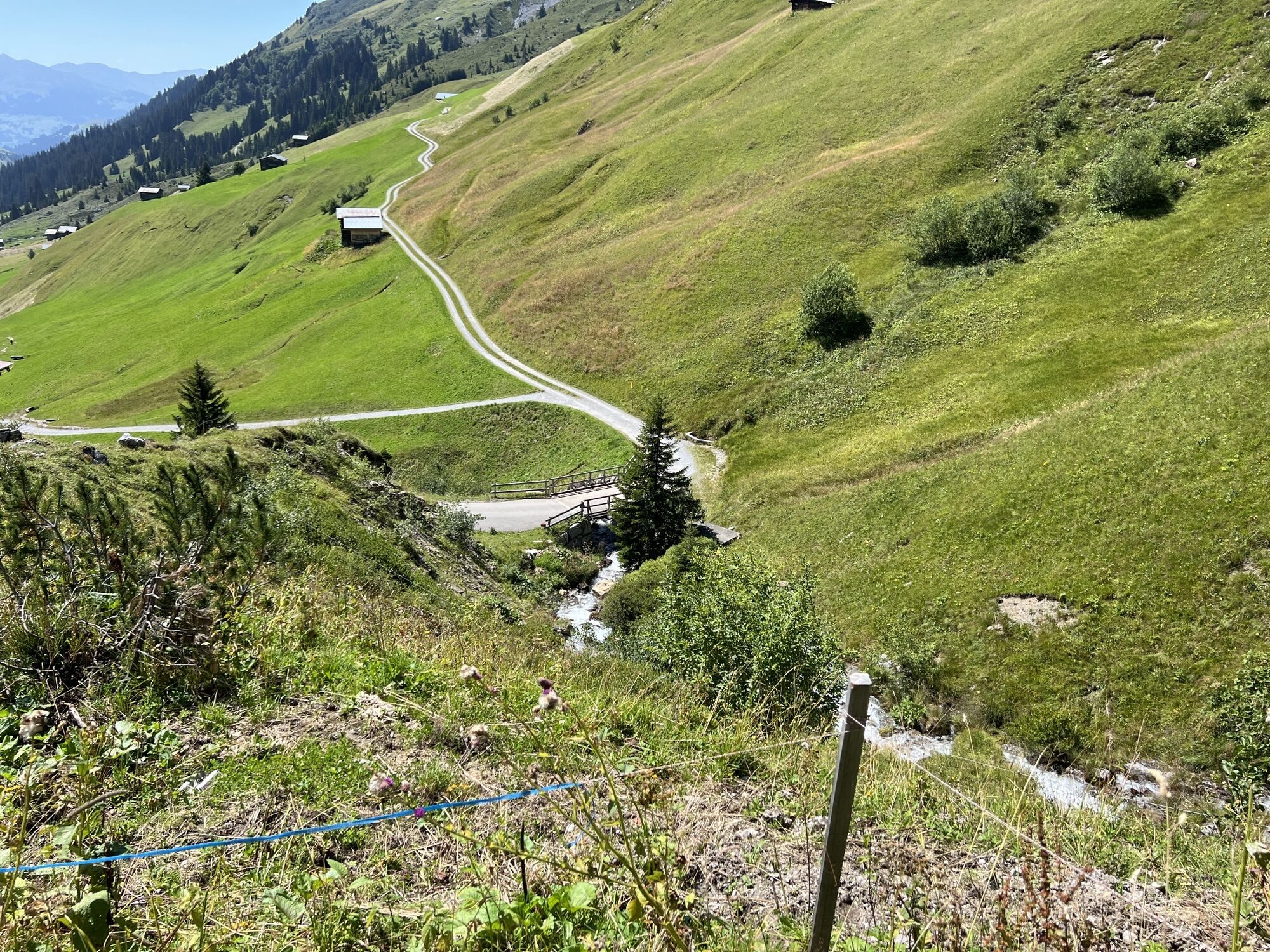
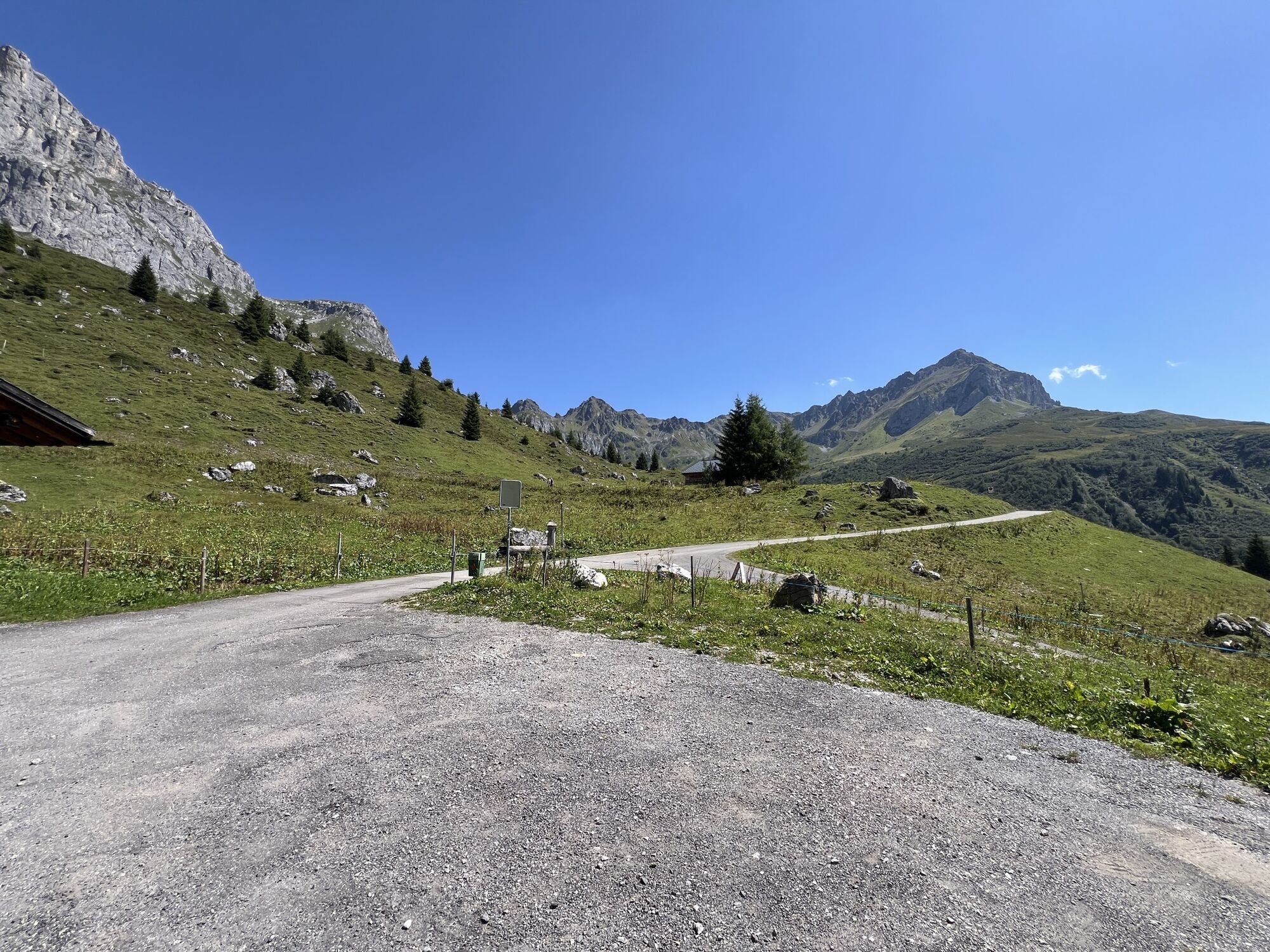
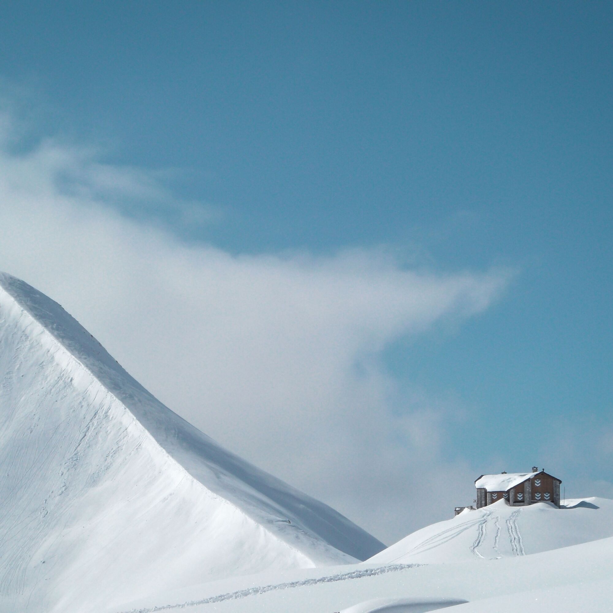
From the Swiss side, the Grosser Drusenturm is a pure climbing peak with an impressive south wall of nearly 500 m height. From the north, however, the summit can also be reached on skis through the Sporertobel (30 - 35° over 300 m), provided conditions are safe. The route goes from St. Antönien Rüti (1460 m asl) via Partnun up to the Carschinahütte SAC (2230 m asl). From the Carschinafurgga, one crosses the north slopes of the Zypärliberg to the Drusator (2341 m asl). After a short descent past the customs hut to point 2170, you ascend westward to the Sporasattel (approx. 2450 m asl), south of the Sporaturm. Up through the Sporertobel (30 - 35° over 300 m) past the Mittlerer Turm (2782 m asl) to the summit of the Grosser Turm (2830 m asl). The Grosser, Mittlerer, and Kleiner Drusenturm are summarized on the map under the term "Dri Türm". The descent follows the ascent track area or alternatively via the Lindauer huts to Tschagguns (A).

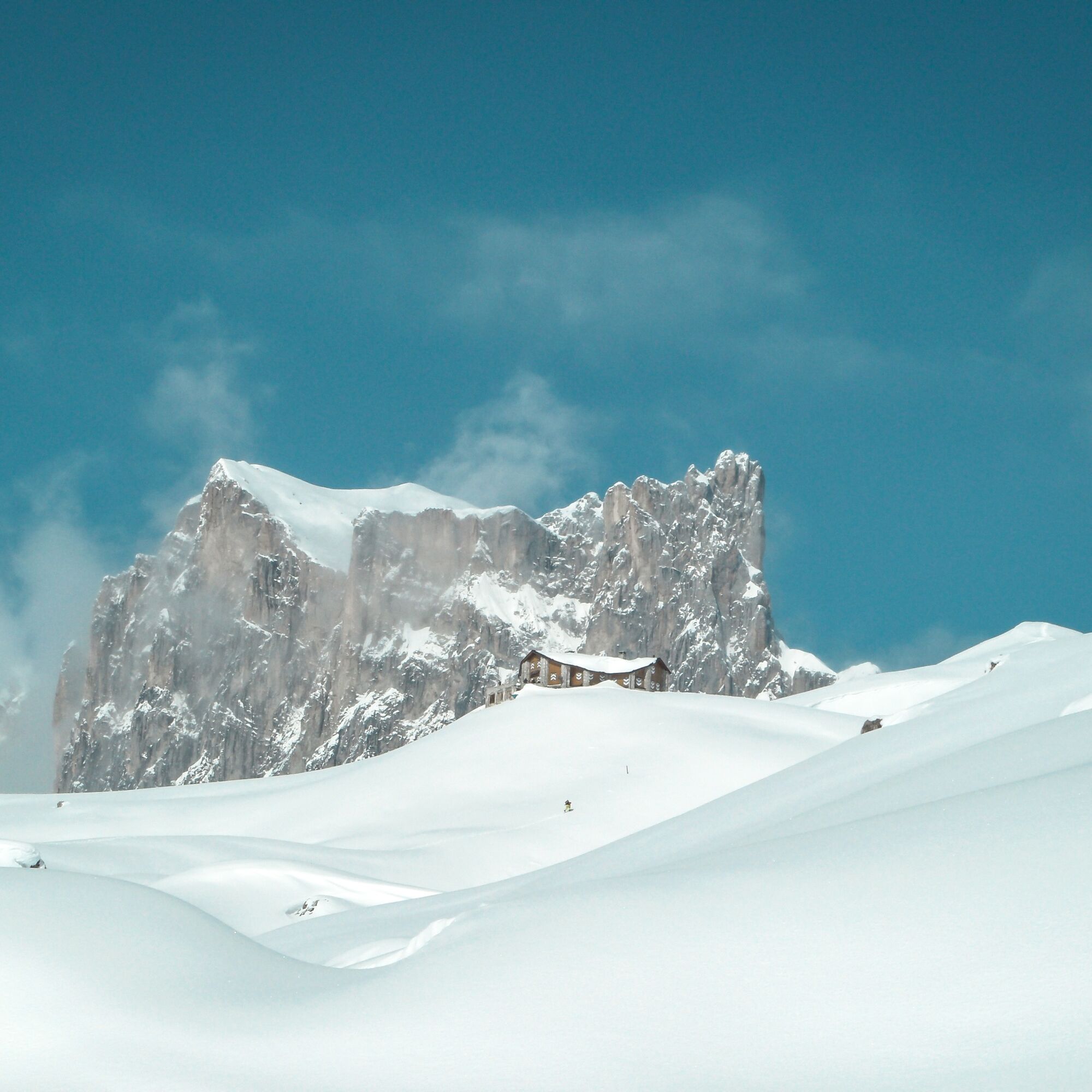

St. Antönien Rüti - Carschinahütte SAC - Drusetor - Sporertobel - Grosser Turm
Áno
Demanding alpine ski route (ZS+) in unsecured terrain. Full safety equipment (avalanche transceiver, shovel, probe) and knowledge of correct use are essential.
The ski and snowshoe routes are to be understood as general directional indications. Depending on conditions, ascent and descent routes must be adjusted. No guarantee can be given for the accuracy, completeness, and up-to-date status of the information.
Engaging in ski touring in open terrain is at your own risk. Every skier is strongly advised to prepare thoroughly, plan routes, and obtain current information on snow and avalanche conditions. Avalanche report and snow info: www.slf.ch
Any liability for accidents arising from the use of the published information and route details is expressly excluded.
On the A13 highway to Landquart, then on the N28 to Küblis, then turn left in town over the railway crossing towards Pany, Luzein, St. Antönien.
By the Rhaetian Railway RhB to Küblis and by postbus to St. Antönien.
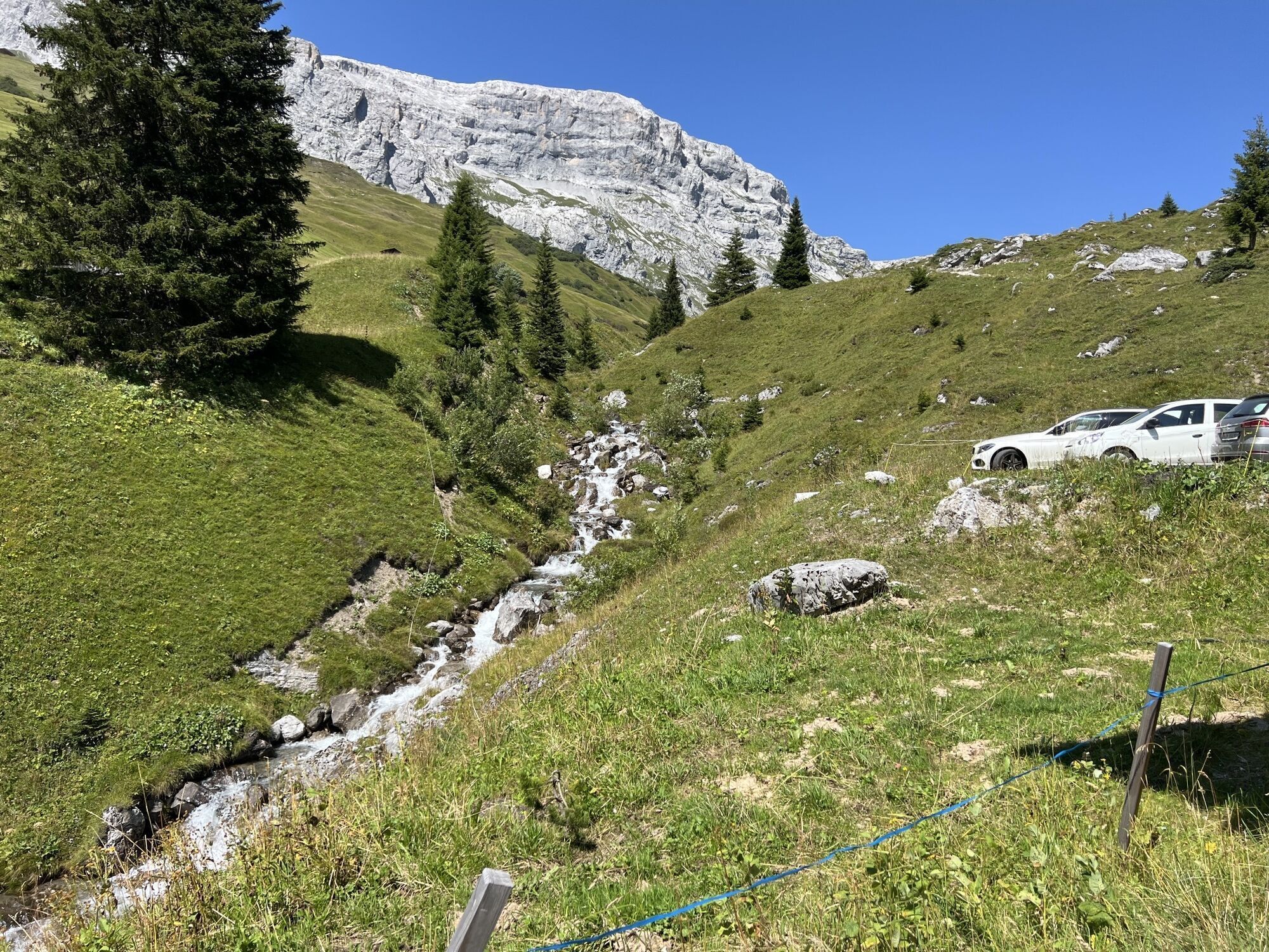
All parking spaces in St. Antönien require a fee. Payment at the parking lots can be made by cash, Parkingpay app, Easy-Park or Twint.
Prättigau Marketing
Feldweg 19
CH-7233 Jenaz
info@praettigau.info
www.praettigau.info
Získajte prehľad
Vždy naživo na mieste s viac ako 9 500 webovými kamerami. bergfex Ako používateľ Pro si teraz môžete pozrieť príslušné webové kamery pre mnohé zájazdy v aplikácii zájazdy z. Môžete si tak priamo prezerať aktuálne podmienky.
Obľúbené výlety v okolí
-
5,0
Ski tour to the Lindauer Hut (1,744 m)
svetloSkitour 14,0 km -
4,7
Smuggler’s path
strednáTematická trasa 8,60 km -
4,4
Golm-Rundwanderweg im Rätikon
strednáTematická trasa 7,28 km -
4,9
Douglasshütte, Lünersee, Gafalljoch Brand bei Bludenz, Vorarlberg
svetloTuristika 9,16 km -
4,7
Over the historic mine and Fritzensee to Rellseck
strednáTuristika 7,25 km -
4,3
Golmerbahn Bergstaion Grüneck - Golmer Höhenweg - Geißspitze - Lindauer Hütte - Latschau
strednáTuristika 11,5 km -
4,5
Madrisella summit path
strednáTematická trasa 10,8 km -
4,9
Alpgues Runde
strednáTuristika 9,21 km -
4,8
Douglashütte - Schesaplana
strednáTuristika 7,31 km -
3,0
Bergstation Grüneck Golmerbahn - Alpe Latschätz - Lindauer Hütte - Latschau
svetloTuristika 11,1 km
Turistika a stopovanie


Nenechajte si ujsť ponuky a inšpiráciu na ďalšiu dovolenku
Vaša e-mailová adresa bol pridaný do poštového zoznamu.





