



Um Su from Lumbrein

Úroveň náročnosti: PD-
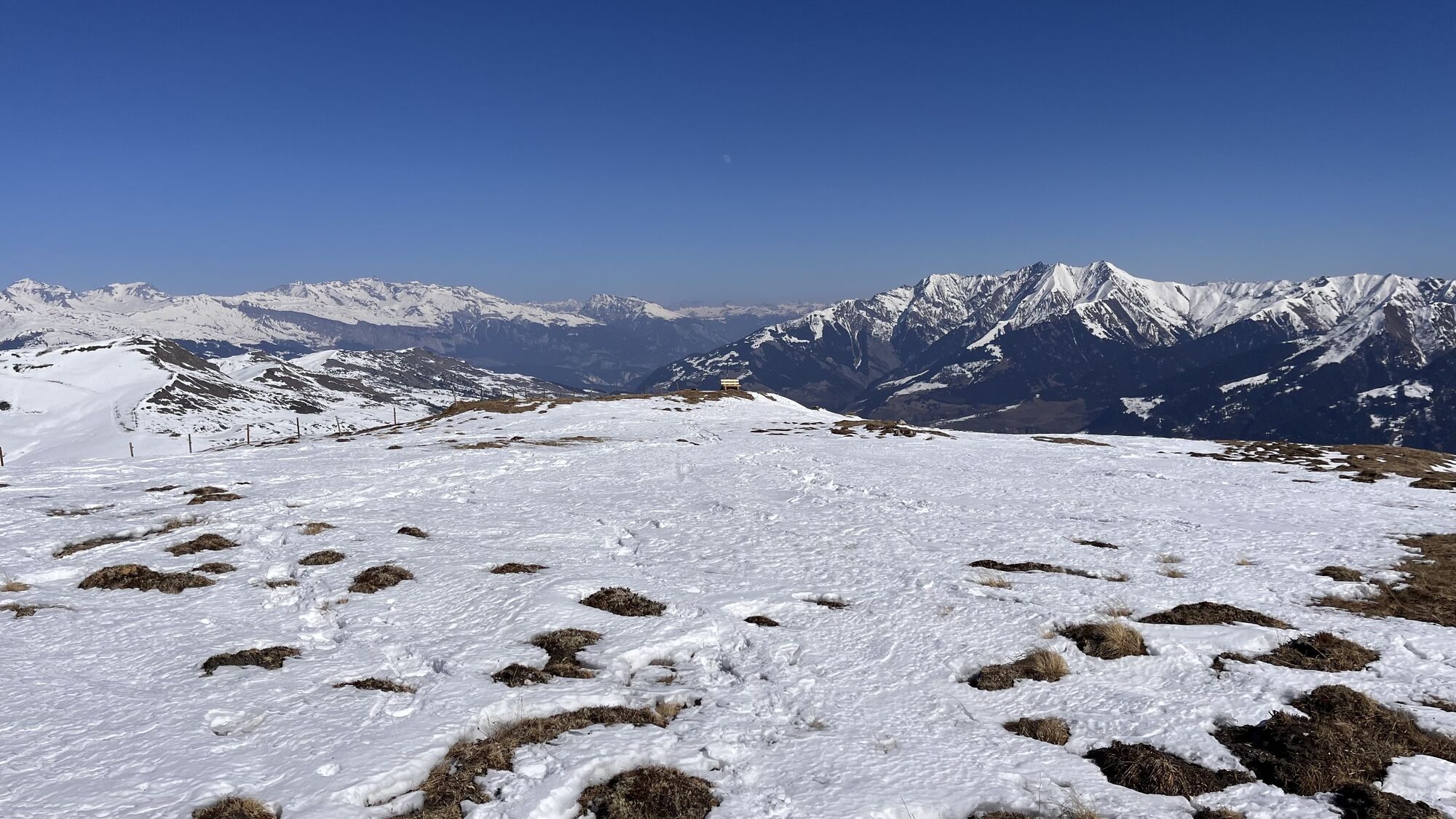
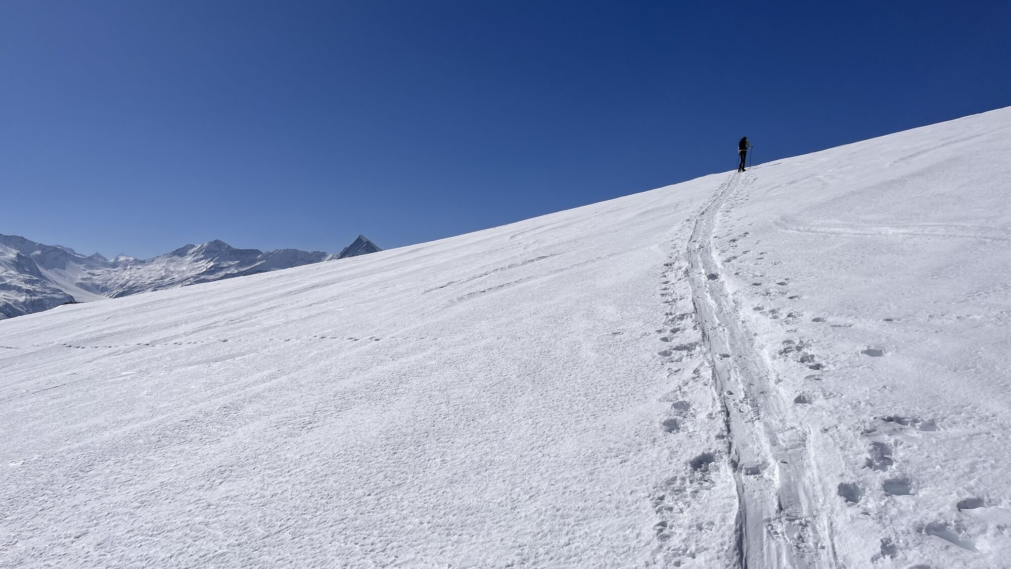
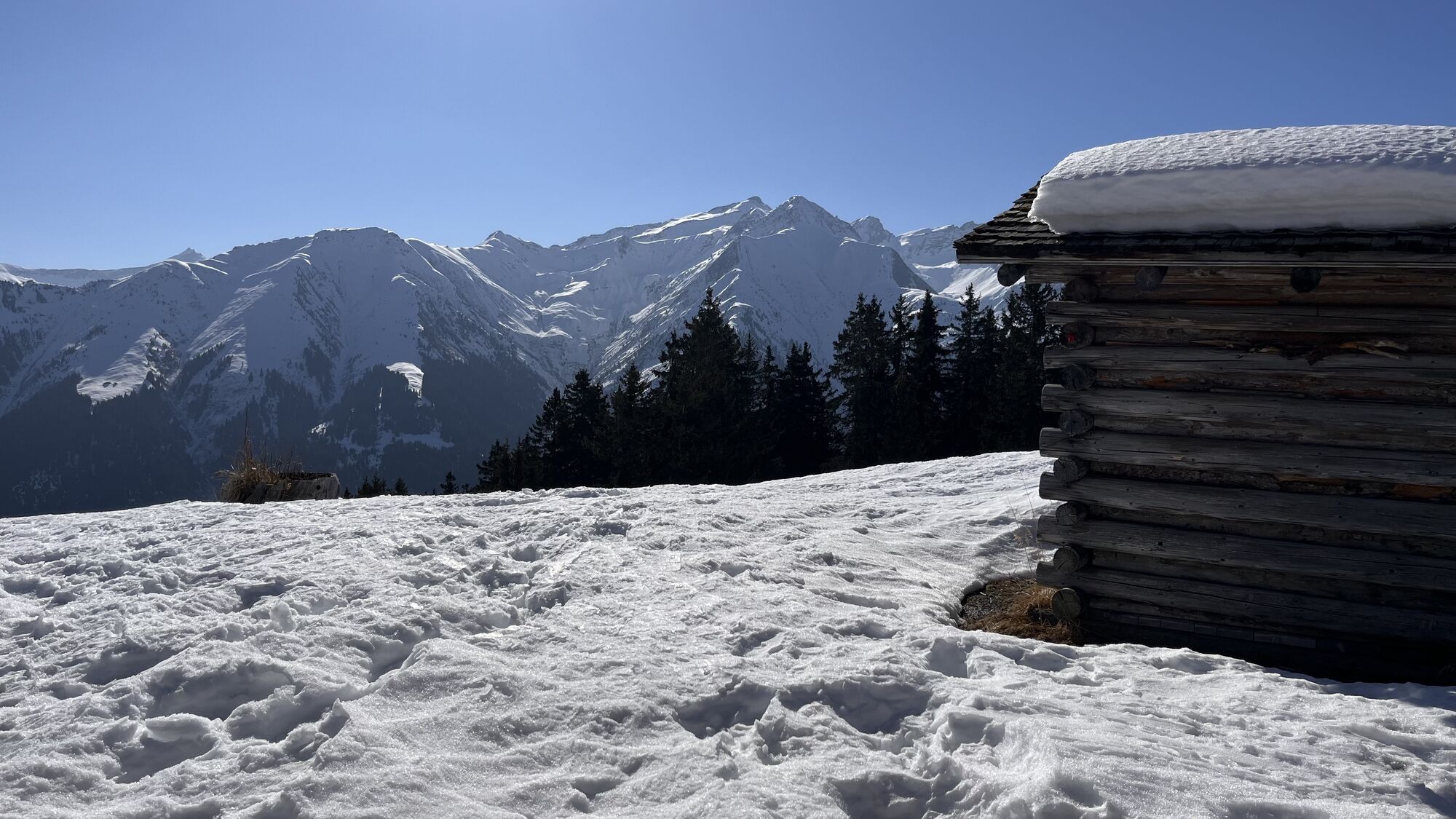
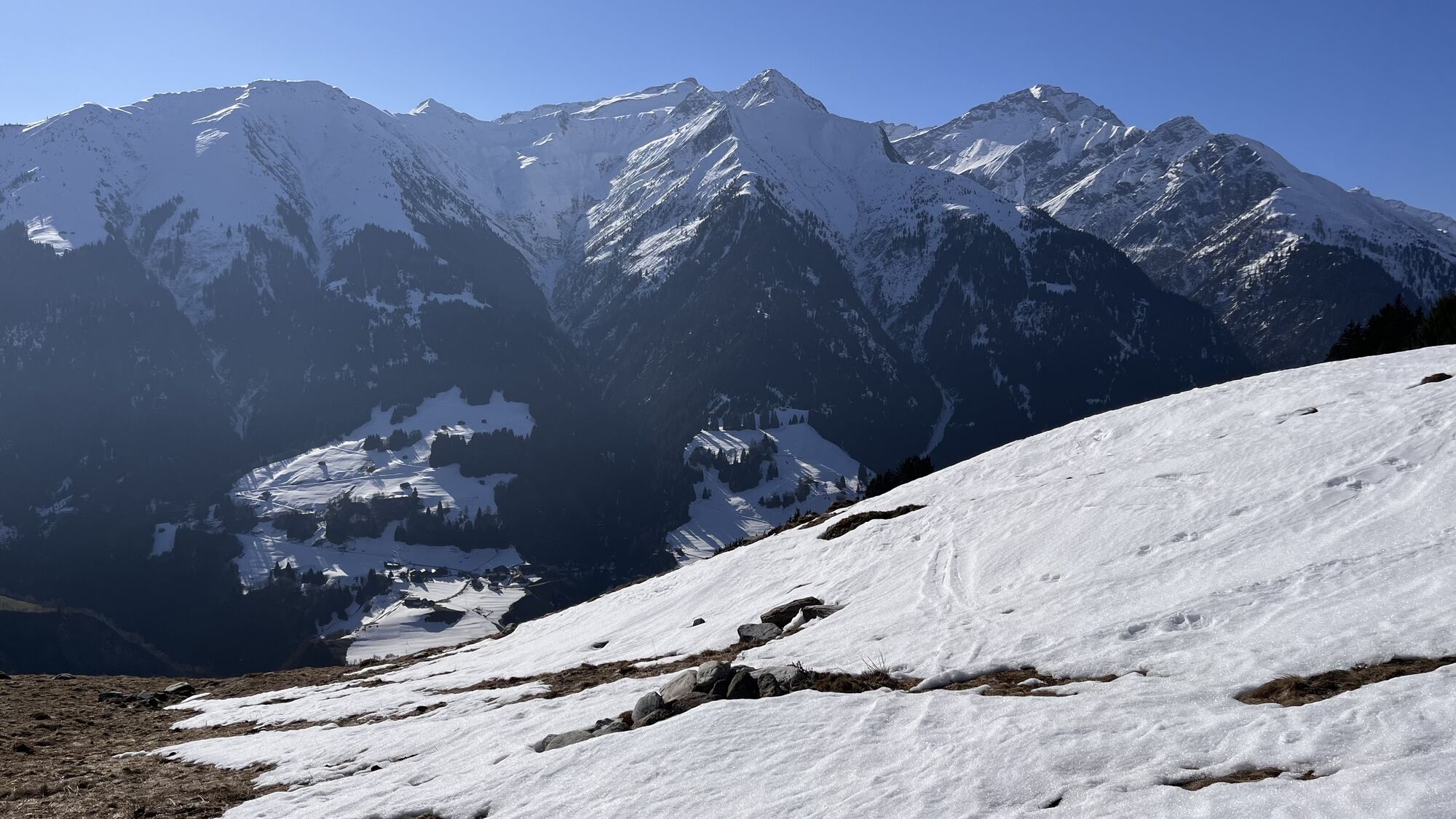
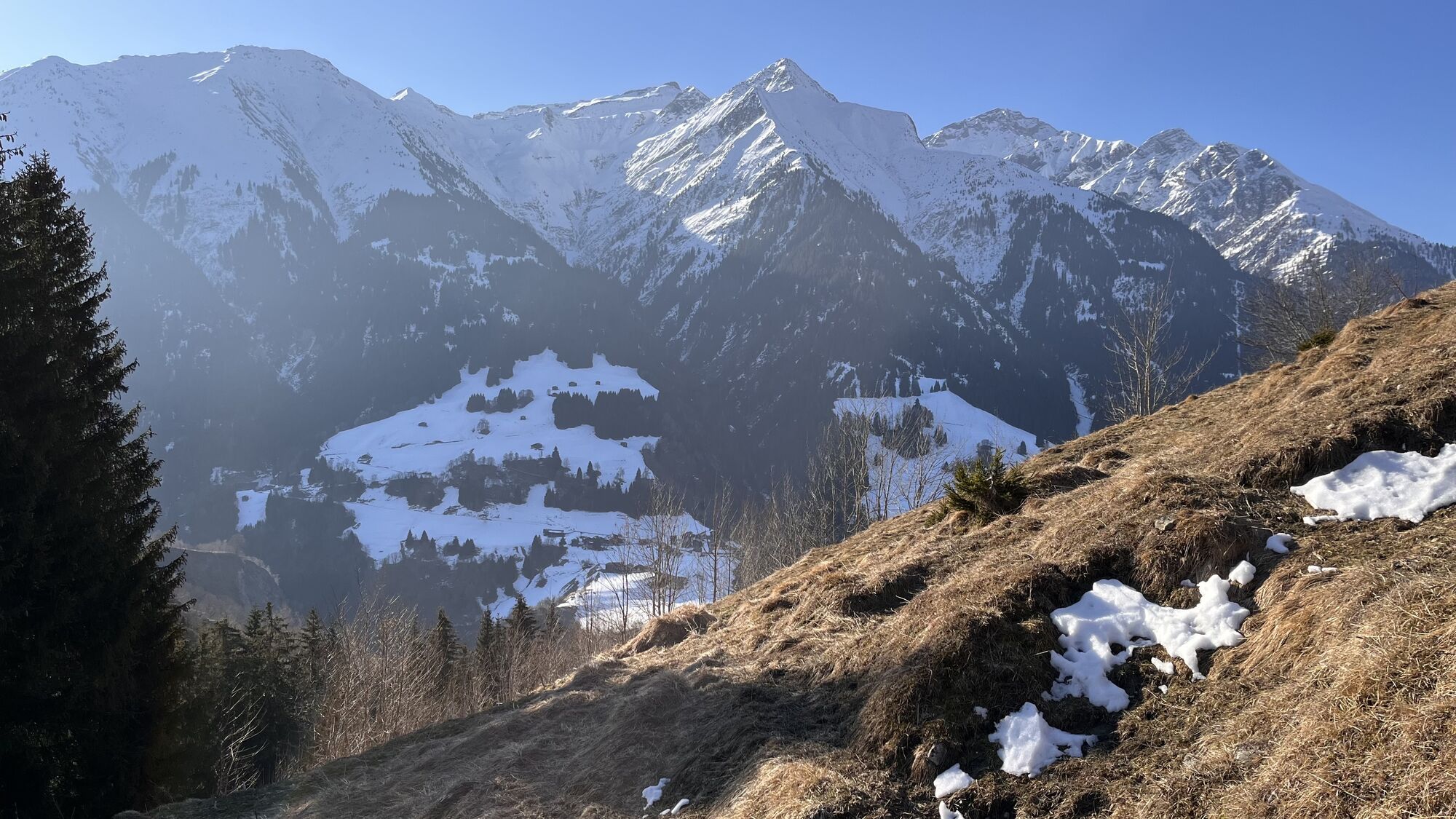
A road curve below Lumbrein, in the Val da Mulin, marks the start of the route. The steepest meters come right at the beginning. Then the route rises gently and leaves plenty of room for route choice....
A road curve below Lumbrein, in the Val da Mulin, marks the start of the route. The steepest meters come right at the beginning. Then the route rises gently and leaves plenty of room for route choice. After the usual "jacket break" at Plaun d'Urdien, you steadily and evenly gain altitude meter by meter. At 2100 meters, you can cross to the small Maiensässhüttli - the ascent track often leads past it - and take a refreshment break. On the last 250 meters of elevation gain, the terrain remains similarly steep, but the atmosphere becomes increasingly impressive. One surrounding summit after another comes into view. The spacious and flat summit is marked by a small stone cairn.
The descent offers many variations and can be exactly on the ascent route. However, the terrain allows enough space for smaller variants. Except near Plaun d'Urdien, the wildlife protection zone comes close to the route to the south and requires careful route selection.



Lumbrein / Val da Mulin - Plaun d'Urdien - Alp da Lumbrein - Um Su - Descent along the ascent route.
Áno
Áno
See safety notice
Ski and snowshoe routes in unsecured terrain require good knowledge in avalanche hazard assessment and tour planning. Furthermore, a complete safety equipment must always be carried - regardless of the current avalanche danger.
We recommend preparing and planning the tour with the app and website of WhiteRisk.
For carefree enjoyment, we recommend our mountain guides and snowshoe hiking leaders of the Surselva.
From Ilanz towards Vella and further to Lumbrein.
From Ilanz by post bus to Lumbrein, vitg, about 5 minutes on foot to the start or to the stop Lumbrein spv Surin.
During the winter season, the post bus on the Ilanz - Vrin line and on all other lines of the entire Lumnezia municipal area can be used free of charge by everyone.
At the school or in the village center of Lumbrein.
PD-
Under safe conditions, you can descend from the summit or Alp Staviala Vedra southwards to Nussaus or to P.1435. Please also note the extensive wildlife protection zone.
Obľúbené výlety v okolí
-
5,0
High valley Val Frisal
ťažkéTuristika 12,4 km -
5,0
Panorama route
svetloTuristika 5,39 km -
5,0
2-day hike Greina high plateau
ťažkéTuristika 15,5 km -
Piz Fess 2880m, the proud one
ťažkéTuristika 12,8 km -
5,0
Hiking route Suspension Bridge Val da Tersnaus
strednáTuristika 3,24 km -
4,7
Dutjer Alp - magnificent view
strednáTuristika 8,23 km -
3,3
3-lake hike
strednáTuristika 12,8 km -
Giro della Greina
Turistika 50,6 km -
Panoramic route between Piz Mundaun and Péz Sezner
strednáTuristika 6,75 km -
5,0
Winter hike Gadastatt - Frunt - Zerfreila (Panorama trail)
svetloZimná turistika 5,36 km
Turistika a stopovanie


Nenechajte si ujsť ponuky a inšpiráciu na ďalšiu dovolenku
Vaša e-mailová adresa bol pridaný do poštového zoznamu.


