


Ski route: Segneshütte - Piz Segnas
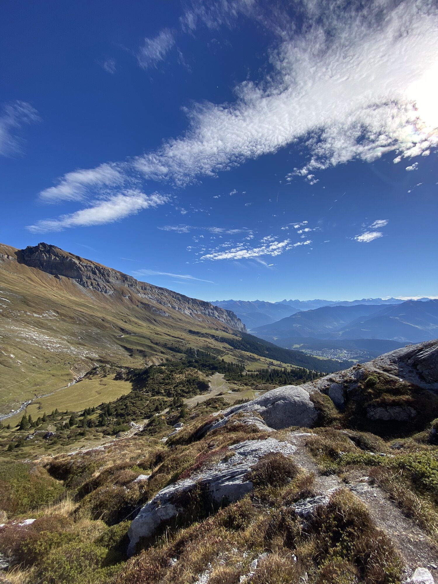
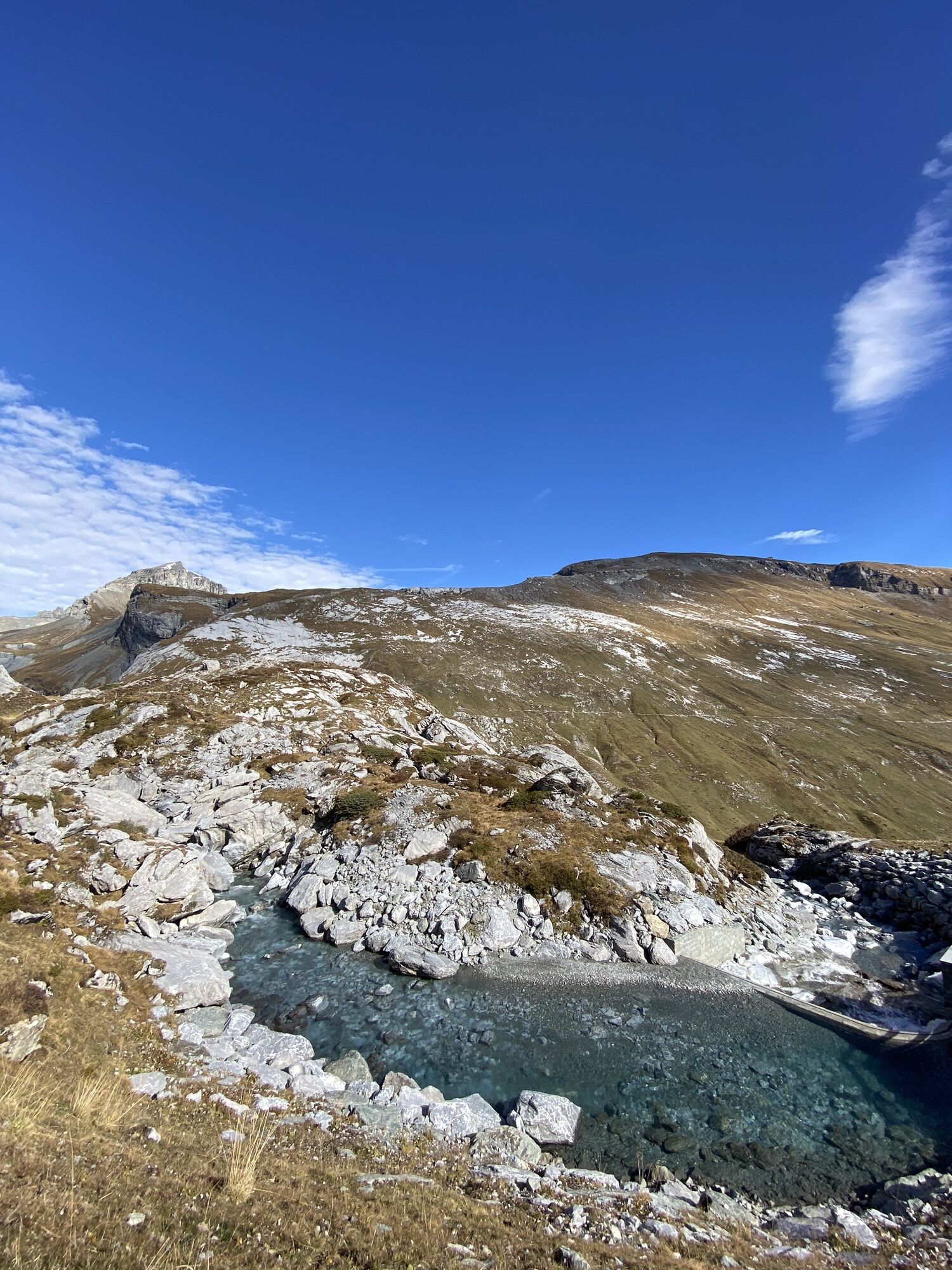
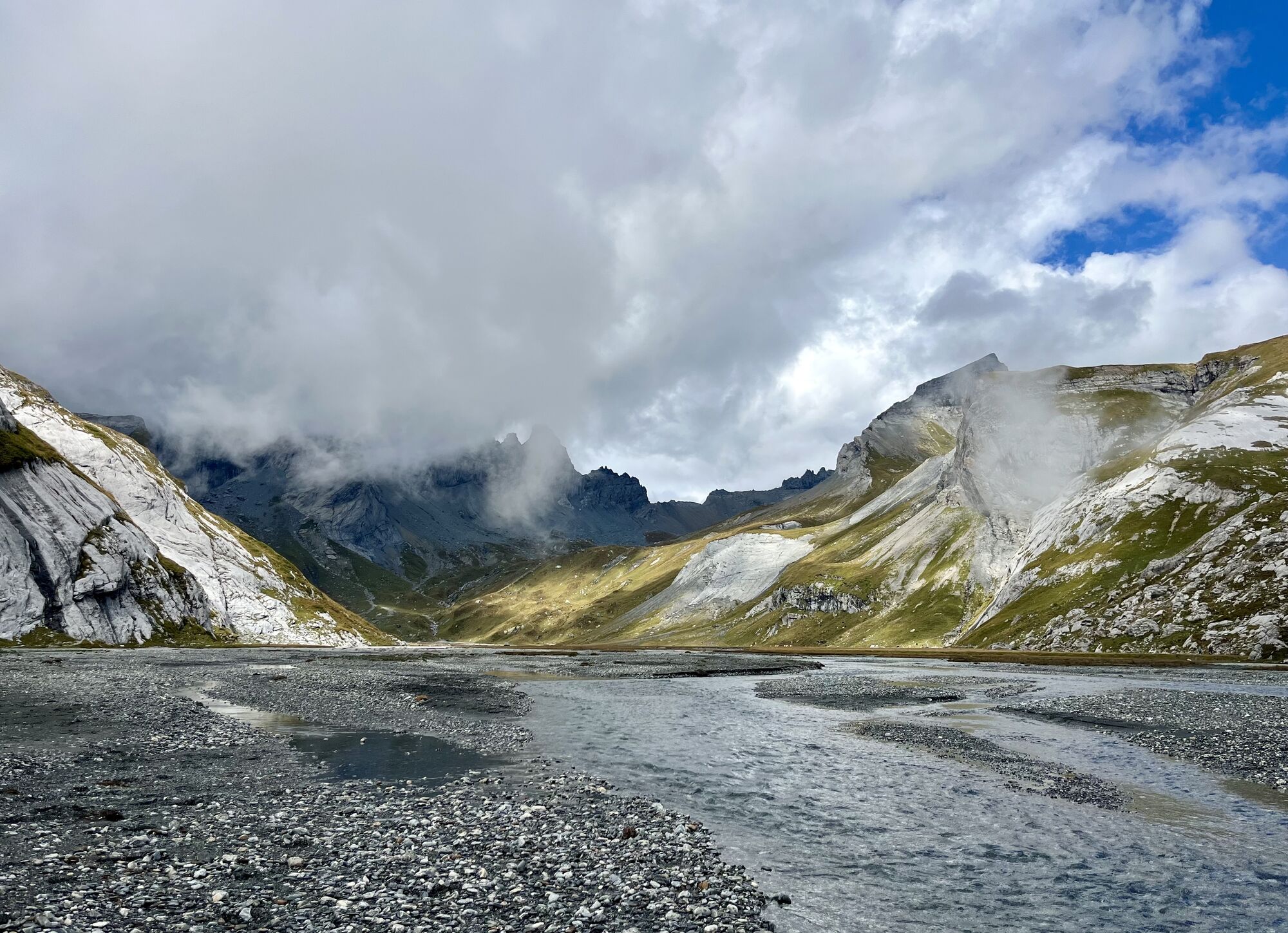
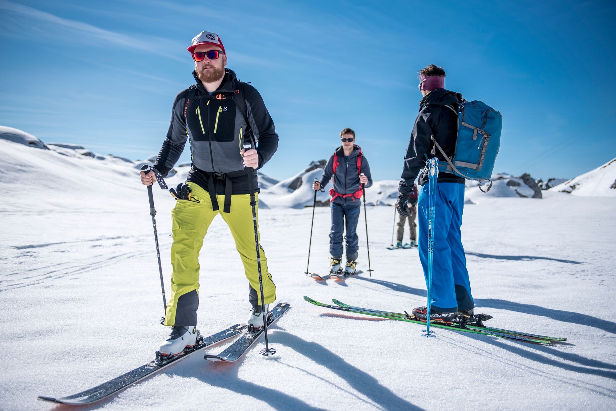
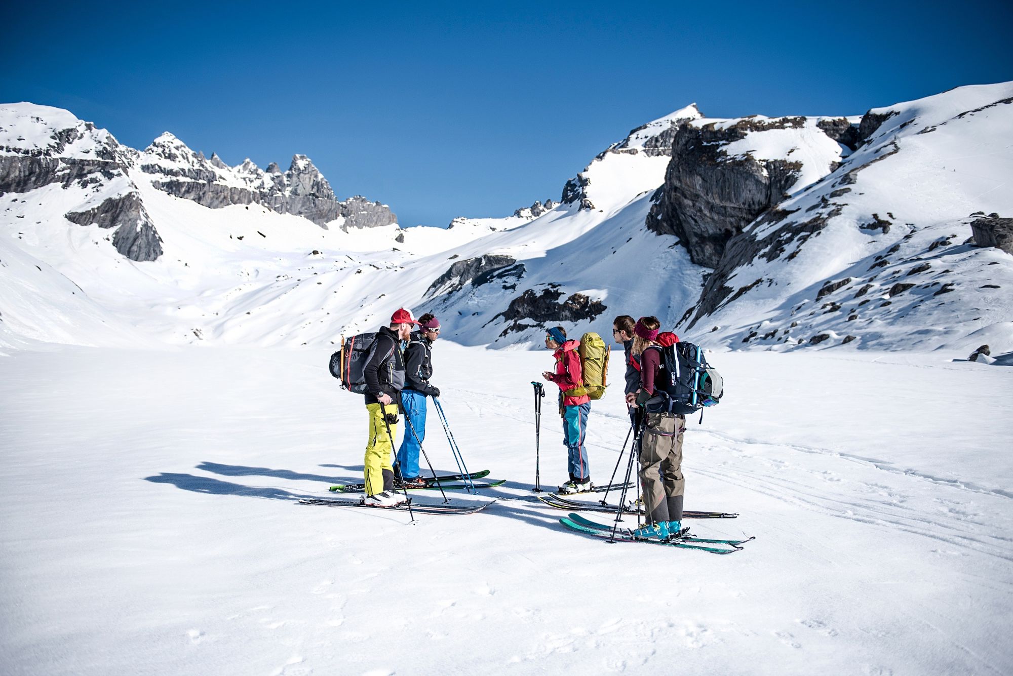
First over flat terrain via the lower Segnesboden, from point 2092 continue northeast along the slightly rolling ascent towards the upper Segnesboden. With skillful route choice and careful assessment...
First over flat terrain via the lower Segnesboden, from point 2092 continue northeast along the slightly rolling ascent towards the upper Segnesboden. With skillful route choice and careful assessment of the terrain, a line choice that just barely does not exceed 30 degrees is possible. Then continue over the flat upper Segnesboden and then increasingly uphill in northwestern direction to the Surenjoch. With partially 45° steep sections, the key point of the ski route. After a further 157 m in southern direction along the ridge, you reach the 3099 m high summit of Piz Segnas. Descent along the ascent route. Alternatively, Piz Sardona can still be done.

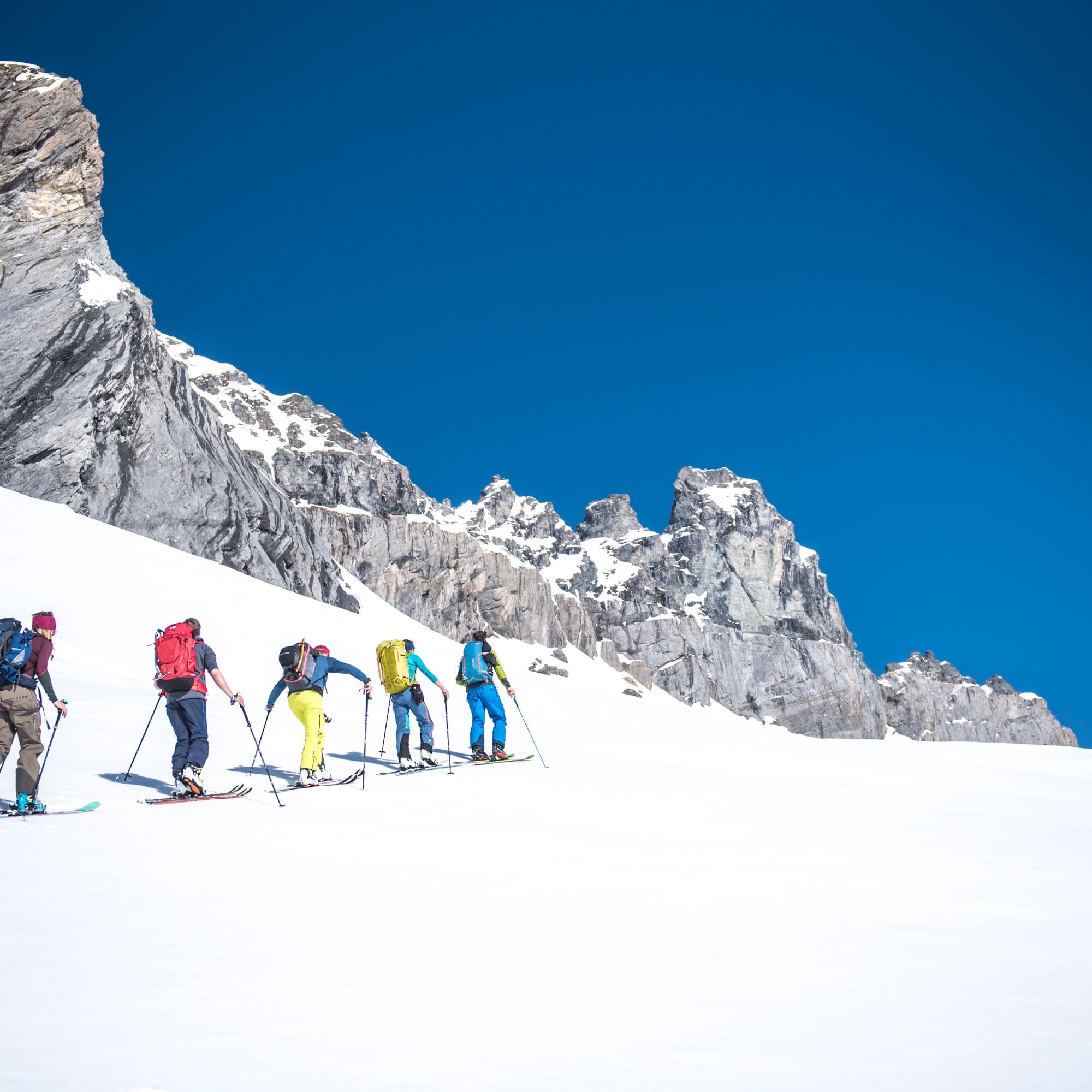
Segneshütte - lower Segnesboden - upper Segnesboden - Surenjoch - Piz Segnas
Áno
Áno
Áno
The question of the right equipment for ski routes is not easy to answer! It depends on the season and weather conditions as well as the type and duration of the route. Furthermore, the difficulty, altitude, and other factors must be considered! Basically: as little as possible, as much as necessary!
Hardware
Ski touring skis
Touring bindings
Skins for the skis
Poles (ideally telescopic poles with large baskets to prevent sinking in deep snow)
Crampons
Backpack with 25 to 35 liters of volume and attachment options for skis or snowboard
Weatherproof winter clothing
Touring jacket (e.g. soft and/or hardshell)
Warm touring pants that are wind- and water-resistant (e.g. soft or hardshell pants)
Functional ski base layers
Fleece jacket
Ski socks
Thick and thin gloves
Headband and hat
Sunglasses
Food & Drink
Water (at least two to three liters per person)
Thermos flask with a hot drink
Several small meals (e.g. nuts, energy bars, chocolate, banana)
Glucose
Miscellaneous
Sunscreen with a high SPF
Detailed map material
Compass
Altimeter
Watch
Headlamp
Spare batteries
Cell phone
First aid kit
Emergency equipment
Avalanche transceiver (LVS)
Probe
Shovel
Legal note - Disclaimer / Liability
Ski and snowshoe route
The ski and snowshoe routes are to be understood as general indications. Depending on conditions, ascent and descent routes must be adapted. No guarantee can be given for the accuracy, completeness, and timeliness of the information.
Engaging in ski touring in open and unsecured terrain is at your own risk. Each route user is strongly advised to prepare thoroughly, plan the route, and obtain current information on snow and avalanche conditions.
Liability for accidents resulting from the use of the published information and route indications is excluded.
This route description and any markings in the terrain do not constitute a route recommendation. Every decision to proceed lies solely with the individual route user. It is strongly advised not to attempt routes in poor weather and visibility conditions (fog, snowfall, etc.) or under increased avalanche danger. Attention spring conditions: From about March and generally on warm and/or very sunny days, routes must be ended early.
Inform yourself before each tour about the current snow and avalanche situation at www.slf.ch/lawinenbulletin
We recommend completing ski and snowshoe tours in alpine and high alpine terrain with a mountain guide.
It is each tour user's responsibility to equip themselves fully and inform themselves about snow and avalanche conditions before the tour. Flims Laax Falera Management AG accepts no liability.
By car on highway A13 from Zurich, exit 18 towards Disentis/Mustér/Ilanz/Flims.
Train to Chur, then PostBus to Flims Bergbahnen stop.
750 parking spaces in the Flims Bergbahnen parking garage (Stenna Center), payable
Guest information
Flims Laax Falera
Via Nova 62
CH-7017 Flims
Tel: +41 (0)81 920 92 00
E-mail: info@flimslaax.com
Internet: www.flimslaax.com
Those who want to do a second summit can still climb Piz Sardona.
Webové kamery z prehliadky
Obľúbené výlety v okolí
-
4,5
4-lake hike: Caumasee - Crestasee - Felsbach Gorge
strednáTuristika 12,8 km -
4,8
Rheinschlucht: From Ilanz to Versam into the heart of the Rheinschlucht
strednáTuristika 11,4 km -
4,8
Rhine Gorge Hike: Senda Ruinaulta (659)
svetloTuristika 9,39 km -
4,7
The Water Trail: Trutg dil Flem 764
ťažkéTematická trasa 8,56 km -
5,0
Caumasee tour: Flims - Caumasee - Conn - Flims
svetloTuristika 7,94 km -
4,7
Mountain hike to the Strudeltöpfe on Alp Mora: Bargis-Trin
ťažkéTuristika 18 km -
4,5
Waterfall Arena Batöni
strednáTuristika 8,24 km -
5,0
Lower Segnesboden: Nagens Sura - Lower Segnesboden - Segnes hut - Alp Nagens
strednáTuristika 6,66 km -
4,5
St. Martin - Alp Sardona - St. Martin
strednáTuristika 14,2 km -
4,3
Circular hike: Falera-Curnius-Alp Dadens-Falera
strednáTuristika 11,4 km
Turistika a stopovanie


Nenechajte si ujsť ponuky a inšpiráciu na ďalšiu dovolenku
Vaša e-mailová adresa bol pridaný do poštového zoznamu.