






Arlenwald Runde (Helsana Trail)
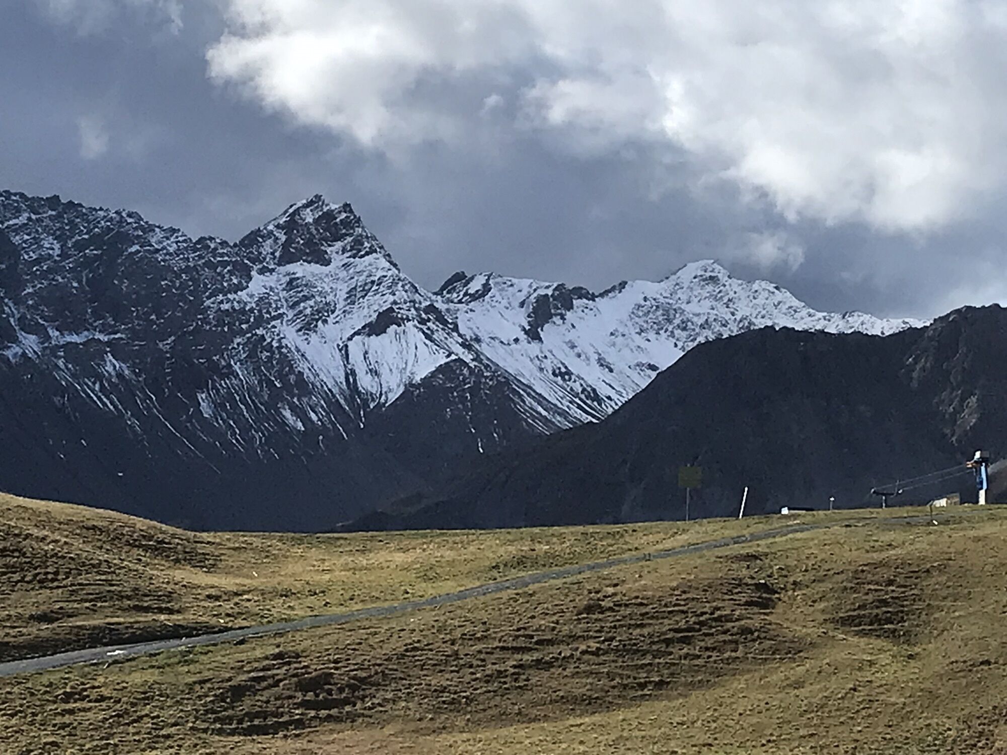
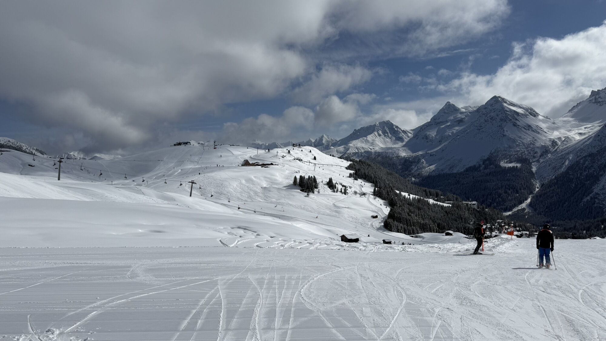
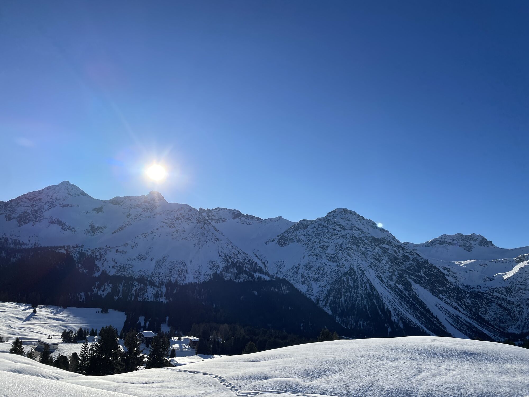
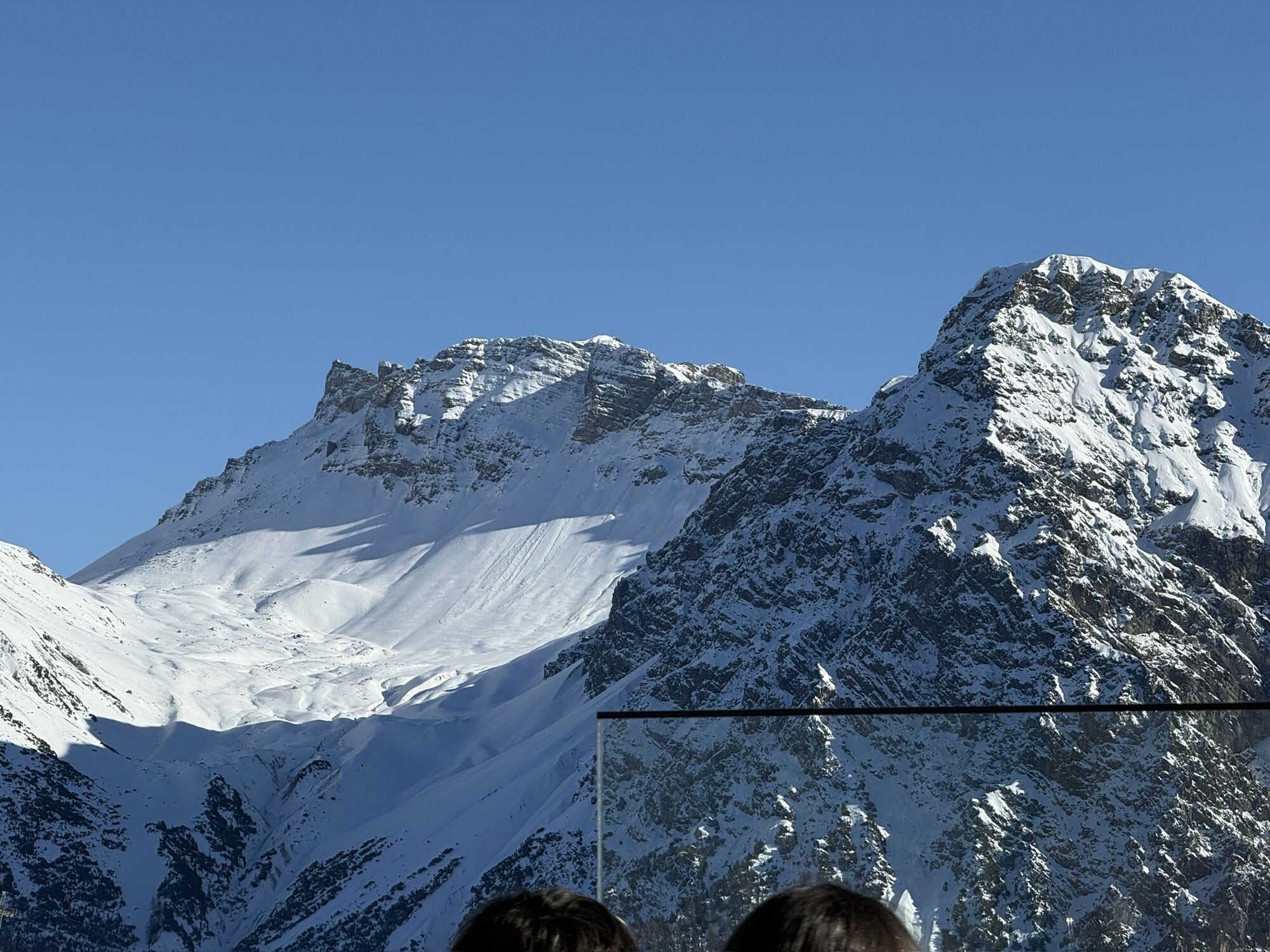
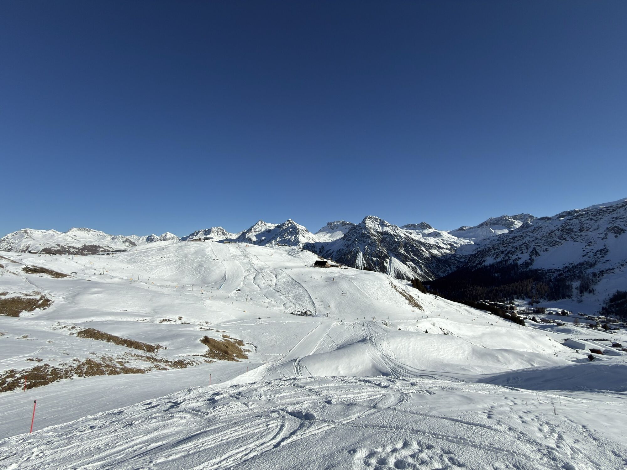


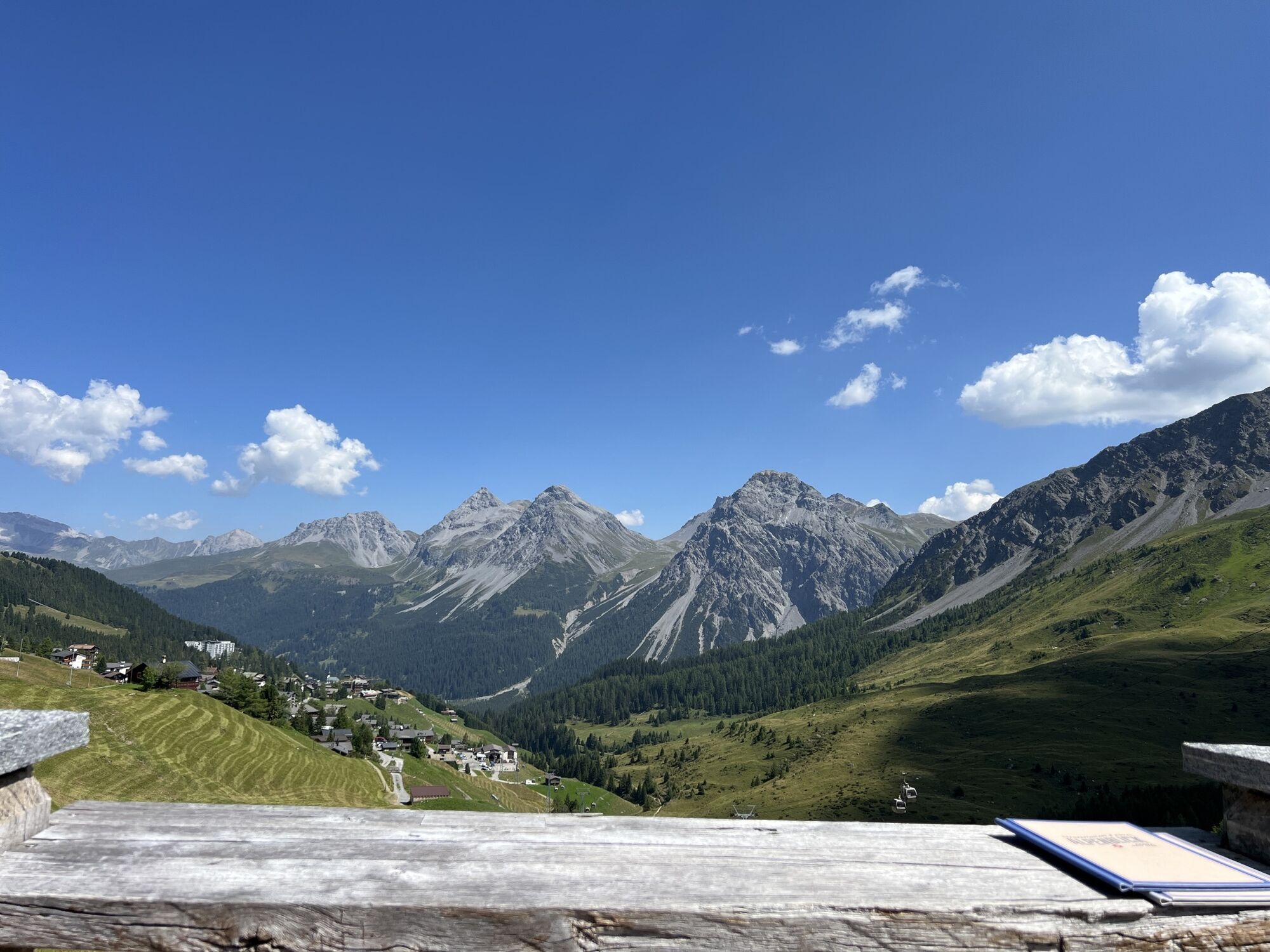
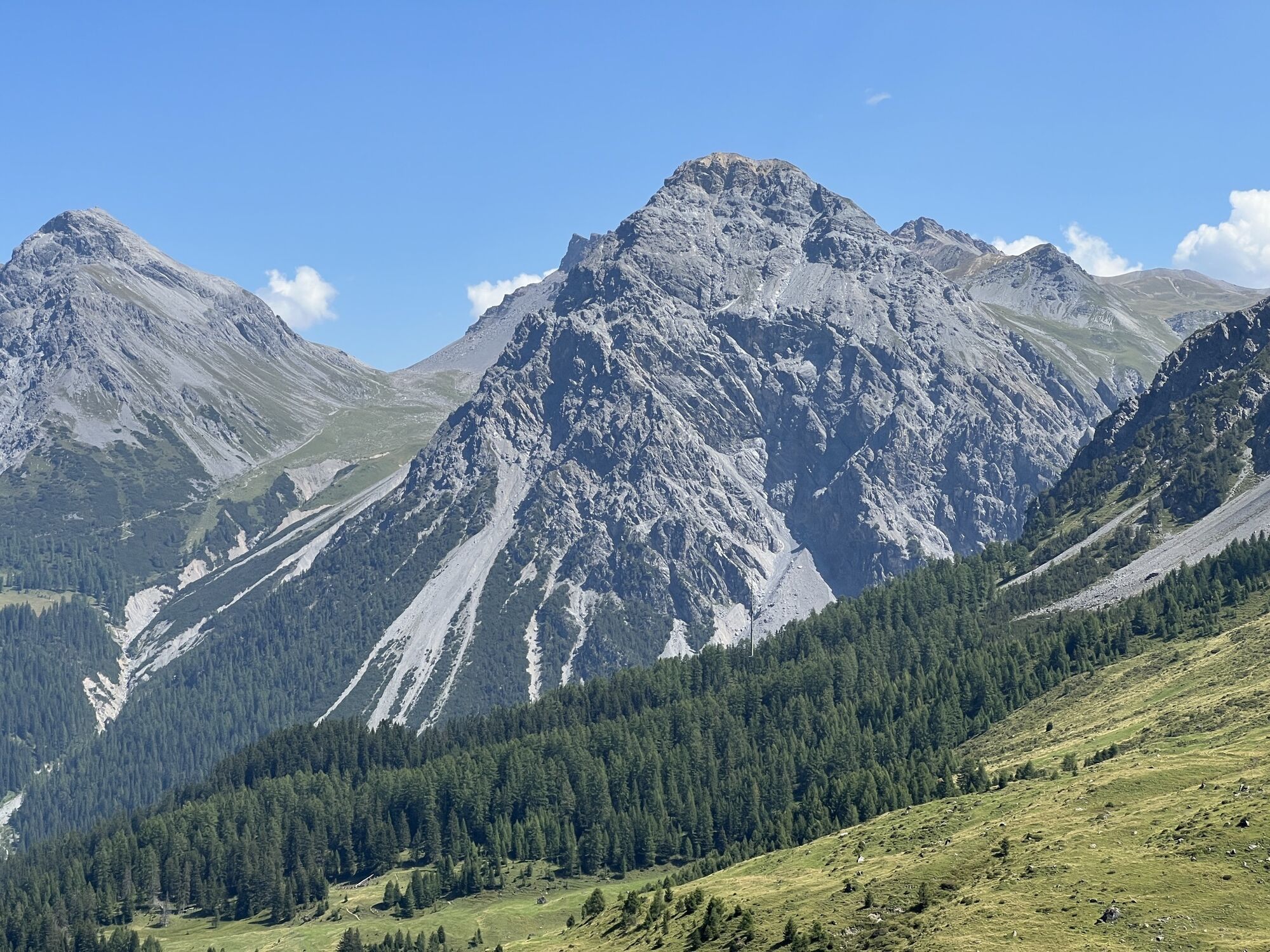
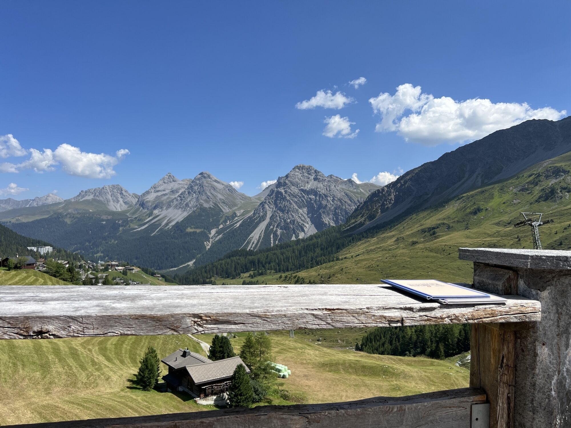
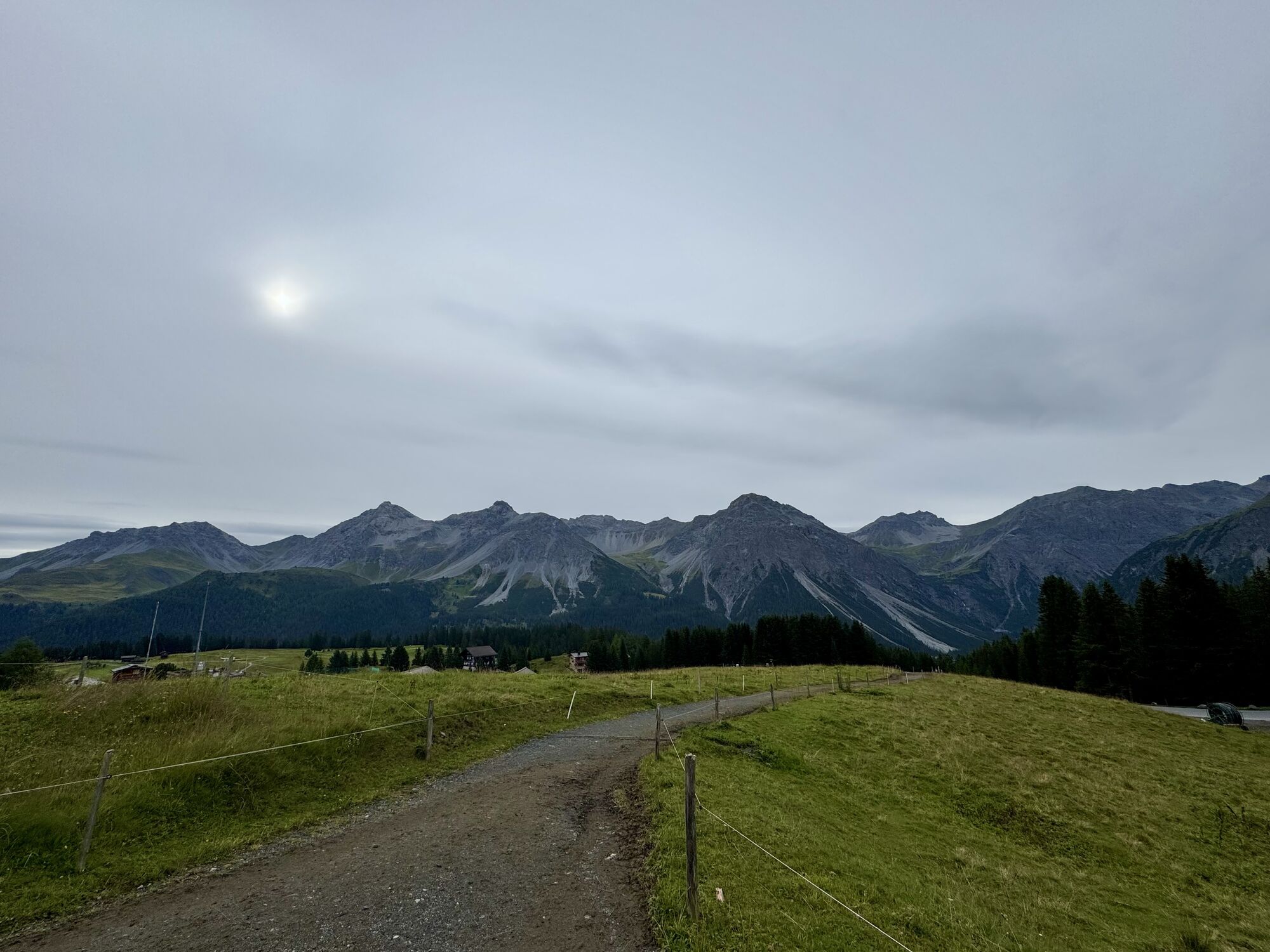
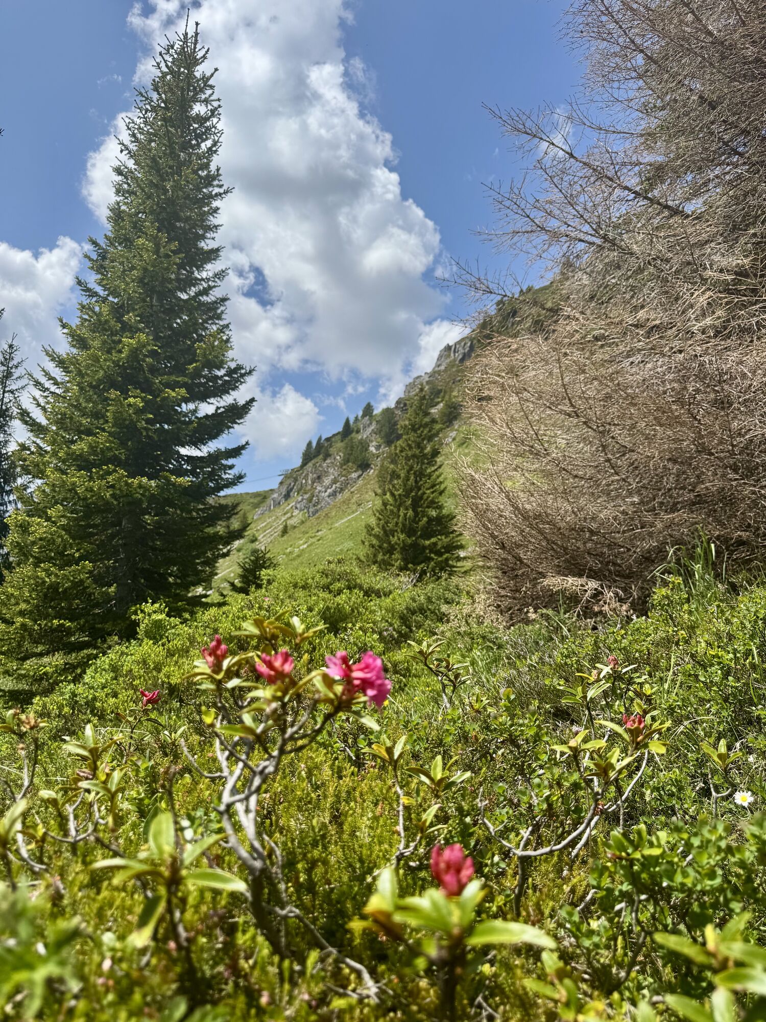
The Arlen forest is centrally located and brings you to beautiful spots not far from the village. Before the actual ascent begins, this trail starts at the Scheitenböden and continues on the main street...
The Arlen forest is centrally located and brings you to beautiful spots not far from the village. Before the actual ascent begins, this trail starts at the Scheitenböden and continues on the main street to Innerarosa. On a gravel road the trail leads across the summery skiing area to the middle station of the Arosa Weisshorn gondola. It then returns back down through the Arlen forest to the Scheitenböden.

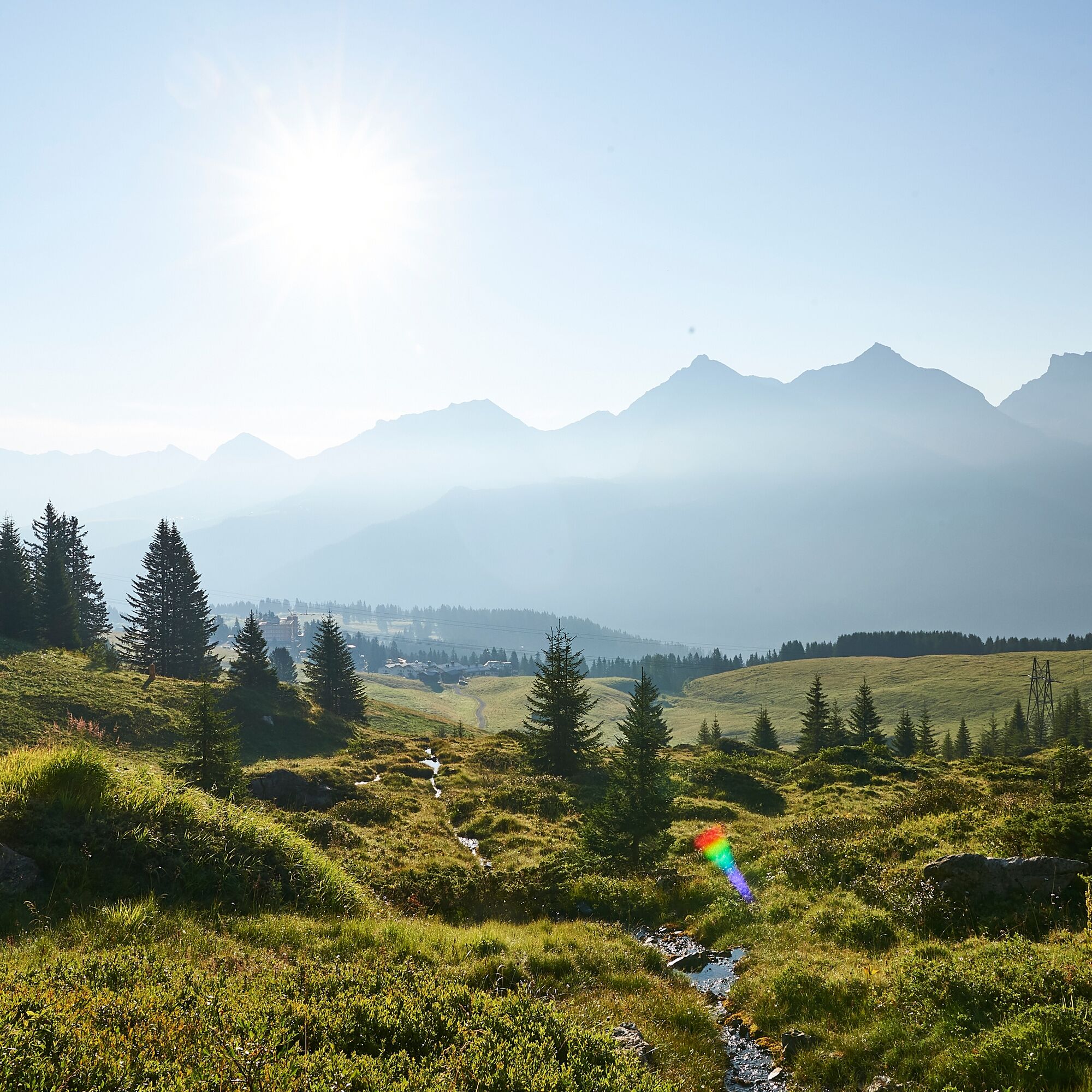
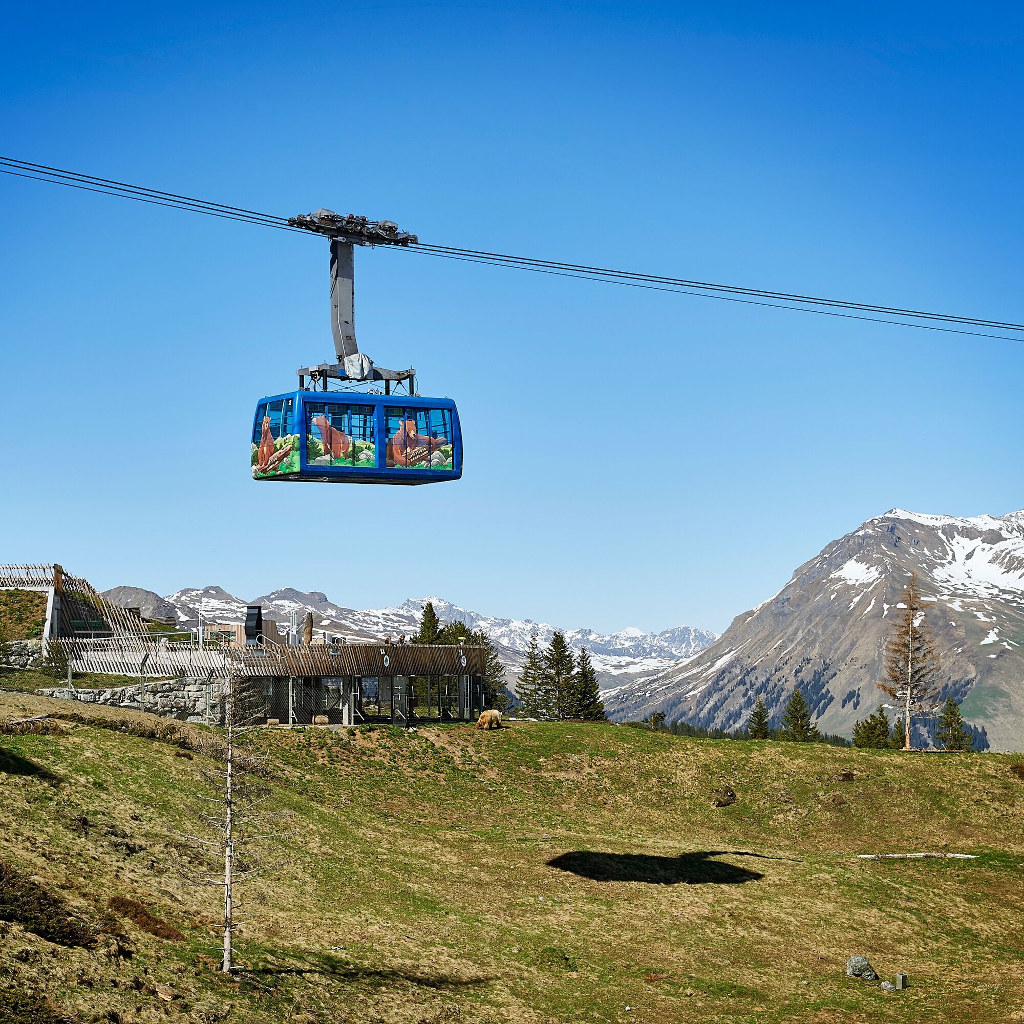
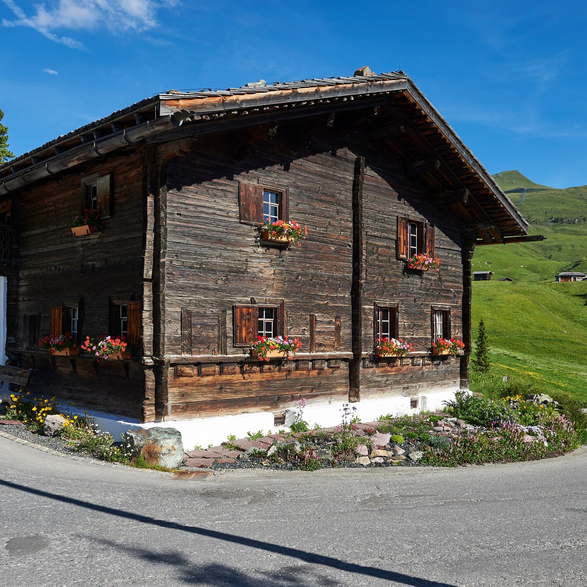

Starting at the Scheitenböden the trail follows the main street to Innerarosa. It passes Brüggli and Kulmwiese and the gravel path finally leads to the restaurant Alpenblick. After a short ascent the trail now flattens out and reaches the bottom station of the Plattenhorn chairlift (not in operation during the summer season). It then continues to the Arosa Weisshorn middle station where it is possible to enjoy a short break at the restaurant Brüggerstuba. RIght after the middle station starts the Arlen forest trail back down to Maran. As of Maran the path leads through the forest - just above the squirrel trail - and ends back at the Scheitenböden.
Once you arrive in Chur, follow the sign posts Arosa. Before the Obersee lake take a right turn and again right at the beverage storage warehouse. The Scheitenböden are located where the chair lift passes above the main street.
The Rhaetian Railway leaves Chur to Arosa and back at hourly intervals. The Scheitenböden are located just above the train station and easily accessible by foot.
There are no parking spots at the Scheitenböden. Therefore it is recommended to park at the car park Ochsenbühl (right next to the Sports and Conference Centre).
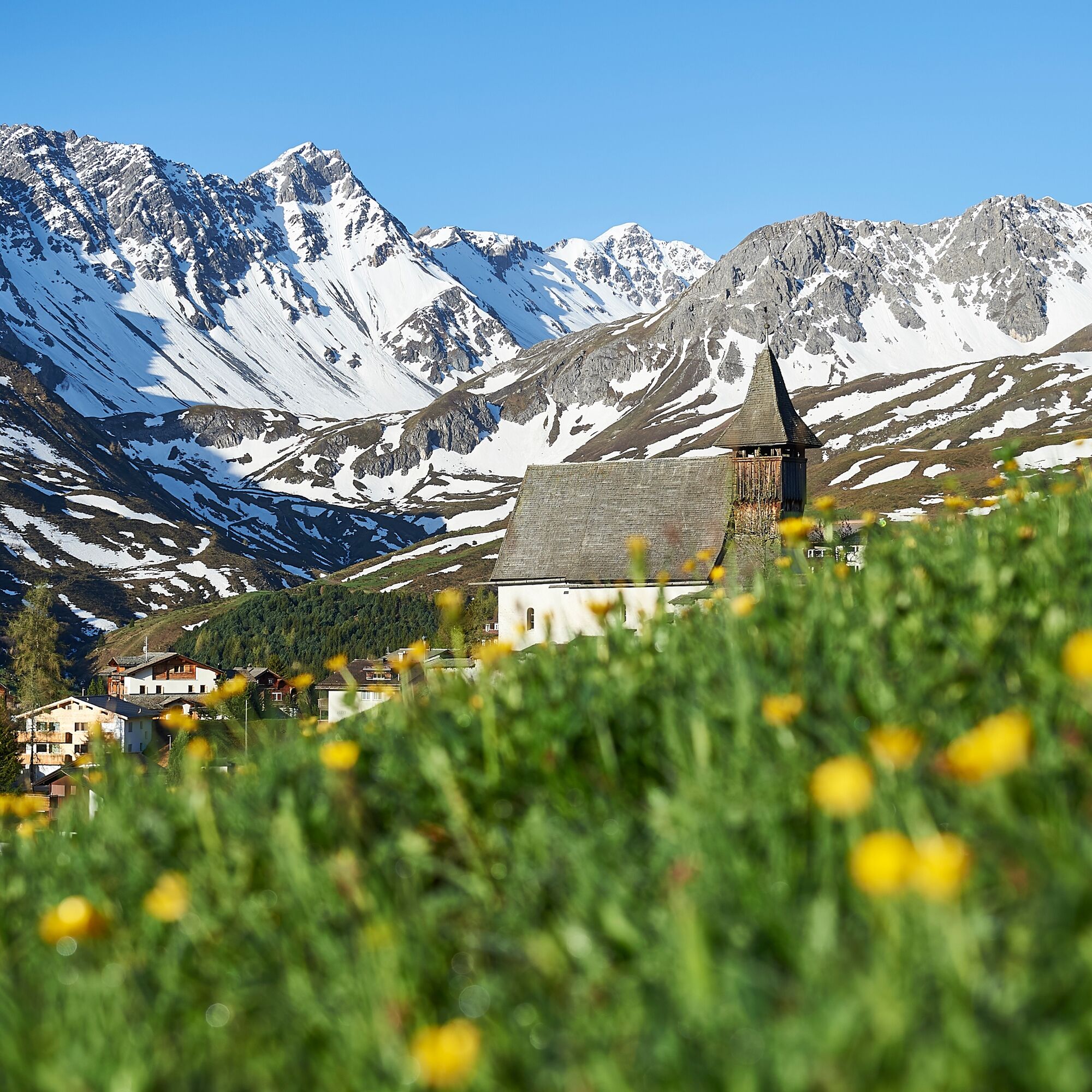
Besuch im Arosa Bärenland, im Heimatmuseum "Eggahus" oder ein Abstecher zum beliebten Bergkirchli.
Získajte prehľad
Vždy naživo na mieste s viac ako 9 500 webovými kamerami. bergfex Ako používateľ Pro si teraz môžete pozrieť príslušné webové kamery pre mnohé zájazdy v aplikácii zájazdy z. Môžete si tak priamo prezerať aktuálne podmienky.
Obľúbené výlety v okolí
-
3,9
Arosa-Medergen-Tritt-Latschüelfurgga-Strelapass-Davos
strednáTuristika 22,5 km -
Arosa-Schwellisee-Älplisee-Parpaner Rothorn
Turistika 12,3 km -
4,8
749 Val Meltger suspension bridge trail
strednáTuristika 8,30 km -
3,5
Arosa-Maienfelder Furgga-Stafelalp-Davos
strednáTuristika 15,9 km -
4,7
Arosa-Hörnli-Parpaner Rothorn-Lenzerheide
Turistika 11,9 km -
5,0
Arosa-Hörnli-Urdenfürrgli-Alp Scharmoin-Lenzerheide
strednáTuristika 15,3 km -
5,0
Eichhörnliweg Arosa
svetloTematická trasa 1,72 km -
5,0
Arosa-Erzhornsattel-Arosa
Turistika 14,9 km -
5,0
767 Alteinsee Schiesshorn
strednáTuristika 11,9 km -
Alp Sanaspans - Rothorn
ťažkéTuristika 13,6 km
Turistika a stopovanie


Nenechajte si ujsť ponuky a inšpiráciu na ďalšiu dovolenku
Vaša e-mailová adresa bol pridaný do poštového zoznamu.





