







Intermediate trail run - Val Tuors - panorama route
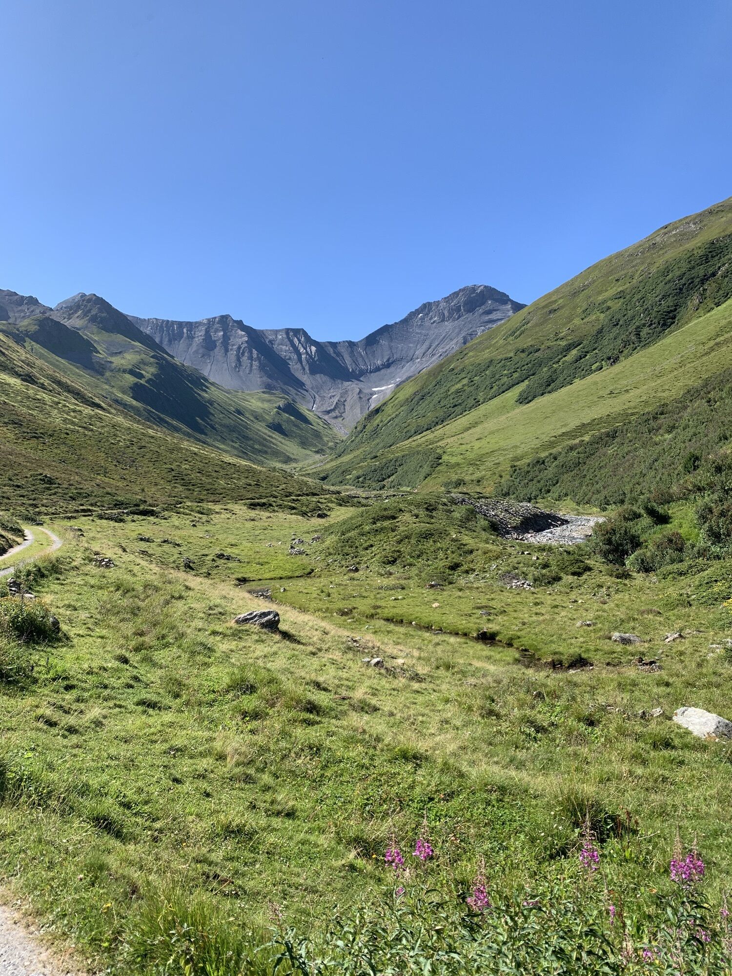
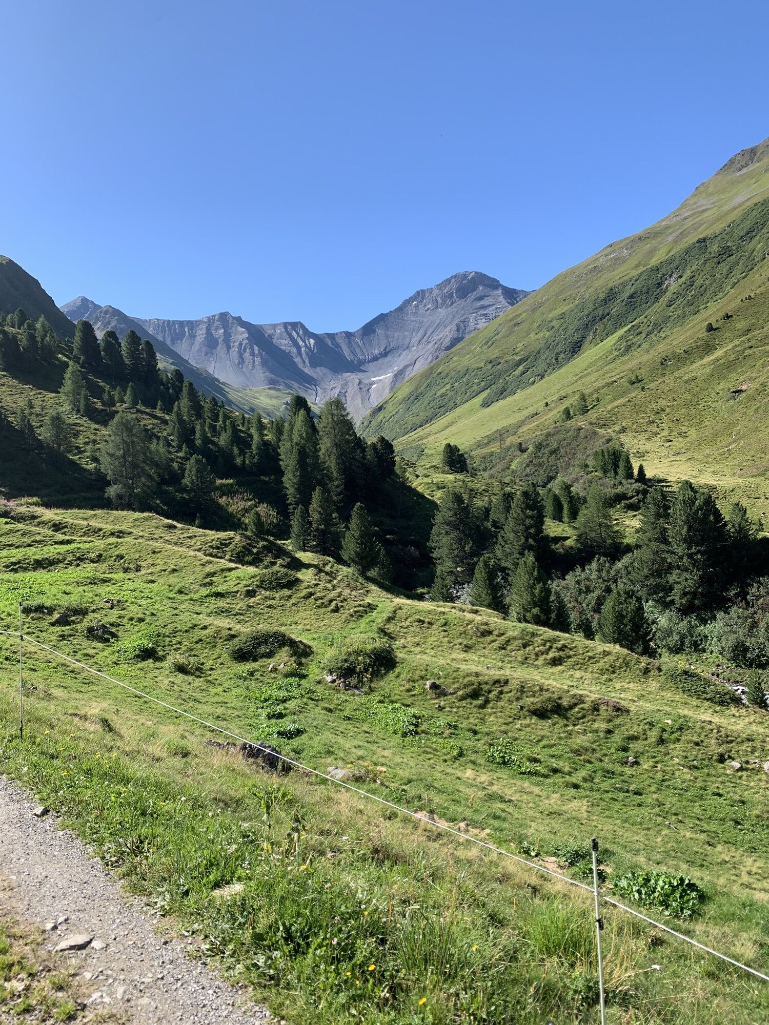
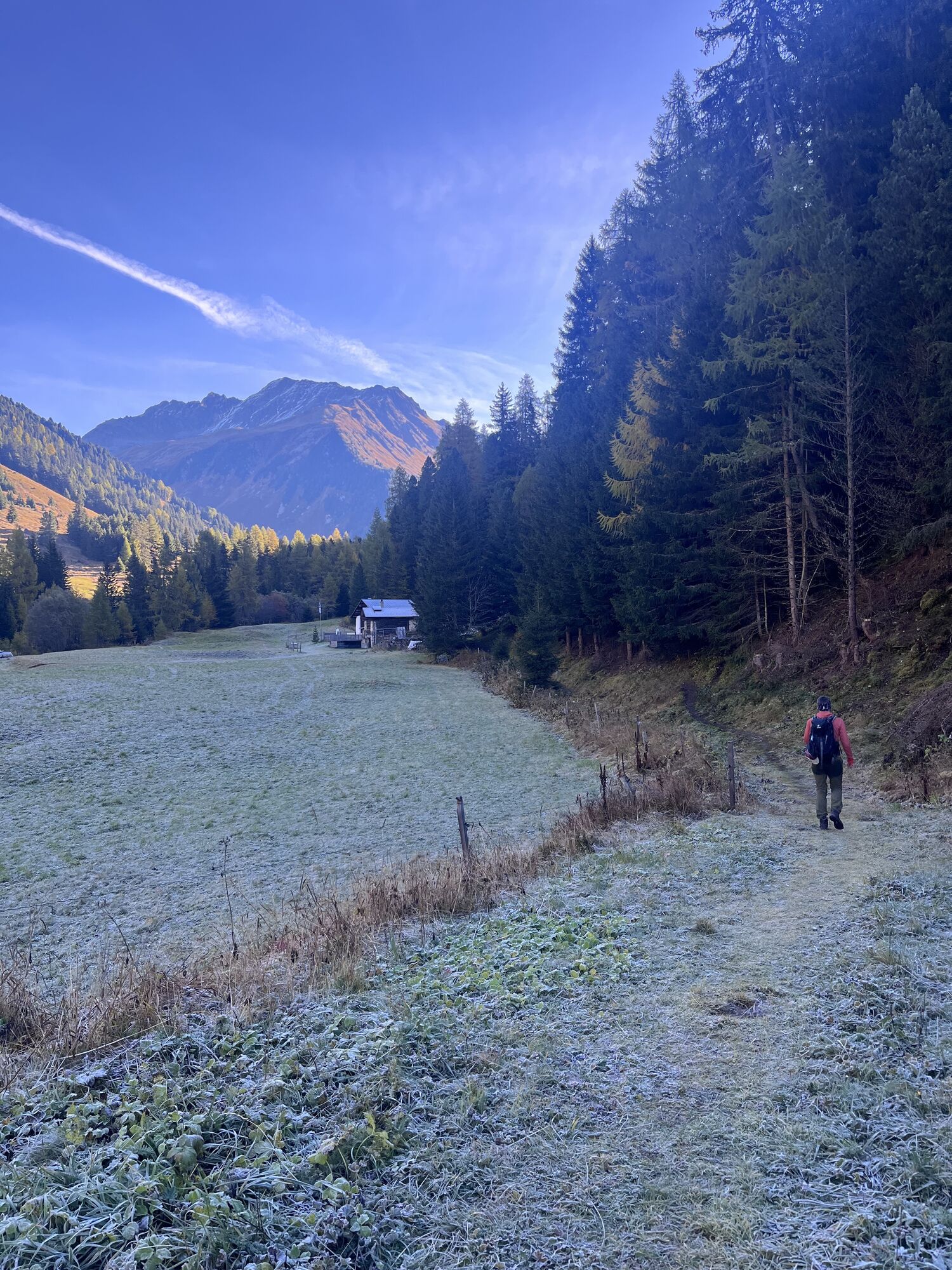
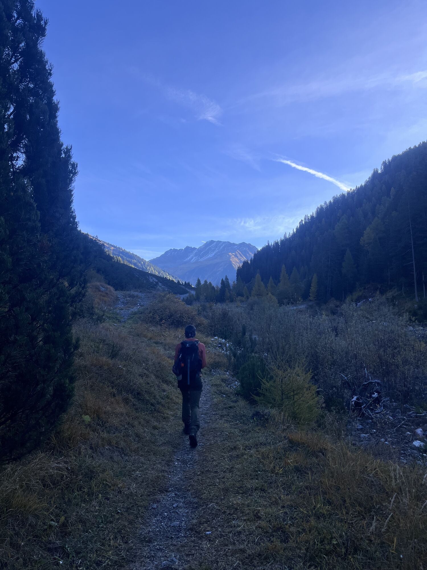
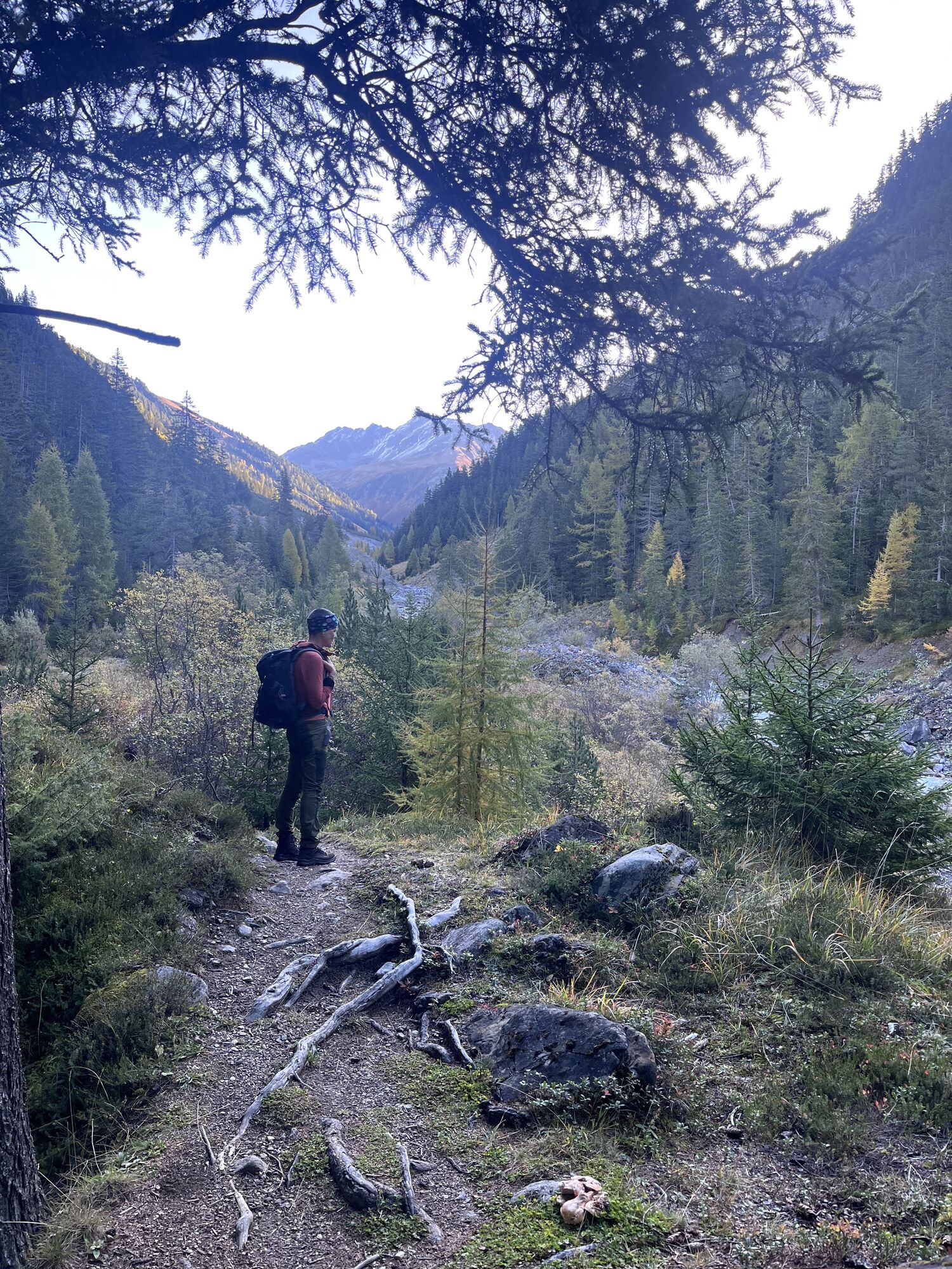
Start and finish are in Bergün. The picturesque route can be done in either direction. The gentle start across Val Tuors along the stream does not follow the road but keeps turning onto small hiking paths....
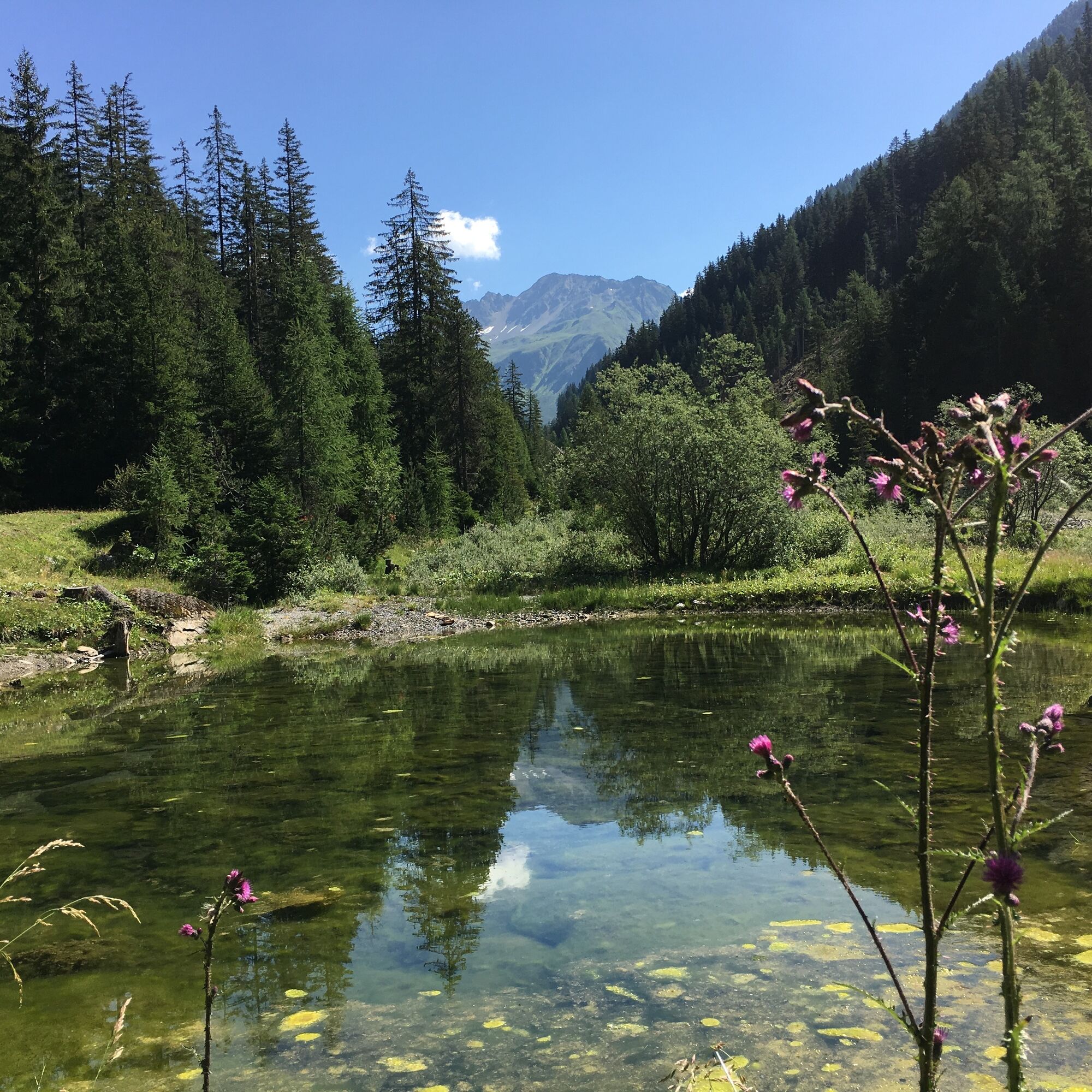
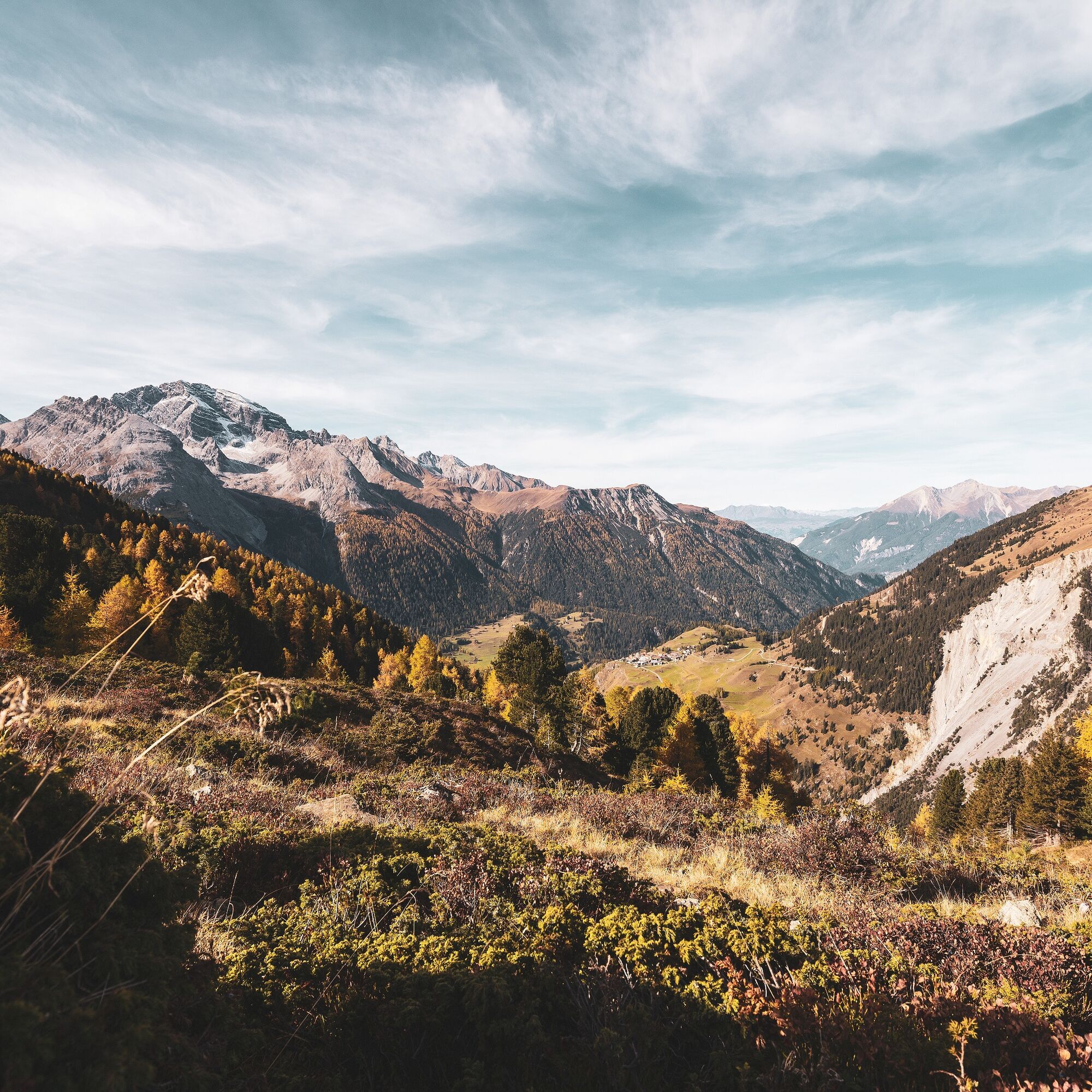
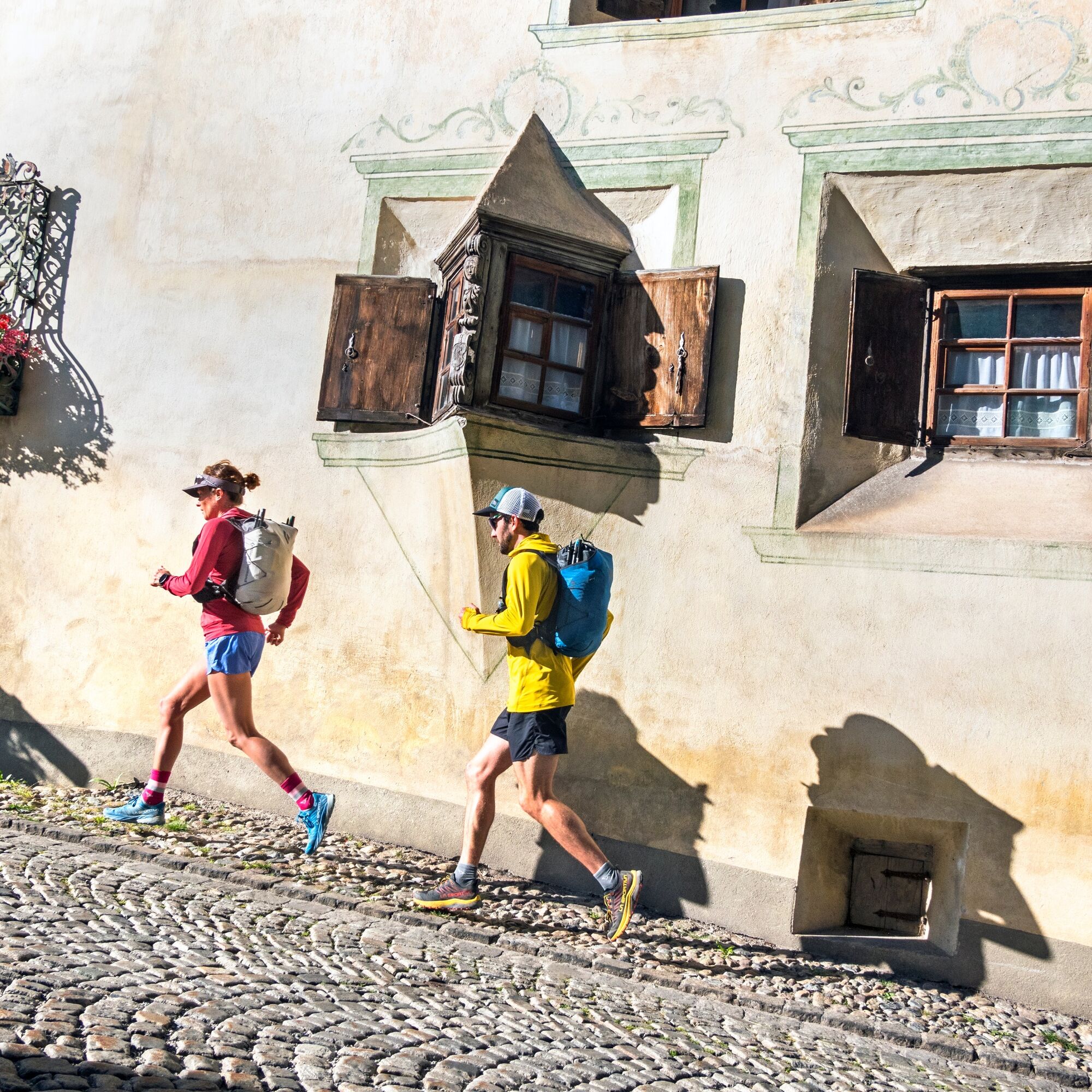
Start and finish are in Bergün. The picturesque route can be done in either direction. The gentle start across Val Tuors along the stream does not follow the road but keeps turning onto small hiking paths. Through the alpine settlements, the path then leads uphill towards Alp digl Chant. After the alp, the path turns right and crosses the stream up to the panorama route towards Muetta and the mountain restaurant La Diala. High above the valley you enjoy a wonderful view of Piz Ela and the route leads back towards Bergün in a varied way. Those who want to save the last descent meters in this direction or just want to rest can get refreshments at the mountain restaurant La Diala and take the chairlift towards Bergün. Otherwise, from there it goes in a final sprint back to Bergün, partly on the road. Note that the mountain restaurant and chairlift are closed on Tuesdays.


Áno
There are also parking spaces at Bergün train station.
The start of the route is at Bergün train station.
Paid parking is available.
A great beginner route with spectacular panorama and varied terrain. Those who prefer a shorter and more intense route can already turn towards Muetta at Plaun da Saneva.

Webové kamery z prehliadky
Získajte prehľad
Vždy naživo na mieste s viac ako 9 500 webovými kamerami. bergfex Ako používateľ Pro si teraz môžete pozrieť príslušné webové kamery pre mnohé zájazdy v aplikácii zájazdy z. Môžete si tak priamo prezerať aktuálne podmienky.
Obľúbené výlety v okolí
-
5,0
Fluela Schwarzhorn 3147 m
svetloVysoké turné 7,34 km -
Flüelapass – Schwarzhorn (return)
strednáTuristika 7,92 km -
4,0
Piz Nair - Corviglia - Chantarella
strednáTuristika 8,20 km -
Kesch Trek Tour (4 stages)
strednádiaľková pešia trasa 47,6 km -
4,7
Bever-Spinas (Val Bever)
svetloZimná turistika 4,06 km -
4,0
Bernina Trek classic: Stage 1 Madulain-Chamanna d'Es-cha
strednáTuristika 5,83 km -
5,0
Zuoz - Munt Seja - Lej da Prastinaun - Alp Arpiglia - Zuoz
strednáTuristika 11,8 km -
5,0
Preda - Lai da Palpuogna
svetloTuristika 1,67 km -
3,0
Flüela – Chamanna Grialetsch
strednáTuristika 10,9 km -
4,3
Albulapass-Chamanna d'Es-cha-Zuoz
strednáTuristika 11,0 km
Turistika a stopovanie


Nenechajte si ujsť ponuky a inšpiráciu na ďalšiu dovolenku
Vaša e-mailová adresa bol pridaný do poštového zoznamu.





