


Vnà – Piz Arina
Our start is at the parking lot in Vnà, where the PostAuto stop is located. We follow the path towards Alp Discholas. The alpine farm road leads through Swiss pine and larch forest. After a steep ascent,...
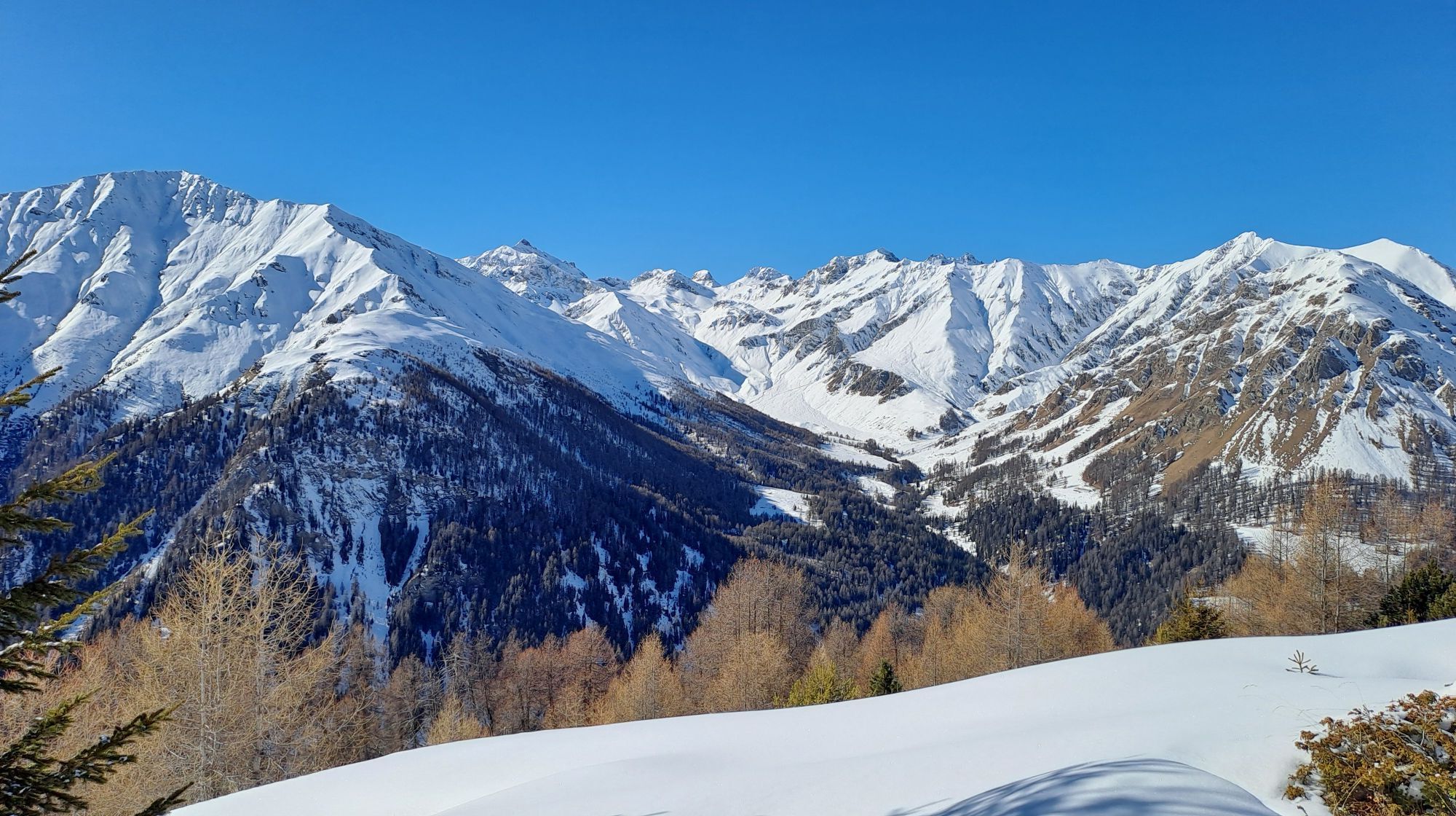
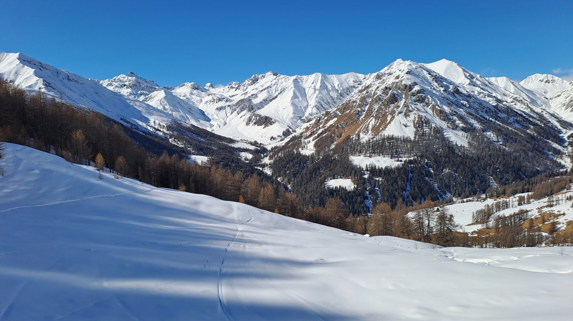
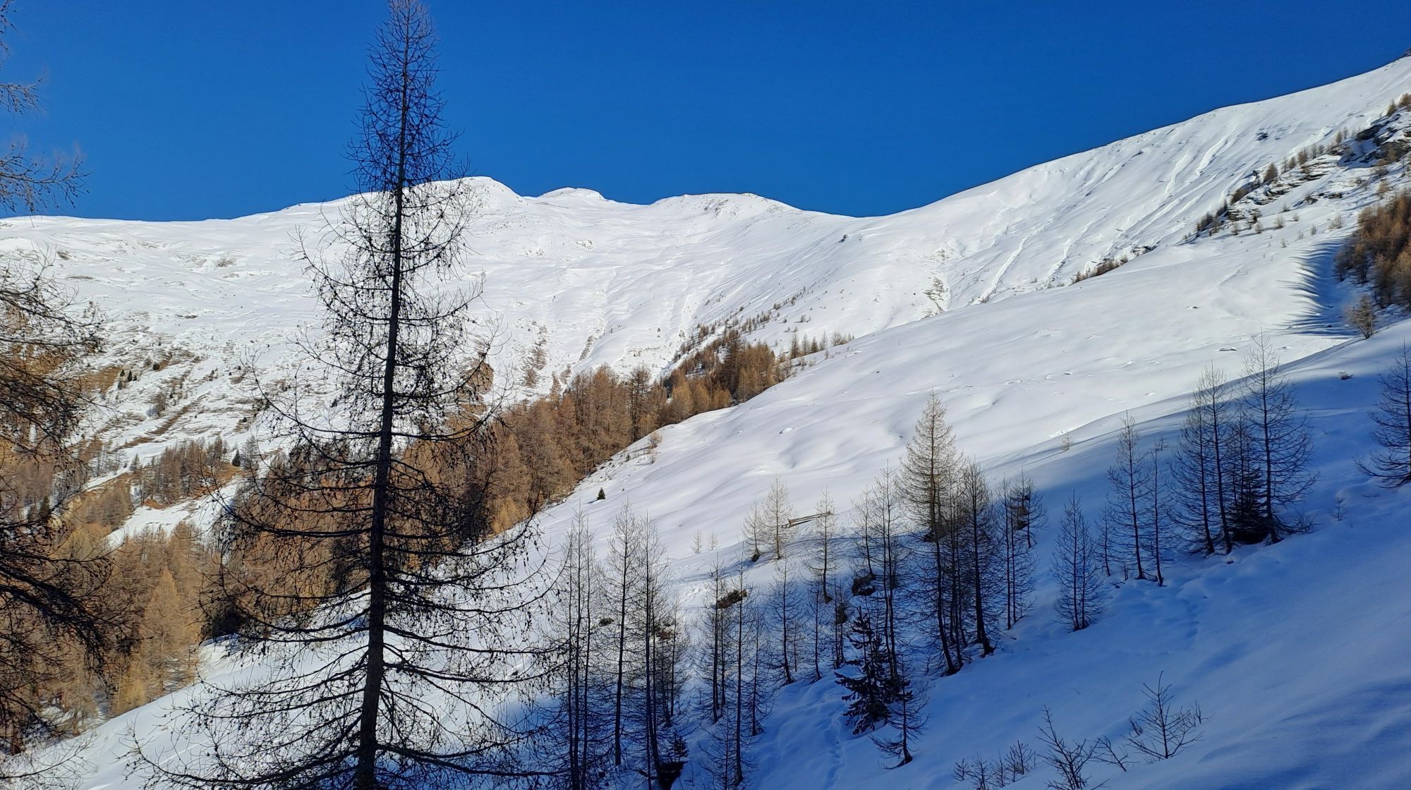
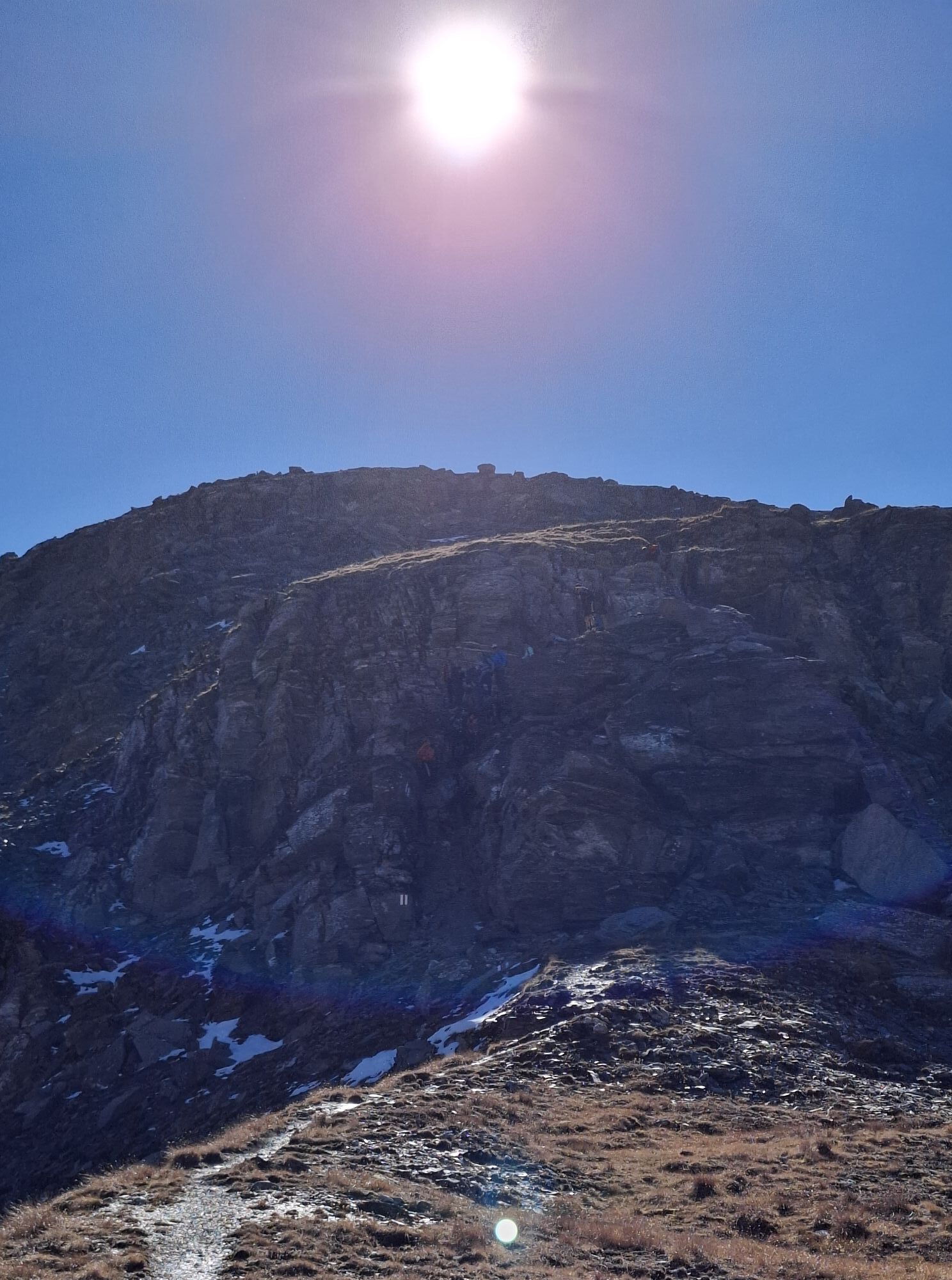
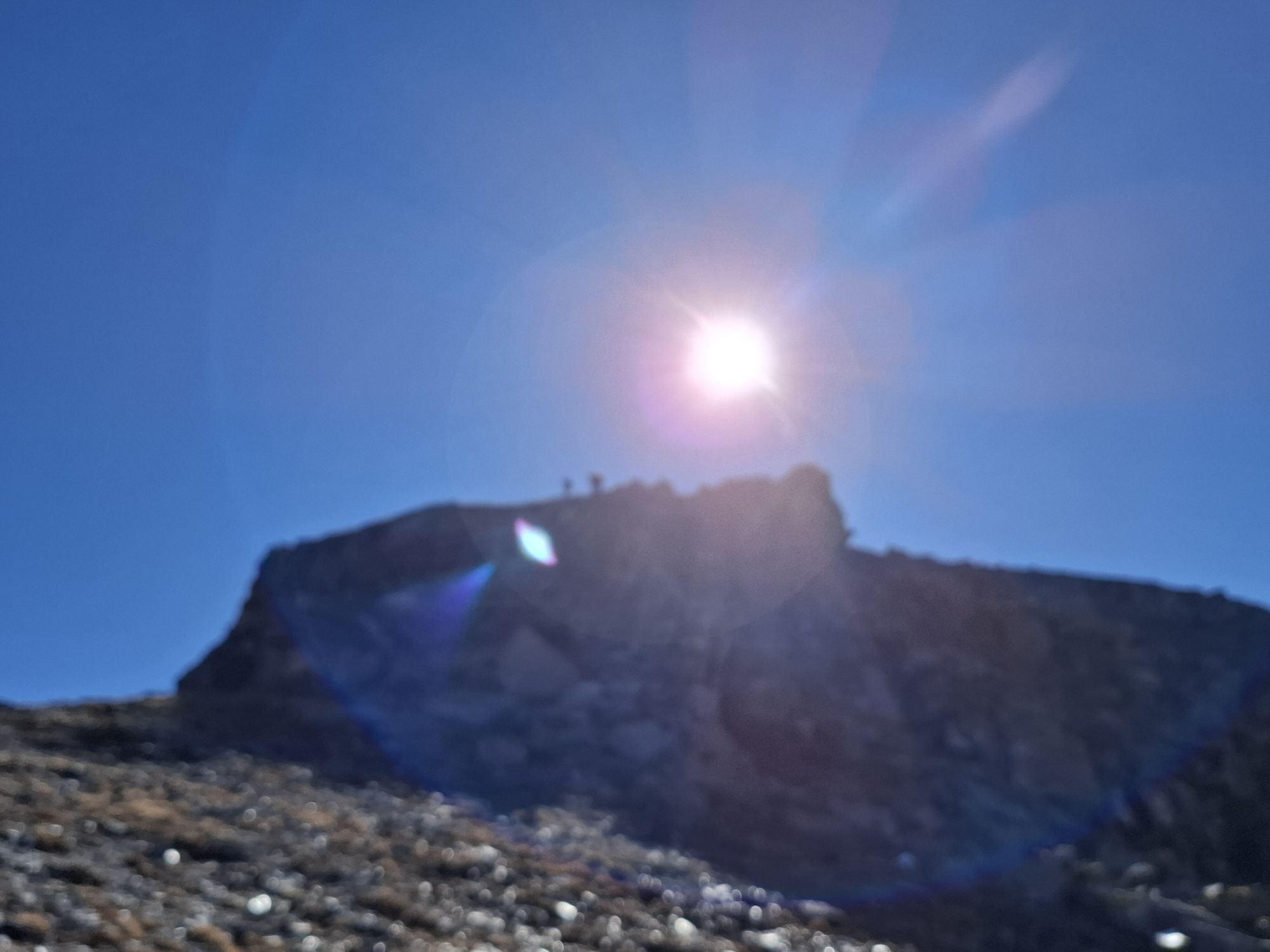
Our start is at the parking lot in Vnà, where the PostAuto stop is located. We follow the path towards Alp Discholas. The alpine farm road leads through Swiss pine and larch forest. After a steep ascent, you reach Alp Discholas. Now opens the mountain panorama of the Lower Engadine Dolomites on the southeast side. Another 500 meters of elevation with challenging character await until you reach the summit ridge. This section is doable for experienced mountain runners. After just under 7 km of distance covered, you reach the summit of Piz Arina, where you should pause and enjoy the panoramic view. After the break, you can look forward to a varied descent. After 9 km you are at 2100 m and turn left towards Vnà. The trail becomes quieter. In this section, note that suckler cow herds may be present, from which you should keep a distance.

Parking Vnà – Village Vnà – Towards Alp Discholas/Arina – Vnà
Áno
Áno
Trail running shoes with good grip
The route was rated under favorable weather conditions; the current weather and forecasts must be strictly observed before starting the route. Pay special attention to suckler cow herds and keep a great distance to avoid them.
Emergency numbers:
144 Emergency call, first aid
1414 Mountain rescue REGA
112 International emergency call
From the north: via Landquart – Klosters by car shuttle through the Vereina tunnel (Selfranga - Sagliains) or via Flüela Pass into the Lower Engadin on H27
From the east: via Landeck / Austria towards St. Moritz on H27
From the south: via Reschen Pass (Nauders-Martina) or Ofen Pass (Val Müstair-Zernez) on H27
Ramosch lies directly on the Engadin road H27. From Ramosch, Vnà is reachable in 5 minutes by car
By the Rhaetian Railway (from Chur, Landquart/Prättigau or Upper Engadin) hourly to Scuol-Tarasp
By PostAuto from Scuol, staziun to Ramosch, Fermada
At Ramosch, Fermada change and continue to Vnà, Jalmèr
Parking in Vnà by the PostAuto stop
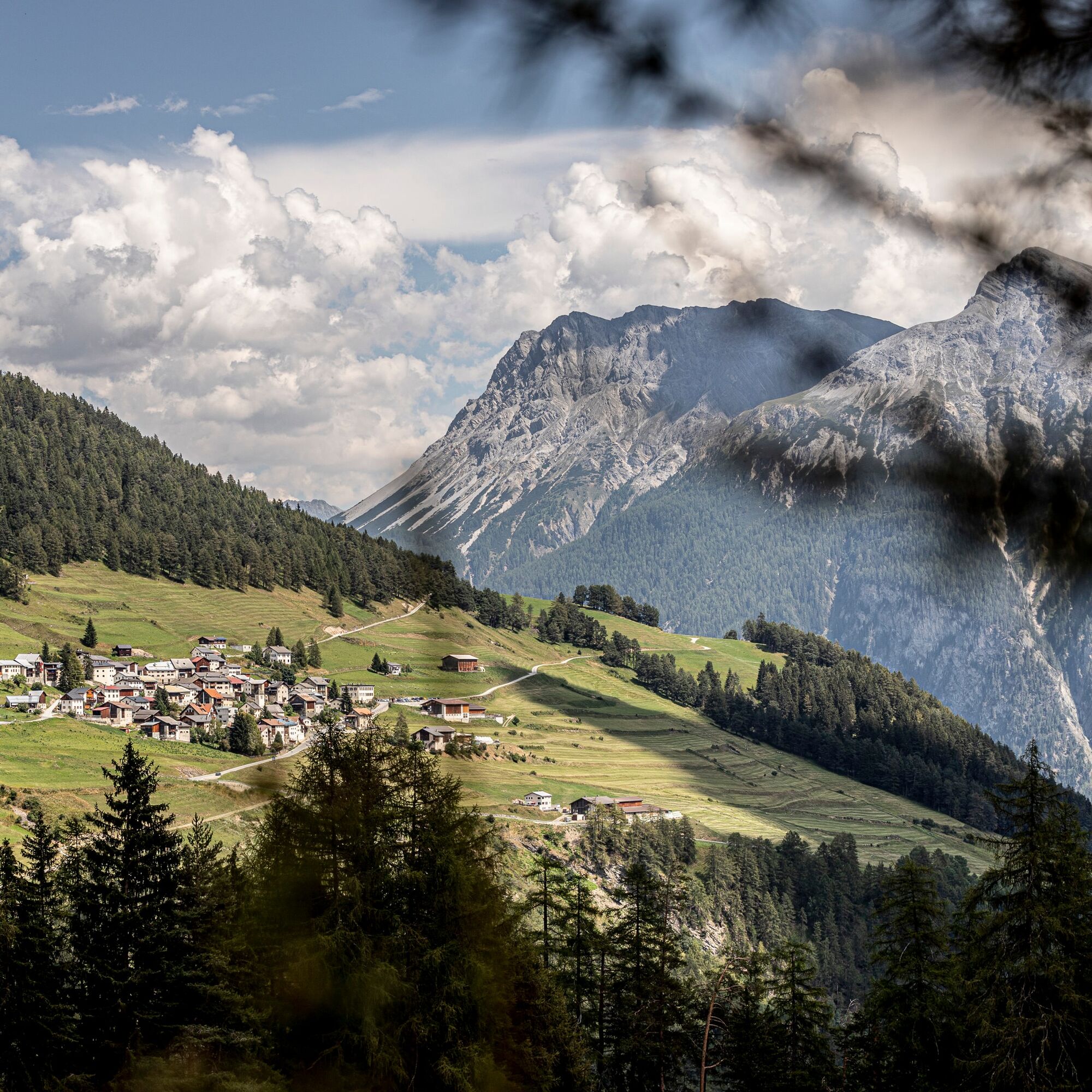
Picturesque village Vnà
Swiss pine forest
360° view from the summit cross of Piz Arina
View into Val Sinestra
Obľúbené výlety v okolí
-
4,1
Panoramaweg Schöneben Haider Alm
svetloTuristika 5,78 km -
4,2
Reschensee
svetloTuristika 15,6 km -
5,0
Samnaun Dorf – Muttler
ťažkéTuristika 14,8 km -
3,5
Nauders - Bergkastel - Plamort - Reschen - Nauders
strednáMountainbike 20,9 km -
4,5
Leonhardskapelle - Deiländerblick - Mein Dörfl Bar-Bungalov - Kapelle zum Hl. Martin
svetloCyklistika 29,2 km -
4,7
Around the Flimspitz from Alptrider Sattel
strednáTuristika 8,57 km -
4,5
Tarasp Fontana – Sparsels – Lai Nair (circular route)
svetloTuristika 7,67 km -
5,0
Plamort
svetloTuristika 8,25 km -
5,0
San Jon – Chamonna Lischana (return)
strednáTuristika 12,0 km -
3,6
Bergstation Silvretta nach Patznauener Taja
svetloTuristika 11,6 km

Turistika a stopovanie


Nenechajte si ujsť ponuky a inšpiráciu na ďalšiu dovolenku
Vaša e-mailová adresa bol pridaný do poštového zoznamu.